Elevation of Casey St, Loris, SC, USA
Location: United States > South Carolina > Horry County > Loris >
Longitude: -78.899450
Latitude: 34.0580889
Elevation: 31m / 102feet
Barometric Pressure: 101KPa
Elevation Map:
Satellite Map:
Related Photos:

Nose Knows

Shattered View

It Lies Beneath

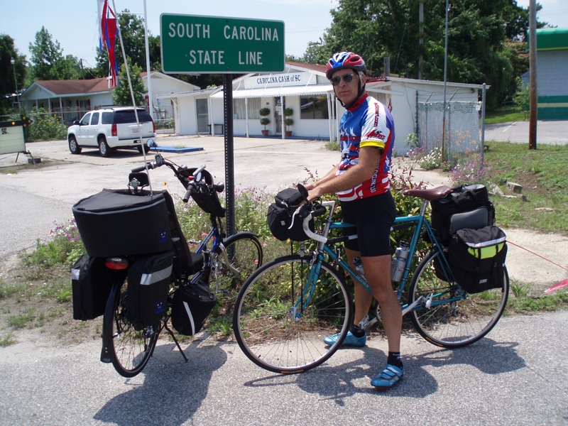
The official SC Welcome Sign

Moss Abstract
We have arrived

Such a reception--just for us

Twin City Airport-Runway 8

Sunset over Tabor City Sports Complex

20160731_162317(0)
Topographic Map of Casey St, Loris, SC, USA
Find elevation by address:

Places near Casey St, Loris, SC, USA:
4150 Harrelson Ave
4375 Harrelson Ave
420 Sc-45
Loris
Main Street & Railroad Avenue
3610 Broad St
4249 Walnut St
620 Sc-45
4629 Circle Dr
3200 Bryant St
4802 Forest Dr
791 Us-701
4809 Circle Dr
Willow Street
Trooper Lane
Loris, SC, USA
811 Sc-45
3576 Rogers Rd
190 State Rd S-26-570
1100 State Rte 9 Business
Recent Searches:
- Elevation of Congressional Dr, Stevensville, MD, USA
- Elevation of Bellview Rd, McLean, VA, USA
- Elevation of Stage Island Rd, Chatham, MA, USA
- Elevation of Shibuya Scramble Crossing, 21 Udagawacho, Shibuya City, Tokyo -, Japan
- Elevation of Jadagoniai, Kaunas District Municipality, Lithuania
- Elevation of Pagonija rock, Kranto 7-oji g. 8"N, Kaunas, Lithuania
- Elevation of Co Rd 87, Jamestown, CO, USA
- Elevation of Tenjo, Cundinamarca, Colombia
- Elevation of Côte-des-Neiges, Montreal, QC H4A 3J6, Canada
- Elevation of Bobcat Dr, Helena, MT, USA