Elevation of Tozawa, Mogami District, Yamagata Prefecture, Japan
Location: Japan > Yamagata Prefecture > Mogami District >
Longitude: 140.143803
Latitude: 38.7374733
Elevation: 35m / 115feet
Barometric Pressure: 101KPa
Elevation Map:
Satellite Map:
Related Photos:

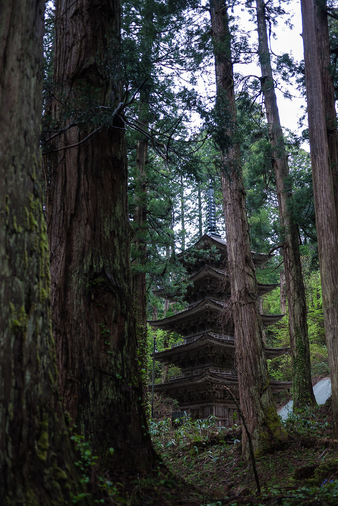
The 5-Story Pagoda (National Treasure) (ILCE-6000 + SEL1635Z)
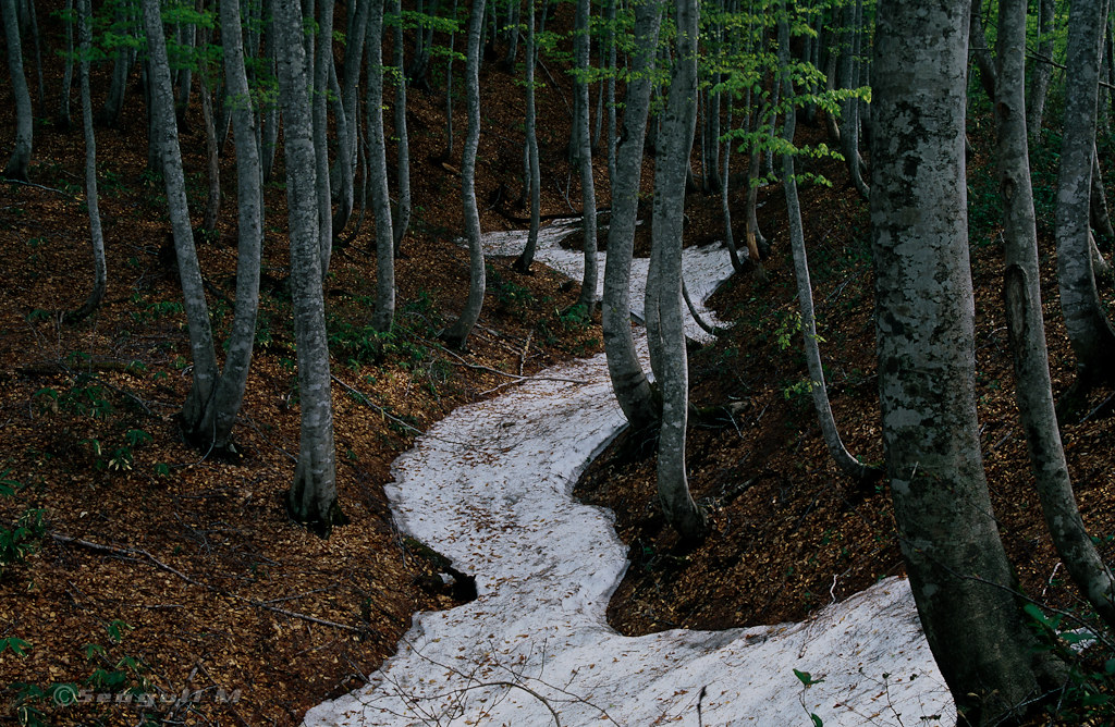
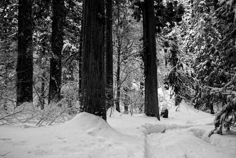
春への道 / Road to spring
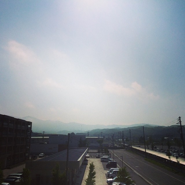
おはようございます。今日もいい天気、暑くなりそうです。
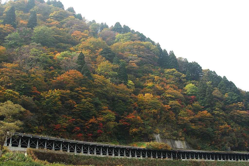
最上川兩岸紅葉
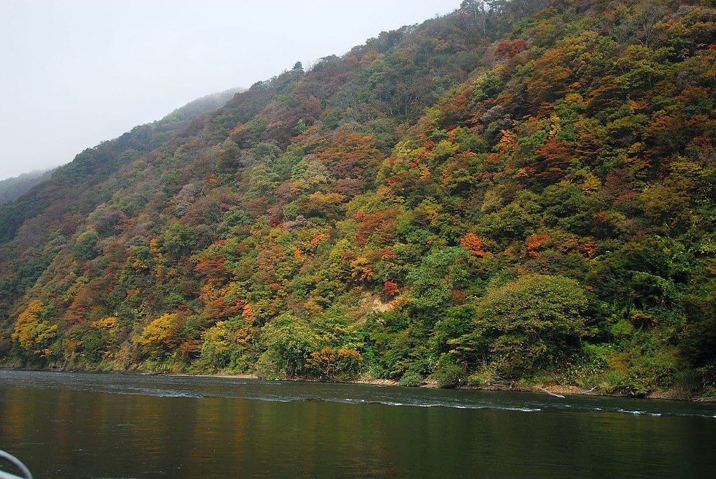
最上川兩岸紅葉
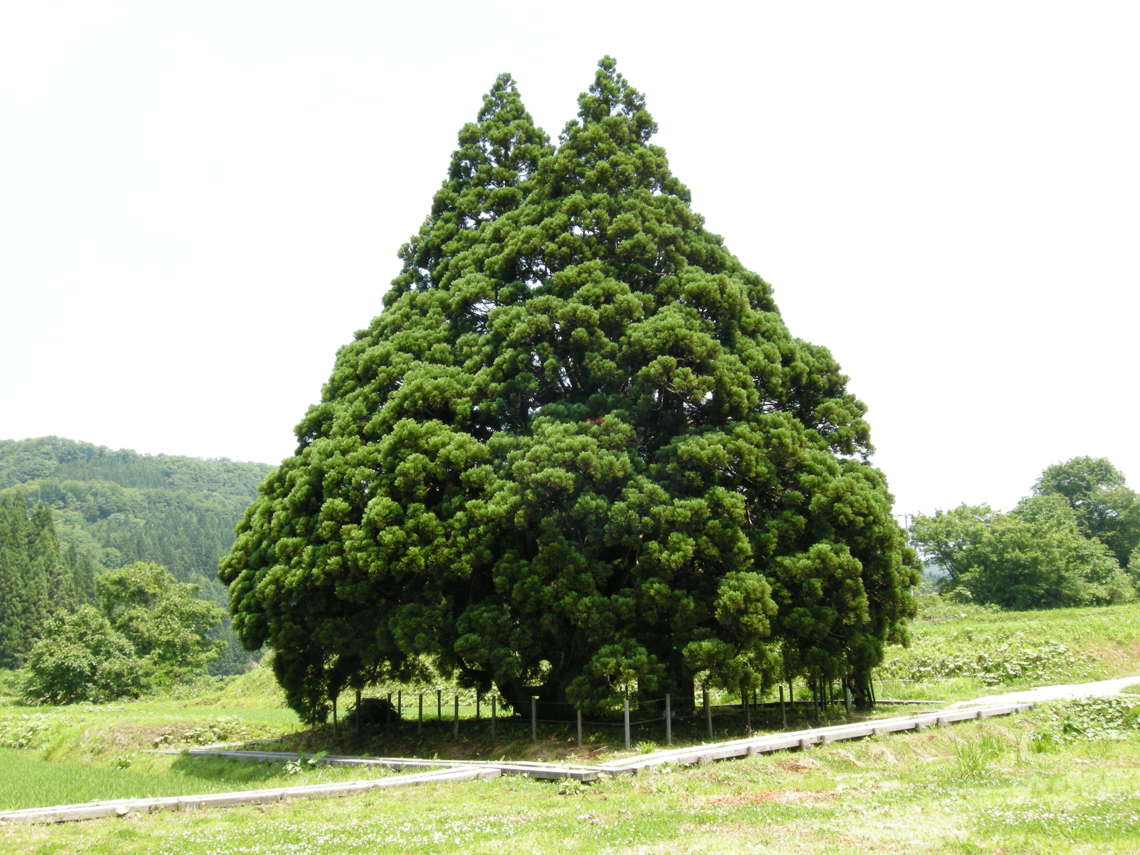
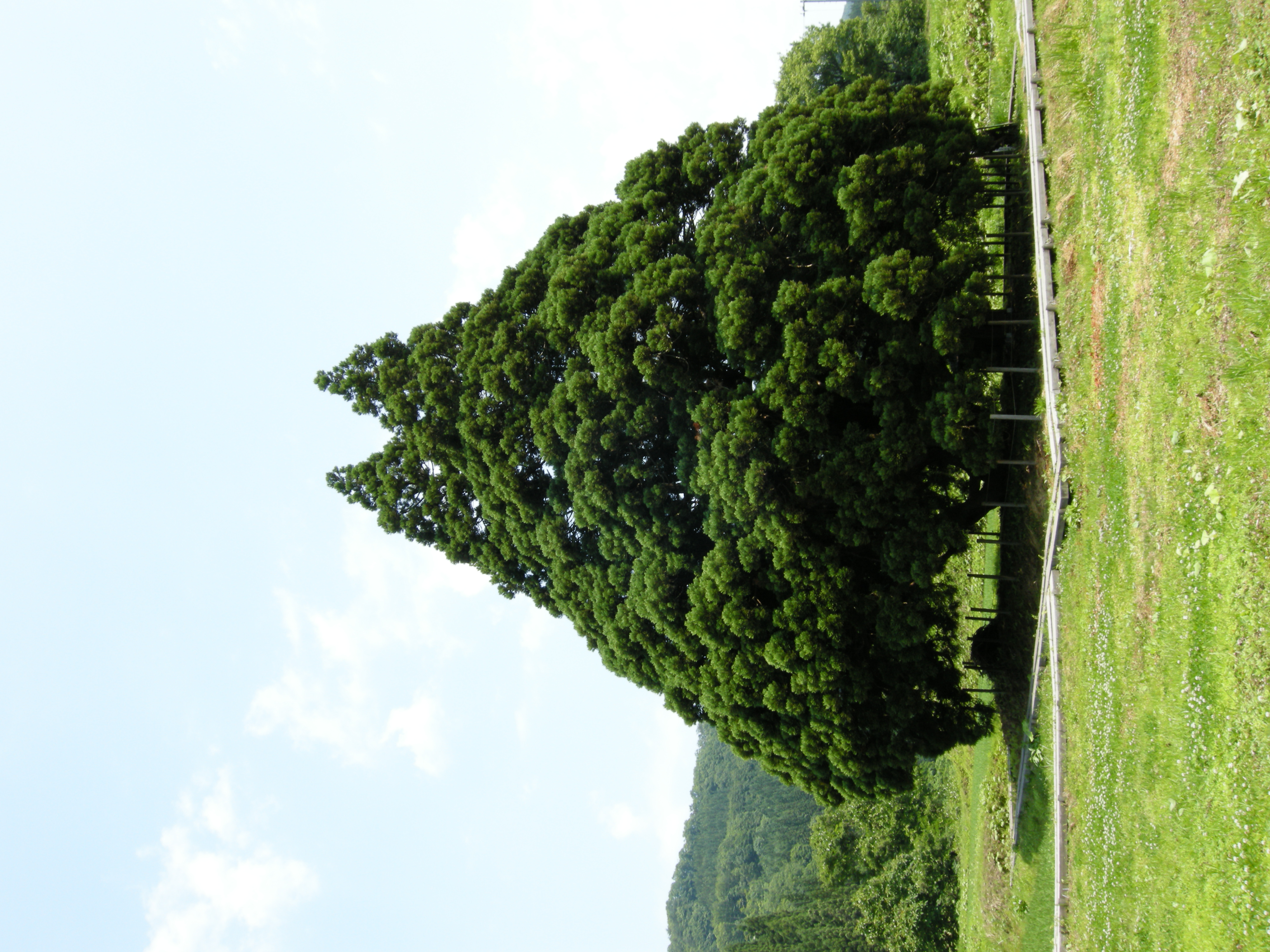
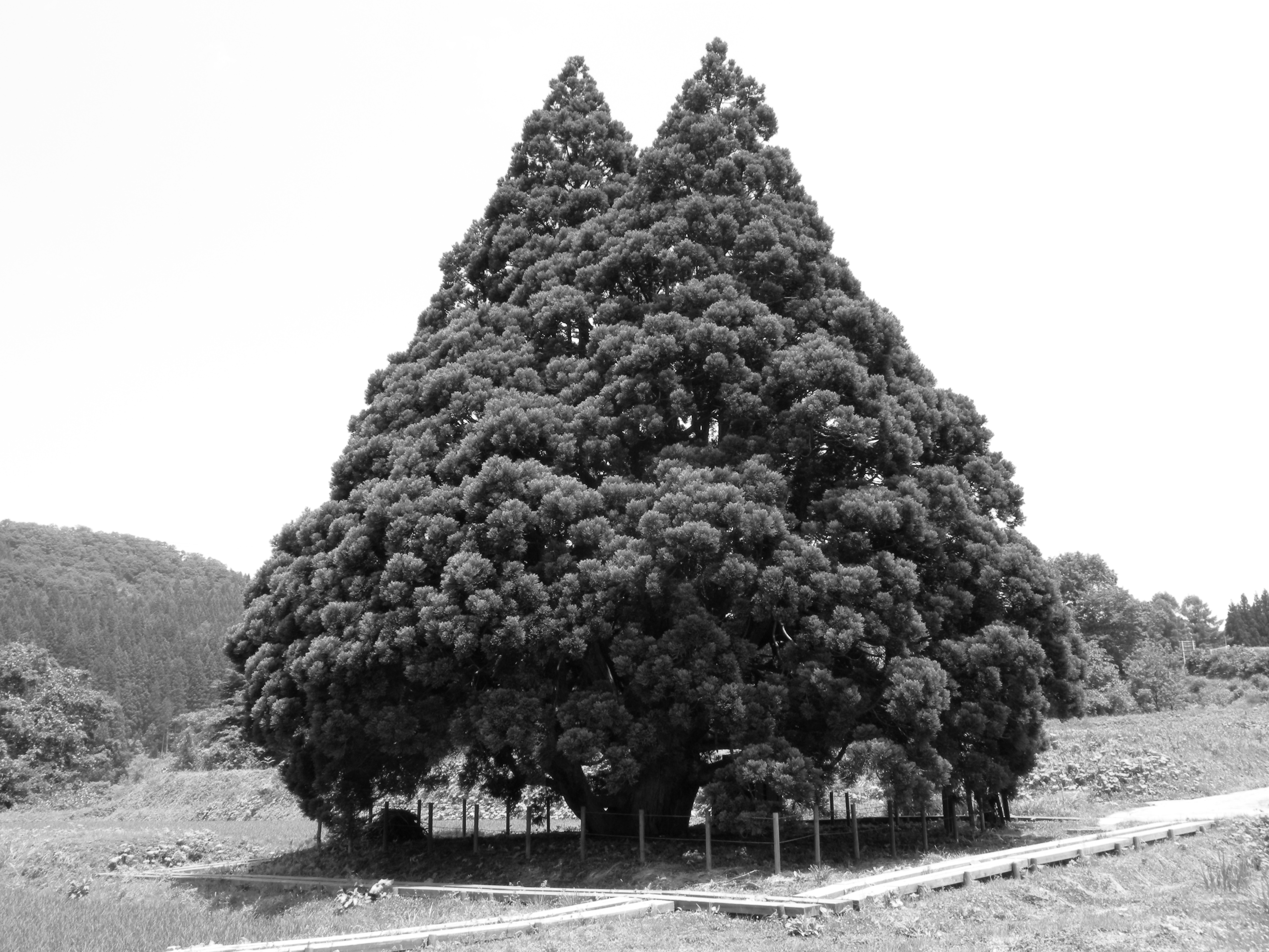
Tree of Totoro
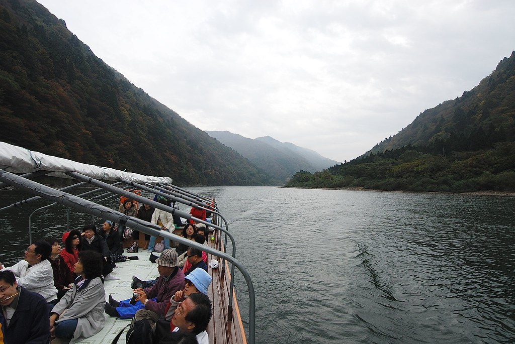
最上川なう
羽黒山五重塔
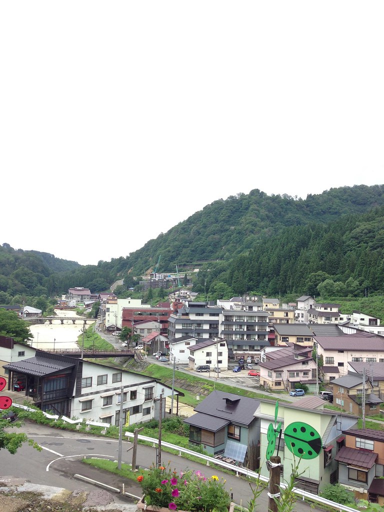
Country Roads
最上川兩岸紅葉
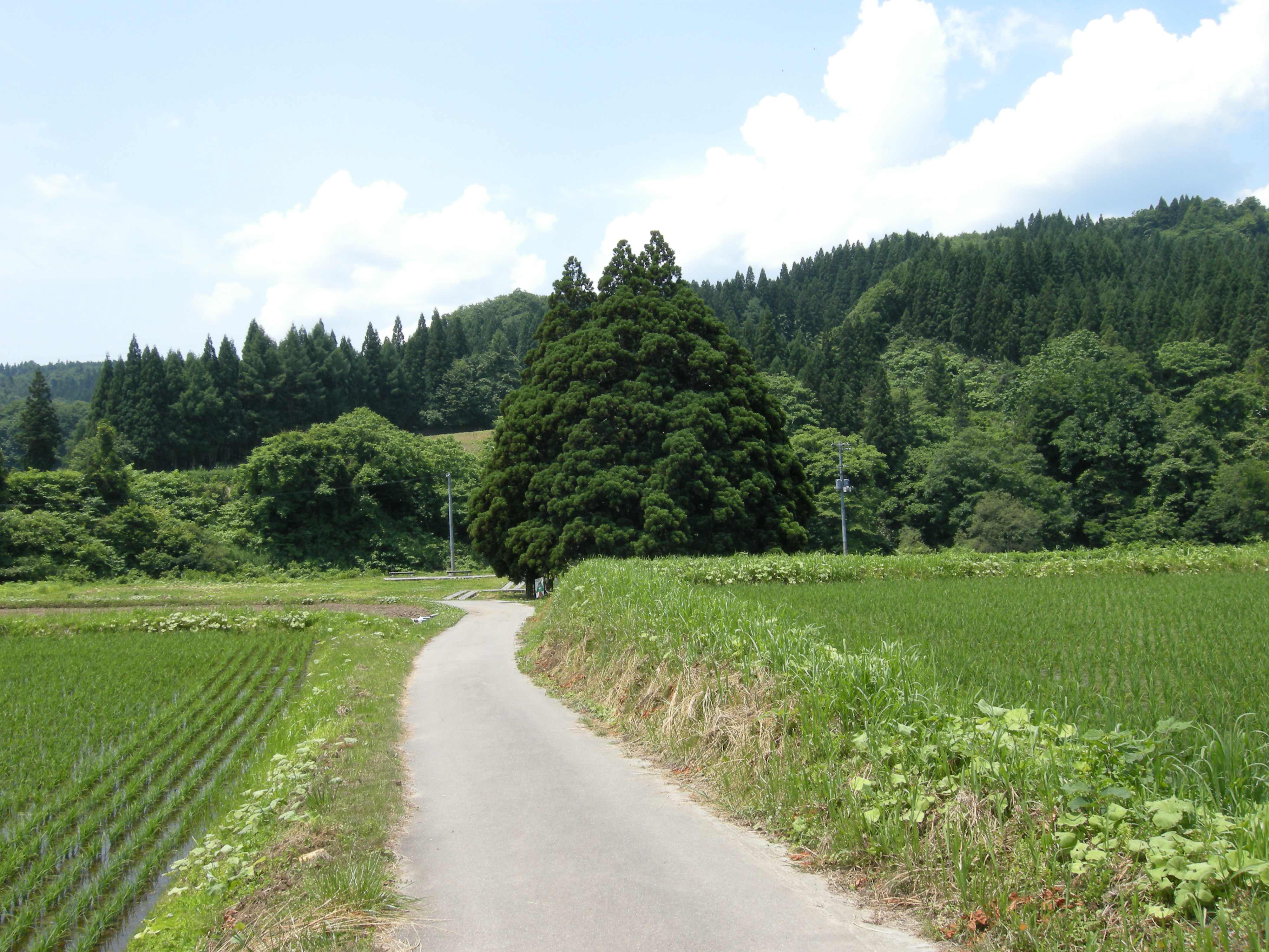
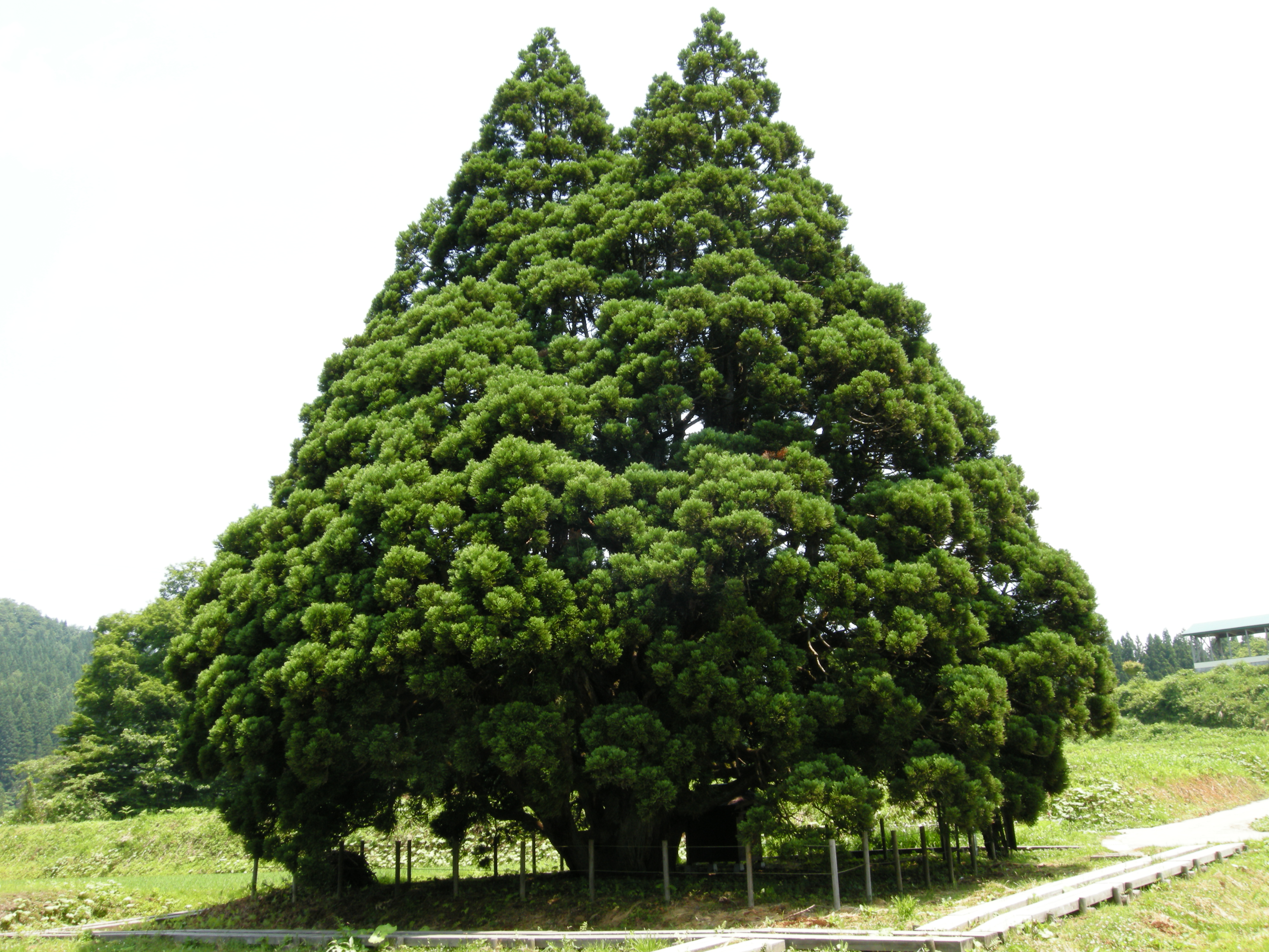
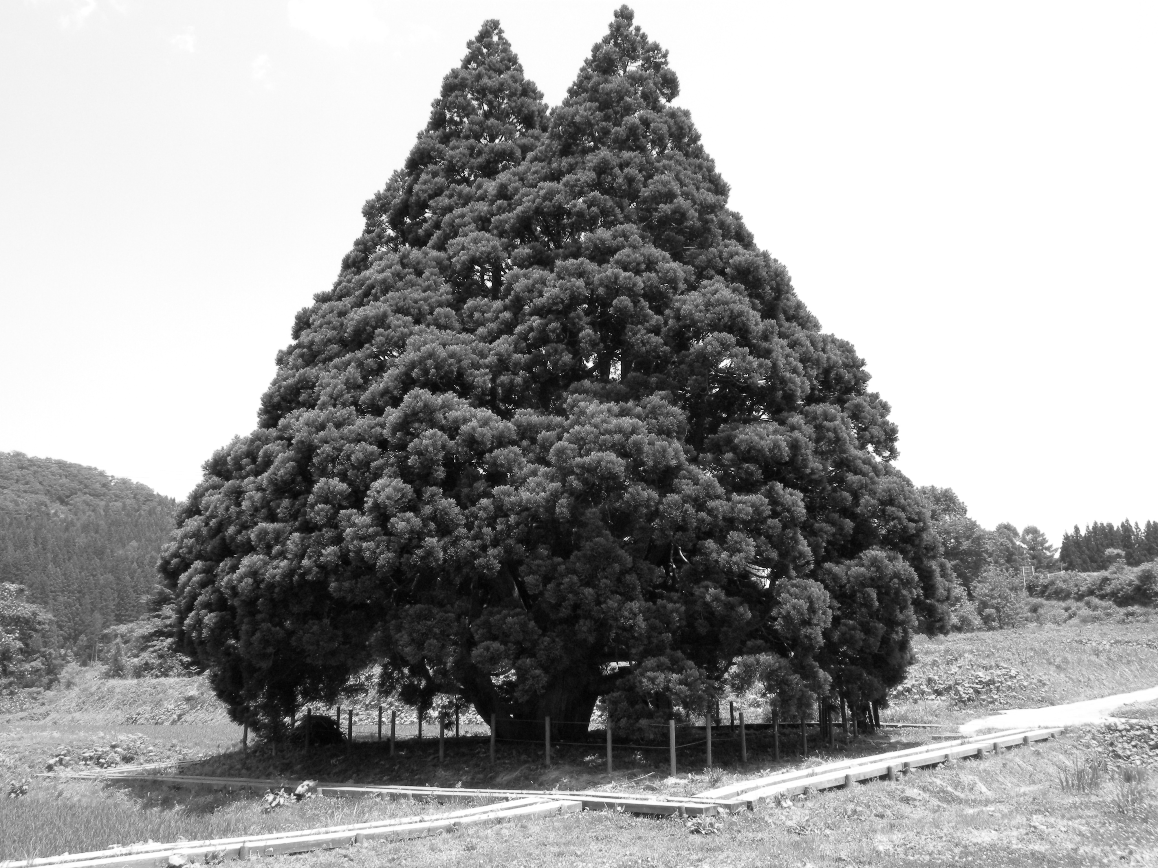
Tree of Totoro
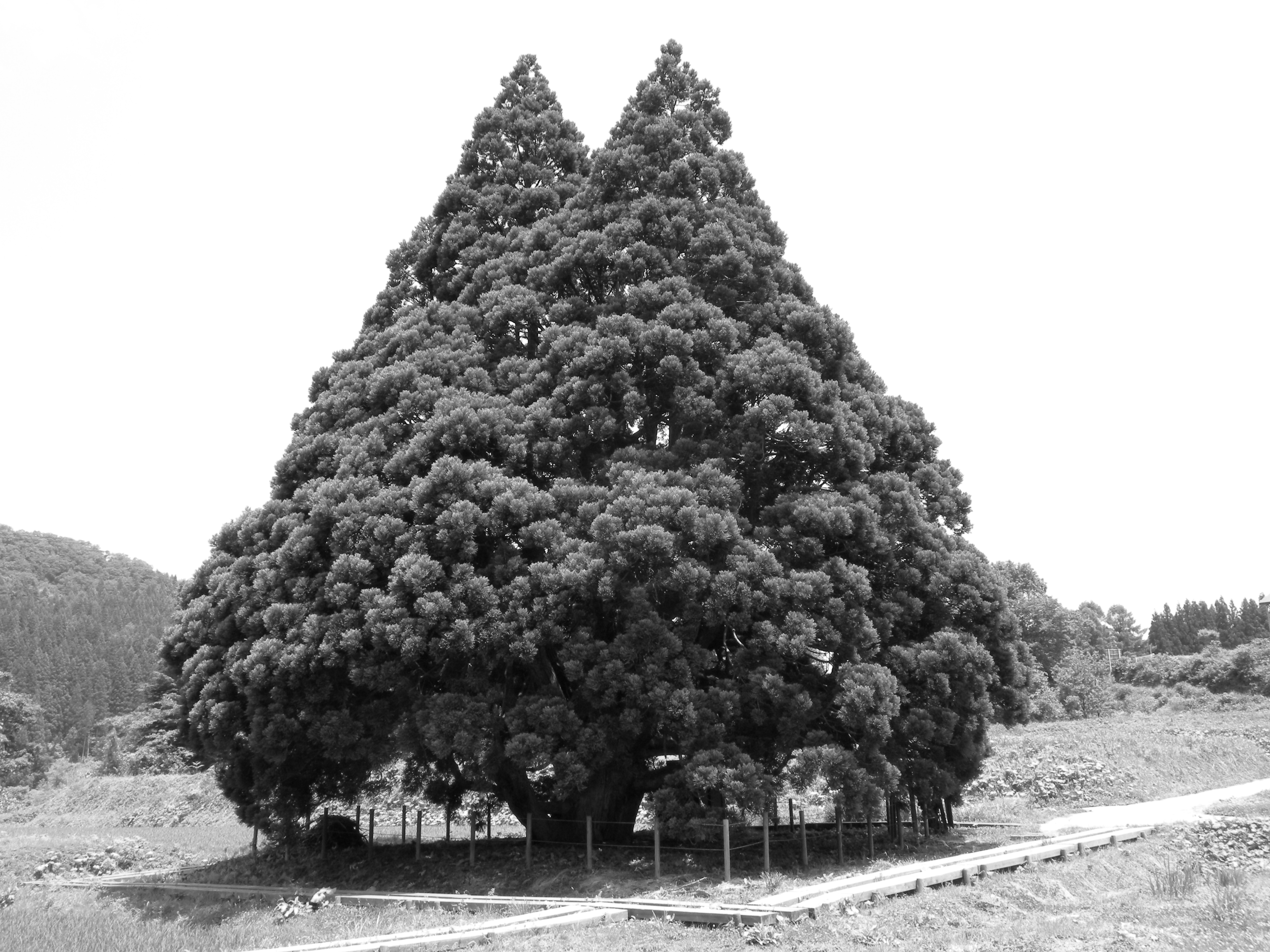
Tree of Totoro
B&W Test (Orange)

最上川兩岸紅葉

DSC_9967.jpg
B&W Test (none)
B&W Test (Red)
肘折
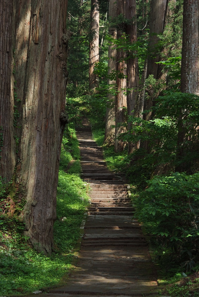
羽黒山参道

Mount Haguro
Mt.Haguro: Tsuruoka, Yamagata
Topographic Map of Tozawa, Mogami District, Yamagata Prefecture, Japan
Find elevation by address:

Places in Tozawa, Mogami District, Yamagata Prefecture, Japan:
Places near Tozawa, Mogami District, Yamagata Prefecture, Japan:
-24 Nadaka, Tozawa-mura, Mogami-gun, Yamagata-ken -, Japan
Sakegawa
Sado, Sakegawa-mura, Mogami-gun, Yamagata-ken -, Japan
Akamatsu, Ōkura-mura, Mogami-gun, Yamagata-ken -, Japan
Kyōzuka, Sakegawa-mura, Mogami-gun, Yamagata-ken -, Japan
Ushinosawa-71 Kimoiri, Shōnai-machi, Higashitagawa-gun, Yamagata-ken -, Japan
Minamiyama, Ōkura-mura, Mogami-gun, Yamagata-ken -, Japan
Sunada-41 Kimoiri, Shōnai-machi, Higashitagawa-gun, Yamagata-ken -, Japan
Shinjo
Mamurogawa
Ōsawa, Mamurogawa-machi, Mogami-gun, Yamagata-ken -, Japan
Injuminami-1-22 Haguromachi Touge, Tsuruoka-shi, Yamagata-ken -, Japan
Funagata
Higashitagawa District
94-19 Funagata, Funagata-machi, Mogami-gun, Yamagata-ken -, Japan
Mogami District
Mount Gassan
Kitamurayama District
Shonai
Nakadai--4 Sagoshi, Sakata-shi, Yamagata-ken -, Japan
Recent Searches:
- Elevation of Congressional Dr, Stevensville, MD, USA
- Elevation of Bellview Rd, McLean, VA, USA
- Elevation of Stage Island Rd, Chatham, MA, USA
- Elevation of Shibuya Scramble Crossing, 21 Udagawacho, Shibuya City, Tokyo -, Japan
- Elevation of Jadagoniai, Kaunas District Municipality, Lithuania
- Elevation of Pagonija rock, Kranto 7-oji g. 8"N, Kaunas, Lithuania
- Elevation of Co Rd 87, Jamestown, CO, USA
- Elevation of Tenjo, Cundinamarca, Colombia
- Elevation of Côte-des-Neiges, Montreal, QC H4A 3J6, Canada
- Elevation of Bobcat Dr, Helena, MT, USA