Elevation of Kitamurayama District, Yamagata Prefecture, Japan
Location: Japan > Yamagata Prefecture >
Longitude: 140.332
Latitude: 38.604
Elevation: 168m / 551feet
Barometric Pressure: 99KPa
Elevation Map:
Satellite Map:
Related Photos:
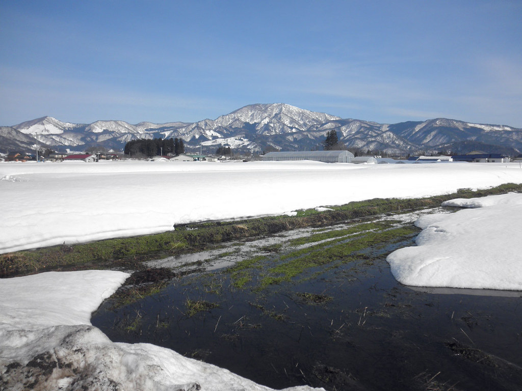
the rhythm of snow melt is footsteps of spring.
Do you know where you are born a star?

Mogamigawa River
尾花沢

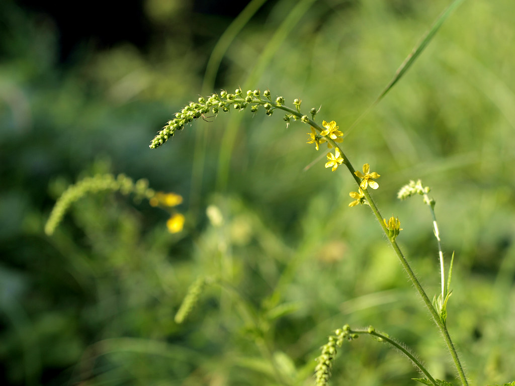
向日葵 Sunflower
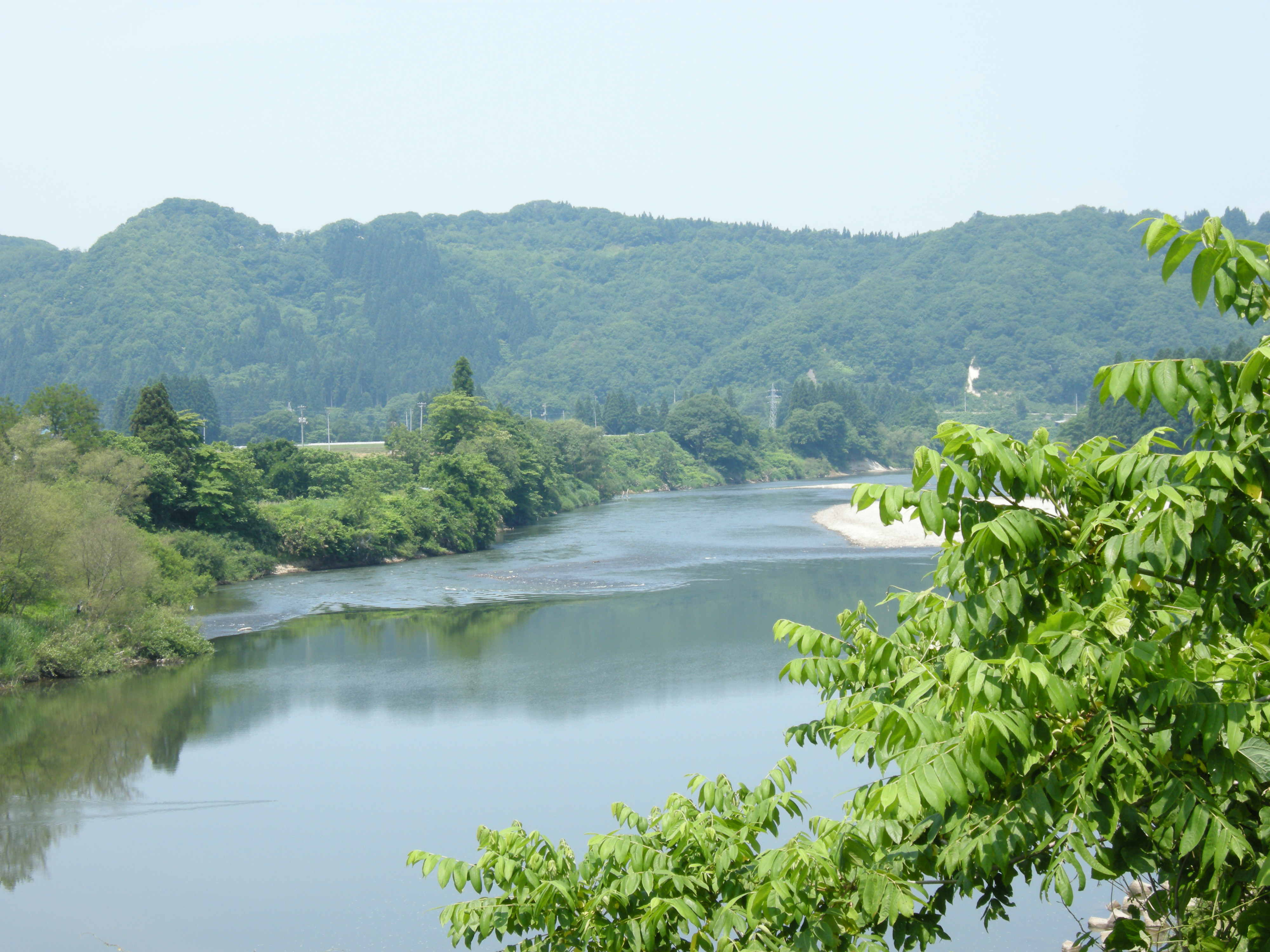
Mogami river
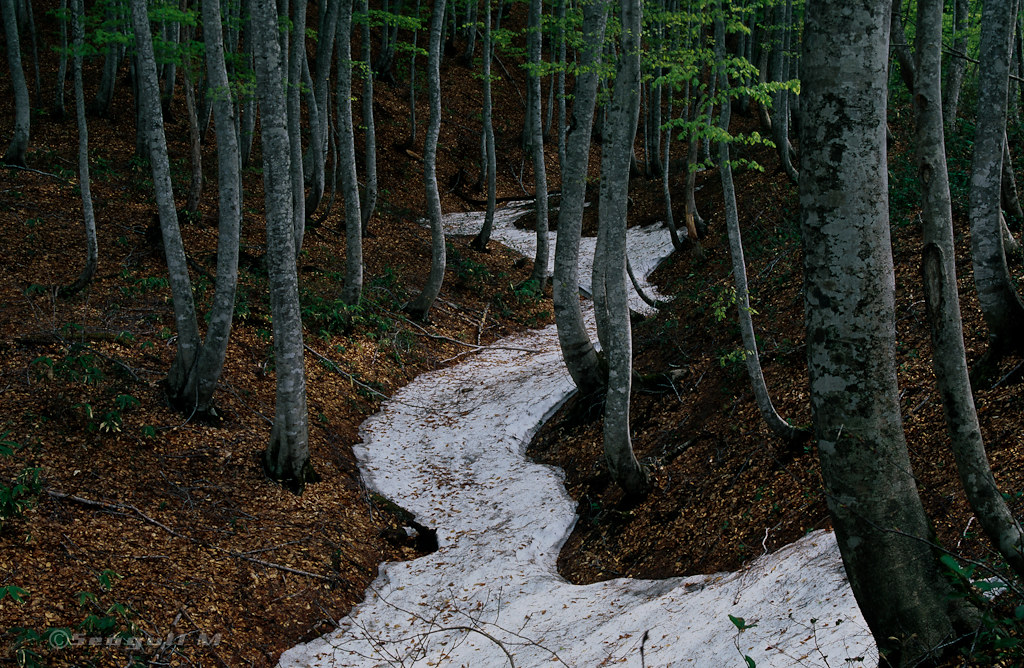
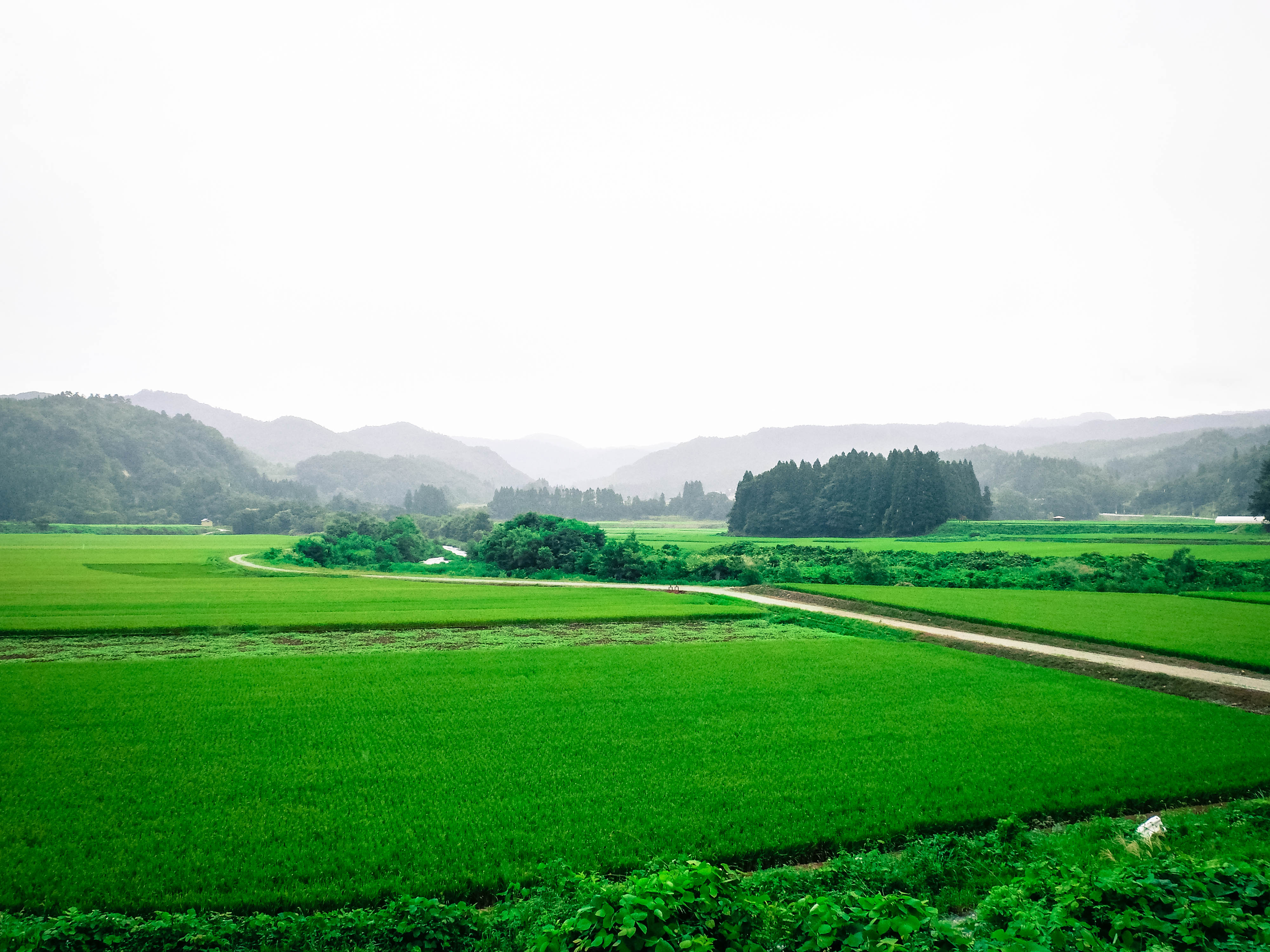
春への道 / Road to spring
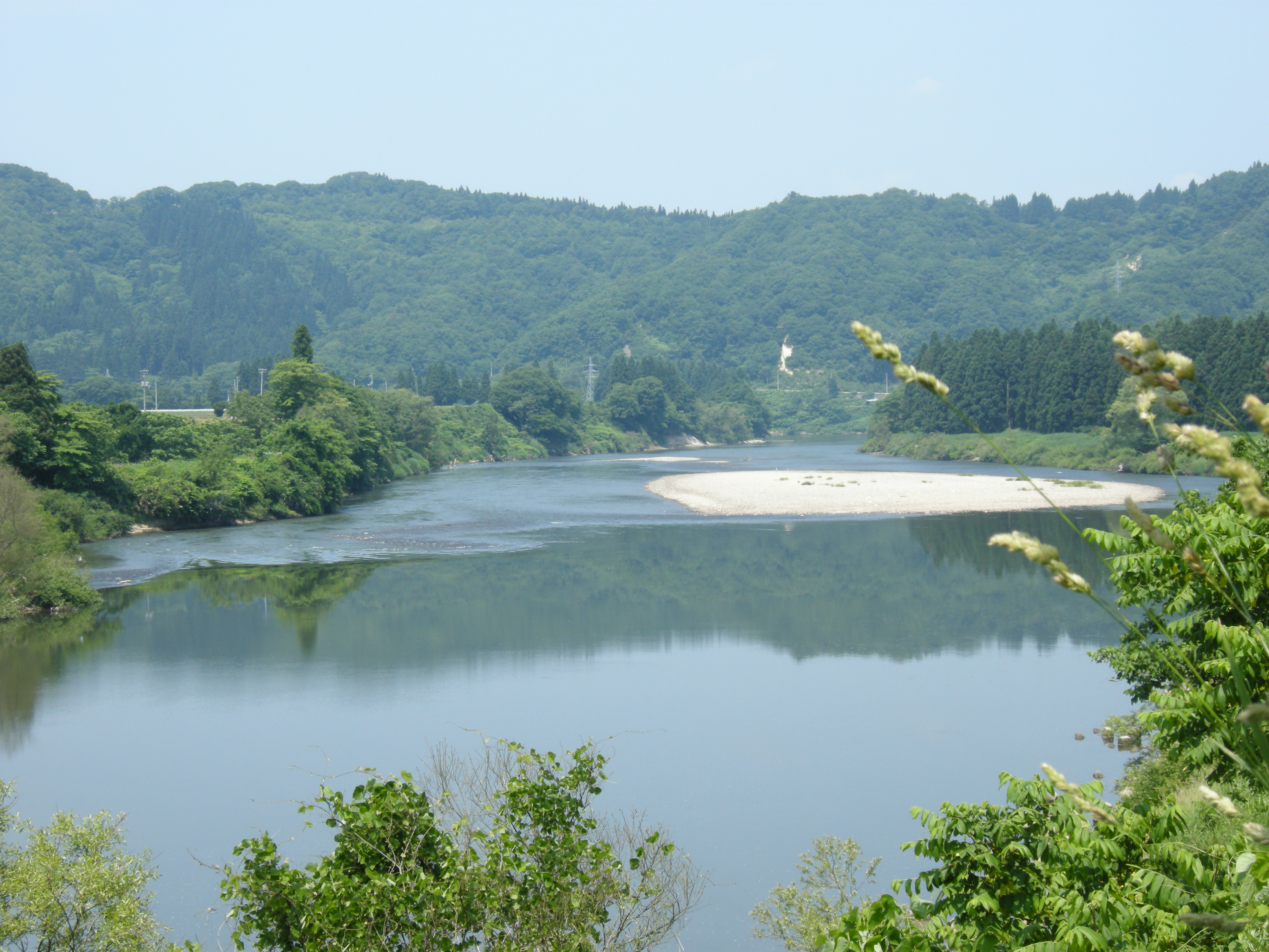
Mogami river
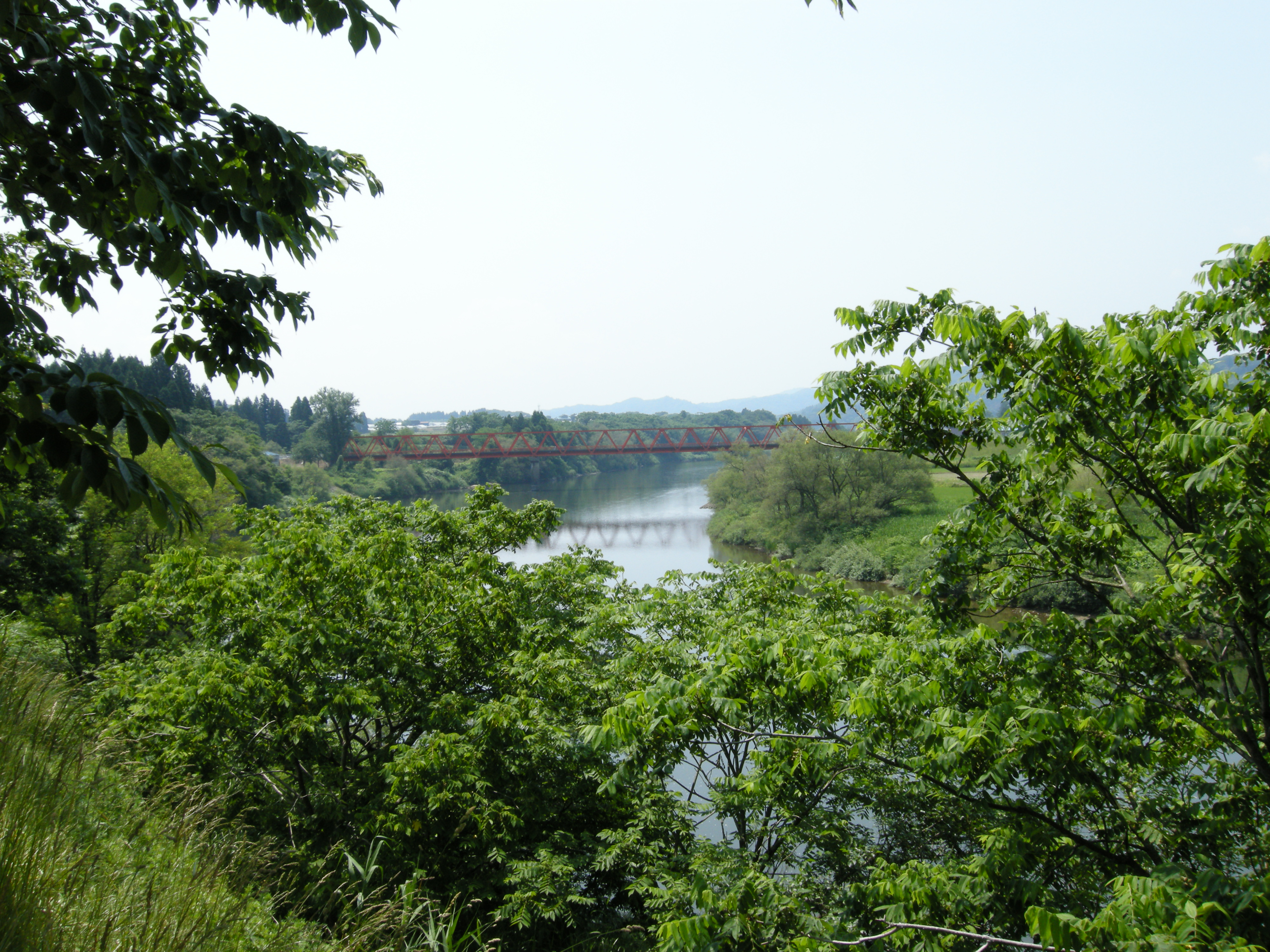
Mogami river
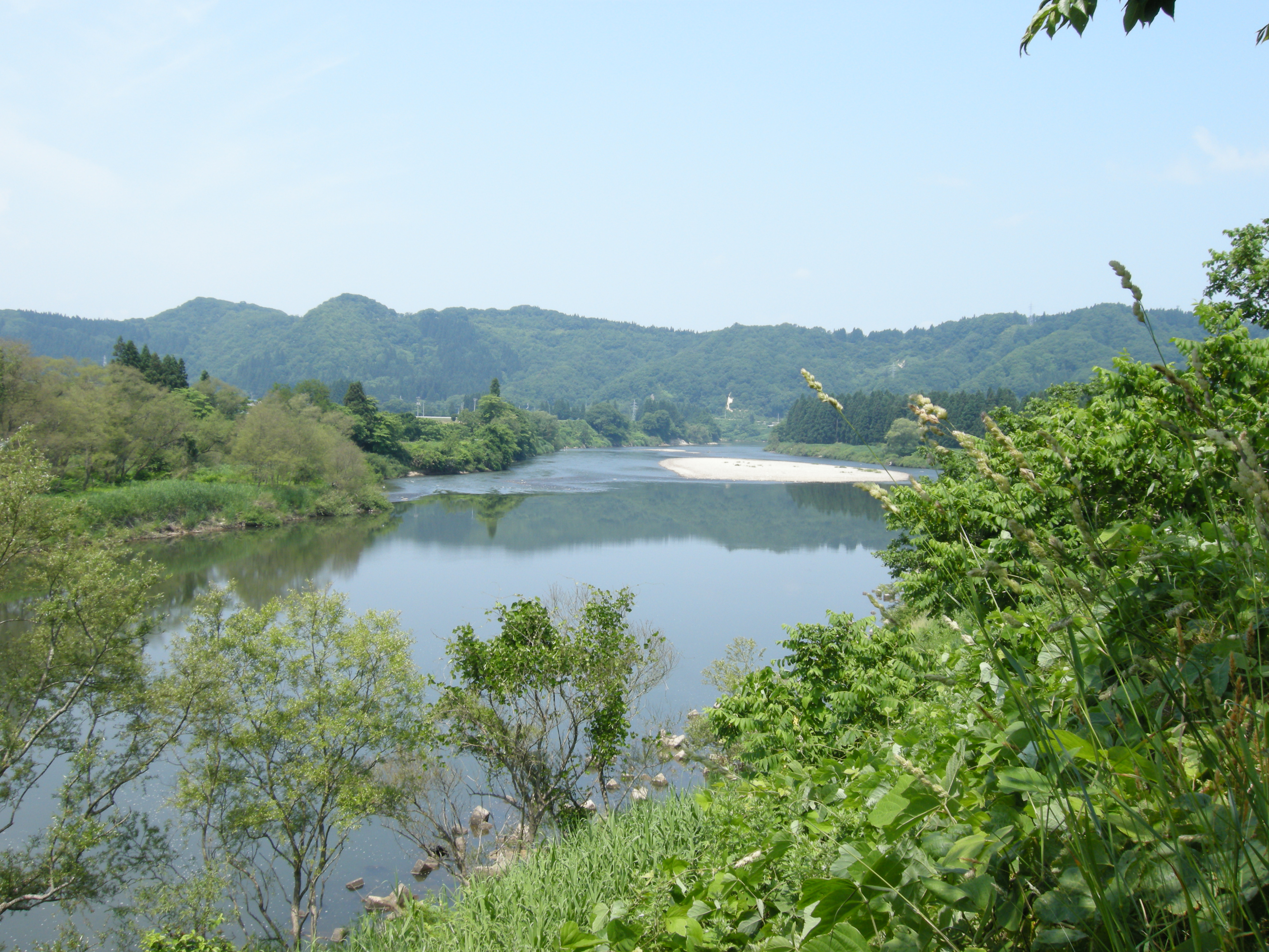
Mogami river
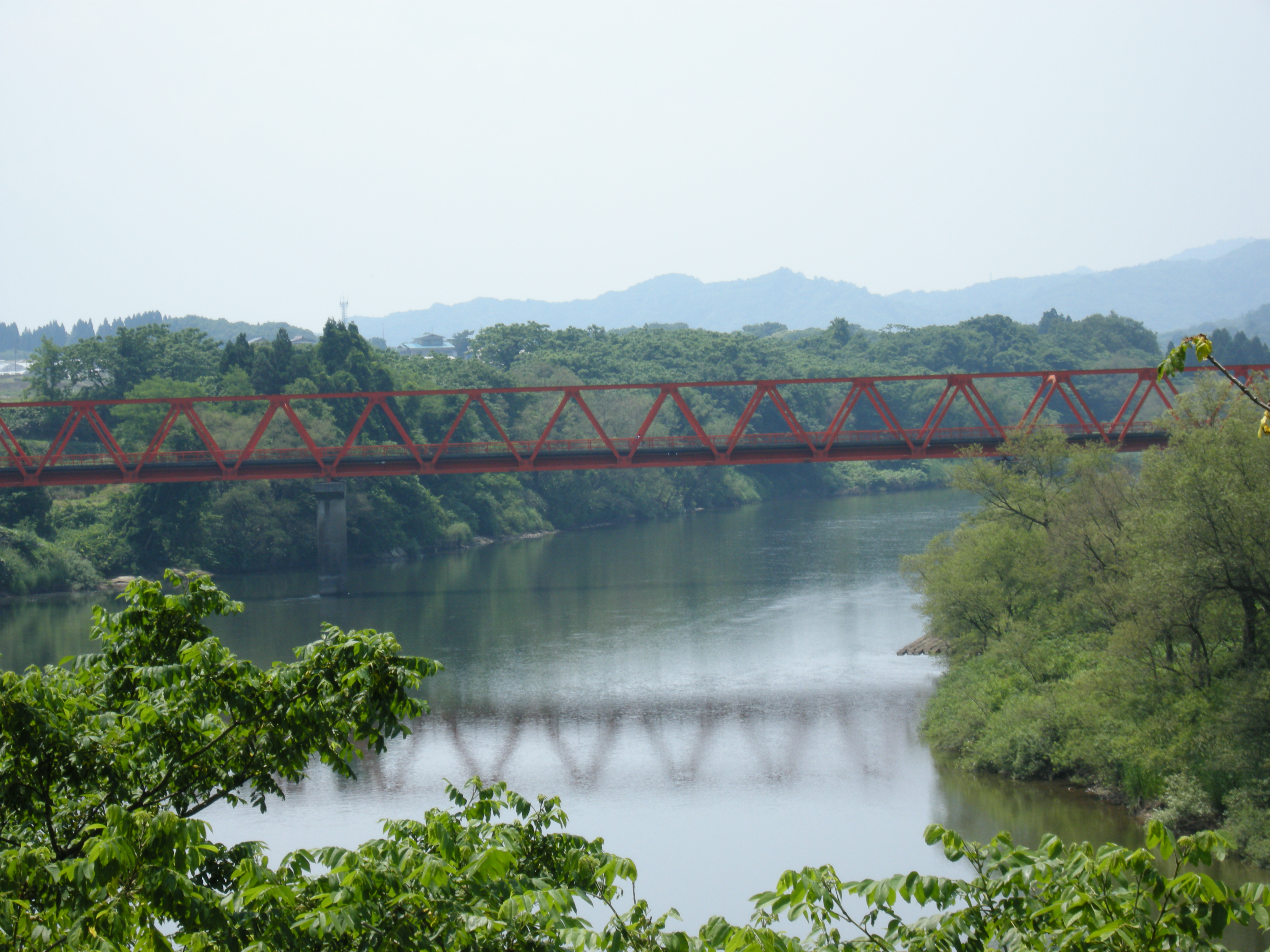
Mogami river
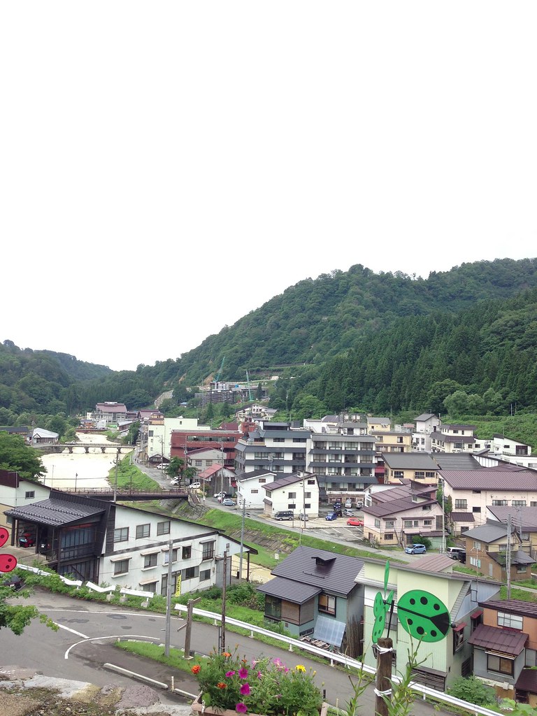
肘折
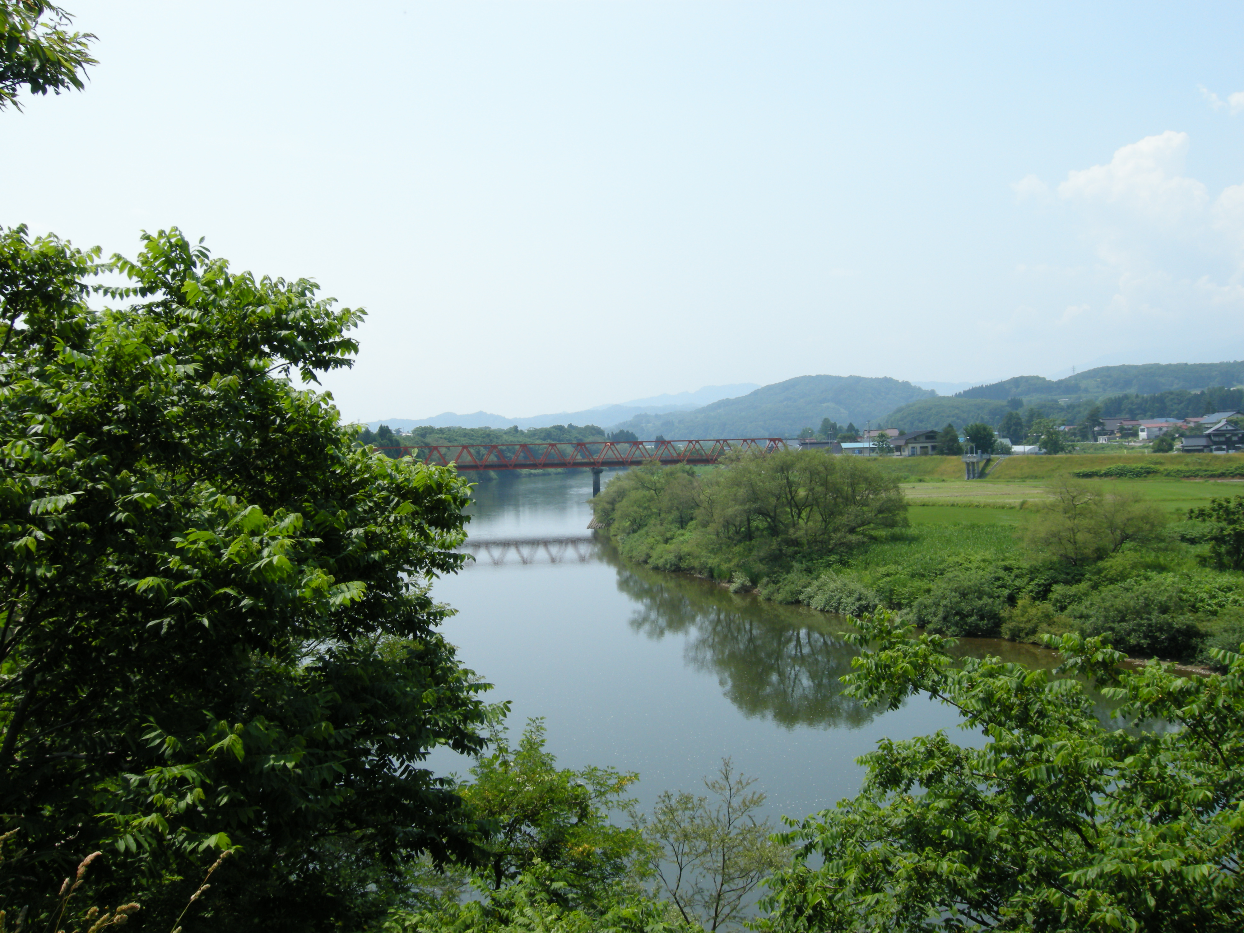
Mogami river
Topographic Map of Kitamurayama District, Yamagata Prefecture, Japan
Find elevation by address:

Places in Kitamurayama District, Yamagata Prefecture, Japan:
Places near Kitamurayama District, Yamagata Prefecture, Japan:
Oishida
Yokoyama, Ōishida-machi, Kitamurayama-gun, Yamagata-ken -, Japan
Tazawa, Ōishida-machi, Kitamurayama-gun, Yamagata-ken -, Japan
Obanazawa
Shirotori, Murayama-shi, Yamagata-ken -, Japan
Terauchi, Obanazawa-shi, Yamagata-ken -, Japan
八鍬酒店
Funagata
94-19 Funagata, Funagata-machi, Mogami-gun, Yamagata-ken -, Japan
Obanazawa, Obanazawa-shi, Yamagata-ken -, Japan
Akamatsu, Ōkura-mura, Mogami-gun, Yamagata-ken -, Japan
Minamiyama, Ōkura-mura, Mogami-gun, Yamagata-ken -, Japan
Murayama
Shinjo
Kahoku
1 Chome-12-2 Honmaruminami, Higashine-shi, Yamagata-ken -, Japan
Yoshiwara- Mizonobe, Kahoku-chō, Nishimurayama-gun, Yamagata-ken -, Japan
Ginzan Onsen Tourist Information Center
Tomeba, Sagae-shi, Yamagata-ken -, Japan
Ginzanshinhata
Recent Searches:
- Elevation of Leyte Industrial Development Estate, Isabel, Leyte, Philippines
- Elevation of W Granada St, Tampa, FL, USA
- Elevation of Pykes Down, Ivybridge PL21 0BY, UK
- Elevation of Jalan Senandin, Lutong, Miri, Sarawak, Malaysia
- Elevation of Bilohirs'k
- Elevation of 30 Oak Lawn Dr, Barkhamsted, CT, USA
- Elevation of Luther Road, Luther Rd, Auburn, CA, USA
- Elevation of Unnamed Road, Respublika Severnaya Osetiya — Alaniya, Russia
- Elevation of Verkhny Fiagdon, North Ossetia–Alania Republic, Russia
- Elevation of F. Viola Hiway, San Rafael, Bulacan, Philippines