Elevation of Townsend, GA, USA
Location: United States > Georgia > Mcintosh County >
Longitude: -81.523004
Latitude: 31.5413343
Elevation: 7m / 23feet
Barometric Pressure: 101KPa
Elevation Map:
Satellite Map:
Related Photos:
The view from the deck
I love nature

Nature is Splendid
Smelling the trees
Stopped for chocalate milk and pictures
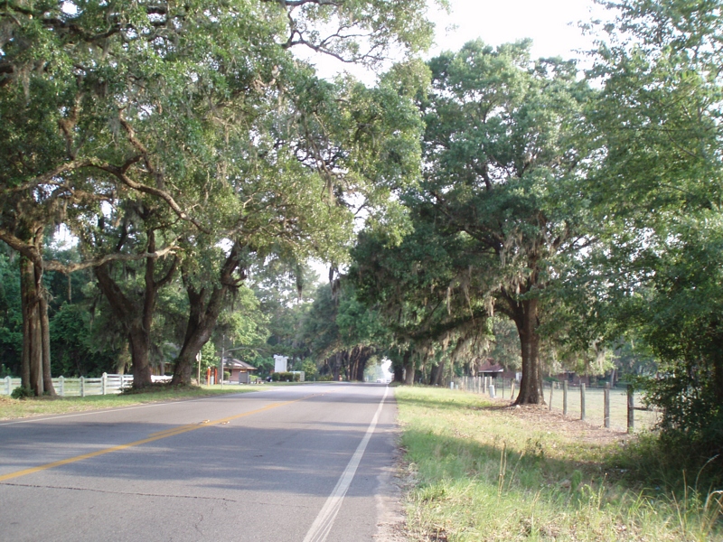
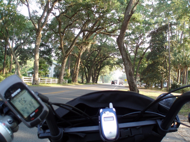
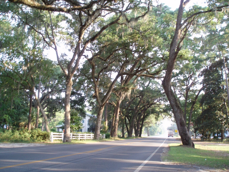
Beautiful oak trees, with moss
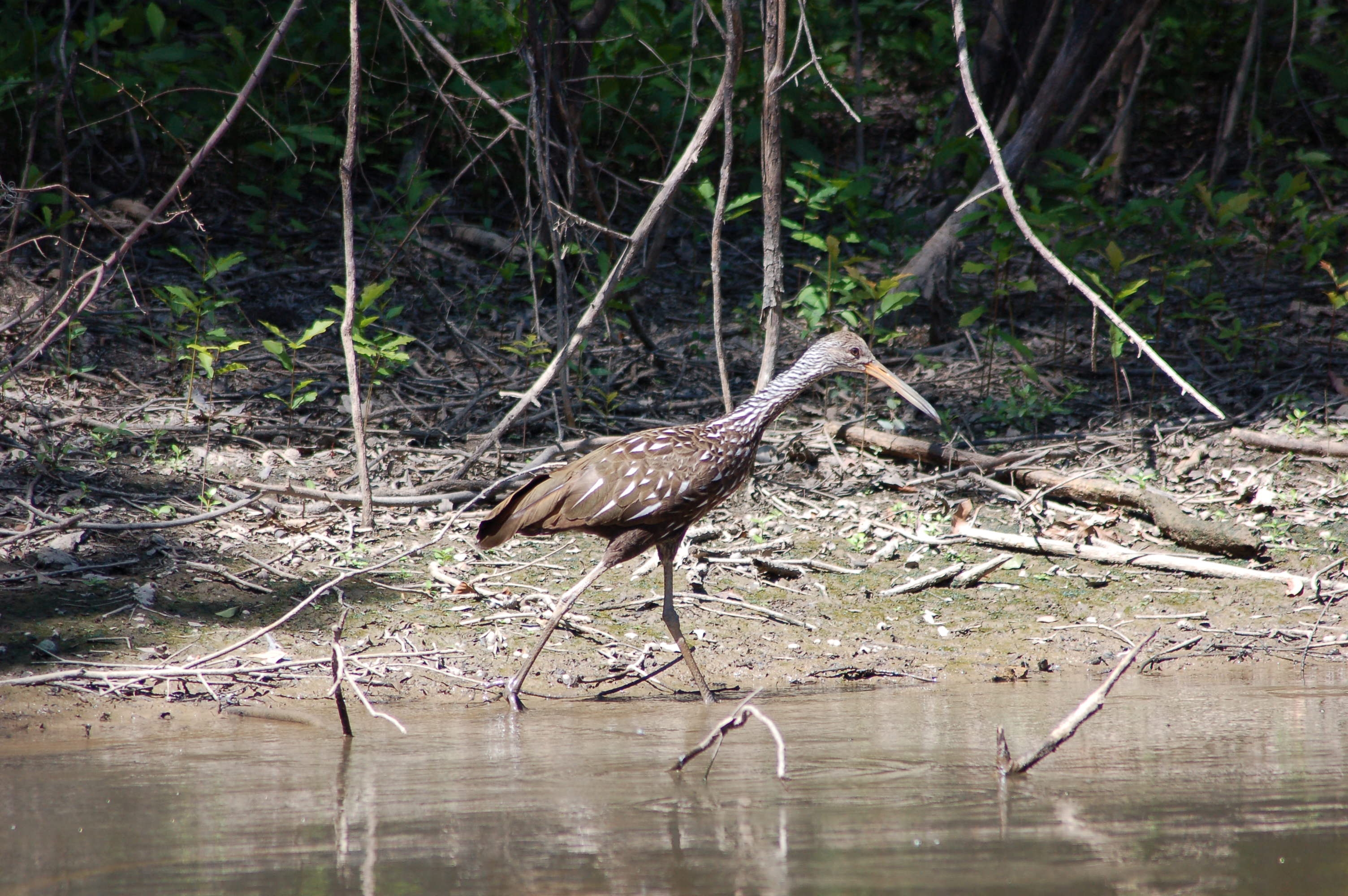
Limpkin. Alex Creek, Wayne County, 13 July 2006. Photo by Mark Hughes
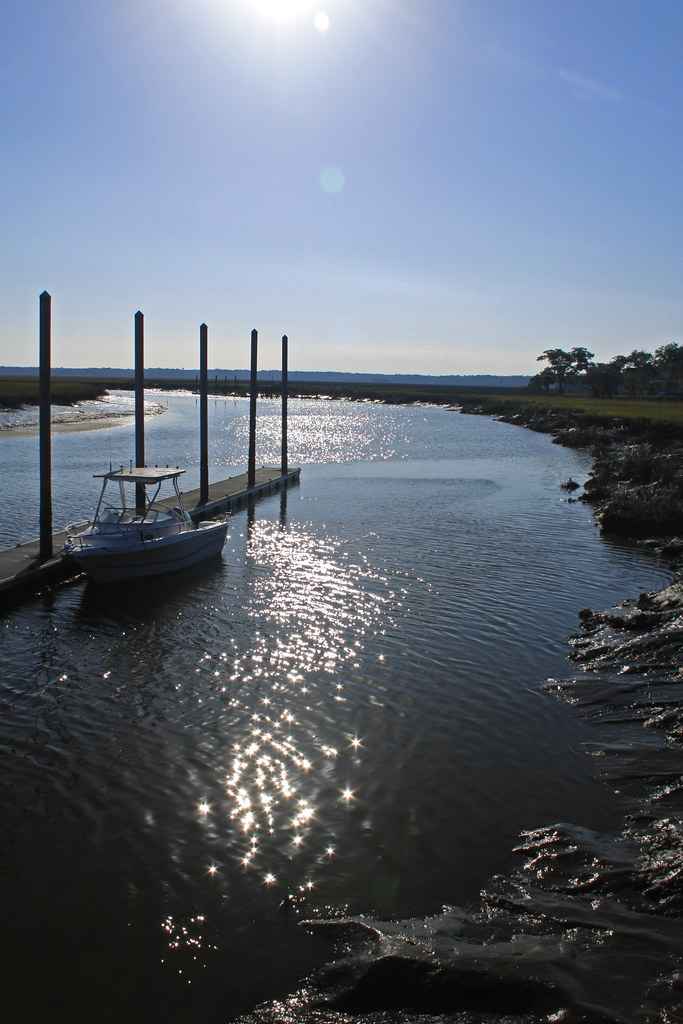
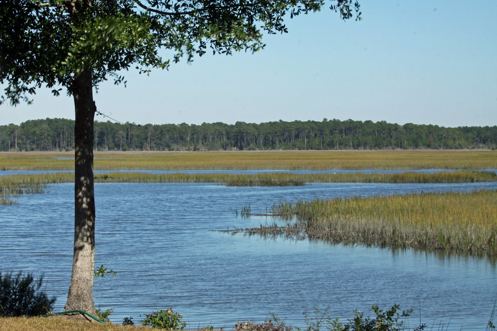
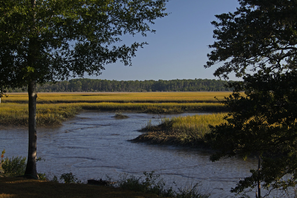
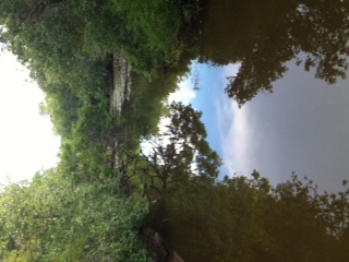
Sapelo River
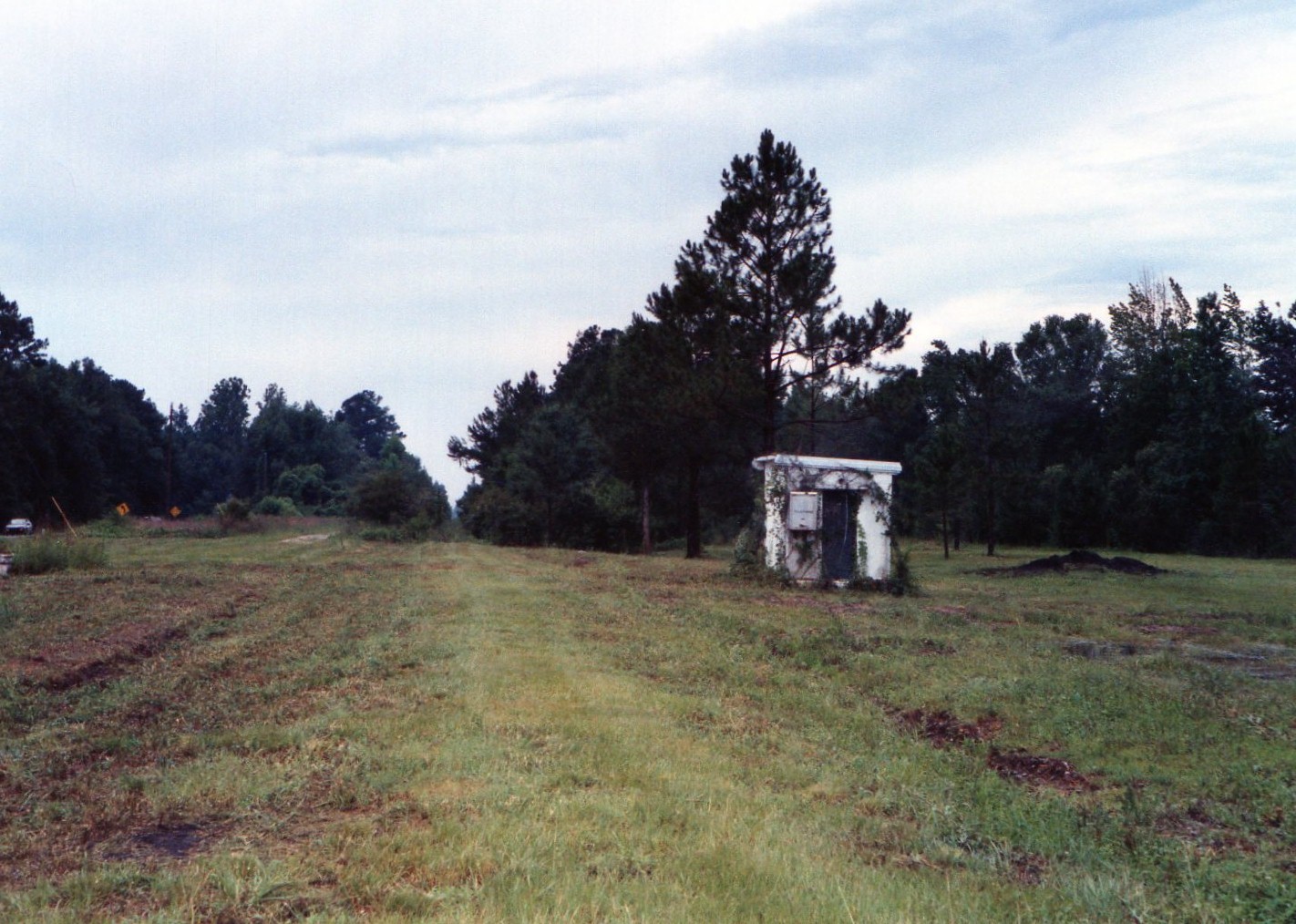
Former SAL mainline at Townend, Georgia....abandoned, looking south 1997
Low tide out the back door

South Georgia Sunsets
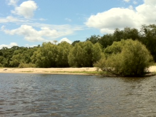
Gorgeous beaches
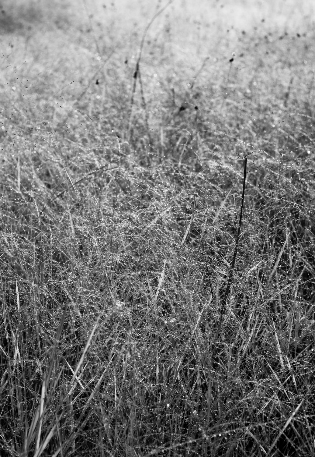
Fairy of the Crystal Field
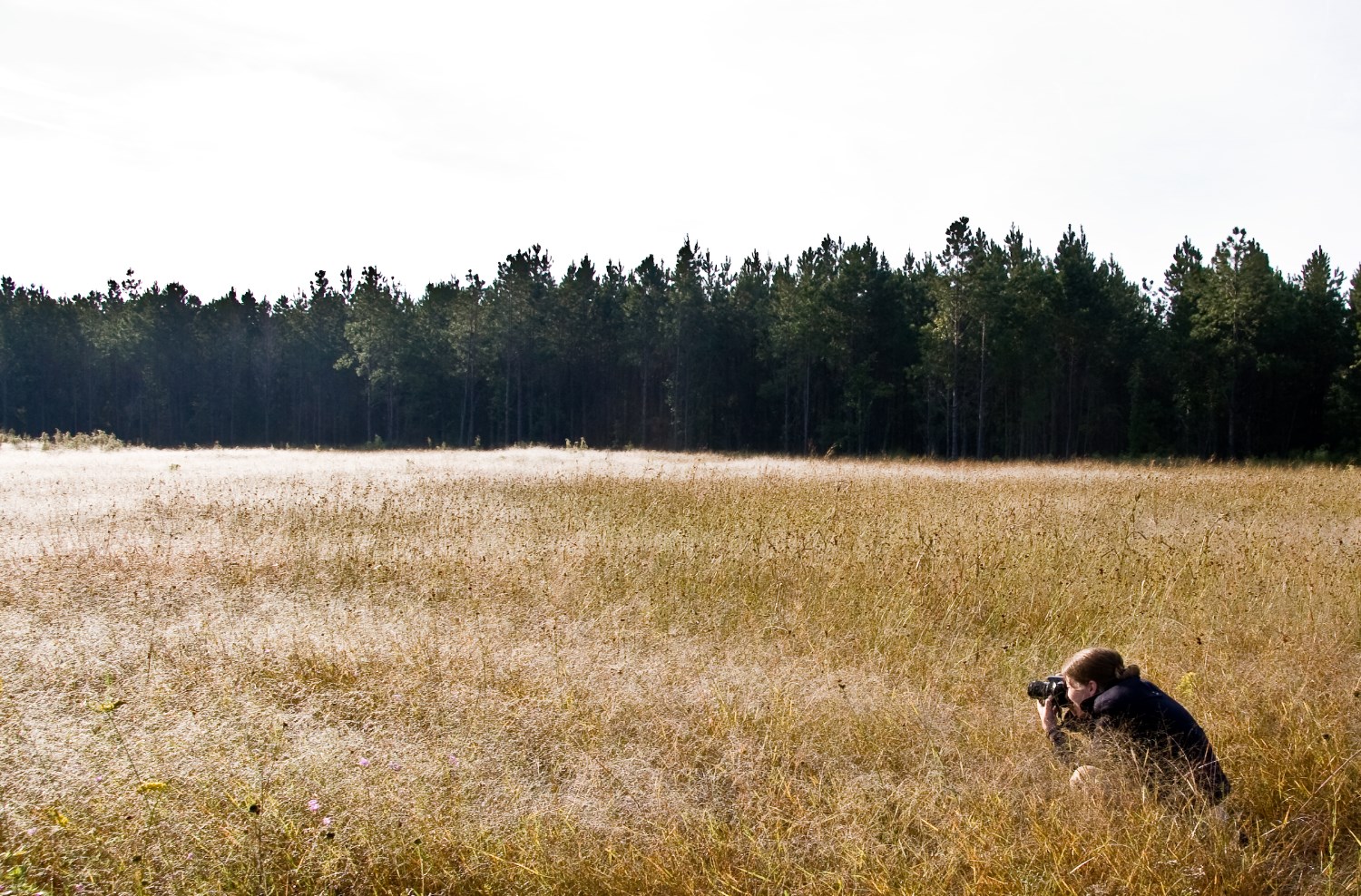
The Jewel Field
ARP interpretive trail
Resting.
Topographic Map of Townsend, GA, USA
Find elevation by address:

Places in Townsend, GA, USA:
Sutherland Rd, Townsend, GA, USA
White Bluff Rd, Townsend, GA, USA
Patterson Rd, Townsend, GA, USA
Faith Ave, Townsend, GA, USA
Sutherland Rd, Townsend, GA, USA
Townsend, GA, USA
Possum Point Rd, Townsend, GA, USA
Credit Hill Rd, Townsend, GA, USA
Ridge Rd, Townsend, GA, USA
Fisherman's Lodge Rd, Townsend, GA, USA
Cox Road Southwest
Hilltop Lane Northeast
River Road
Island Drive Northeast
Places near Townsend, GA, USA:
Townsend
Townsend
Townsend
Townsend
Townsend
Townsend
Townsend
Townsend
Townsend
Townsend
Townsend
Townsend
Townsend
Rowe Turner Road
Credit Hill Rd, Townsend, GA, USA
Churchill Road
15681 Us-17
Jones Rd, Riceboro, GA, USA
2032 Ga-99
1366 Forest Island Drive
Recent Searches:
- Elevation of Corso Fratelli Cairoli, 35, Macerata MC, Italy
- Elevation of Tallevast Rd, Sarasota, FL, USA
- Elevation of 4th St E, Sonoma, CA, USA
- Elevation of Black Hollow Rd, Pennsdale, PA, USA
- Elevation of Oakland Ave, Williamsport, PA, USA
- Elevation of Pedrógão Grande, Portugal
- Elevation of Klee Dr, Martinsburg, WV, USA
- Elevation of Via Roma, Pieranica CR, Italy
- Elevation of Tavkvetili Mountain, Georgia
- Elevation of Hartfords Bluff Cir, Mt Pleasant, SC, USA