Elevation of GA-99, Townsend, GA, USA
Location: United States > Georgia > Mcintosh County > Townsend >
Longitude: -81.416204
Latitude: 31.5169384
Elevation: 5m / 16feet
Barometric Pressure: 101KPa
Elevation Map:
Satellite Map:
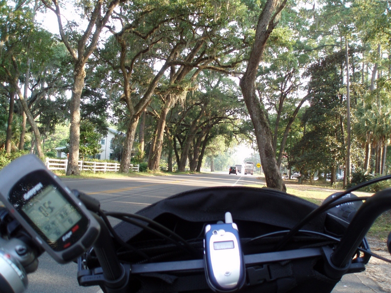
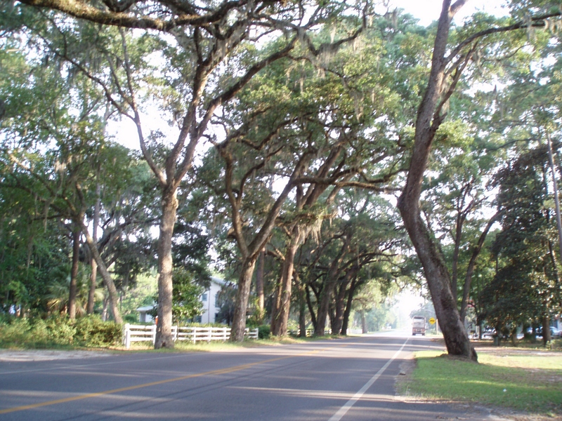
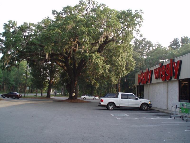
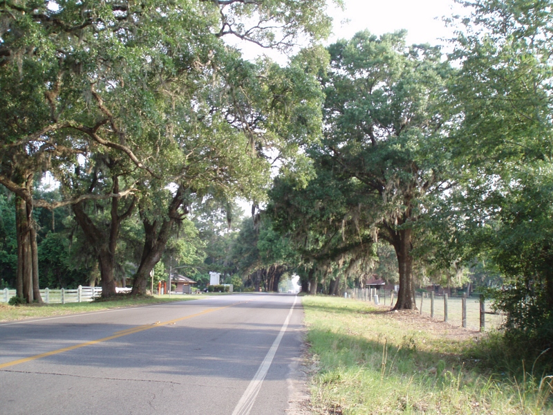
Related Photos:
The view from the deck
Sapelo Island View
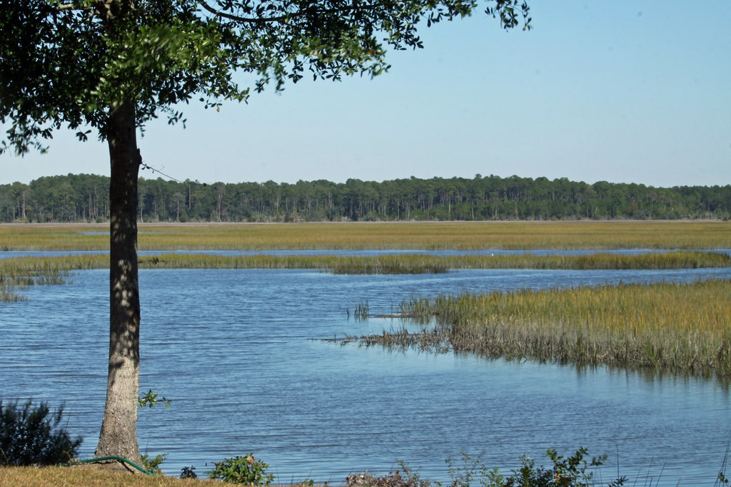
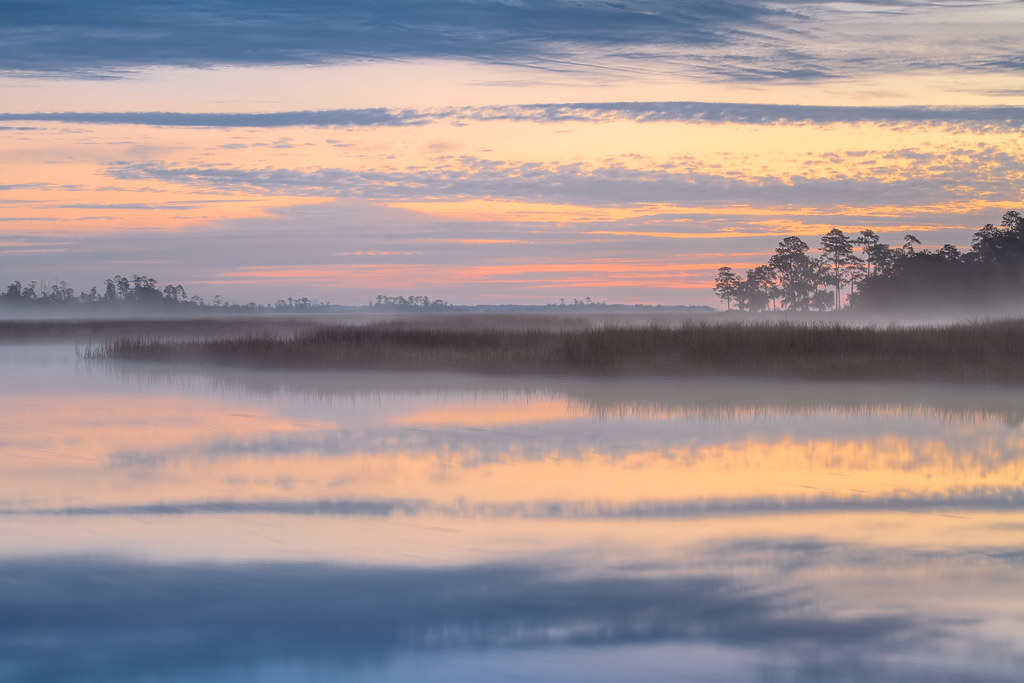
Tolomato Marsh
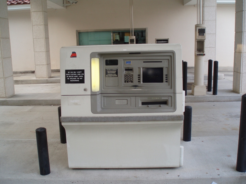
The ATM that would not honor my Bank of America Debit Card--Shucks!
I love nature

Nature is Splendid
Smelling the trees
Stopped for chocalate milk and pictures
Beautiful oak trees, with moss
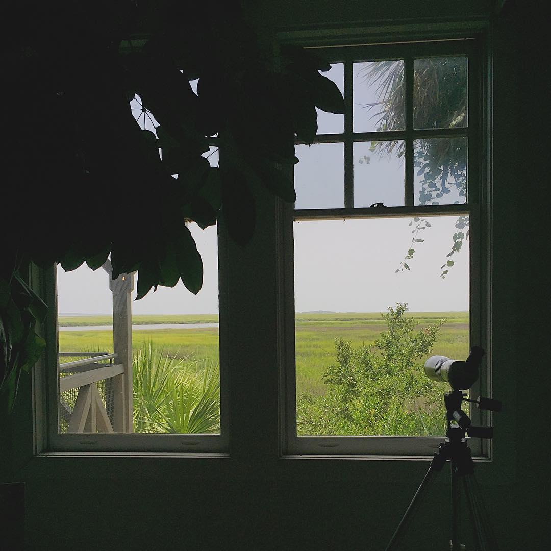
Framed view
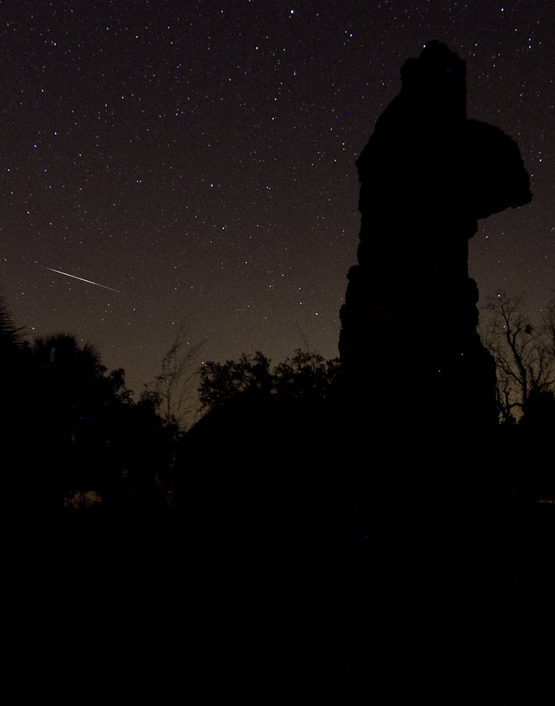
Meteor streaking across the sky
Sapelo - 13.jpg
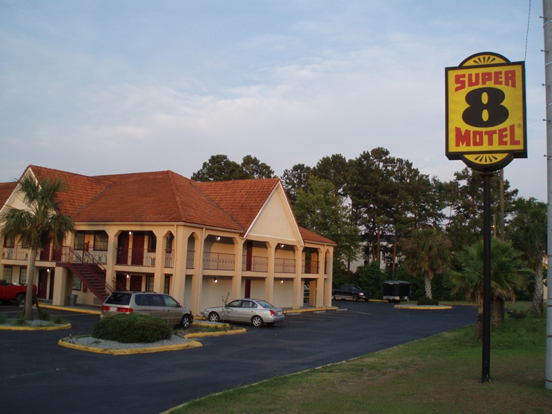
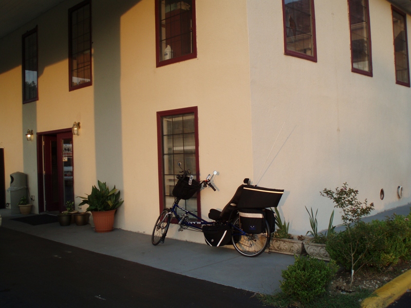
Super 8 Motel

Super 8 Motel
Today's destination [Mark's in our room already]
Coming of Morning

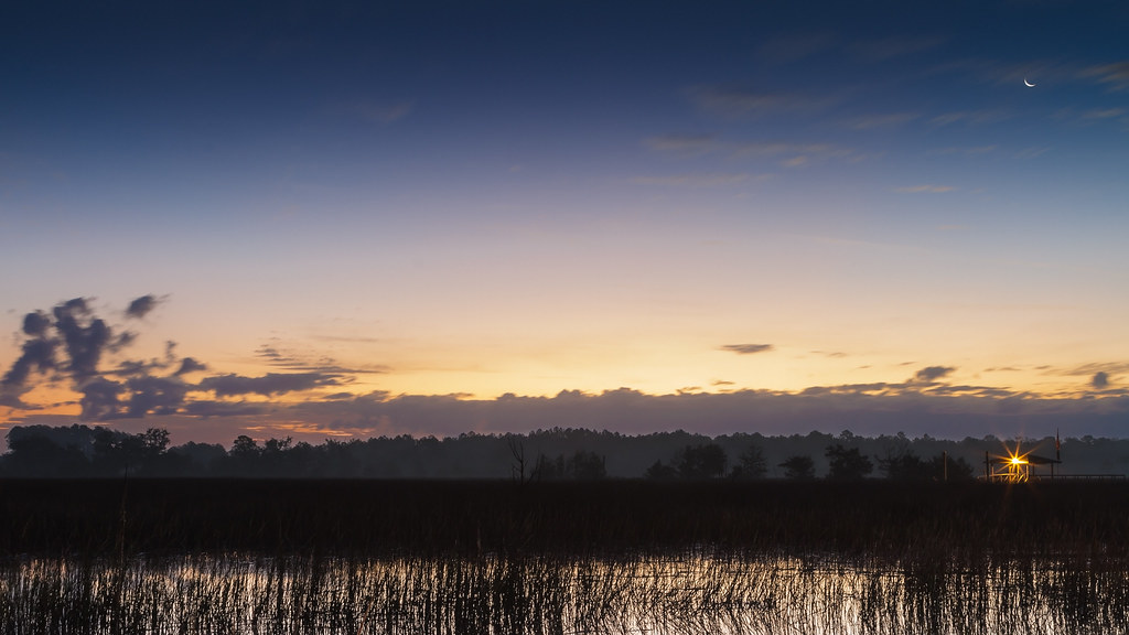
Dawn on the Marsh

Going Home
Winter Reflection

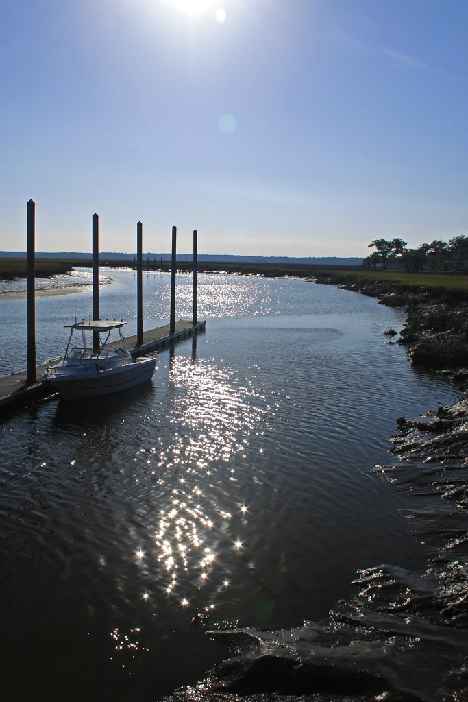
Doboy Sound

the weekend...
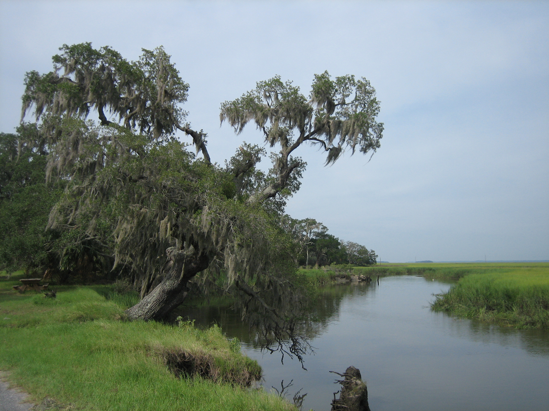
Sapelo River

Shellman Bluff, GA
Former SAL mainline at Townend, Georgia....abandoned, looking south 1997
Low tide out the back door

Fog on the Marsh

South Georgia Sunsets
Darian Marsh Pano
Fairy of the Crystal Field
The Jewel Field

Free flowing
Darien here we come!
Our dinghy at the ferry dock.
Sunburst sunset over the water

LIR: Sapelo Island
Topographic Map of GA-99, Townsend, GA, USA
Find elevation by address:

Places near GA-99, Townsend, GA, USA:
1366 Forest Island Drive
15681 Us-17
Townsend, GA, USA
Faith Ave, Townsend, GA, USA
1147 Merchant Ln Se
1147 Merchant Ln Se
Ridge Rd, Townsend, GA, USA
1097 Halyard Way
Hilltop Lane Northeast
White Bluff Rd, Townsend, GA, USA
Mcintosh County
Mcintosh County
Mcintosh County
Mcintosh County
Mcintosh County
Mcintosh County
Mcintosh County
Mcintosh County
Mcintosh County
Mcintosh County
Recent Searches:
- Elevation of Gateway Blvd SE, Canton, OH, USA
- Elevation of East W.T. Harris Boulevard, E W.T. Harris Blvd, Charlotte, NC, USA
- Elevation of West Sugar Creek, Charlotte, NC, USA
- Elevation of Wayland, NY, USA
- Elevation of Steadfast Ct, Daphne, AL, USA
- Elevation of Lagasgasan, X+CQH, Tiaong, Quezon, Philippines
- Elevation of Rojo Ct, Atascadero, CA, USA
- Elevation of Flagstaff Drive, Flagstaff Dr, North Carolina, USA
- Elevation of Avery Ln, Lakeland, FL, USA
- Elevation of Woolwine, VA, USA