Elevation of Town Of Faro, Campbell St, Faro, YT Y0B 1K0, Canada
Location: Canada > Yukon Territory > Yukon > Faro >
Longitude: -133.35434
Latitude: 62.2282265
Elevation: 709m / 2326feet
Barometric Pressure: 93KPa
Elevation Map:
Satellite Map:
Related Photos:
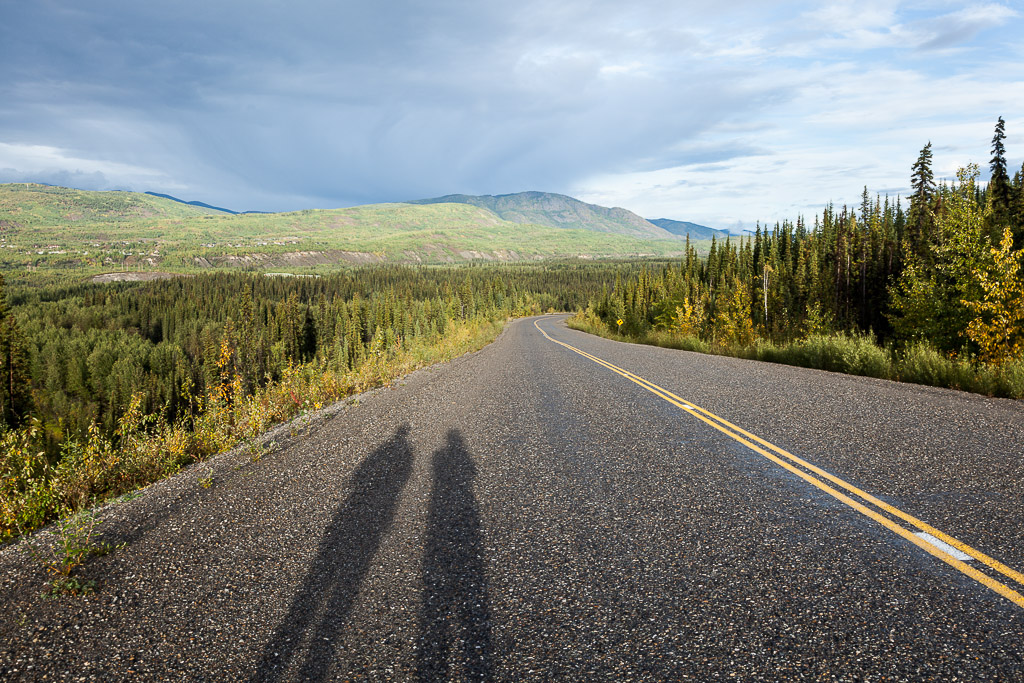
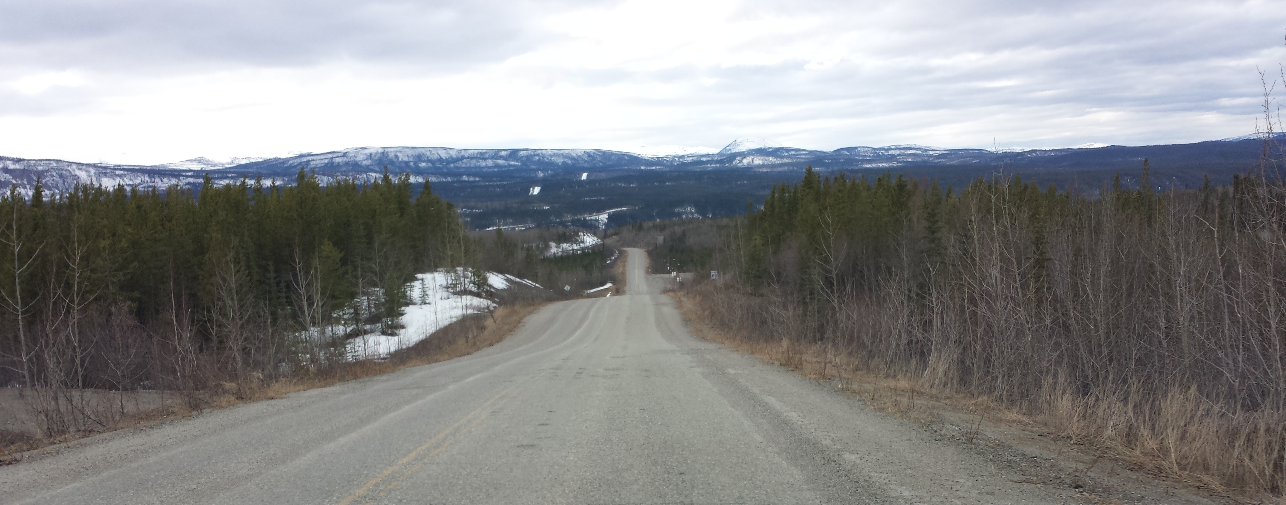
Road to Faro
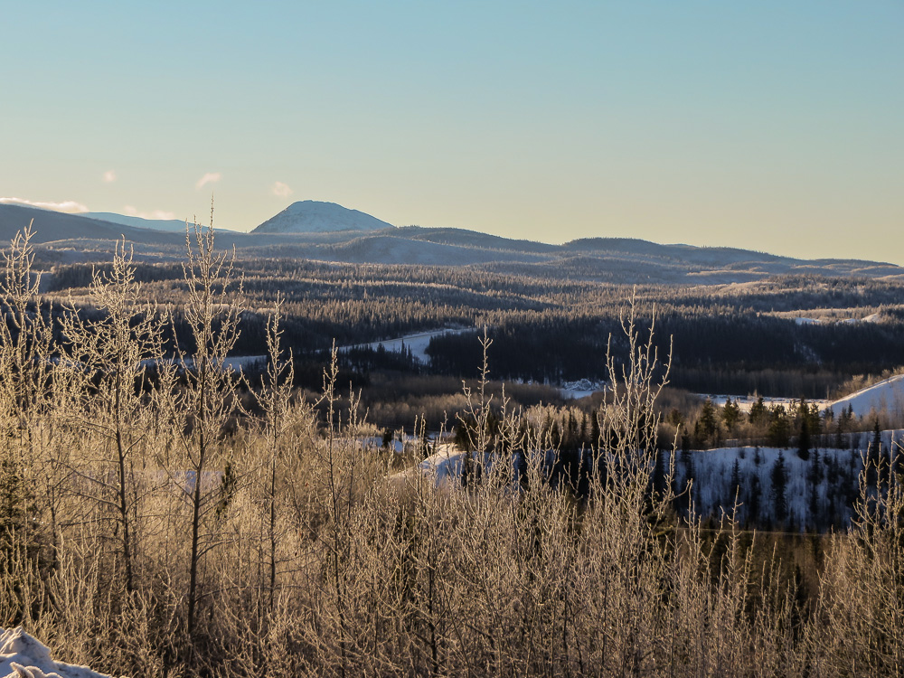
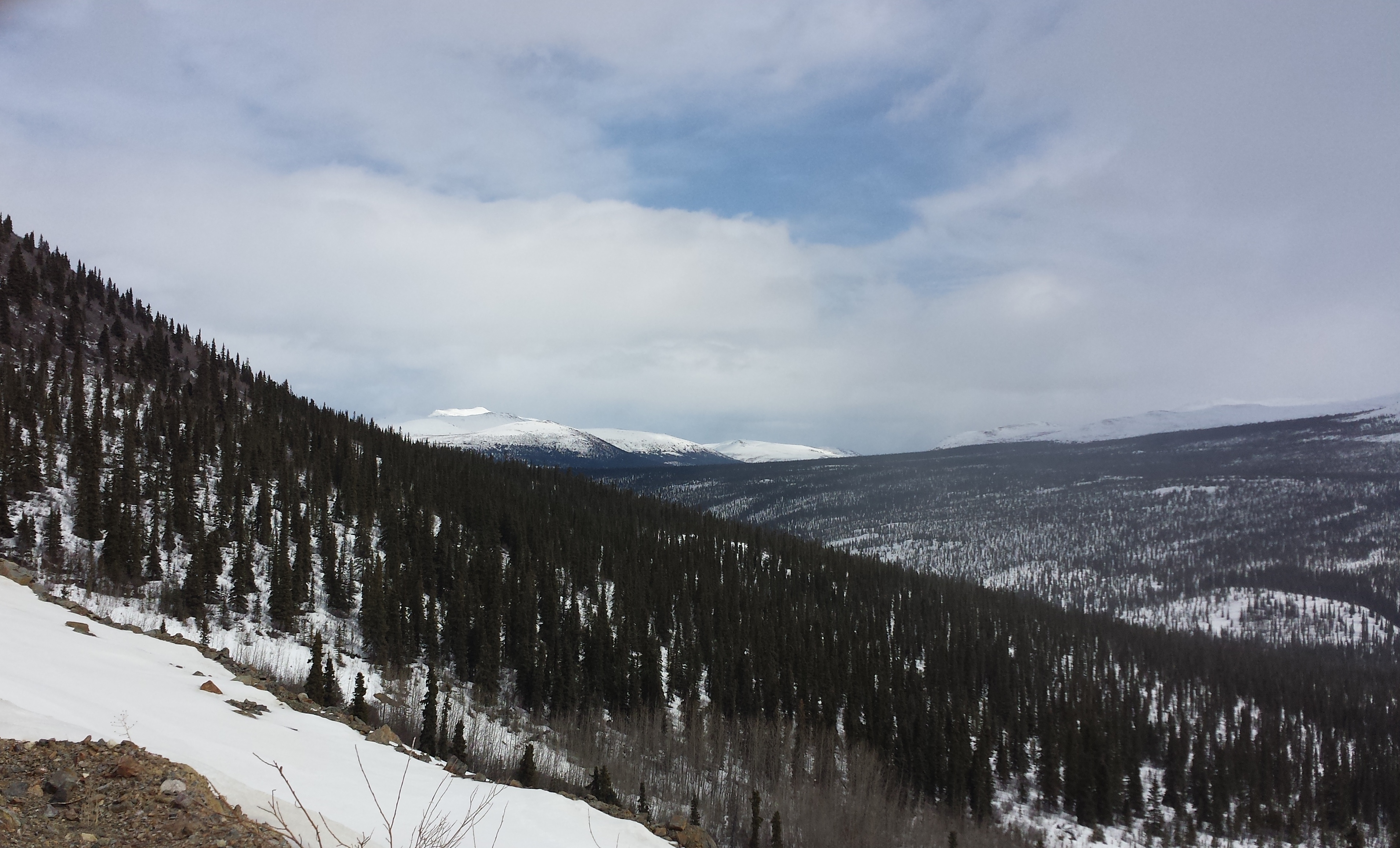
A Forest View
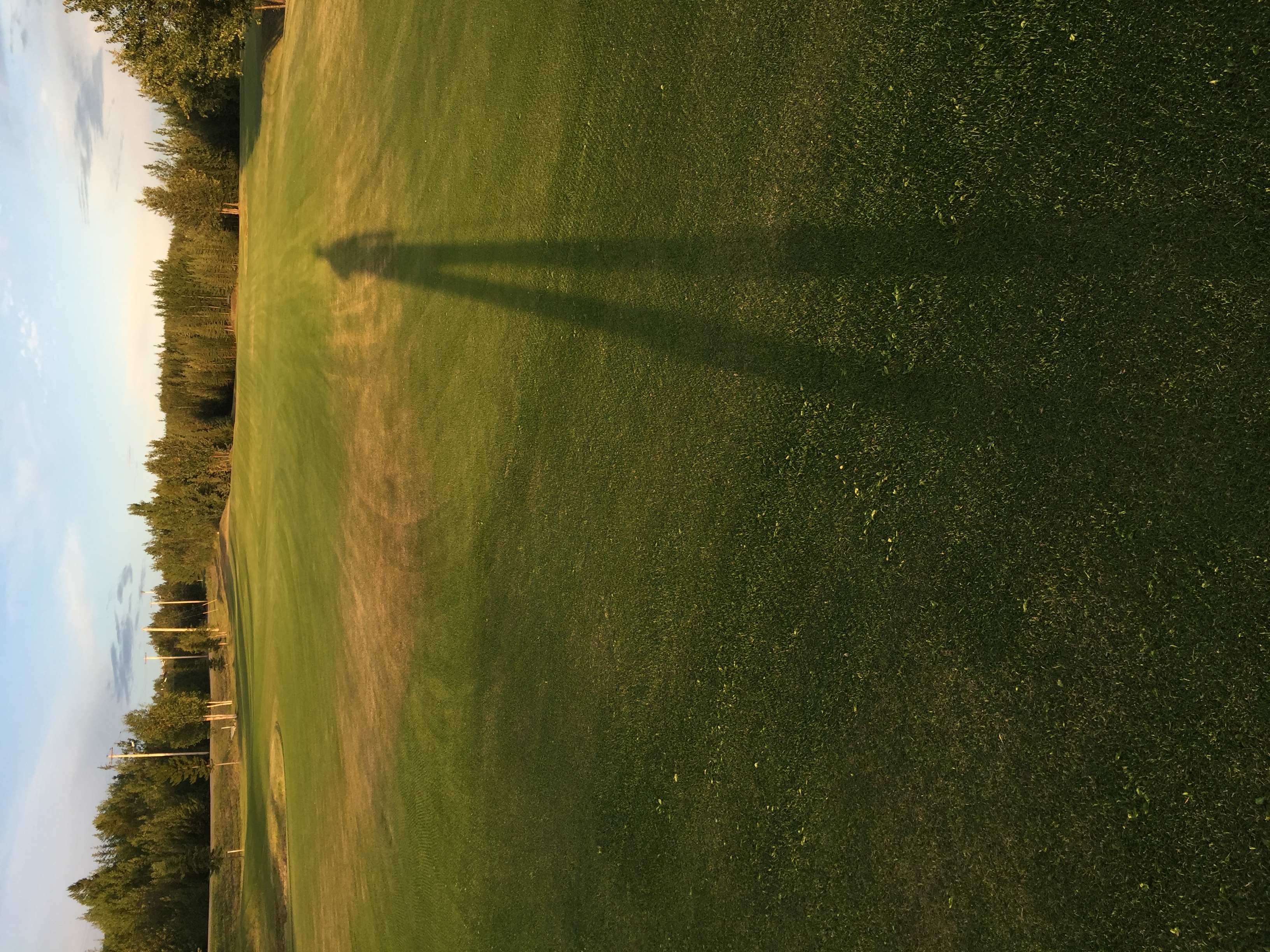
Midnight golfing at Faro 2016
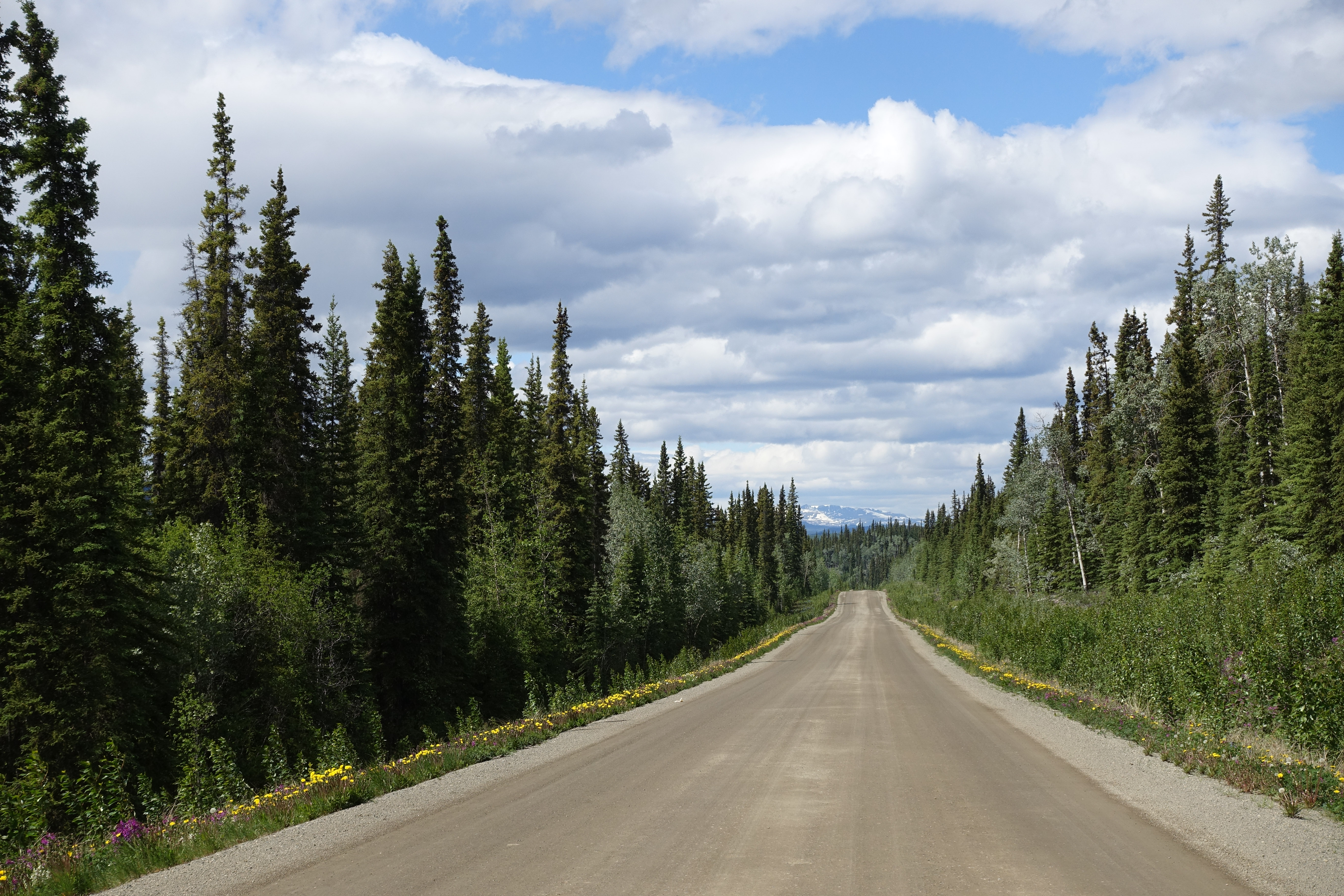
Robert Campbell Highway
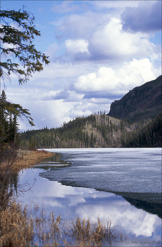
Little Salmon Lake, Faro, the Yukon
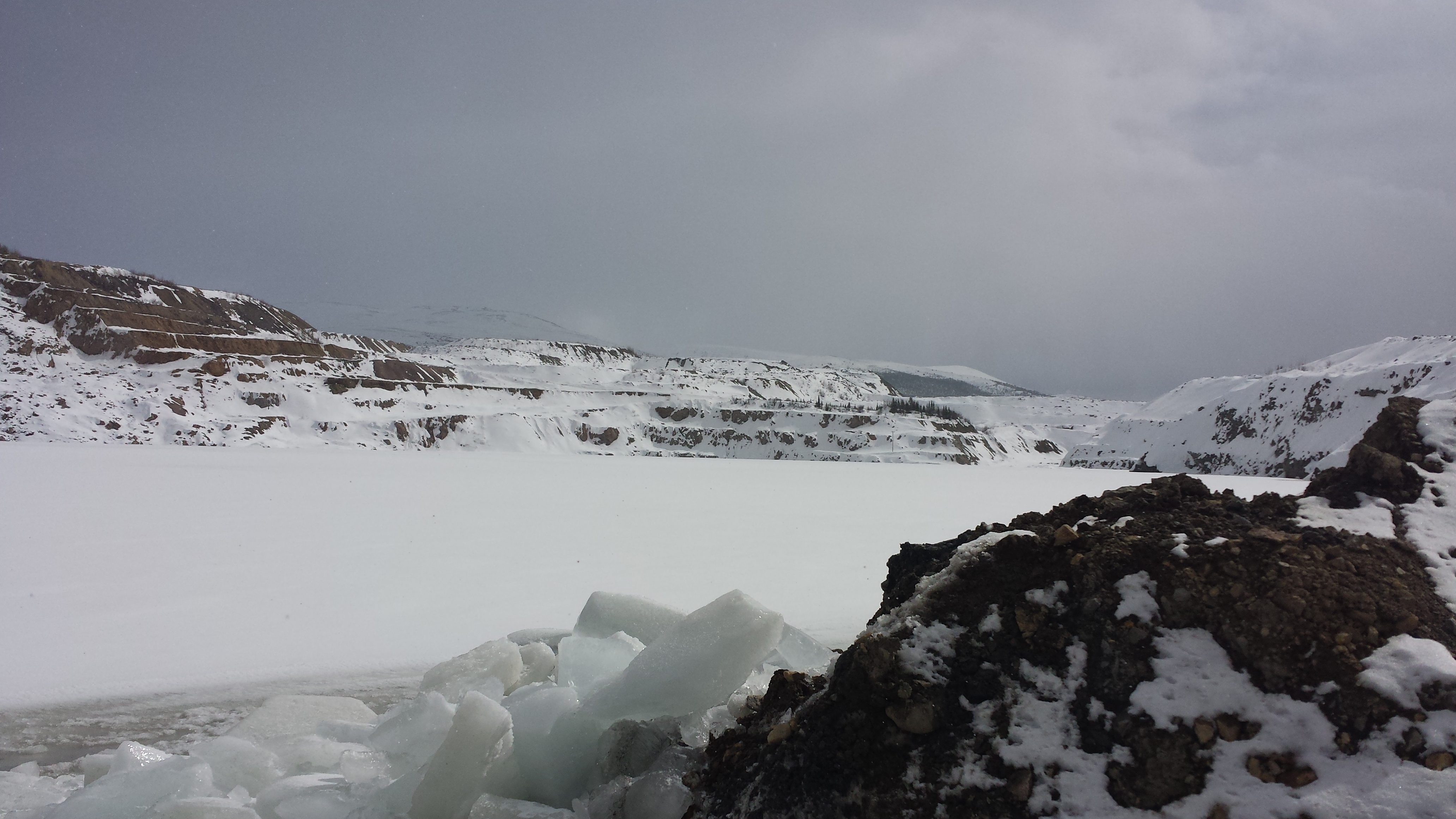
2015-04-16 13.44.51
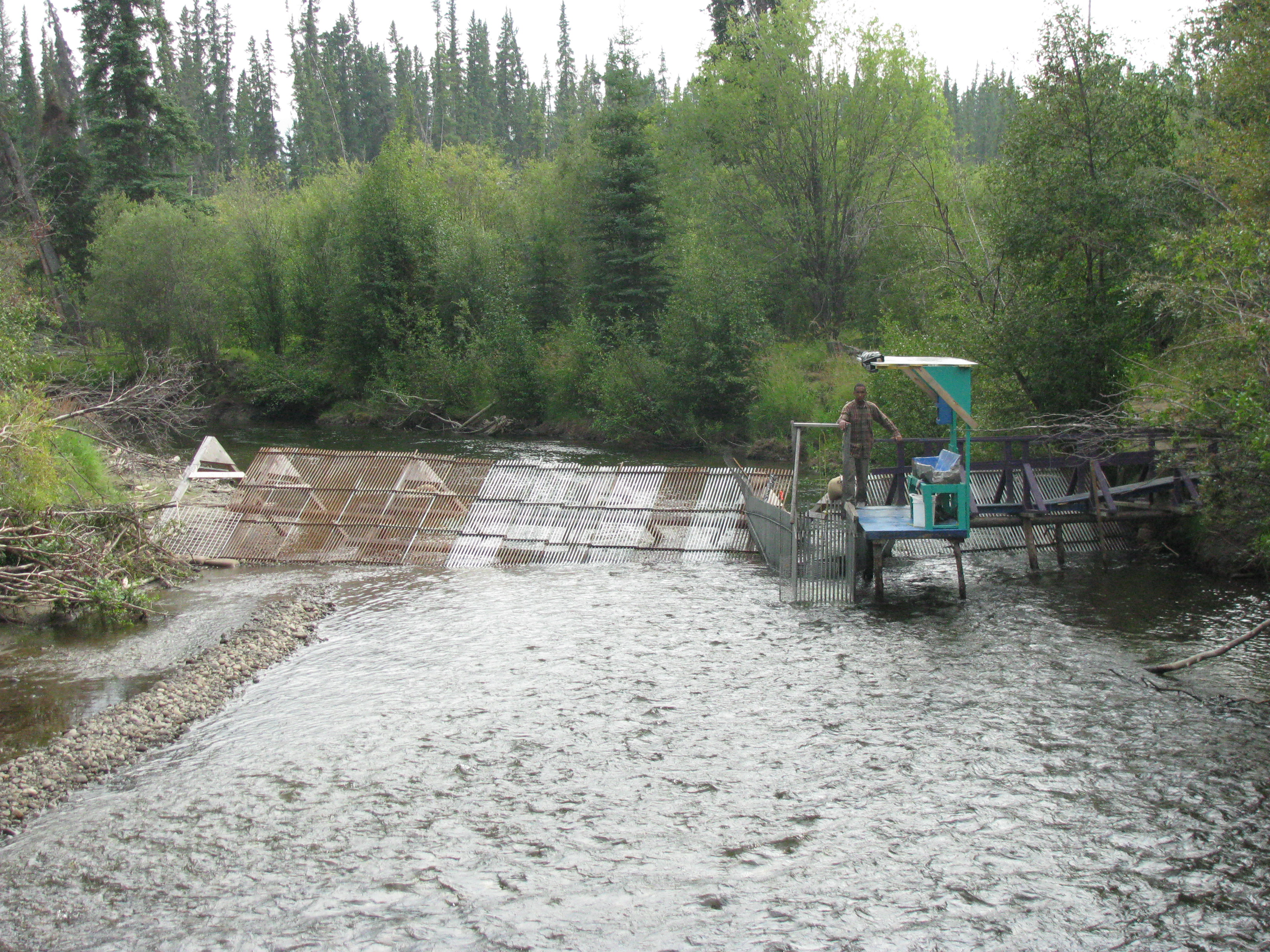
Salmon trap for catching salmon for research and subsequent tagging
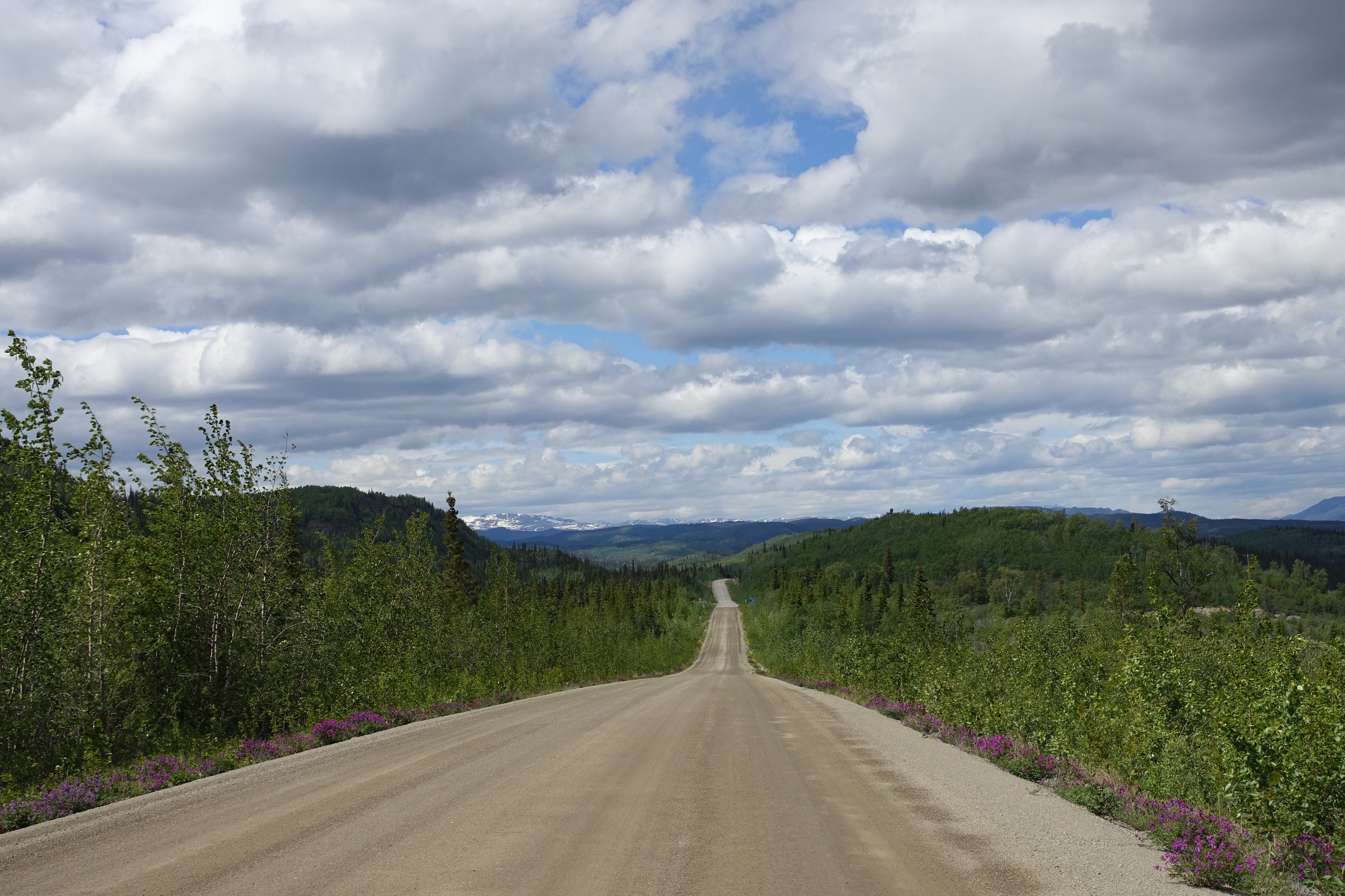
Robert Campbell Highway
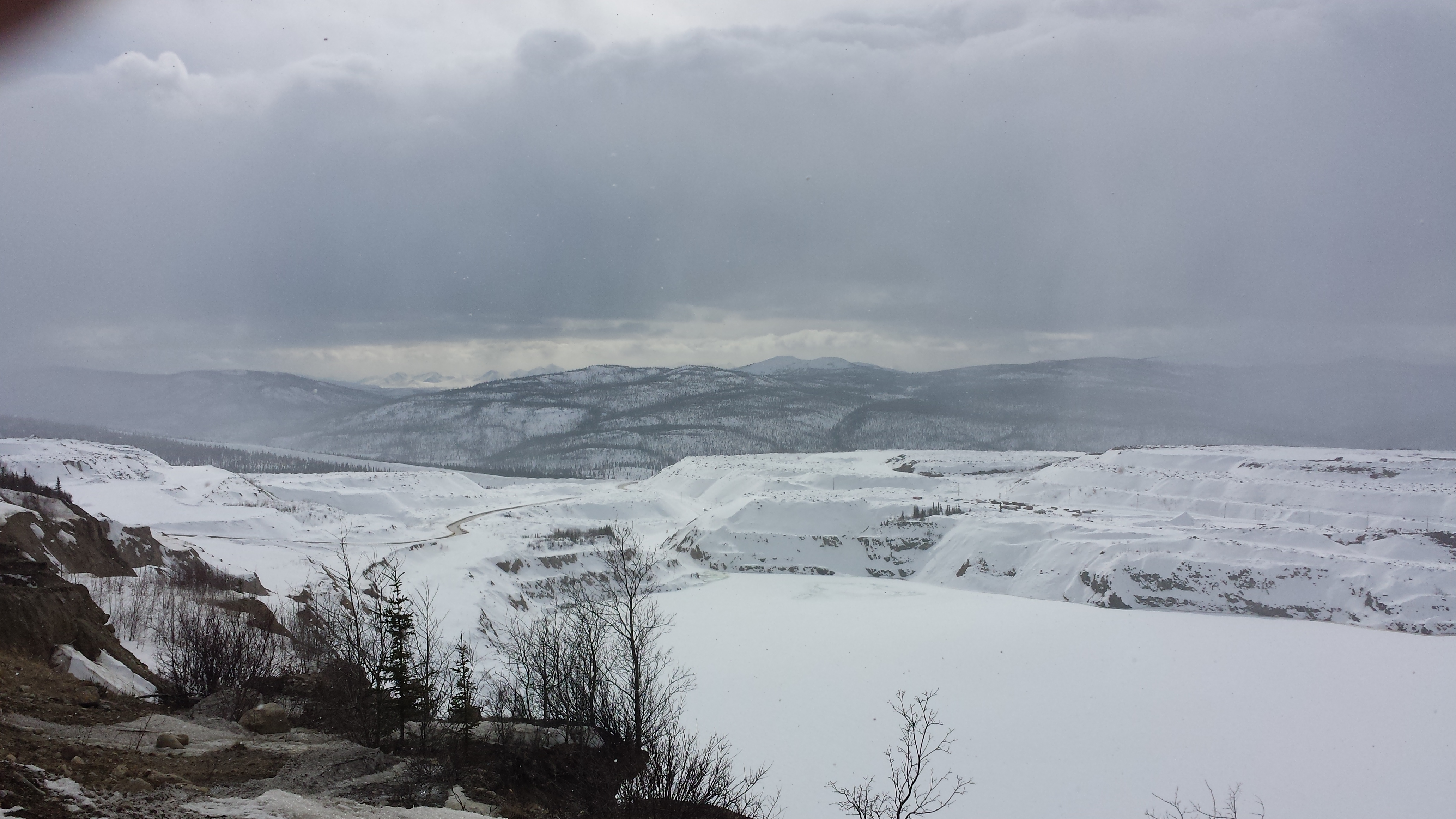
2015-04-16 14.00.50
2015-04-24 14.30.18
2015-04-16 13.56.54
Topographic Map of Town Of Faro, Campbell St, Faro, YT Y0B 1K0, Canada
Find elevation by address:

Places near Town Of Faro, Campbell St, Faro, YT Y0B 1K0, Canada:
Recent Searches:
- Elevation of Elwyn Dr, Roanoke Rapids, NC, USA
- Elevation of Congressional Dr, Stevensville, MD, USA
- Elevation of Bellview Rd, McLean, VA, USA
- Elevation of Stage Island Rd, Chatham, MA, USA
- Elevation of Shibuya Scramble Crossing, 21 Udagawacho, Shibuya City, Tokyo -, Japan
- Elevation of Jadagoniai, Kaunas District Municipality, Lithuania
- Elevation of Pagonija rock, Kranto 7-oji g. 8"N, Kaunas, Lithuania
- Elevation of Co Rd 87, Jamestown, CO, USA
- Elevation of Tenjo, Cundinamarca, Colombia
- Elevation of Côte-des-Neiges, Montreal, QC H4A 3J6, Canada