Elevation of Faro, YT, Canada
Location: Canada > Yukon Territory > Yukon >
Longitude: -133.35315
Latitude: 62.2285419
Elevation: 712m / 2336feet
Barometric Pressure: 93KPa
Elevation Map:
Satellite Map:
Related Photos:
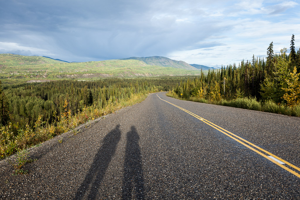
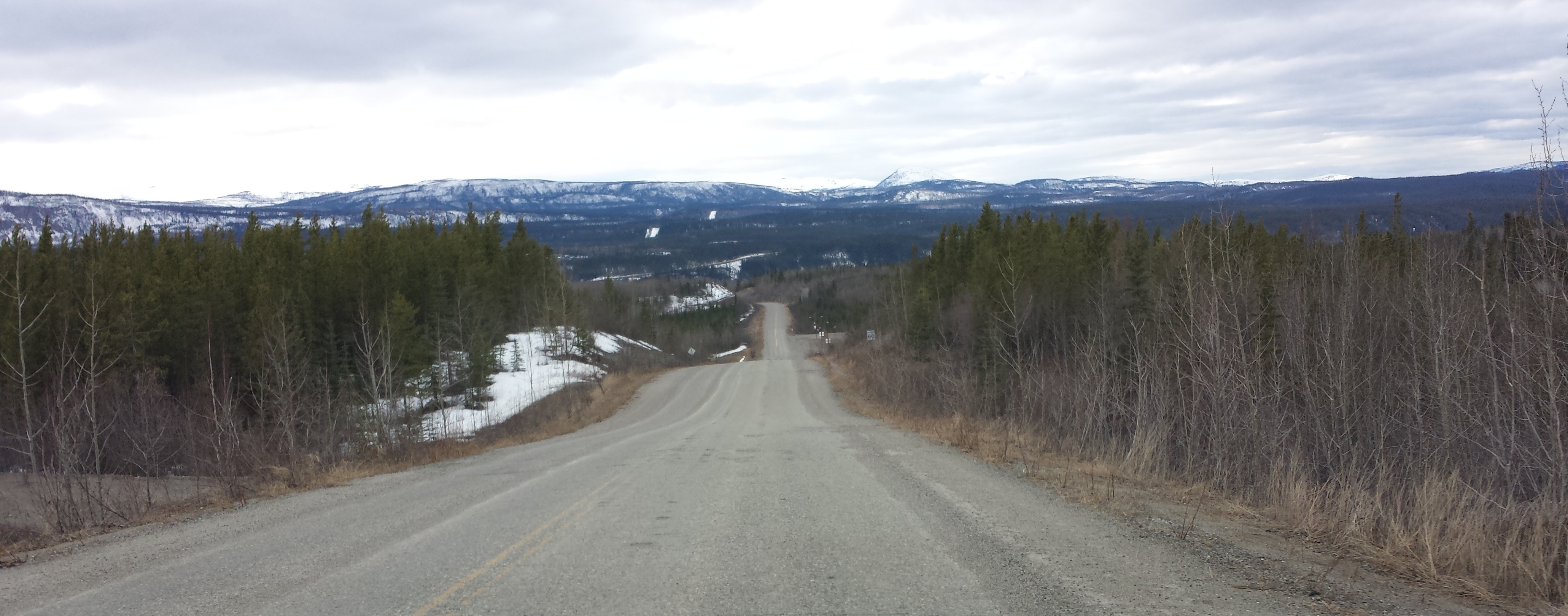
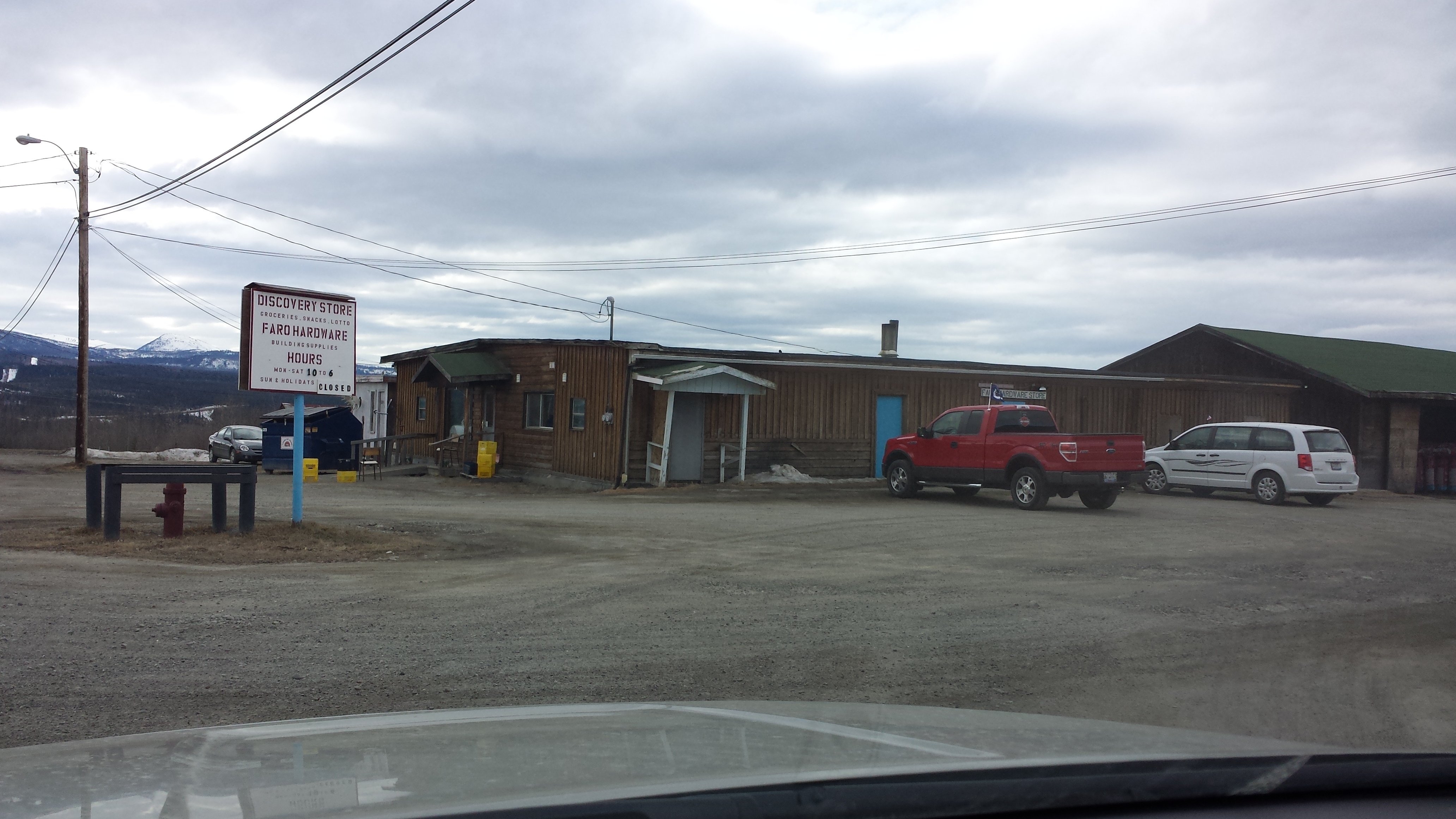
Road to Faro
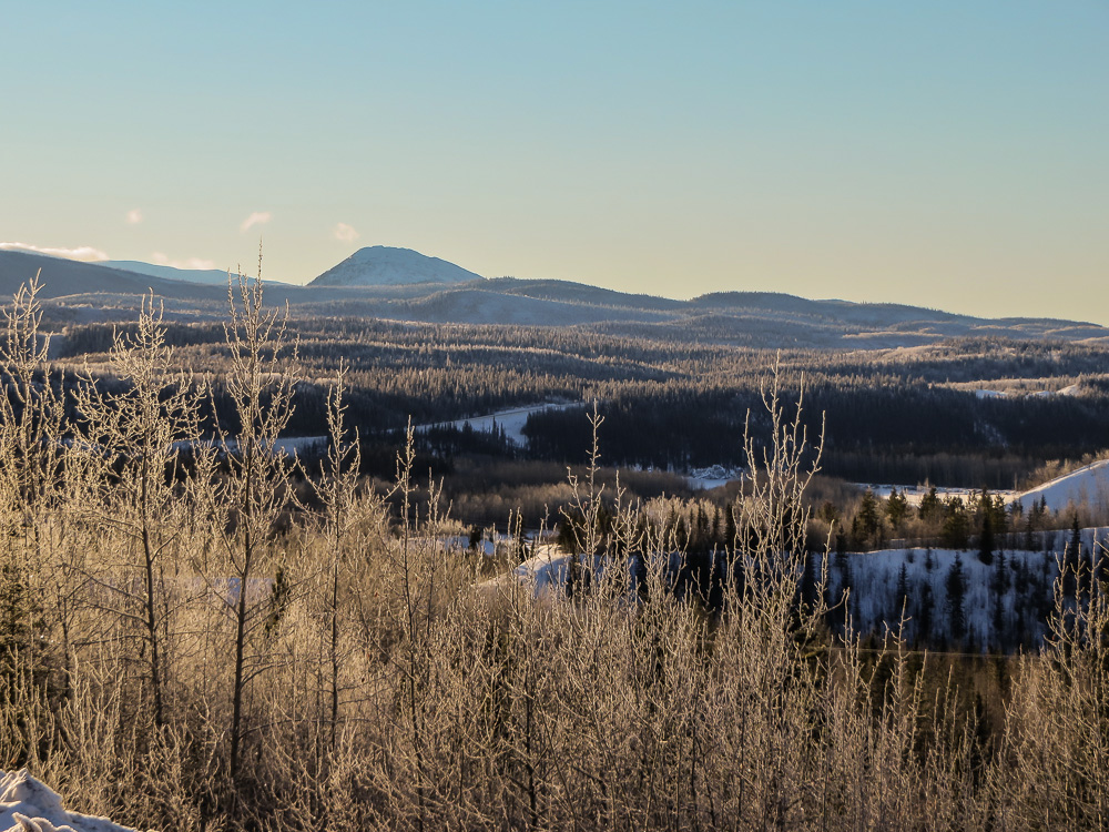
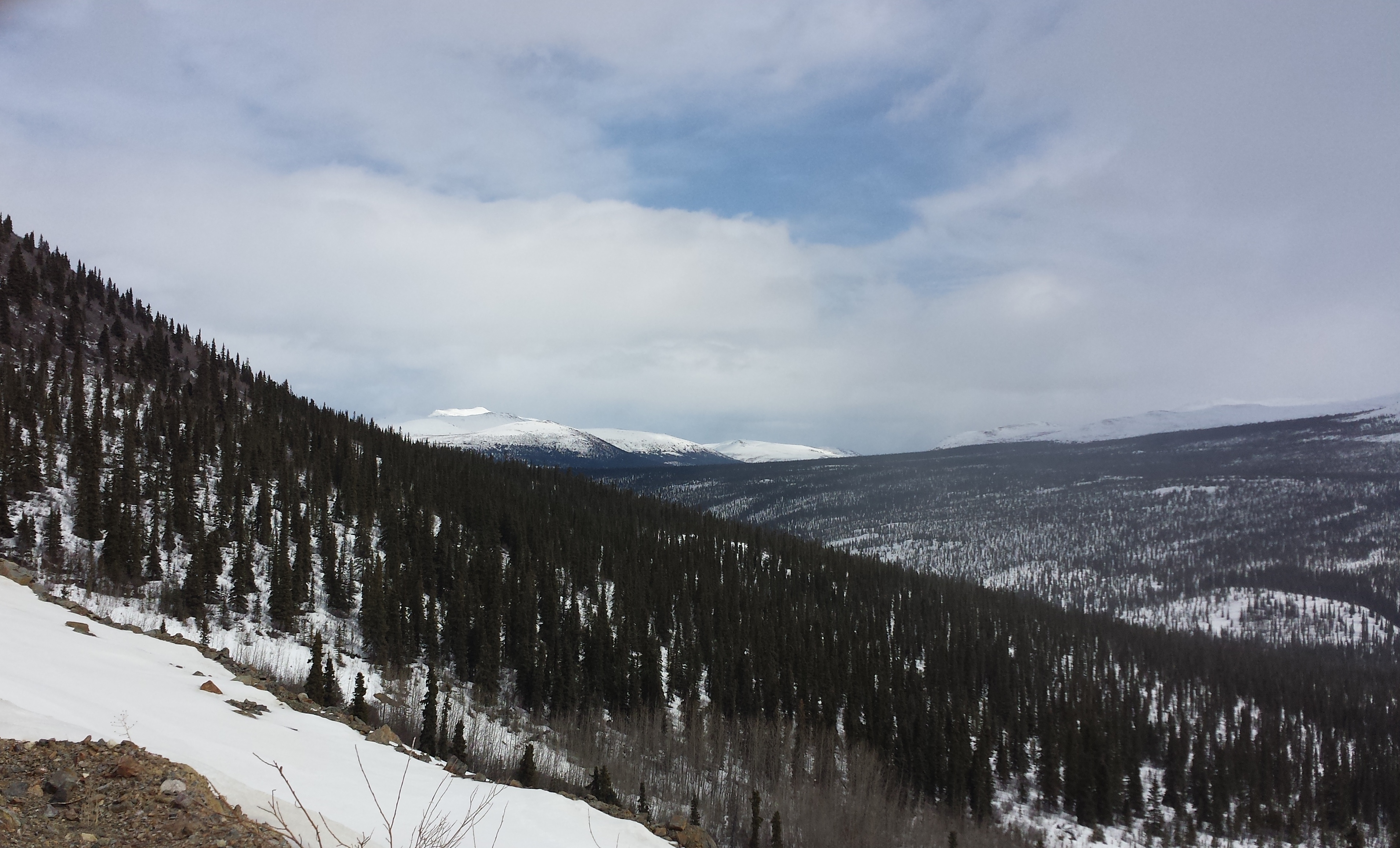
A Forest View
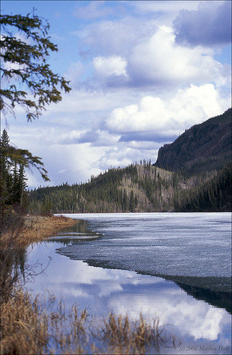
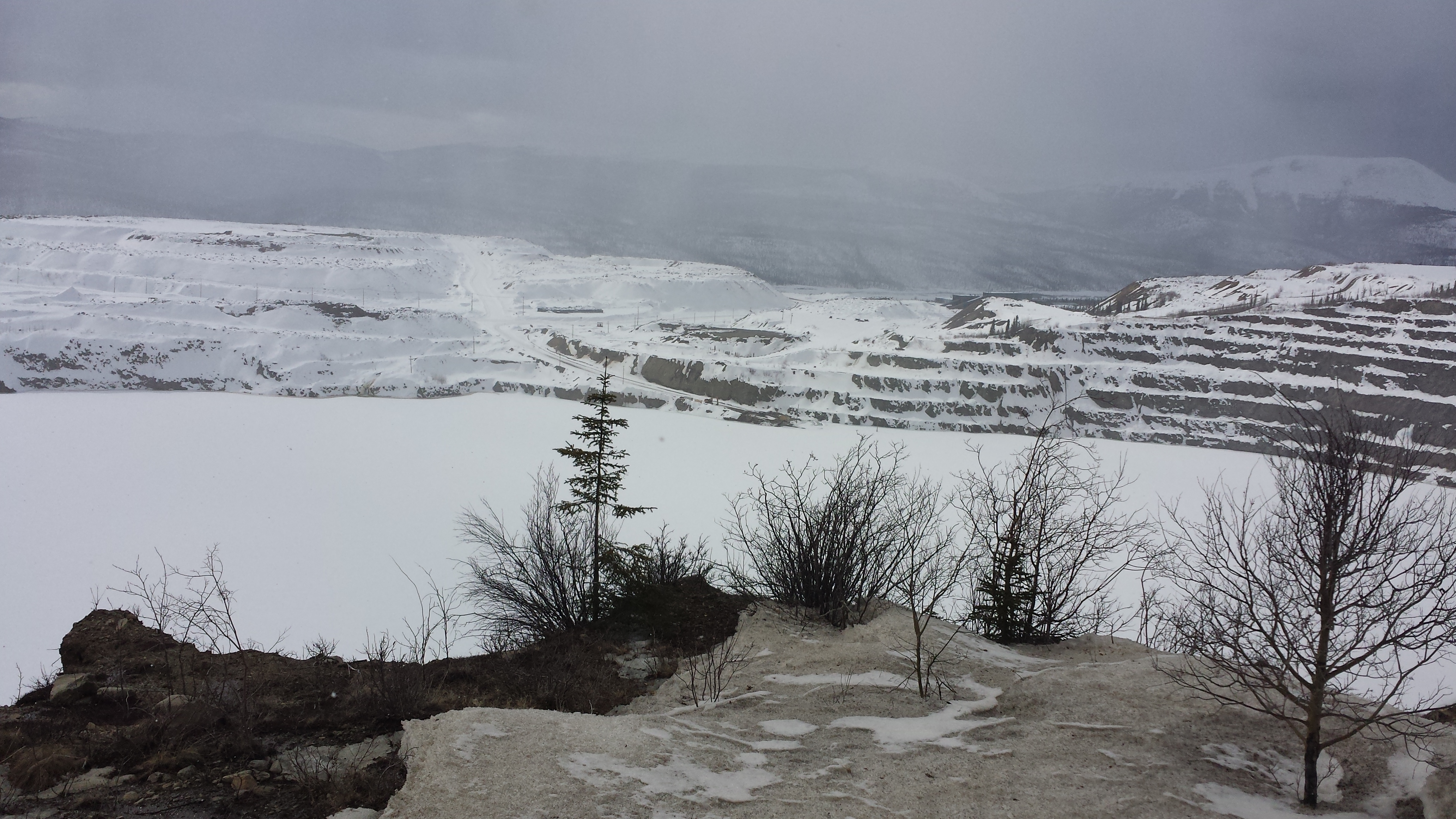
Little Salmon Lake, Faro, the Yukon
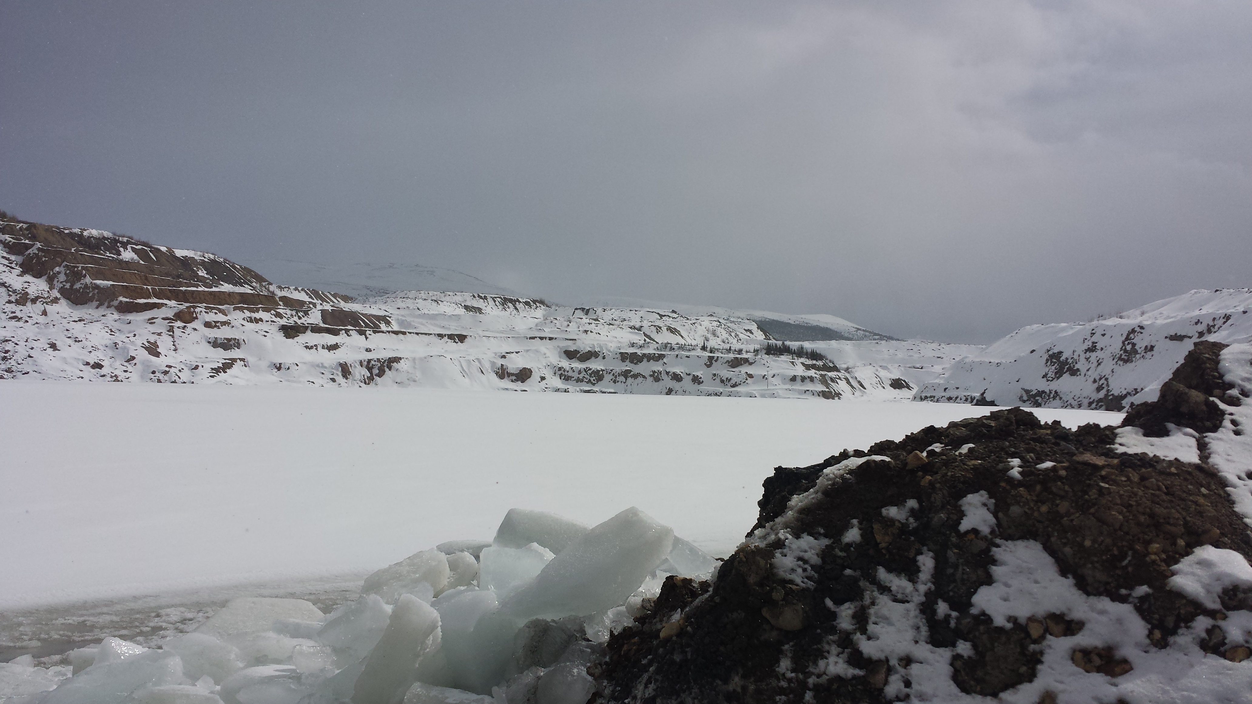
2015-04-16 13.44.51
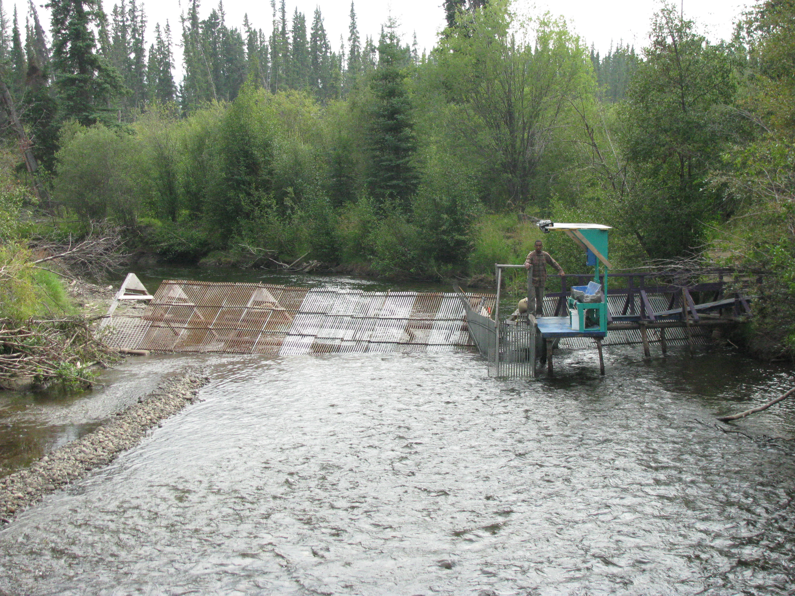
Salmon trap for catching salmon for research and subsequent tagging
2015-04-16 14.00.50
2015-04-24 14.30.18
2015-04-16 13.56.54
2015-04-16 14.00.34
2015-04-24 14.32.41
2015-04-24 15.15.20
2015-04-24 15.15.46
2015-04-24 15.16.16

2015-04-24 15.19.14

2015-04-14 18.02.20

2015-04-14 18.19.41
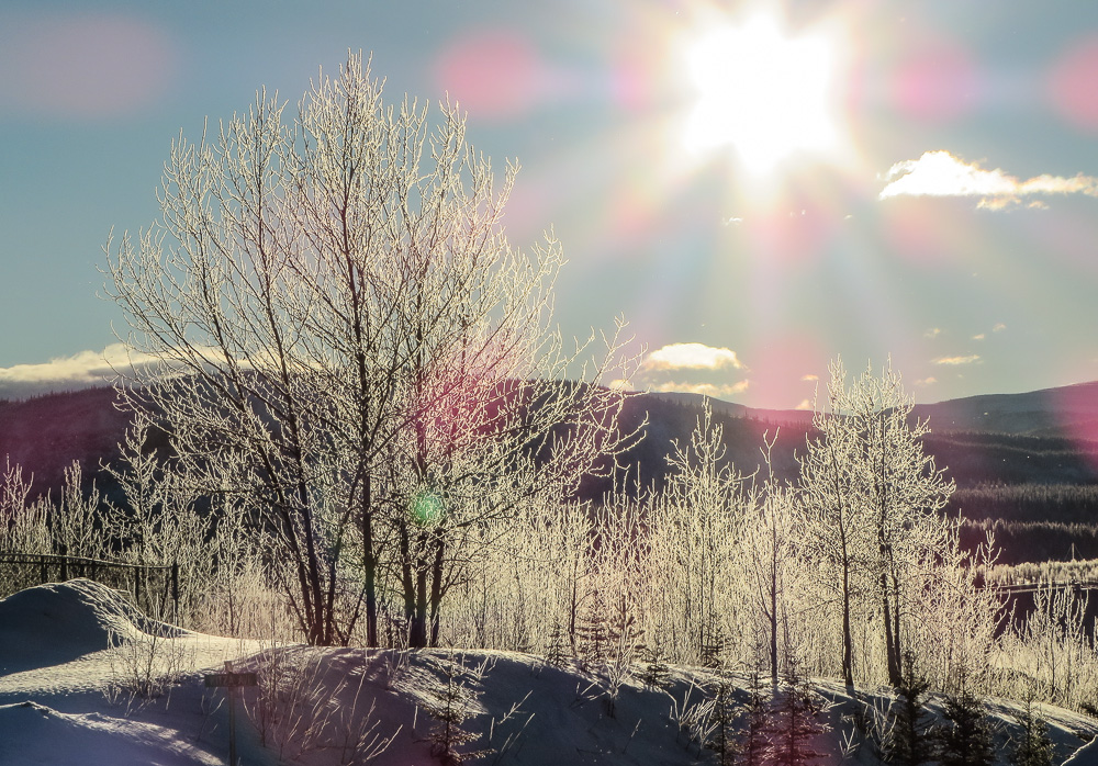
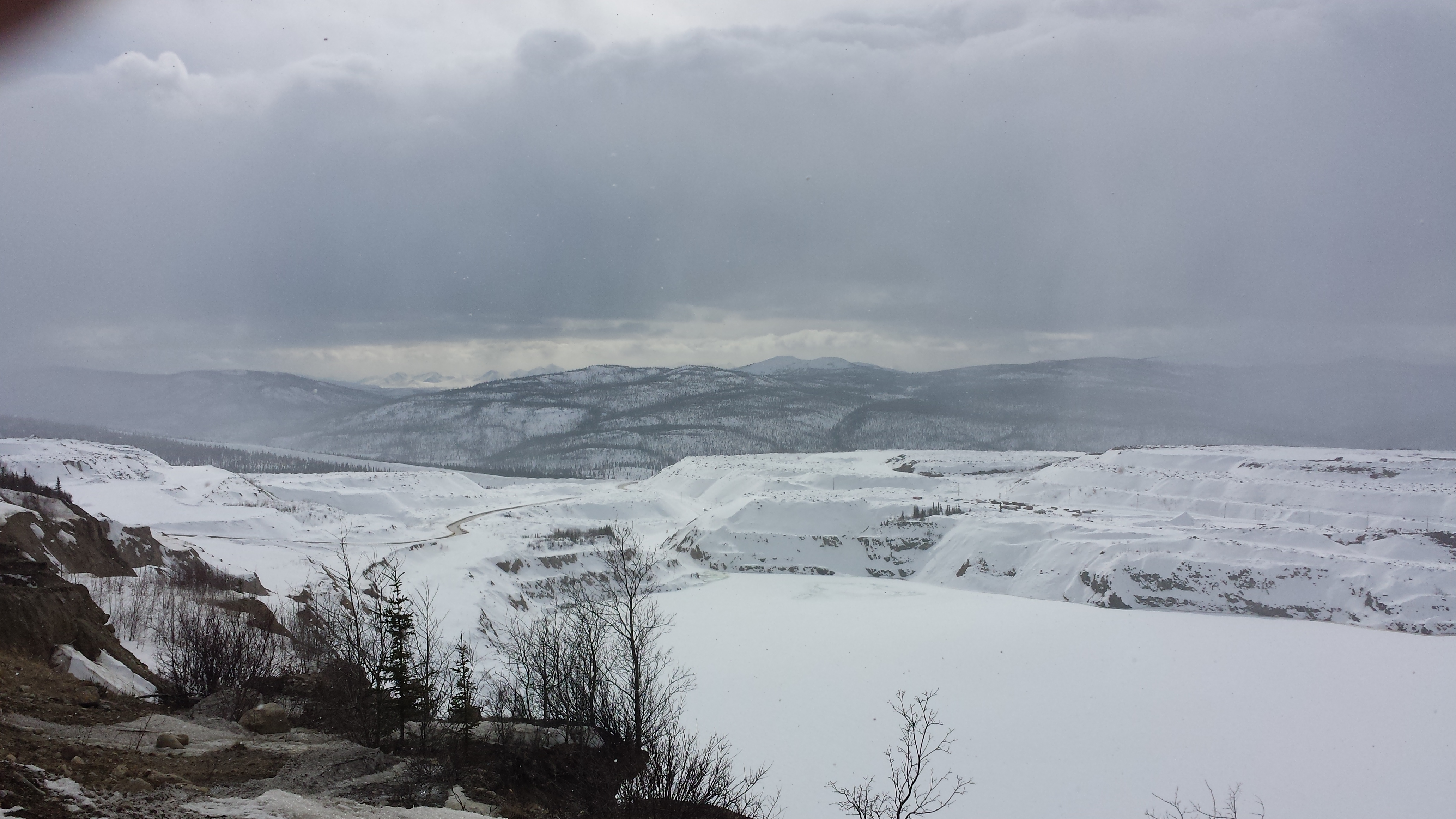
Winter Glow
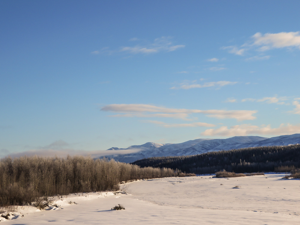
Pelly River in Faro
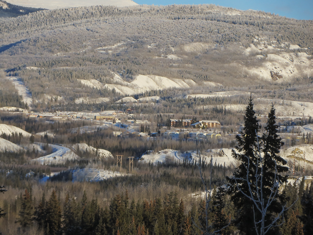
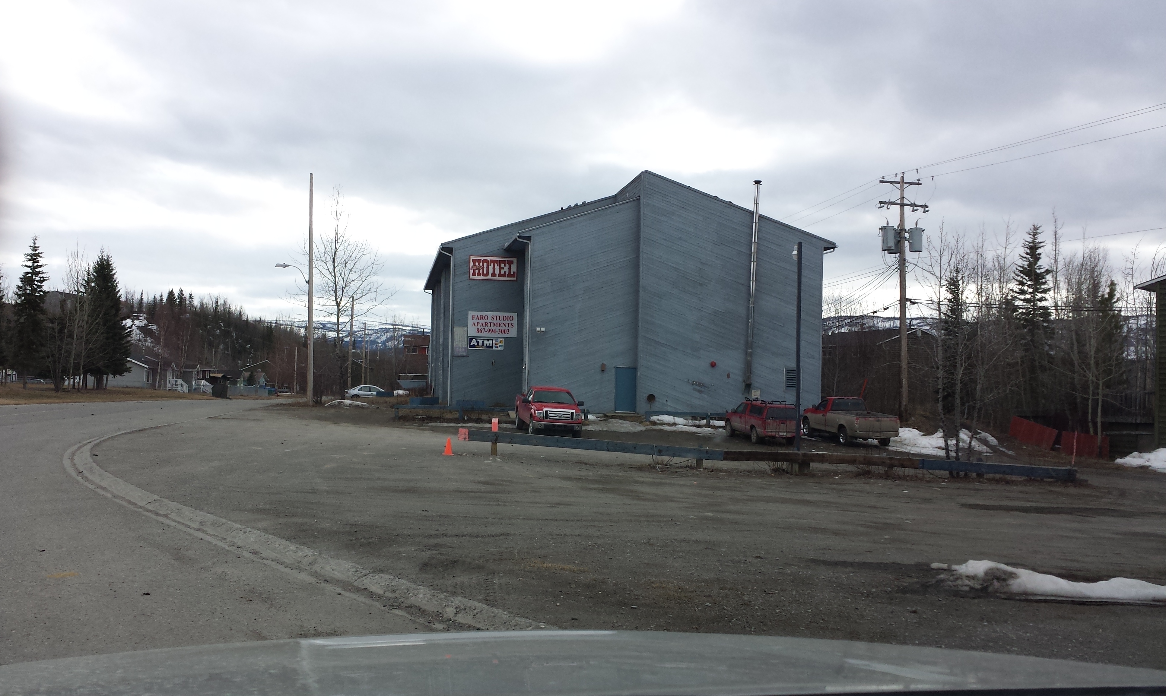
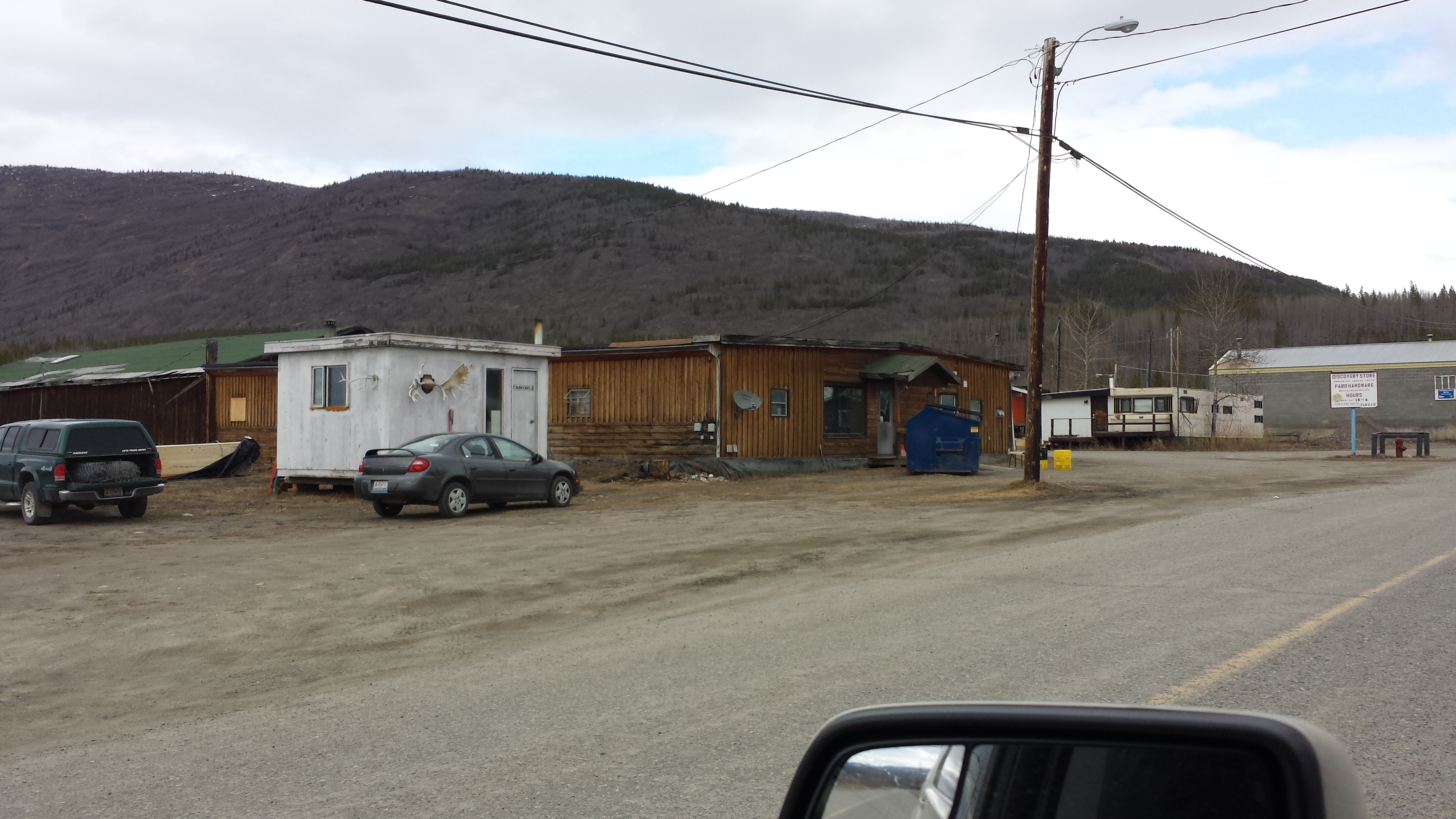
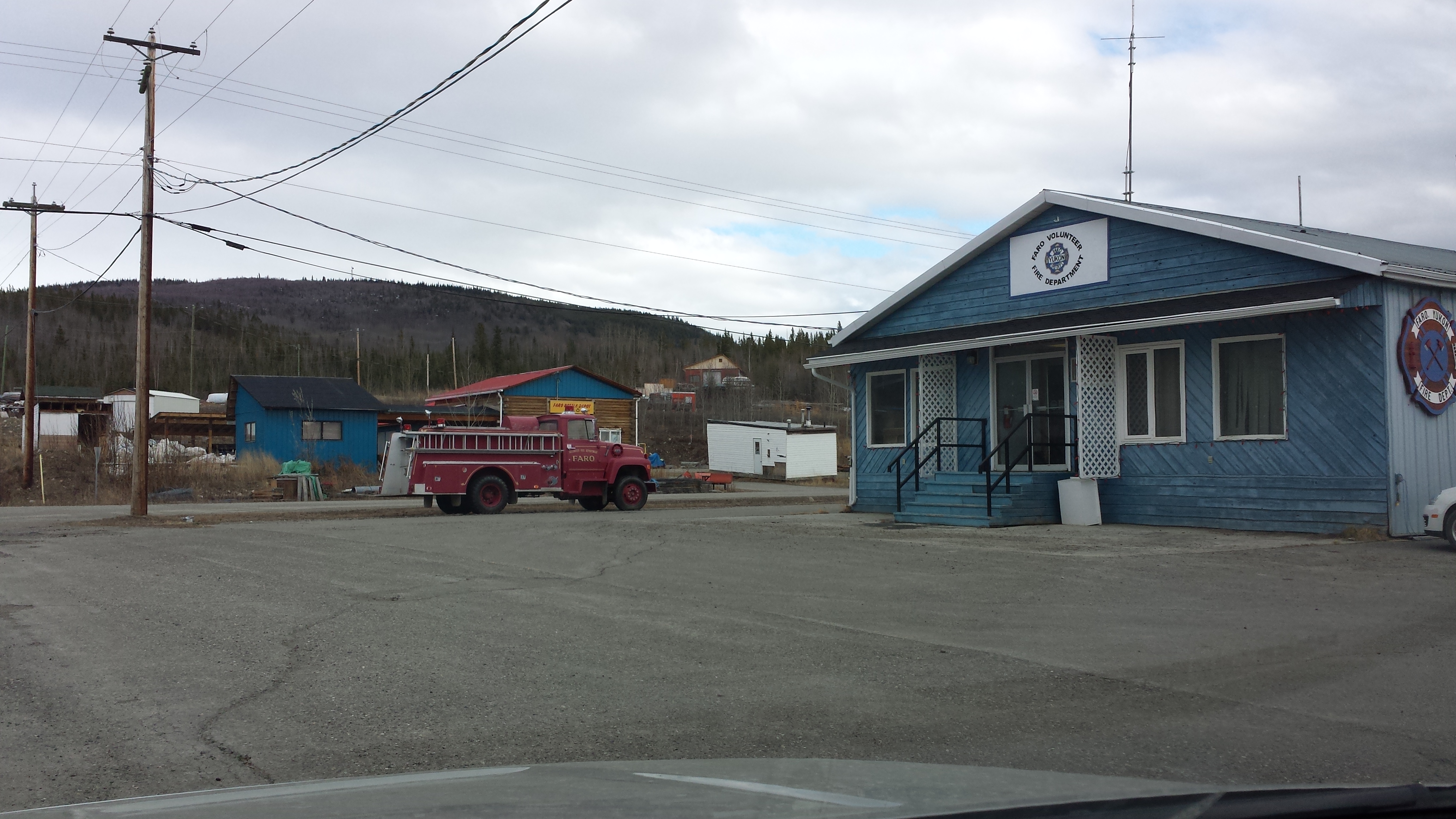
Faro, Yukon
Topographic Map of Faro, YT, Canada
Find elevation by address:

Places in Faro, YT, Canada:
Places near Faro, YT, Canada:
Recent Searches:
- Elevation of Corso Fratelli Cairoli, 35, Macerata MC, Italy
- Elevation of Tallevast Rd, Sarasota, FL, USA
- Elevation of 4th St E, Sonoma, CA, USA
- Elevation of Black Hollow Rd, Pennsdale, PA, USA
- Elevation of Oakland Ave, Williamsport, PA, USA
- Elevation of Pedrógão Grande, Portugal
- Elevation of Klee Dr, Martinsburg, WV, USA
- Elevation of Via Roma, Pieranica CR, Italy
- Elevation of Tavkvetili Mountain, Georgia
- Elevation of Hartfords Bluff Cir, Mt Pleasant, SC, USA