Elevation of Tonstad, Norway
Location: Norway > Vest-agder > Sirdal >
Longitude: 6.7169483
Latitude: 58.6626308
Elevation: 68m / 223feet
Barometric Pressure: 101KPa
Elevation Map:
Satellite Map:
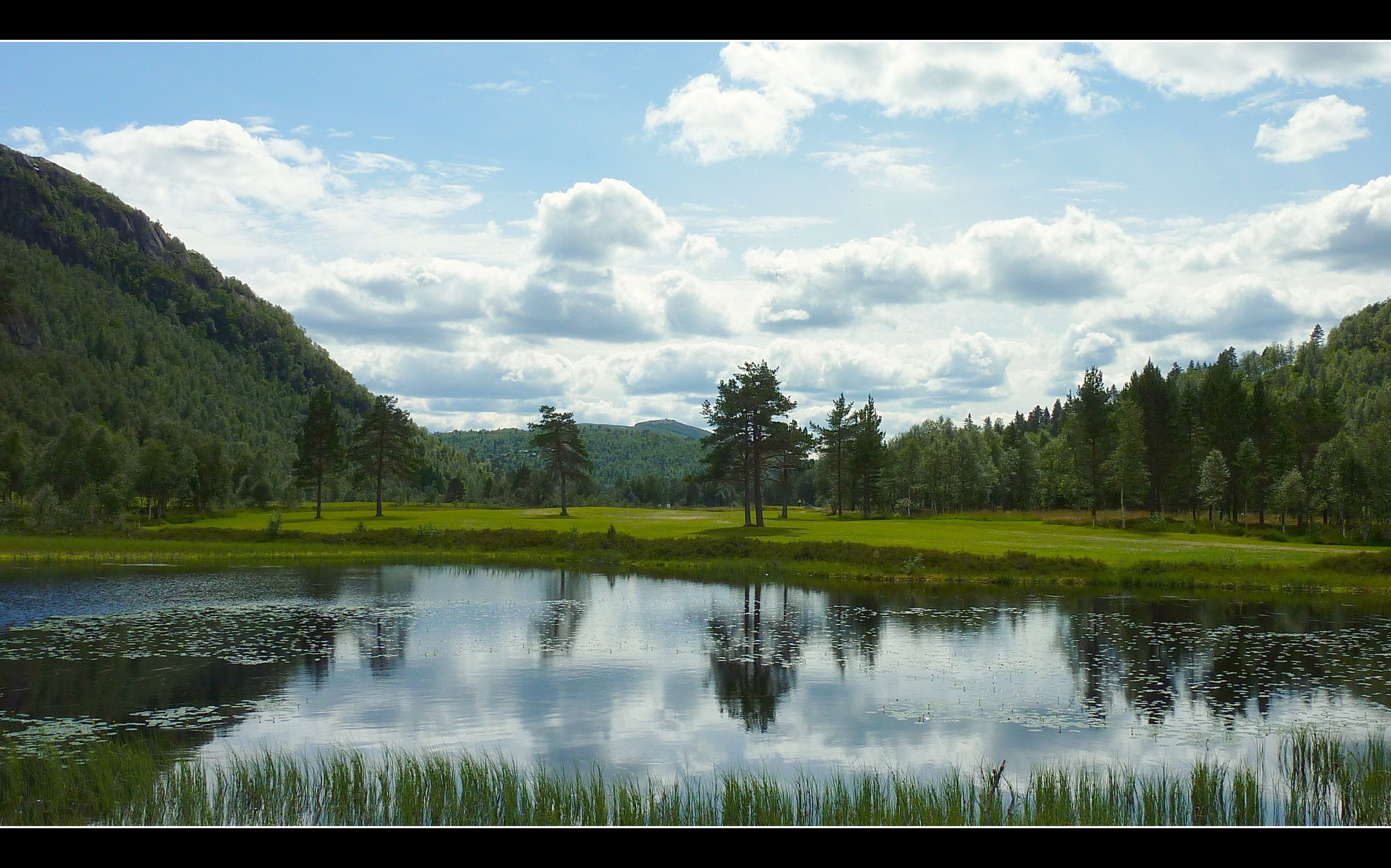
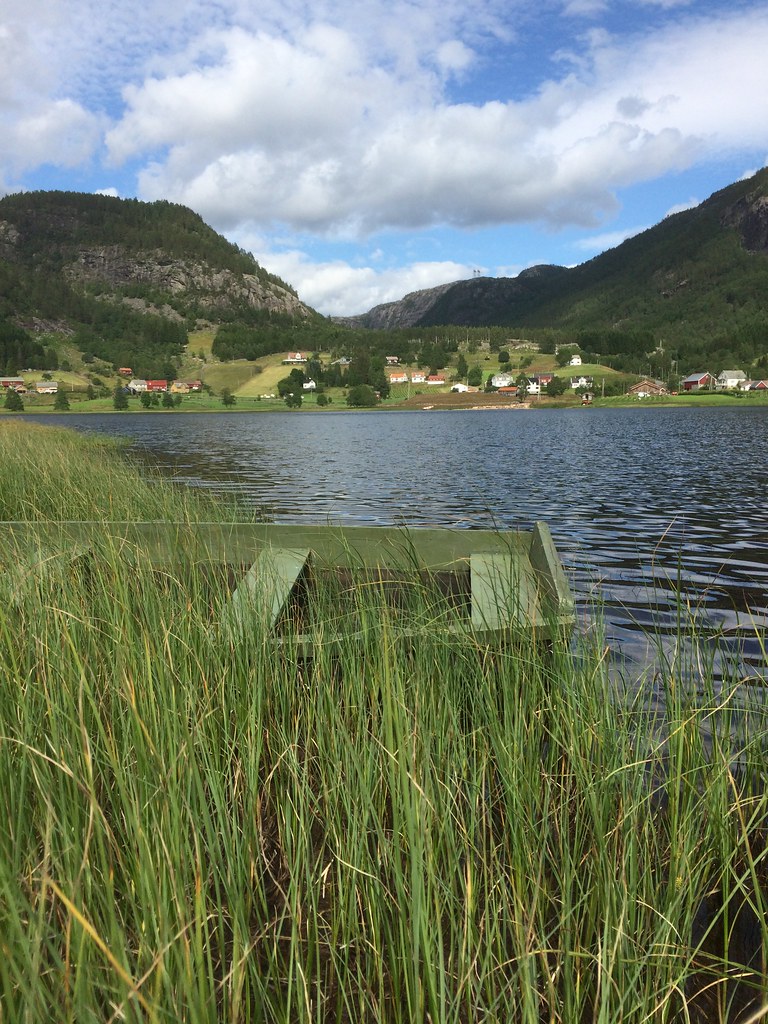
Related Photos:

A different point of view
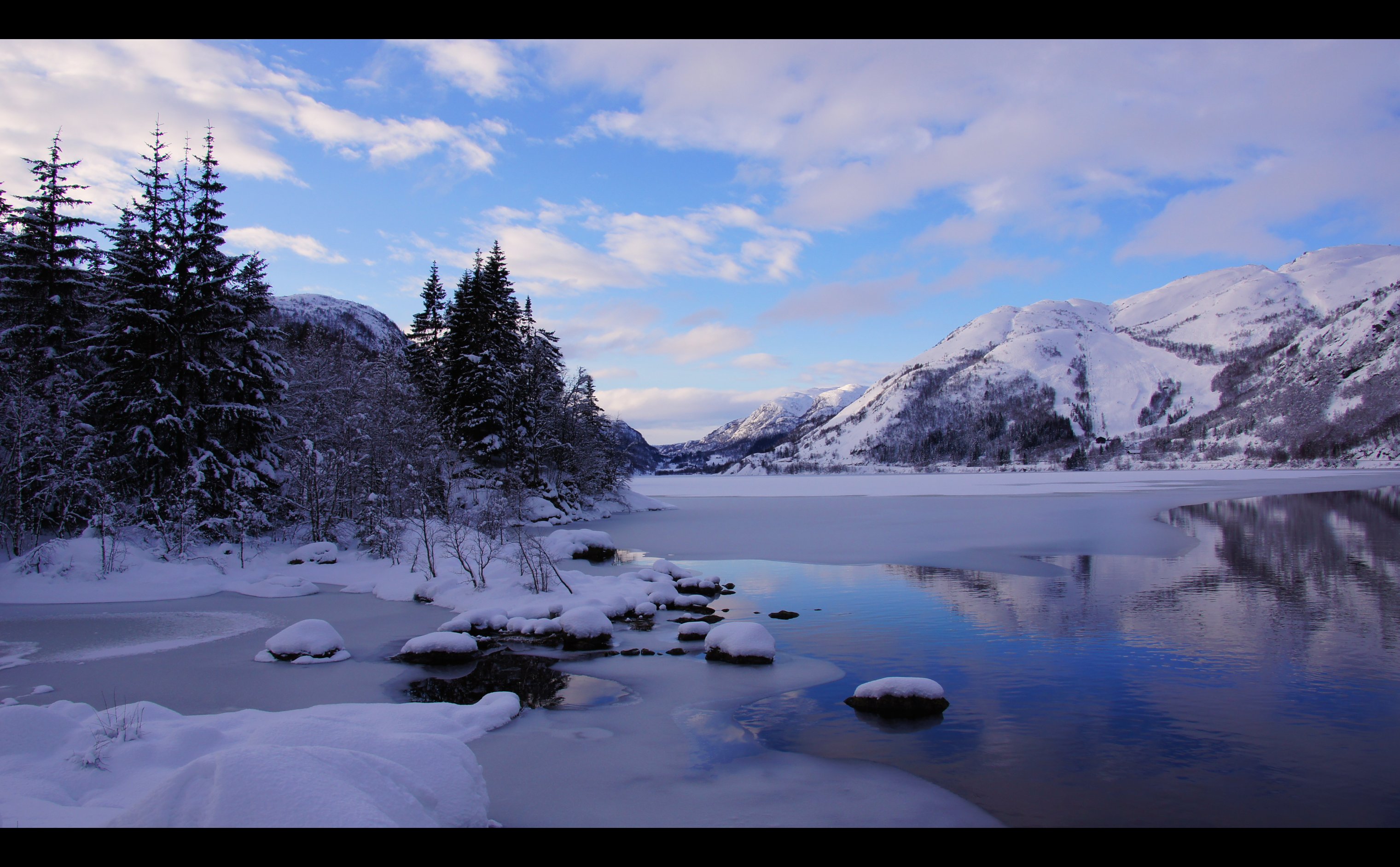
White & Blue Winter...
Rusdal #189
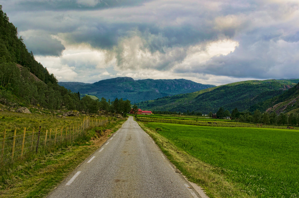
Lindeland, Sirdal
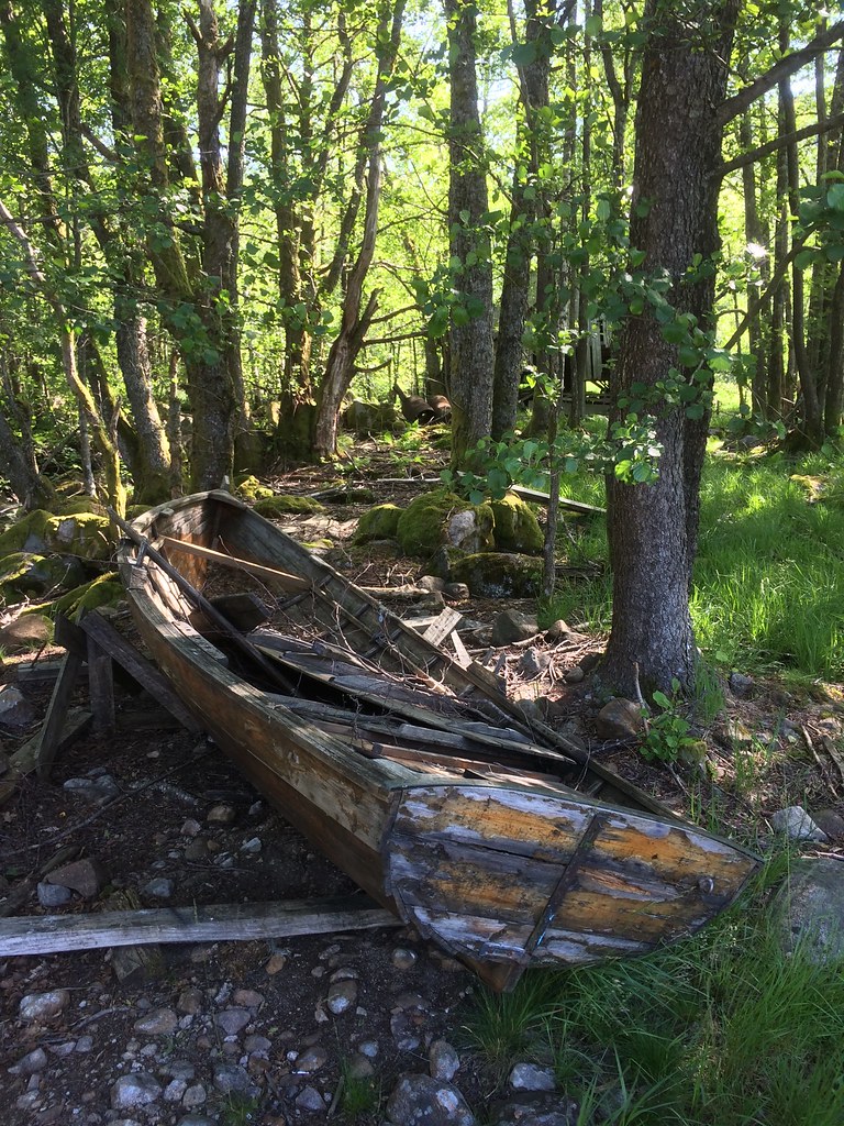
Prammen -|- Decaying boat

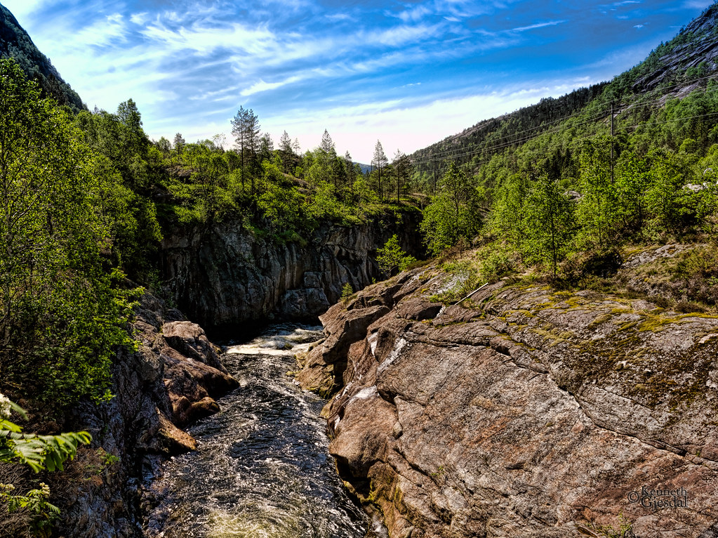
IR waterfall
Skies vs Water...
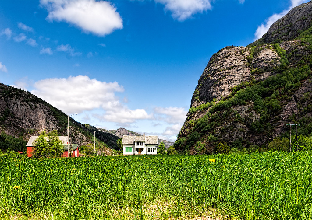
Love the look of these old houses

Finsådammen
Vatnidyll -|- Little lake
Topographic Map of Tonstad, Norway
Find elevation by address:

Places near Tonstad, Norway:
Sirdal
Rv45, Dirdal, Norway
Kvinlog
Lund
Sinnes
Kvinesdal
Sinnes
Fjotland
Vest-agder
Flekkefjord
Grønnes 38, Flekkefjord, Norway
Fv, Dirdal, Norway
Månafossen
Kjerag
Fv 20, Tjørhom, Norway
Fv, Feda, Norway
Eigeland
Forsand
Fv14 10, Ualand, Norway
Gjesdal
Recent Searches:
- Elevation of Sattva Horizon, 4JC6+G9P, Vinayak Nagar, Kattigenahalli, Bengaluru, Karnataka, India
- Elevation of Great Brook Sports, Gold Star Hwy, Groton, CT, USA
- Elevation of 10 Mountain Laurels Dr, Nashua, NH, USA
- Elevation of 16 Gilboa Ln, Nashua, NH, USA
- Elevation of Laurel Rd, Townsend, TN, USA
- Elevation of 3 Nestling Wood Dr, Long Valley, NJ, USA
- Elevation of Ilungu, Tanzania
- Elevation of Yellow Springs Road, Yellow Springs Rd, Chester Springs, PA, USA
- Elevation of Rēzekne Municipality, Latvia
- Elevation of Plikpūrmaļi, Vērēmi Parish, Rēzekne Municipality, LV-, Latvia