Elevation of Tonbigasawa-20 Yamaguchi, Takko-machi, Sannohe-gun, Aomori-ken -, Japan
Location: Japan > Aomori Prefecture > Sannohe District > Takko >
Longitude: 141.049983
Latitude: 40.2950529
Elevation: 242m / 794feet
Barometric Pressure: 98KPa
Elevation Map:
Satellite Map:
Related Photos:

Beauty In Chaos

Burning Tree

20150304 11:48 Ninohe Iwate
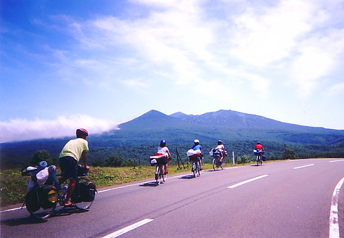
Cycle Memoreis

_1041806.JPG

The ANA Fleet
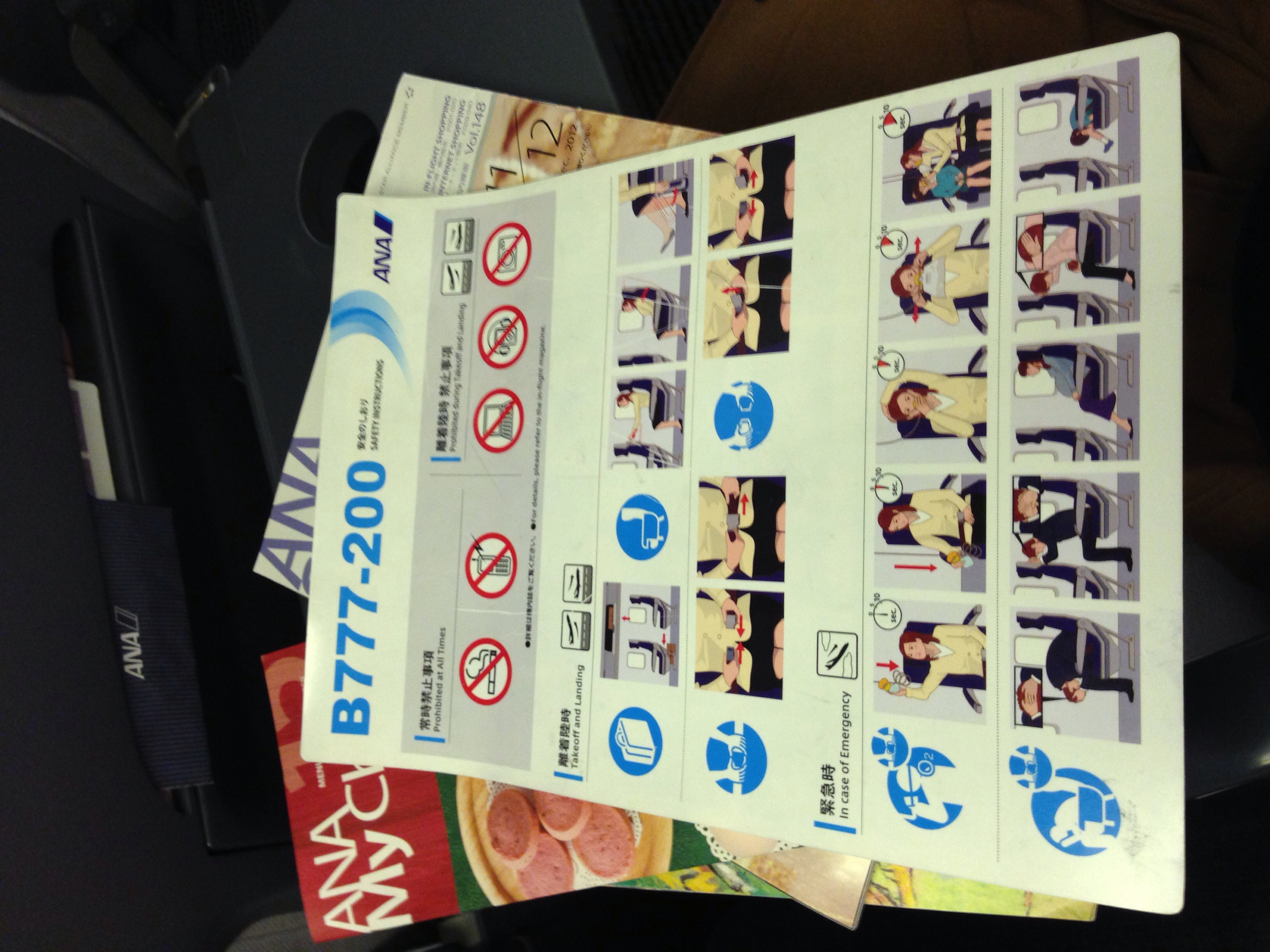
ANA Boeing 777-200 Safety Card

ANA Magazine, Inflight Menu and Sky Shop Catalogue

_1041809.JPG

_1041808.JPG

_1041805.JPG
Topographic Map of Tonbigasawa-20 Yamaguchi, Takko-machi, Sannohe-gun, Aomori-ken -, Japan
Find elevation by address:

Places near Tonbigasawa-20 Yamaguchi, Takko-machi, Sannohe-gun, Aomori-ken -, Japan:
Takko
Heraidake
Ishinashizaka-16 Herai
Ishinashizaka Herai
Sawada-16 Tonai, Sannohe-machi, Sannohe-gun, Aomori-ken -, Japan
21 Yagami, Hachimantai-shi, Iwate-ken -, Japan
Okuse
Shingo
Herai
Towadakohannenokuchi- Okuse, Towada-shi, Aomori-ken -, Japan
Sannohe
Sannohe Castle
Shironoshita Umenai
Chiushiyama-2- Hanawa, Kazuno-shi, Akita-ken -, Japan
Lake Towada
-4 Akasakata, Hachimantai-shi, Iwate-ken -, Japan
Ninohe
Shinden-37 Mega, Ichinohe-machi, Ninohe-gun, Iwate-ken -, Japan
Ichinohe
Uenoyama-23 Horino, Ninohe-shi, Iwate-ken -, Japan
Recent Searches:
- Elevation of Elwyn Dr, Roanoke Rapids, NC, USA
- Elevation of Congressional Dr, Stevensville, MD, USA
- Elevation of Bellview Rd, McLean, VA, USA
- Elevation of Stage Island Rd, Chatham, MA, USA
- Elevation of Shibuya Scramble Crossing, 21 Udagawacho, Shibuya City, Tokyo -, Japan
- Elevation of Jadagoniai, Kaunas District Municipality, Lithuania
- Elevation of Pagonija rock, Kranto 7-oji g. 8"N, Kaunas, Lithuania
- Elevation of Co Rd 87, Jamestown, CO, USA
- Elevation of Tenjo, Cundinamarca, Colombia
- Elevation of Côte-des-Neiges, Montreal, QC H4A 3J6, Canada