Elevation map of Toledo District, Belize
Location: Belize >
Longitude: -88.864698
Latitude: 16.2491923
Elevation: 29m / 95feet
Barometric Pressure: 101KPa
Elevation Map:
Satellite Map:
Related Photos:

CO 1069-259-85
DJI_0015.jpg
The Aguacaliente Lagoon is located near Laguna Village. The protected area consists of a wetland ecosystem that spans over 6,000 acres. Nearby limestone hills are home to many species of birds, animals, and other wildlife. The lagoon is especially a bird

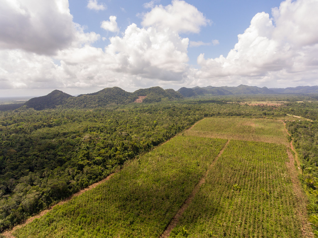
Maya Mountains: Aerial Perspective
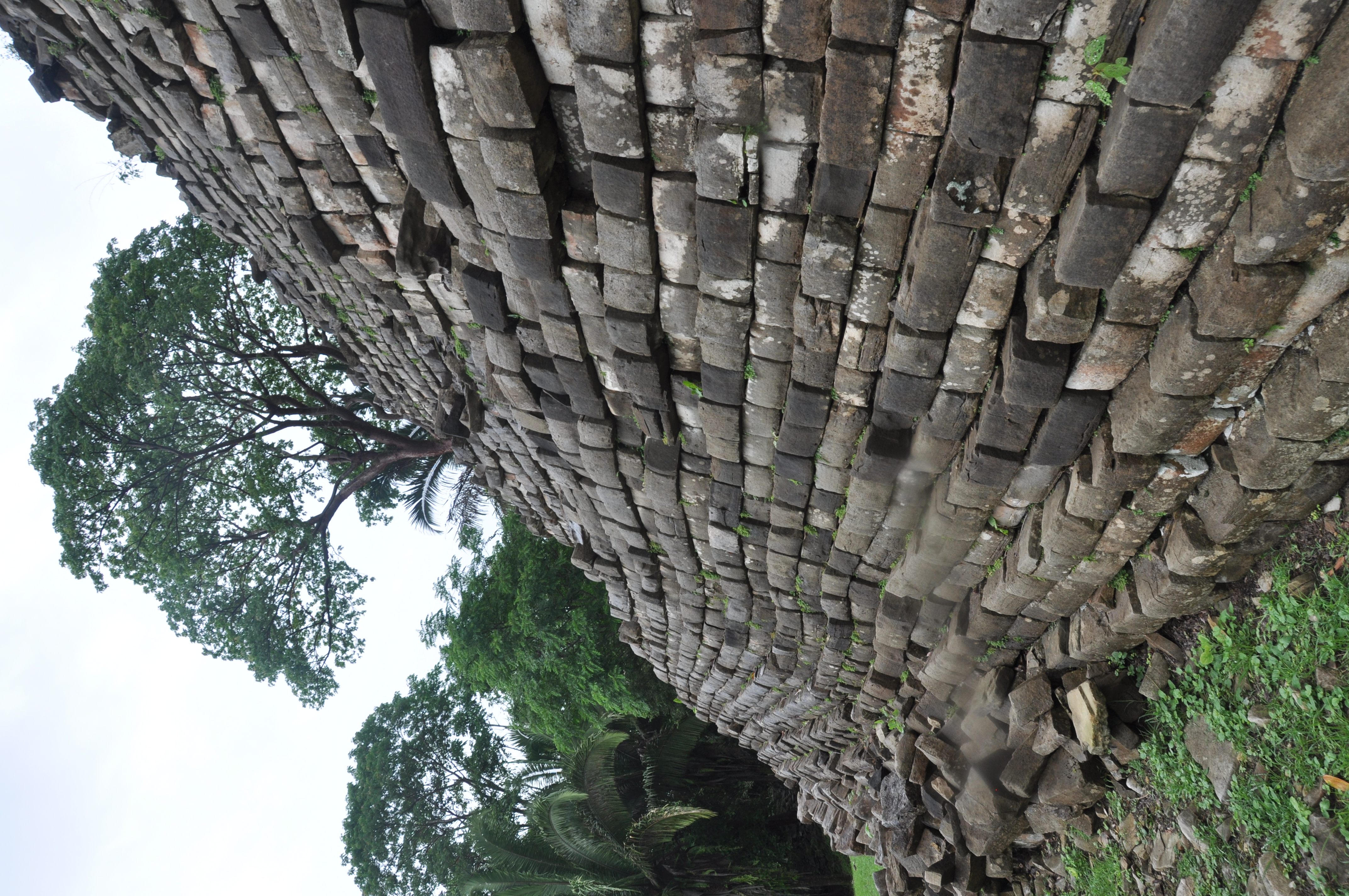
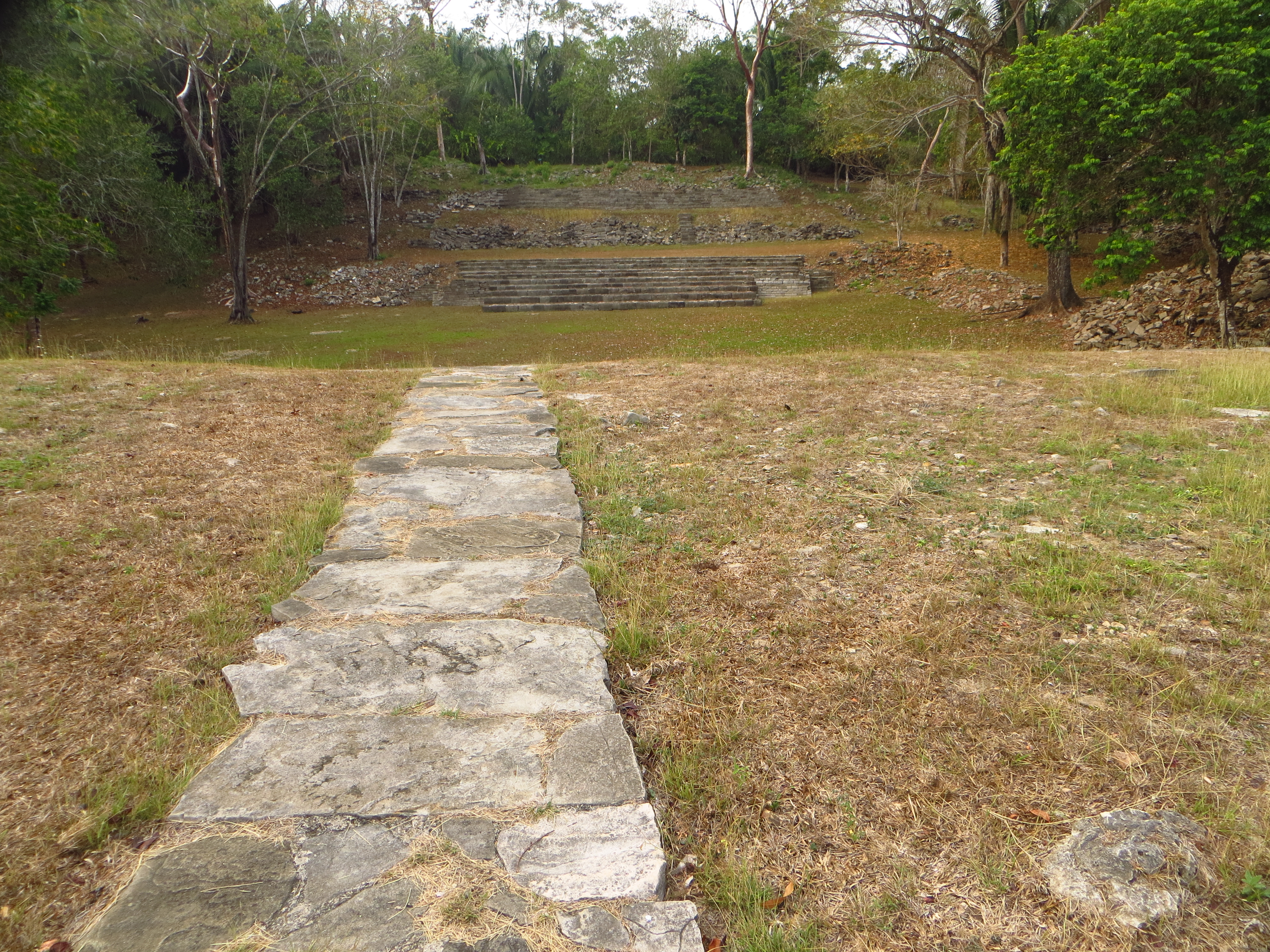
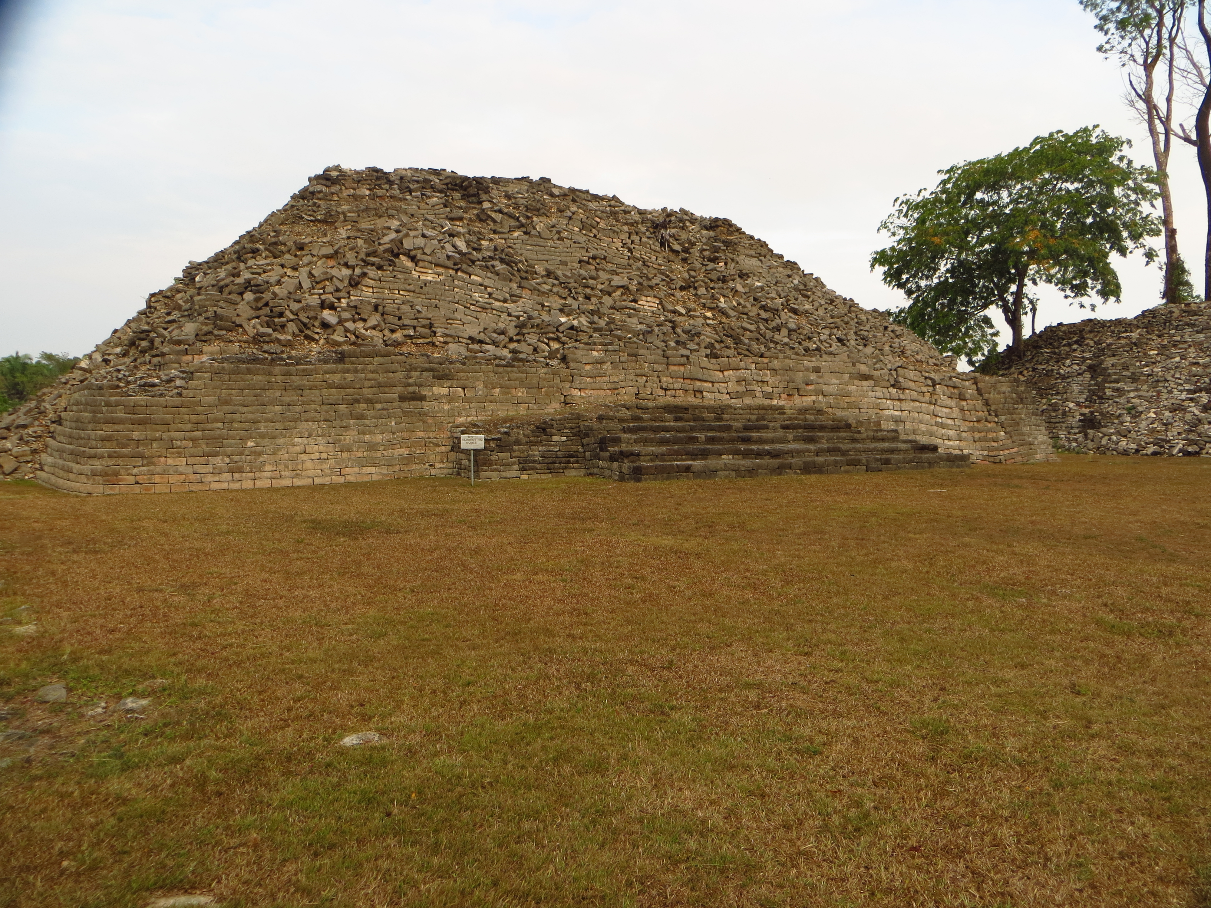
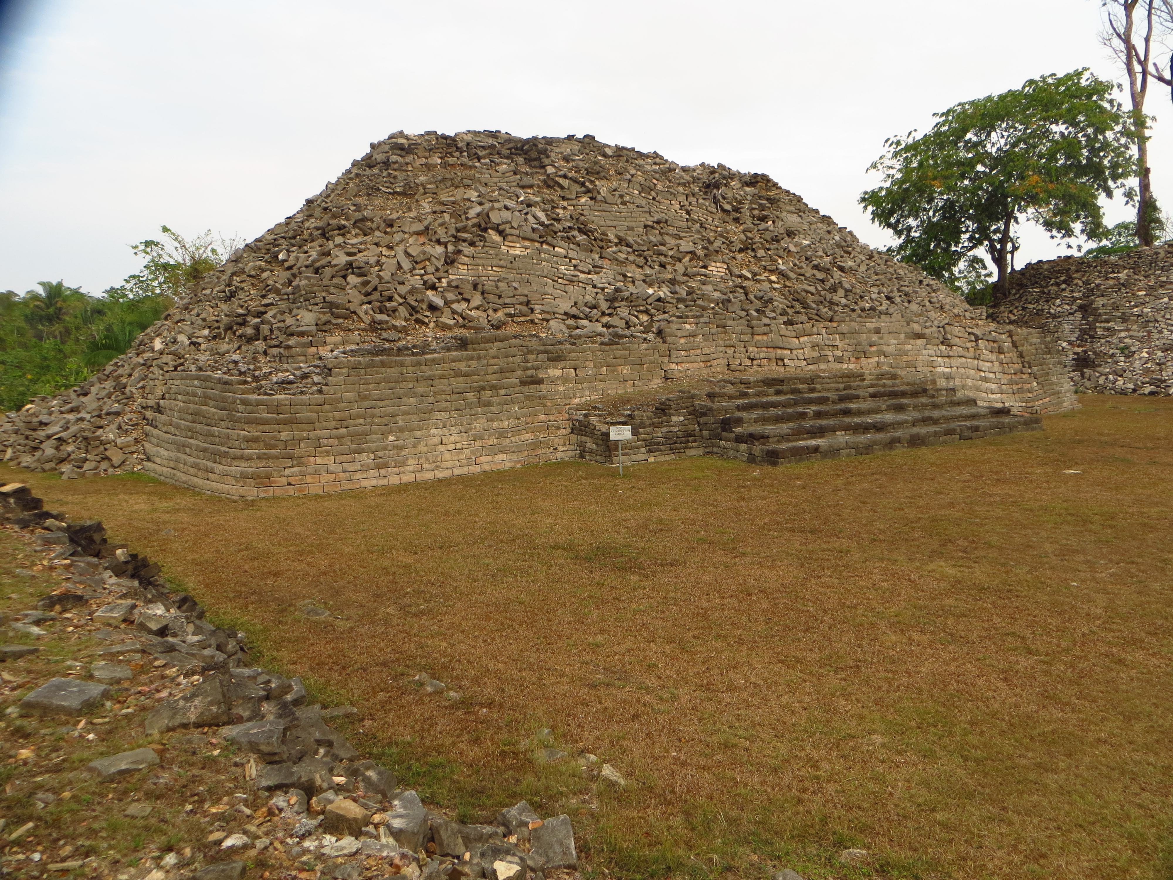
Sides of one stone Pyramid at Lubaantun
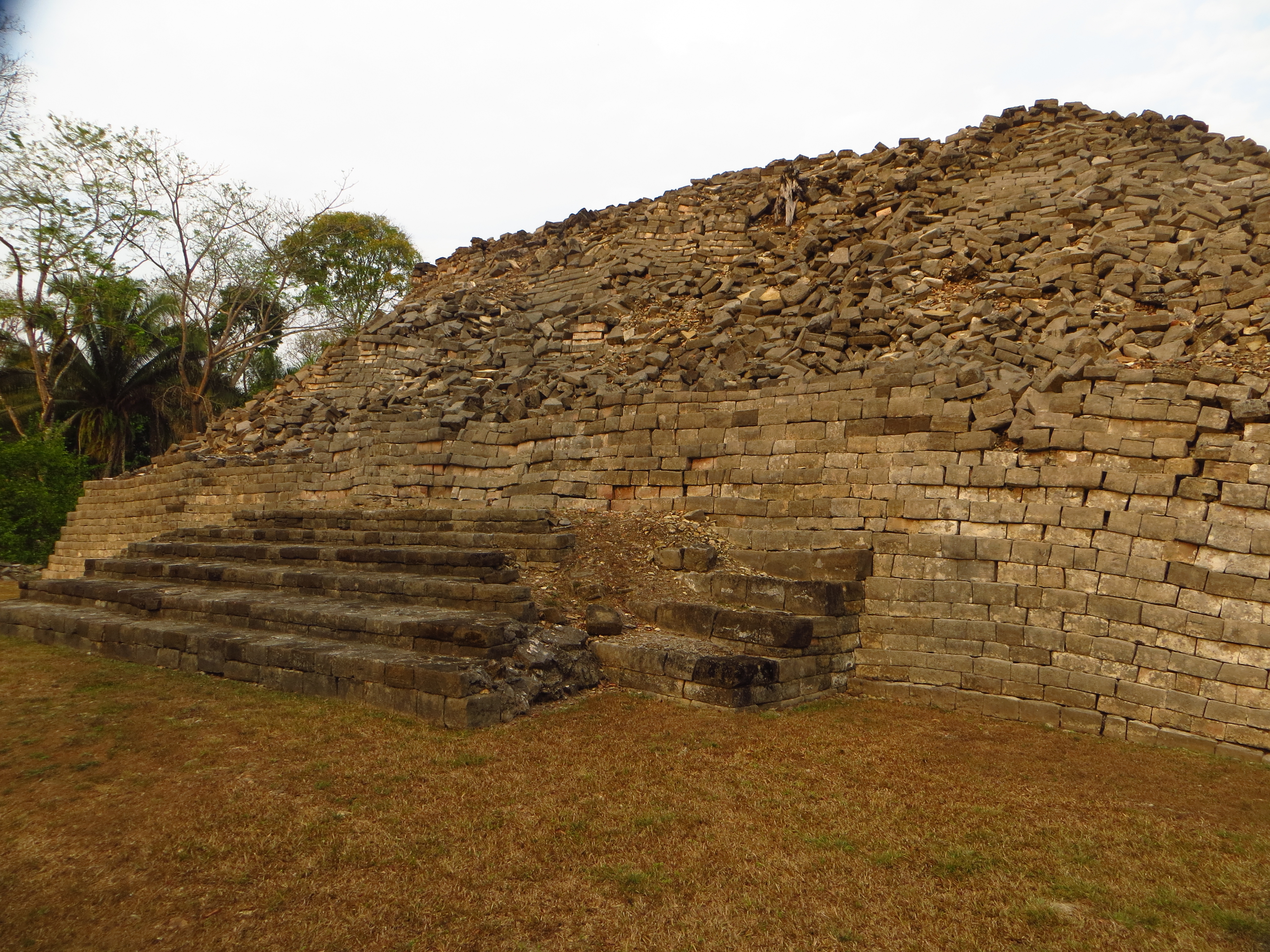
Mayan Site Lubaantun - Toledo District, Belize
IMG_6209[1]
IMG_6204[1]
IMG_6206[1]

crocs at the crocodille sanctuary
Topographic Map of Toledo District, Belize
Find elevation by address:

Places in Toledo District, Belize:
Places near Toledo District, Belize:
Recent Searches:
- Elevation of Corso Fratelli Cairoli, 35, Macerata MC, Italy
- Elevation of Tallevast Rd, Sarasota, FL, USA
- Elevation of 4th St E, Sonoma, CA, USA
- Elevation of Black Hollow Rd, Pennsdale, PA, USA
- Elevation of Oakland Ave, Williamsport, PA, USA
- Elevation of Pedrógão Grande, Portugal
- Elevation of Klee Dr, Martinsburg, WV, USA
- Elevation of Via Roma, Pieranica CR, Italy
- Elevation of Tavkvetili Mountain, Georgia
- Elevation of Hartfords Bluff Cir, Mt Pleasant, SC, USA