Elevation of San Antonio, Belize
Location: Belize > Toledo District >
Longitude: -89.023907
Latitude: 16.2455681
Elevation: 97m / 318feet
Barometric Pressure: 100KPa
Elevation Map:
Satellite Map:
Related Photos:
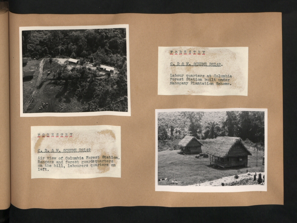
CO 1069-259-27
The Aguacaliente Lagoon is located near Laguna Village. The protected area consists of a wetland ecosystem that spans over 6,000 acres. Nearby limestone hills are home to many species of birds, animals, and other wildlife. The lagoon is especially a bird
Swimming Hole (bw)
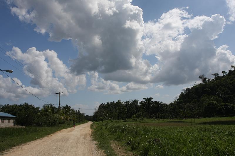
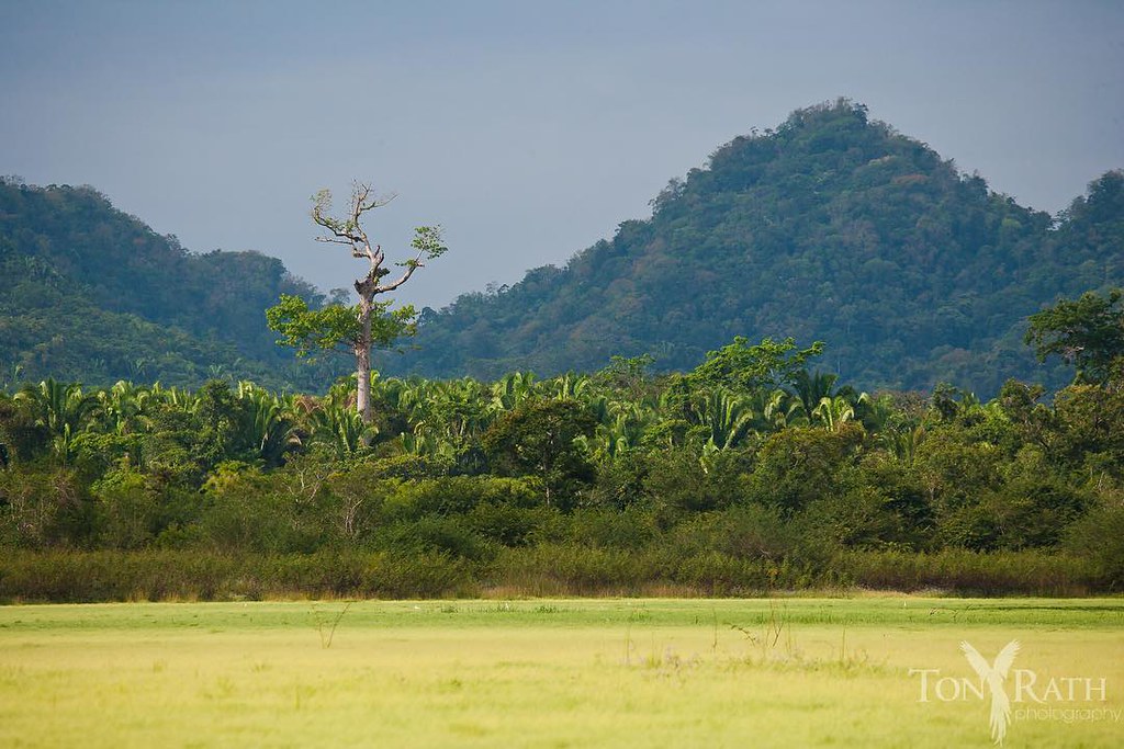
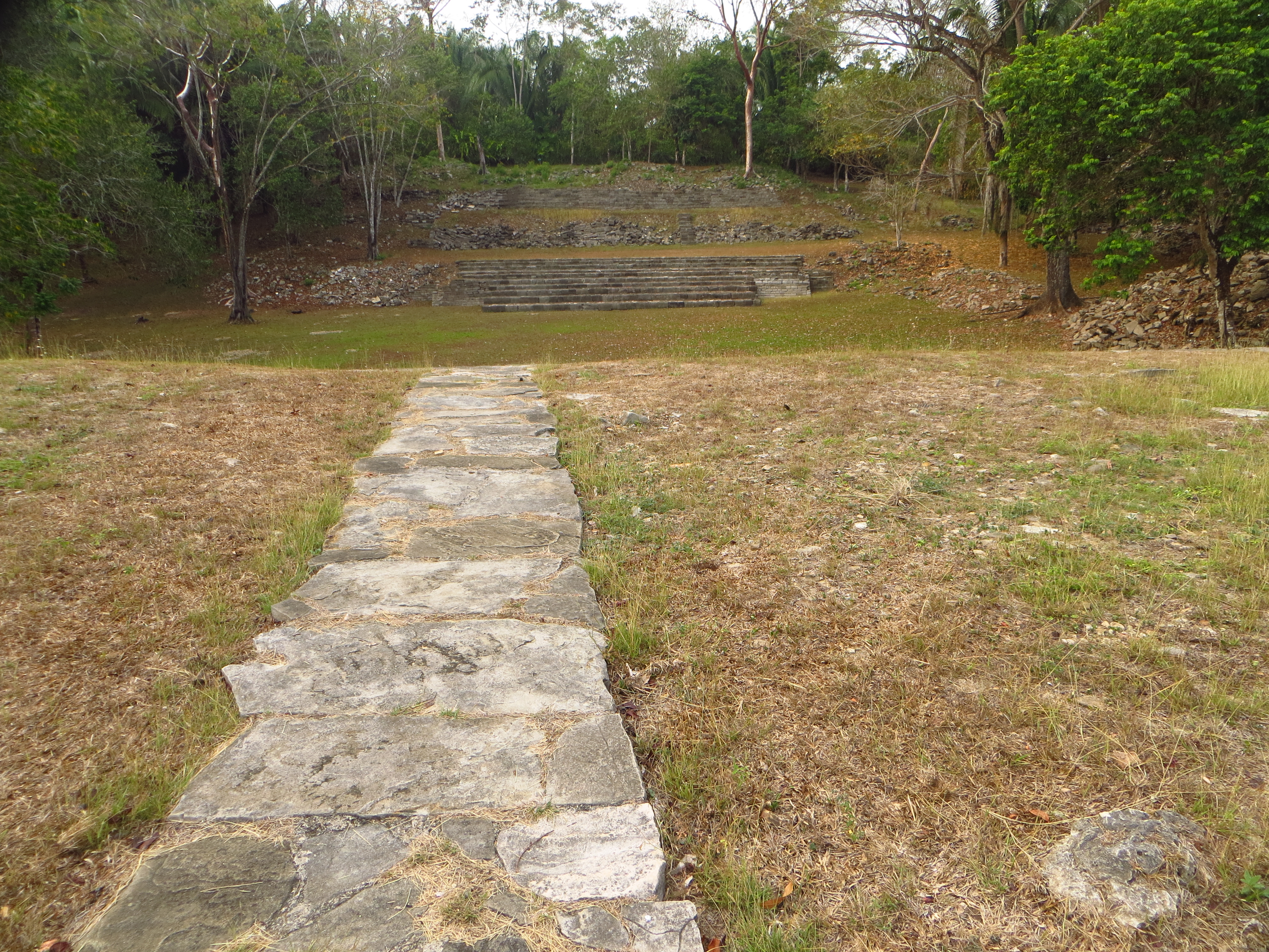
Big Sky Mayan Country
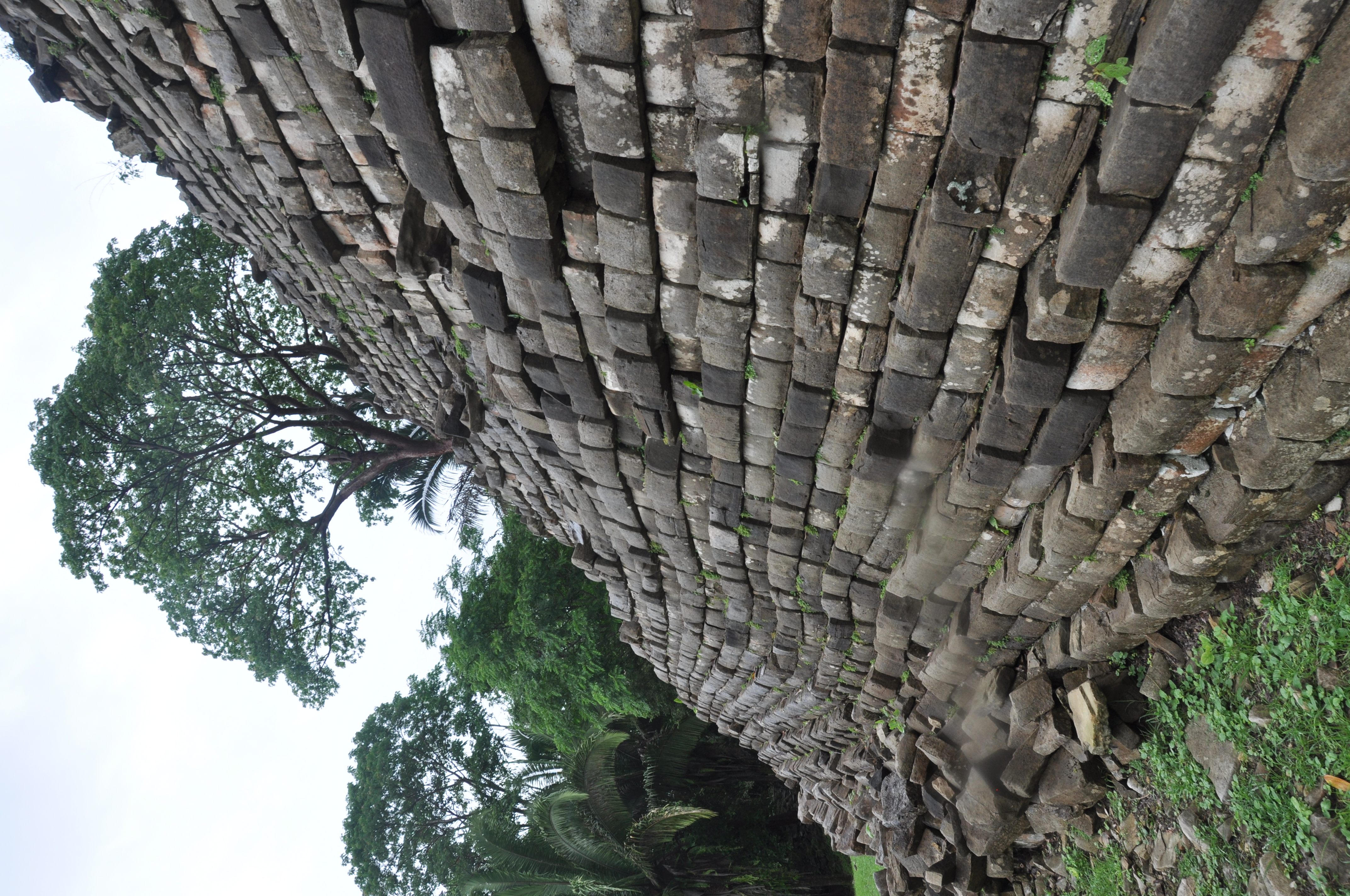
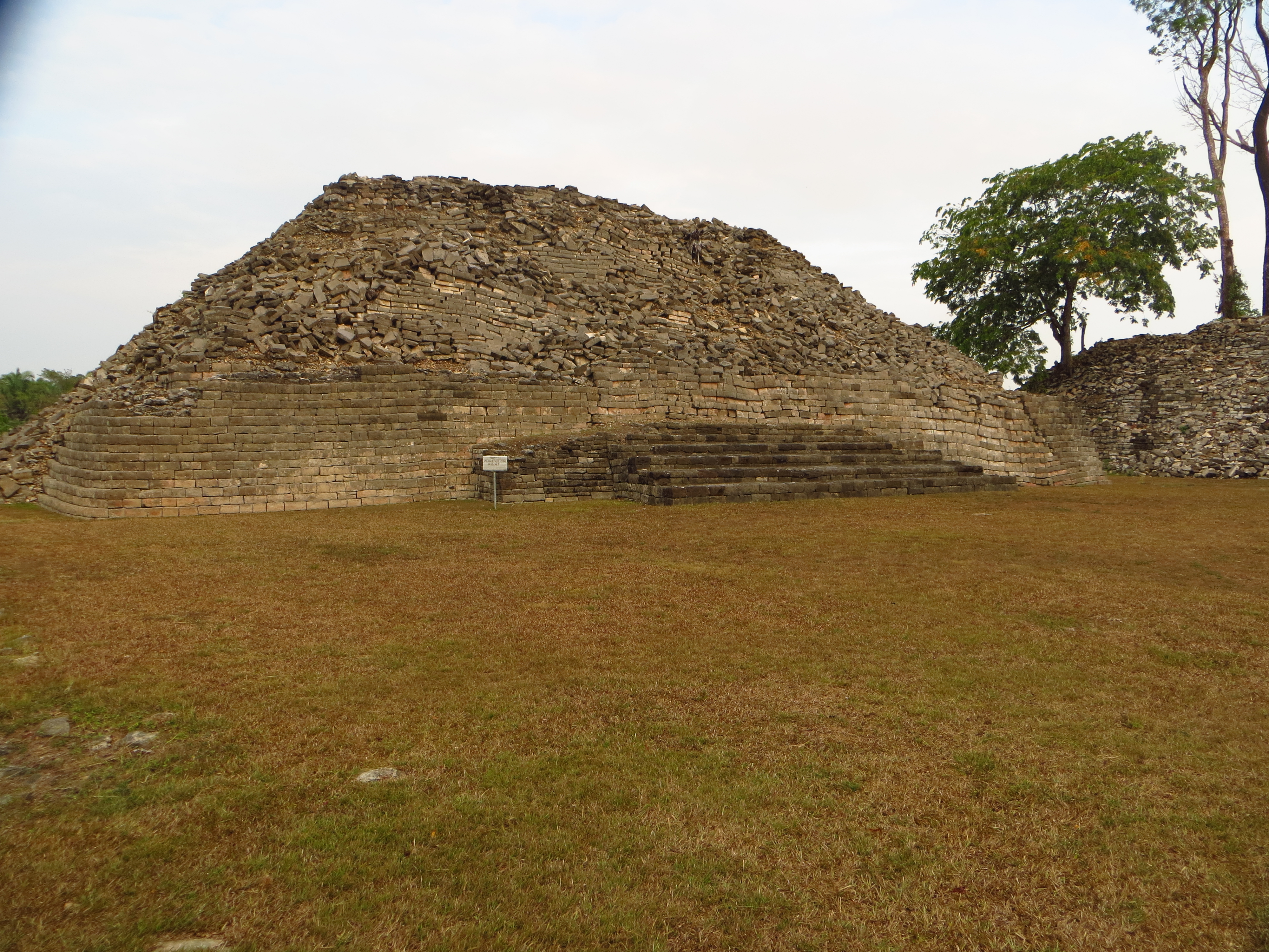
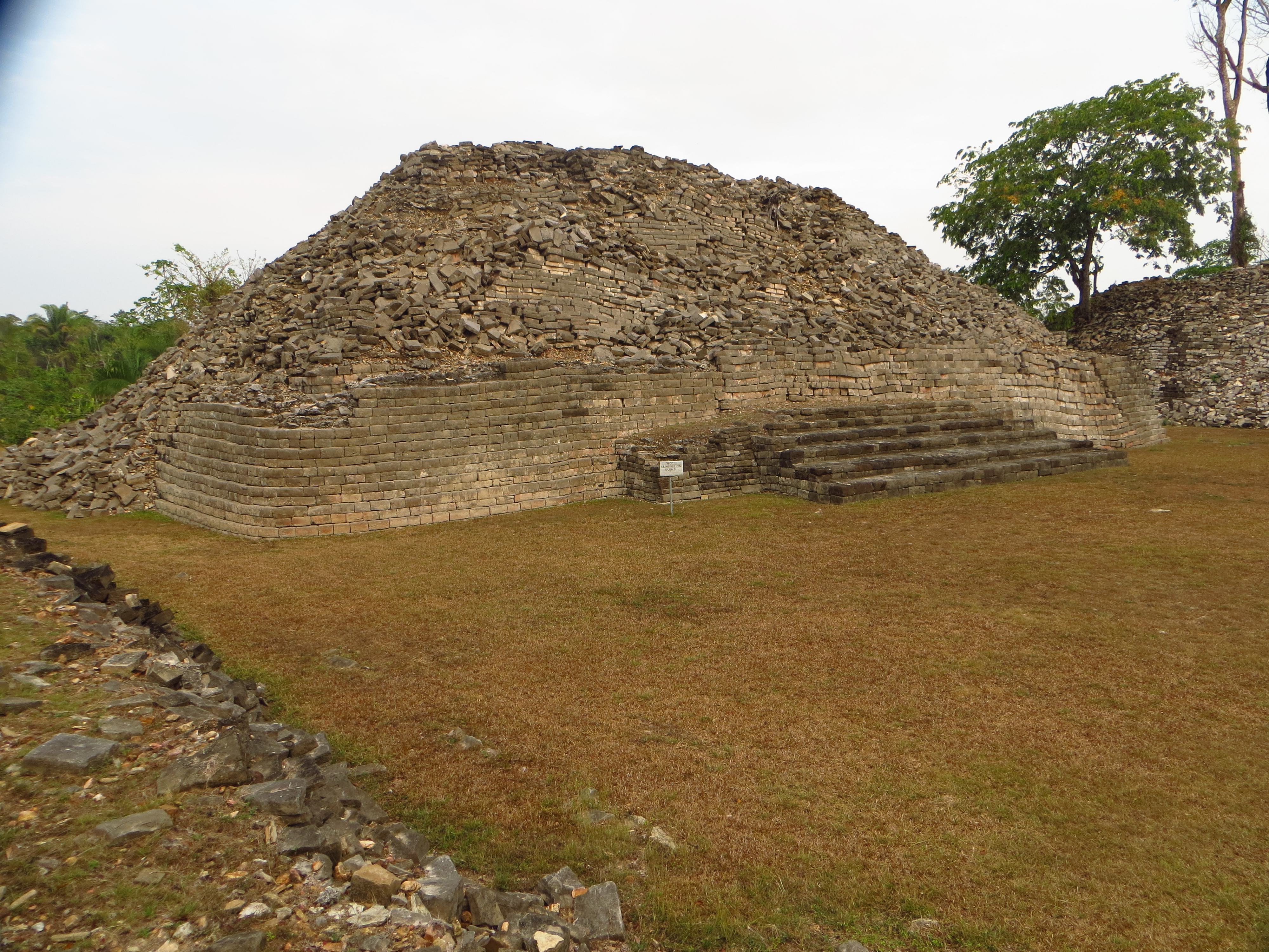
Sides of one stone Pyramid at Lubaantun
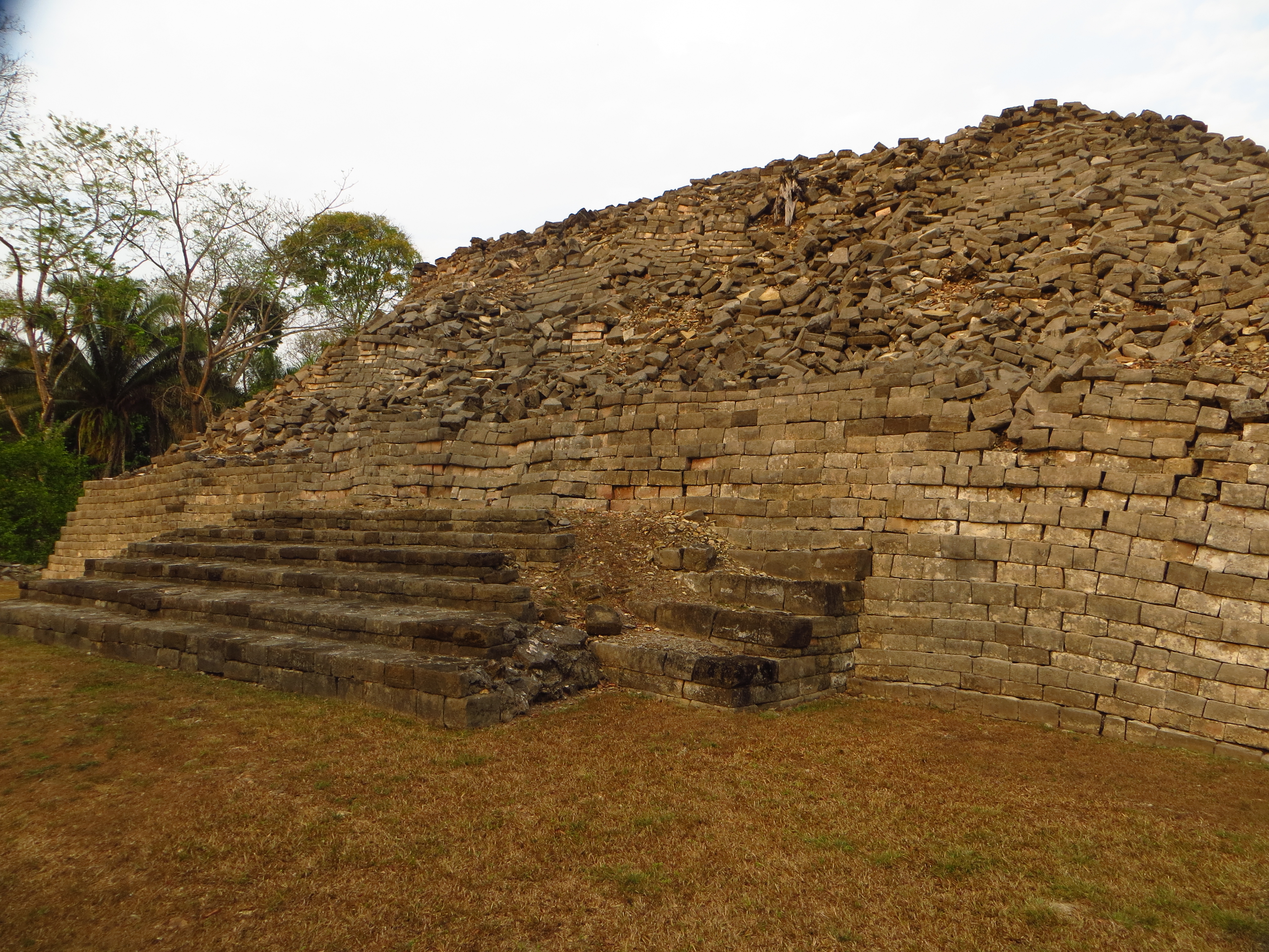
Mayan Site Lubaantun - Toledo District, Belize
IMG_6209[1]
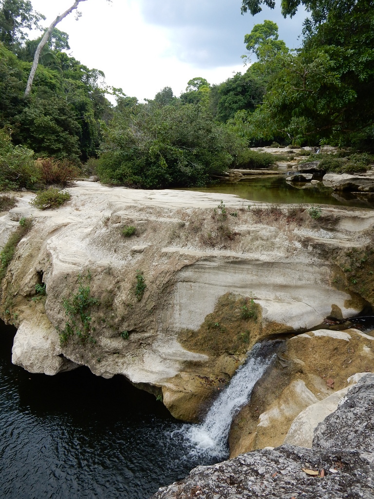
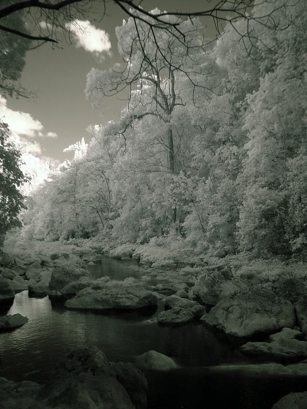
Rio Blanco National Park - 2
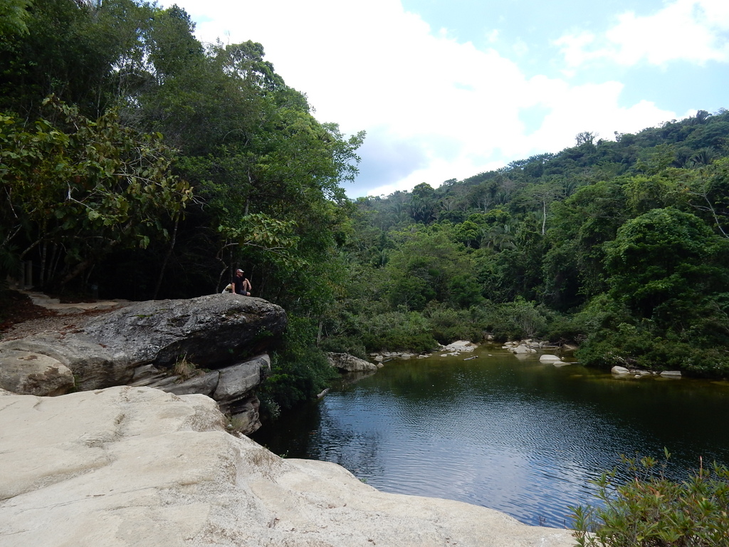
Rio Blanco National Park - 1
IMG_6204[1]
IMG_6206[1]
Topographic Map of San Antonio, Belize
Find elevation by address:

Places near San Antonio, Belize:
Recent Searches:
- Elevation of Vista Blvd, Sparks, NV, USA
- Elevation of 15th Ave SE, St. Petersburg, FL, USA
- Elevation of Beall Road, Beall Rd, Florida, USA
- Elevation of Leguwa, Nepal
- Elevation of County Rd, Enterprise, AL, USA
- Elevation of Kolchuginsky District, Vladimir Oblast, Russia
- Elevation of Shustino, Vladimir Oblast, Russia
- Elevation of Lampiasi St, Sarasota, FL, USA
- Elevation of Elwyn Dr, Roanoke Rapids, NC, USA
- Elevation of Congressional Dr, Stevensville, MD, USA