Elevation of TN-, Vonore, TN, USA
Location: United States > Tennessee > Monroe County > Vonore >
Longitude: -84.193391
Latitude: 35.524983
Elevation: 254m / 833feet
Barometric Pressure: 98KPa
Elevation Map:
Satellite Map:
Related Photos:

Bridge over Citico Creek

Monroe County, TN Courthouse - Madisonville, TN

near Miller St & Fowler St
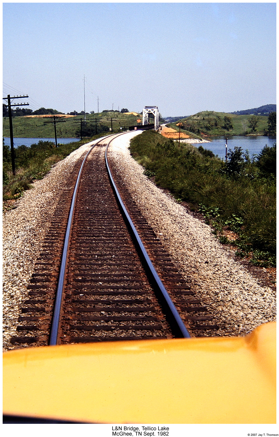
L&N Tellico Lake Bridge
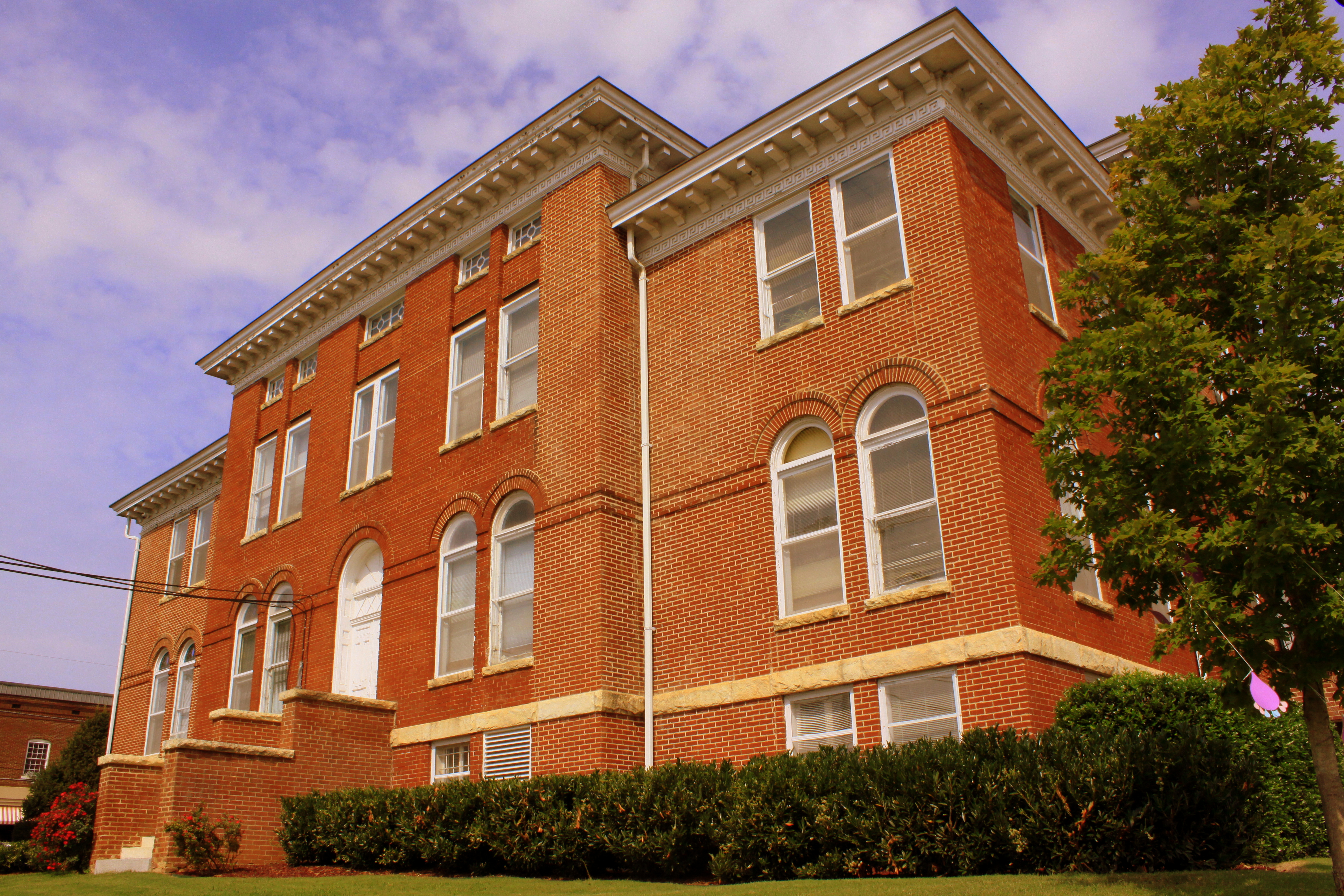
Monroe County Courthouse Side View - Madisonville, TN
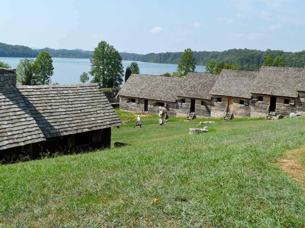
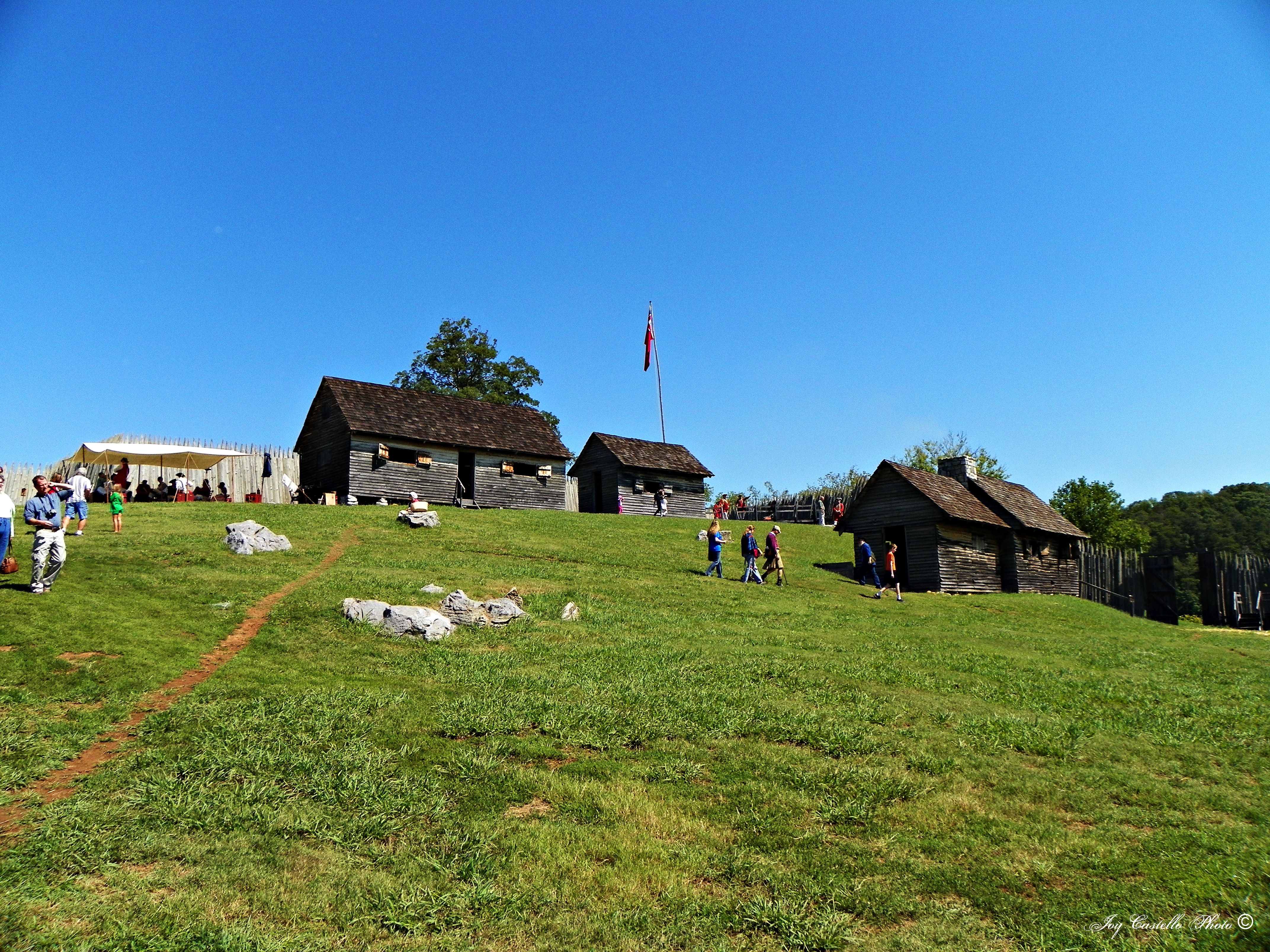
View from the fort
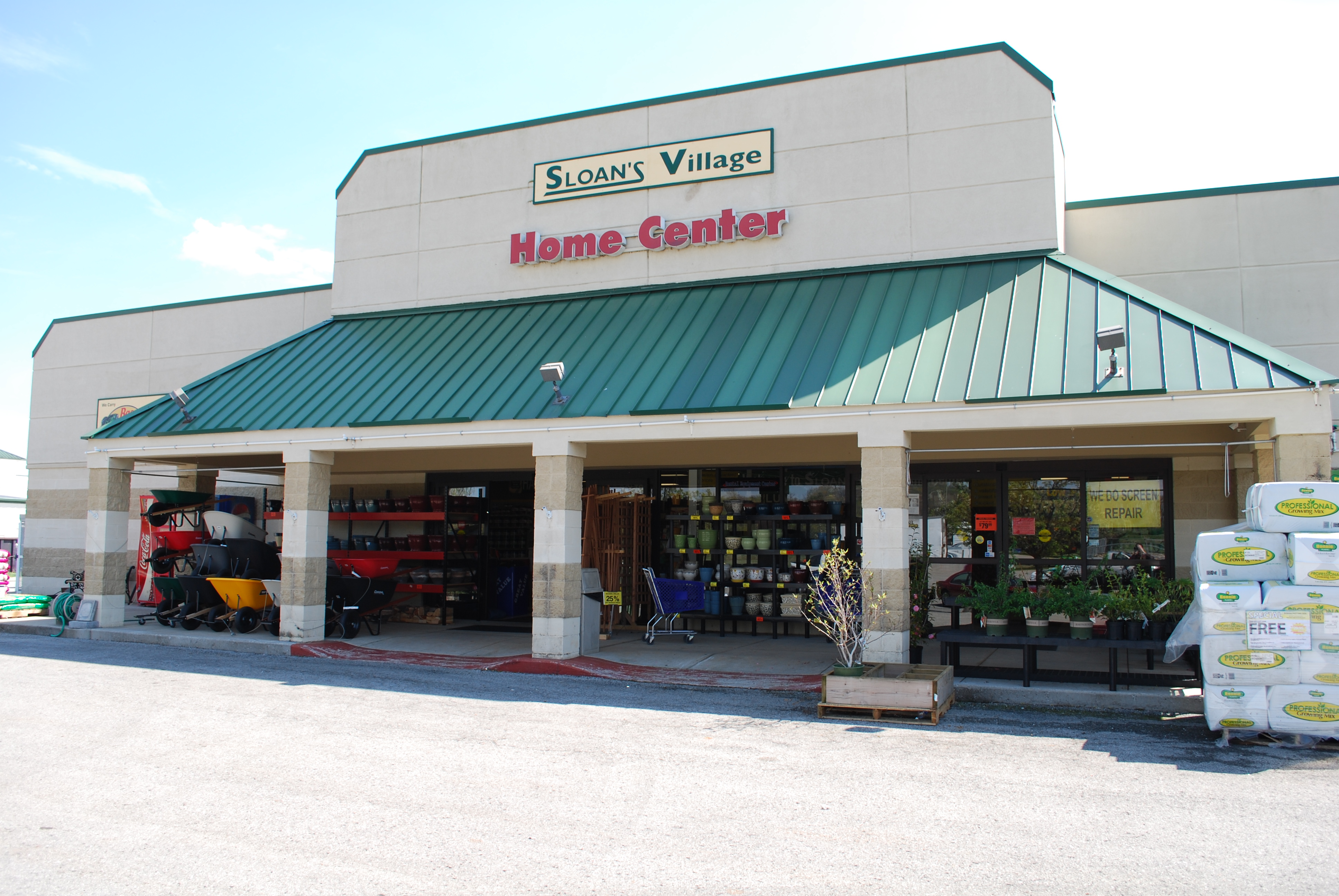
Sloan Hardware -A TRADITION OF RETAIL
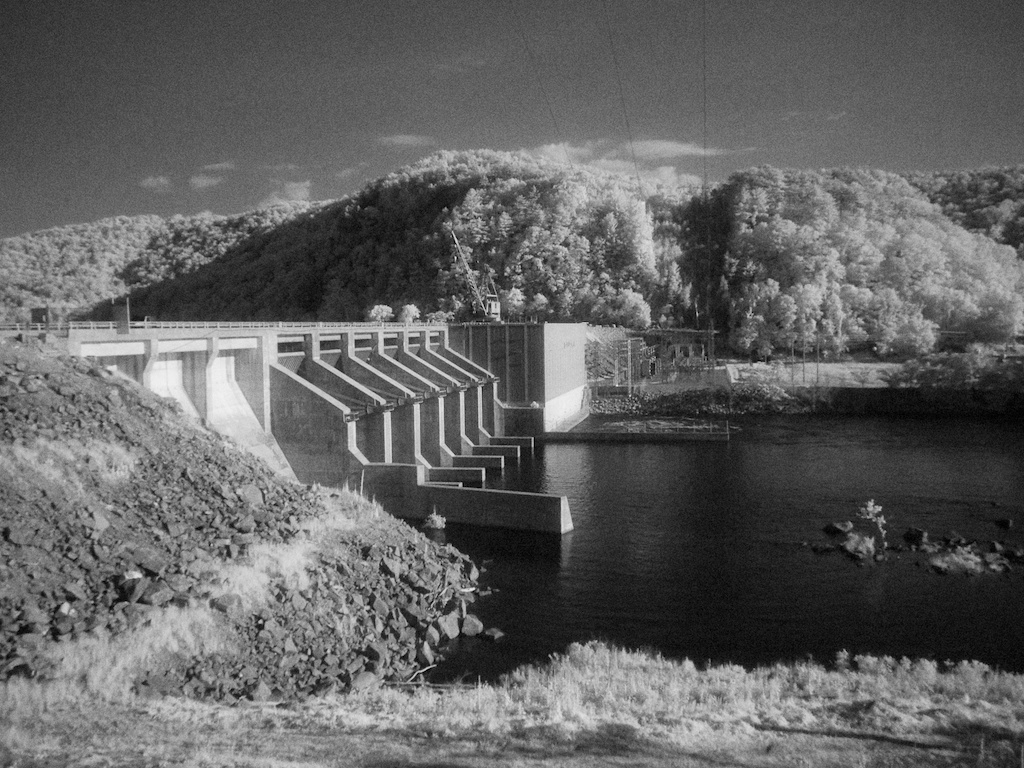
Chilhowee dam
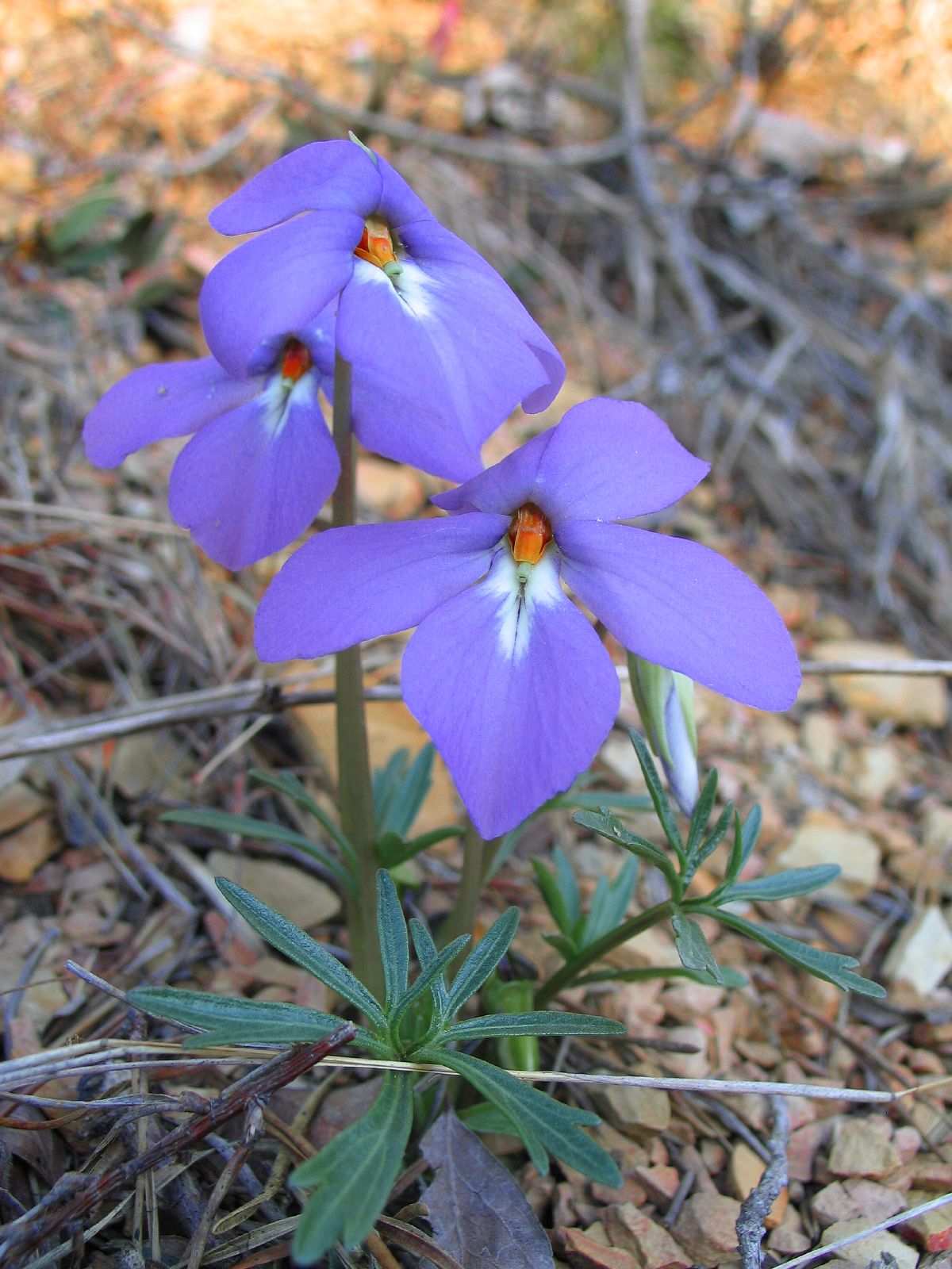
Birdsfoot Violet 137_3721.jpg

Jump In!
A View of the Fort's Interior
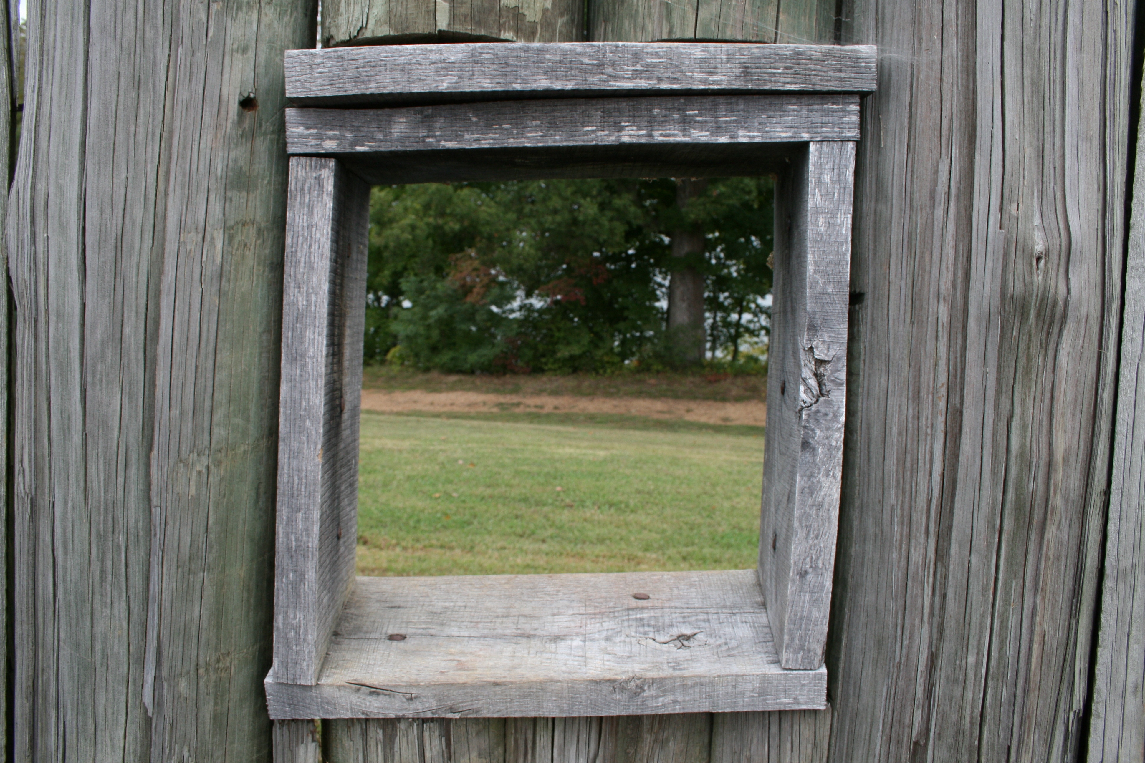
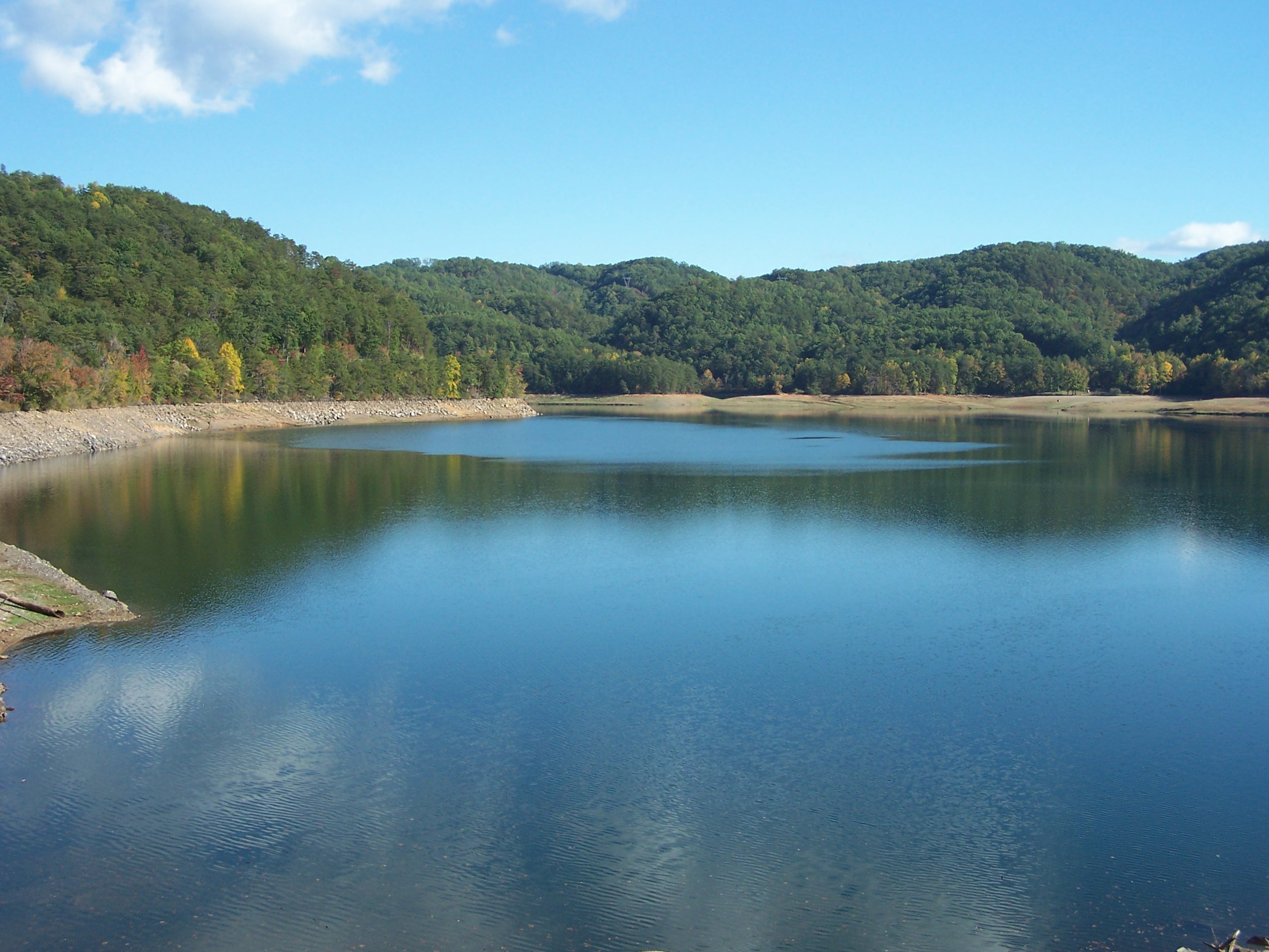
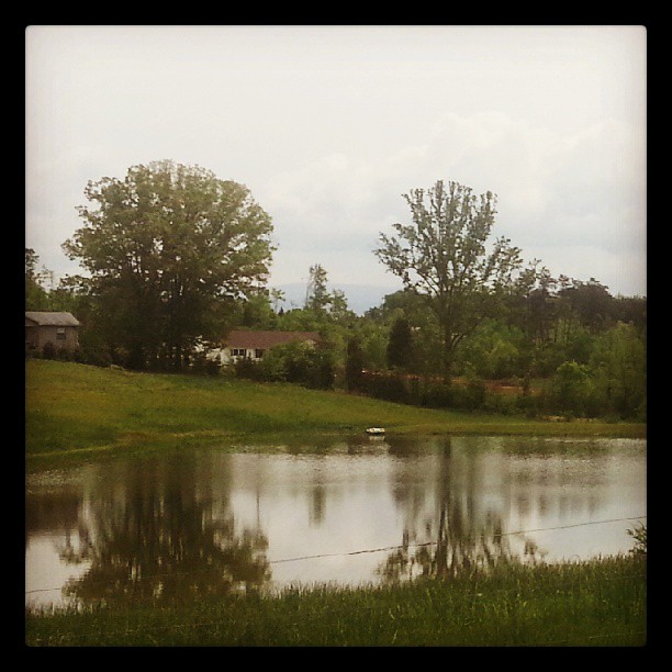
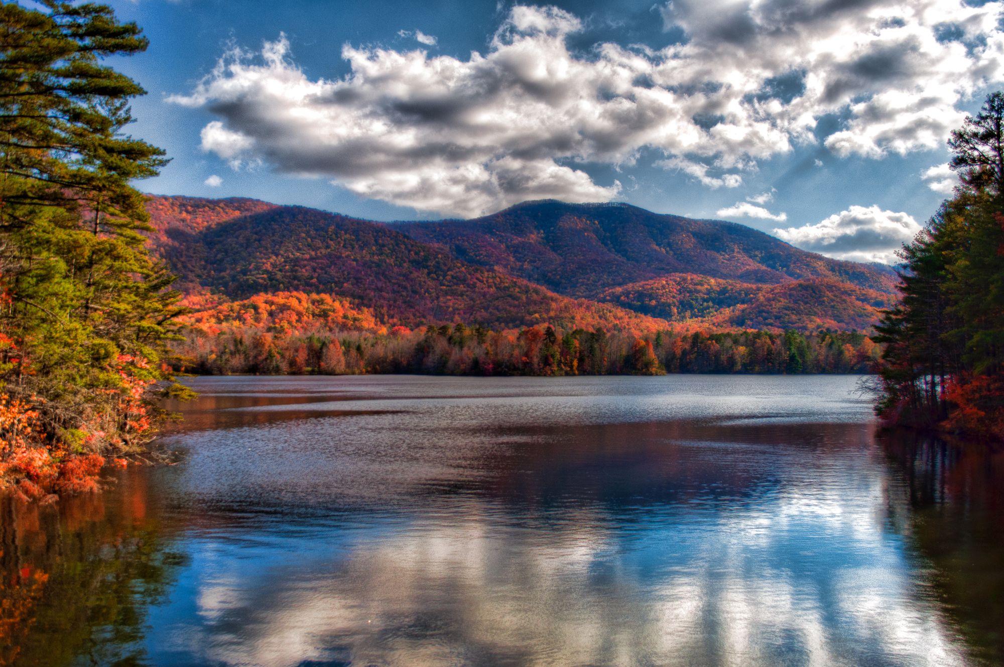
A View of the Lake
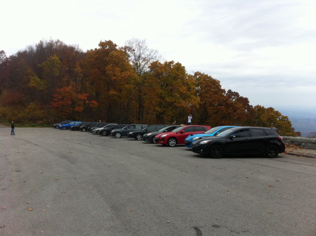
View from the top of the skyway
Fort Loudon view
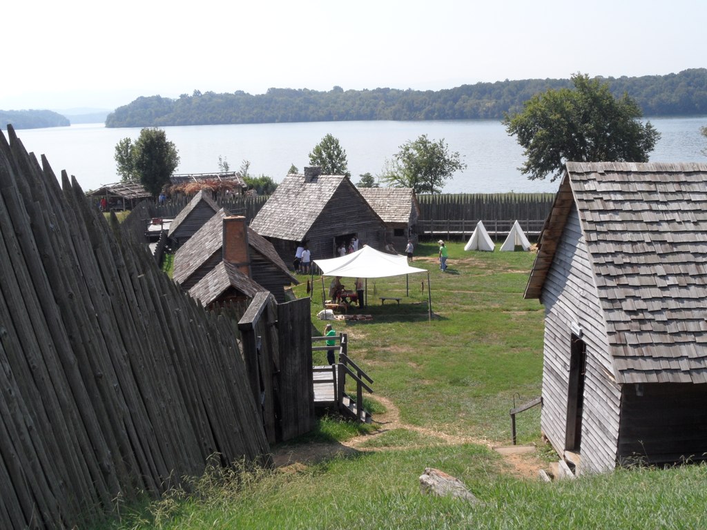
Fort Loudon view 2
Chillhowee Drawdown

This Bird Has Flown
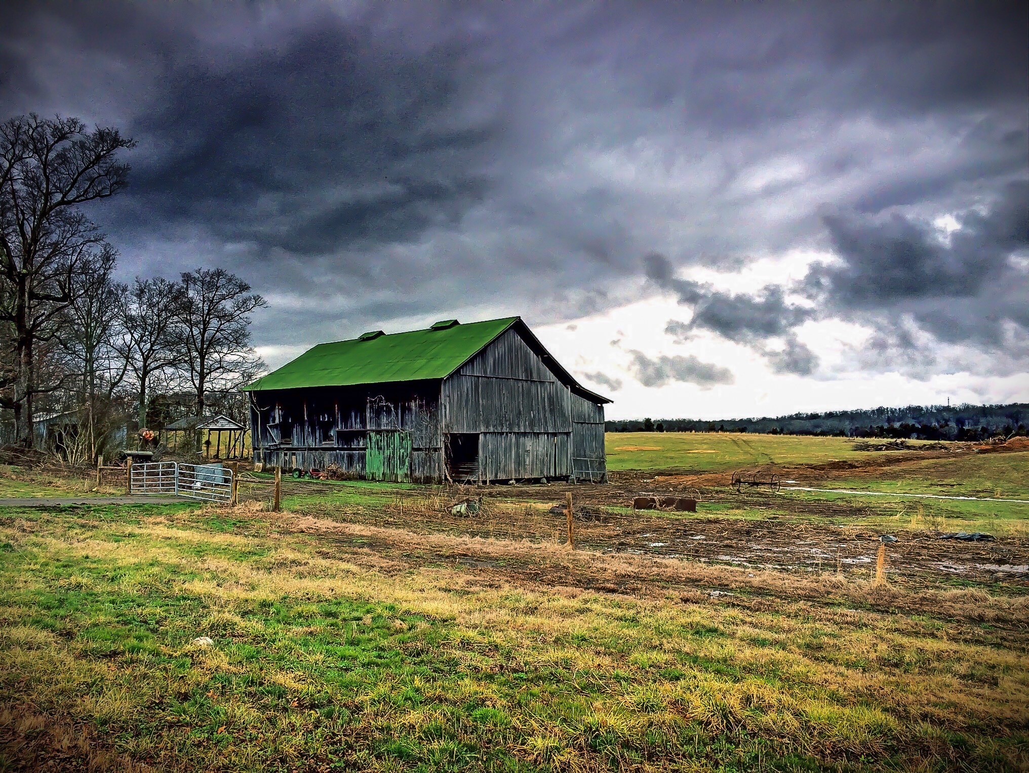
Barn on Hwy 411
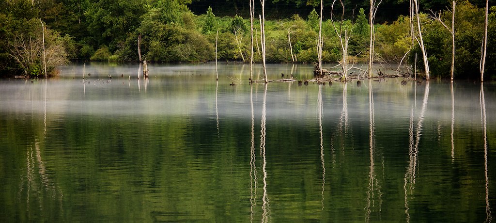
Emerald reflection
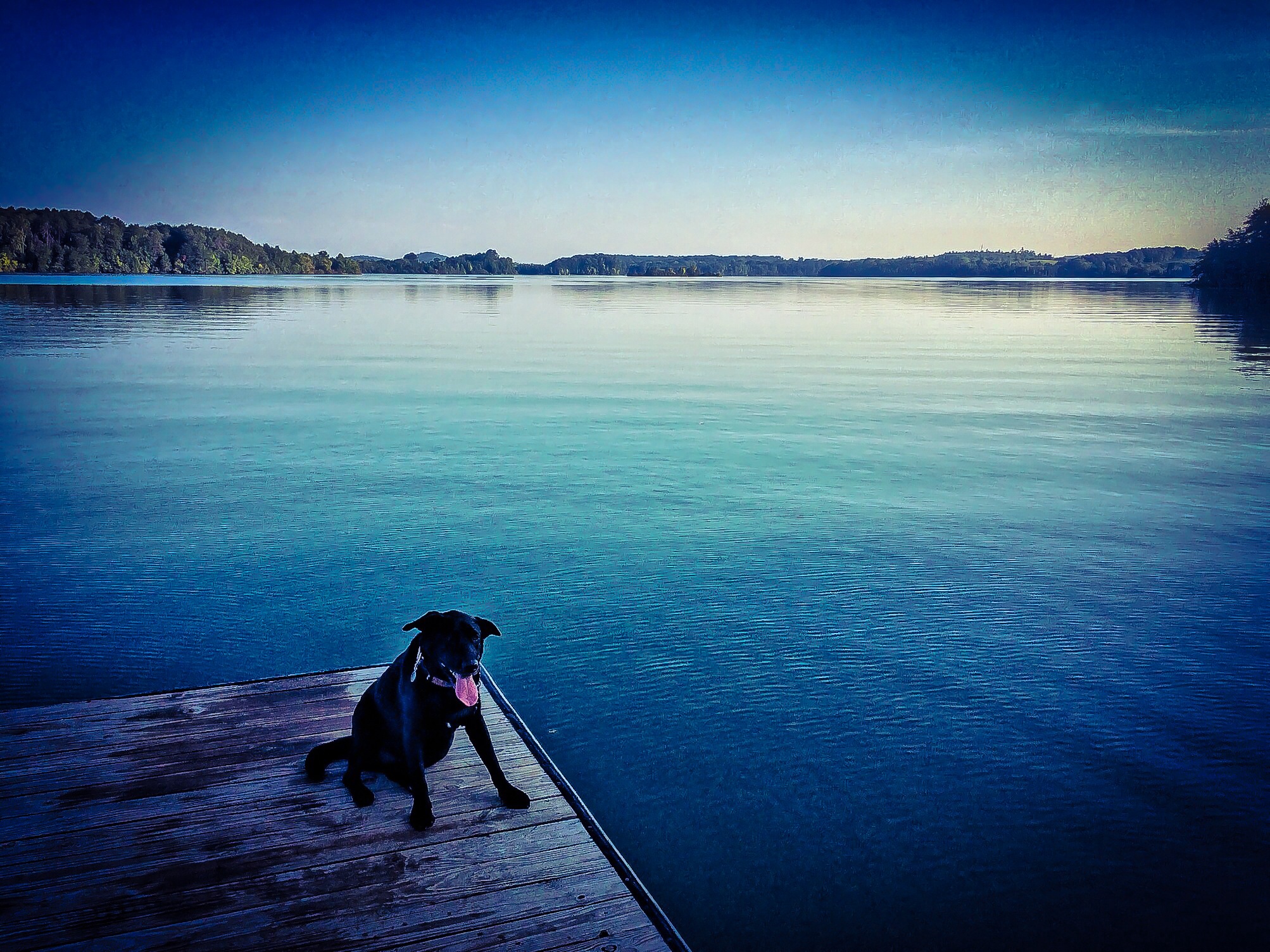
Sittin' on the Dock of the Bay

2011-11-08 06.55.48

2011-10-14 05.29.22

Freedom of Choice
Cherokee Natl Forest - Indian Boundary Lake

IMG_0599.jpg
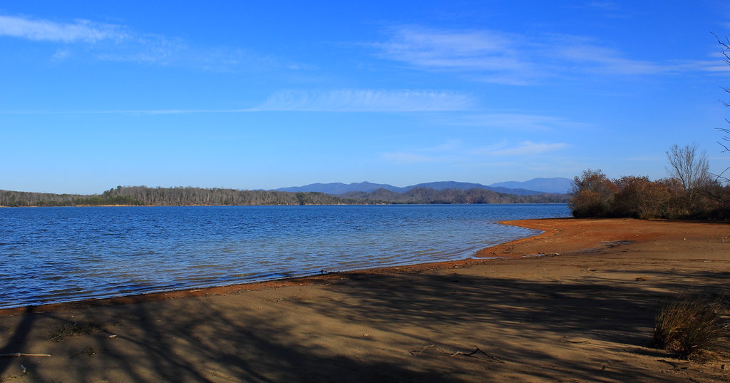
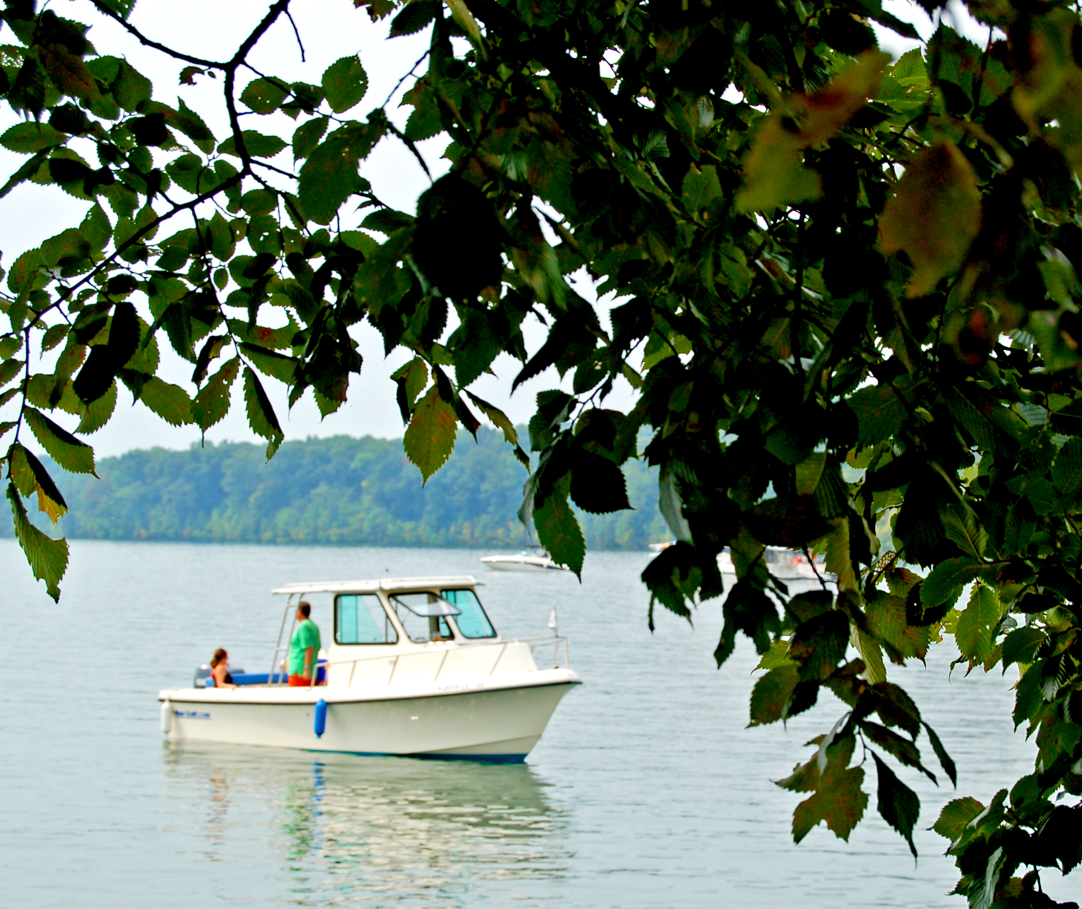
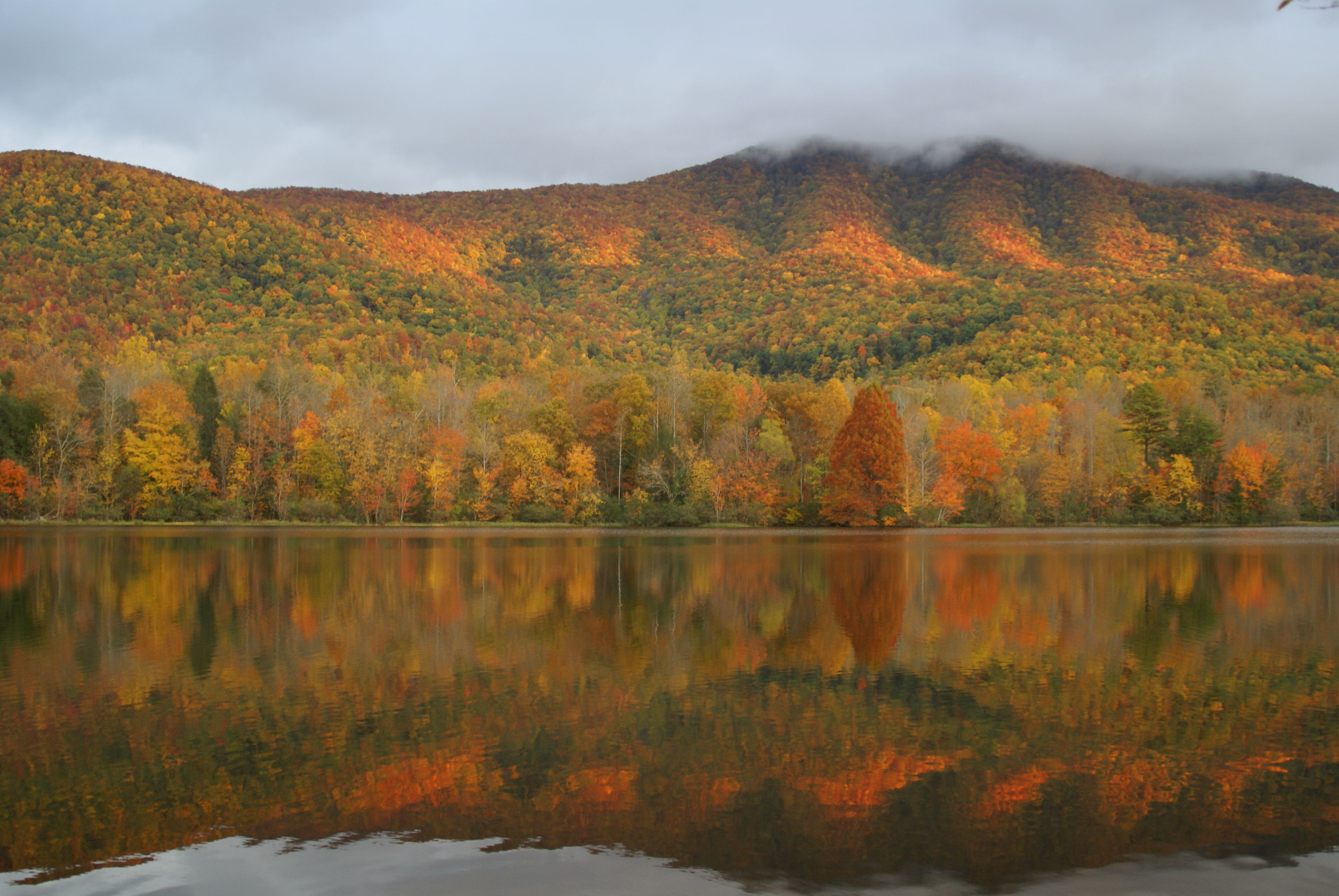
Tellico Lake Shore
Indian Boundary Lake
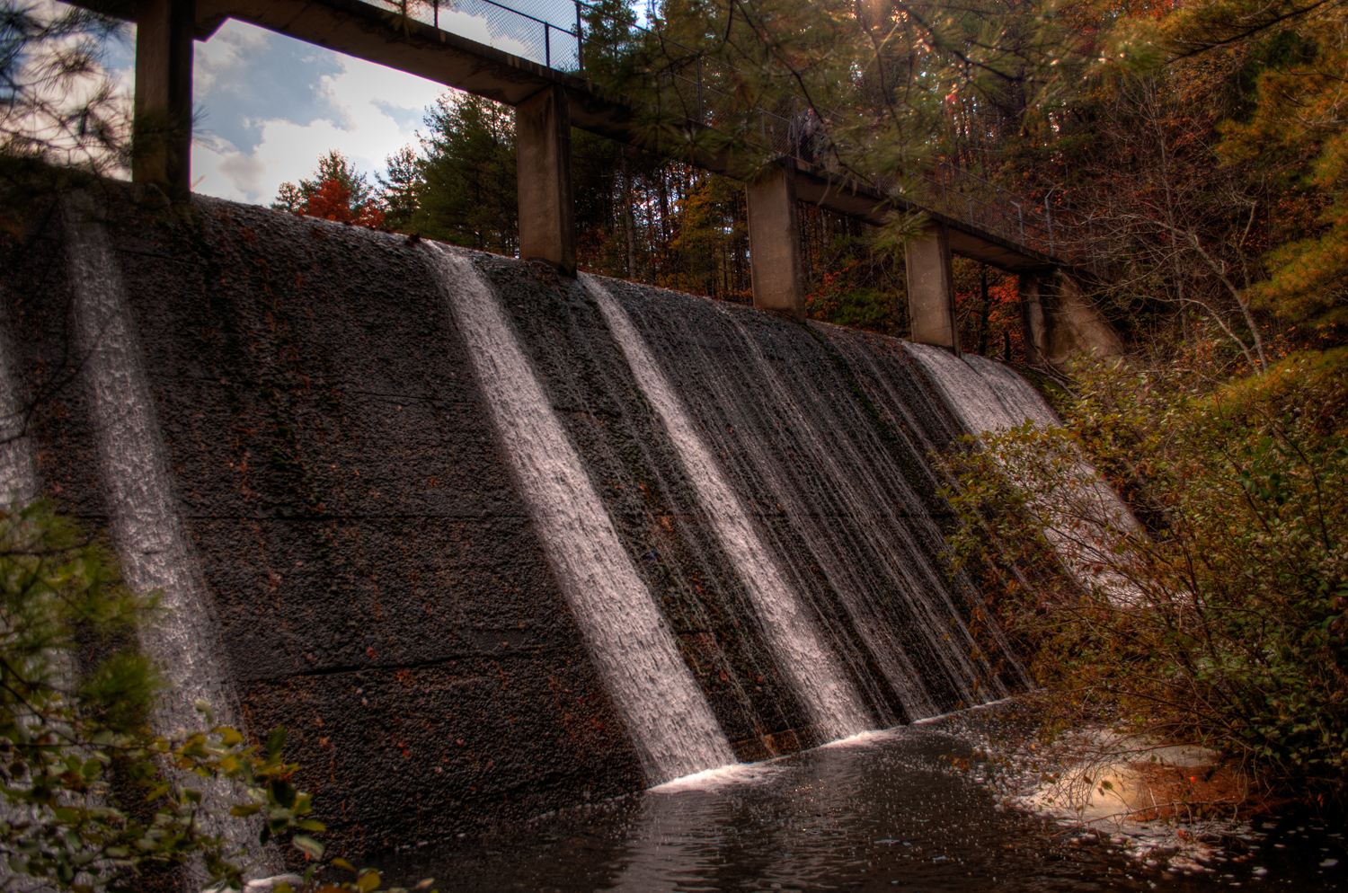
Bottom of the Dam
IMG_0408.jpg

The Kiss/Rocket
Tail of the Dragon 02
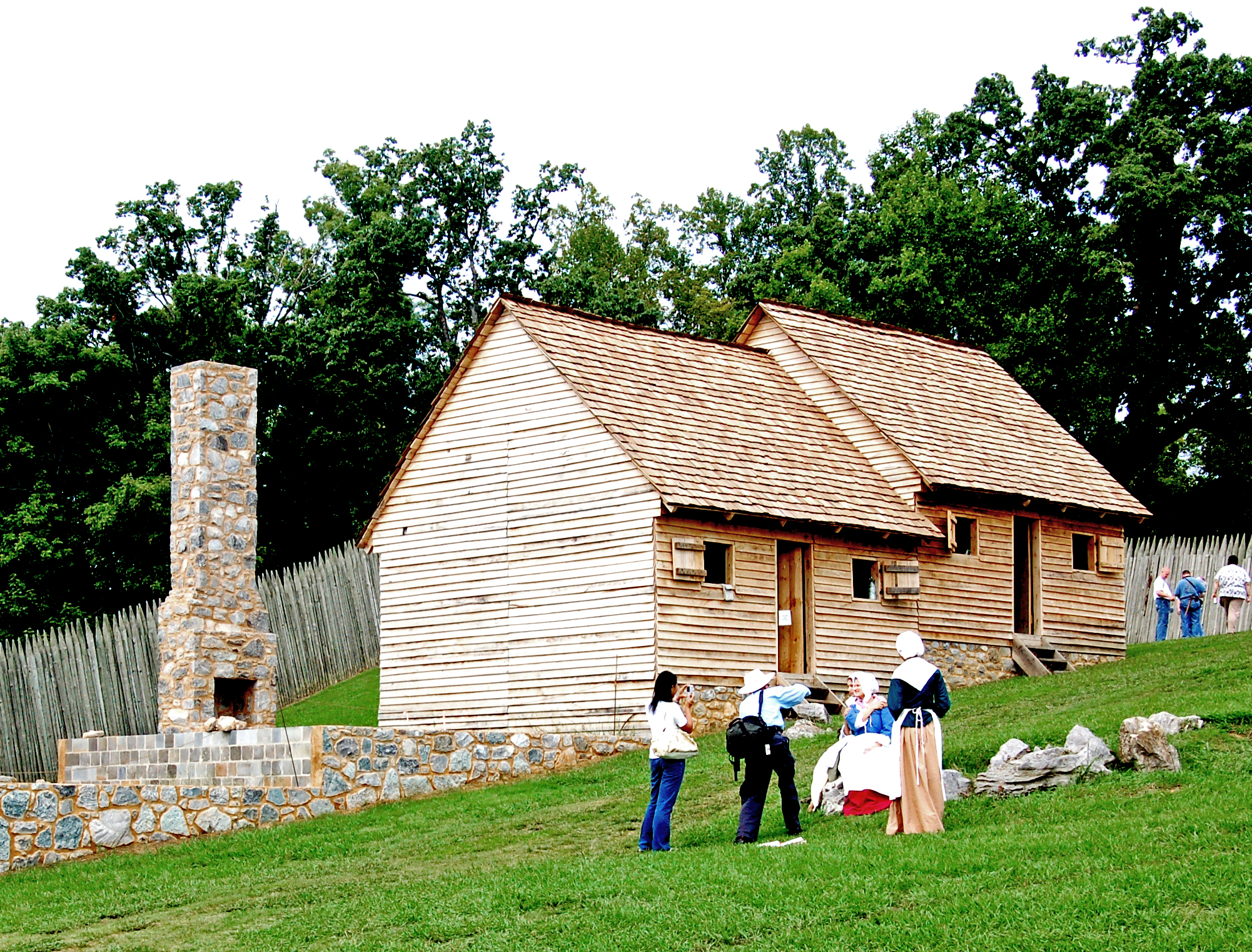
Fort Loudoun 18th Century Trade Faire

Dreaming of Trees
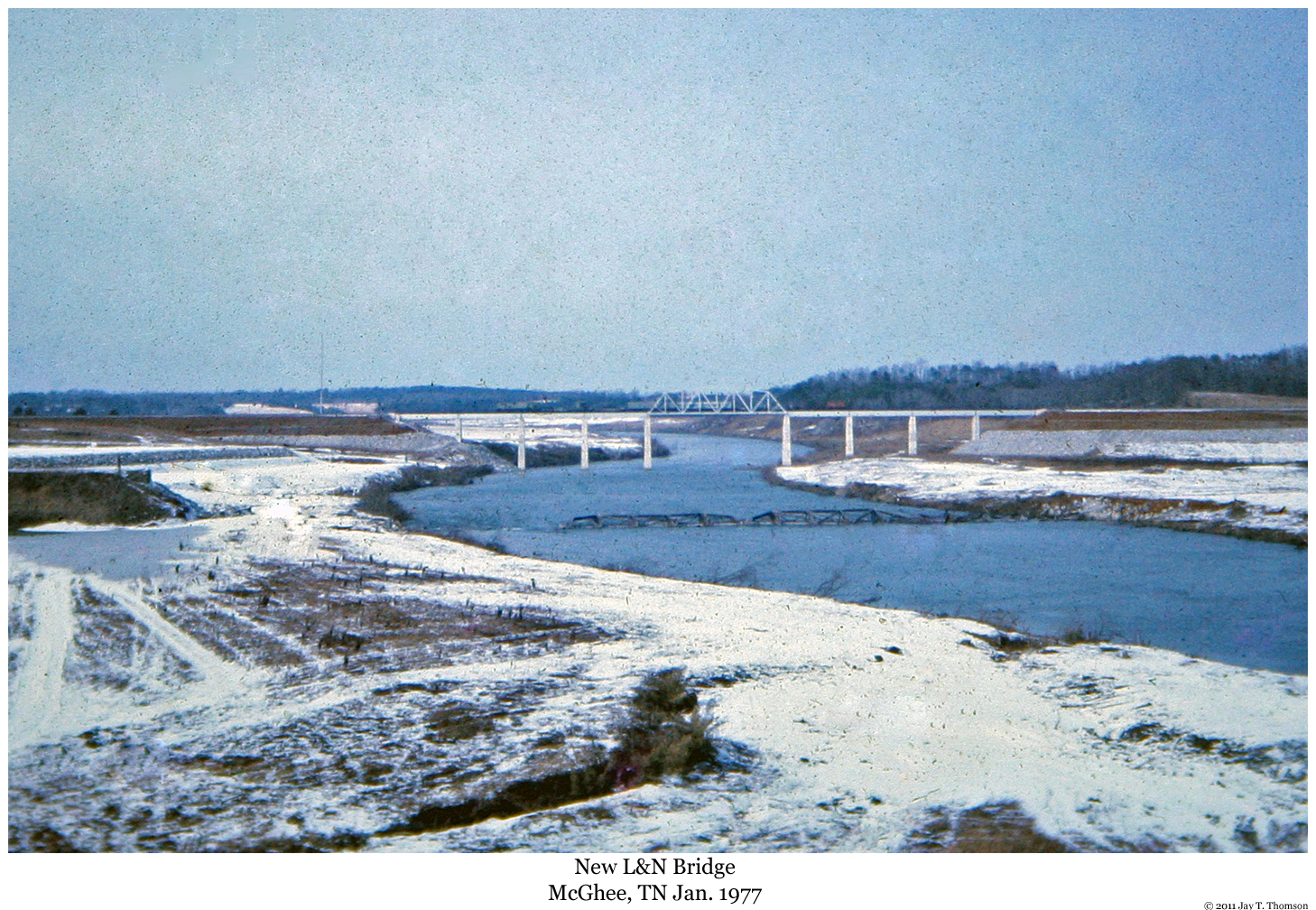
New L&N Bridge at McGhee, TN
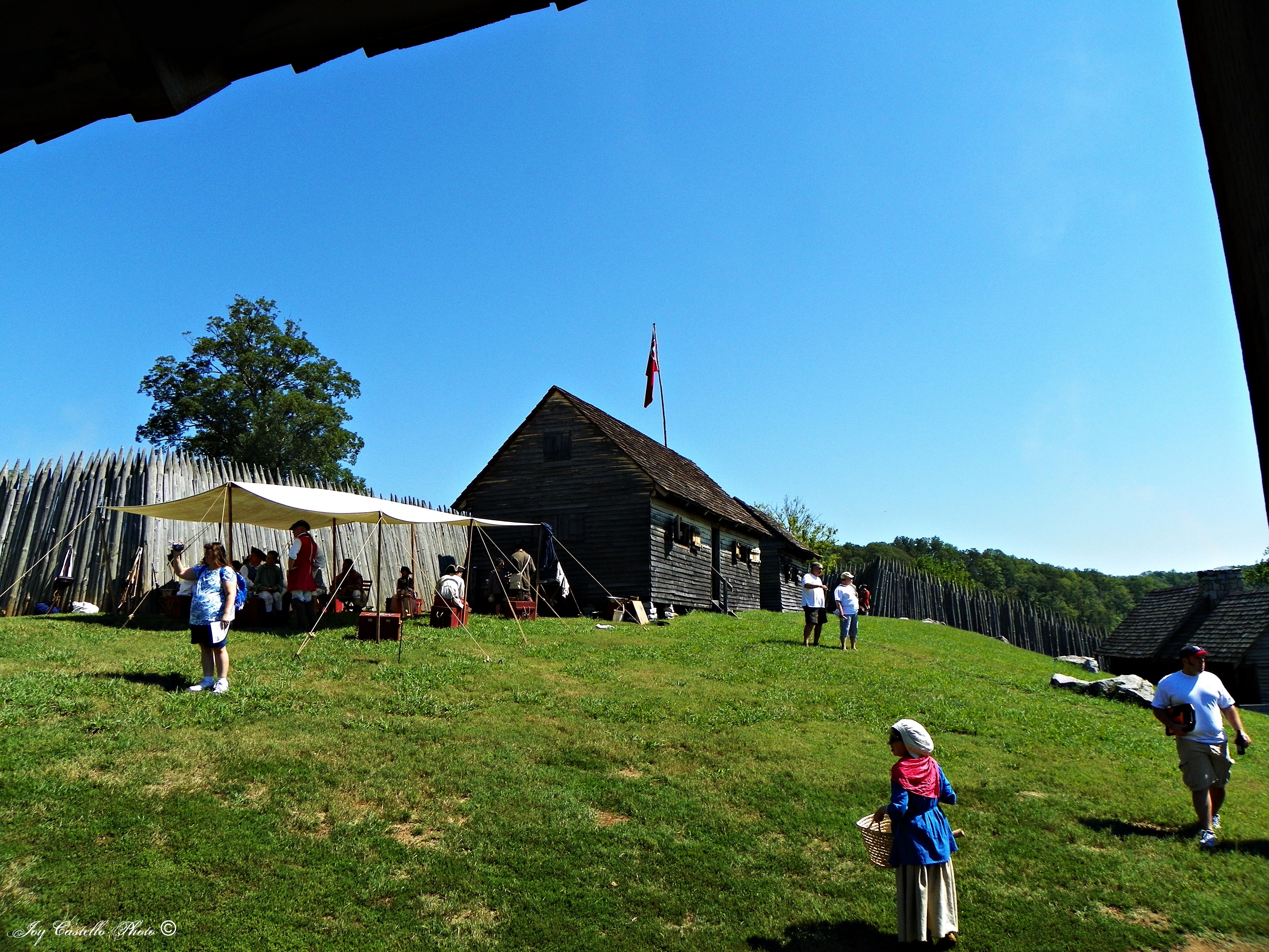
Fort Loudoun 18th Century Trade Faire
Topographic Map of TN-, Vonore, TN, USA
Find elevation by address:

Places near TN-, Vonore, TN, USA:
270 Hardin Cemetery Rd
270 Hardin Cemetery Rd
299 Hardin Cemetery Rd
405 Lindsey Cemetery Rd
129 Toqua Ln
527 Smokey Branch Rd
134 Dudi Trail
190 Corntassel Estates Rd
173 Indian Shadows Dr
2203 Povo Rd
433 Brakebill School Rd
7718 Tomotley Rd
262 Gaudio Way
2080 Federal Rd
7245 Cooks Hollow Rd
1408 Tomahawk Trail
Vonore
1015 Smokey Branch Rd
1753 Cherokee Ct
7102 Diamond Branch Rd
Recent Searches:
- Elevation of AMELIA CT HSE, VA, USA
- Elevation of Abbey Dr, Virginia Beach, VA, USA
- Elevation of Brooks Lp, Spearfish, SD, USA
- Elevation of Panther Dr, Maggie Valley, NC, USA
- Elevation of Jais St - Wadi Shehah - Ras al Khaimah - United Arab Emirates
- Elevation of Shawnee Avenue, Shawnee Ave, Easton, PA, USA
- Elevation of Scenic Shore Dr, Kingwood Area, TX, USA
- Elevation of W Prive Cir, Delray Beach, FL, USA
- Elevation of S Layton Cir W, Layton, UT, USA
- Elevation of F36W+3M, Mussoorie, Uttarakhand, India