Elevation of Corntassel Estates Rd, Vonore, TN, USA
Location: United States > Tennessee > Monroe County > Vonore >
Longitude: -84.255089
Latitude: 35.5262794
Elevation: 260m / 853feet
Barometric Pressure: 98KPa
Elevation Map:
Satellite Map:
Related Photos:

Monroe County, TN Courthouse - Madisonville, TN
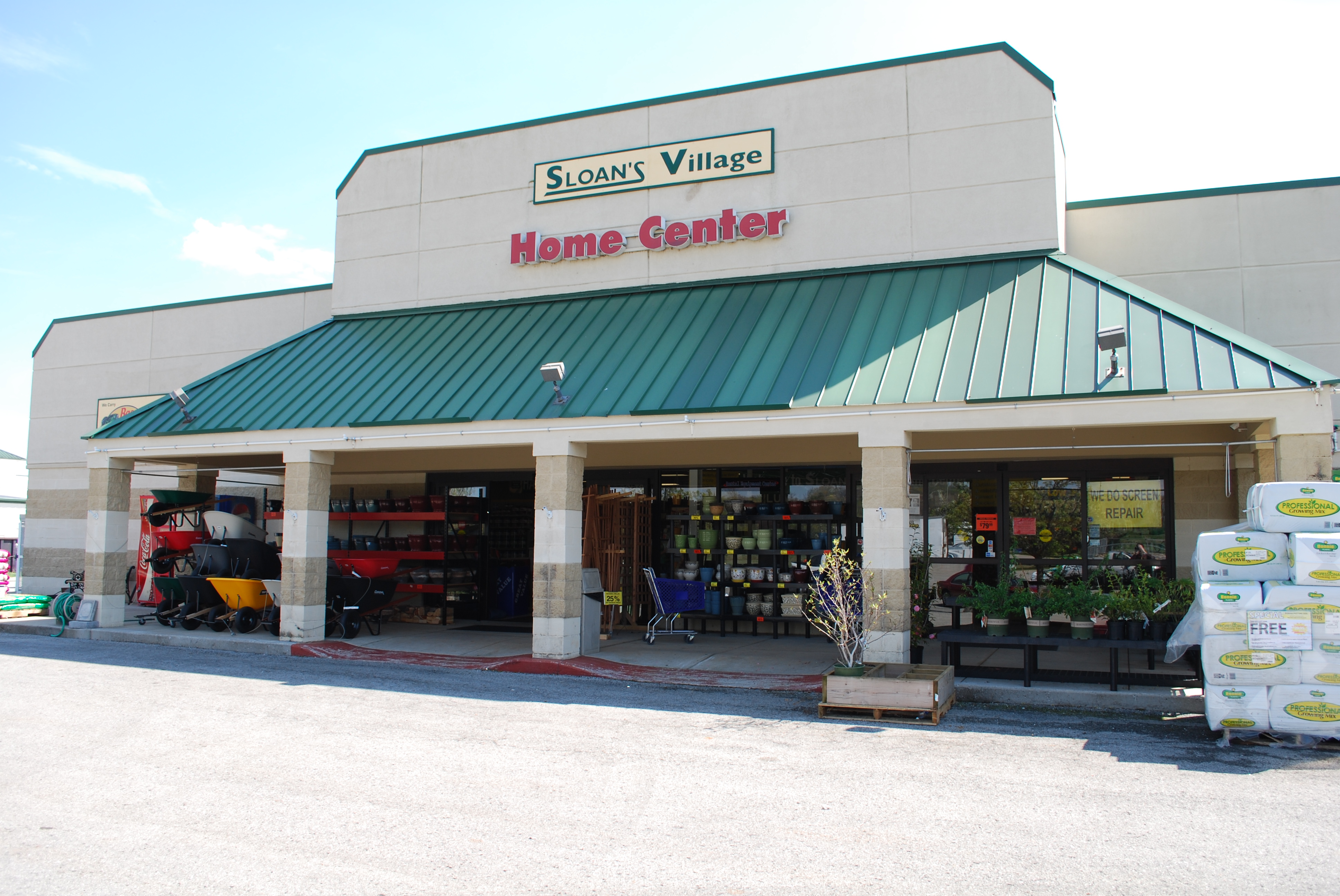
Sloan Hardware -A TRADITION OF RETAIL

near Miller St & Fowler St
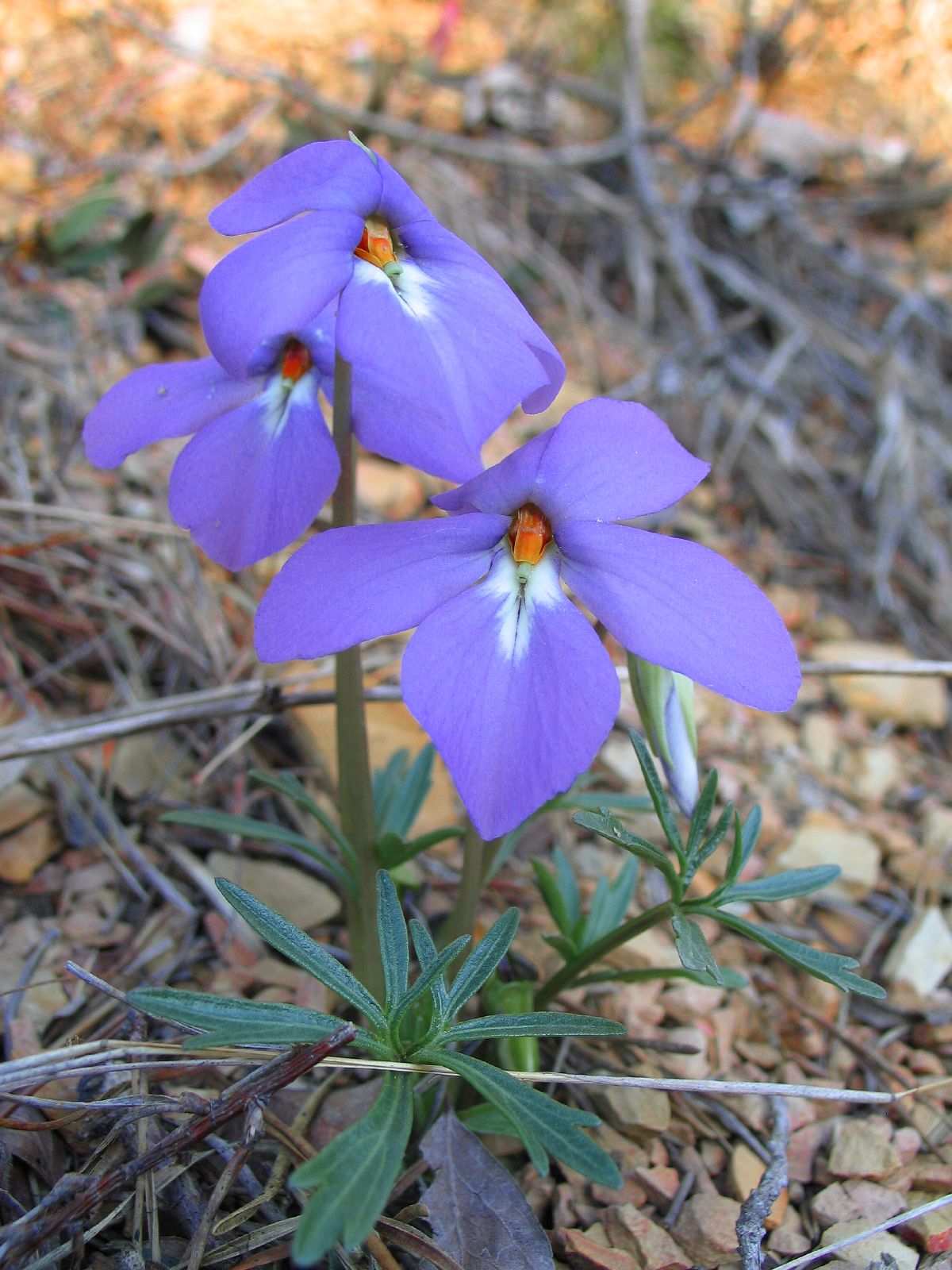
Birdsfoot Violet 137_3721.jpg
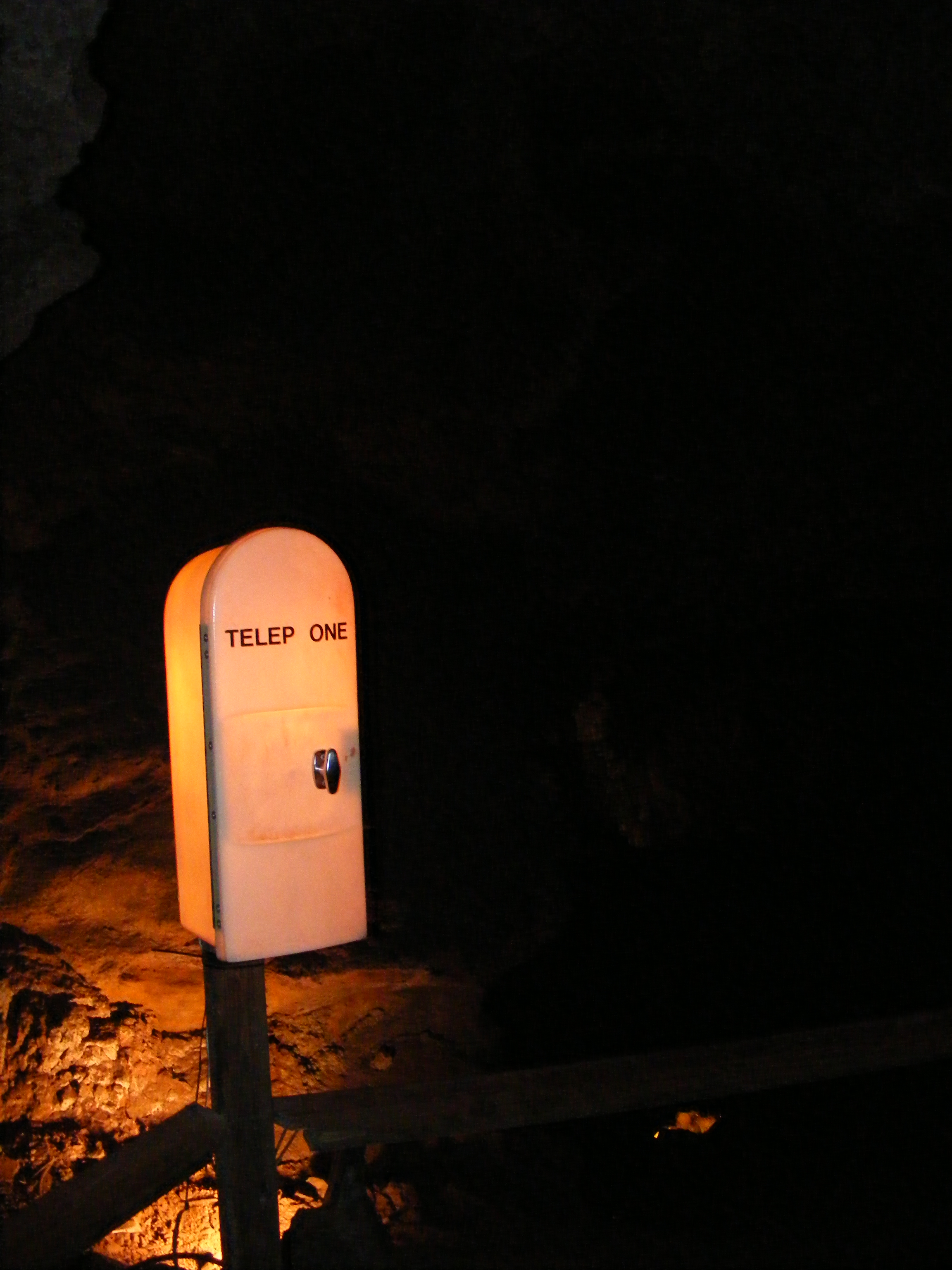
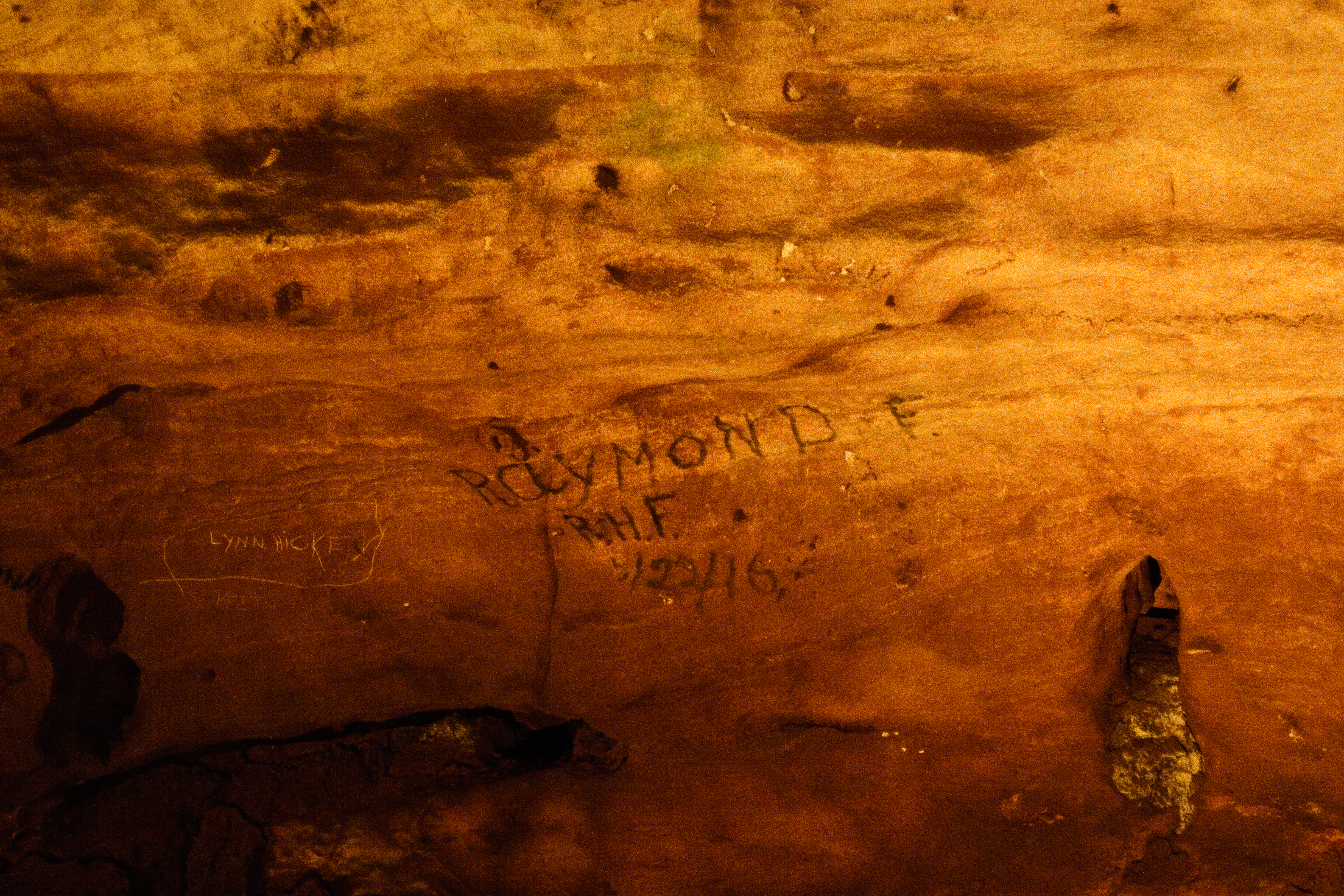
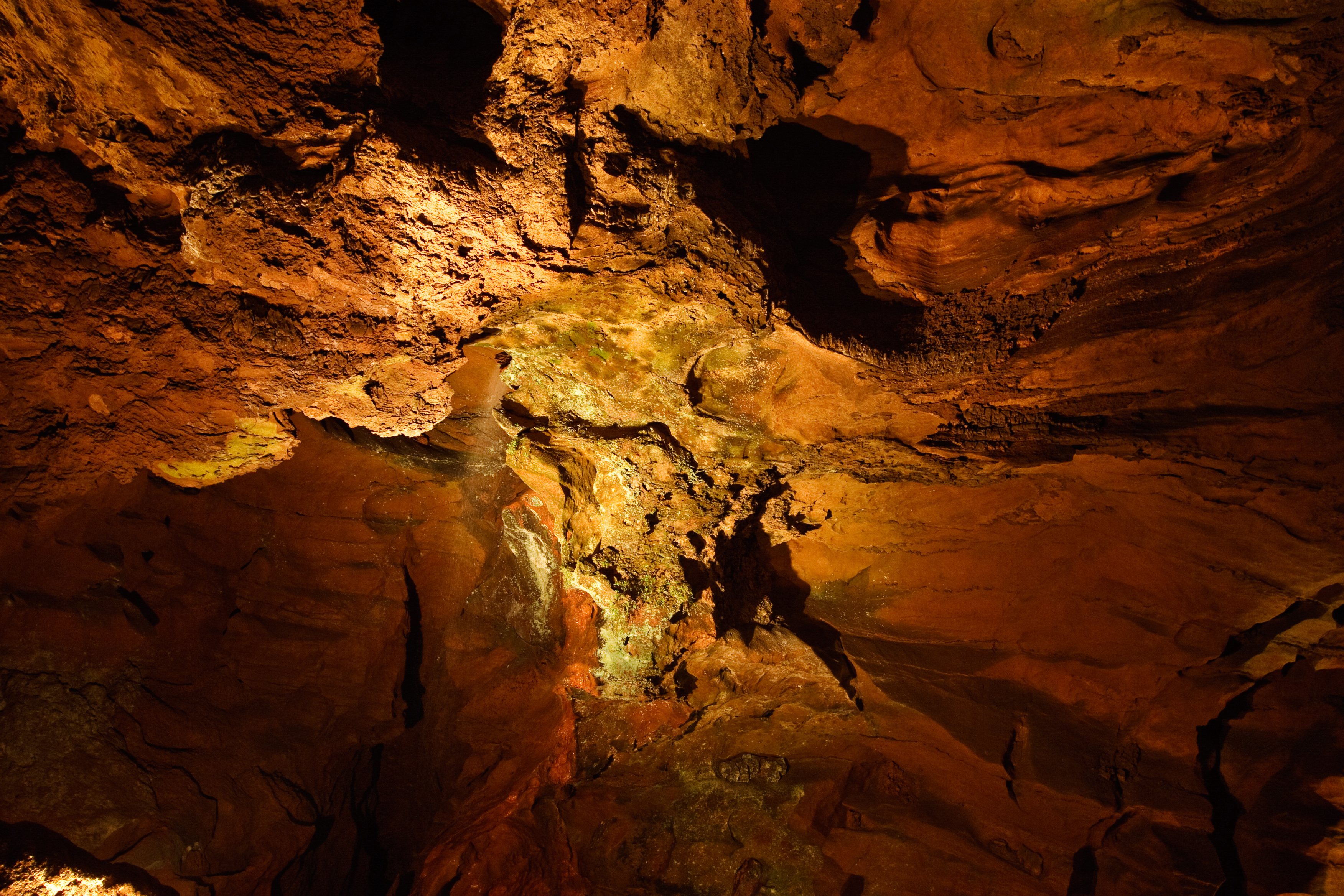
TELEP ONE in The Lost Sea Cave

Jump In!
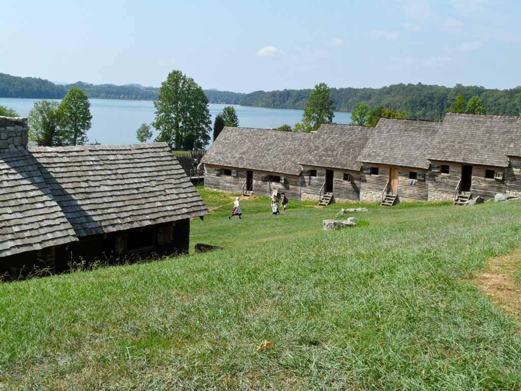
A View of the Fort's Interior
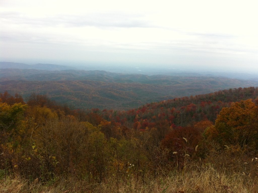
View from the top of the skyway
Fort Loudon view

This Bird Has Flown
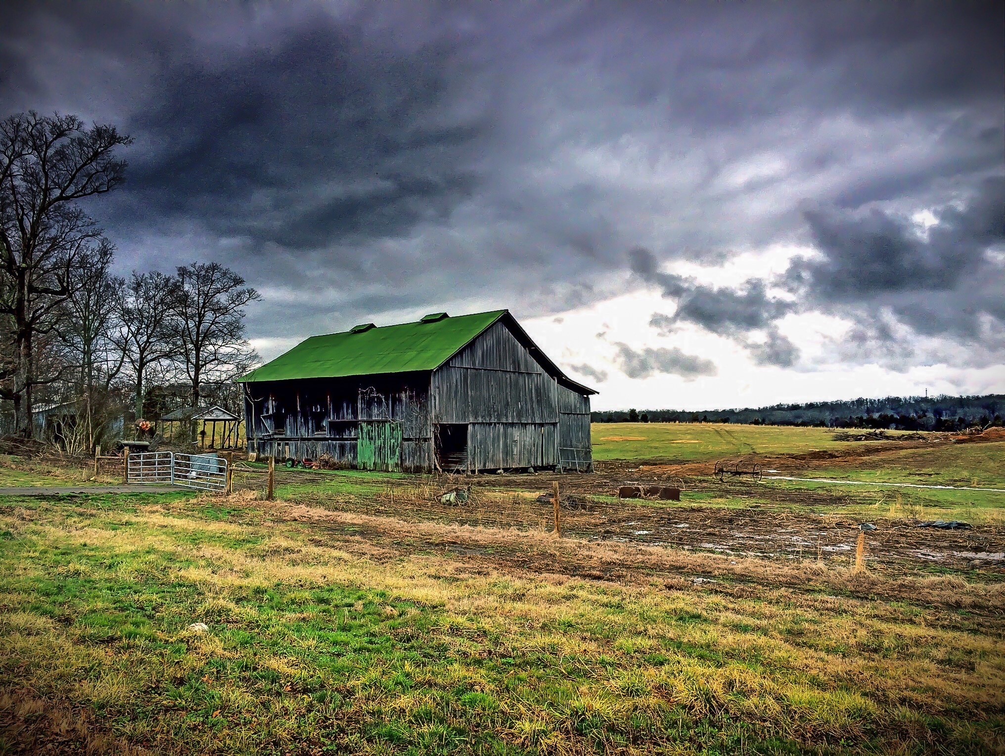
Barn on Hwy 411

Freedom of Choice
20120517-165416-IMG_4127
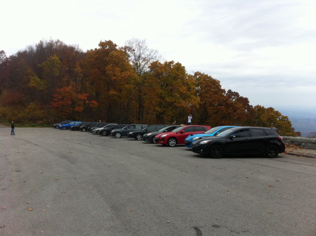
18.07 Smoky Mountain & Shenandoah Roadtrip
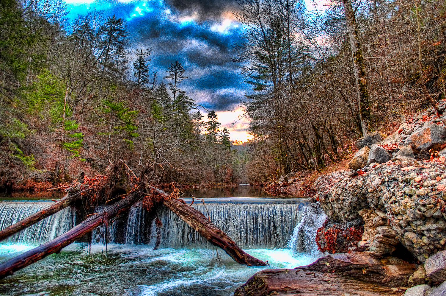
Citico Creek

20120517-165310-IMG_3516
20120517-171421-IMG_3524
This Way to the Jumpoff
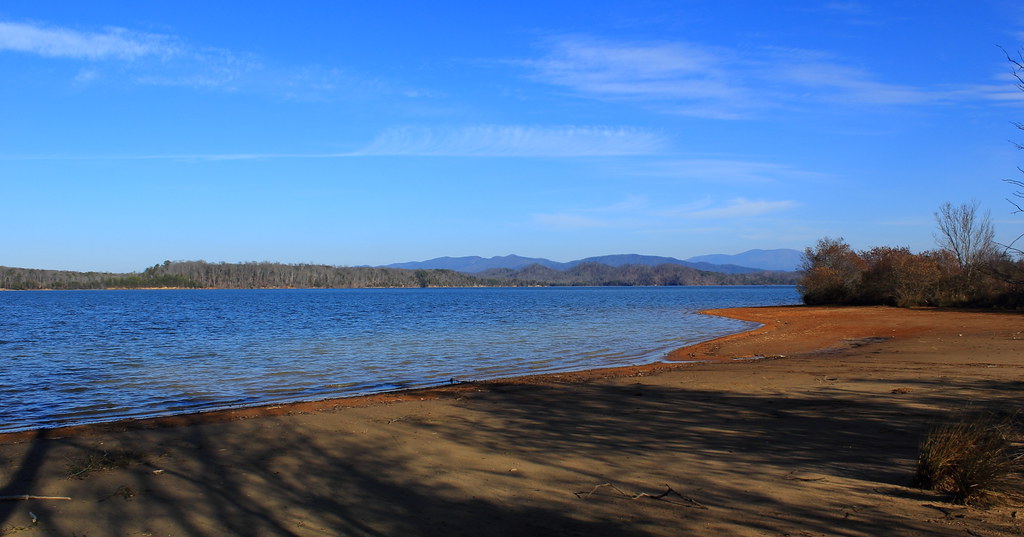
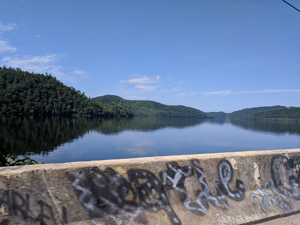
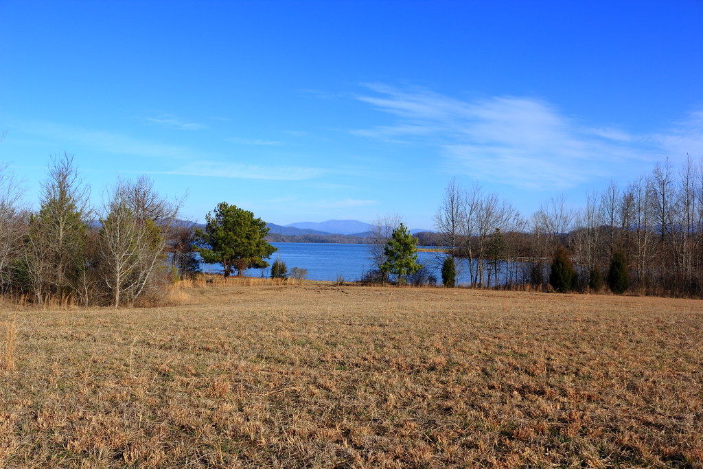
Tellico Lake Shore
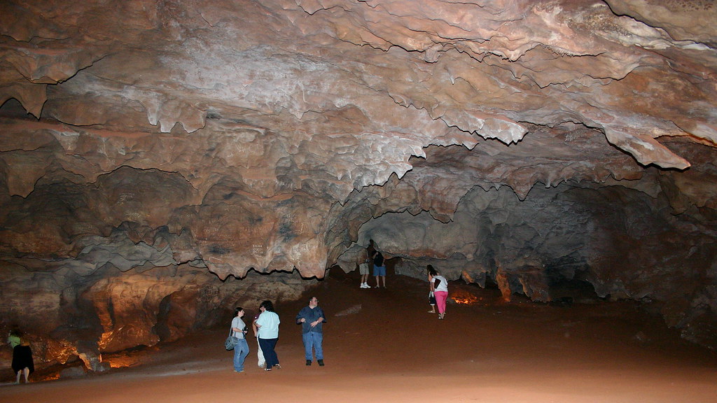
Lost Sea 3
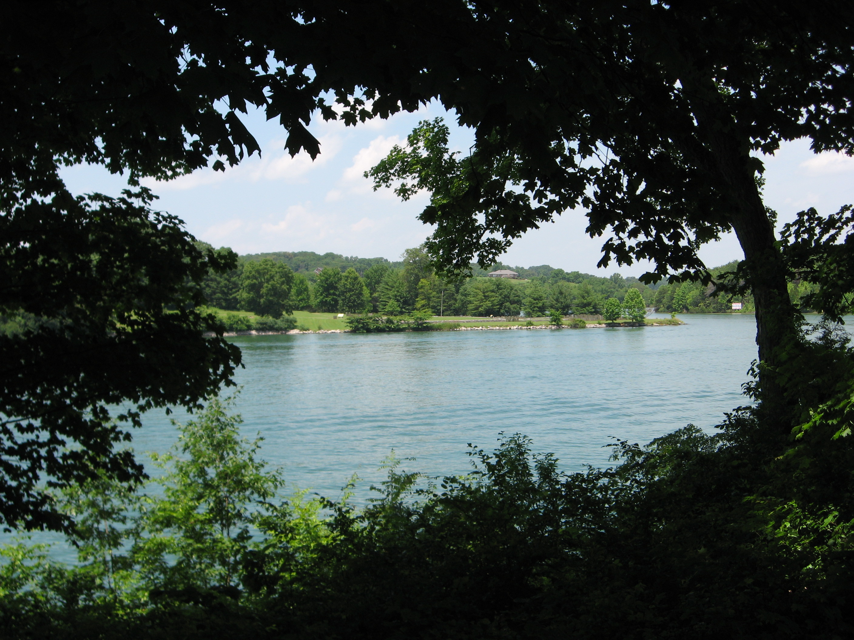
Tellico Lake
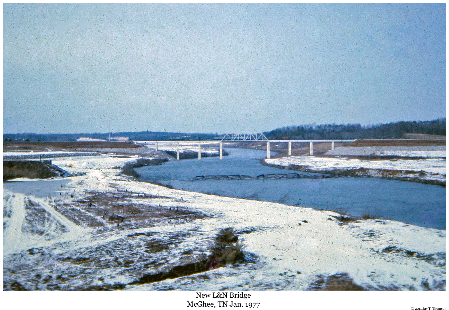
New L&N Bridge at McGhee, TN

The Kiss/Rocket

Lost Sea 1
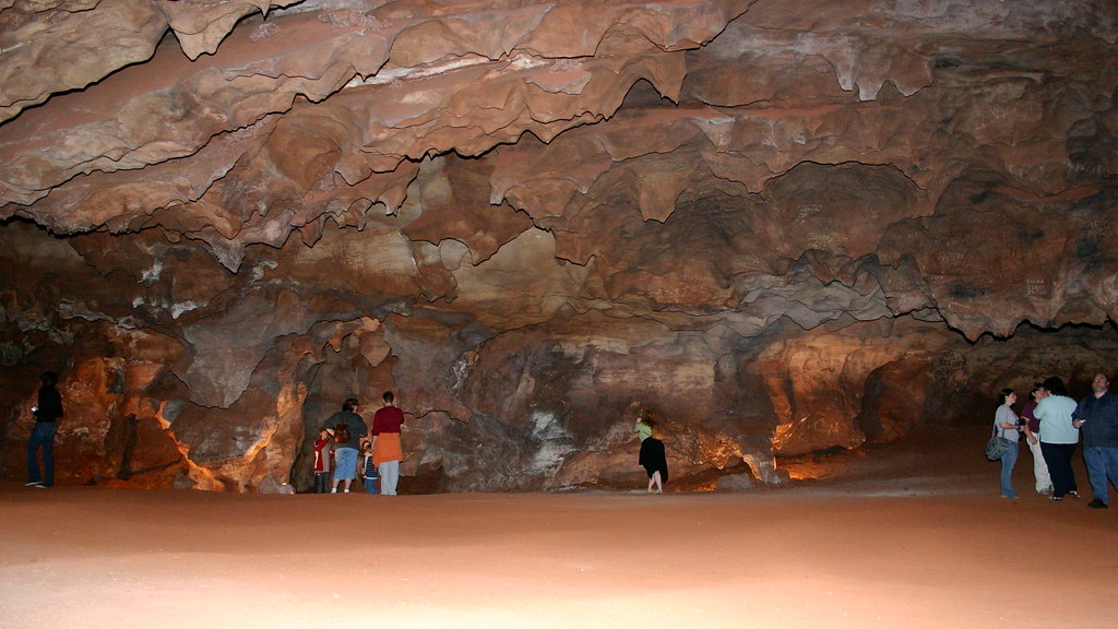
Lost Sea 2
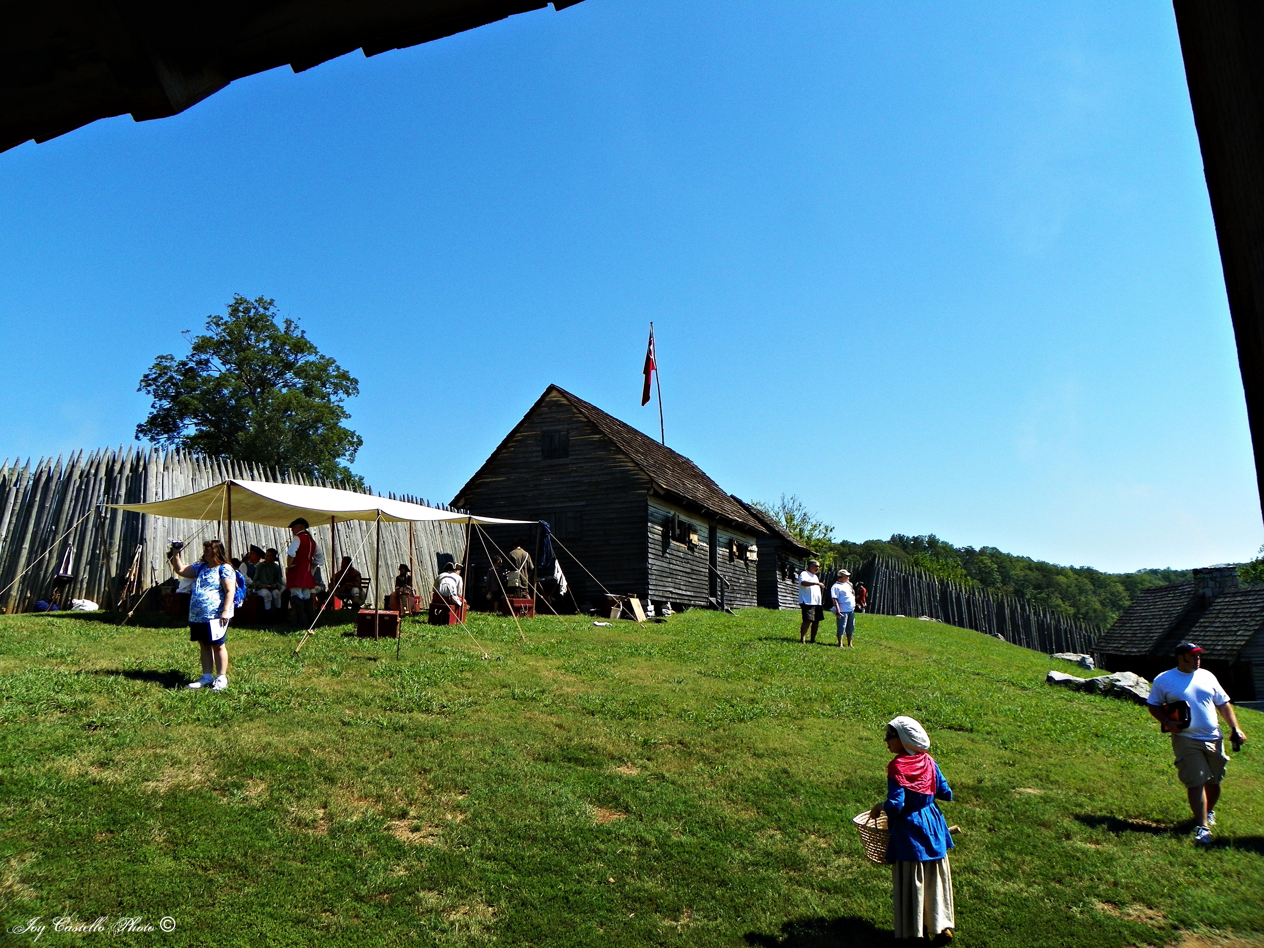
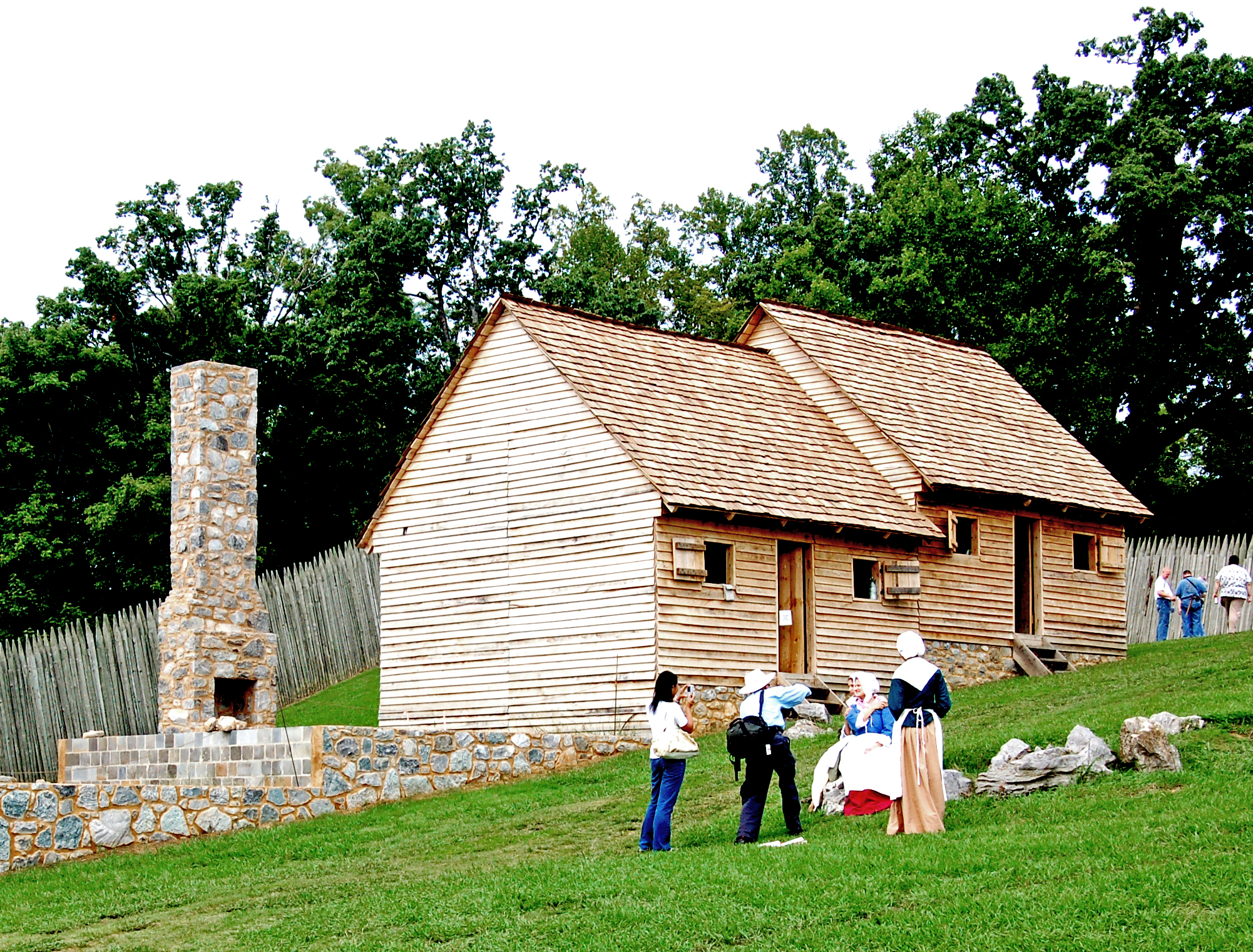
Fort Loudoun 18th Century Trade Faire
GHS 1
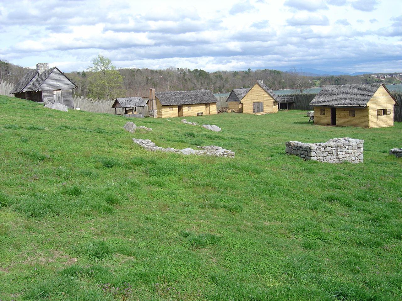
Ft Loudon- Monroe Co TN (2)
#eecmm

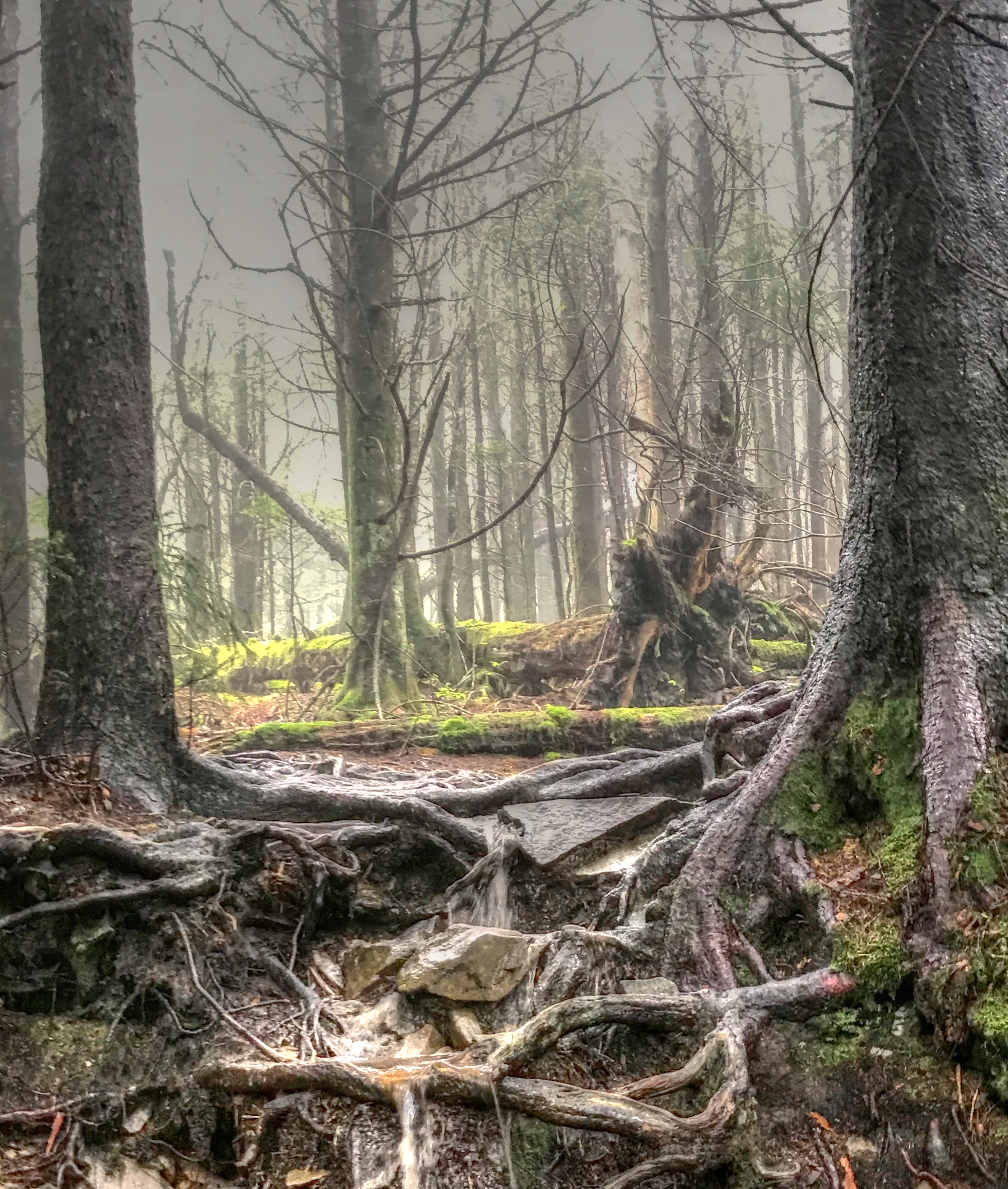
Dreaming of Trees
Topographic Map of Corntassel Estates Rd, Vonore, TN, USA
Find elevation by address:

Places near Corntassel Estates Rd, Vonore, TN, USA:
2080 Federal Rd
433 Brakebill School Rd
2203 Povo Rd
129 Toqua Ln
405 Lindsey Cemetery Rd
134 Dudi Trail
US-, Madisonville, TN, USA
TN-, Vonore, TN, USA
2989 Us-411
106 Holloway Rd
Vonore
1478 Niles Ferry Rd
26 Excellence Way
270 Hardin Cemetery Rd
270 Hardin Cemetery Rd
299 Hardin Cemetery Rd
1101 Oak Grove Rd
Sweetwater Vonore Road
741 Dogwood Dr
173 Indian Shadows Dr
Recent Searches:
- Elevation of Dog Leg Dr, Minden, NV, USA
- Elevation of Dog Leg Dr, Minden, NV, USA
- Elevation of Kambingan Sa Pansol Atbp., Purok 7 Pansol, Candaba, Pampanga, Philippines
- Elevation of Pinewood Dr, New Bern, NC, USA
- Elevation of Mountain View, CA, USA
- Elevation of Foligno, Province of Perugia, Italy
- Elevation of Blauwestad, Netherlands
- Elevation of Bella Terra Blvd, Estero, FL, USA
- Elevation of Estates Loop, Priest River, ID, USA
- Elevation of Woodland Oak Pl, Thousand Oaks, CA, USA