Elevation of TN-91, Elizabethton, TN, USA
Location: United States > Tennessee > Carter County > Elizabethton >
Longitude: -82.000677
Latitude: 36.467825
Elevation: 739m / 2425feet
Barometric Pressure: 93KPa
Elevation Map:
Satellite Map:
Related Photos:

Appalachian Trail

Appalachian Trail

View from Vandeventer Shelter
Appalachian Trail

View from Vandeventer Shelter

Osborne Tract, Appalachian NST, Shady Valley, TN7

Osborne Tract, Appalachian NST, Shady Valley, TN2

Osborne Tract, Appalachian NST, Shady Valley, TN6

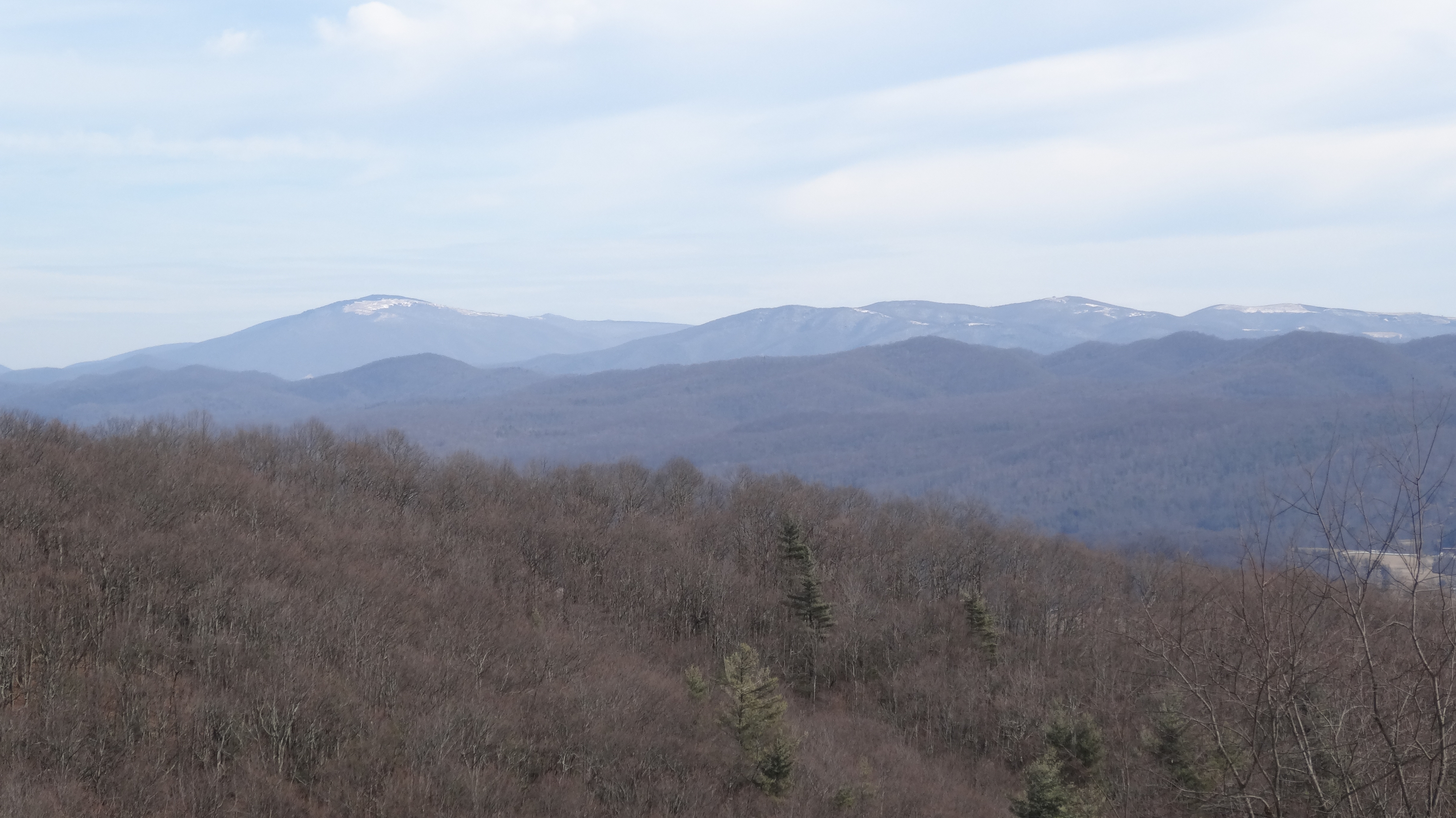
View from Flint Rock

Osborne Tract, Appalachian NST, Shady Valley, TN

View From The Top #5

South Holston Lake

Osborne Tract, Appalachian NST, Shady Valley, TN5

Osborne Tract, Appalachian NST, Shady Valley, TN2
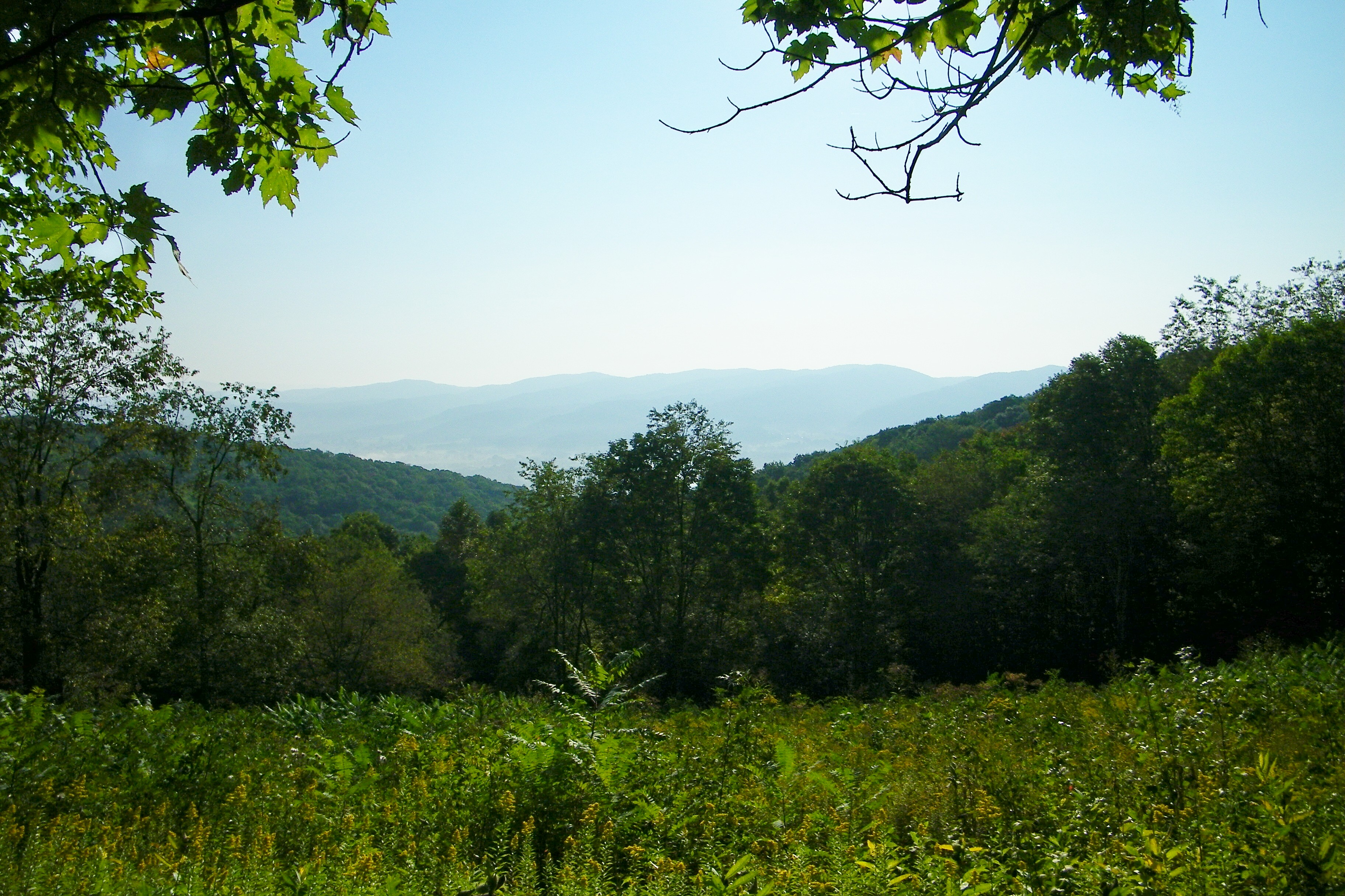
view from Appalachian NST, Shady Valley, TN

The view

Vandeventer Shelter, Appalachian NST, TN

view from Appalachian NST, Shady Valley, TN

Appalachian National Scenic Trail, Osborne Tract, Shady Valley, TN

Osborne Tract, Appalachian NST, Shady Valley, TN4
Osborne Tract, Appalachian NST, Shady Valley, TN4
IMG_1482.jpg

Bristol Caverns-9198
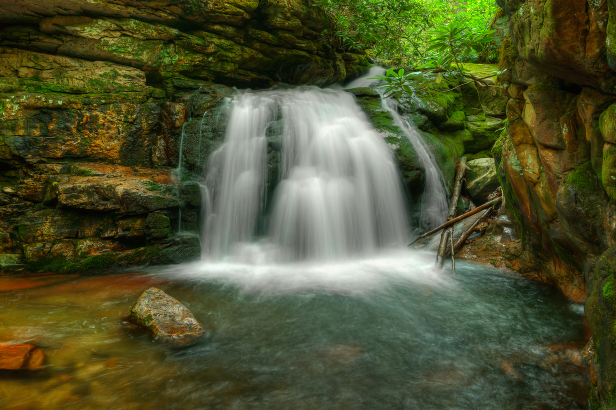
Blue Hole Falls
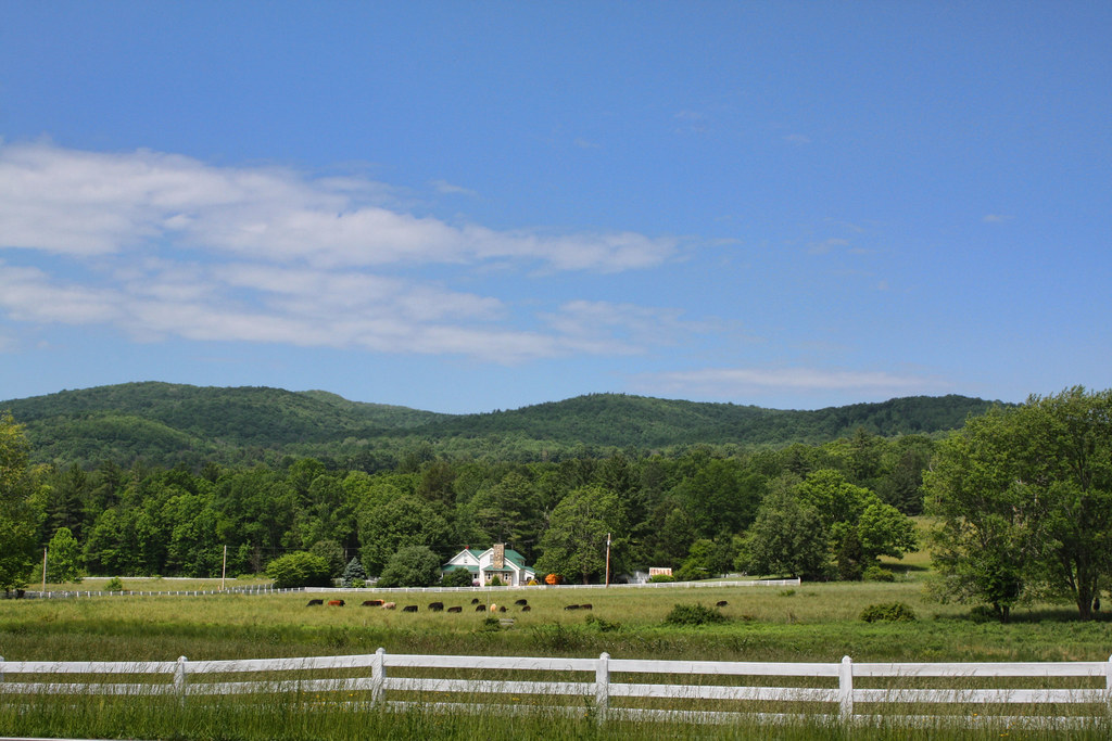
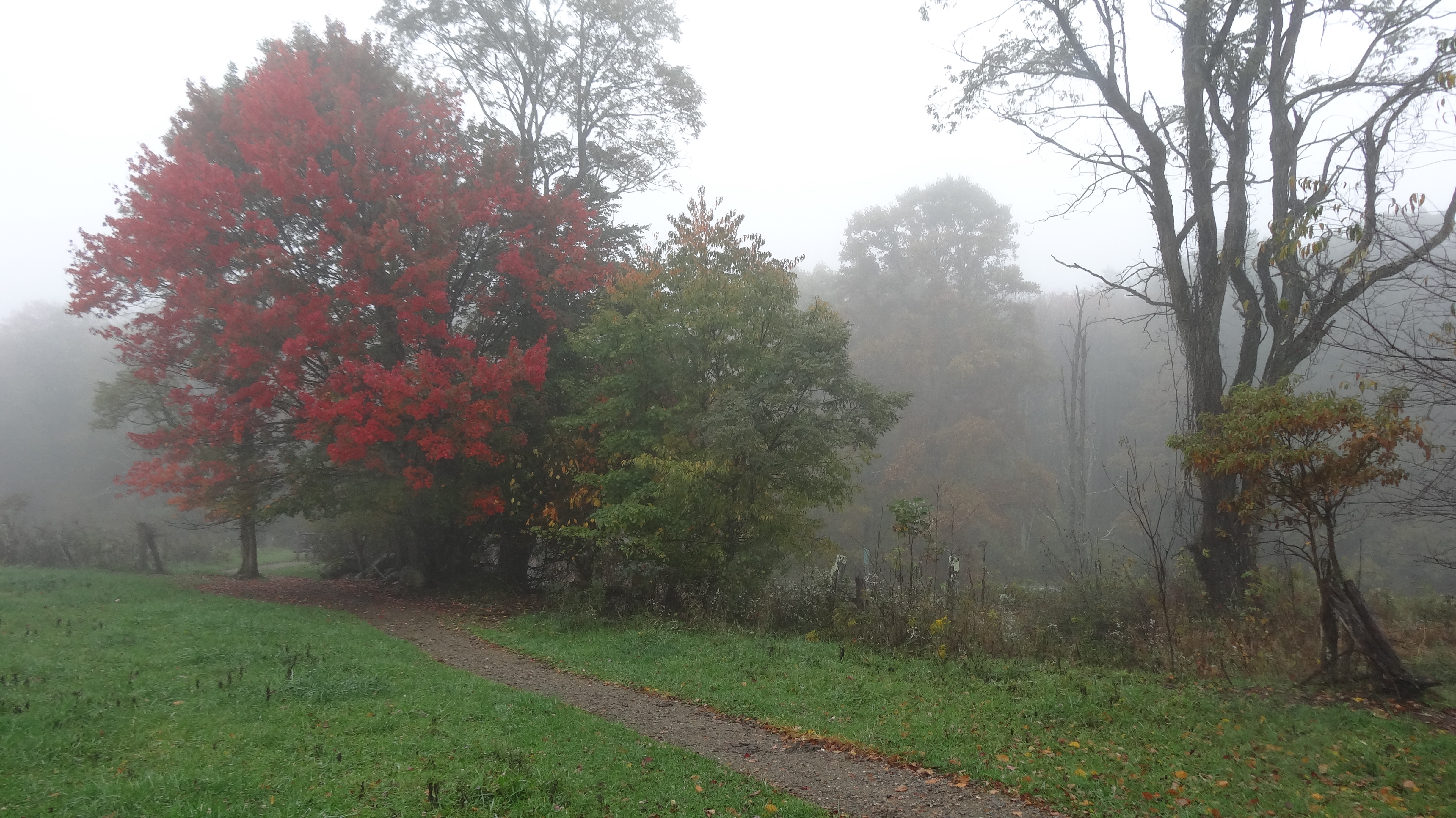
Shady Valley Farm

Mountain Flame
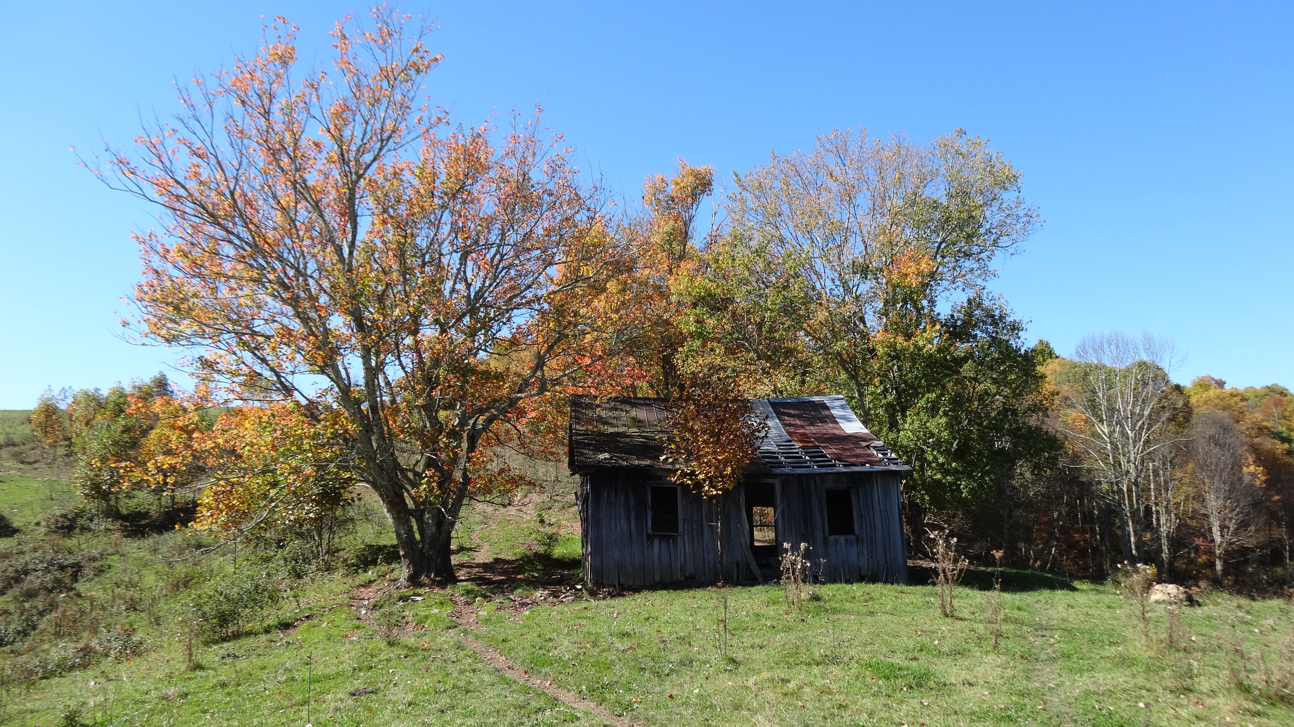
Old Cabin, Osborne Tract, Shady Valley, TN2

Carter County, TN

Bristol Caverns
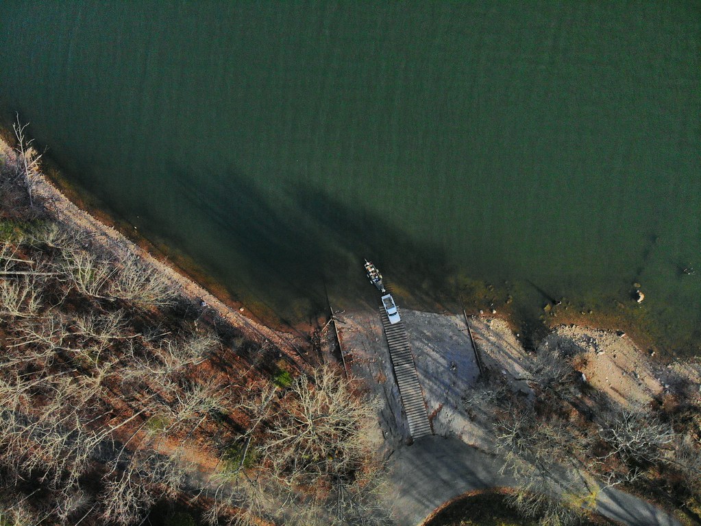
Loading the boat
Bristol Caverns-9205

Blue Hole Lower

South Holston Lake
Blue Hole Falls, Carter County, TN4
Bristol Caverns-9190

South Holston Dam-9361

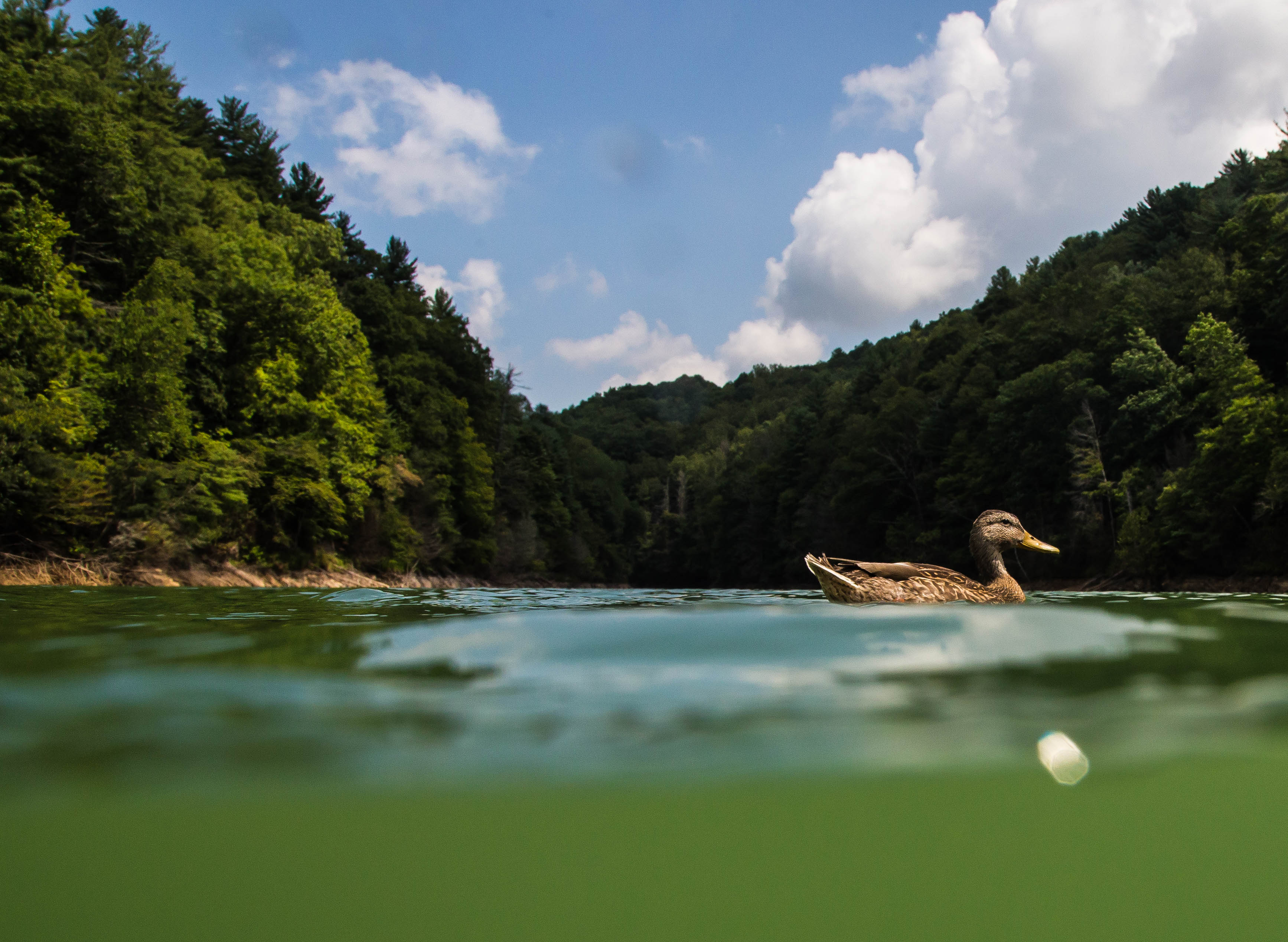
Mallard's Solitude

South Holston Dam-9360

South Holston Dam-9373

Bristol Caverns-9244-2

Weir Dam-9298

Favorites from iPhone
Topographic Map of TN-91, Elizabethton, TN, USA
Find elevation by address:

Places near TN-91, Elizabethton, TN, USA:
230 Bulldog Hollow
222 Bulldog Hollow
251 Estep Hollow Rd
Estep Hollow Road
197 Edsel Mcqueen Ln
181 Dugger Branch Rd
116 Forest Crest Ln
Flint Rock
Cross Mountain Road
120 Clyde White Rd
1343 Pine Orchard Rd
TN-91, Shady Valley, TN, USA
903 Jimmy Hollow Rd
Moreland Drive
133 George Jenkins Rd
Jimmy Hollow Road
9606 Hwy 67 W
9606 Hwy 67 W
Largent Lane
Campbell Road
Recent Searches:
- Elevation of Congressional Dr, Stevensville, MD, USA
- Elevation of Bellview Rd, McLean, VA, USA
- Elevation of Stage Island Rd, Chatham, MA, USA
- Elevation of Shibuya Scramble Crossing, 21 Udagawacho, Shibuya City, Tokyo -, Japan
- Elevation of Jadagoniai, Kaunas District Municipality, Lithuania
- Elevation of Pagonija rock, Kranto 7-oji g. 8"N, Kaunas, Lithuania
- Elevation of Co Rd 87, Jamestown, CO, USA
- Elevation of Tenjo, Cundinamarca, Colombia
- Elevation of Côte-des-Neiges, Montreal, QC H4A 3J6, Canada
- Elevation of Bobcat Dr, Helena, MT, USA