Elevation of Flint Rock, Tennessee, USA
Location: United States > Tennessee > Carter County > Elizabethton >
Longitude: -82.060403
Latitude: 36.4776122
Elevation: 961m / 3153feet
Barometric Pressure: 90KPa
Elevation Map:
Satellite Map:
Related Photos:
Osborne Tract, Appalachian NST, Shady Valley, TN5
Osborne Tract, Appalachian NST, Shady Valley, TN4

Bold Jumping Spider
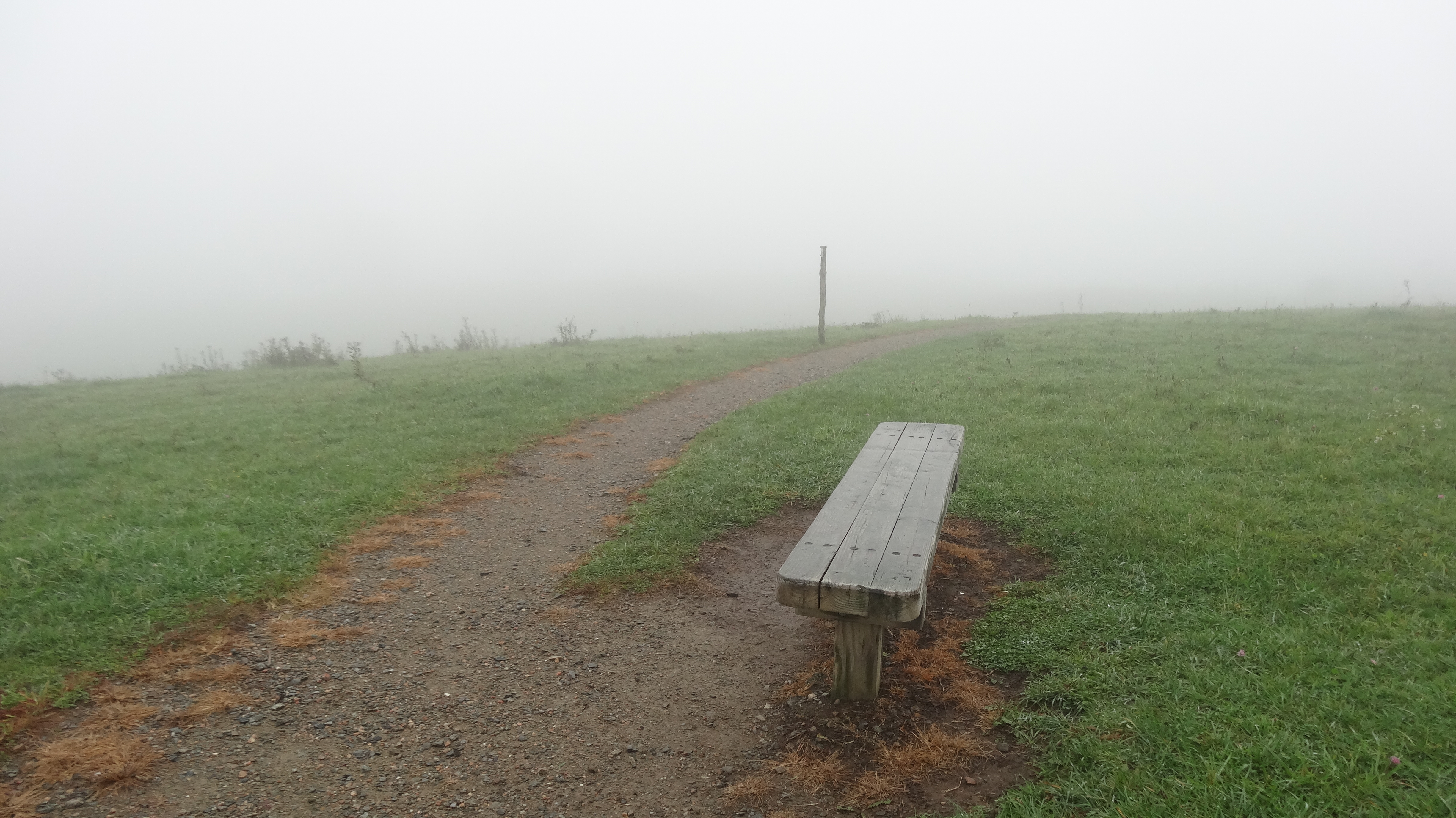
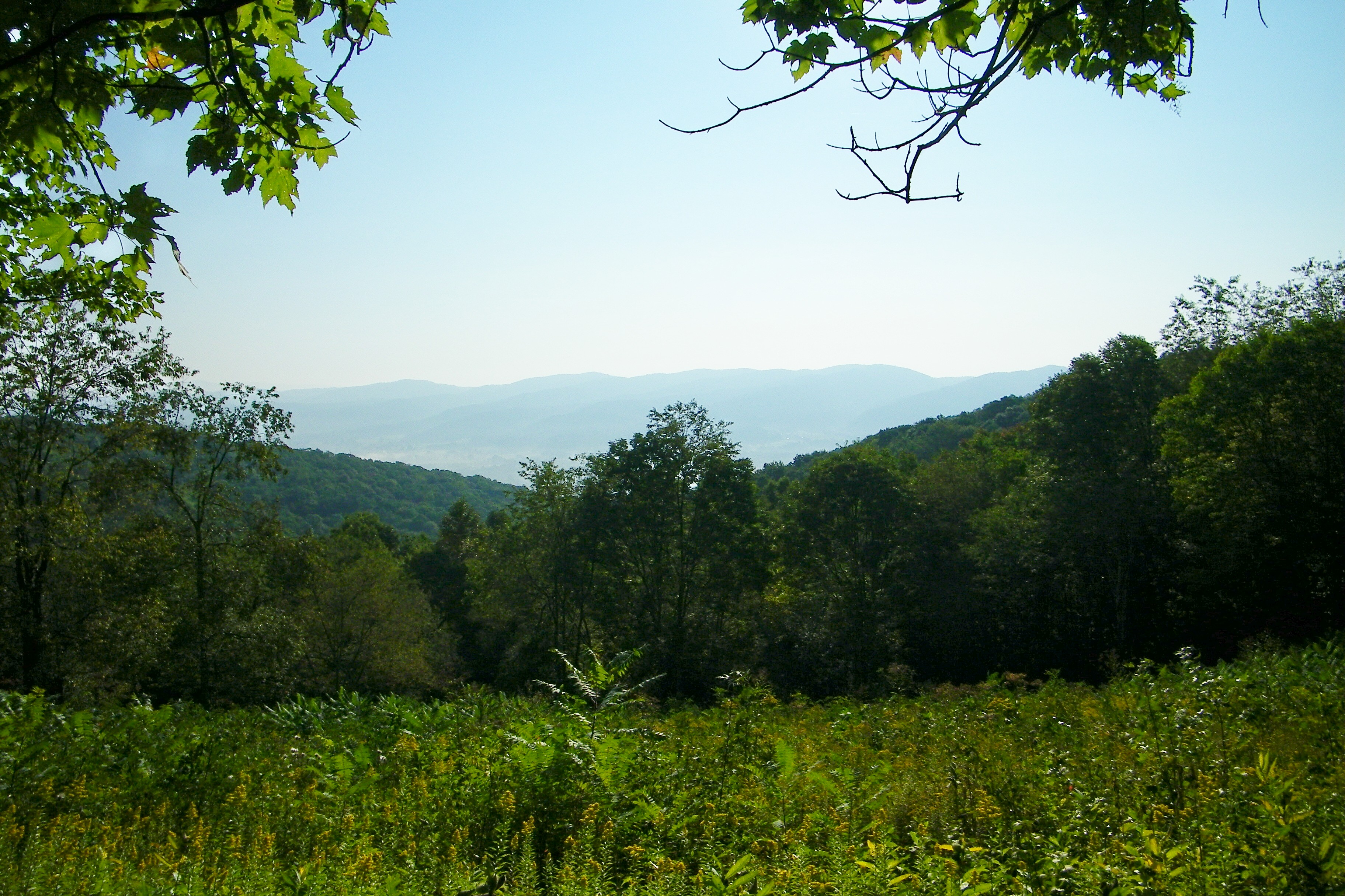
View from Flint Rock
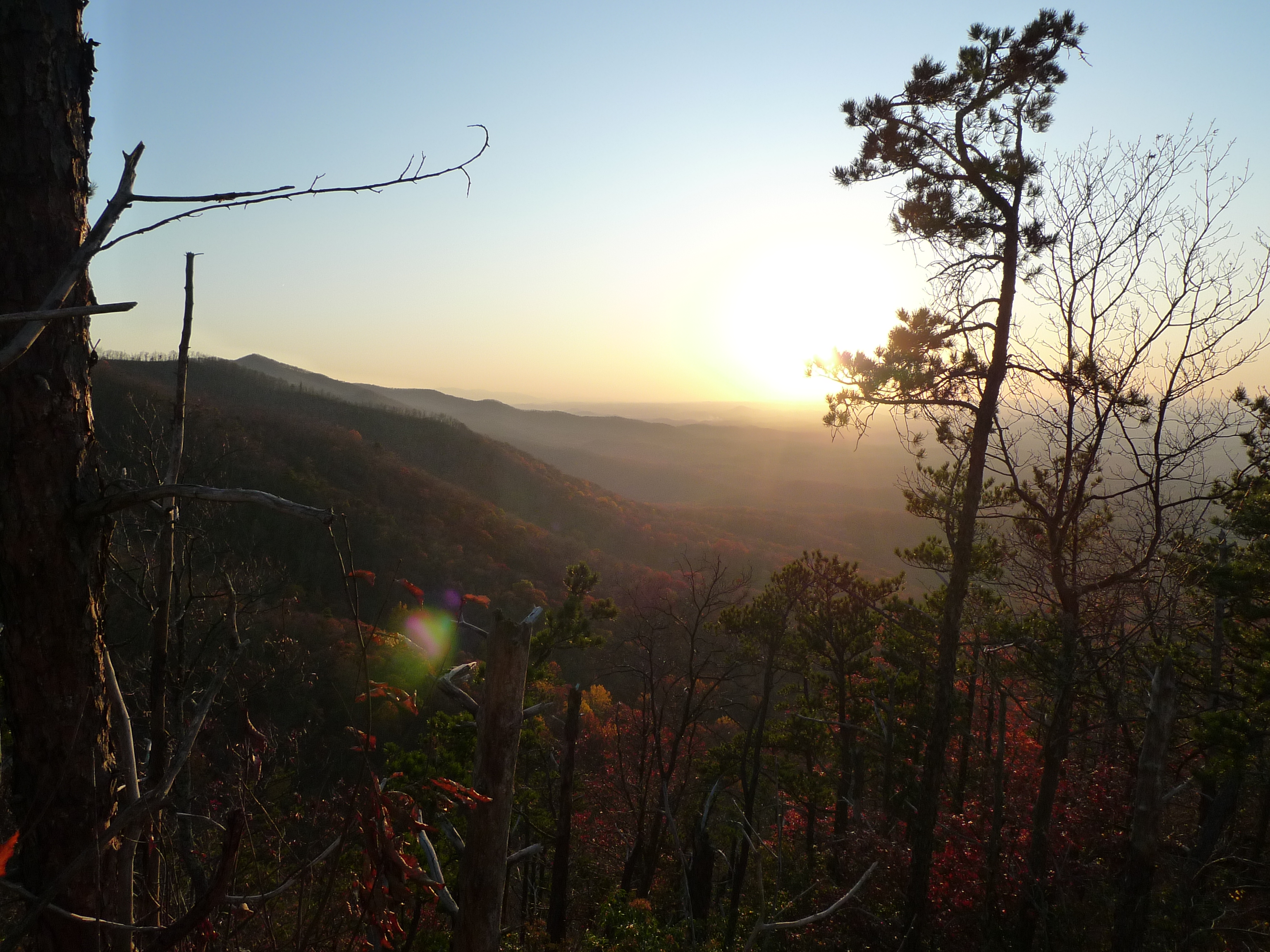
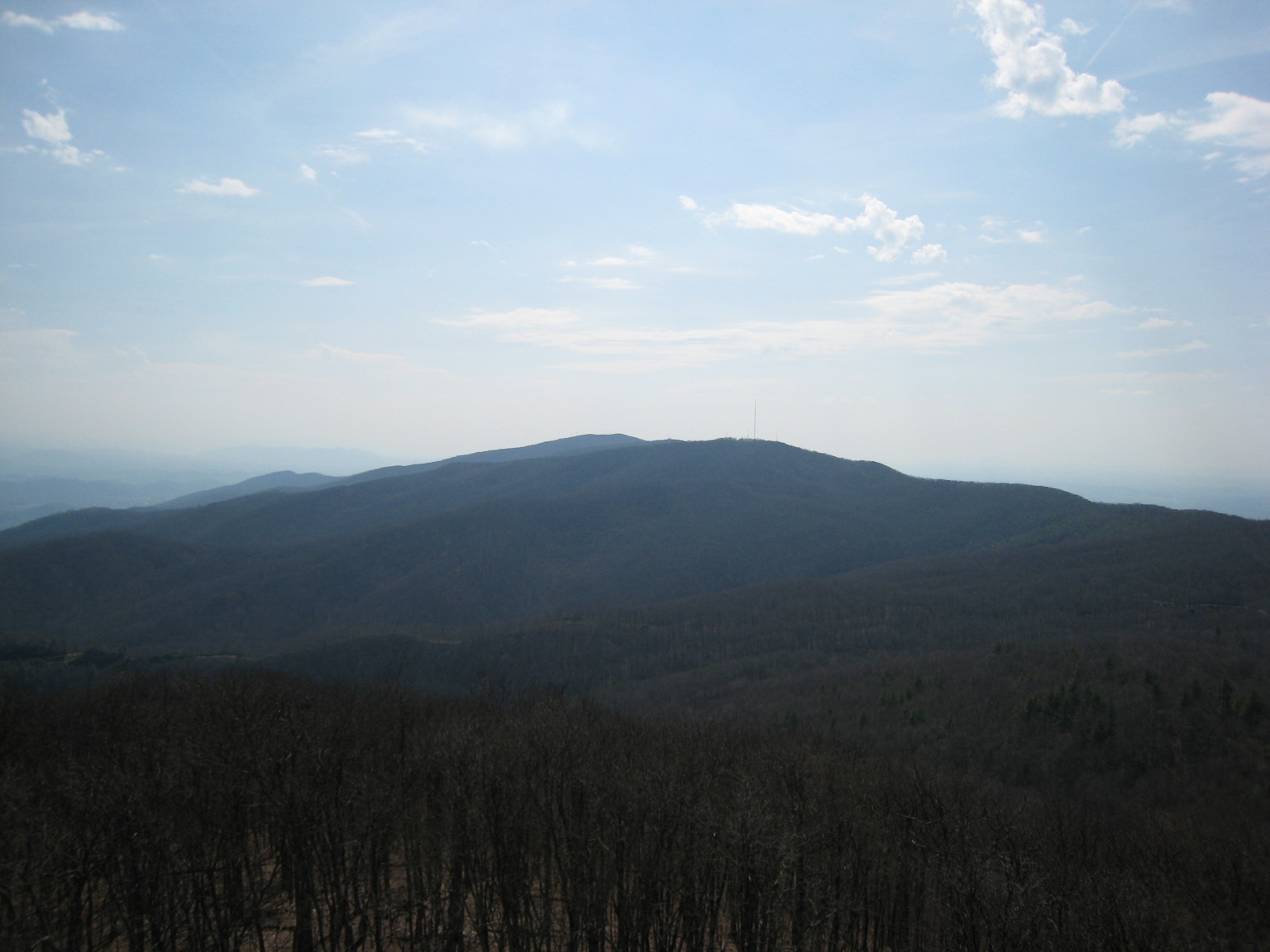
View to South
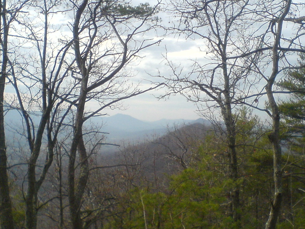
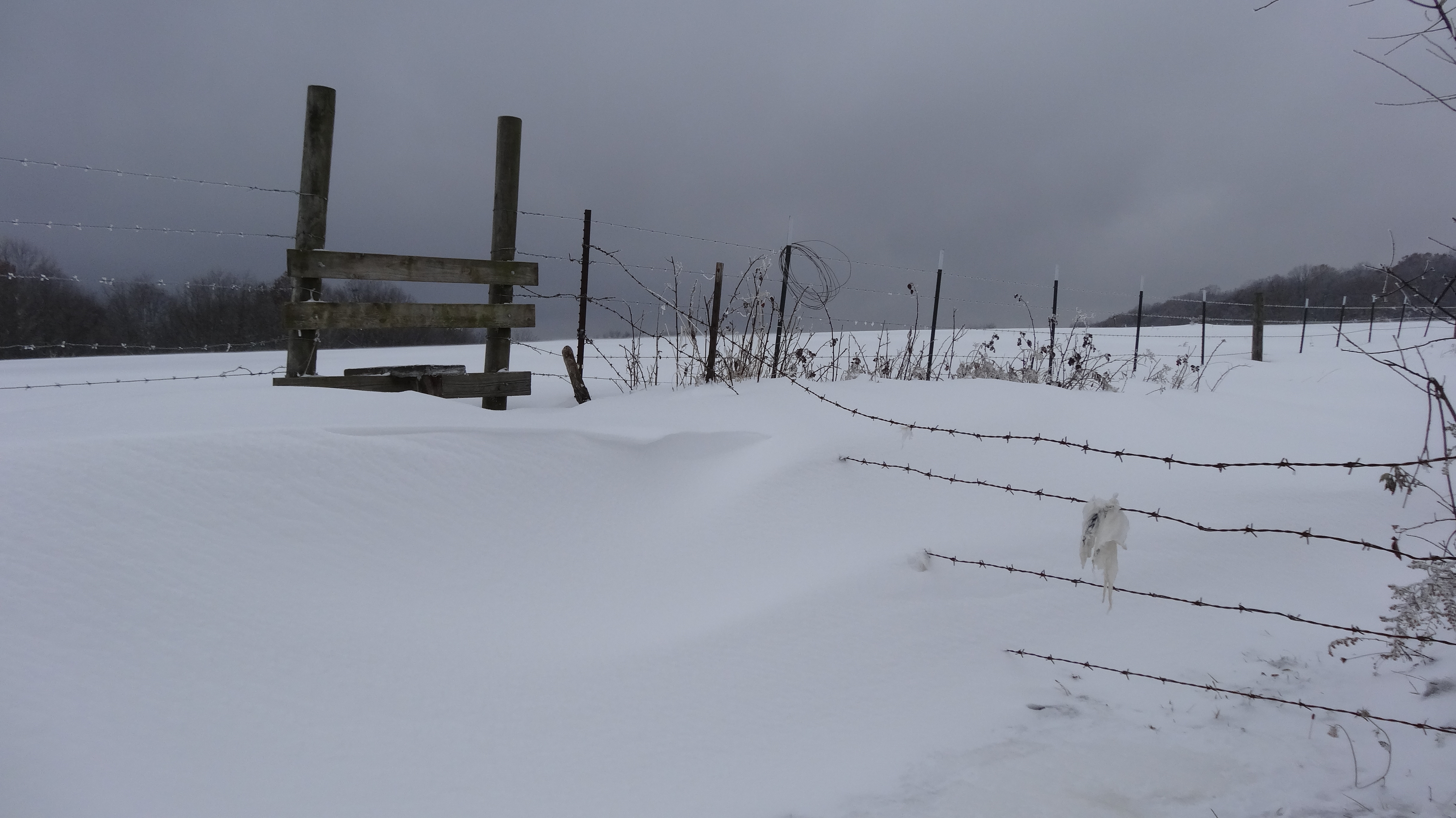
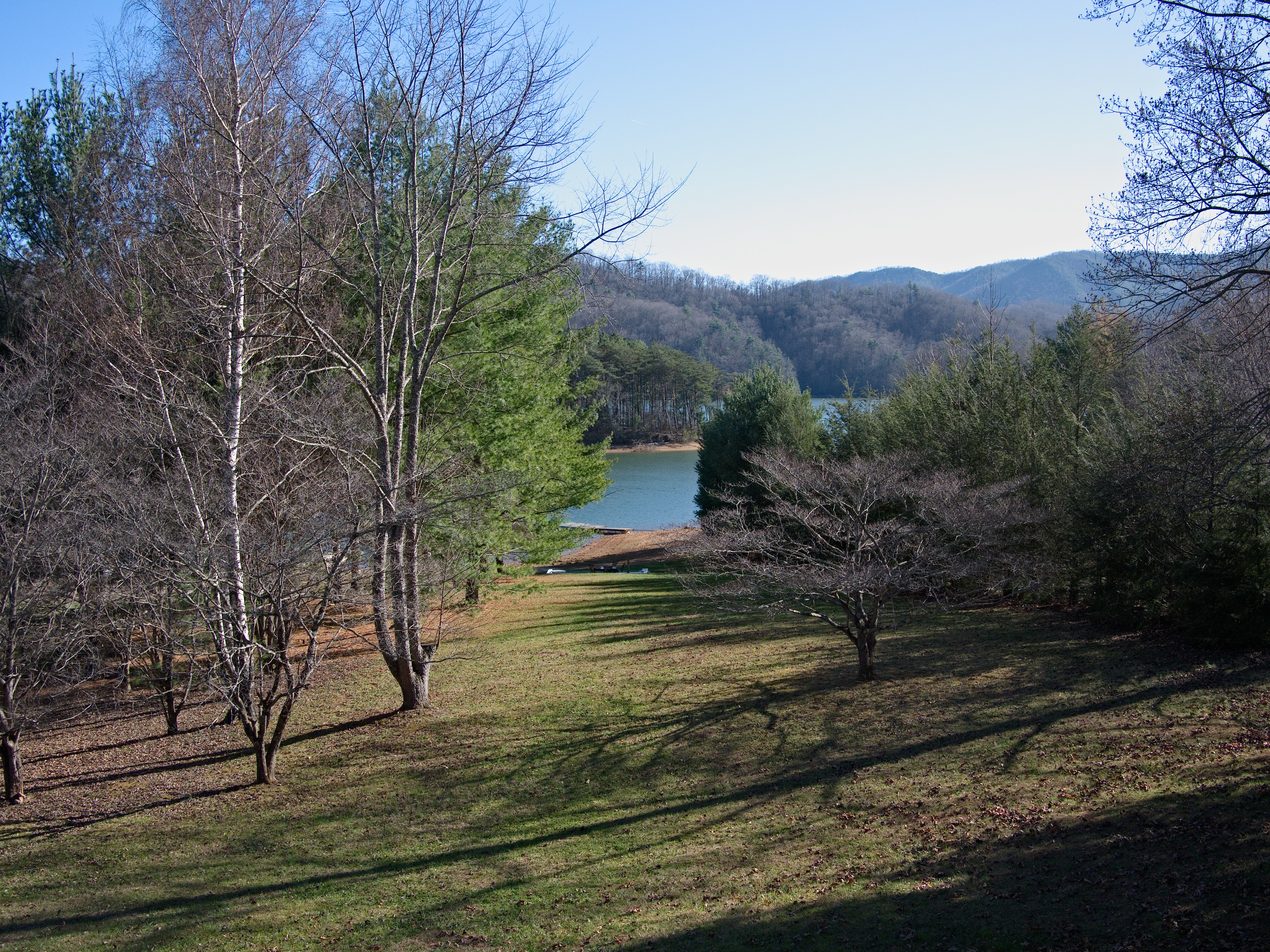
Winter views
View from Flint Rock

View from Flint Rock
Osborne Tract, Appalachian NST, Shady Valley, TN6
View from Flint Rock
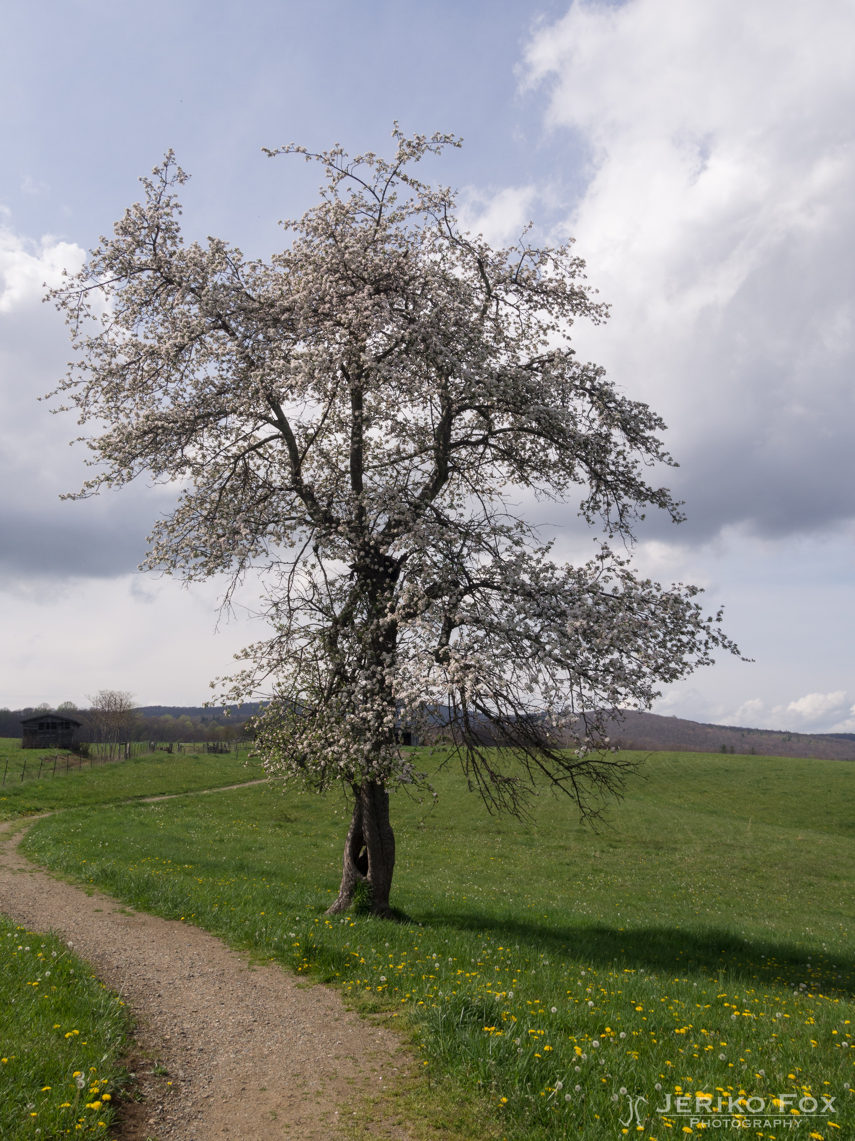
Appalachian Trail

View from Vandeventer Shelter

View from Vandeventer Shelter
Osborne Tract, Appalachian NST, Shady Valley, TN7
Appalachian Trail
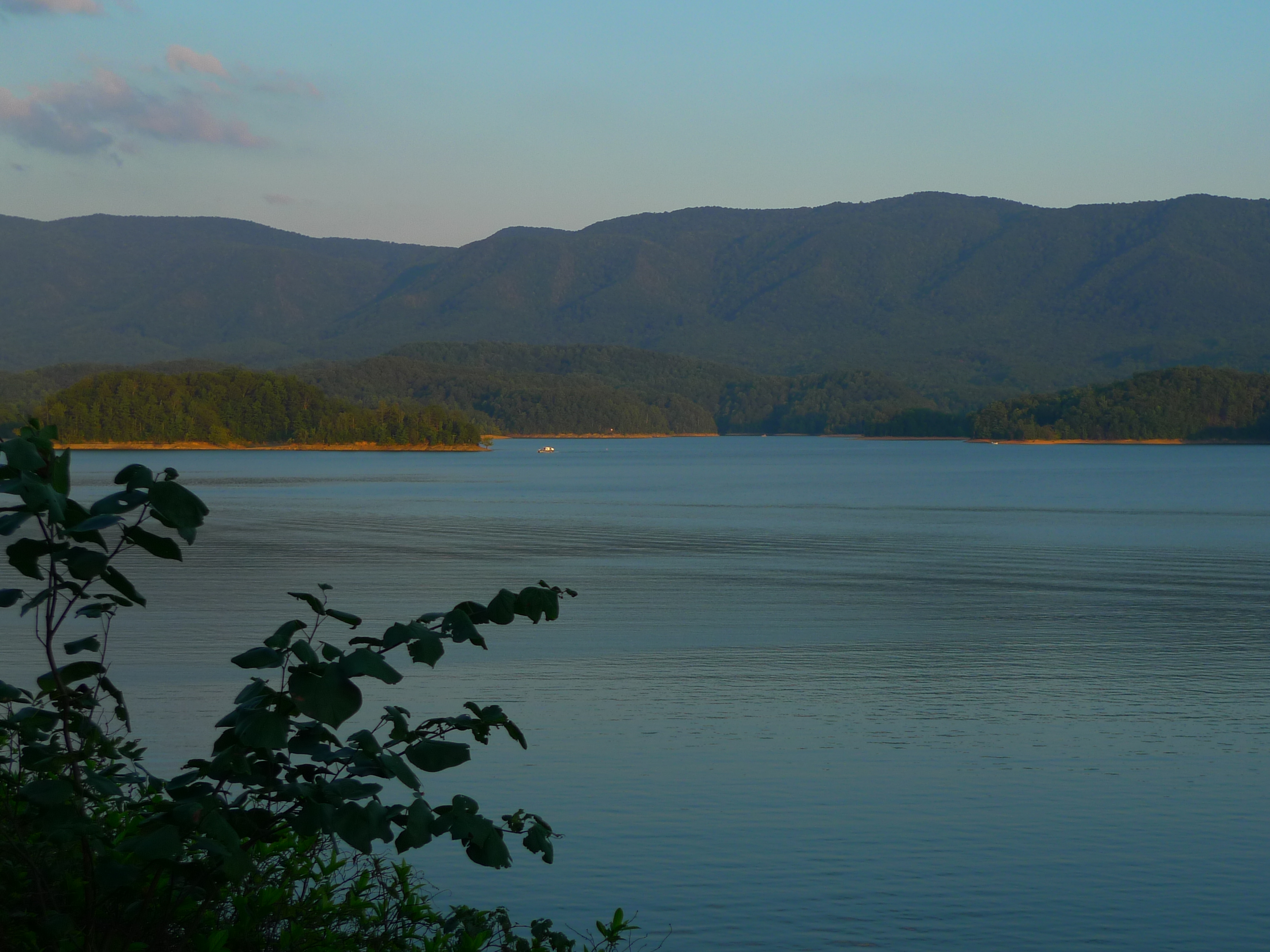
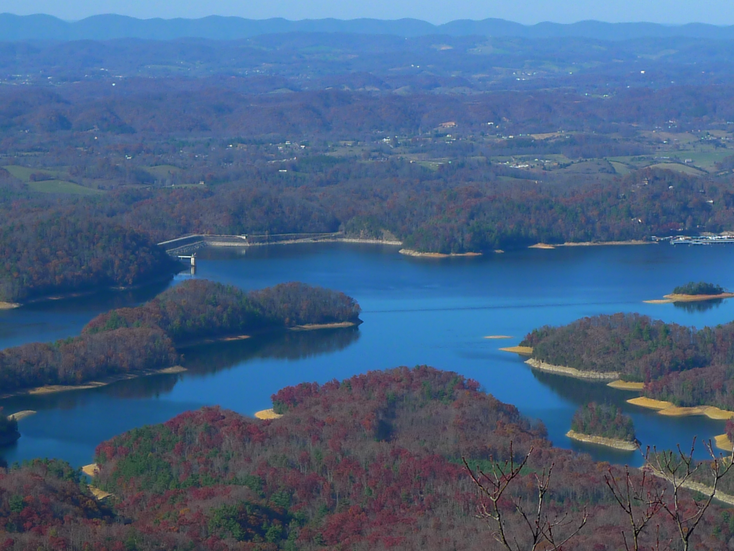
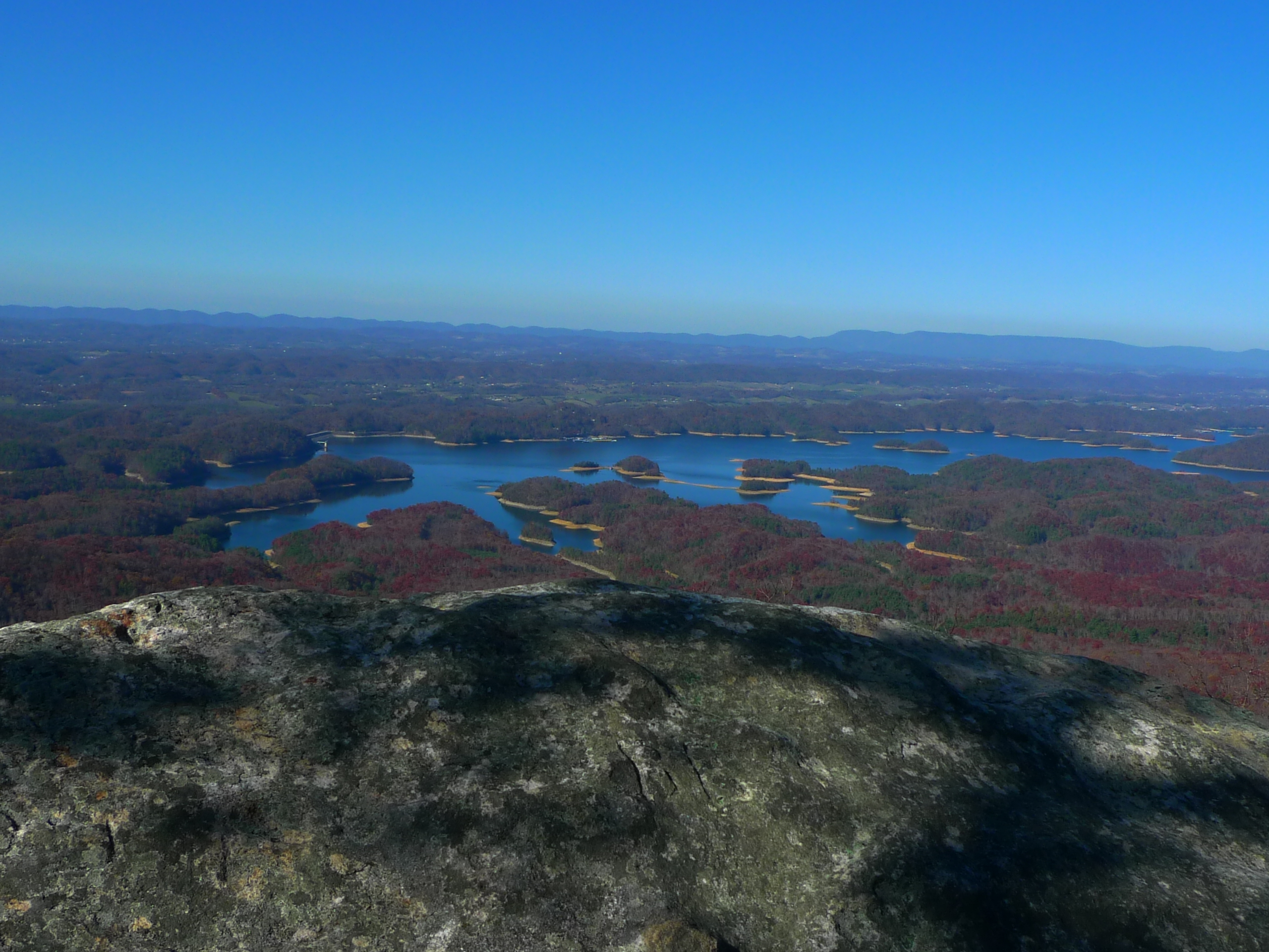
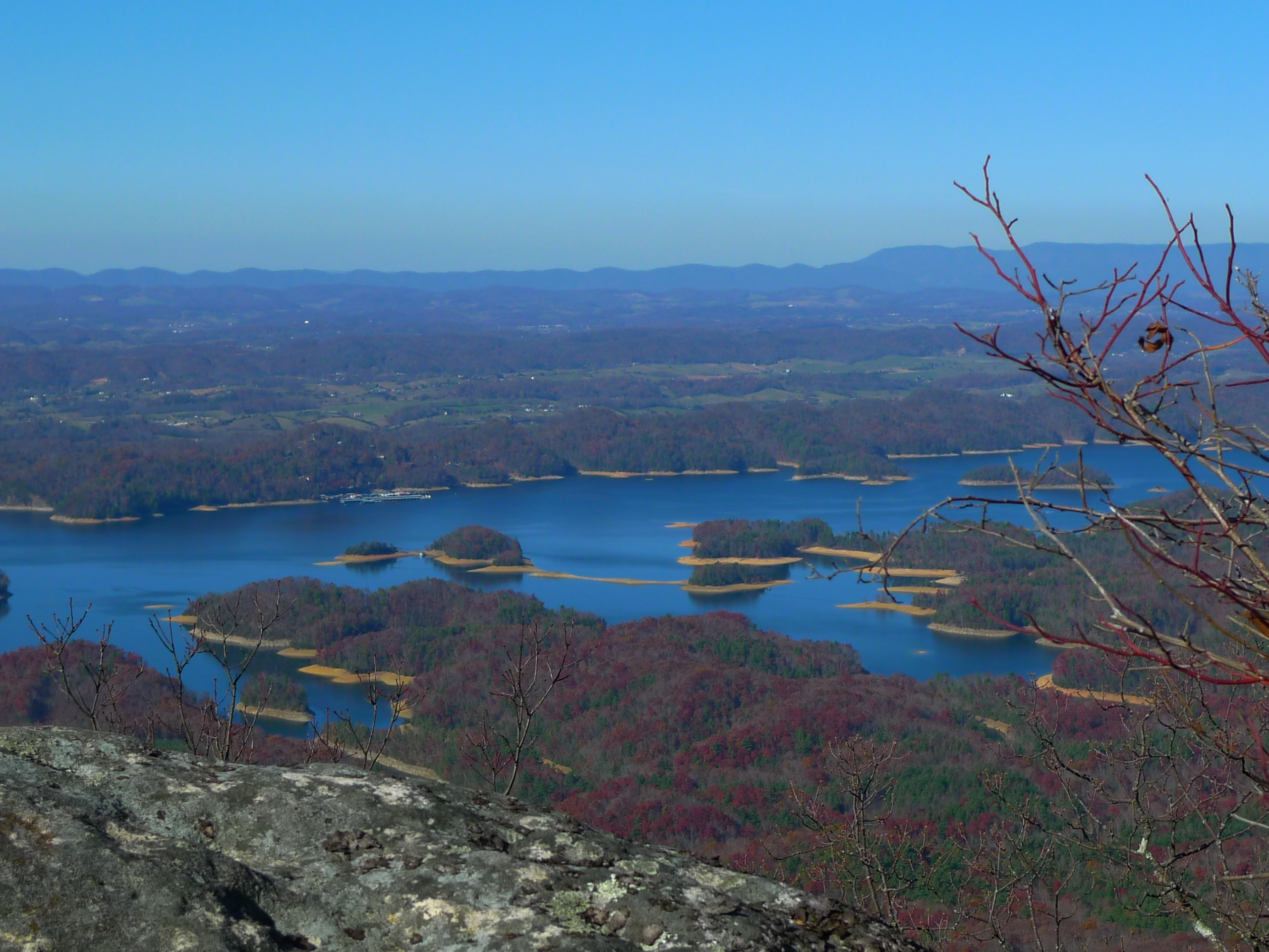
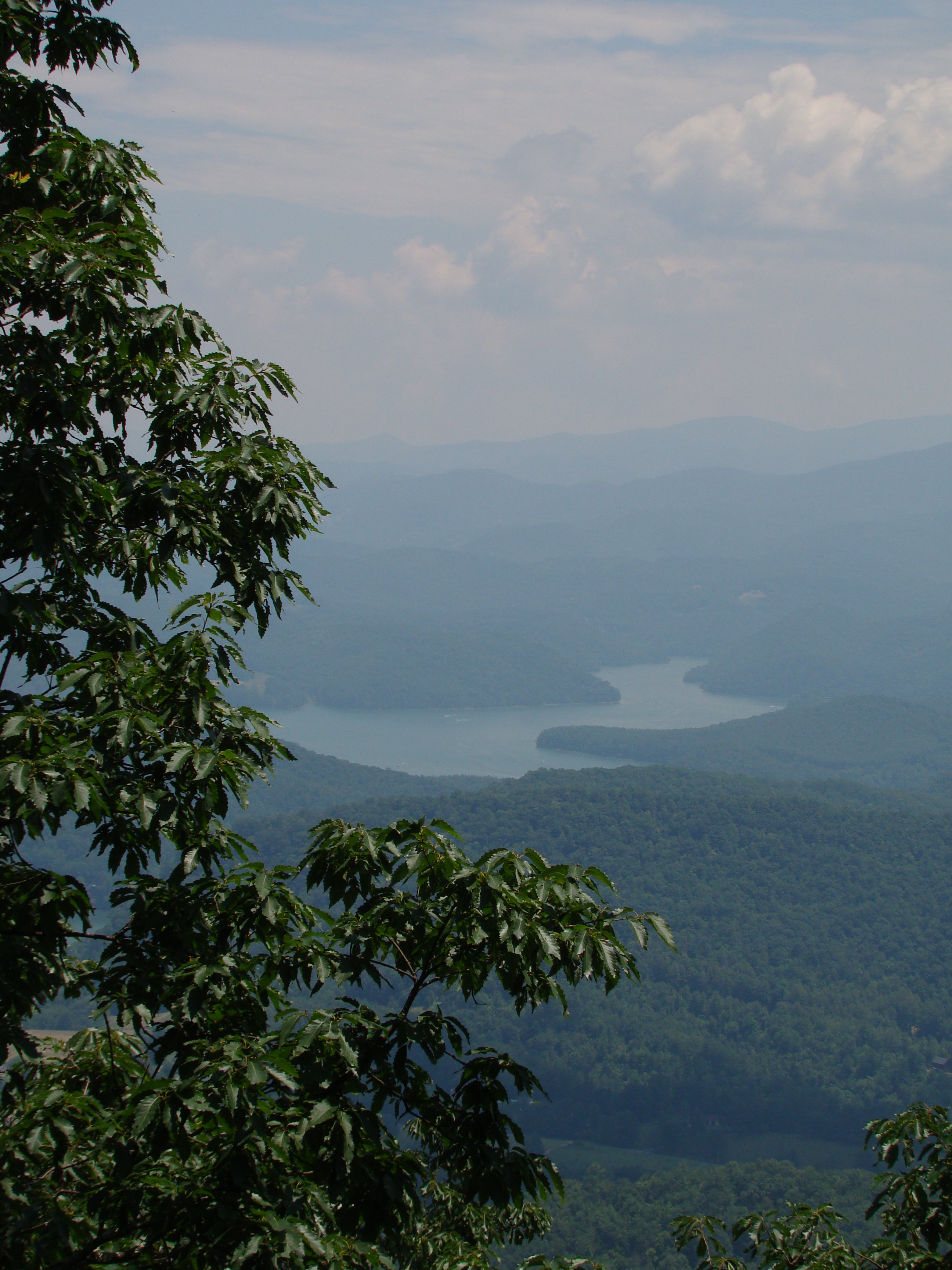
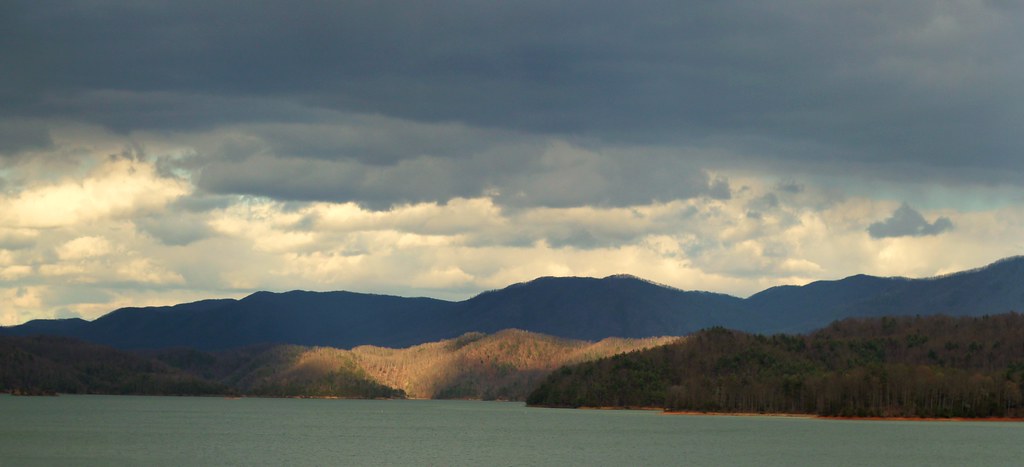
View of South Holston Lake
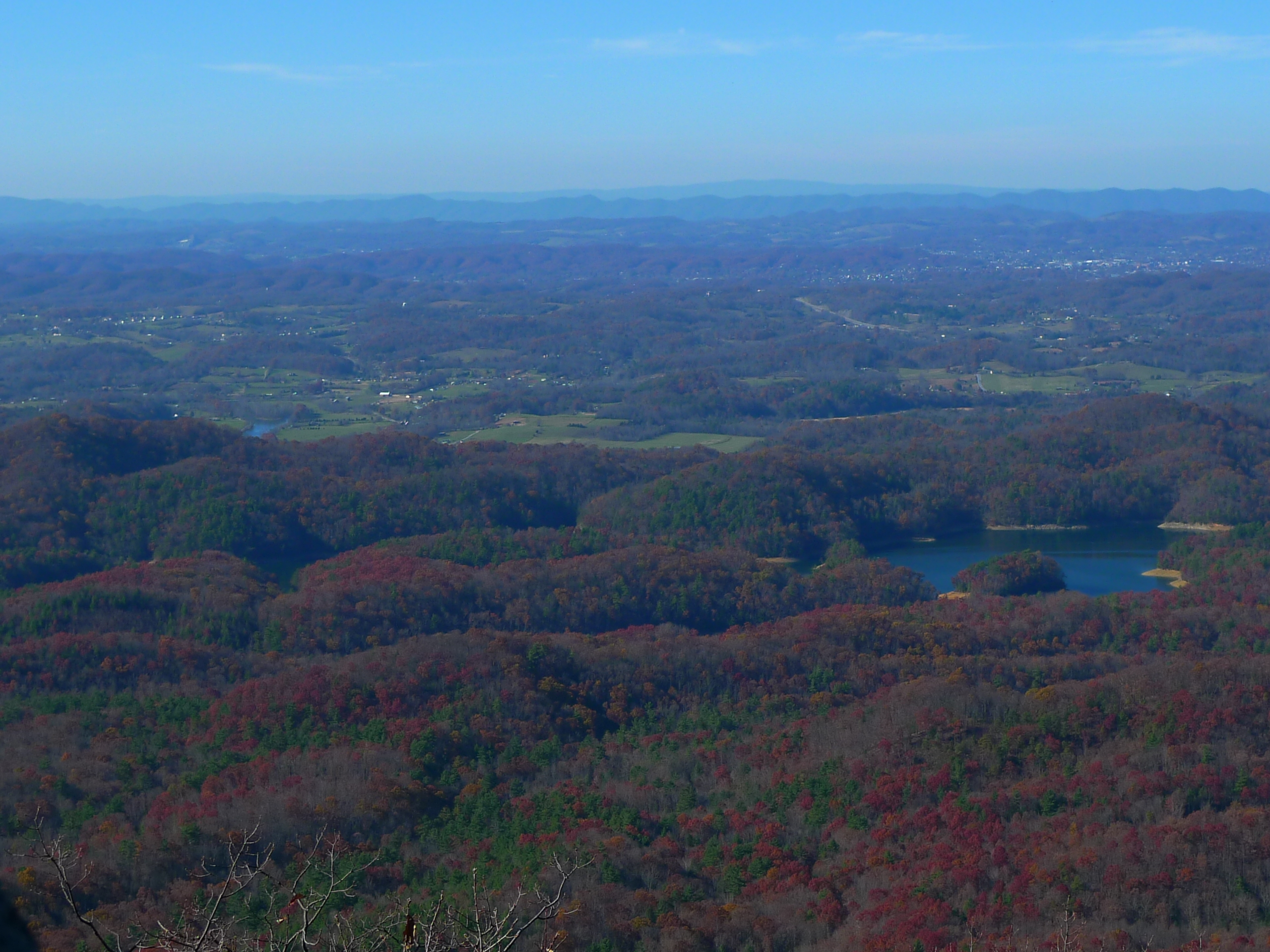
View from Flint Rock

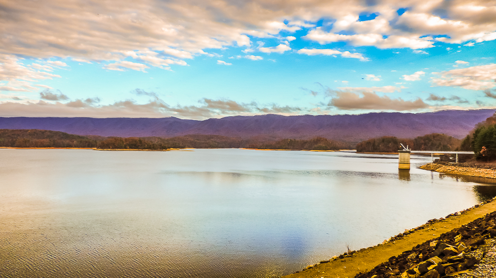
South Holston Lake
The view
AT Hike Sony 064
View From The Top #13
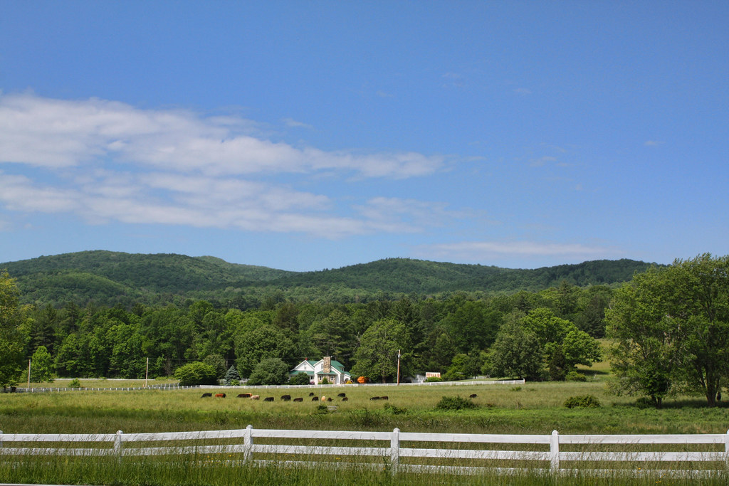
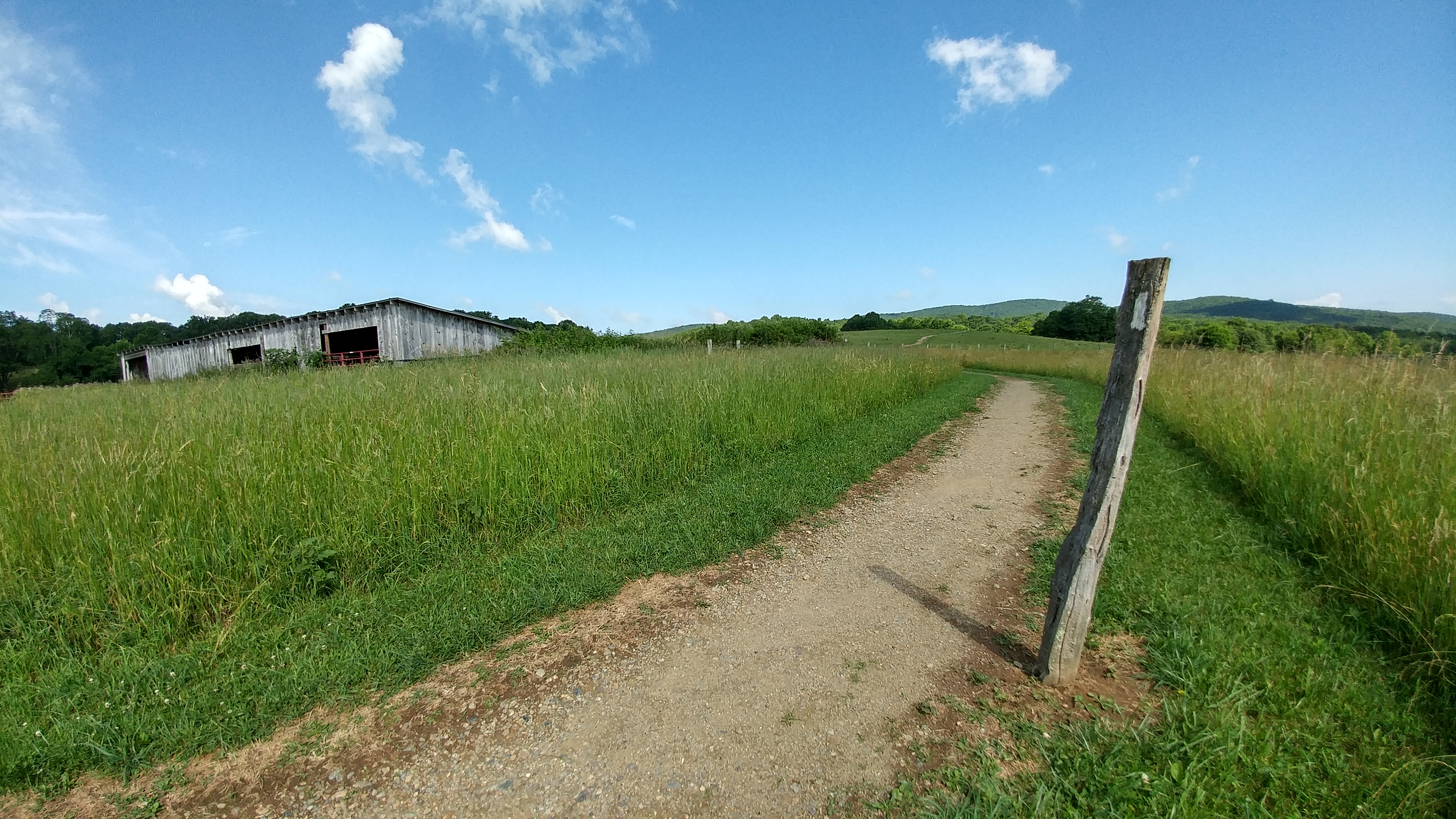
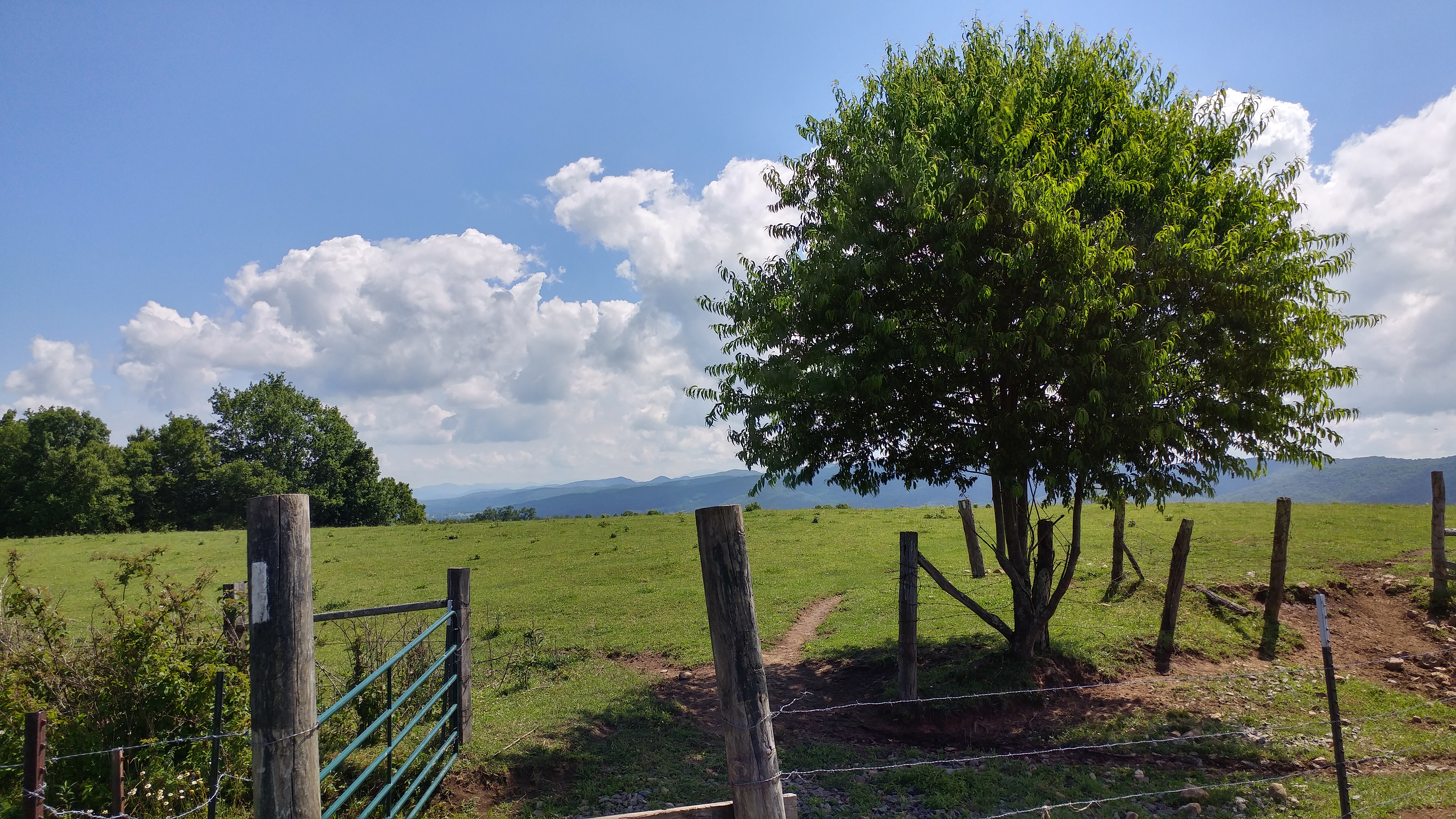
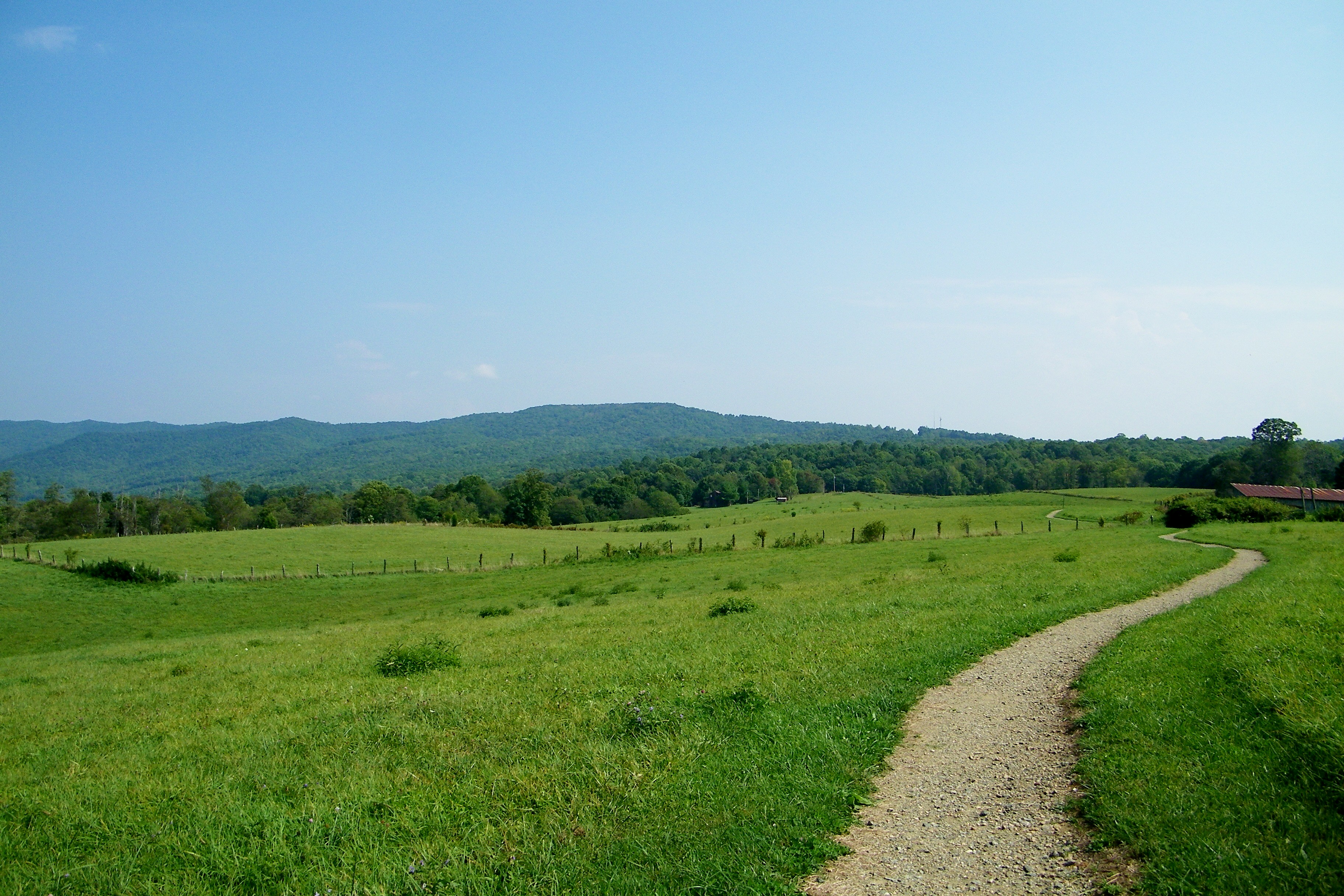
Shady Valley Farm
JFRM-2017-04-7441.jpg
Bristol TN/VA April 2011

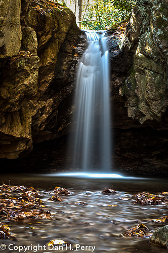
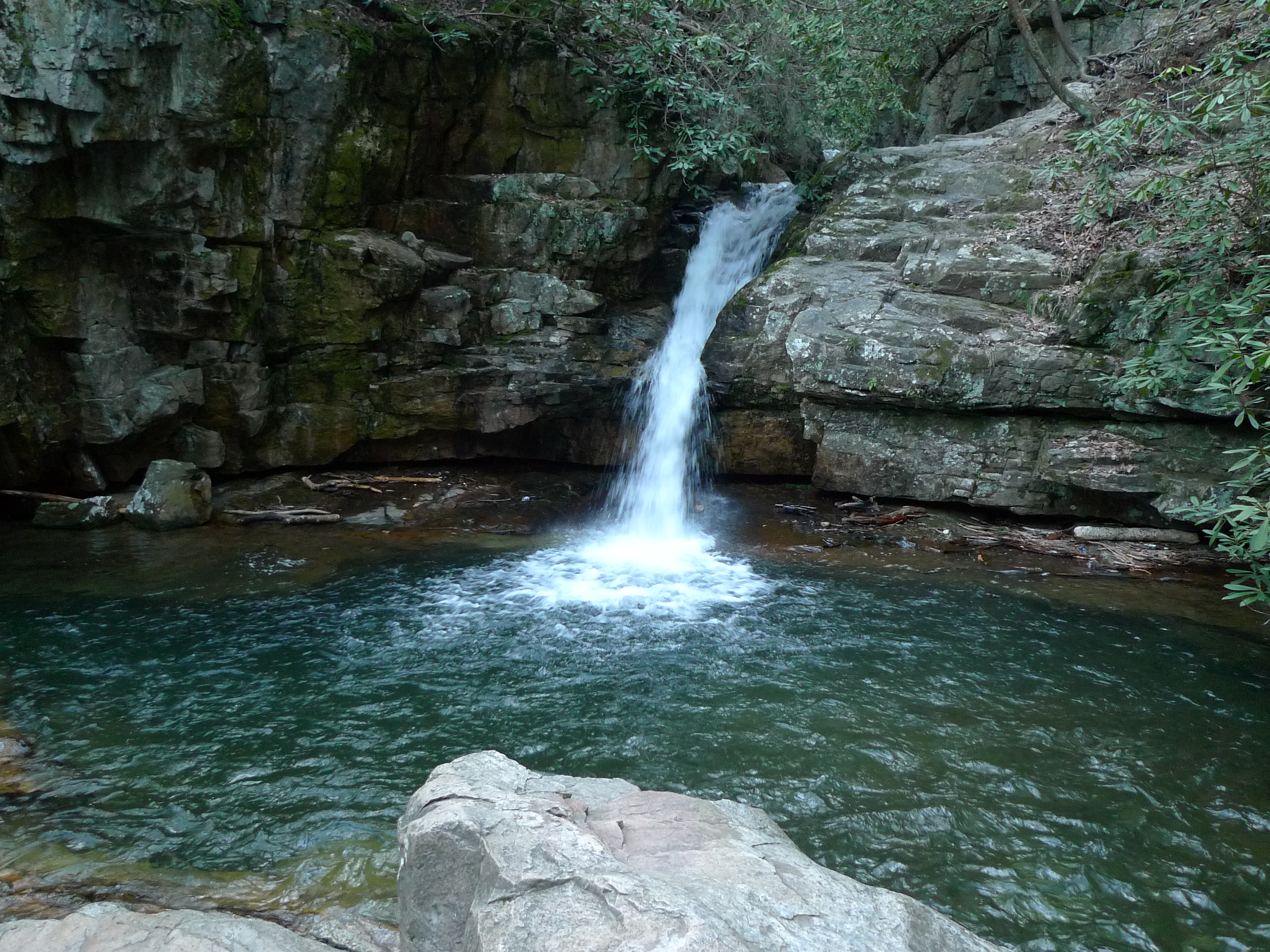
Blue Hole in the Snow
Bristol TN/VA April 2011
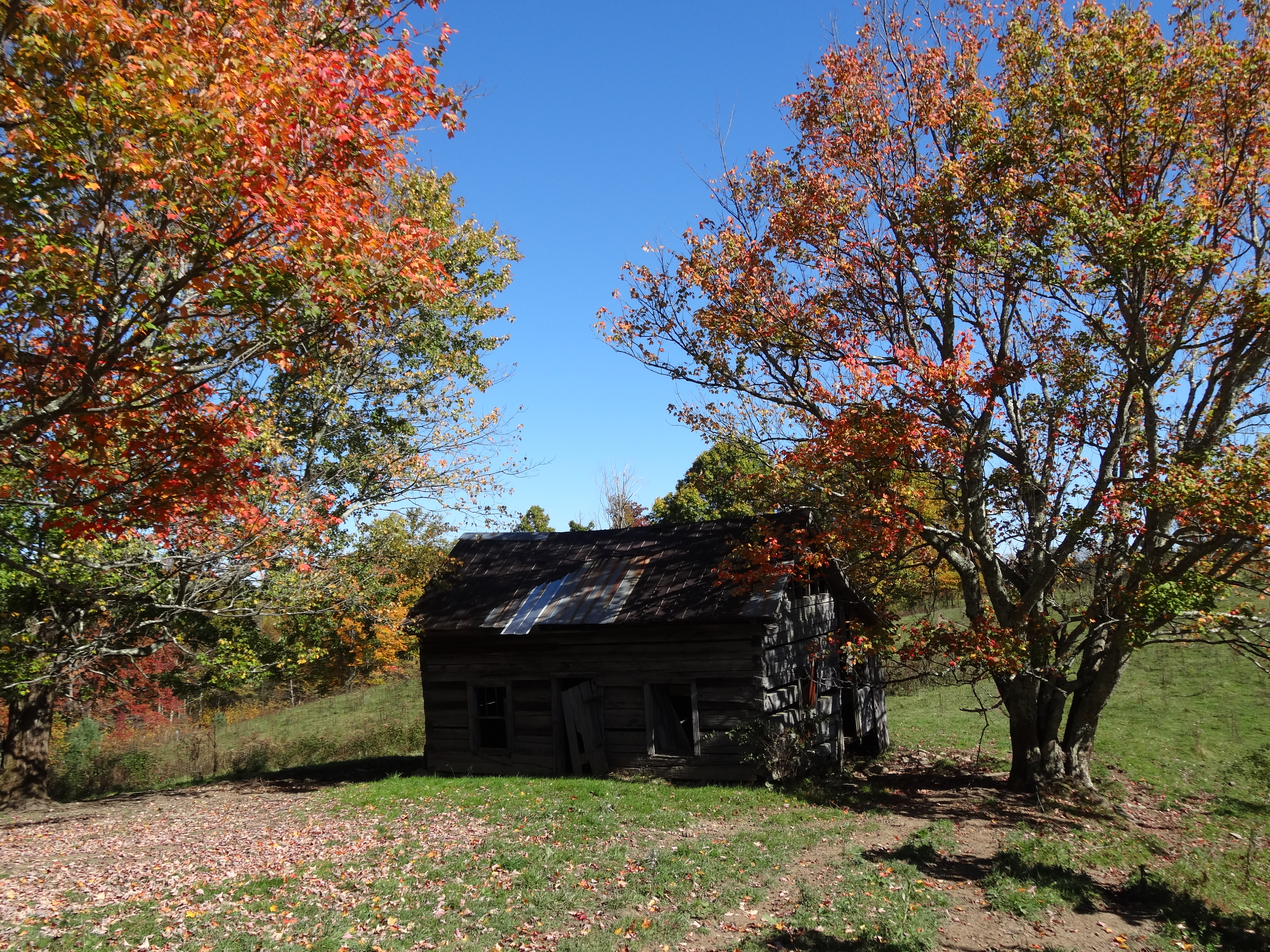
Old Cabin, Osborne Tract, Shady Valley, TN
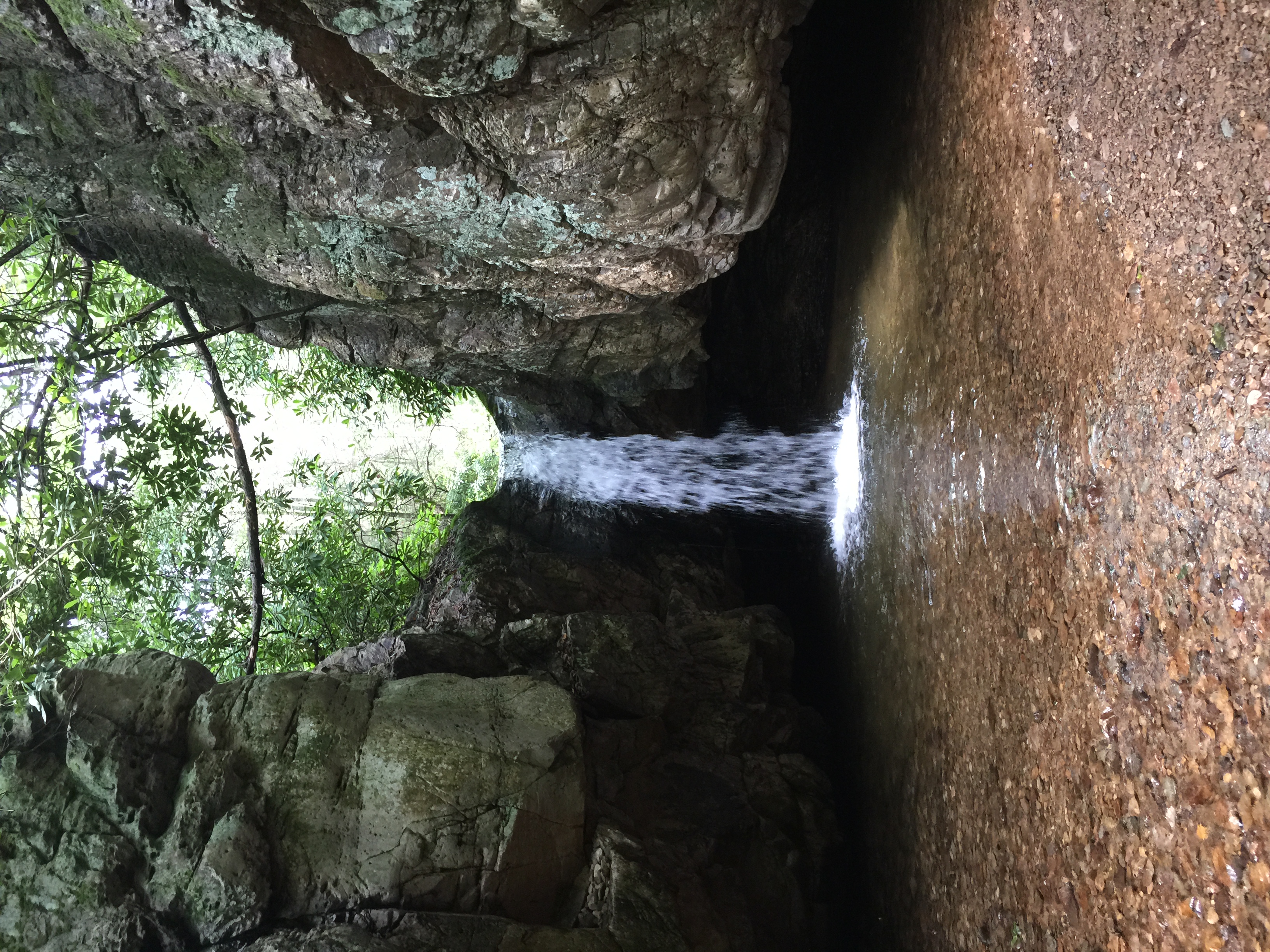
2012_10_21_8304_Blue_Hole-Edit
Blue Hole in the Snow
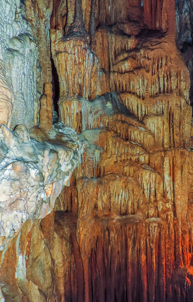
Bristol Caverns-9205

Holston Dam
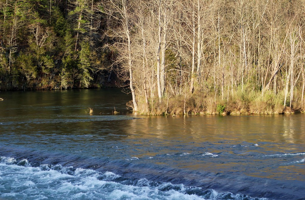
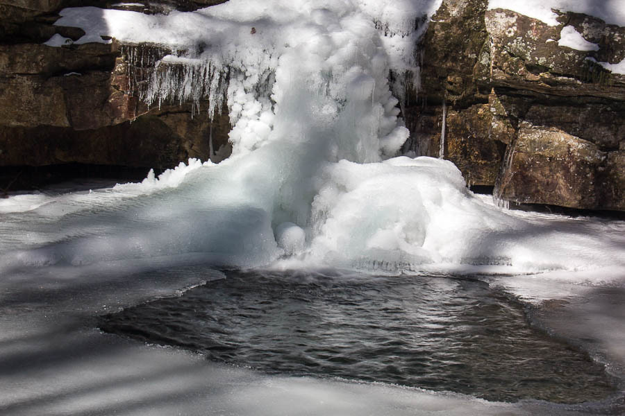
Blue Hole Lower

South Holston Dam-9373
IMG00325-20101024-1735
Favorites from iPhone

Favorites from iPhone
South Holston Dam-9370
Topographic Map of Flint Rock, Tennessee, USA
Find elevation by address:

Places near Flint Rock, Tennessee, USA:
181 Dugger Branch Rd
222 Bulldog Hollow
230 Bulldog Hollow
120 Clyde White Rd
116 Forest Crest Ln
Estep Hollow Road
251 Estep Hollow Rd
Largent Lane
178 Melody Ln
3095 Tn-91
152 Creekbank Rd
142 Creekbank Rd
103 Palms Ln
103 Palms Ln
252 Liberty Hollow Rd
754 Flatwoods Rd
South Holston Lake
615 Pemberton Rd
187 Muddy Branch Rd
Bristol, TN, USA
Recent Searches:
- Elevation of 3 Nestling Wood Dr, Long Valley, NJ, USA
- Elevation of Ilungu, Tanzania
- Elevation of Yellow Springs Road, Yellow Springs Rd, Chester Springs, PA, USA
- Elevation of Rēzekne Municipality, Latvia
- Elevation of Plikpūrmaļi, Vērēmi Parish, Rēzekne Municipality, LV-, Latvia
- Elevation of 2 Henschke Ct, Caboolture QLD, Australia
- Elevation of Redondo Ave, Long Beach, CA, USA
- Elevation of Sadovaya Ulitsa, 20, Rezh, Sverdlovskaya oblast', Russia
- Elevation of Ulitsa Kalinina, 79, Rezh, Sverdlovskaya oblast', Russia
- Elevation of 72-31 Metropolitan Ave, Middle Village, NY, USA