Elevation of TN-69A, Big Sandy, TN, USA
Location: United States > Tennessee > Benton County > Big Sandy >
Longitude: -88.087214
Latitude: 36.216405
Elevation: 140m / 459feet
Barometric Pressure: 100KPa
Elevation Map:
Satellite Map:
Related Photos:
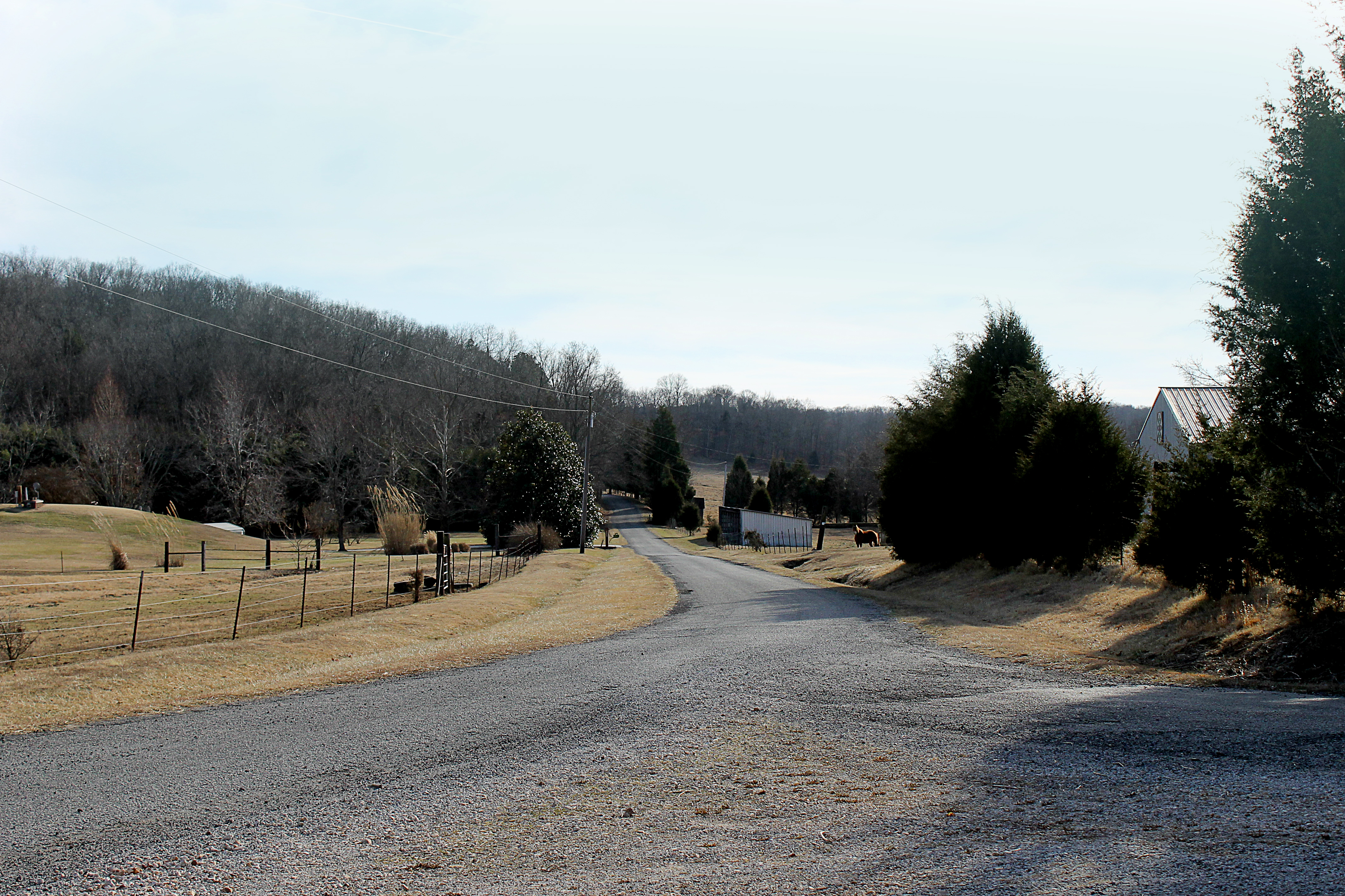
Beautiful View
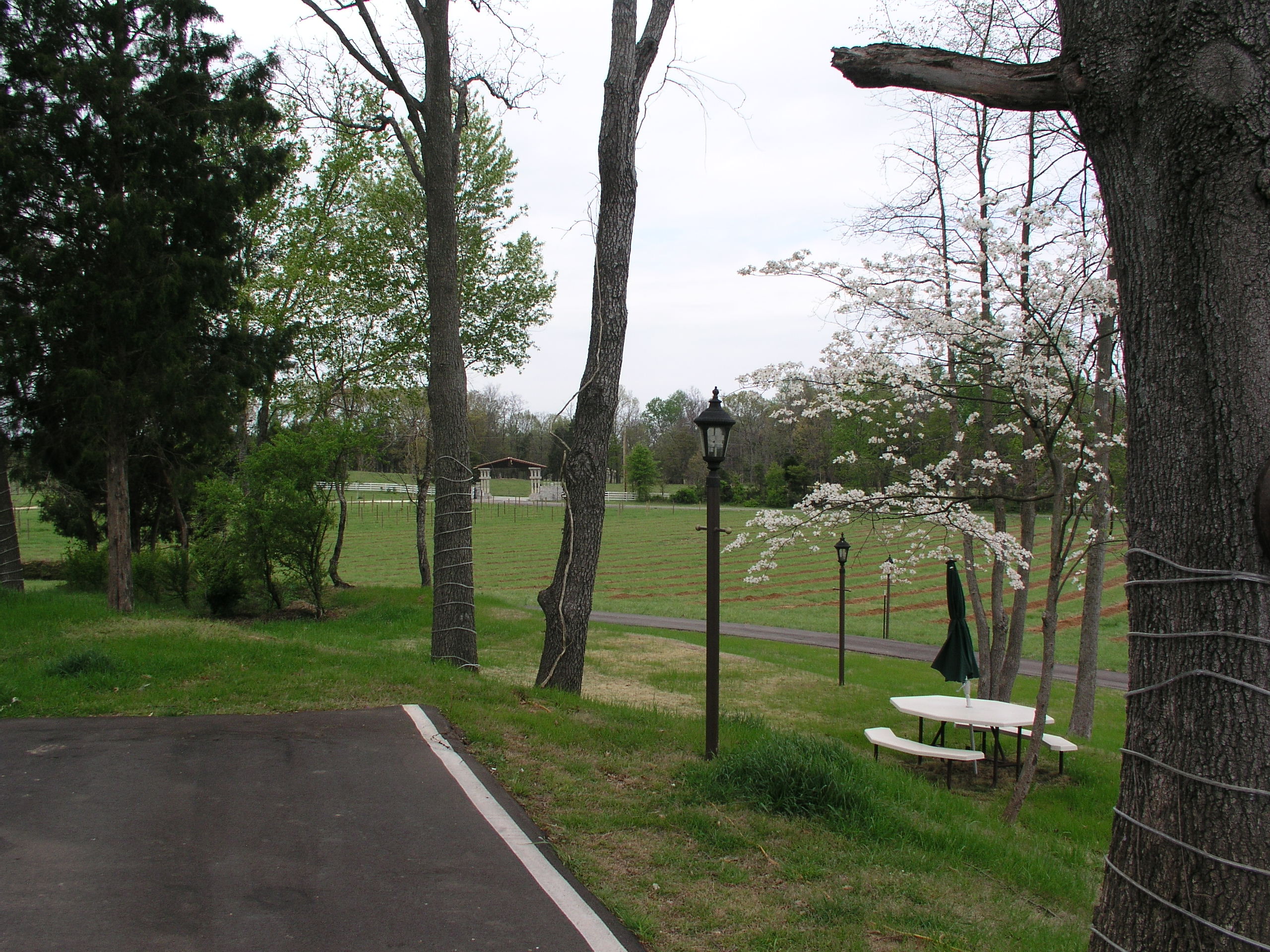
April in Paris
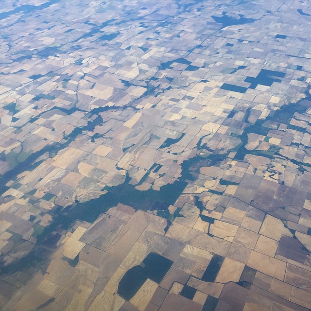
Landscape checkerboard

Wild Mustard Sinapis arvensis_7767

Tennessee River at Danville (Houston County)

Sunny Winter Day

L&N 6339, Big Sandy,TN
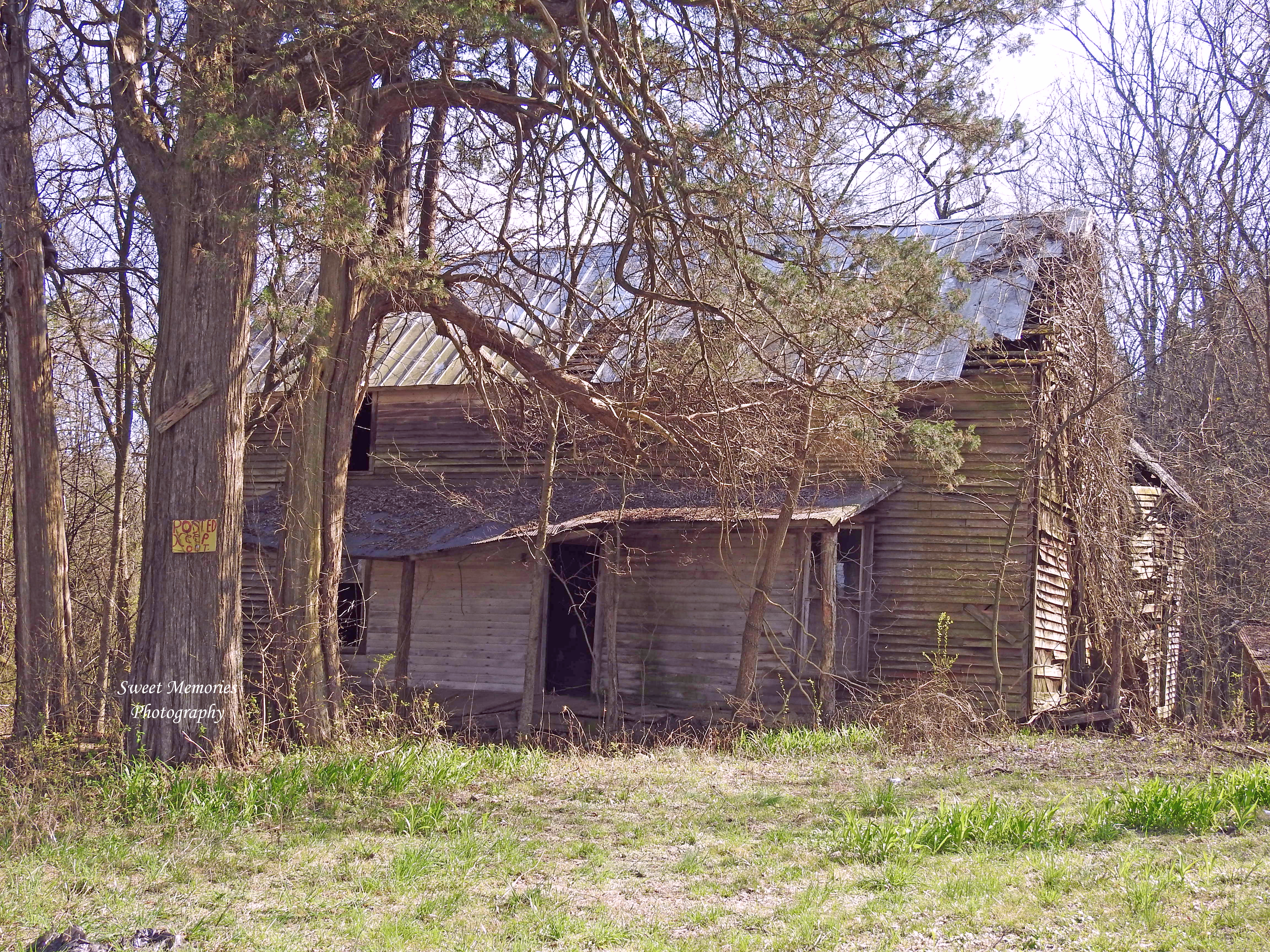
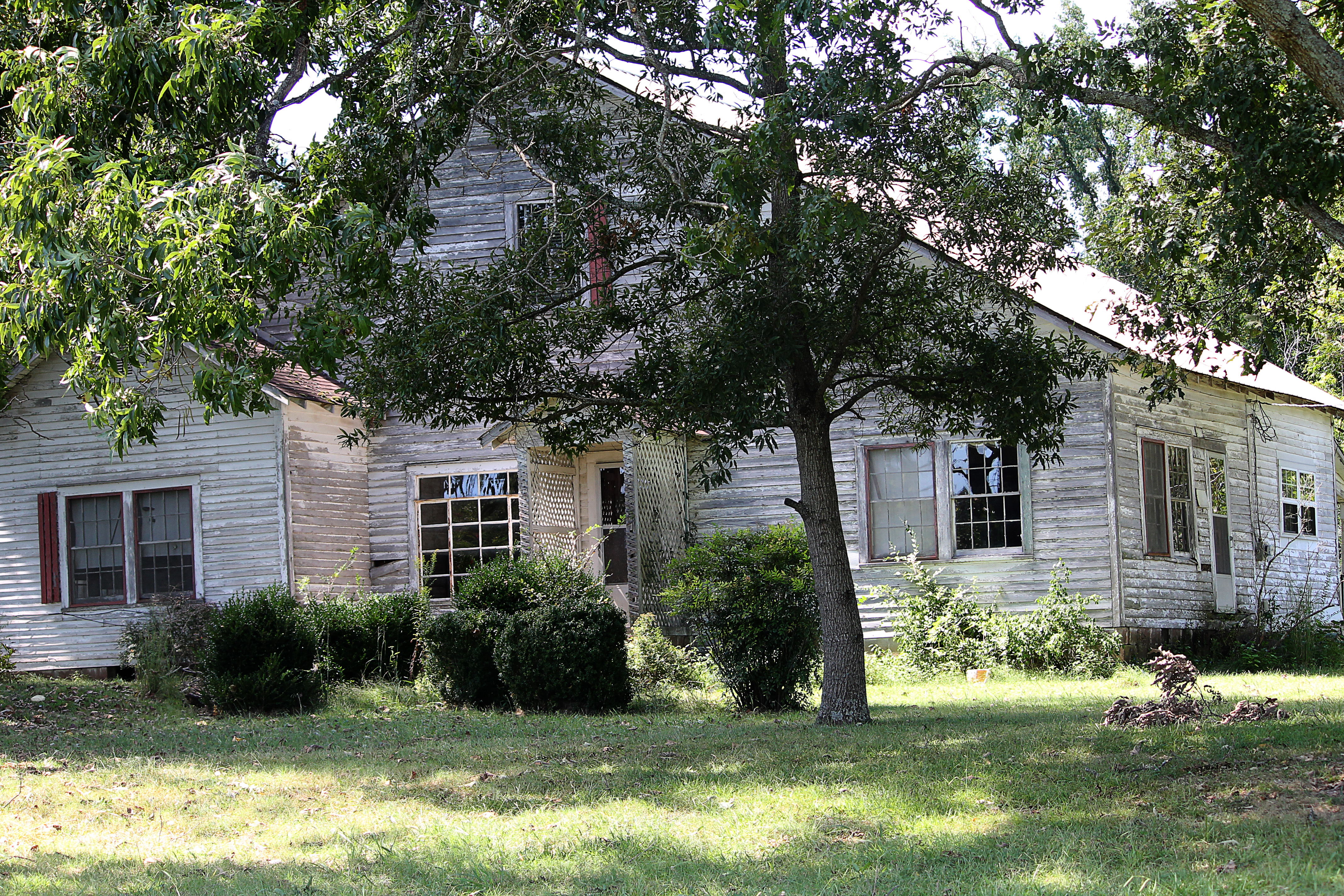
Reynoldsburg Road House

Turkey Crossing

Icicles on the Creek

Reflections along the Creek

Beaverdam Creek

Purple Phlox

River Road Sunset
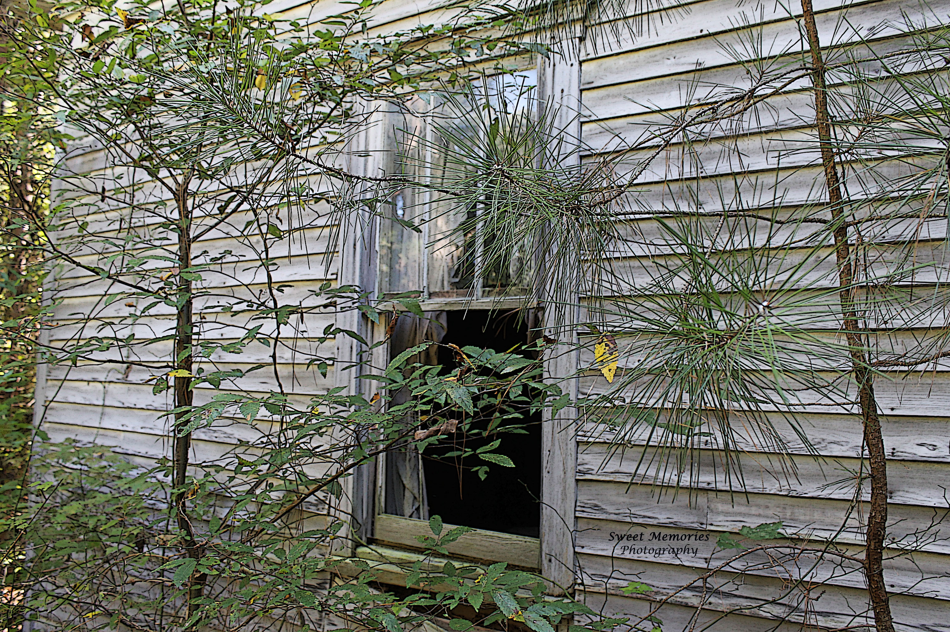
Open Window

Old Chimney

Front Porch Tales
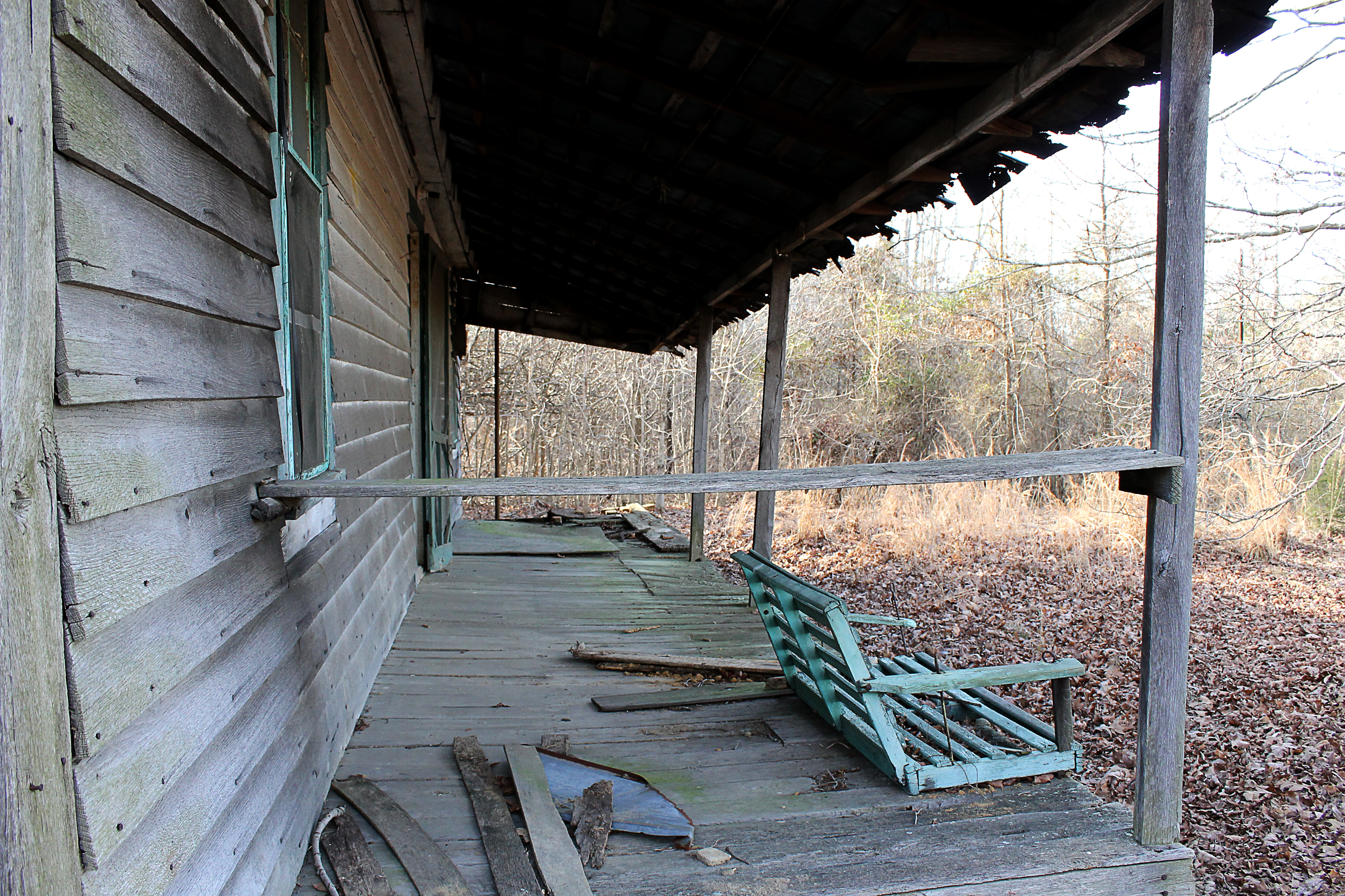
Front Porch
Big Sandy River Road

April in Paris

Fire-fighting facilityPLH322

Fire-fighting facility

Fire-fighting facilityPLP414 Pond
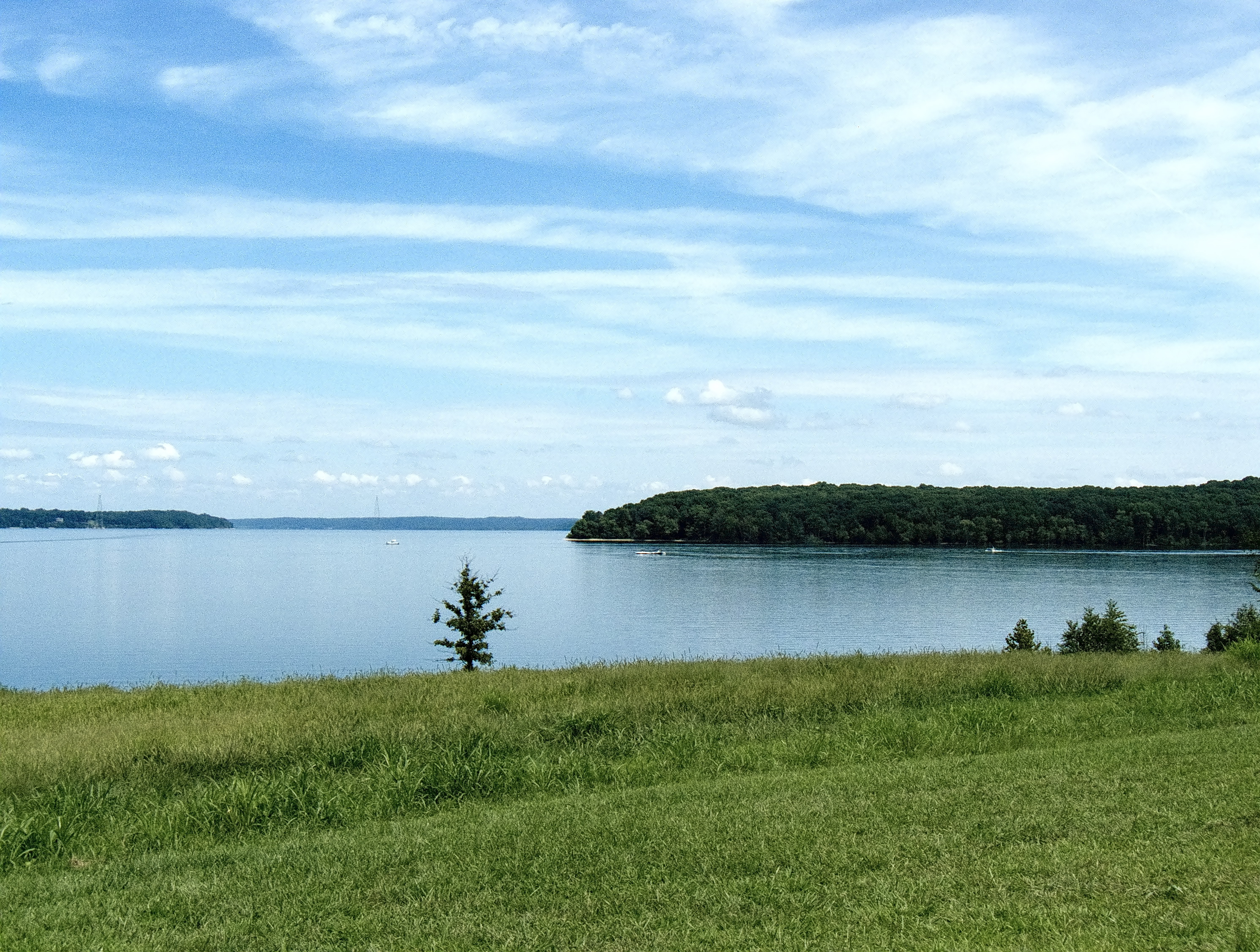
Tennessee National Wildlife Refuge

Tennessee National Wildlife Refuge

Tennessee National Wildlife Refuge
Topographic Map of TN-69A, Big Sandy, TN, USA
Find elevation by address:

Places near TN-69A, Big Sandy, TN, USA:
12435 Tn-69a
12435 Tn-69a
12435 Tn-69a
12435 Tn-69a
12595 Tn-69a
12435 Tn-69a
12435 Tn-69a
Big Sandy
50 Tn-147
45 Holland Rd
Springville
33 Sandy Ln, Holladay, TN, USA
4601 Manleyville Rd
4601 Manleyville Rd
100 Pleasant View Resort Rd
Benton County
165 Hammond Rd
930 Pleasant Hill Rd
930 Pleasant Hill Rd
Pleasant Hill Rd, Mansfield, TN, USA
Recent Searches:
- Elevation of Vista Blvd, Sparks, NV, USA
- Elevation of 15th Ave SE, St. Petersburg, FL, USA
- Elevation of Beall Road, Beall Rd, Florida, USA
- Elevation of Leguwa, Nepal
- Elevation of County Rd, Enterprise, AL, USA
- Elevation of Kolchuginsky District, Vladimir Oblast, Russia
- Elevation of Shustino, Vladimir Oblast, Russia
- Elevation of Lampiasi St, Sarasota, FL, USA
- Elevation of Elwyn Dr, Roanoke Rapids, NC, USA
- Elevation of Congressional Dr, Stevensville, MD, USA