Elevation of Big Sandy, TN, USA
Location: United States > Tennessee > Benton County >
Longitude: -88.085314
Latitude: 36.2347791
Elevation: 112m / 367feet
Barometric Pressure: 100KPa
Elevation Map:
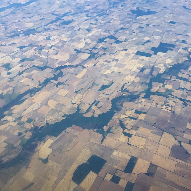
Satellite Map:
Related Photos:

Beautiful View

April in Paris

Big Sandy,TN
Landscape checkerboard

Tennessee River

Tennessee River

Tennessee River

Tennessee River

Tennessee River

Ferry Ride on TN River

Tennessee River

Tennessee River

Tennessee River at Danville (Houston County)
Topographic Map of Big Sandy, TN, USA
Find elevation by address:

Places in Big Sandy, TN, USA:
Places near Big Sandy, TN, USA:
50 Tn-147
12435 Tn-69a
12435 Tn-69a
12435 Tn-69a
12435 Tn-69a
12435 Tn-69a
12595 Tn-69a
12435 Tn-69a
12435 Tn-69a
Springville
45 Holland Rd
4601 Manleyville Rd
4601 Manleyville Rd
100 Pleasant View Resort Rd
33 Sandy Ln, Holladay, TN, USA
Bass Bay Rd, Big Sandy, TN, USA
930 Pleasant Hill Rd
930 Pleasant Hill Rd
Benton County
Pleasant Hill Rd, Mansfield, TN, USA
Recent Searches:
- Elevation of Rojo Ct, Atascadero, CA, USA
- Elevation of Flagstaff Drive, Flagstaff Dr, North Carolina, USA
- Elevation of Avery Ln, Lakeland, FL, USA
- Elevation of Woolwine, VA, USA
- Elevation of Lumagwas Diversified Farmers Multi-Purpose Cooperative, Lumagwas, Adtuyon, RV32+MH7, Pangantucan, Bukidnon, Philippines
- Elevation of Homestead Ridge, New Braunfels, TX, USA
- Elevation of Orchard Road, Orchard Rd, Marlborough, NY, USA
- Elevation of 12 Hutchinson Woods Dr, Fletcher, NC, USA
- Elevation of Holloway Ave, San Francisco, CA, USA
- Elevation of Norfolk, NY, USA