Elevation of TN-28, Jasper, TN, USA
Location: United States > Tennessee > Marion County > Jasper >
Longitude: -85.629439
Latitude: 35.0512154
Elevation: 210m / 689feet
Barometric Pressure: 99KPa
Elevation Map:
Satellite Map:
Related Photos:

Lawyers Building 1920-1954 - Jasper, Tennessee

Tennessee Mountain Highway - Marion County

Another View of a Sugar Cane Mill

Goodbye...Tell Your Friends...

Nickajack Cave Wildlife Refuge

Nickajack Cave Wildlife Refuge (view from Highway TN156)

Waterfalls and Redbuds

Sequatchie Cave
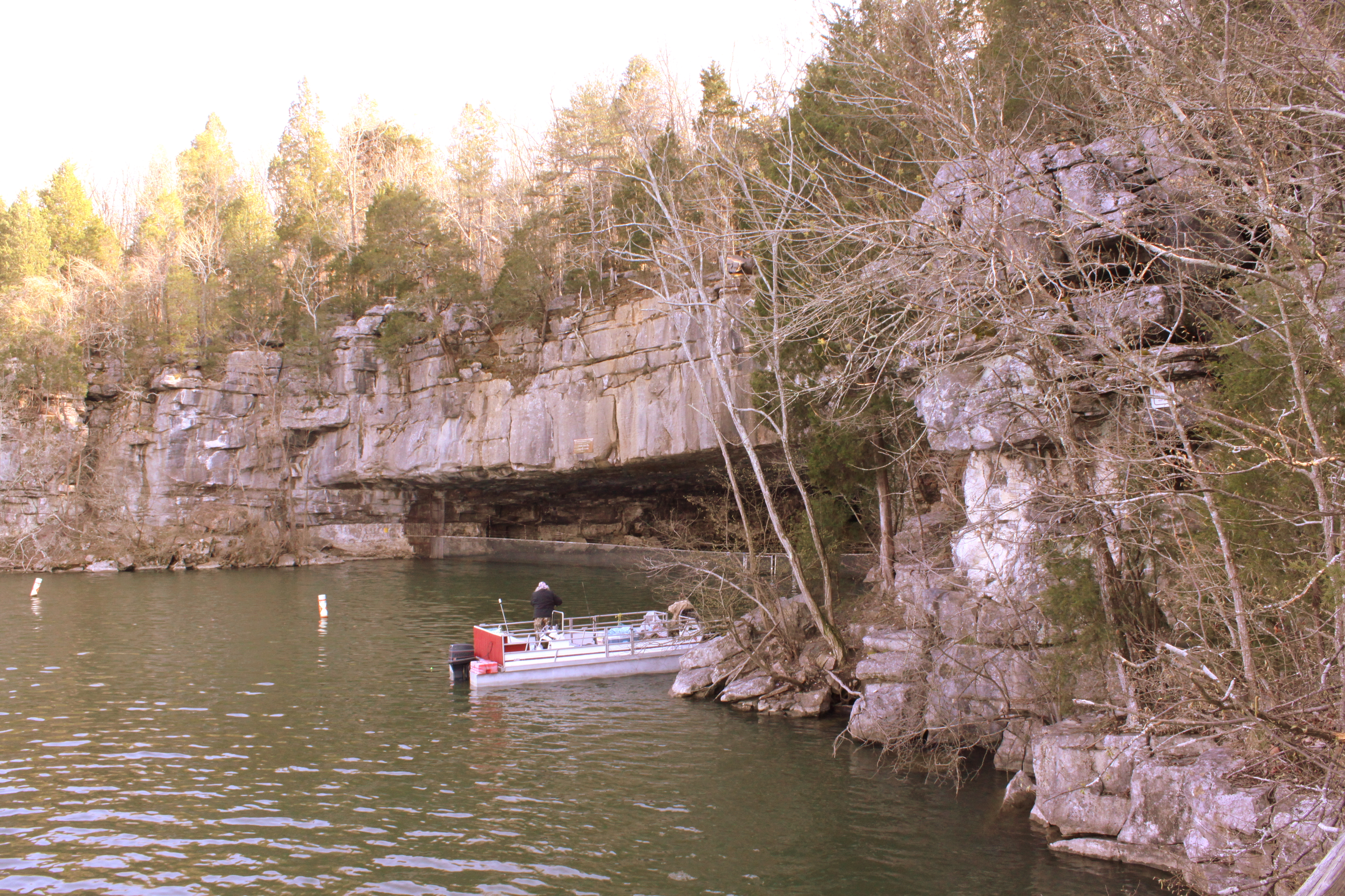
Nickajack Cave Wildlife Refuge
Shelby Reinhart Bridge 2

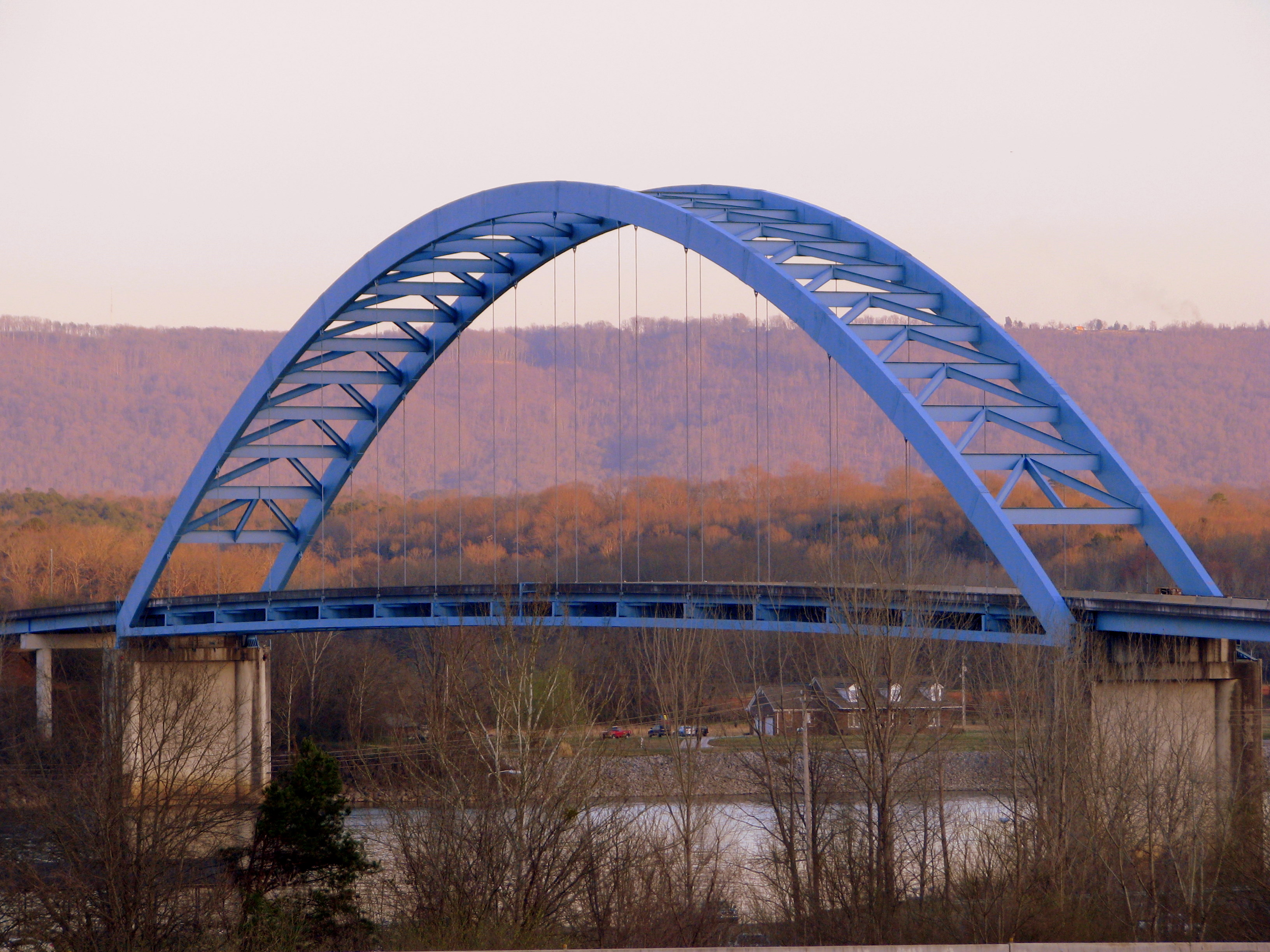
Marion Memorial Bridge & I-24 Bridge over Nickajack Lake

Bridgeport, AL Lift bridge

Frances Conner

Fosters Falls' Pool
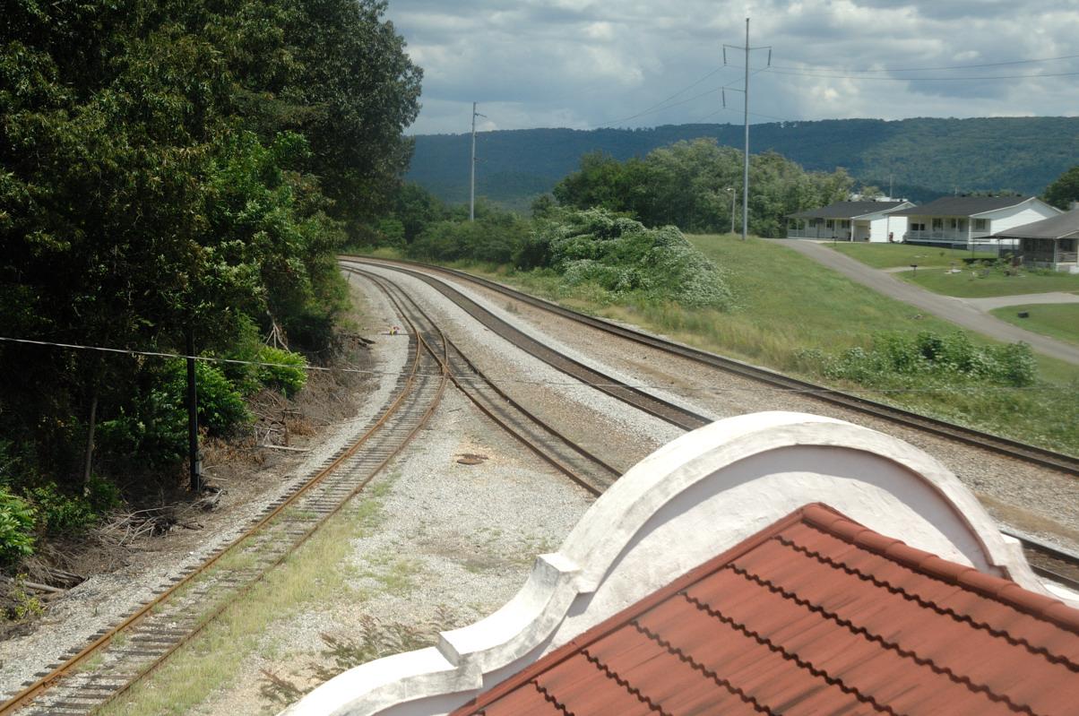
Bridgeport Depot (view from tower)

Sunset on Lake Nickajack

Whiteside Tunnel

Victoria, TN train depot

Bethel Church - Victoria, TN

Sequatchie Cave

Sequatchie Cave

Foster Falls

Foster Falls - Chattanooga TN

Golden Lines

V163 Bridgeport Alabama

Sunset on Nickajack

Landscape stair walkway

Foster Falls

Foster Falls-2.jpg

running water creek trestle

Alabama!

Foster Falls #1

Q210 Shellmound Tennessee

CSX 5312 North Shellmound Tennessee

NS 107 (CSX Z376-10) at Nickajack Lake

Foster Falls (60')

On the Fiery Gizzard Trail

Foster Falls (60') & Horsehair Falls (80') from the Fiery Gizzard Trail
Topographic Map of TN-28, Jasper, TN, USA
Find elevation by address:

Places near TN-28, Jasper, TN, USA:
1133 Tn-28
1133 Tn-28
Phillips Road
Jasper
Executive Drive
Burns Island Rd, South Pittsburg, TN, USA
180 Francis Spring Rd
1102 Asher St
Kimball
Main St, Kimball, TN, USA
Marion County
809 Main St
US-41, Jasper, TN, USA
Mail Loop
New Hope
310 Kimball Crossing Dr
Cash Cove Road
E Hills Rd, Jasper, TN, USA
1950 Jasper Highlands Blvd
Jasper Highlands
Recent Searches:
- Elevation of Congressional Dr, Stevensville, MD, USA
- Elevation of Bellview Rd, McLean, VA, USA
- Elevation of Stage Island Rd, Chatham, MA, USA
- Elevation of Shibuya Scramble Crossing, 21 Udagawacho, Shibuya City, Tokyo -, Japan
- Elevation of Jadagoniai, Kaunas District Municipality, Lithuania
- Elevation of Pagonija rock, Kranto 7-oji g. 8"N, Kaunas, Lithuania
- Elevation of Co Rd 87, Jamestown, CO, USA
- Elevation of Tenjo, Cundinamarca, Colombia
- Elevation of Côte-des-Neiges, Montreal, QC H4A 3J6, Canada
- Elevation of Bobcat Dr, Helena, MT, USA