Elevation of E Hills Rd, Jasper, TN, USA
Location: United States > Tennessee > Marion County >
Longitude: -85.574901
Latitude: 35.064685
Elevation: 200m / 656feet
Barometric Pressure: 99KPa
Elevation Map:
Satellite Map:
Related Photos:
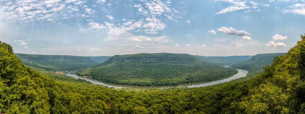
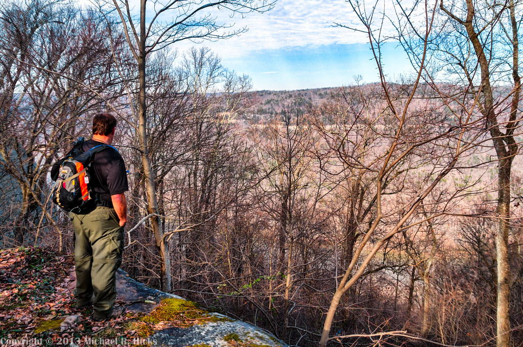
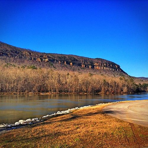
Mullen's Cove
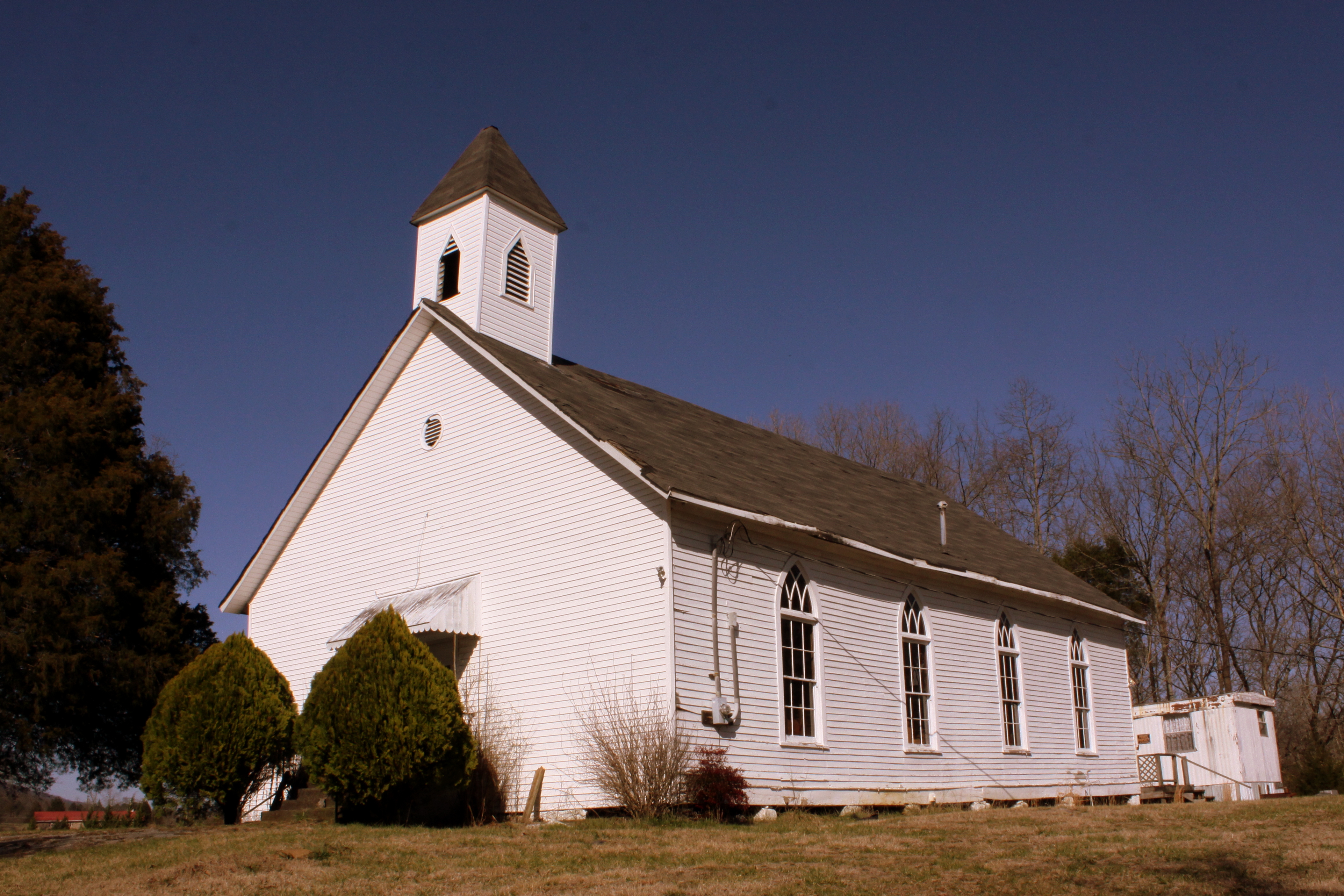
Bethel Church - Victoria, TN

Golden Lines

Vanishing Point
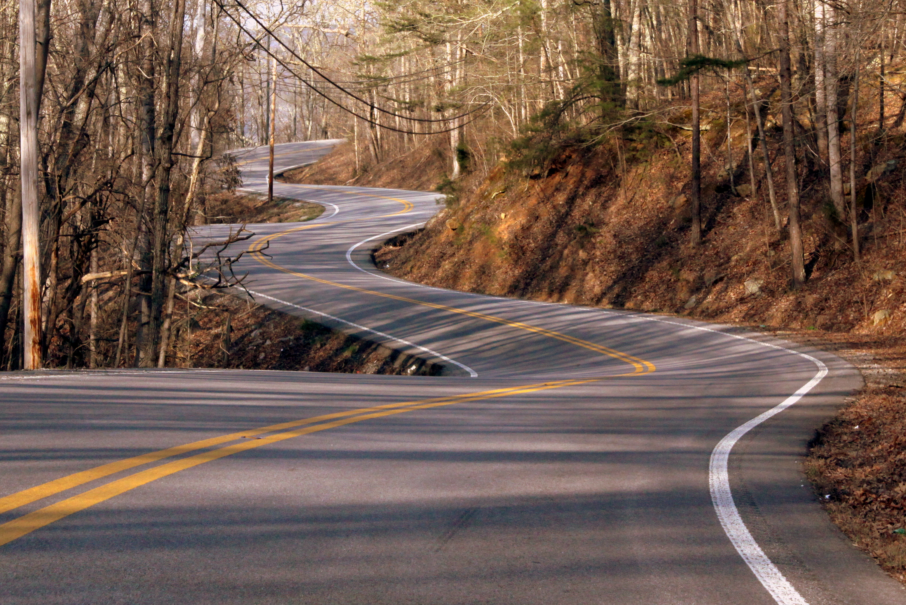
Tennessee Mountain Highway - Marion County
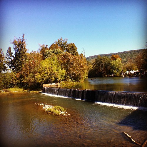
Weekend Festival - view from the Mill.

Raccoon Mountain Pumped-Storage Plant

Goodbye...Tell Your Friends...
Shelby Reinhart Bridge 2
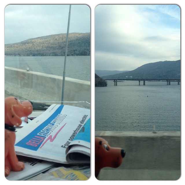
Enjoying a slightly different water view. #CliffordGoesToFlorida

Enjoying the View
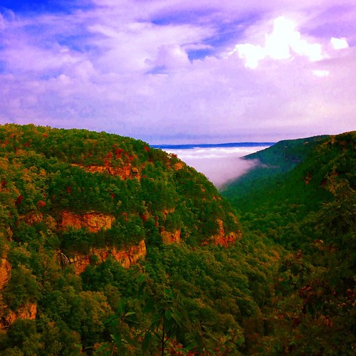
Fall is creeping into Cloudland Canyon State Park. Beautiful view. Guess why they called in 'Cloud'land. Look at those clouds. @gastateparks
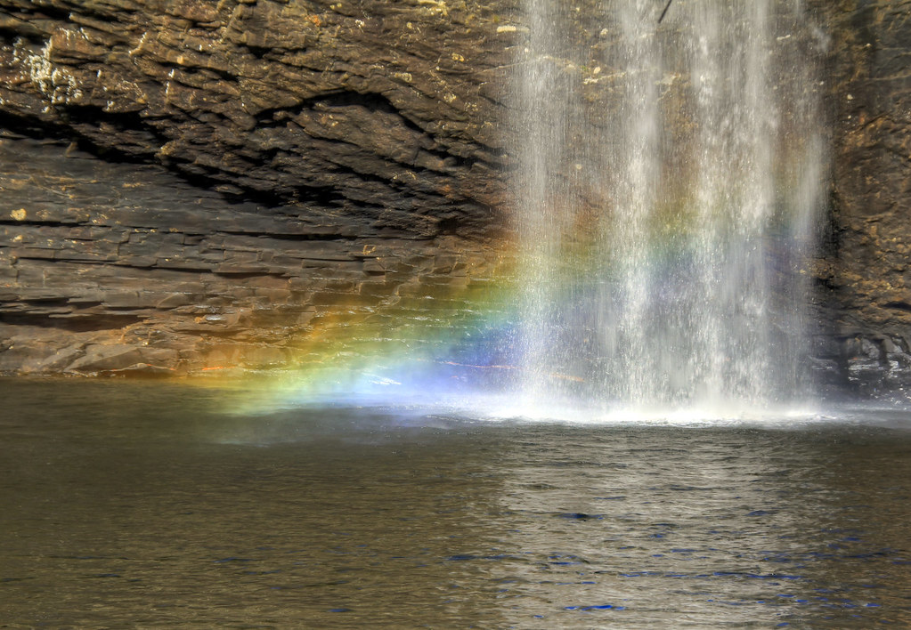
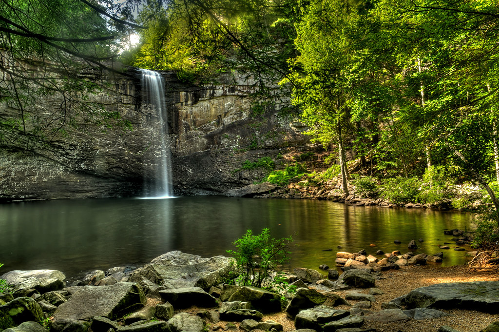
Fosters Falls' Pool
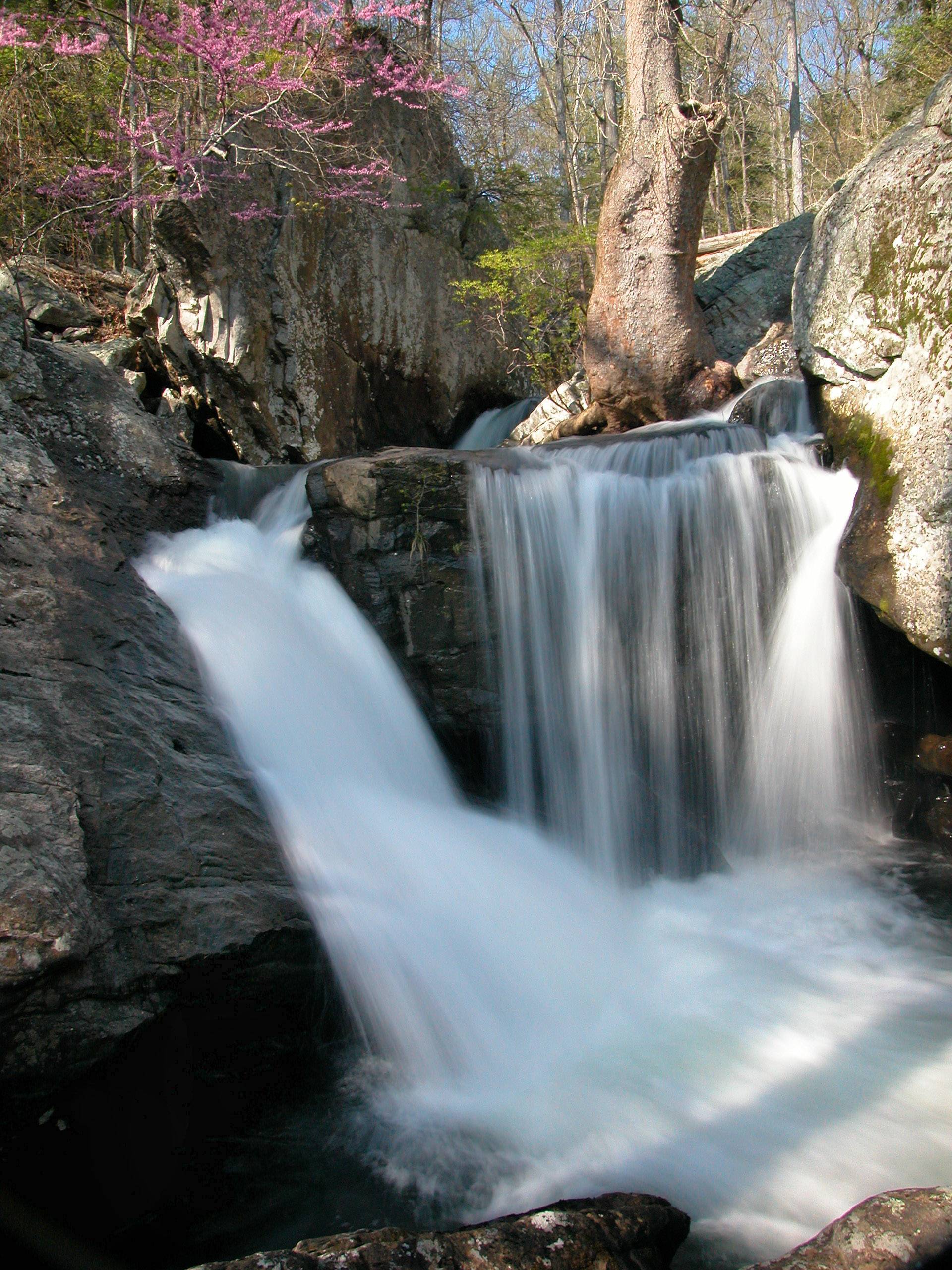
Waterfalls and Redbuds
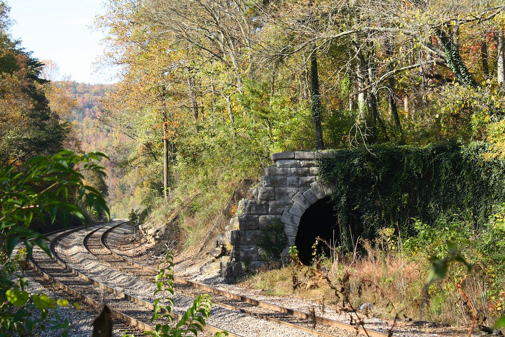
Whiteside Tunnel
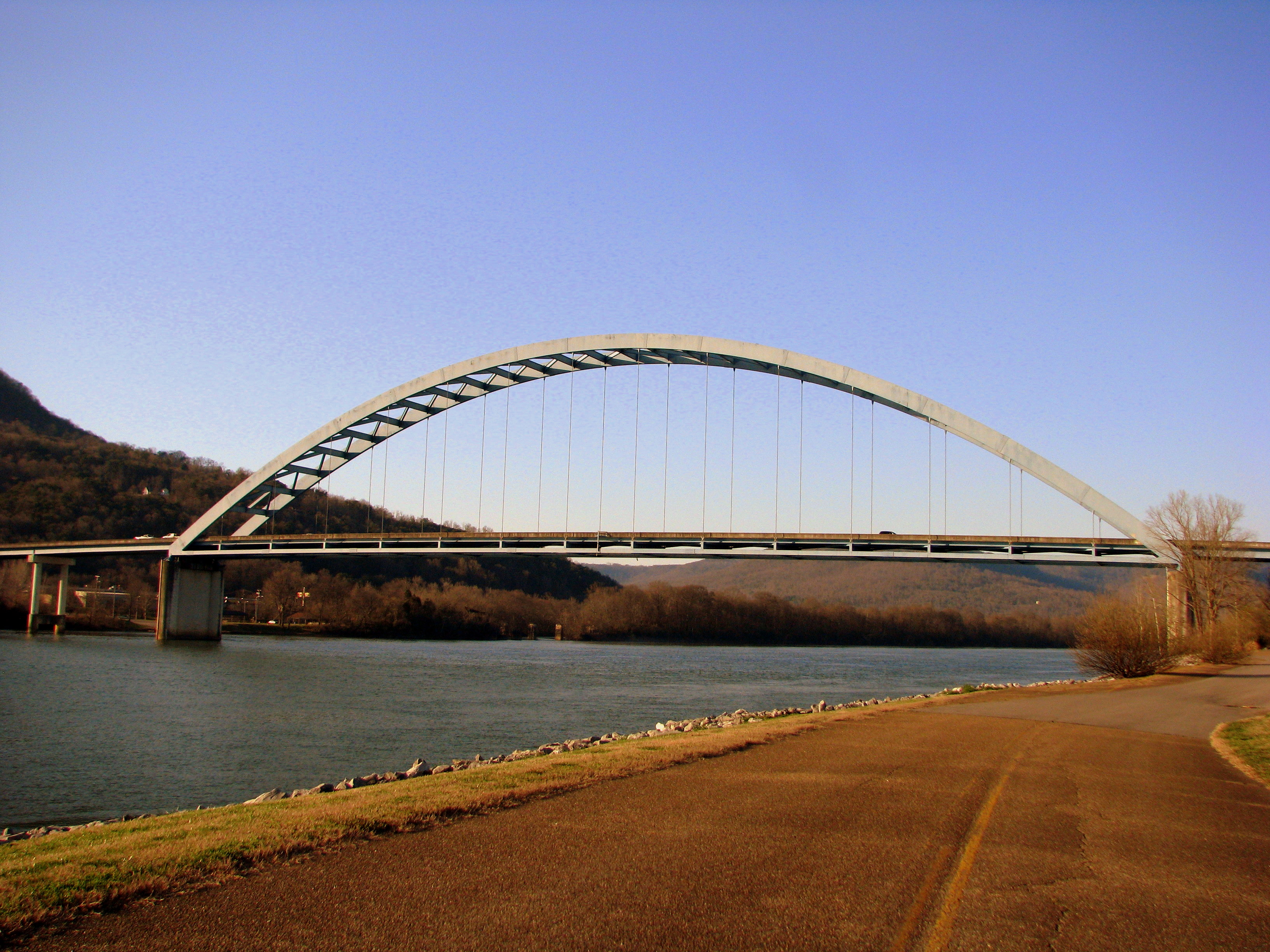
Shelby Reinhart Bridge 4

Bottle Rockets
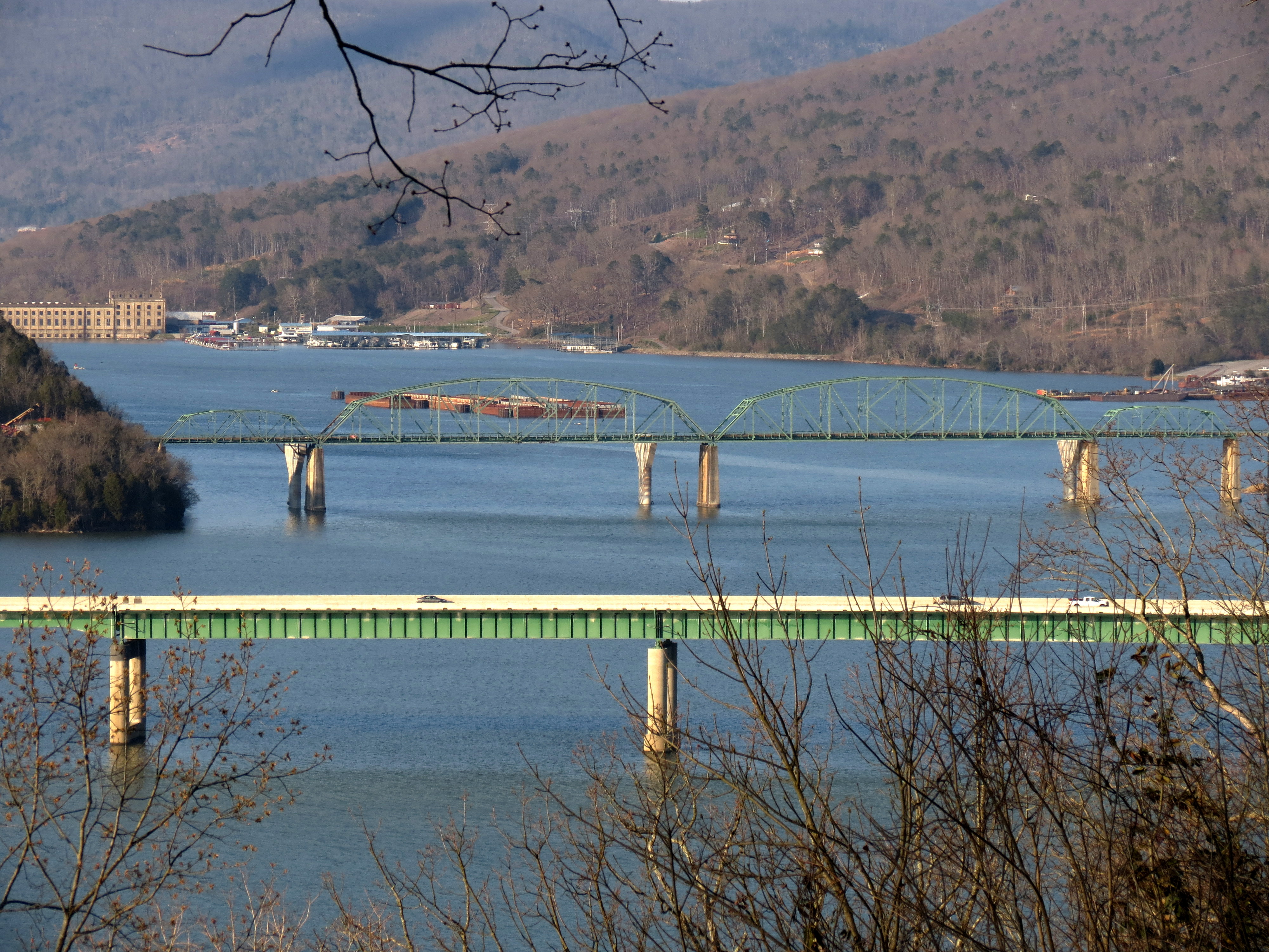
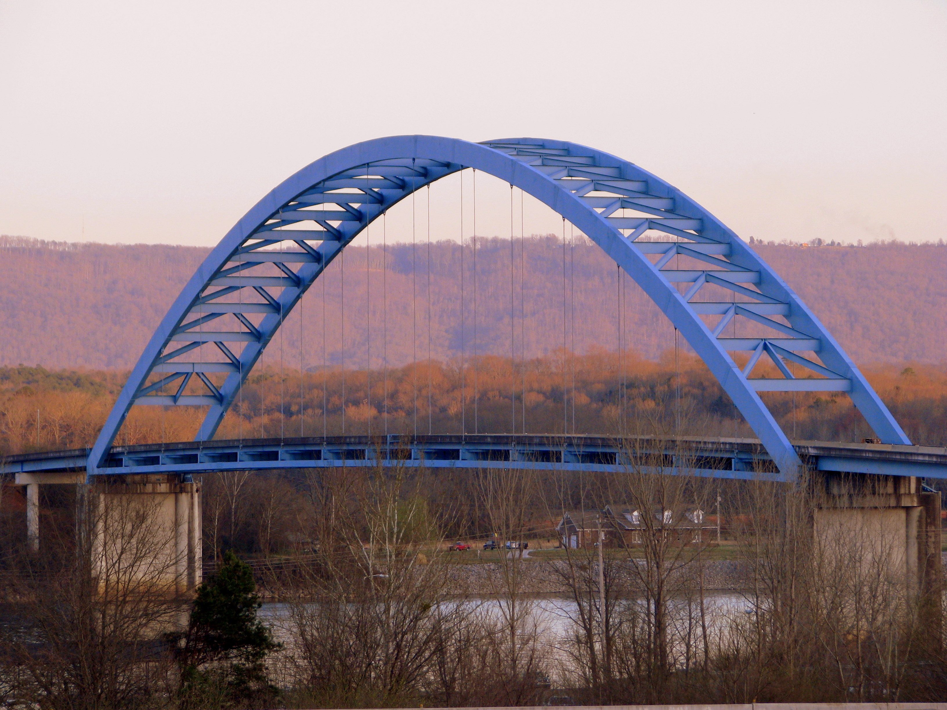
Marion Memorial Bridge & I-24 Bridge over Nickajack Lake
Bill enjoys the view from the Natural Bridge - Pot Point Loop - February 9, 2013
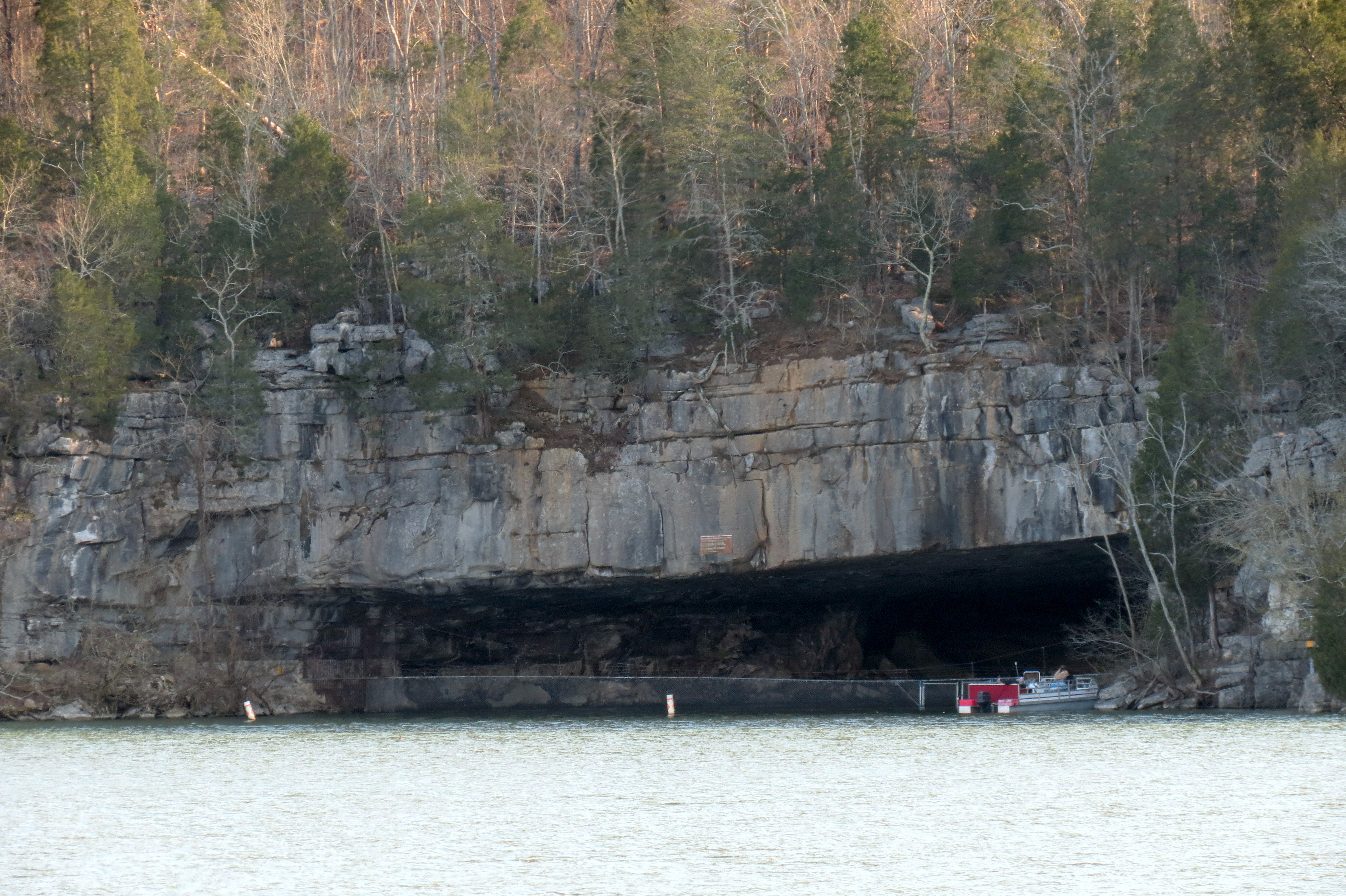
Nickajack Cave Wildlife Refuge (view from Highway TN156)
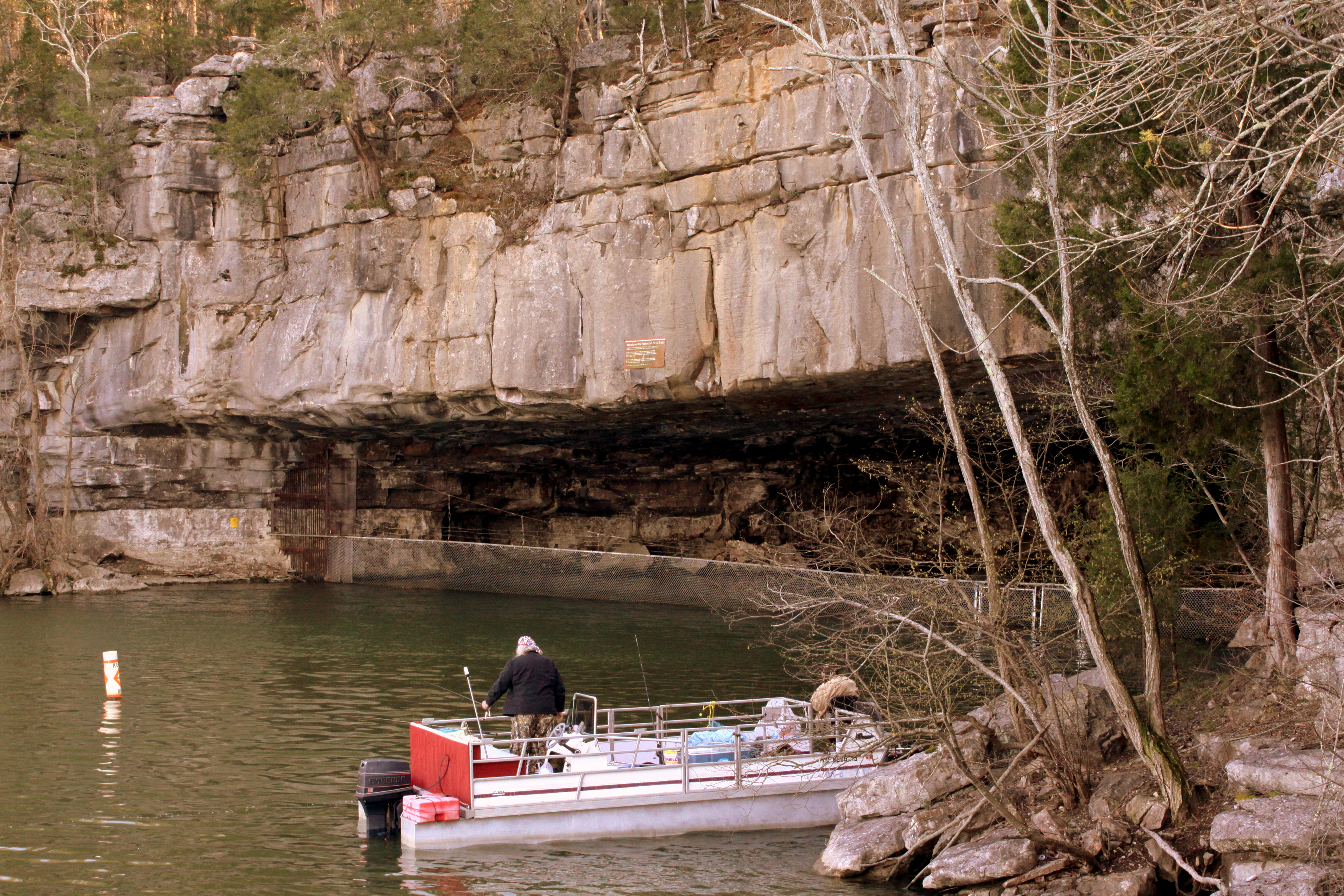
Nickajack Cave Wildlife Refuge
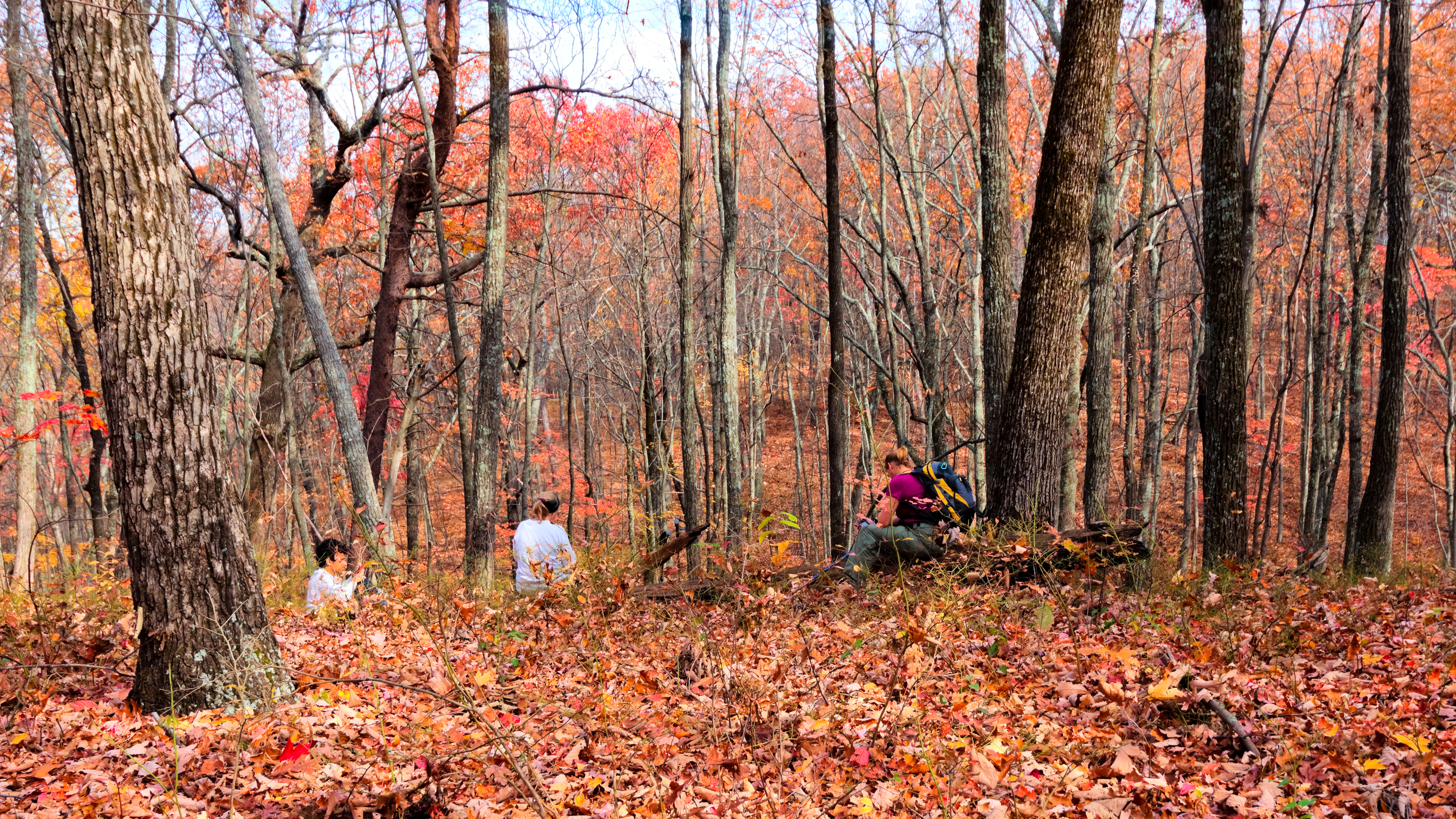
Mullens Cove Loop
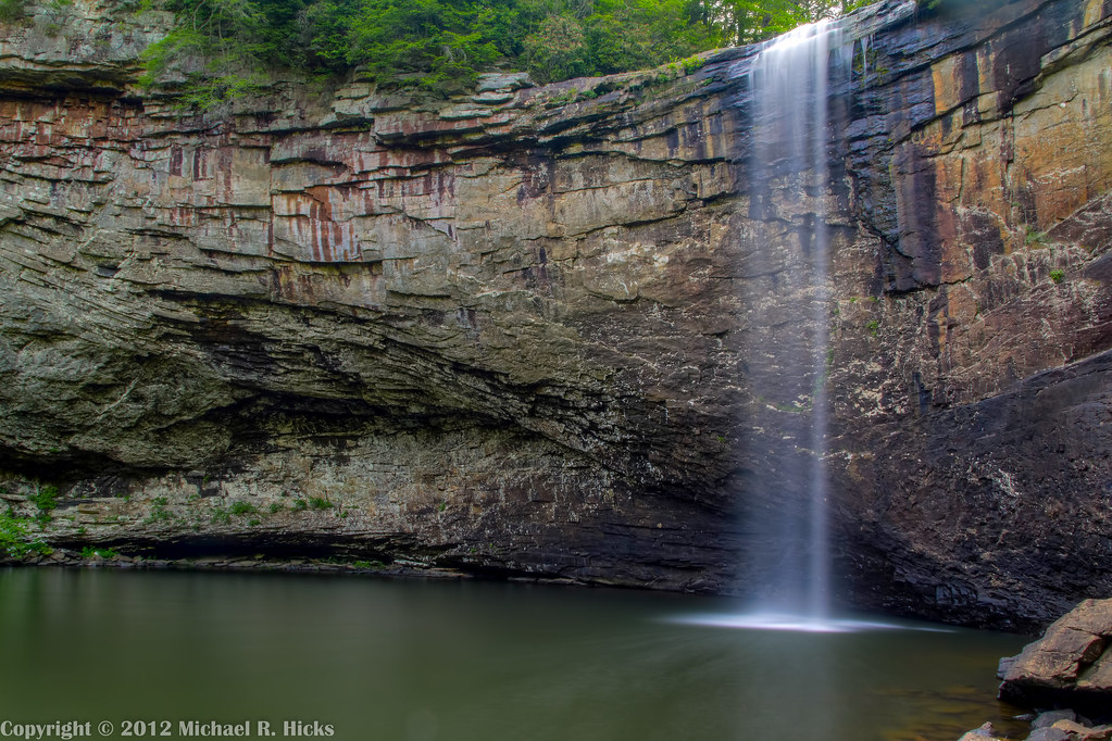
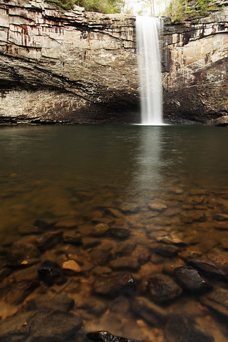
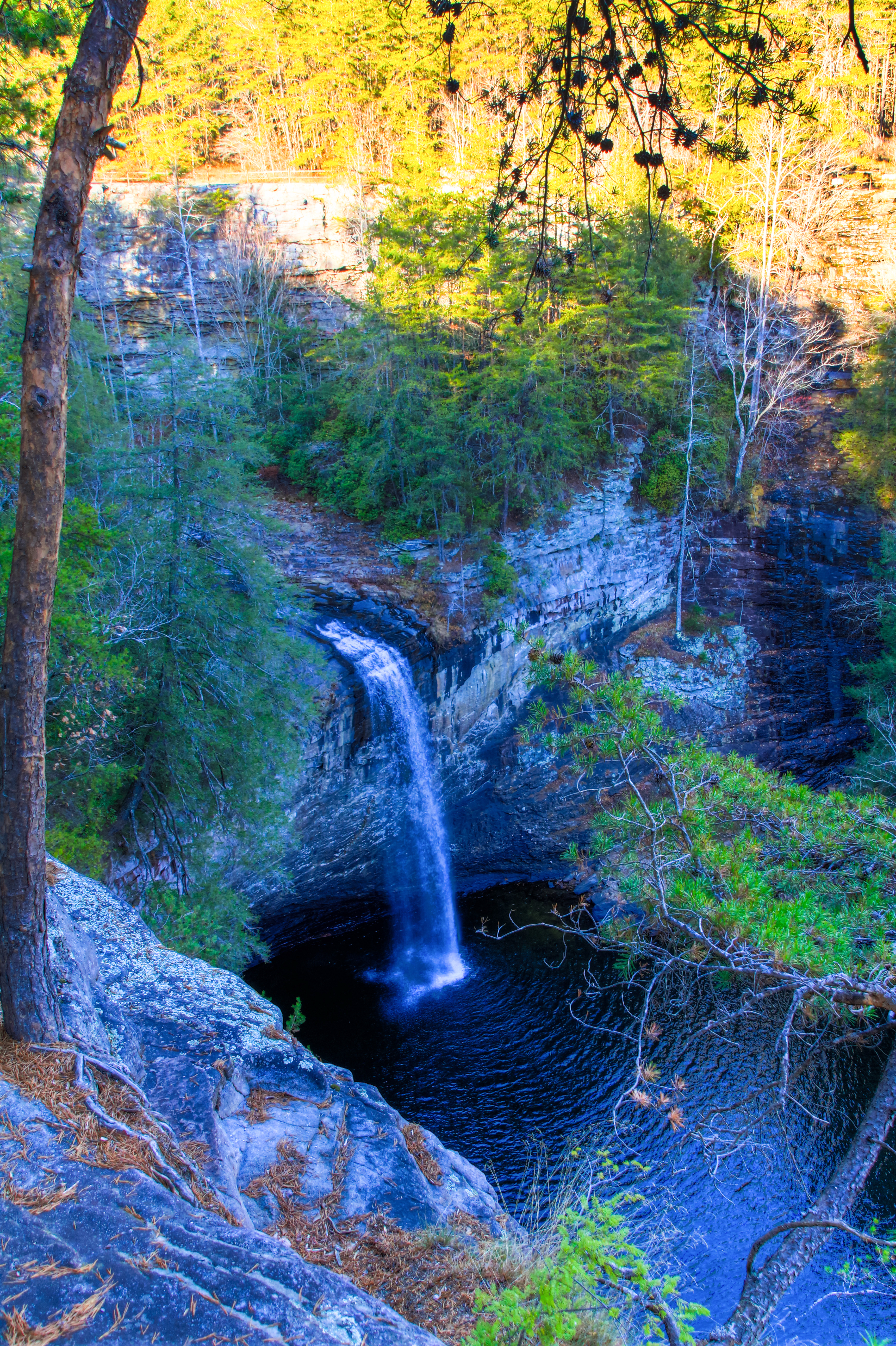
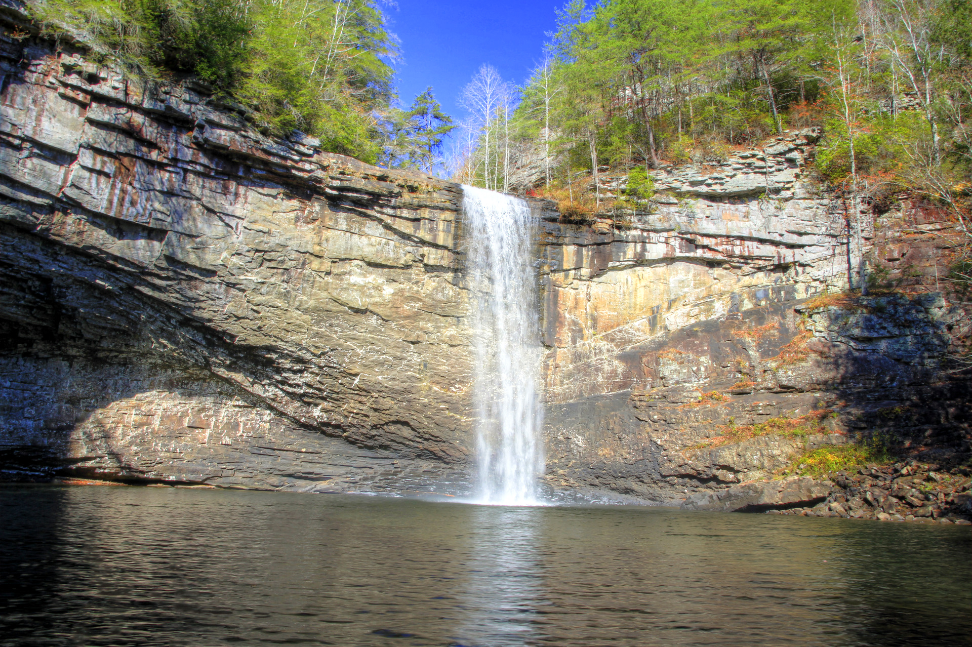
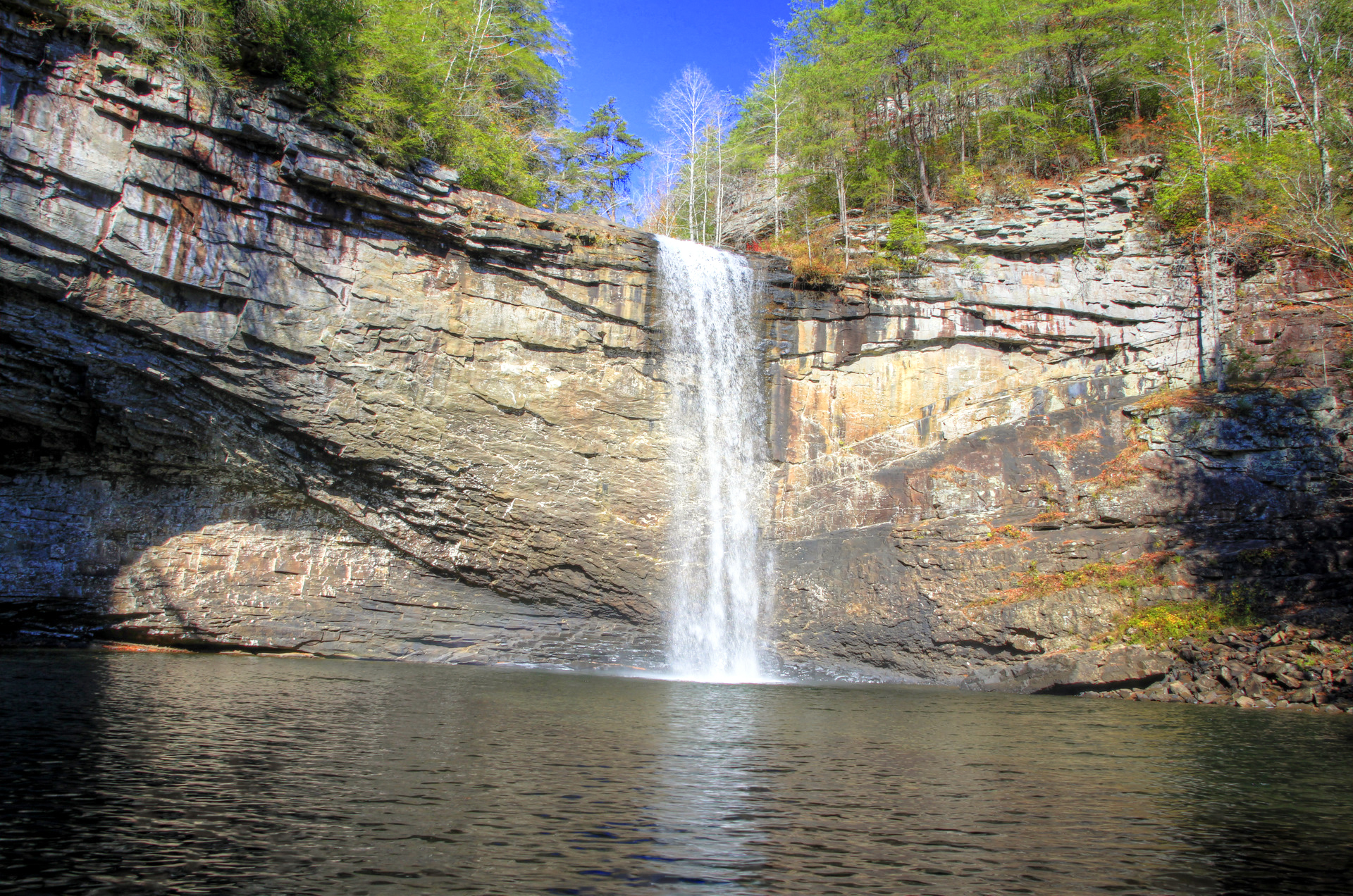
Foster Falls
Fiery Gizzard-216_7_8.jpg
Foster Falls-028_29_30.jpg
Took the dog for a walk. Needed to decompress.
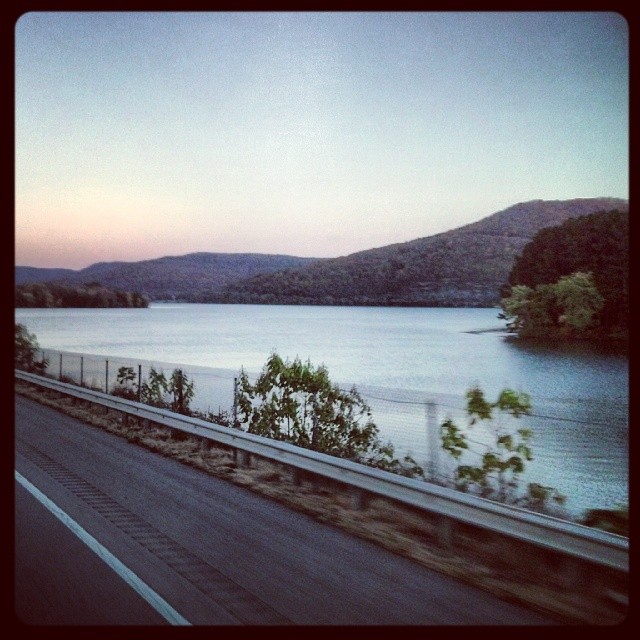
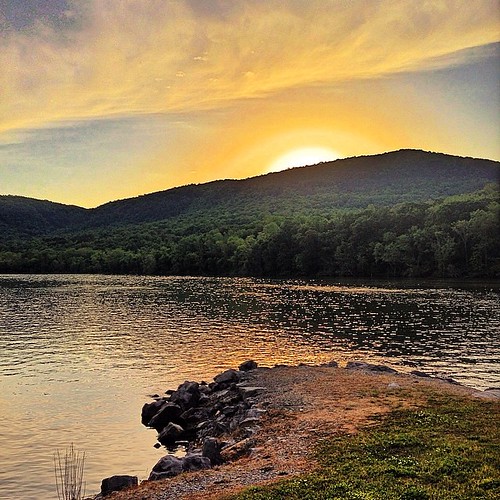
Tennessee lake
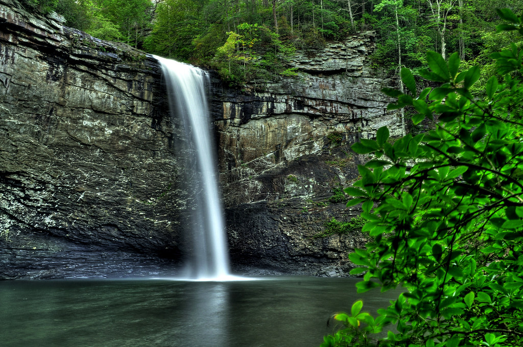
Foster Falls
Dogwalk.

Pot Point Loop - Snooper's Rock Overlook

Moody sky.
Foster Falls
I can't wait to see the Tennessee valley in the springtime.
Pot Point Loop

Mullens Cove Loop

Raccoon Mountain Pumped-Storage Plant

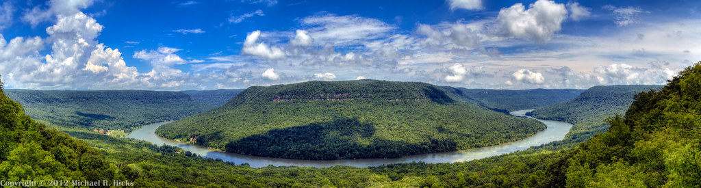
Tennessee River Gorge (Cash Canyon), from Snoopers Rock, Prentice Cooper State Forest, Marion County, Tennessee 2
Foster Falls-037_8_9.jpg
Foster Falls-034_5_6.jpg
Topographic Map of E Hills Rd, Jasper, TN, USA
Find elevation by address:

Places near E Hills Rd, Jasper, TN, USA:
US-41, Jasper, TN, USA
Cave Road
Cave Road
180 Francis Spring Rd
1265 Hales Bar Rd
Tennessee 27
Jasper
Sequatchie
1133 Tn-28
1133 Tn-28
1133 Tn-28
Phillips Road
Ladds Switch Rd, Guild, TN, USA
Guild
1102 Asher St
500 Bent Tree Dr
Marion County
Vineyard Point Road
Executive Drive
Burns Island Rd, South Pittsburg, TN, USA
Recent Searches:
- Elevation of Congressional Dr, Stevensville, MD, USA
- Elevation of Bellview Rd, McLean, VA, USA
- Elevation of Stage Island Rd, Chatham, MA, USA
- Elevation of Shibuya Scramble Crossing, 21 Udagawacho, Shibuya City, Tokyo -, Japan
- Elevation of Jadagoniai, Kaunas District Municipality, Lithuania
- Elevation of Pagonija rock, Kranto 7-oji g. 8"N, Kaunas, Lithuania
- Elevation of Co Rd 87, Jamestown, CO, USA
- Elevation of Tenjo, Cundinamarca, Colombia
- Elevation of Côte-des-Neiges, Montreal, QC H4A 3J6, Canada
- Elevation of Bobcat Dr, Helena, MT, USA