Elevation of Thurston School Rd, Thomaston, GA, USA
Location: United States > Georgia > Upson County > Thomaston >
Longitude: -84.427157
Latitude: 32.9101796
Elevation: 237m / 778feet
Barometric Pressure: 99KPa
Elevation Map:
Satellite Map:
Related Photos:
3:35 PM : November 11 2015
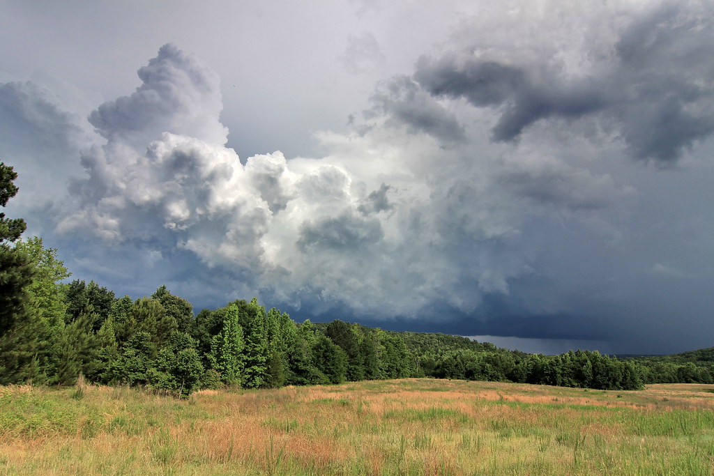
pike county georgia
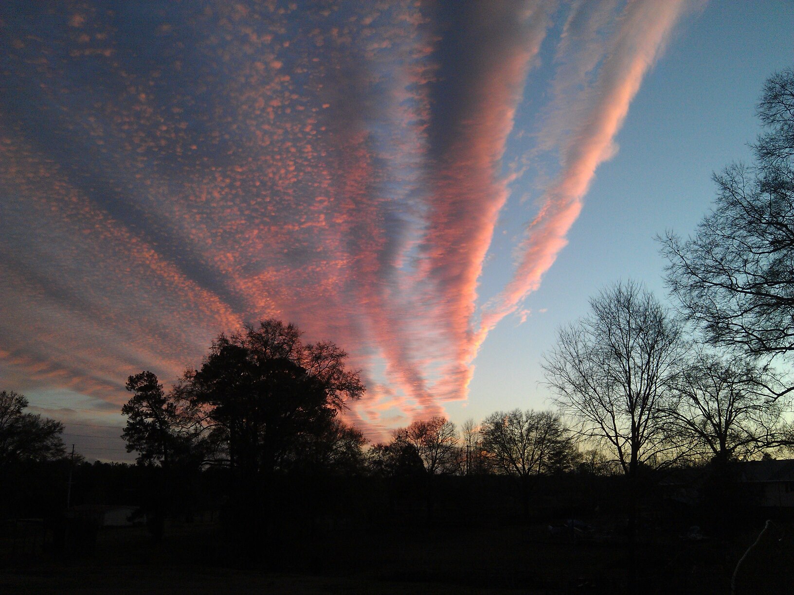
Under a Sea of Clouds

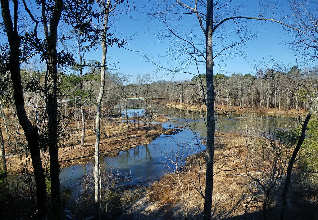
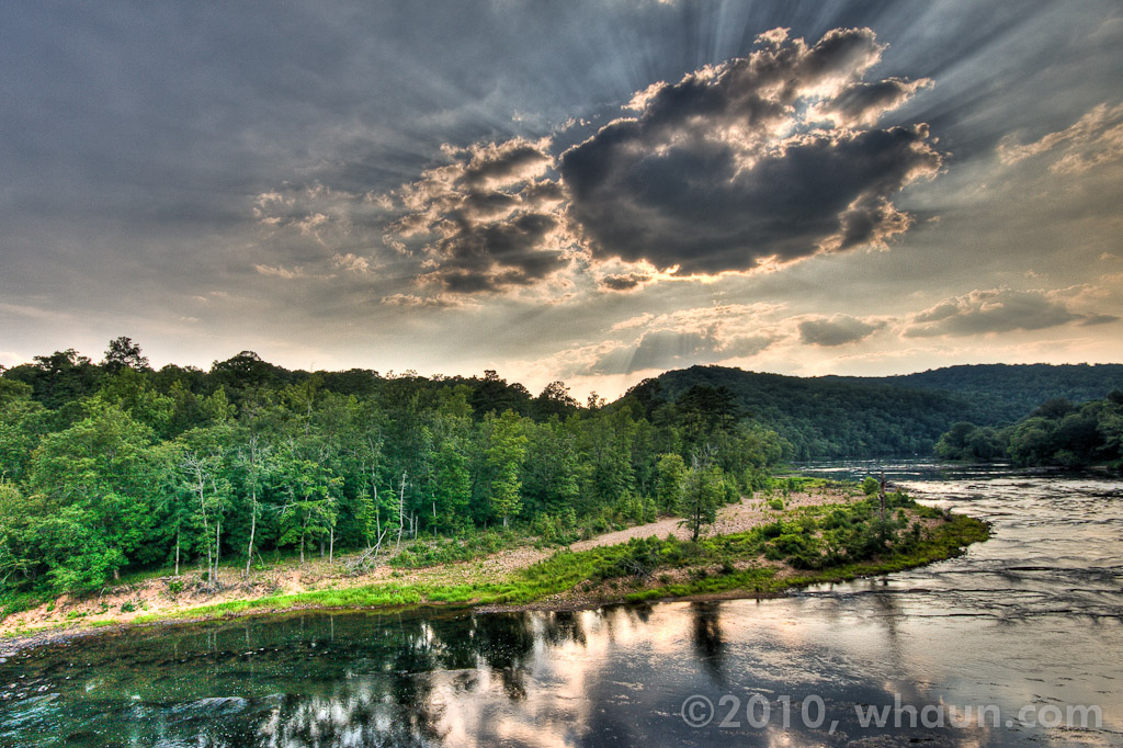
flint river
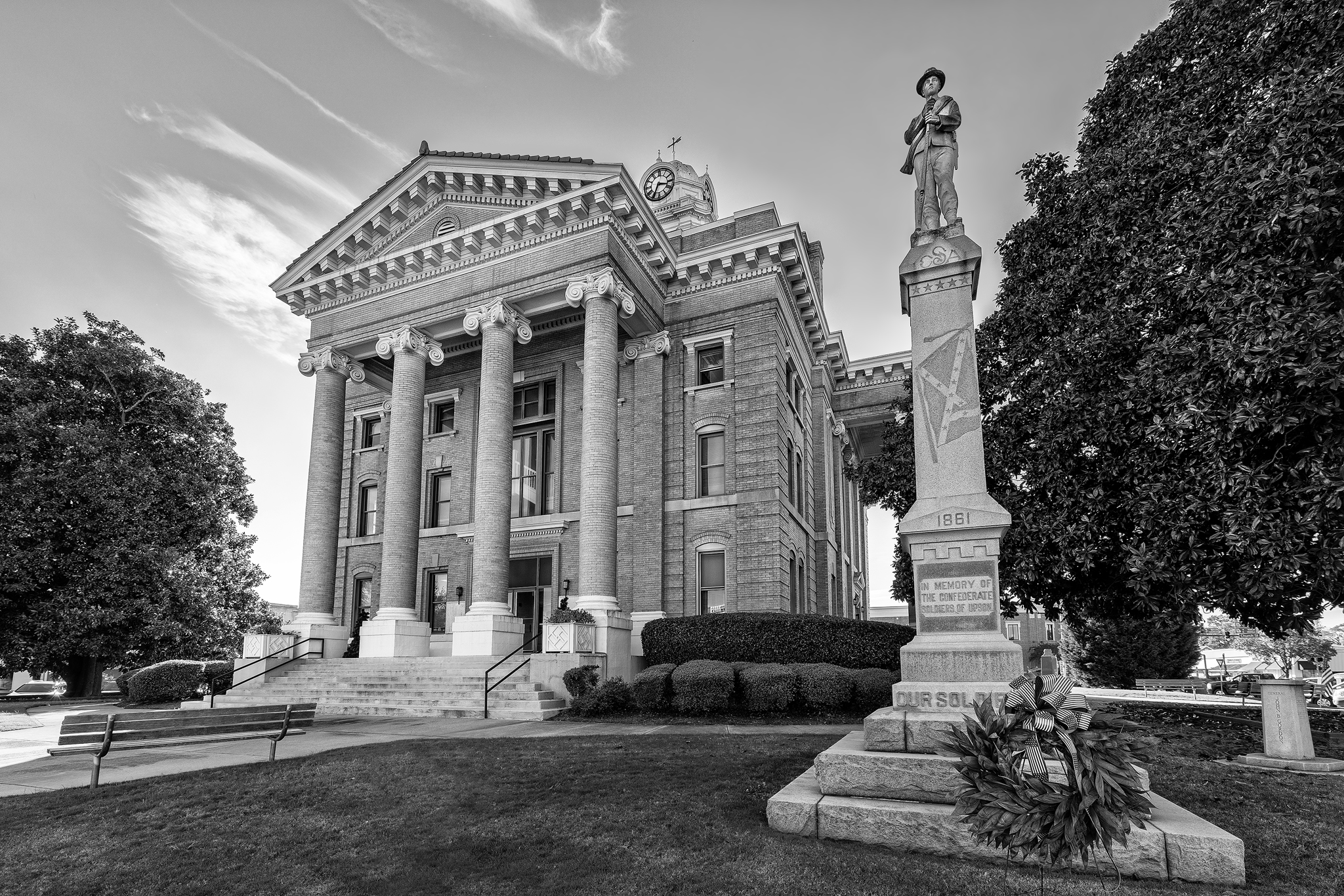
upson county georgia
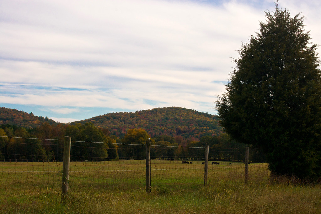
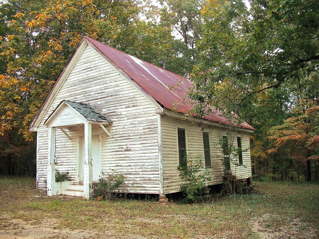
Mountain view from the Cove

flint river
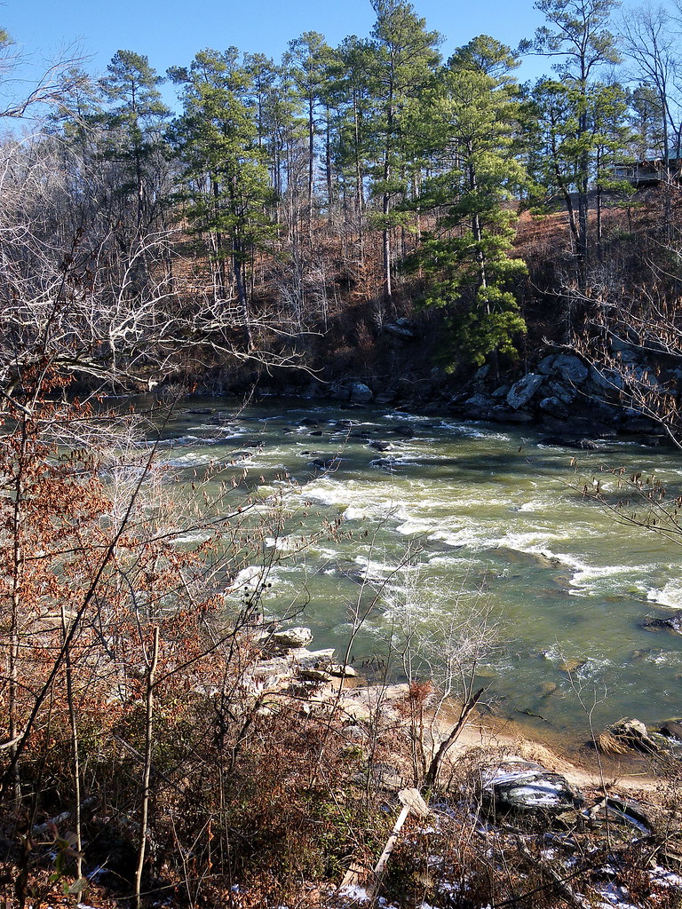
flint river
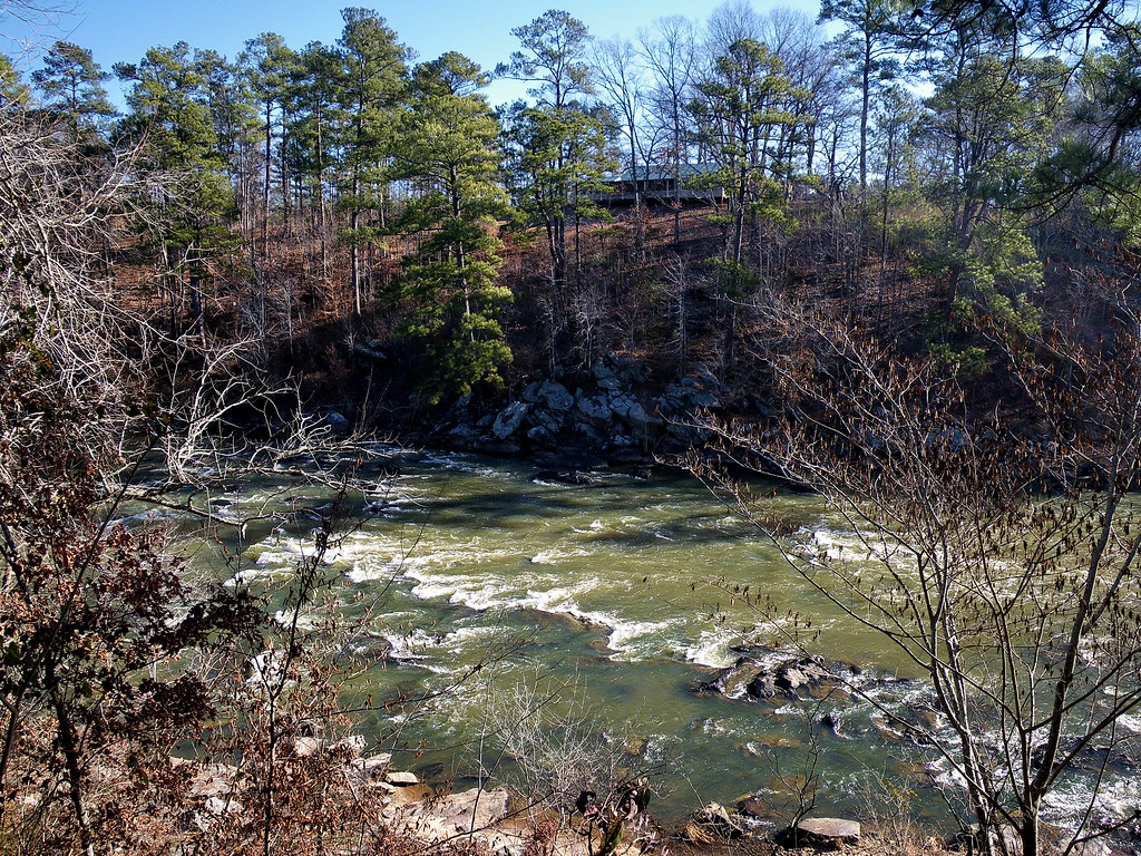
flint river
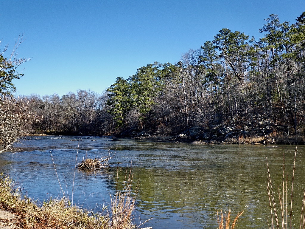
flint river
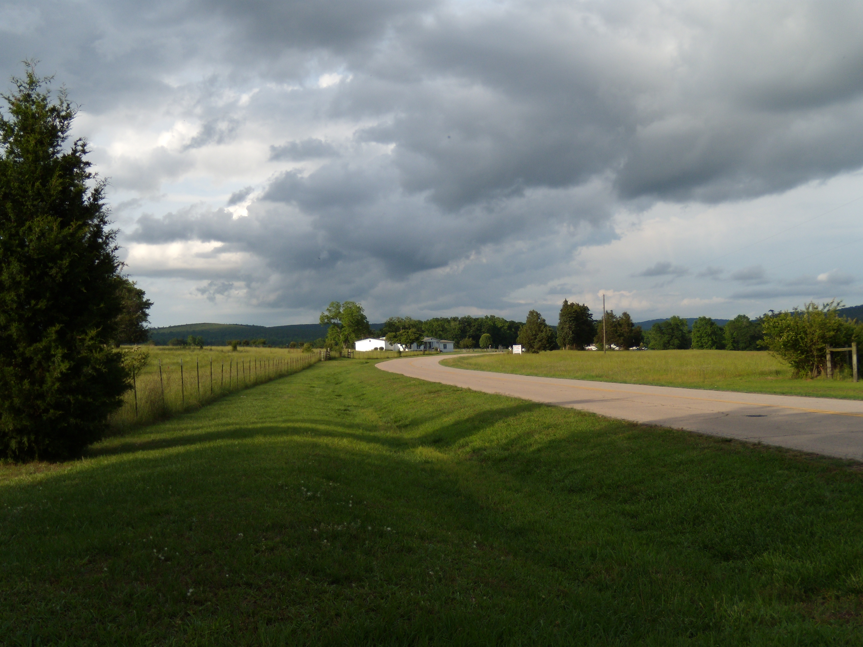
View from Pat's Driveway (#135 of 365)
flint river

flint river

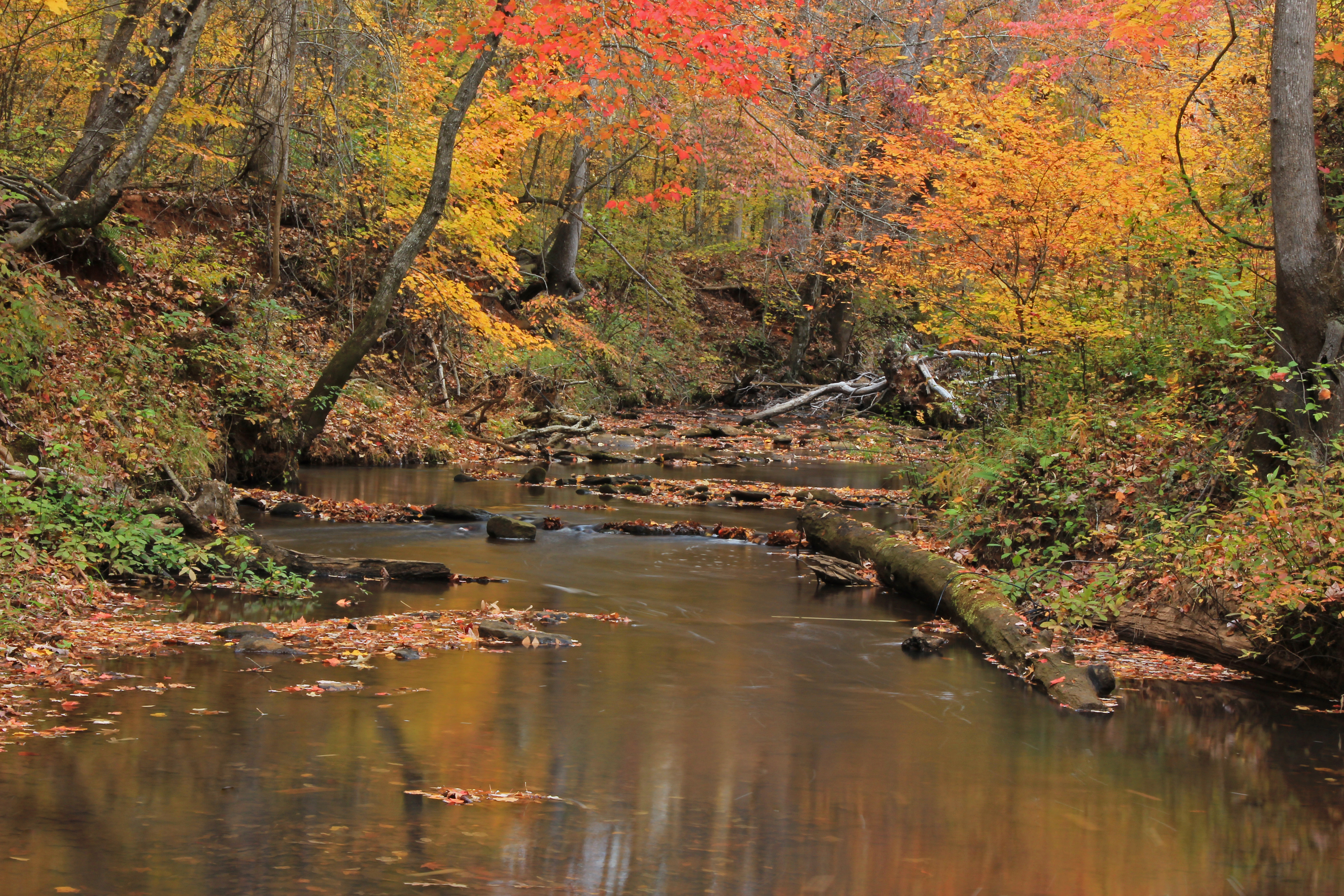
Gold on Still Branch

Way After Sunset
Sprewell Bluff, GA
Jerry Reeves Creek, upstream of Highway 36, U.S.G.S. sample site, Upson County, Georgia 3
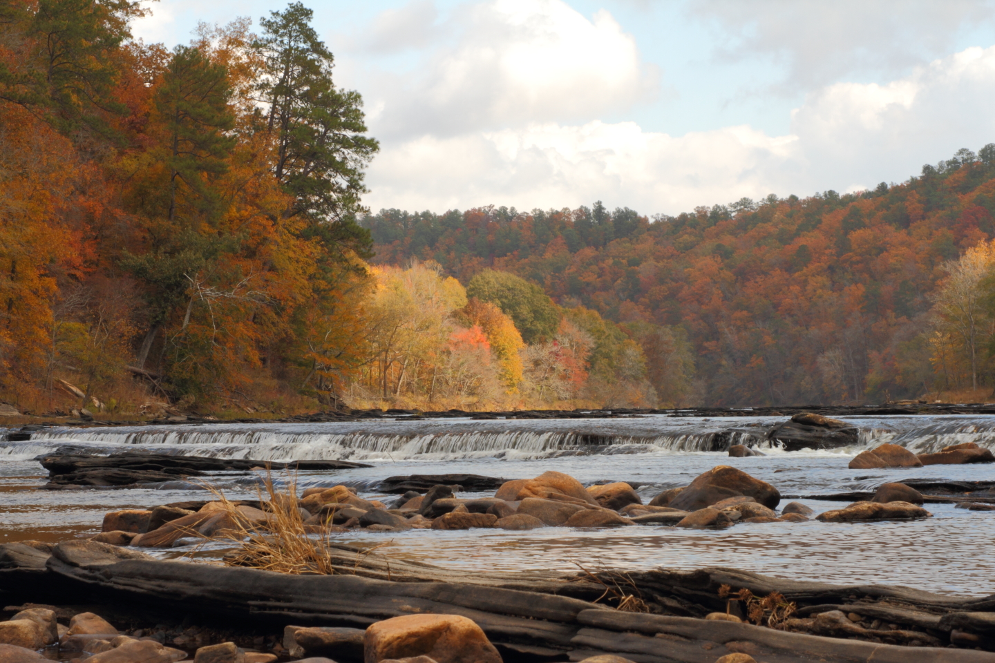
The "Natural Dam" on the Flint River
The Cove

Sprewell Bluff, GA
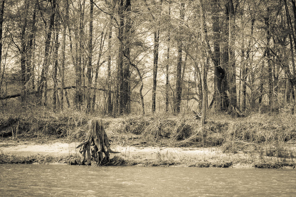
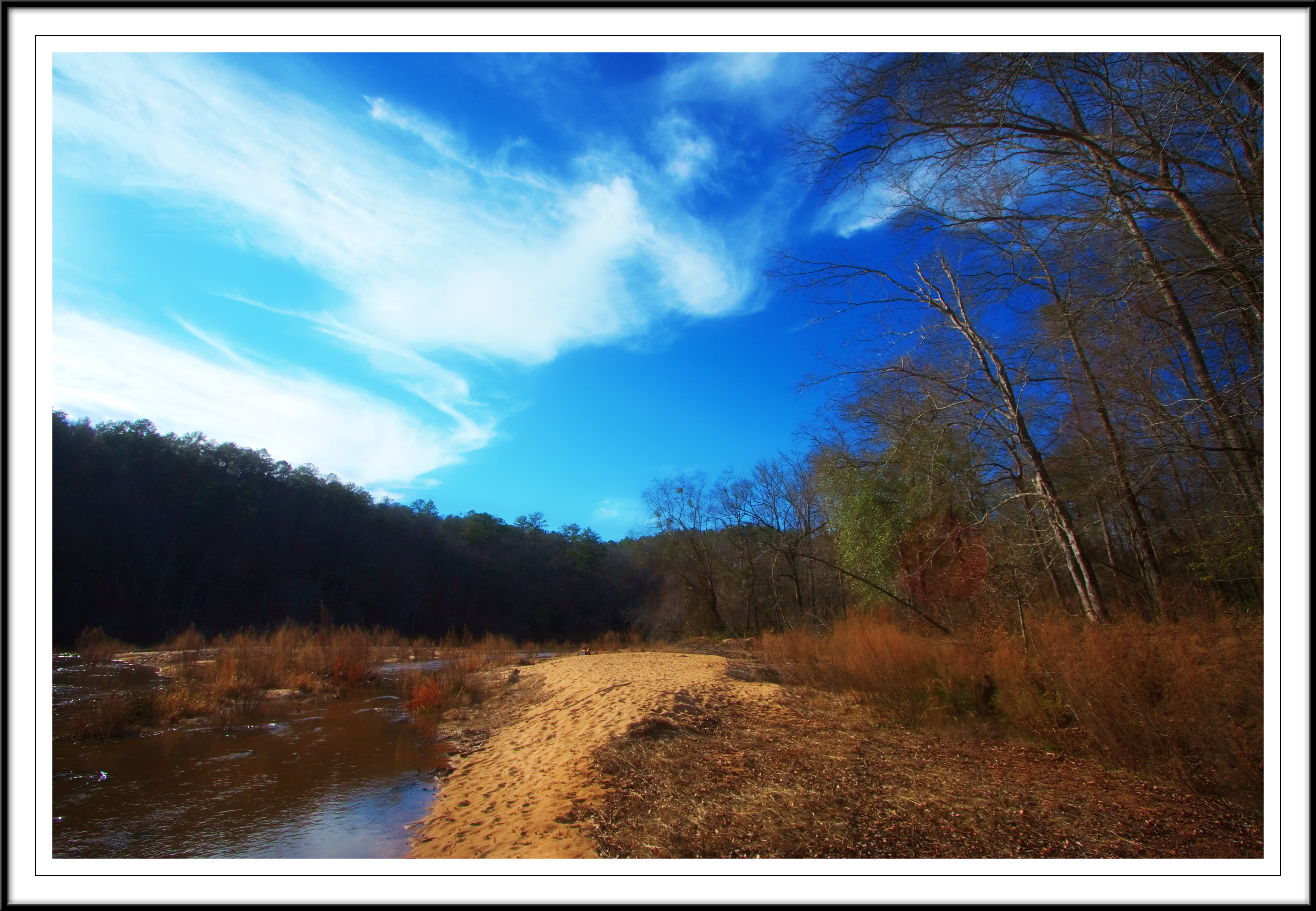
Stump by a beach
Flint River at Sprewell Bluff

Sprewell Bluff

Barn and Lens Flare - Landscape
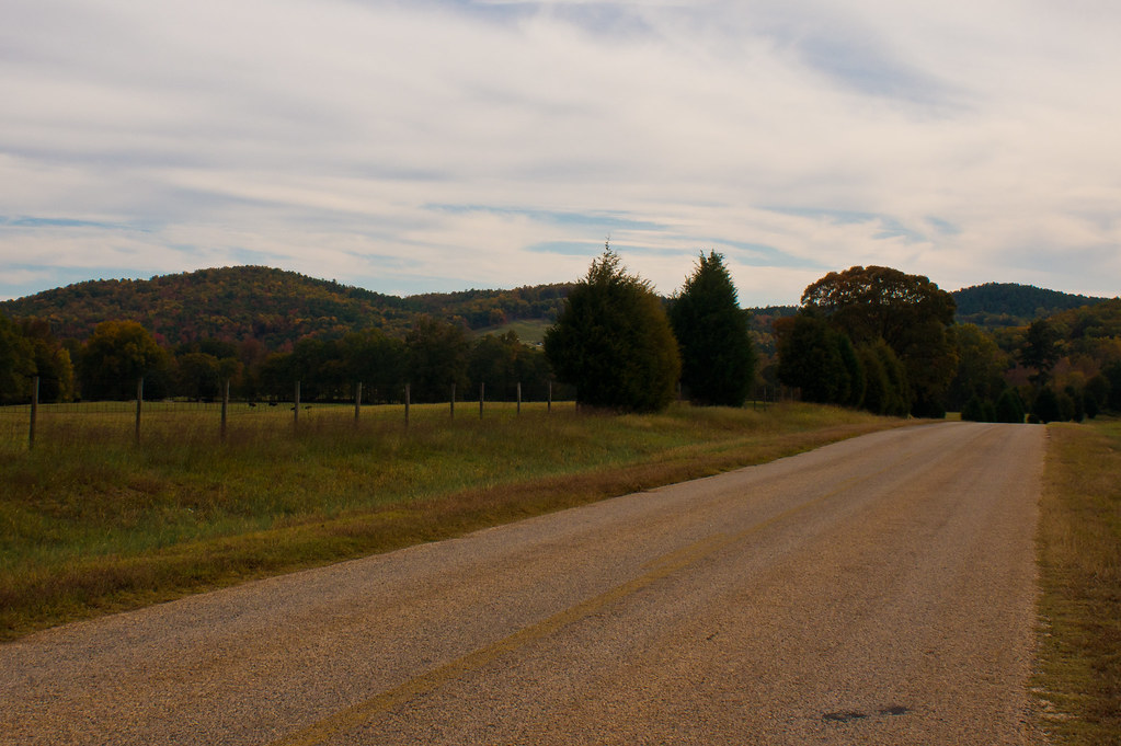
Dusk: Molena, Georgia
SB11 pano
Sprewell Bluff observation deck on Flint River
Flint River Sprewell Bluff
Topographic Map of Thurston School Rd, Thomaston, GA, USA
Find elevation by address:

Places near Thurston School Rd, Thomaston, GA, USA:
515 Thurston School Rd
Crest Highway
2384 N Pickard Rd
Crest Hwy, Thomaston, GA, USA
735 Firetower Rd
75 Double Bridge Rd
5411 Crest Hwy
851 Pleasant Valley Rd
851 Pleasant Valley Rd
685 New Rd
GA-, Molena, GA, USA
1033 Ga-18
Molena
Woodbury
GA-85, Woodbury, GA, USA
GA-85, Woodbury, GA, USA
76 Schaefer Cir
GA-85, Woodbury, GA, USA
10291 Whitehouse Pkwy
10291 Whitehouse Pkwy
Recent Searches:
- Elevation of Groblershoop, South Africa
- Elevation of Power Generation Enterprises | Industrial Diesel Generators, Oak Ave, Canyon Country, CA, USA
- Elevation of Chesaw Rd, Oroville, WA, USA
- Elevation of N, Mt Pleasant, UT, USA
- Elevation of 6 Rue Jules Ferry, Beausoleil, France
- Elevation of Sattva Horizon, 4JC6+G9P, Vinayak Nagar, Kattigenahalli, Bengaluru, Karnataka, India
- Elevation of Great Brook Sports, Gold Star Hwy, Groton, CT, USA
- Elevation of 10 Mountain Laurels Dr, Nashua, NH, USA
- Elevation of 16 Gilboa Ln, Nashua, NH, USA
- Elevation of Laurel Rd, Townsend, TN, USA