Elevation of Crest Hwy, Thomaston, GA, USA
Location: United States > Georgia > Upson County > Thomaston >
Longitude: -84.445152
Latitude: 32.9317852
Elevation: 254m / 833feet
Barometric Pressure: 98KPa
Elevation Map:
Satellite Map:
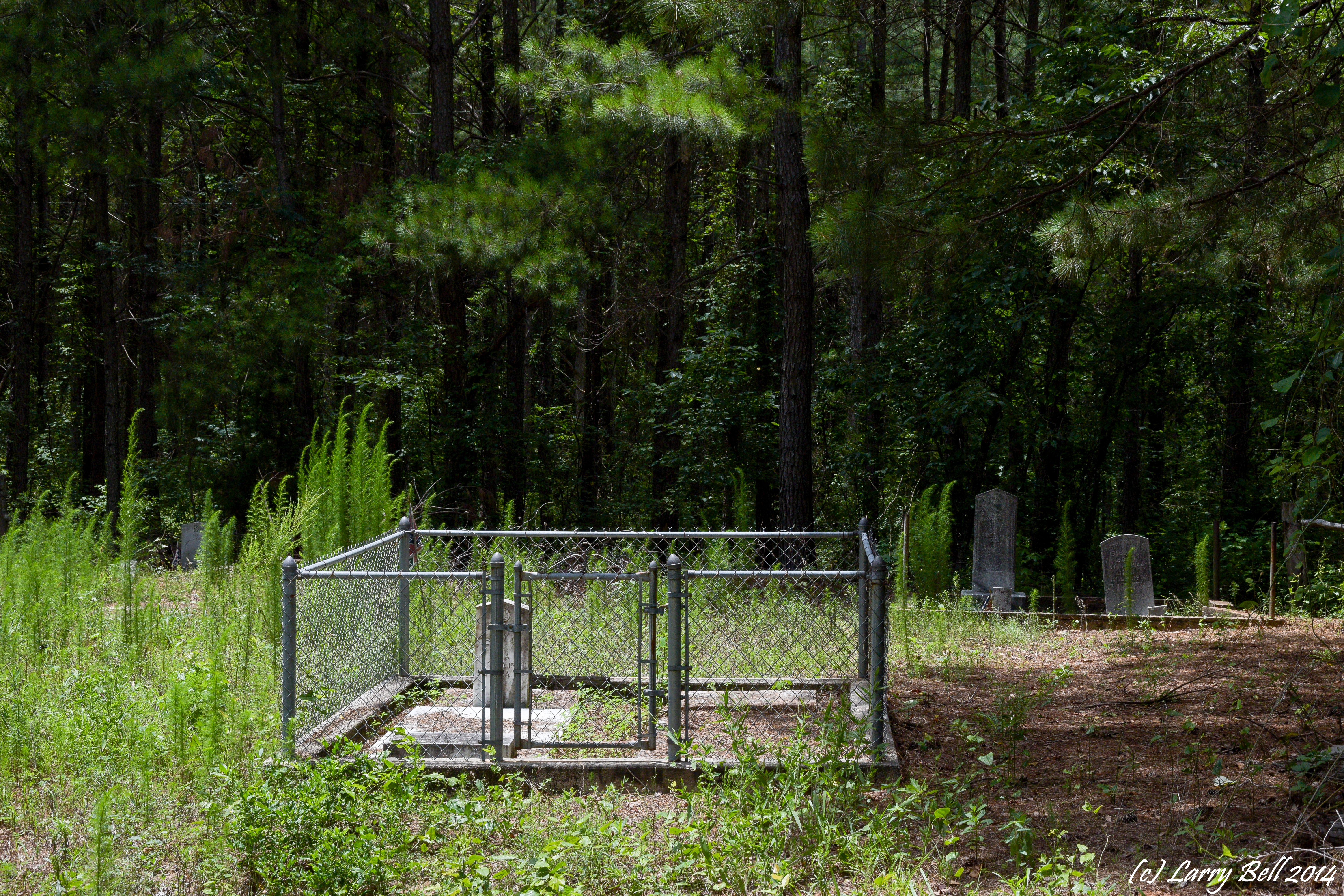
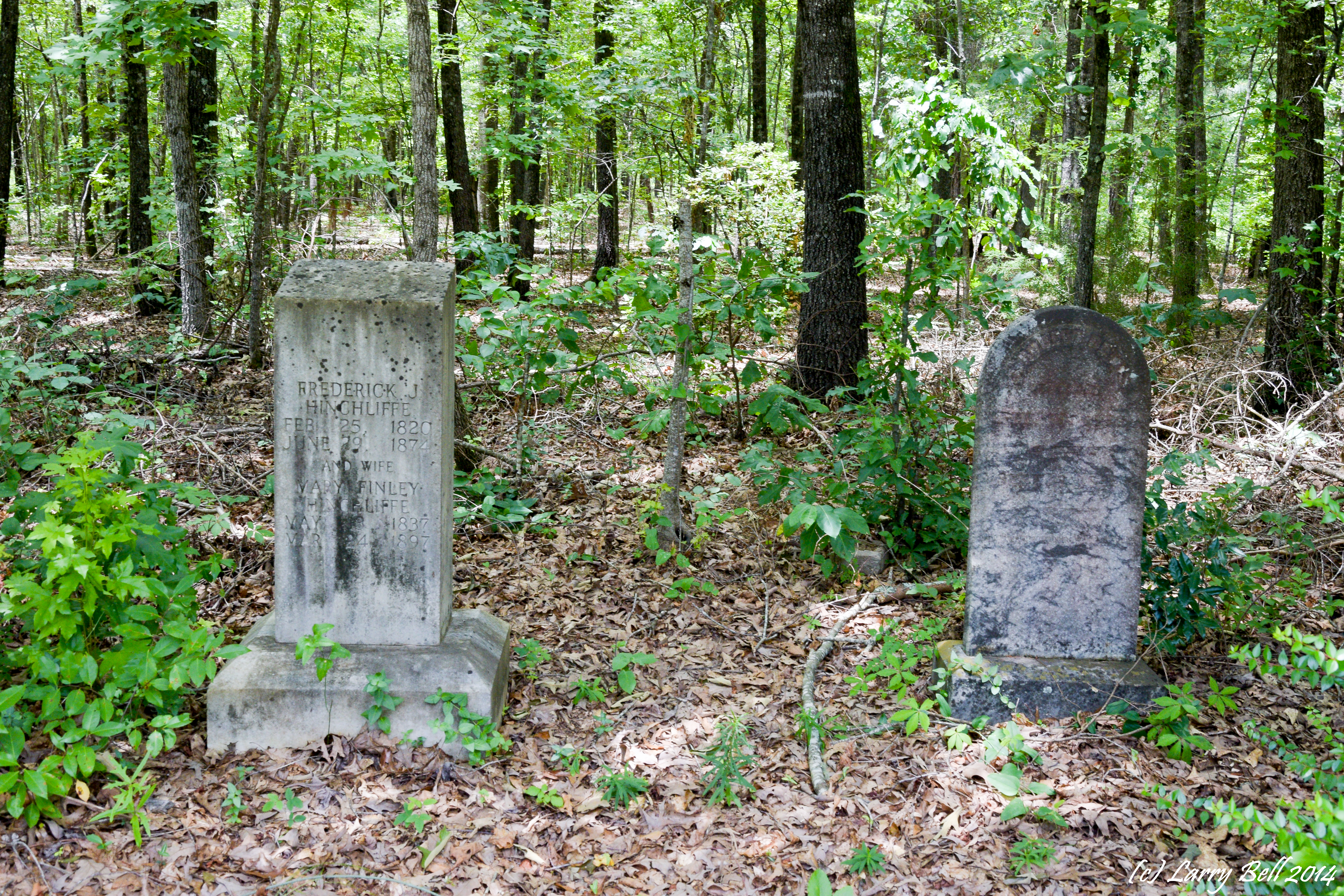
Related Photos:
pike county georgia

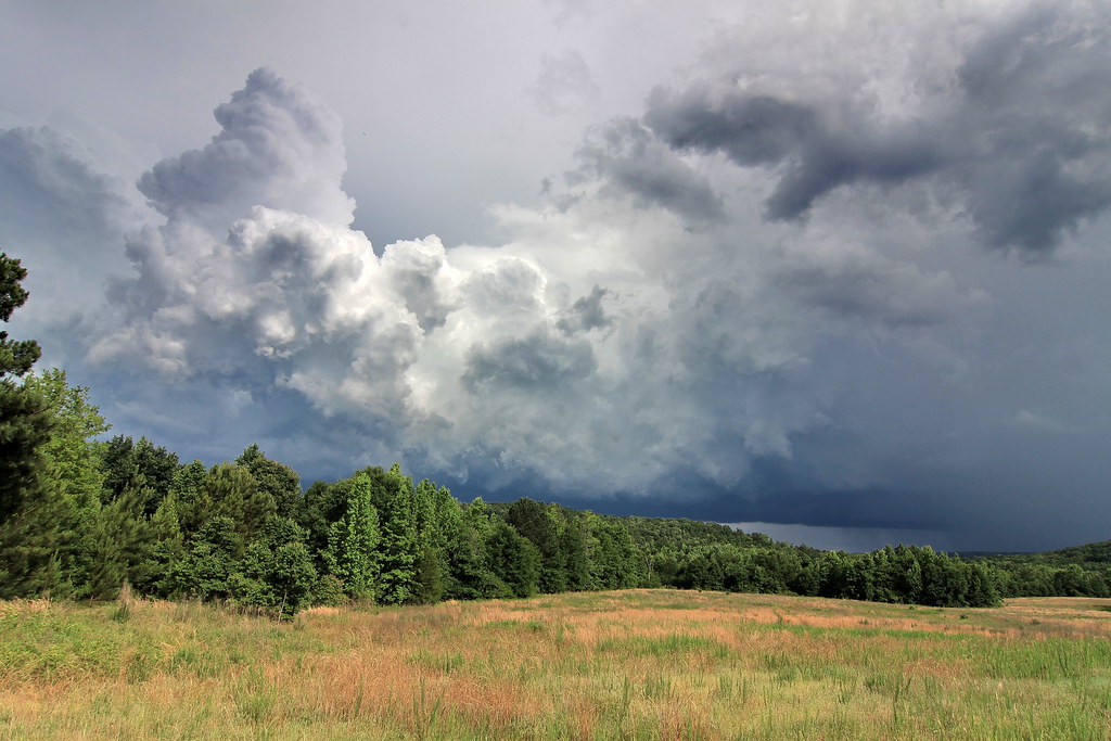
Under a Sea of Clouds
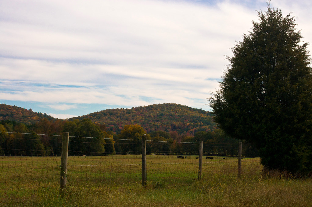
Mountain view from the Cove

flint river
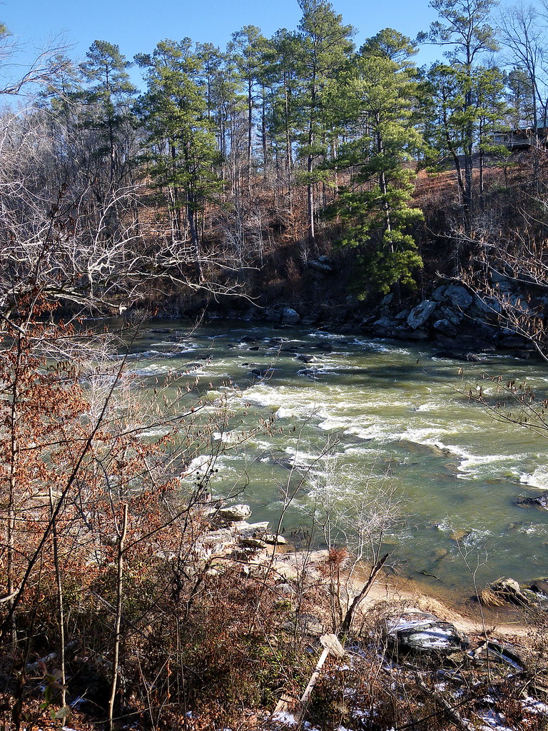
flint river
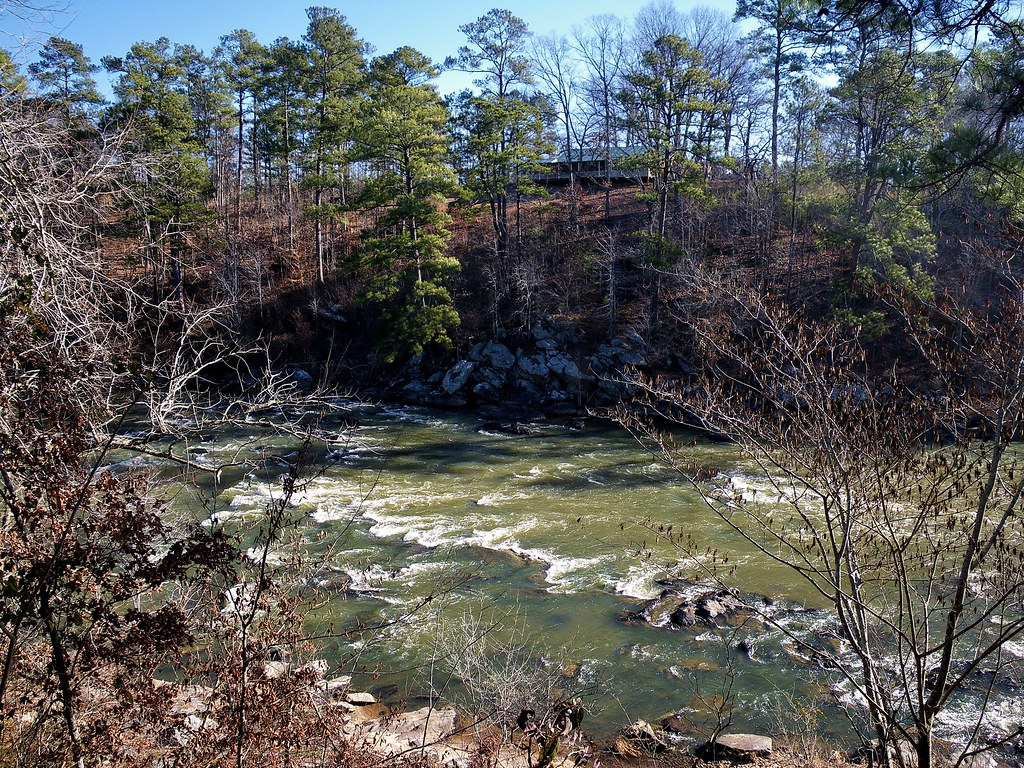
flint river
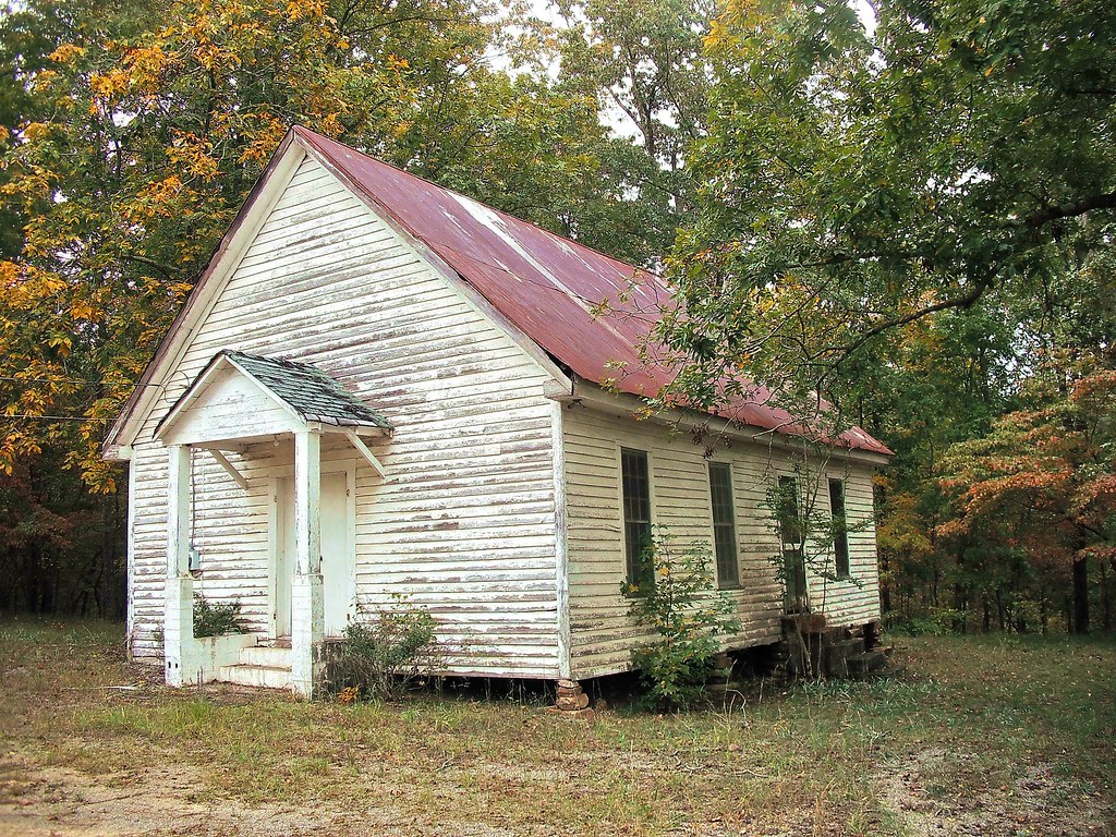
upson county georgia

flint river
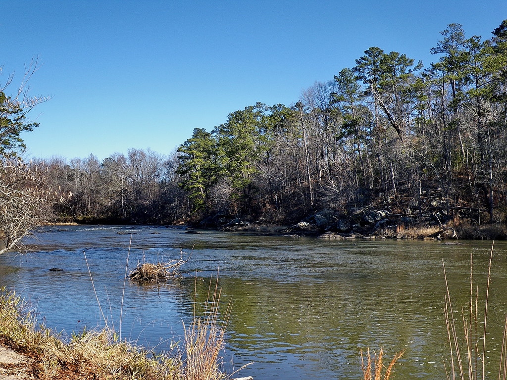
flint river
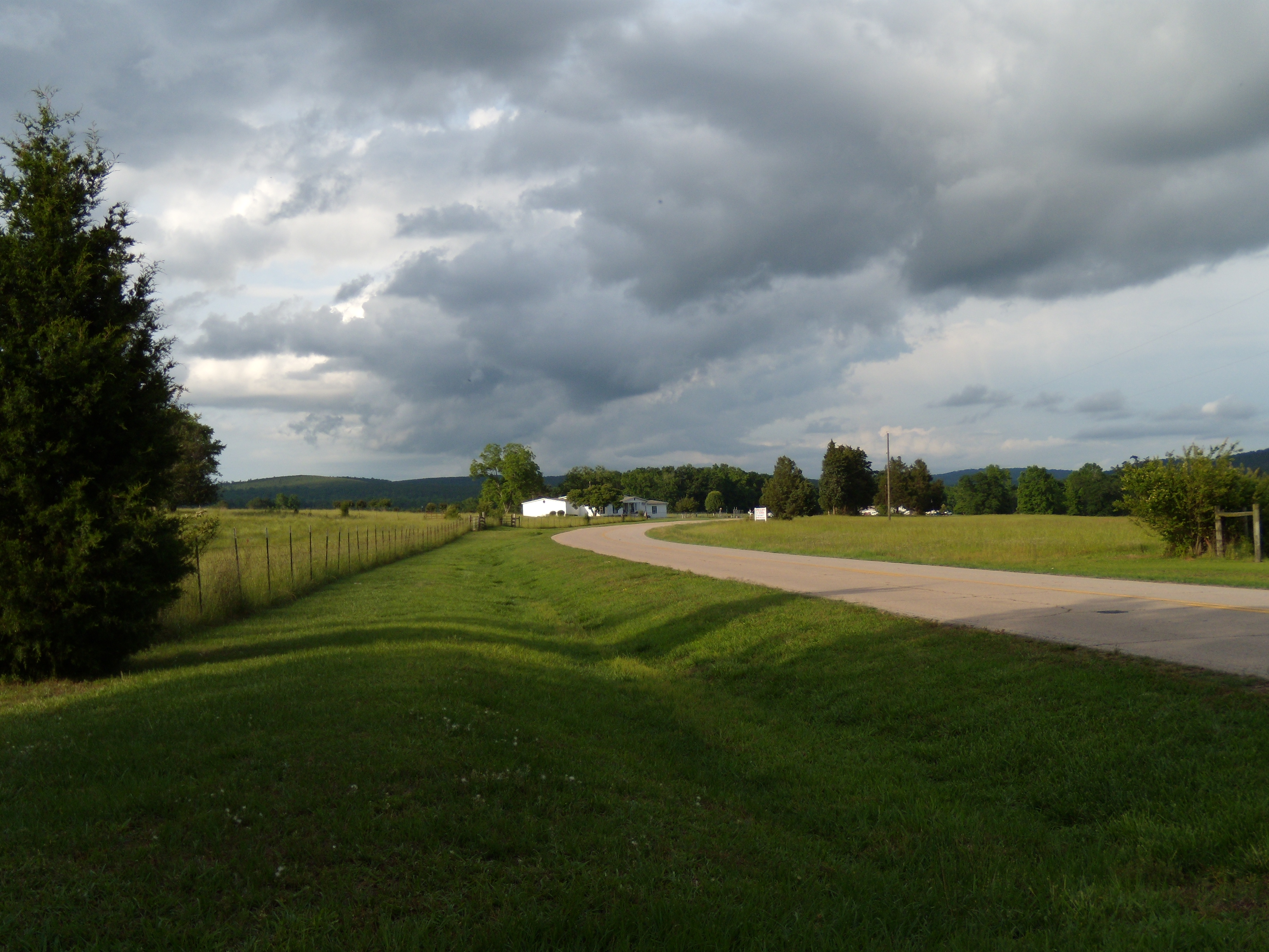
View from Pat's Driveway (#135 of 365)

3:35 PM : November 11 2015
flint river

flint river

Gold on Still Branch

Jerry Reeves Creek, upstream of Highway 36, U.S.G.S. sample site, Upson County, Georgia 3
DSC_0179.jpg

Way After Sunset
DSC_0160.jpg
DSC_0180.jpg
Sprewell Bluff, GA
DSC_0229.jpg

DSC_0176.jpg
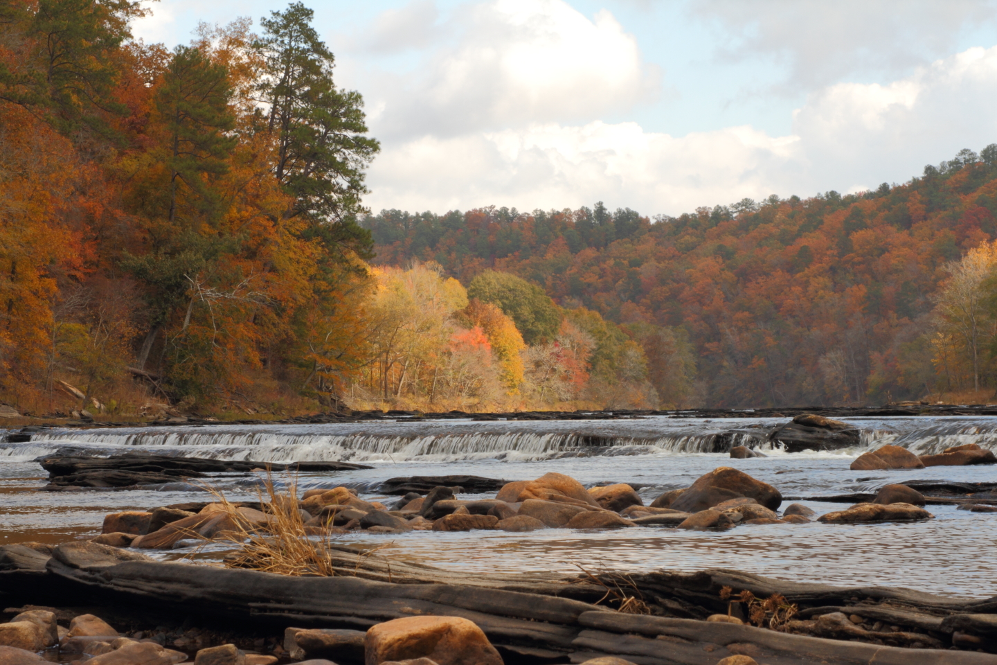
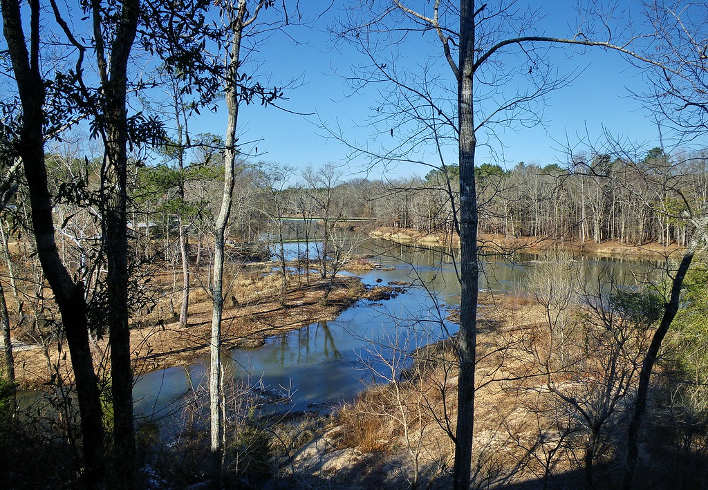
The "Natural Dam" on the Flint River
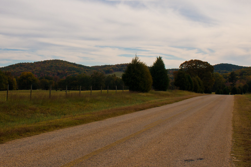
The Cove

Sprewell Bluff, GA

Stump by a beach

DSC_0944.jpg
DSC_0159.jpg
Topographic Map of Crest Hwy, Thomaston, GA, USA
Find elevation by address:

Places near Crest Hwy, Thomaston, GA, USA:
Crest Highway
2384 N Pickard Rd
5411 Crest Hwy
735 Firetower Rd
Thurston School Rd, Thomaston, GA, USA
515 Thurston School Rd
851 Pleasant Valley Rd
851 Pleasant Valley Rd
75 Double Bridge Rd
GA-, Molena, GA, USA
685 New Rd
1033 Ga-18
Molena
Woodbury
GA-85, Woodbury, GA, USA
GA-85, Woodbury, GA, USA
GA-85, Woodbury, GA, USA
76 Schaefer Cir
10291 Whitehouse Pkwy
10291 Whitehouse Pkwy
Recent Searches:
- Elevation of Corso Fratelli Cairoli, 35, Macerata MC, Italy
- Elevation of Tallevast Rd, Sarasota, FL, USA
- Elevation of 4th St E, Sonoma, CA, USA
- Elevation of Black Hollow Rd, Pennsdale, PA, USA
- Elevation of Oakland Ave, Williamsport, PA, USA
- Elevation of Pedrógão Grande, Portugal
- Elevation of Klee Dr, Martinsburg, WV, USA
- Elevation of Via Roma, Pieranica CR, Italy
- Elevation of Tavkvetili Mountain, Georgia
- Elevation of Hartfords Bluff Cir, Mt Pleasant, SC, USA