Elevation of Thomastown Rd, Tallulah, LA, USA
Location: United States > Louisiana >
Longitude: -91.121938
Latitude: 32.4321682
Elevation: 28m / 92feet
Barometric Pressure: 101KPa
Elevation Map:
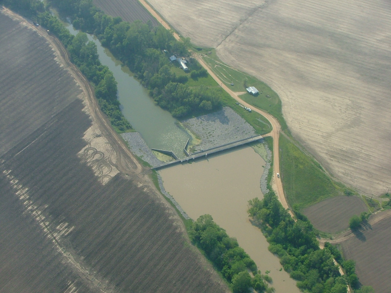
Satellite Map:
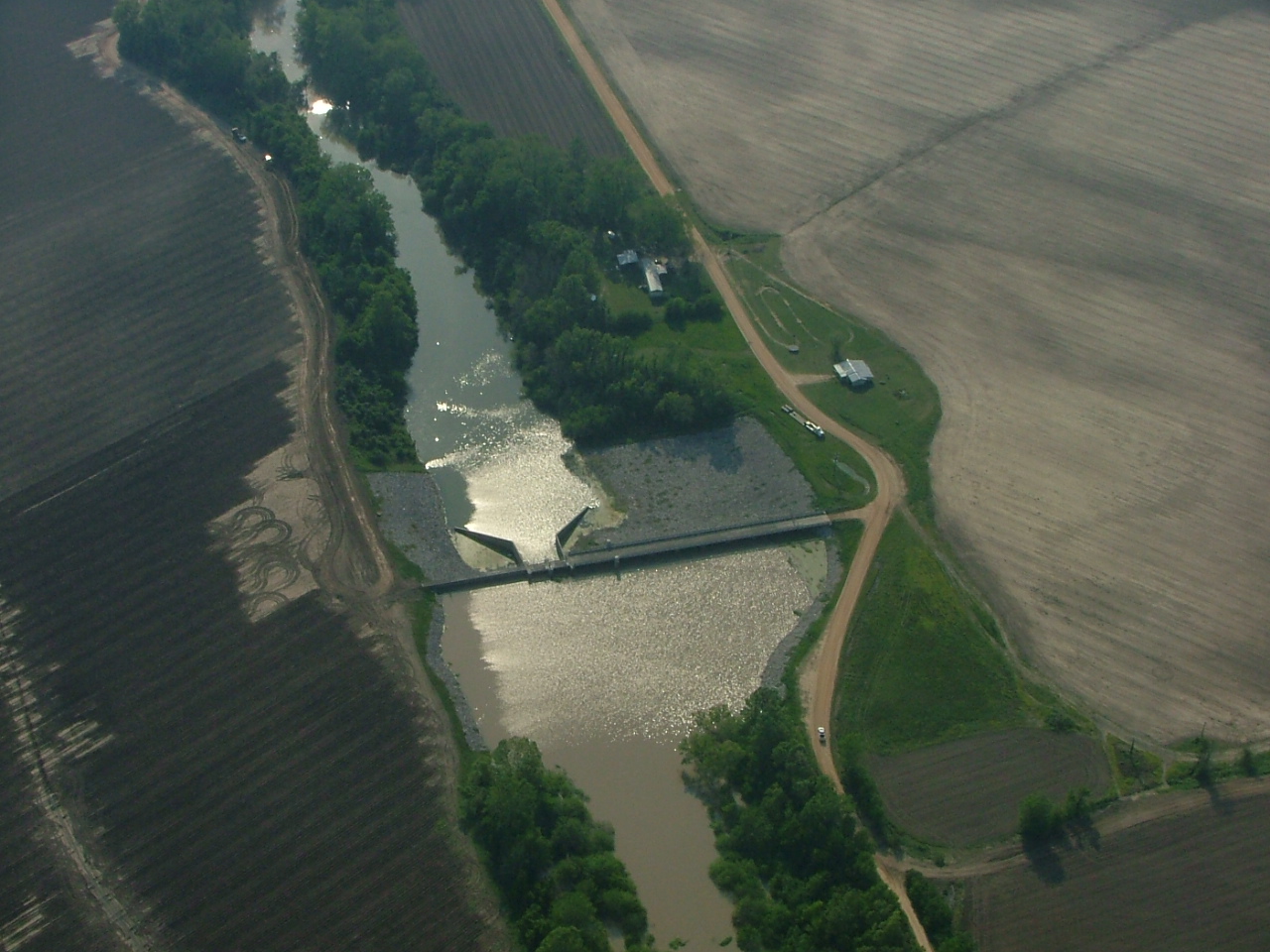
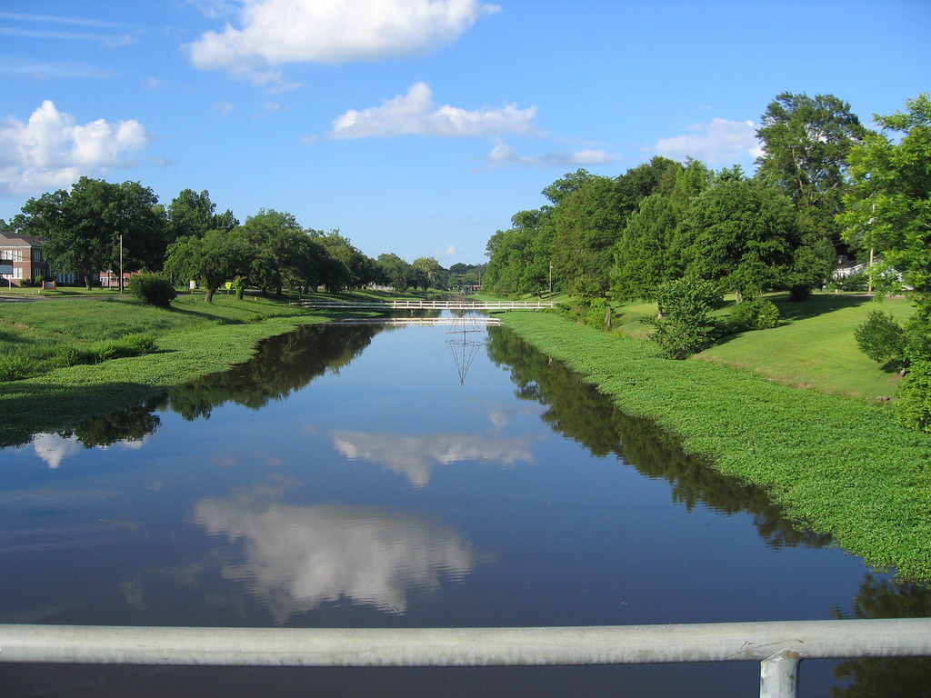
Related Photos:

IMG_7872

IMG_7802
DSCF2453

DSCF2454
DSCF2452

IMG_7800

IMG_7804

Madison Parrish Courthouse

\Shot from the levee

Louisiana bayou

Angle to Key West
brushy bayou
2014-08-17_10-39-35

2014-07-28_08-53-49

2014-07-17_04-18-27
Topographic Map of Thomastown Rd, Tallulah, LA, USA
Find elevation by address:

Places near Thomastown Rd, Tallulah, LA, USA:
Merle Gustafson Road
Martin L King Apartments
204 Garfield St
Eagle Lake Shore Road
2735 Eagle Lake Shore Rd
2738 Eagle Lake Shore Rd
Vicksburg Tallulah Regional Airport
327 Sea Island Dr
MS-, Vicksburg, MS, USA
1308 Eagle Lake Shore Rd
1272 Eagle Lake Shore Rd
Eagle Lake, Ms
Lo-sto Road
109 Hanging Moss Rd
121 Belle Island Dr
55 Ramsey Ln
231 Belle Island Dr
233 Belle Island Dr
15481 Ms-465
15481 Ms-465
Recent Searches:
- Elevation of Tenjo, Cundinamarca, Colombia
- Elevation of Côte-des-Neiges, Montreal, QC H4A 3J6, Canada
- Elevation of Bobcat Dr, Helena, MT, USA
- Elevation of Zu den Ihlowbergen, Althüttendorf, Germany
- Elevation of Badaber, Peshawar, Khyber Pakhtunkhwa, Pakistan
- Elevation of SE Heron Loop, Lincoln City, OR, USA
- Elevation of Slanický ostrov, 01 Námestovo, Slovakia
- Elevation of Spaceport America, Co Rd A, Truth or Consequences, NM, USA
- Elevation of Warwick, RI, USA
- Elevation of Fern Rd, Whitmore, CA, USA