Elevation of Lo-Sto Road, Lo-Sto Rd, Mississippi, USA
Location: United States > Mississippi > Warren County > Vicksburg >
Longitude: -90.993890
Latitude: 32.5117321
Elevation: 30m / 98feet
Barometric Pressure: 101KPa
Elevation Map:
Satellite Map:
Related Photos:
DSCF2453

DSCF2454

IMG_7800

IMG_7804

DSCF2477

Angle to Key West

Where's you Learn to Drive ?

Where's you Learn to Drive ?

\Shot from the levee

Where's you Learn to Drive ?

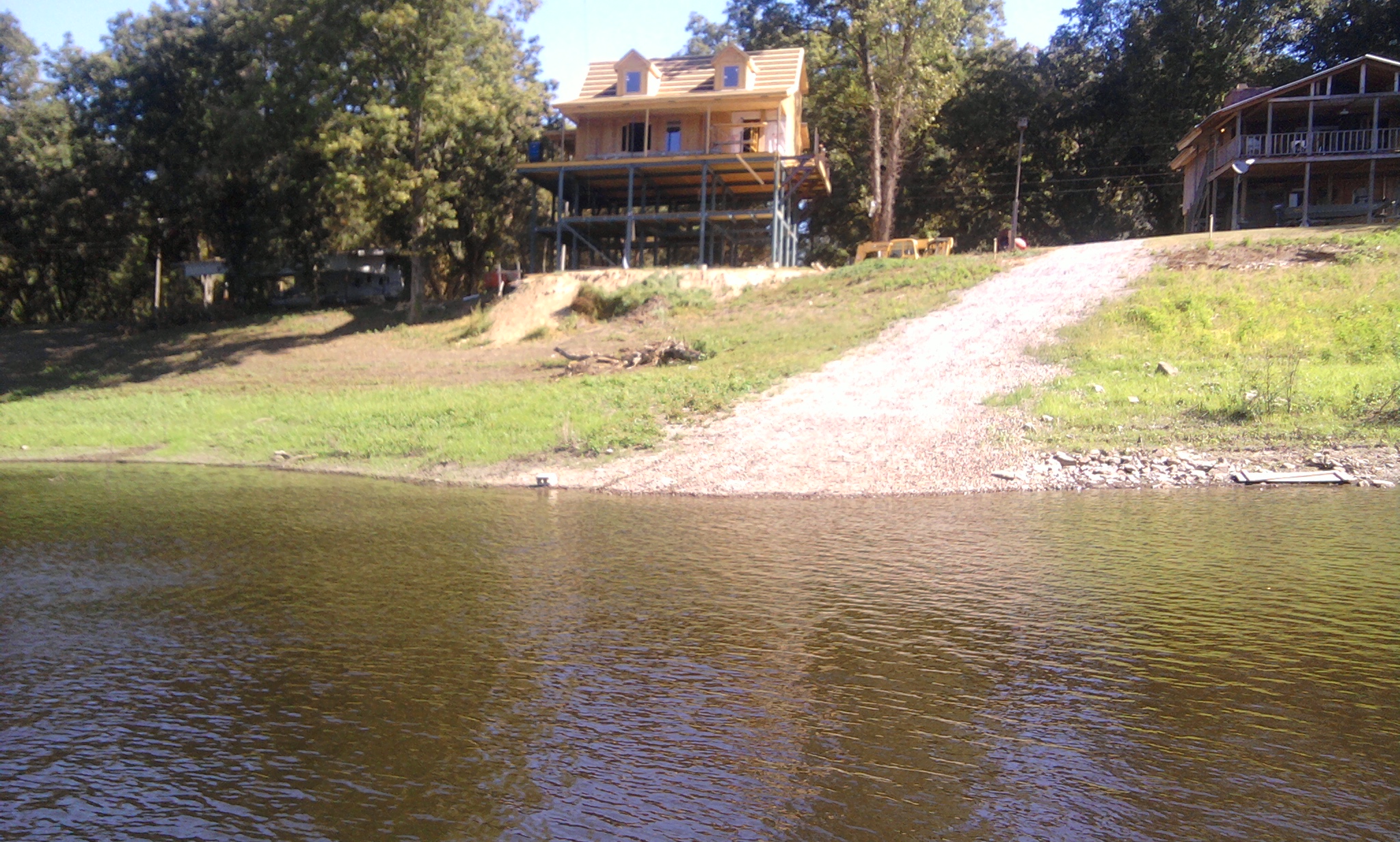
Alligator Lake
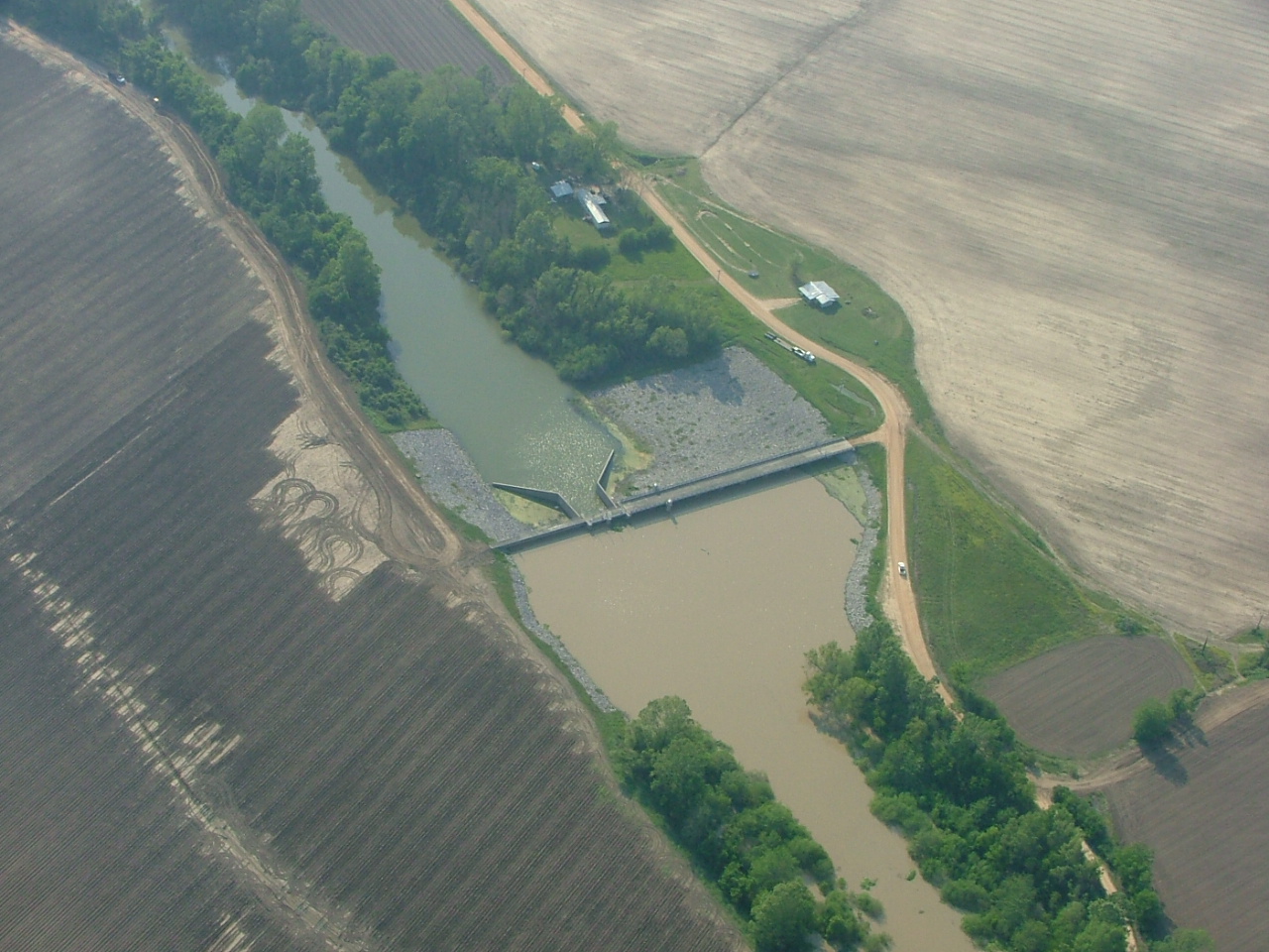
gravel landing upper end of albermarle lake

Steele's Bayou barrow pit

concrete ramp at albermarle shoot
Topographic Map of Lo-Sto Road, Lo-Sto Rd, Mississippi, USA
Find elevation by address:

Places near Lo-Sto Road, Lo-Sto Rd, Mississippi, USA:
15481 Ms-465
15481 Ms-465
15481 Ms-465
121 Belle Island Dr
381 Melanie Ln
231 Belle Island Dr
233 Belle Island Dr
109 Hanging Moss Rd
55 Ramsey Ln
Eagle Lake, Ms
1272 Eagle Lake Shore Rd
1308 Eagle Lake Shore Rd
2738 Eagle Lake Shore Rd
2735 Eagle Lake Shore Rd
Eagle Lake Shore Road
Vicksburg, MS, USA
Vicksburg Tallulah Regional Airport
Kings Crossing Rd, Vicksburg, MS, USA
7420 U.s Hwy 61
Fort Hill Drive
Recent Searches:
- Elevation of Elwyn Dr, Roanoke Rapids, NC, USA
- Elevation of Congressional Dr, Stevensville, MD, USA
- Elevation of Bellview Rd, McLean, VA, USA
- Elevation of Stage Island Rd, Chatham, MA, USA
- Elevation of Shibuya Scramble Crossing, 21 Udagawacho, Shibuya City, Tokyo -, Japan
- Elevation of Jadagoniai, Kaunas District Municipality, Lithuania
- Elevation of Pagonija rock, Kranto 7-oji g. 8"N, Kaunas, Lithuania
- Elevation of Co Rd 87, Jamestown, CO, USA
- Elevation of Tenjo, Cundinamarca, Colombia
- Elevation of Côte-des-Neiges, Montreal, QC H4A 3J6, Canada