Elevation of The Inn At Castle Rock, Tombstone Canyon Rd, Bisbee, AZ, USA
Location: United States > Arizona > Cochise County > Bisbee >
Longitude: -109.91884
Latitude: 31.4417225
Elevation: 1638m / 5374feet
Barometric Pressure: 83KPa
Elevation Map:
Satellite Map:
Related Photos:

View Through
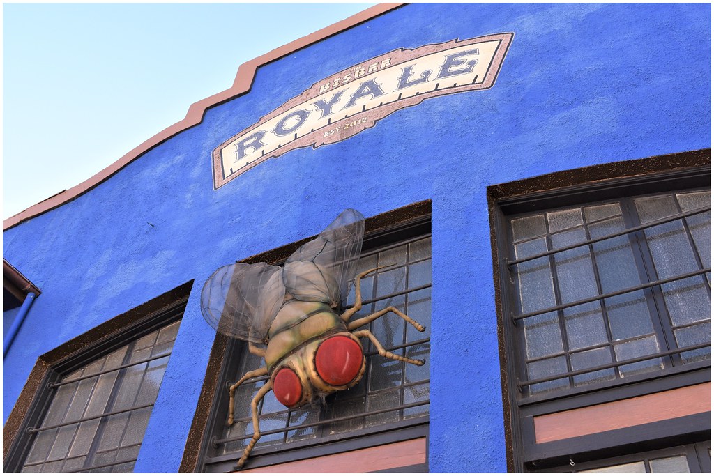
Whimsical Street Views @ Bisbee, Arizona

Anything Mosaic, Whimsical Street Views @ Bisbee, Arizona

Whimsical Street Views @ Bisbee, Arizona

audrey's inn

Whimsical Street Views @ Bisbee, Arizona

Beautiful Downtown Bisbee

62 erie st.

Bisbee, Arizona at night

Really??

shady dell

life in the rear-view mirror

TGIF!!

Pull up to the Shady Dell

_MG_7437.jpg

2015-10-16_05-16-29

This Was

Bisbee gay pride (3125)

2006 Bisbee, Arizona- the view from the "B"

Please Pick Up

Blue Lights

Morning at the pit - Bisbee, Arizona.

Pit Roads

Good Friday Morning from Naco, Arizona!!!

On the edge of 900-foot-deep Lavender Pit copper mine, Bisbee, Arizona ..

Freeport-McMoRan Copper Queen Mine, idled since 1975. South Bisbee, Arizona. 2020

Finding Nemo, Dory, and ...

Pit Shelves

Lavender Pit

Curved-bill Thrasher

Lavender Pit, Bisbee, AZ

Pit Roads

Curved-bill Thrasher

House Finch

Old abandoned gas station - Lowell ghost town district, Bisbee, Cochise County, Arizona..

Bisbee Arizona - early morning at the 900-ft-deep Lavender Pit copper mine, in operation 1950-74..

Settling Tanks

On The Phone

2016-05-15_15-22-15 Tucson Roadtrip - 7D__9517_stitch

Brewer's Sparrow

Pit Shelves
Topographic Map of The Inn At Castle Rock, Tombstone Canyon Rd, Bisbee, AZ, USA
Find elevation by address:

Places near The Inn At Castle Rock, Tombstone Canyon Rd, Bisbee, AZ, USA:
130 Tombstone Canyon
Higgins Hill Walk
24 Main St
111 Higgins Ave
37 Laundry Hill Rd
443 Roberts Ave
Bisbee
802 Tombstone Canyon
120 Locklin Ave
Bisbee, AZ, USA
838 Sims Rd
946 Sims Rd
946 Sims Rd
946 Sims Rd
901 Tombstone Canyon Mile # H
47 Wood Canyon
S Durango Ave, Bisbee, AZ, USA
Bisbee Rd, Bisbee, AZ, USA
928 S Coy St
South Dalewood Road
Recent Searches:
- Elevation of Congressional Dr, Stevensville, MD, USA
- Elevation of Bellview Rd, McLean, VA, USA
- Elevation of Stage Island Rd, Chatham, MA, USA
- Elevation of Shibuya Scramble Crossing, 21 Udagawacho, Shibuya City, Tokyo -, Japan
- Elevation of Jadagoniai, Kaunas District Municipality, Lithuania
- Elevation of Pagonija rock, Kranto 7-oji g. 8"N, Kaunas, Lithuania
- Elevation of Co Rd 87, Jamestown, CO, USA
- Elevation of Tenjo, Cundinamarca, Colombia
- Elevation of Côte-des-Neiges, Montreal, QC H4A 3J6, Canada
- Elevation of Bobcat Dr, Helena, MT, USA