Elevation of Roberts Ave, Bisbee, AZ, USA
Location: United States > Arizona > Cochise County > Bisbee >
Longitude: -109.92621
Latitude: 31.4436379
Elevation: 1694m / 5558feet
Barometric Pressure: 83KPa
Elevation Map:
Satellite Map:
Related Photos:

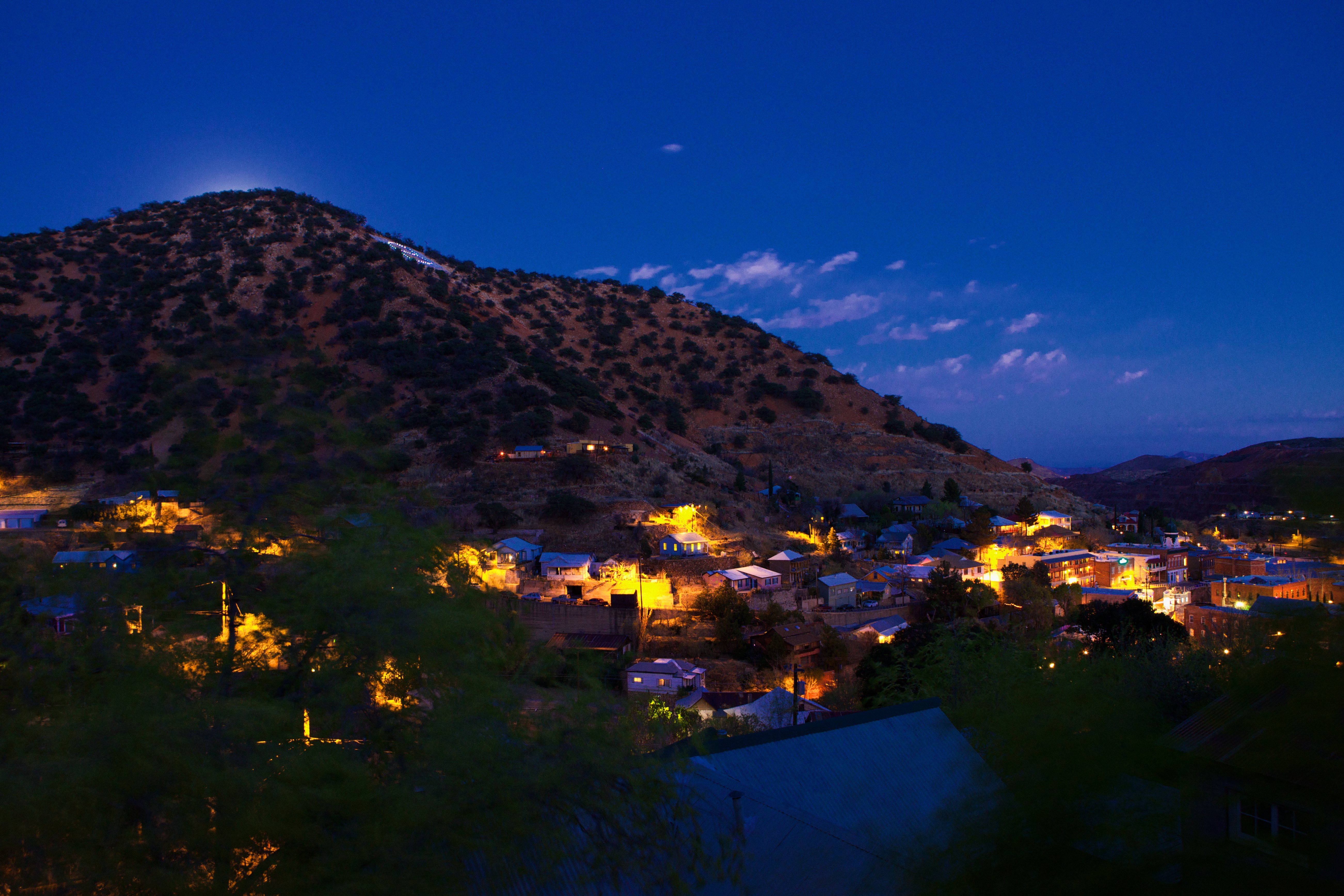
Bisbee, Arizona at night
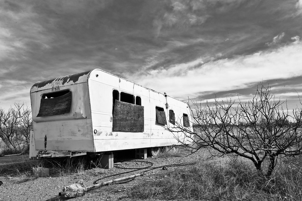
shady dell
Pull up to the Shady Dell
puck's eye view
View from the Old City Park, Bisbee Arizona

62 erie st.
This Was

View Through

Plant picture above the city.
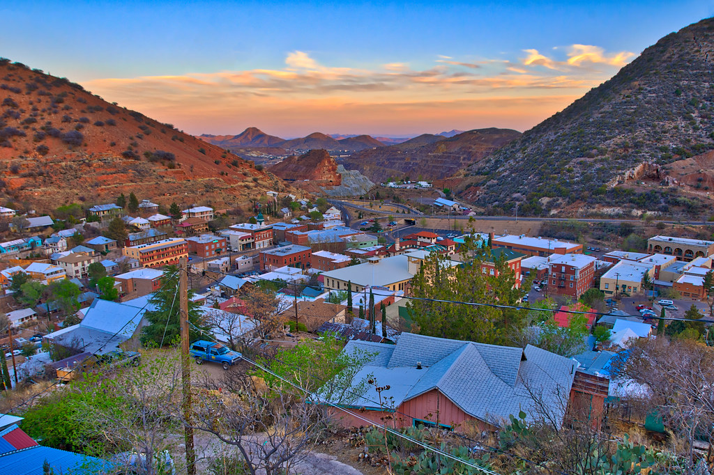
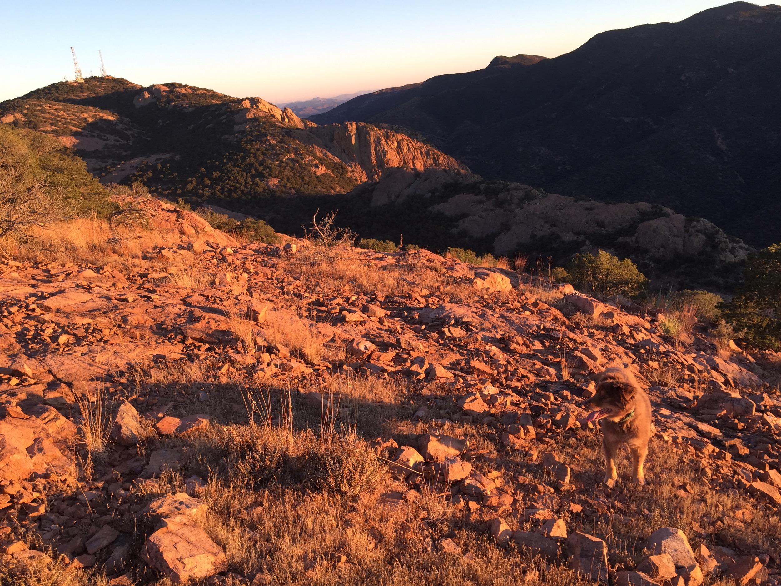
Overlooking Bisbee
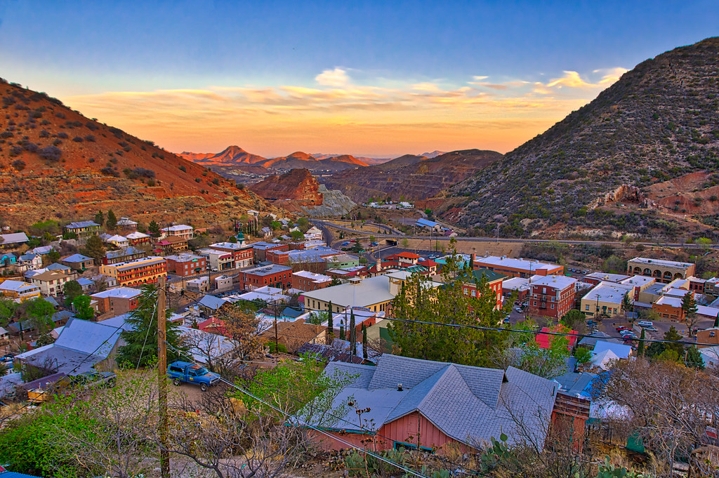
Overlooking Bisbee

Colorful Details
Bisbee at dusk
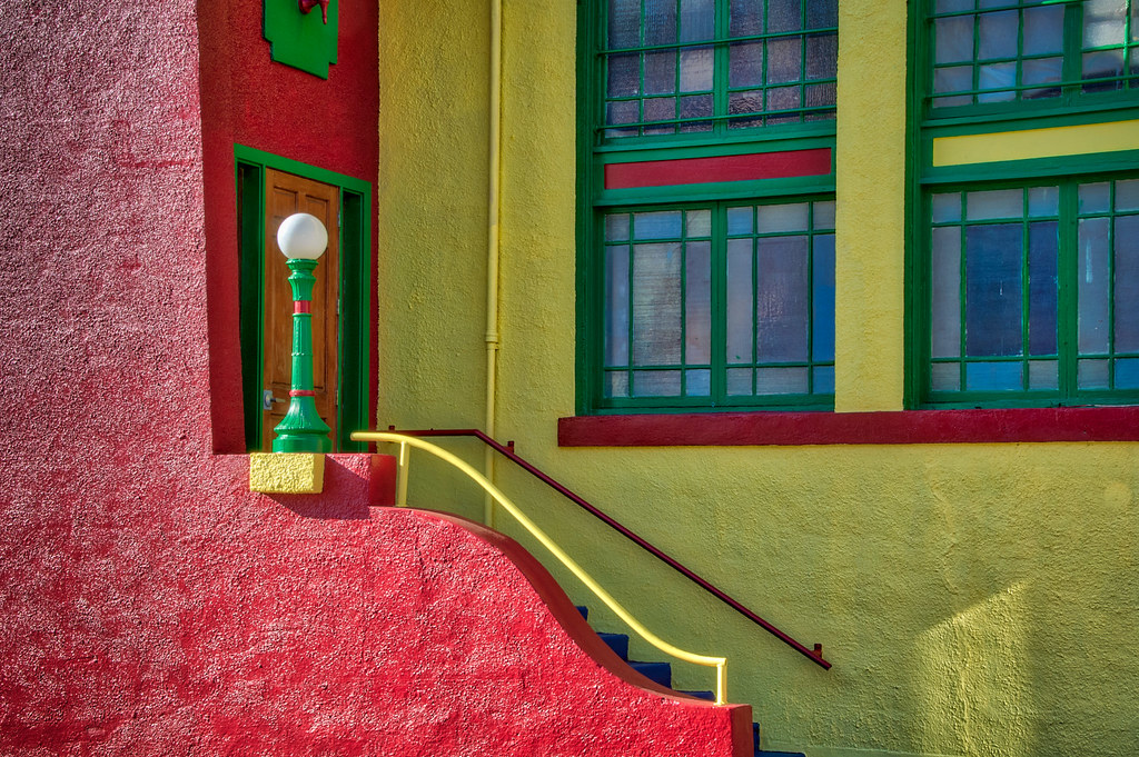
Colorful Details
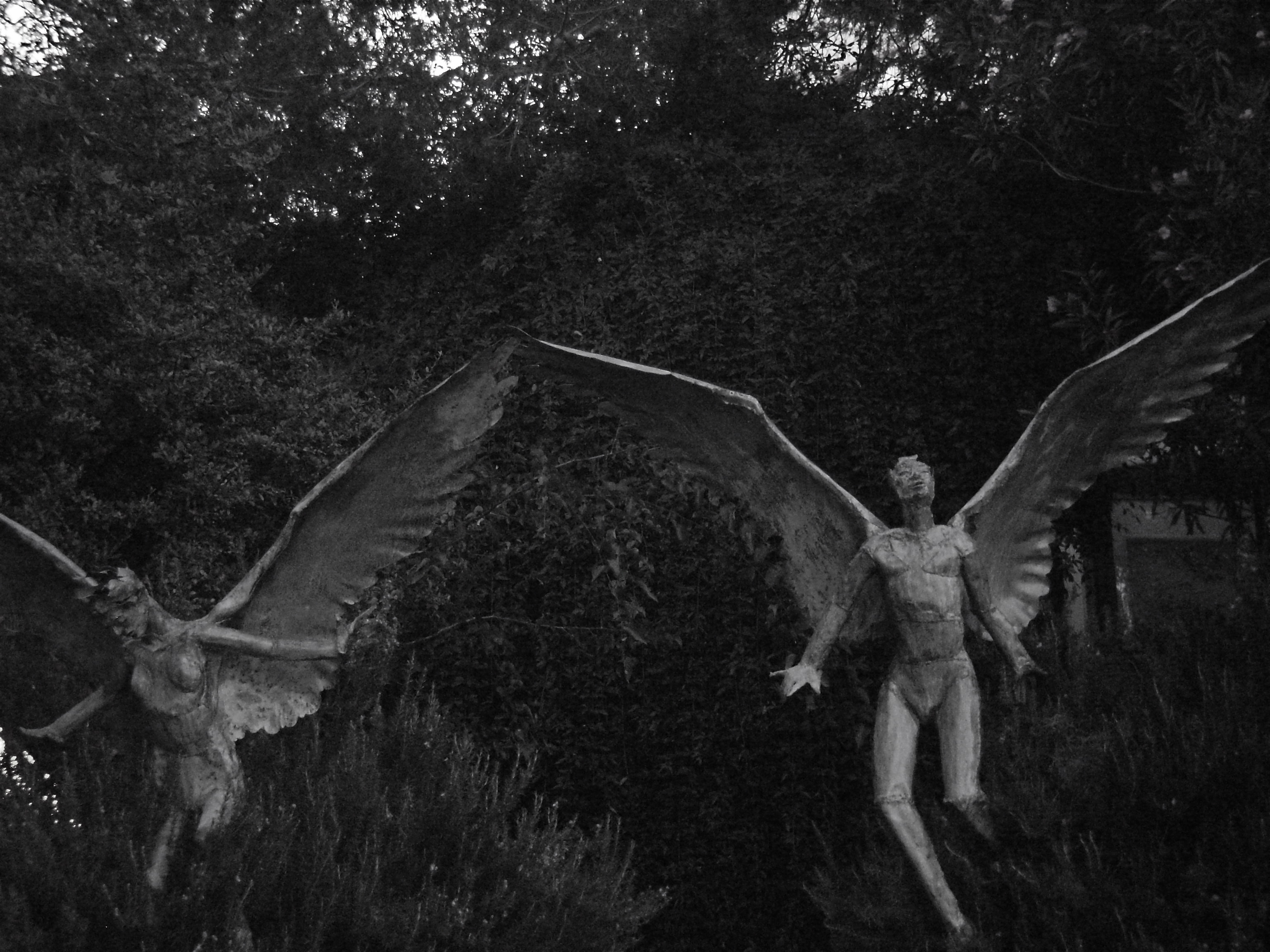
B/W Angel Statues, Bisbee, Arizona
TGIF!!
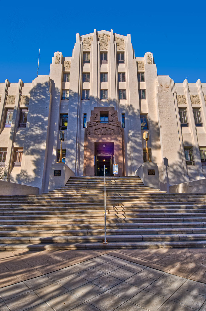
The Grand Staircase

“the cross”

Looking Down!
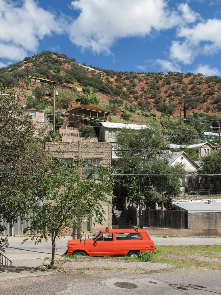
A wagoneer area.
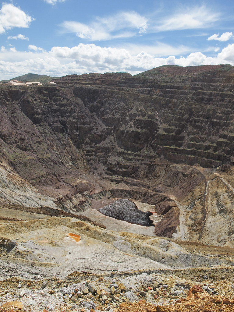
Webpictures of badwater pools at the bottoms of pitmines.
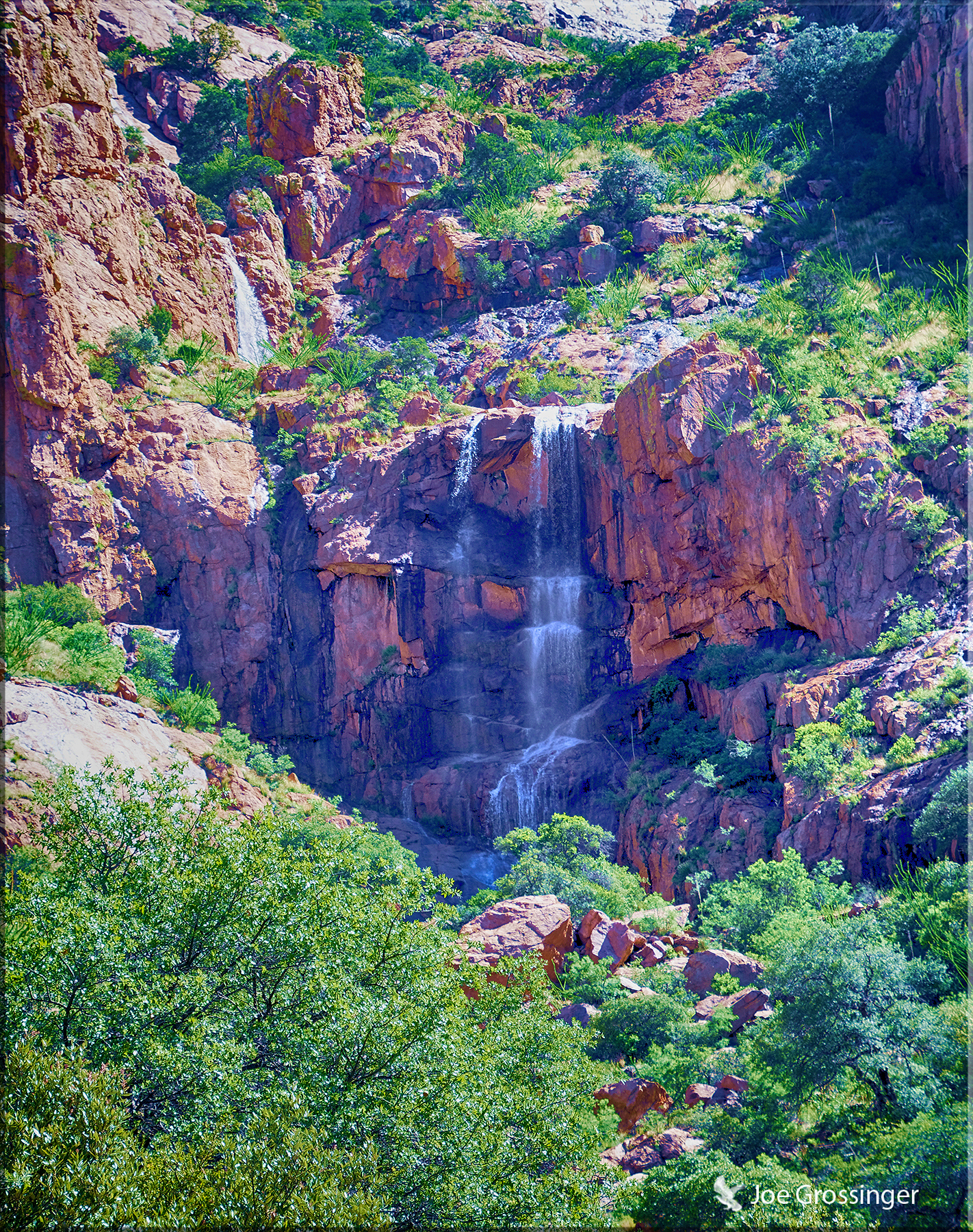
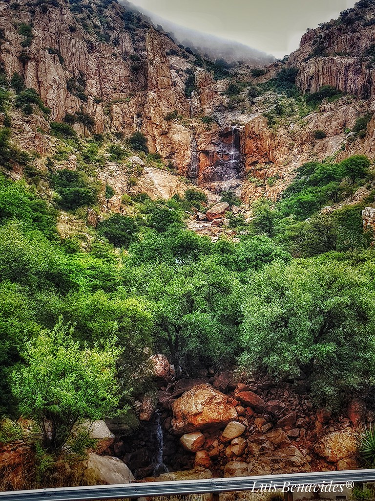
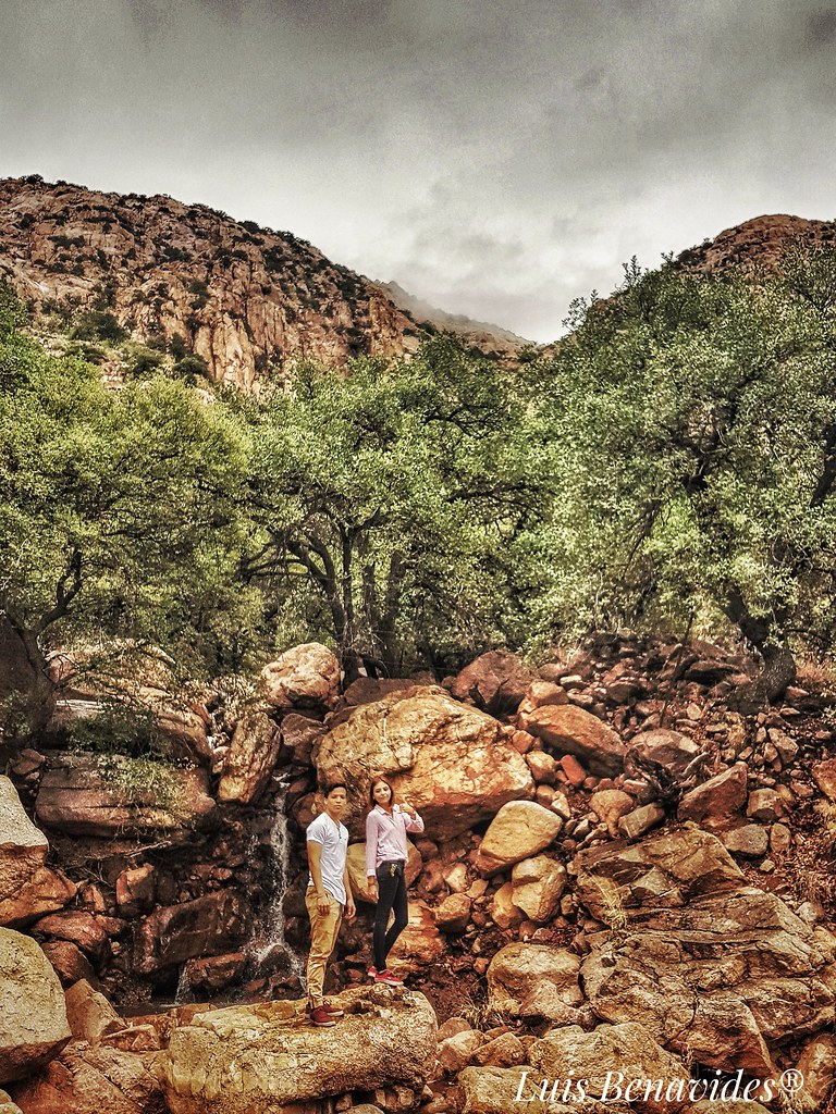
Bisbee Waterfall
2018-08-15_07-57-30
2018-08-15_08-49-32
2018-08-15_08-05-24

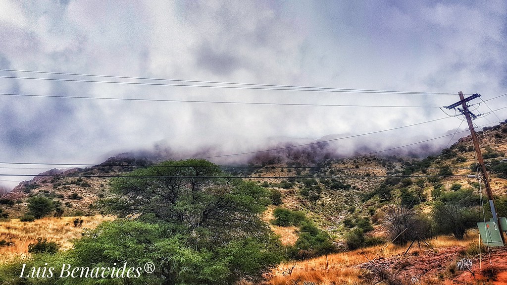
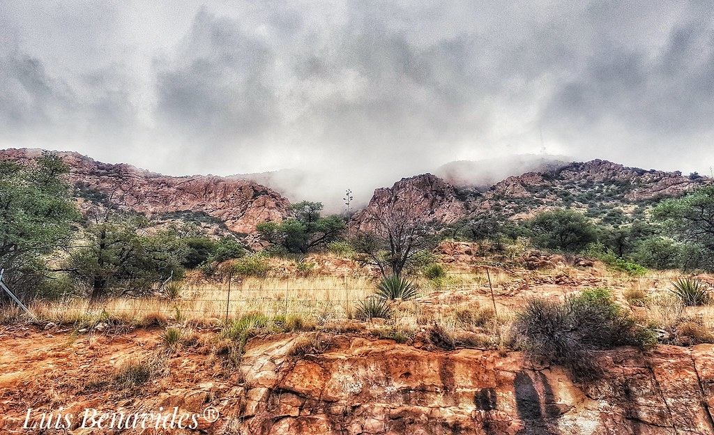
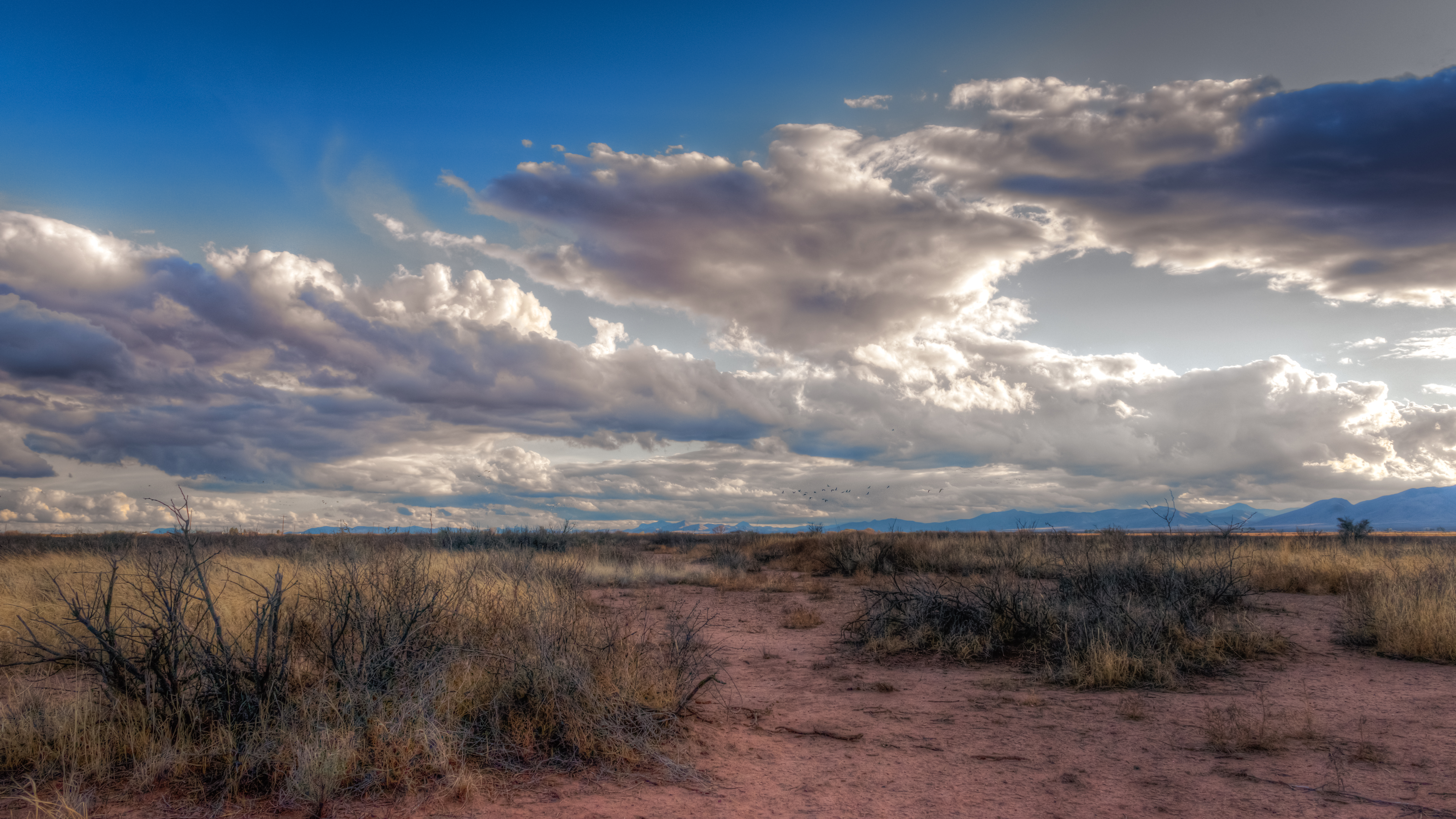
Dramatic sky over the Bisbee Hills #2
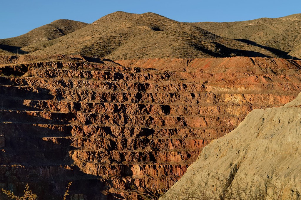
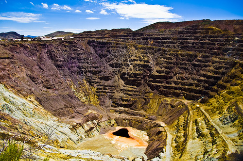
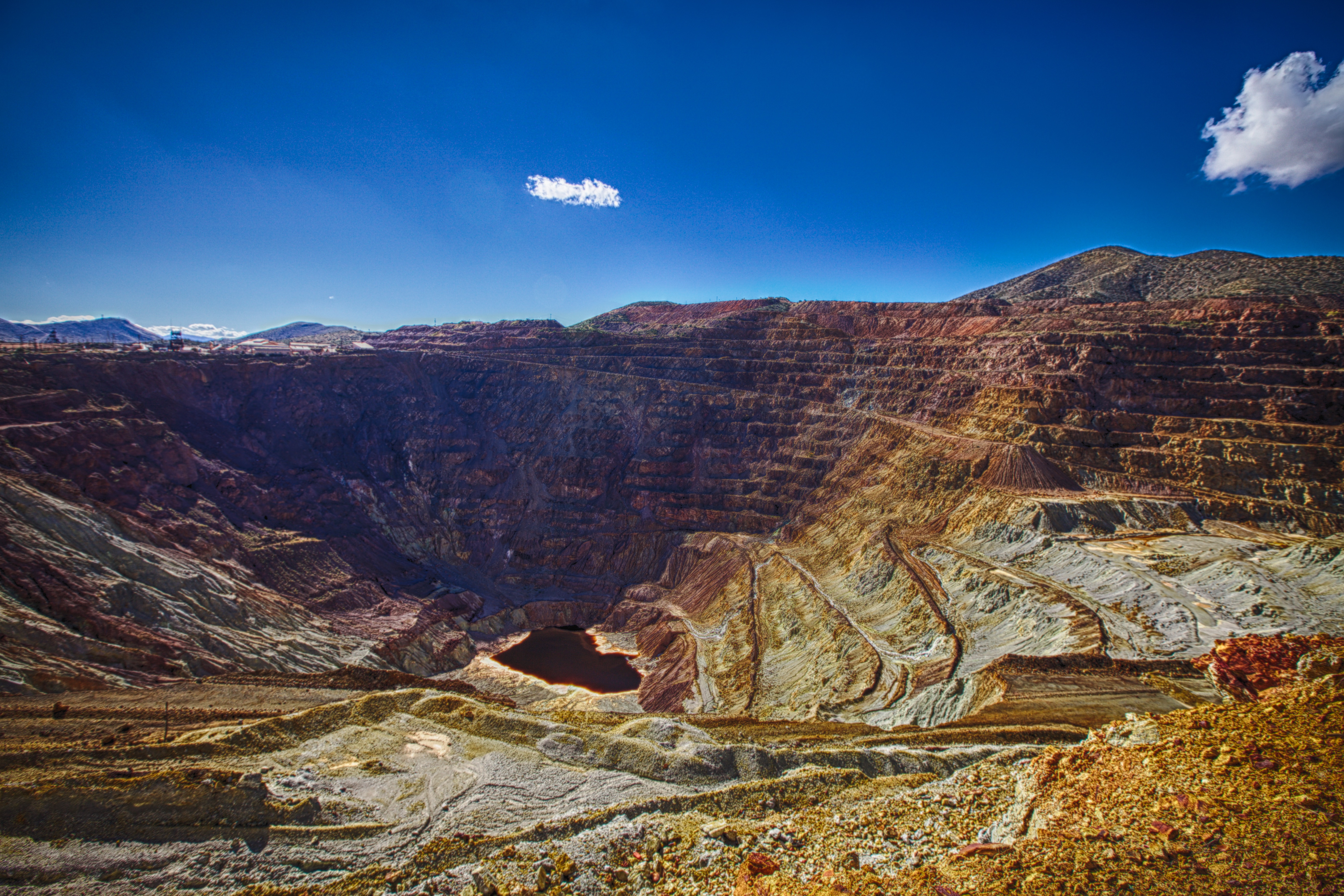
Bisbee Arizona - early morning at the 900-ft-deep Lavender Pit copper mine, in operation 1950-74
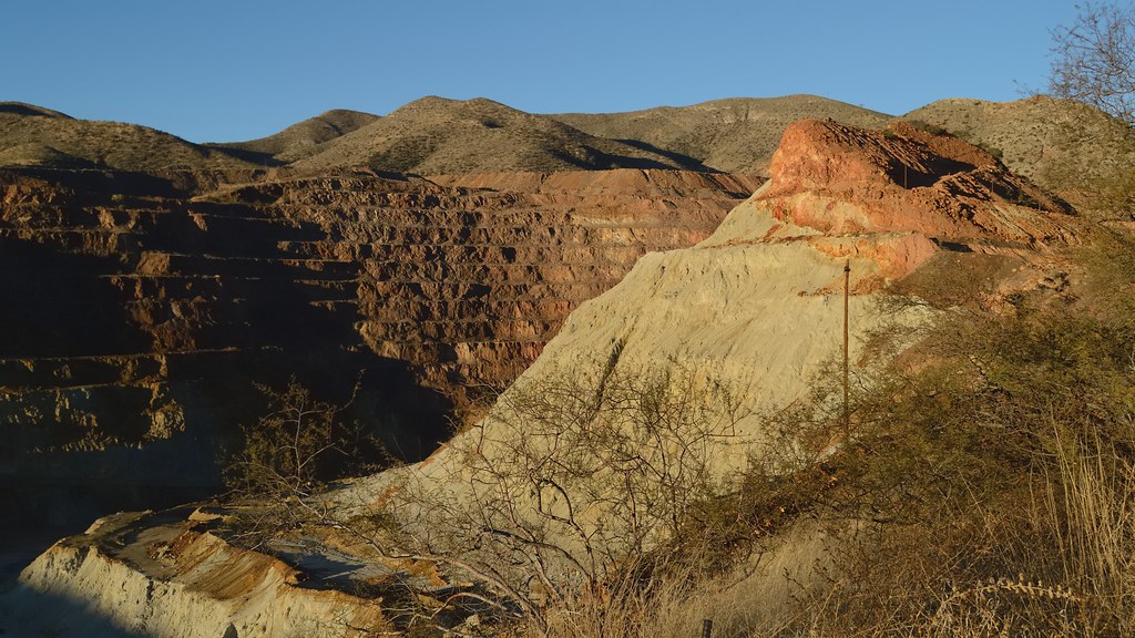
On the edge of 900-foot-deep Lavender Pit copper mine, Bisbee, Arizona ..
All Photos-46
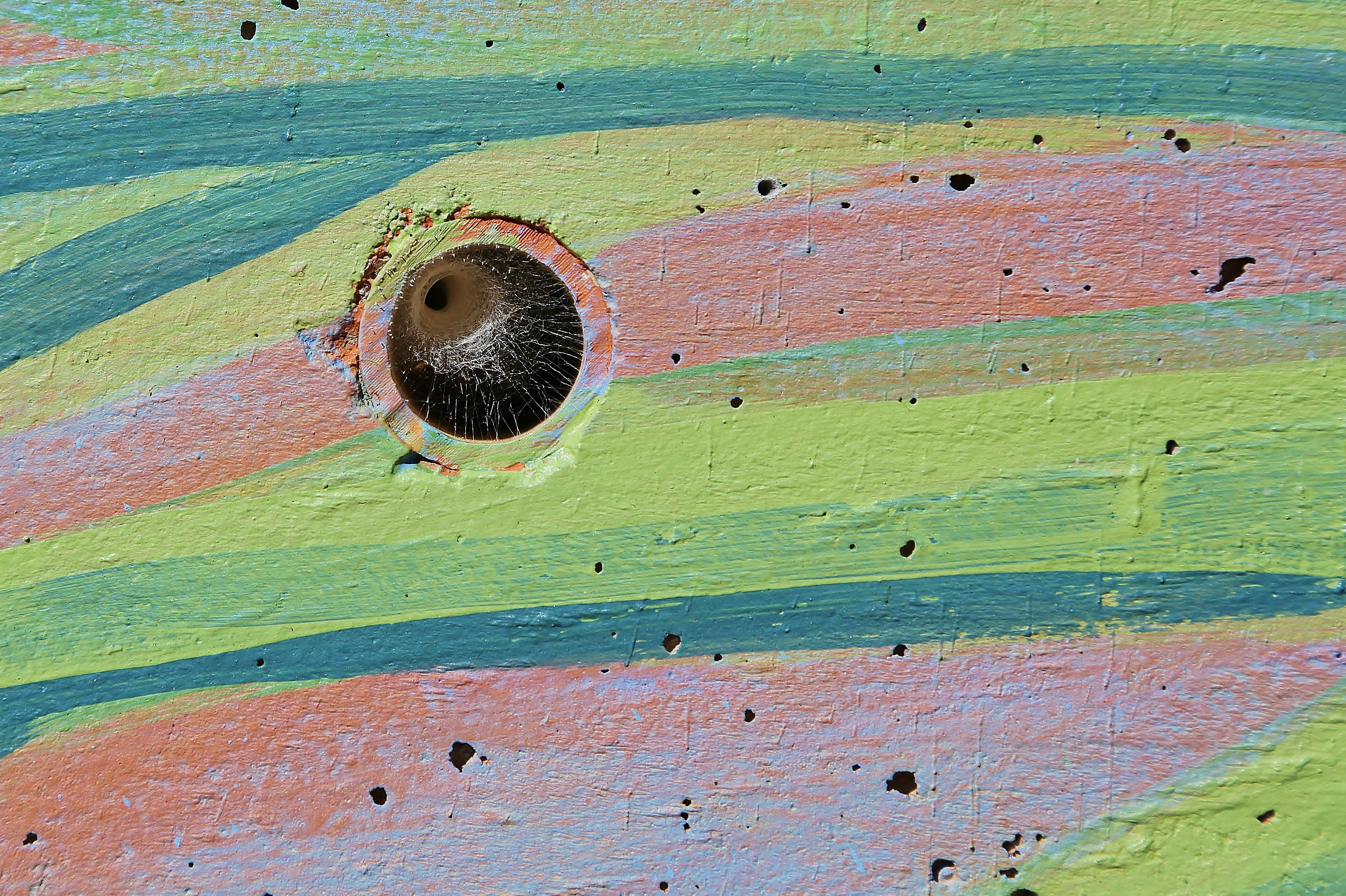
0U1A8599 Bisbee - bug nest in hole in a wall mural

2018-08-15_08-09-40
銅礦廠

83-IMG_4144
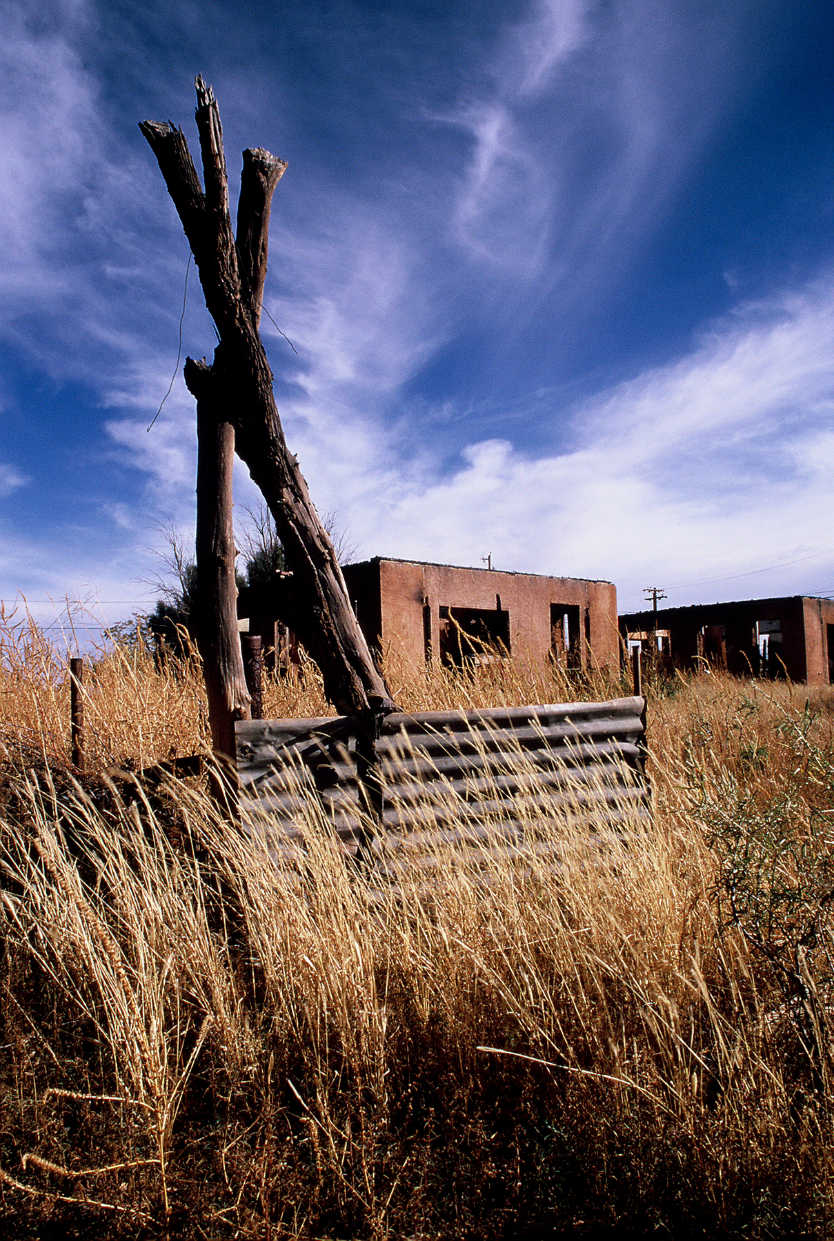
Abandoned Building, Naco Az
The Pit

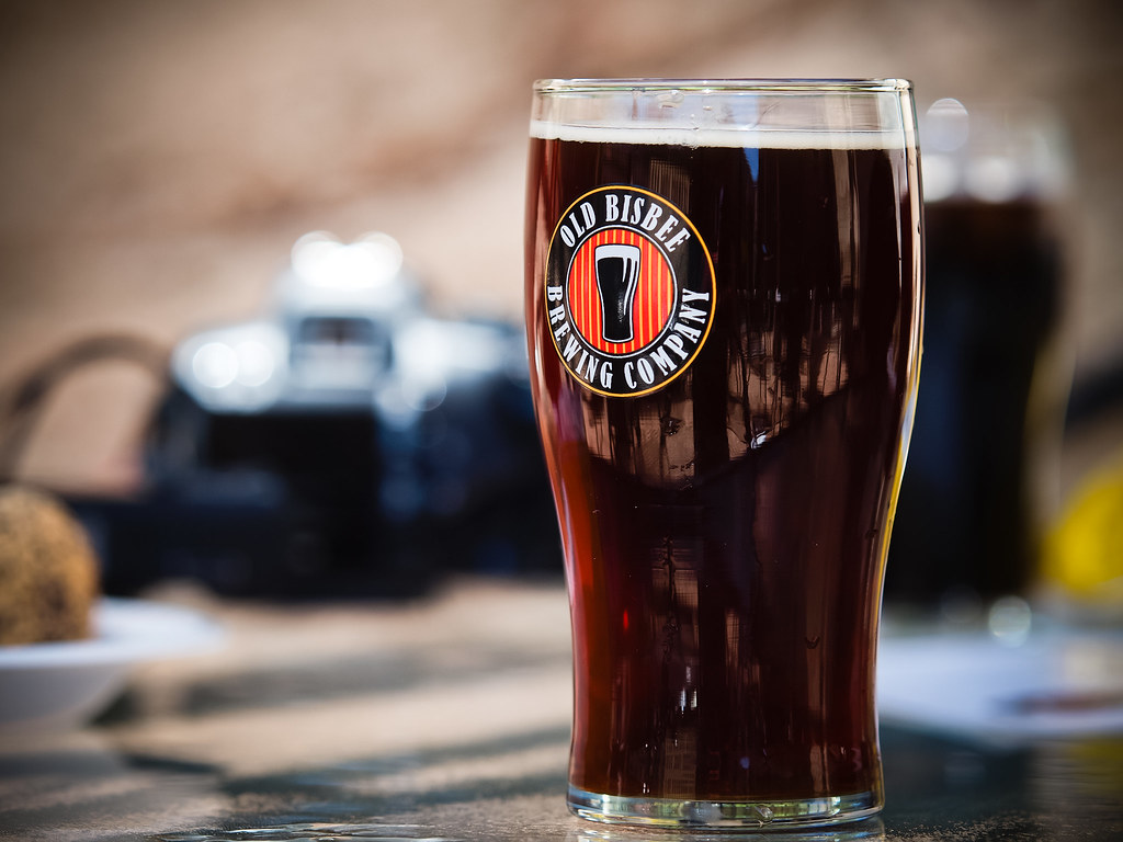
A Lot of Beer
On The Phone
2018-08-22_07-32-47
Topographic Map of Roberts Ave, Bisbee, AZ, USA
Find elevation by address:

Places near Roberts Ave, Bisbee, AZ, USA:
111 Higgins Ave
37 Laundry Hill Rd
Bisbee
Higgins Hill Walk
130 Tombstone Canyon
The Inn At Castle Rock
802 Tombstone Canyon
120 Locklin Ave
24 Main St
838 Sims Rd
946 Sims Rd
946 Sims Rd
946 Sims Rd
901 Tombstone Canyon Mile # H
47 Wood Canyon
Bisbee, AZ, USA
S Durango Ave, Bisbee, AZ, USA
928 S Coy St
South Dalewood Road
987 Az-92
Recent Searches:
- Elevation of Jalan Senandin, Lutong, Miri, Sarawak, Malaysia
- Elevation of Bilohirs'k
- Elevation of 30 Oak Lawn Dr, Barkhamsted, CT, USA
- Elevation of Luther Road, Luther Rd, Auburn, CA, USA
- Elevation of Unnamed Road, Respublika Severnaya Osetiya — Alaniya, Russia
- Elevation of Verkhny Fiagdon, North Ossetia–Alania Republic, Russia
- Elevation of F. Viola Hiway, San Rafael, Bulacan, Philippines
- Elevation of Herbage Dr, Gulfport, MS, USA
- Elevation of Lilac Cir, Haldimand, ON N3W 2G9, Canada
- Elevation of Harrod Branch Road, Harrod Branch Rd, Kentucky, USA