Elevation of The Goat Village, Raithal, Uttarakhand, India
Location: India > Uttarakhand > Uttarkashi > Raithal >
Longitude: 78.6014823
Latitude: 30.8179698
Elevation: 2167m / 7110feet
Barometric Pressure: 78KPa
Elevation Map:
Satellite Map:
Related Photos:

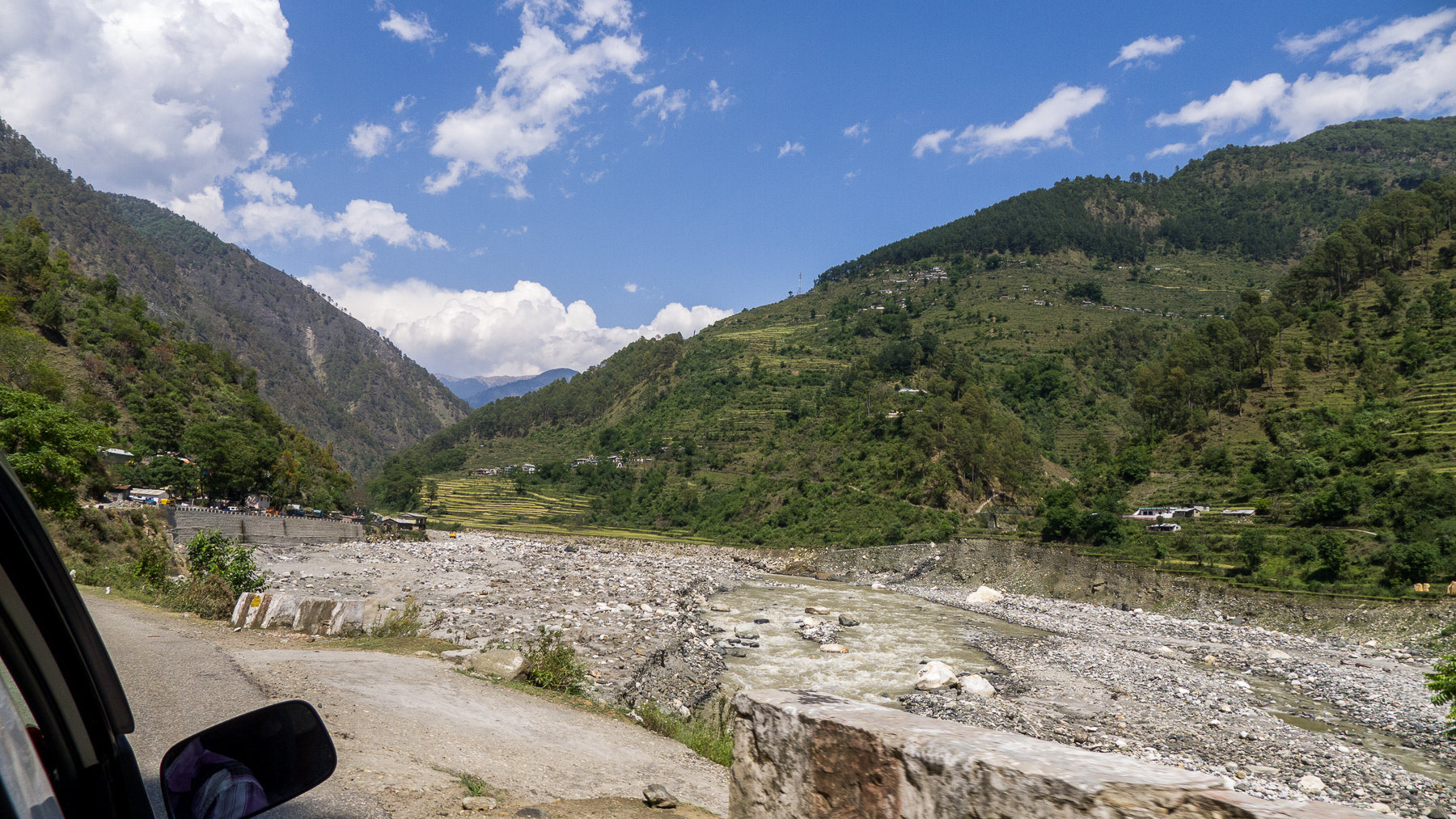
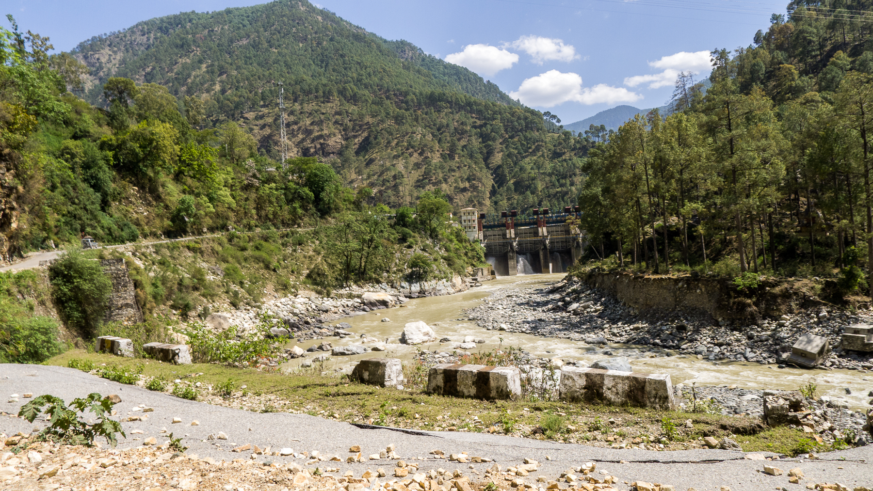
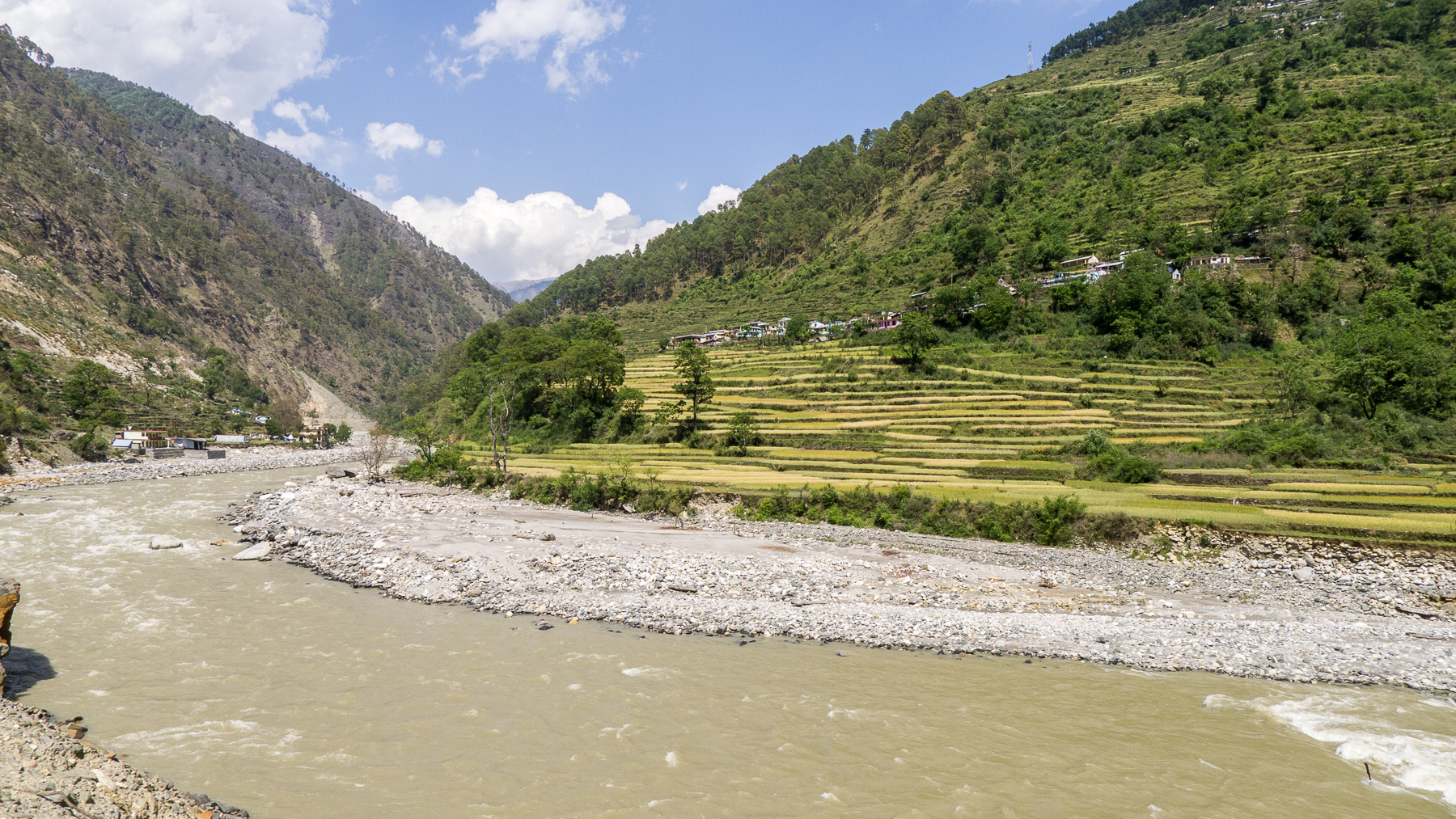
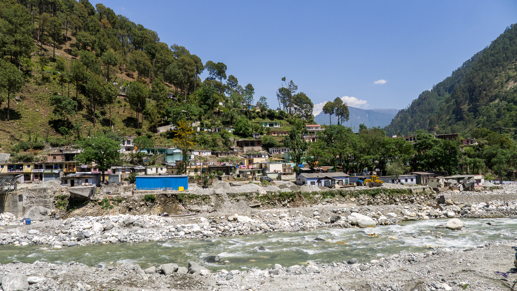
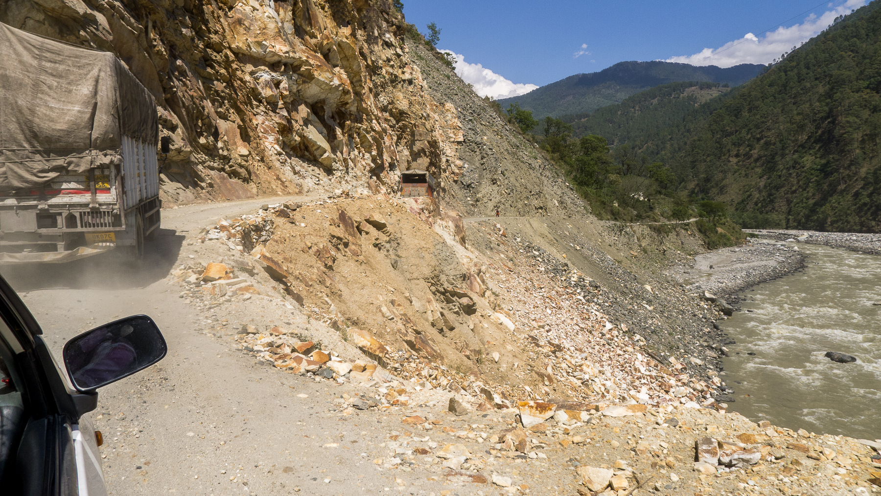
DSCN2135.jpg

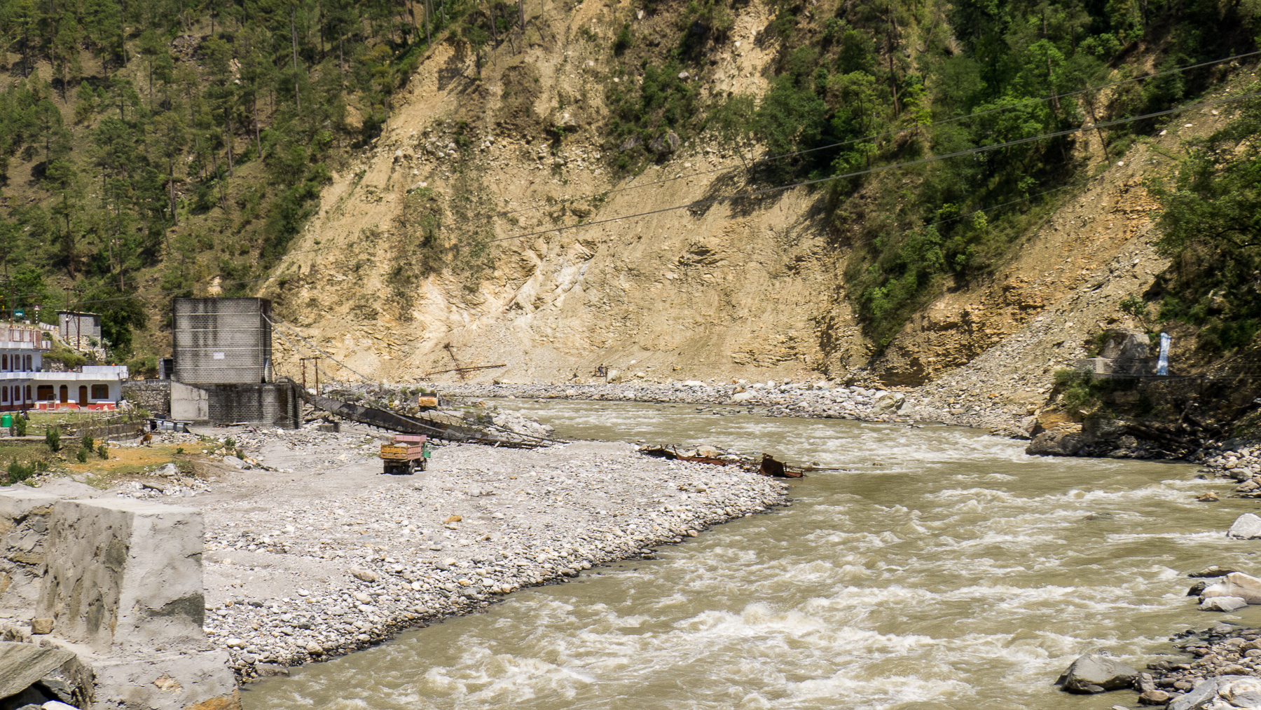
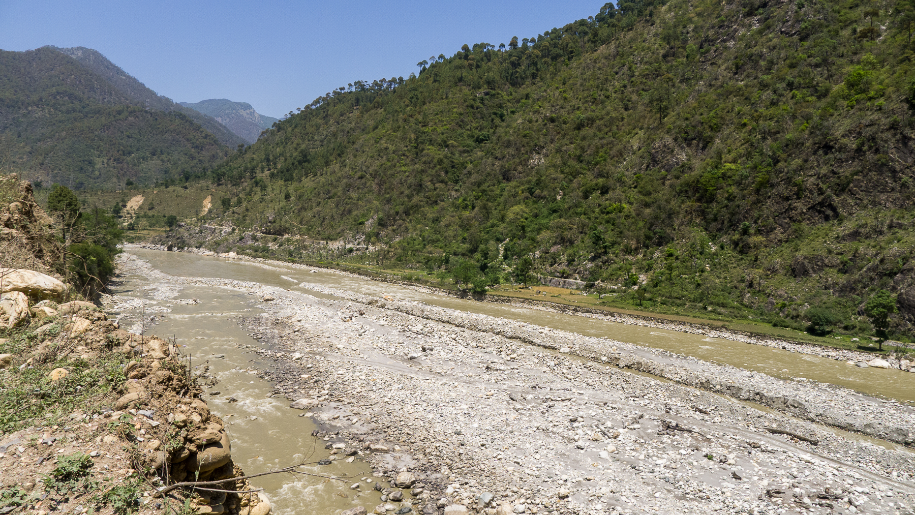
DSCN2108.jpg

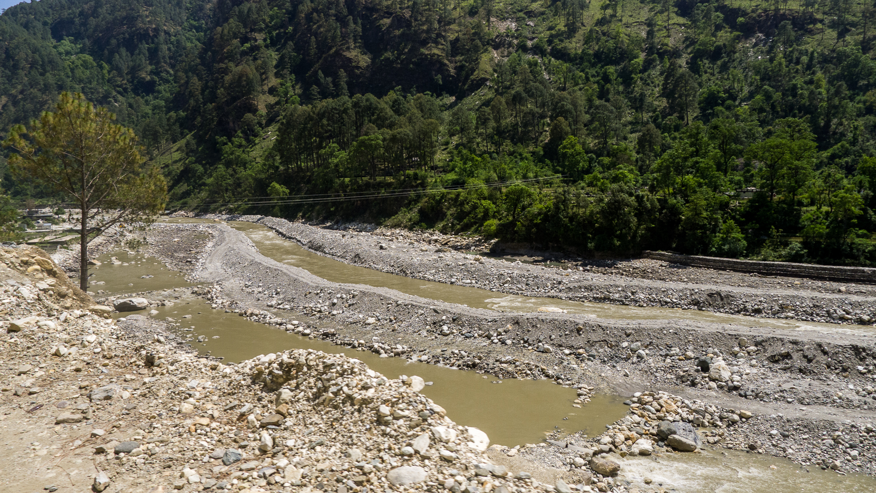
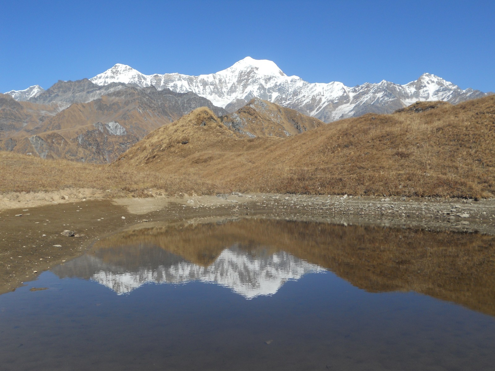
DSCN2196.jpg
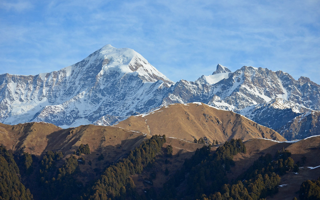
Bandarpunch and Kalanag Peaks
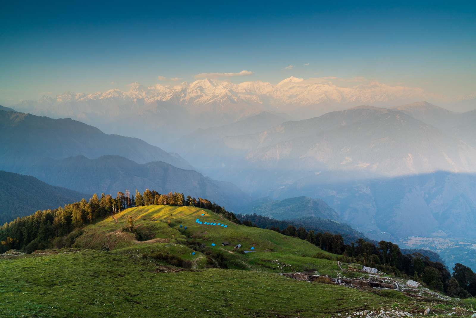
The camp below
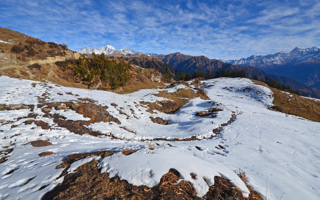
Dayara Bugyal Trek 3969
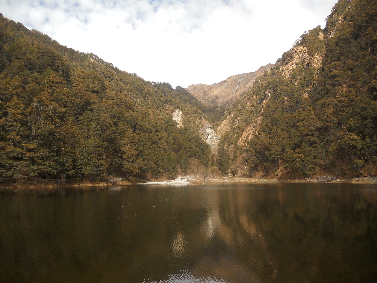
L1180630.jpg
L1180573.jpg

L1180595.jpg
L1180584.jpg
L1180560.jpg
L1180562.jpg
L1180567.jpg
L1180576.jpg
L1180556.jpg
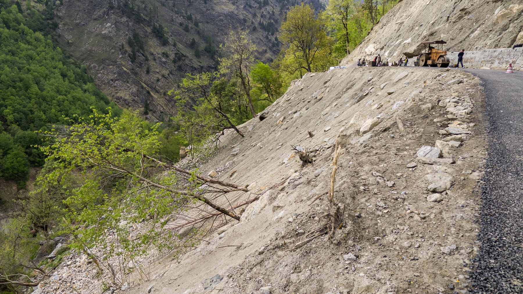
L1180633.jpg
L1180580.jpg
L1180554.jpg
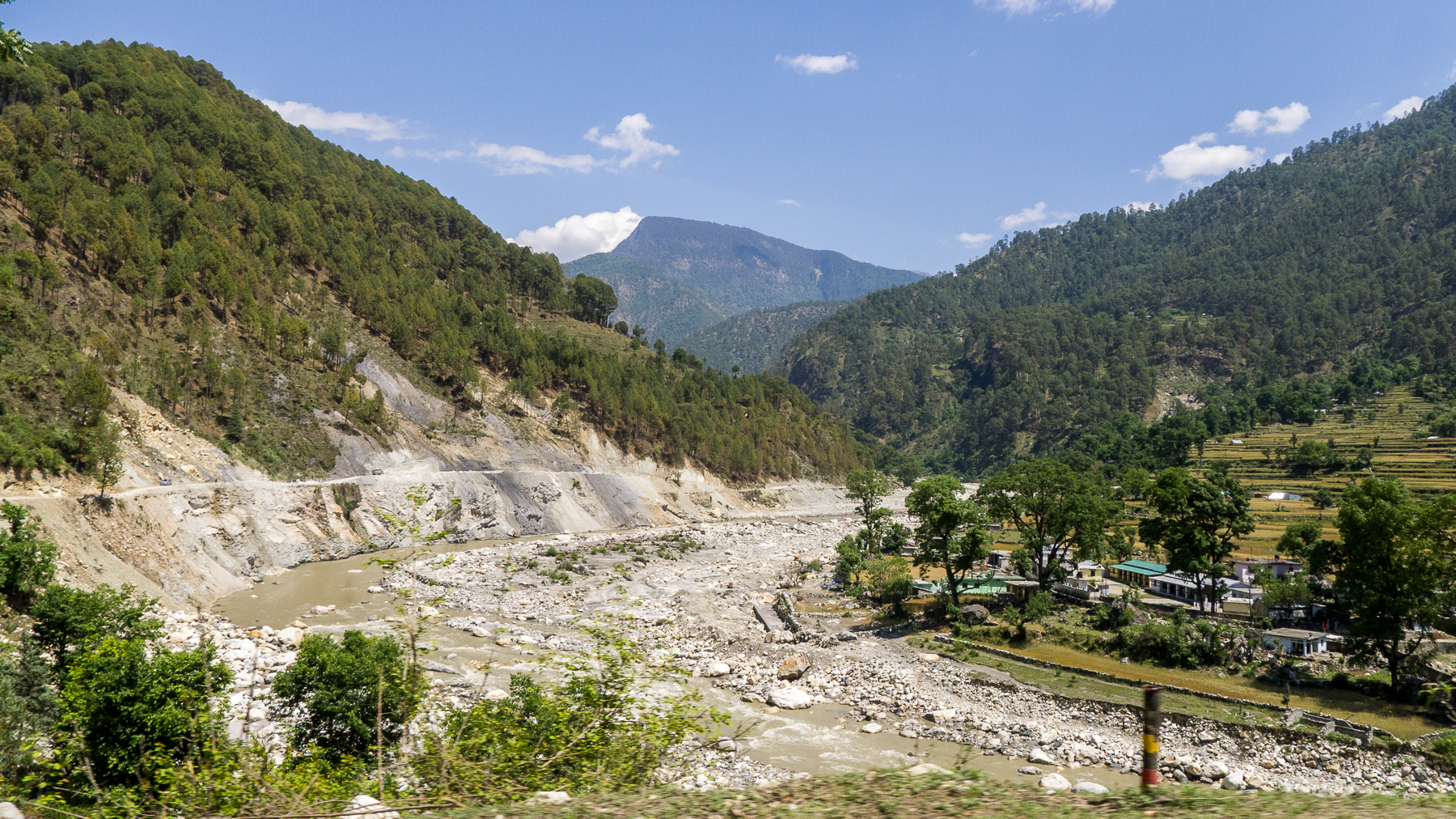
DSCN2228.jpg

DSCN2190.jpg
DSCN2246.jpg
Topographic Map of The Goat Village, Raithal, Uttarakhand, India
Find elevation by address:

Places near The Goat Village, Raithal, Uttarakhand, India:
Raithal
Dayara Bugyal
Dodital
Barahat Range
Uttarkashi
Uttarkashi
Uttarakhand, India
Matli
Hanuman Chatti
Bhigun
Nakuri
Mukhem
Koti Banal
Laluri
Barkot
Bhilangna River
Musankiri
Kandikhal
Tipri
Tehri Dam
Recent Searches:
- Elevation of Lust Road, Lust Rd, Florida, USA
- Elevation of Pleasant Valley Rd NW, Adairsville, GA, USA
- Elevation of Općina Šodolovci, Croatia
- Elevation of Šodolovci, Croatia
- Elevation of Old Clairton Rd, Jefferson Hills, PA, USA
- Elevation of st Ave SE, Lisbon, ND, USA
- Elevation of Steamboat Island Road Northwest, Olympia, WA, USA
- Elevation of Kootenai Trail Rd, Bonners Ferry, ID, USA
- Elevation of Hickory Blvd, Bonita Springs, FL, USA
- Elevation of Lalagbene, Bayelsa, Nigeria