Elevation of Laluri, Uttarakhand, India
Location: India > Uttarakhand > Tehri Garhwal >
Longitude: 78.3130951
Latitude: 30.5541563
Elevation: 1047m / 3435feet
Barometric Pressure: 89KPa
Elevation Map:
Satellite Map:
Related Photos:

A reason to trek
A reason to trek

Chamba Valley sunrise
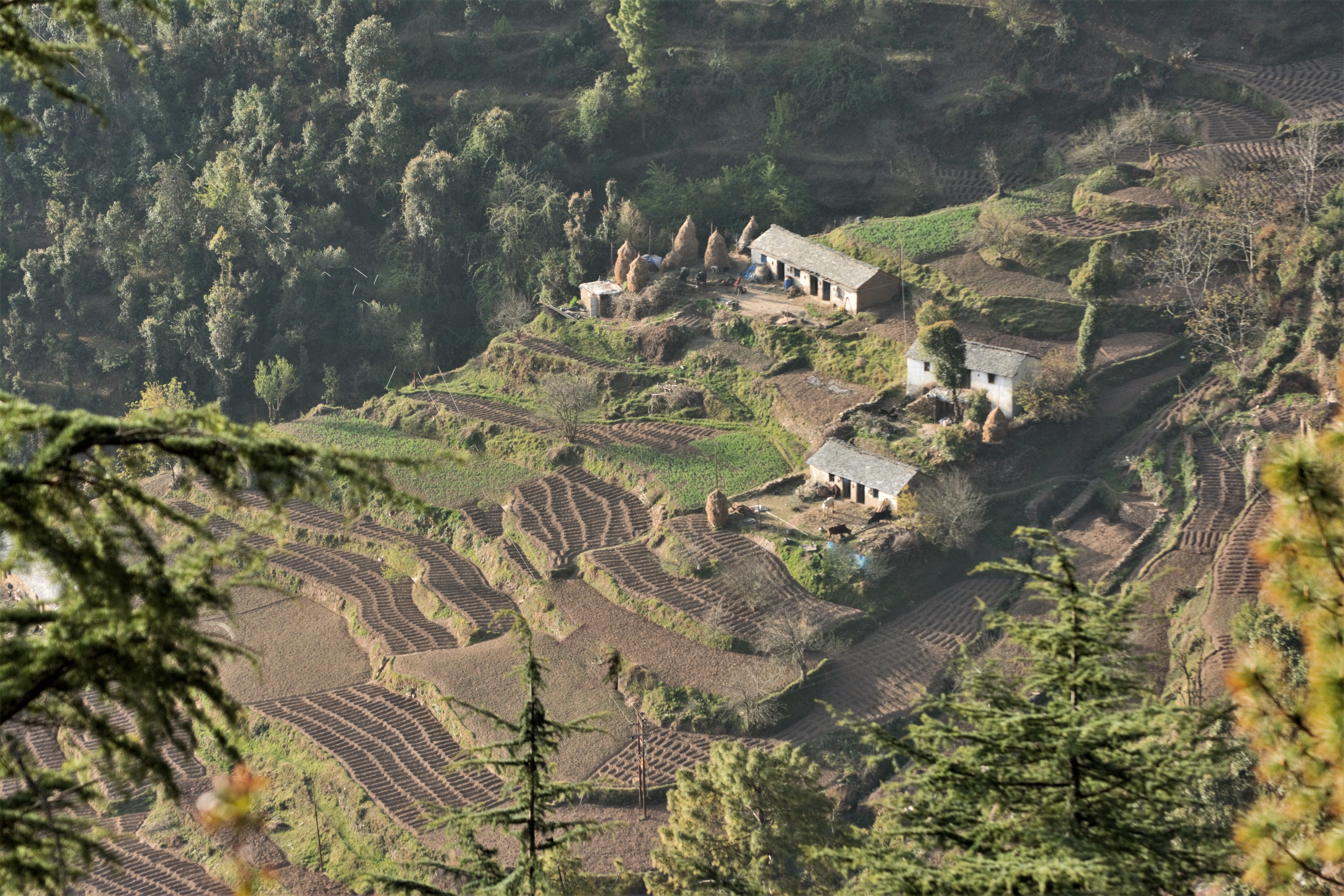
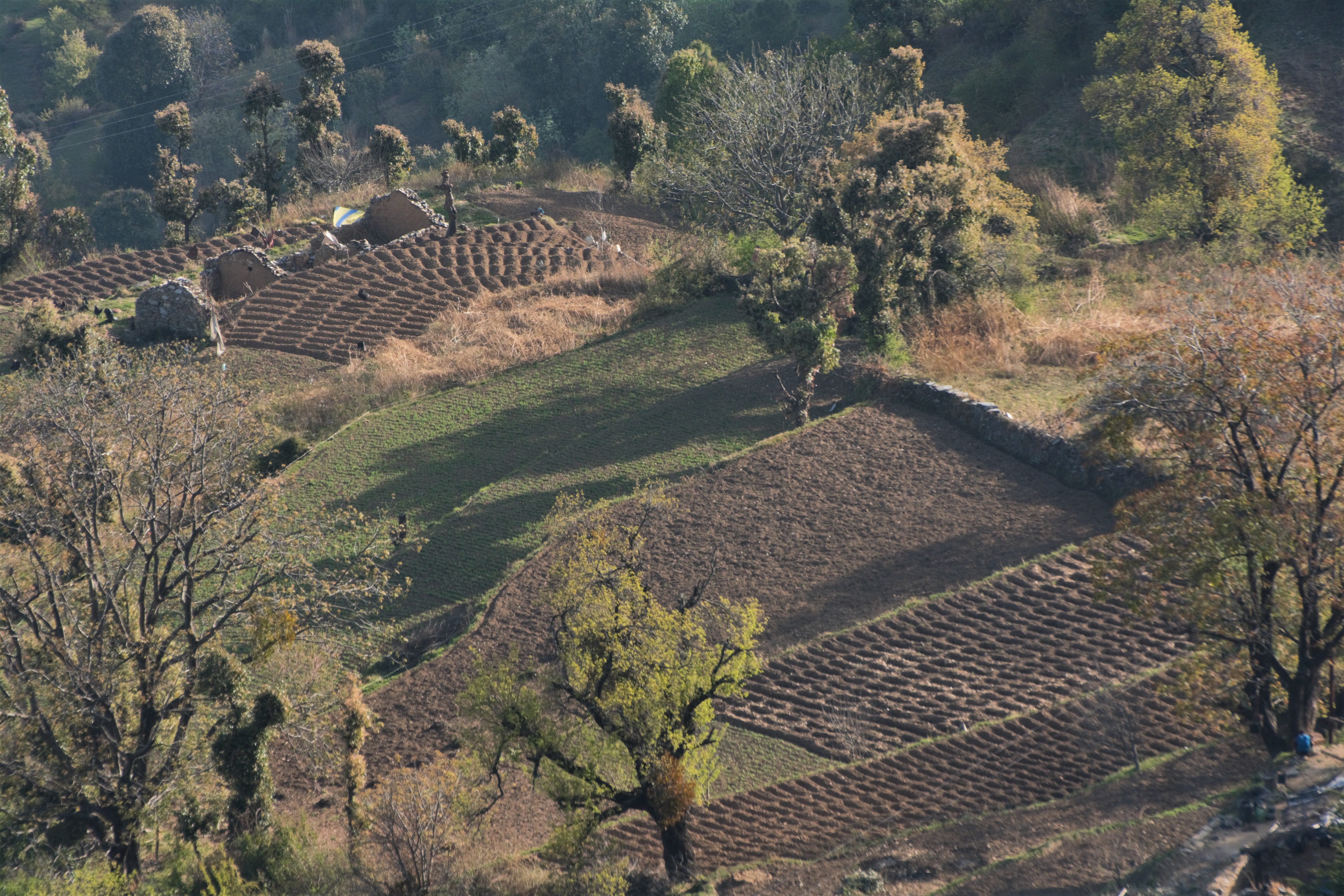
The Potato Fields of Kaudia
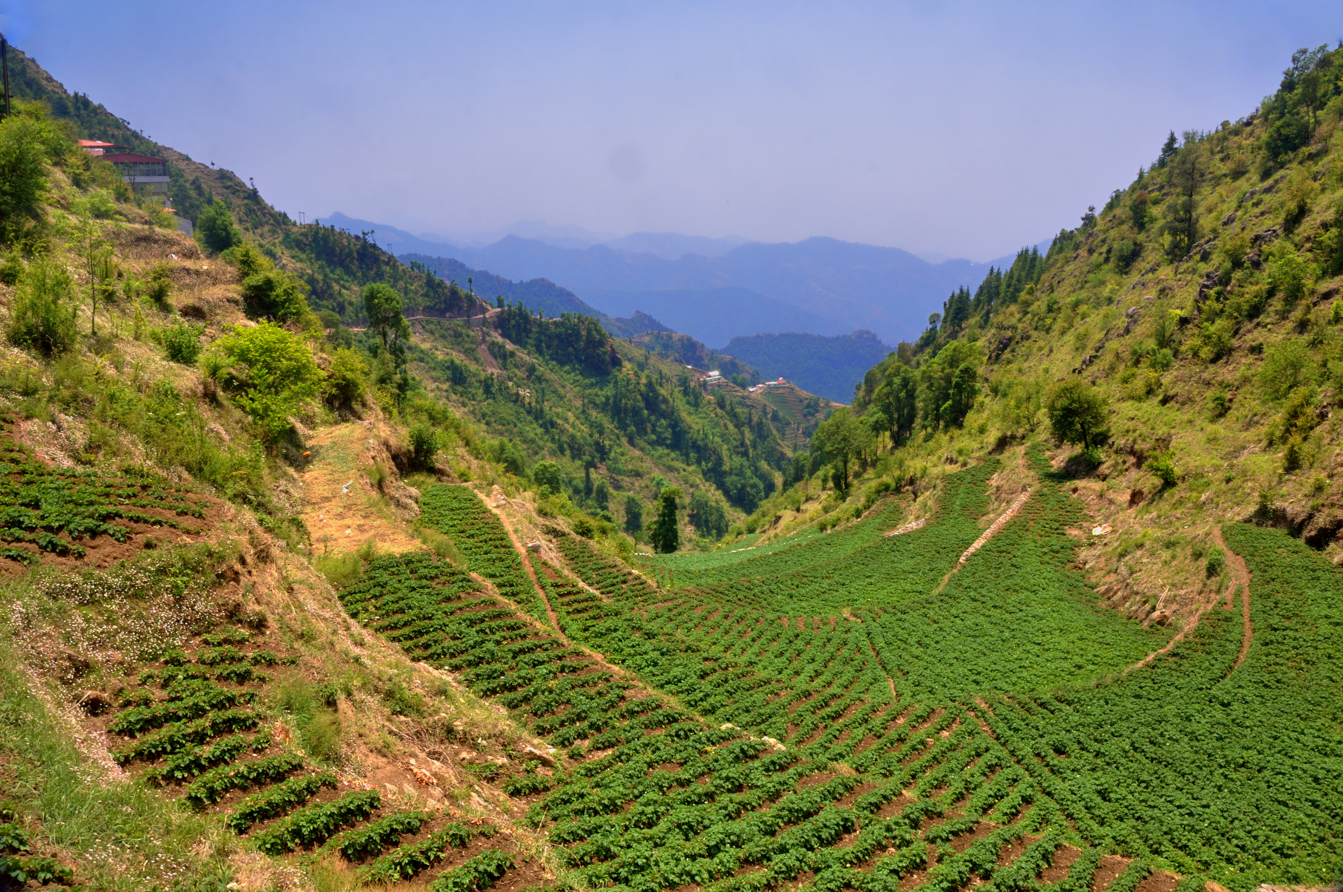
Potato plantation
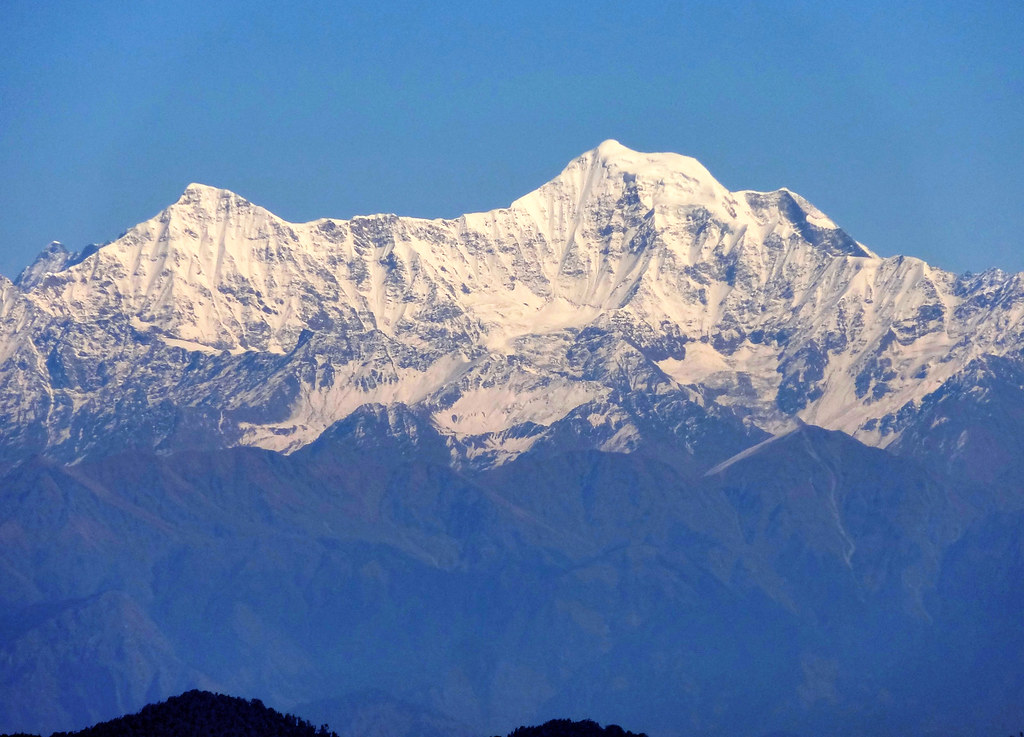
Monkeytail mountain (Bandarpoonch).
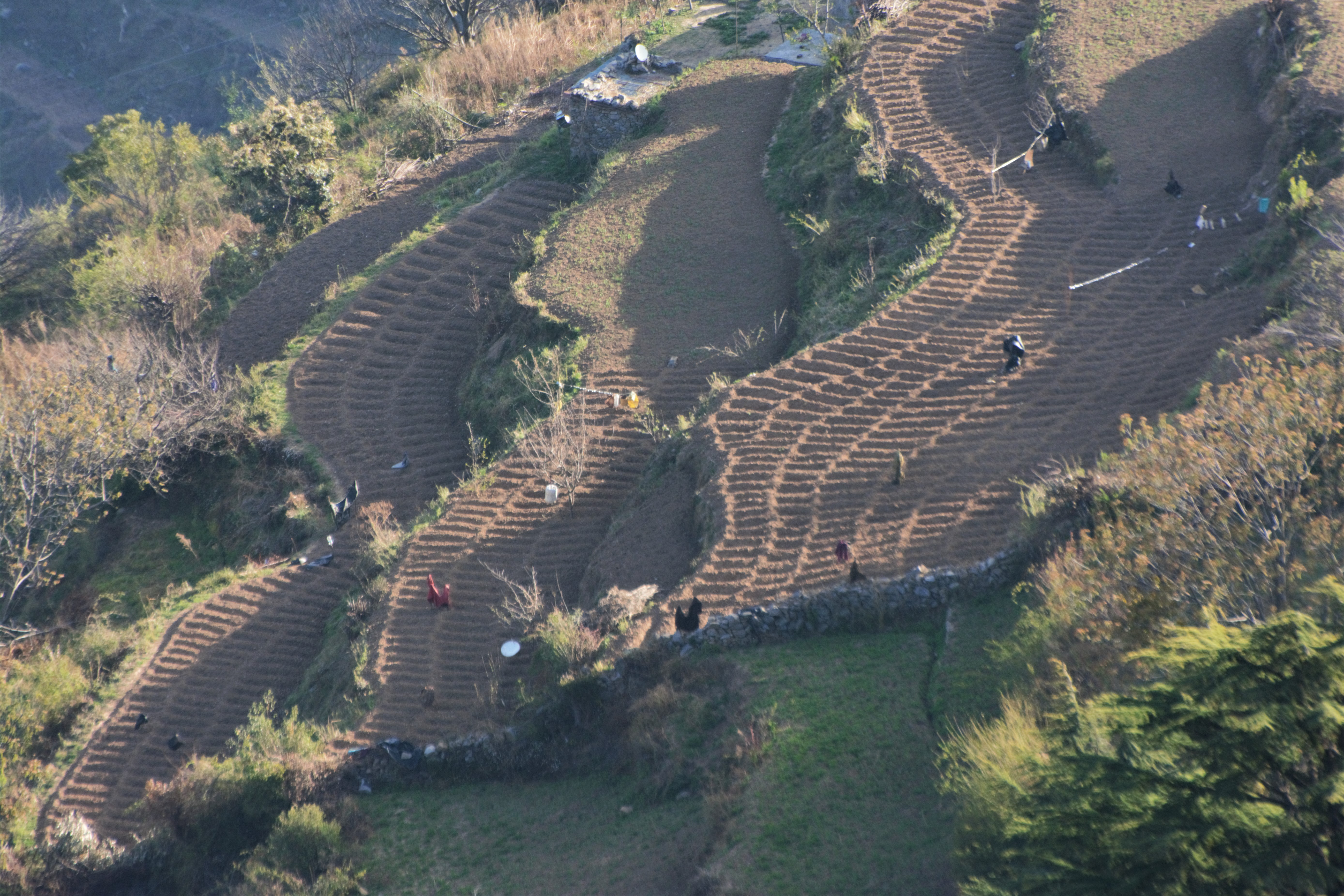
Potato Fields of Kaudia Range
Potato Fields of Kaudia Range
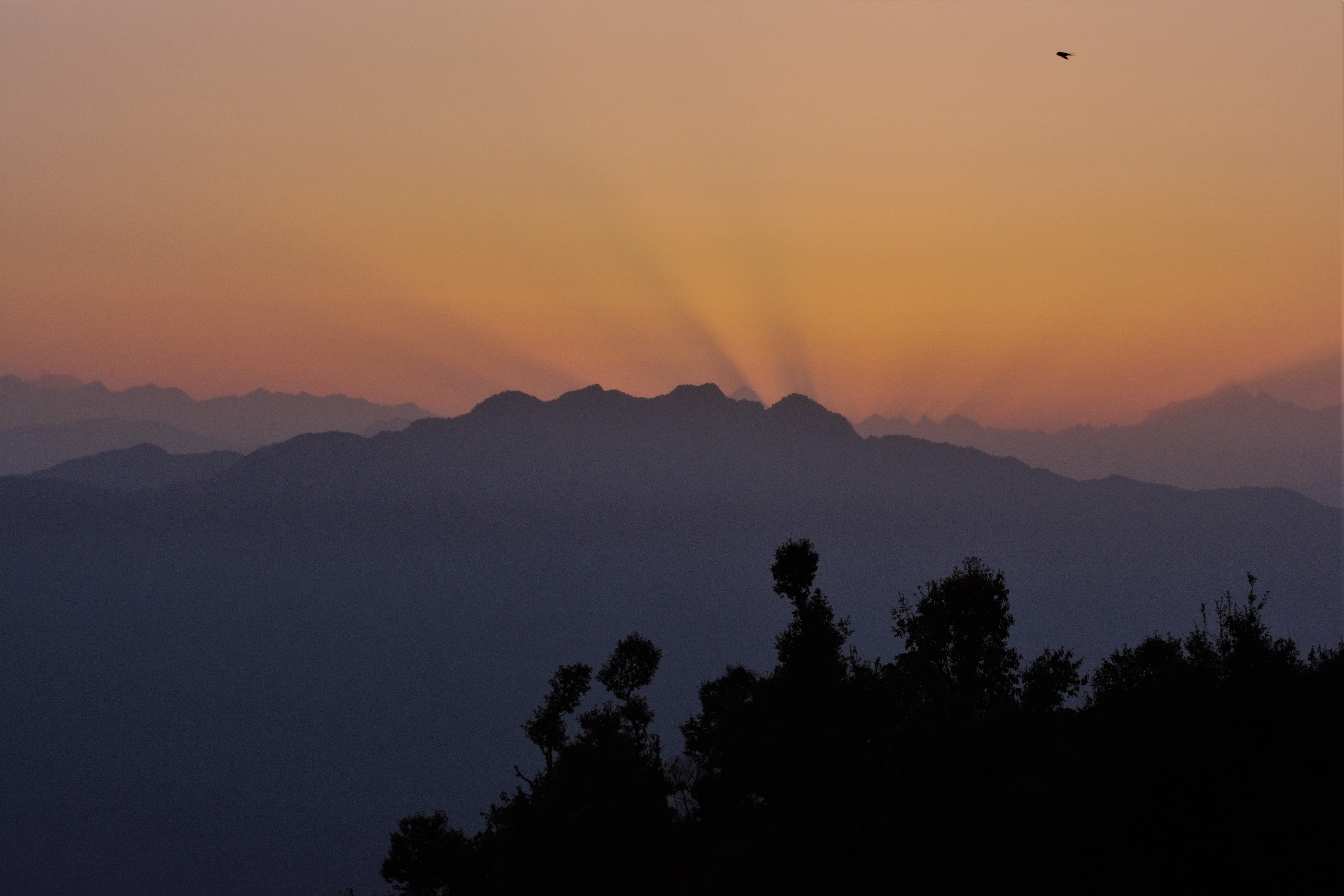
Sunrise over Kaudia Range
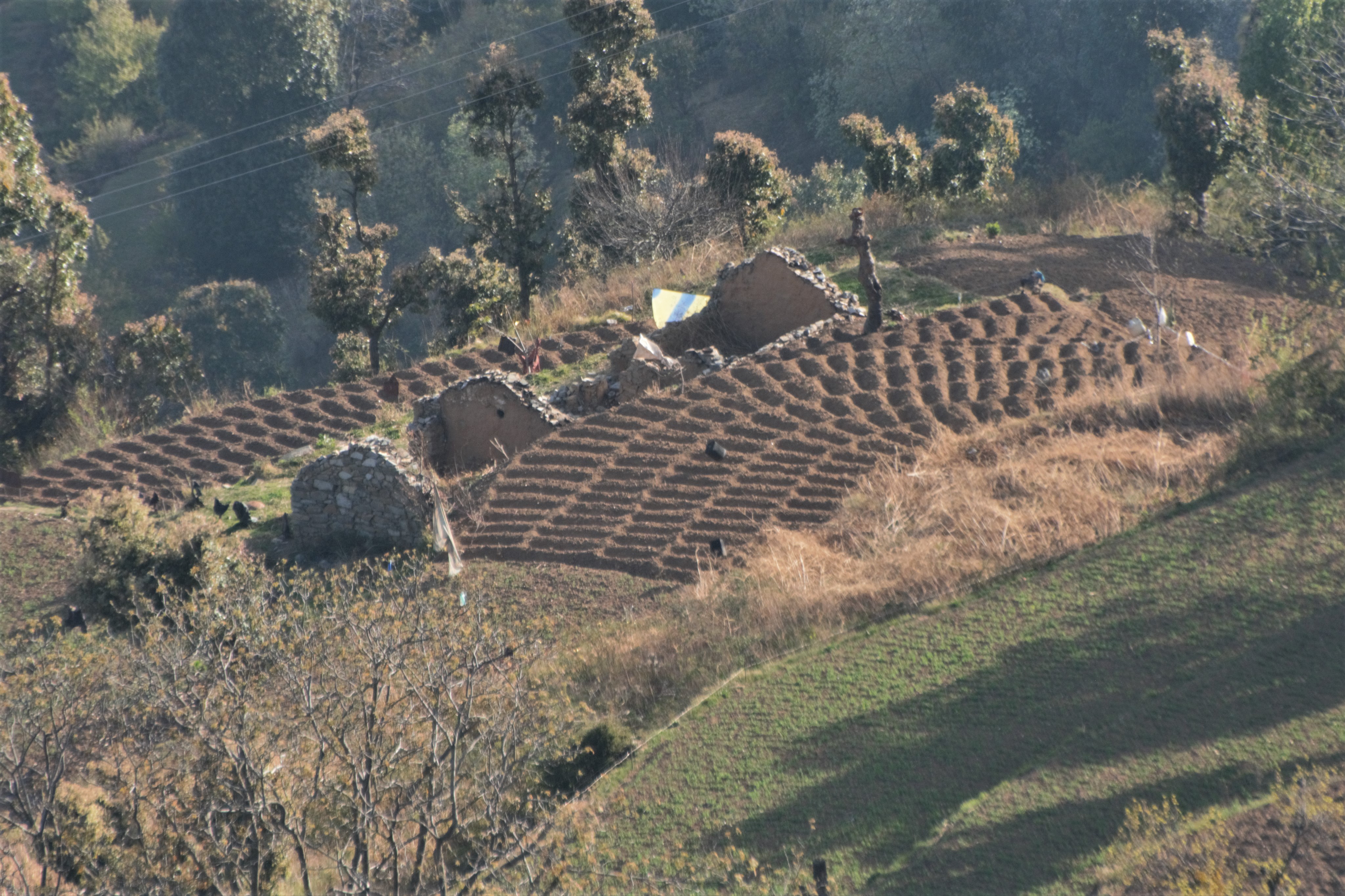
Potato Fields of Kaudia Range
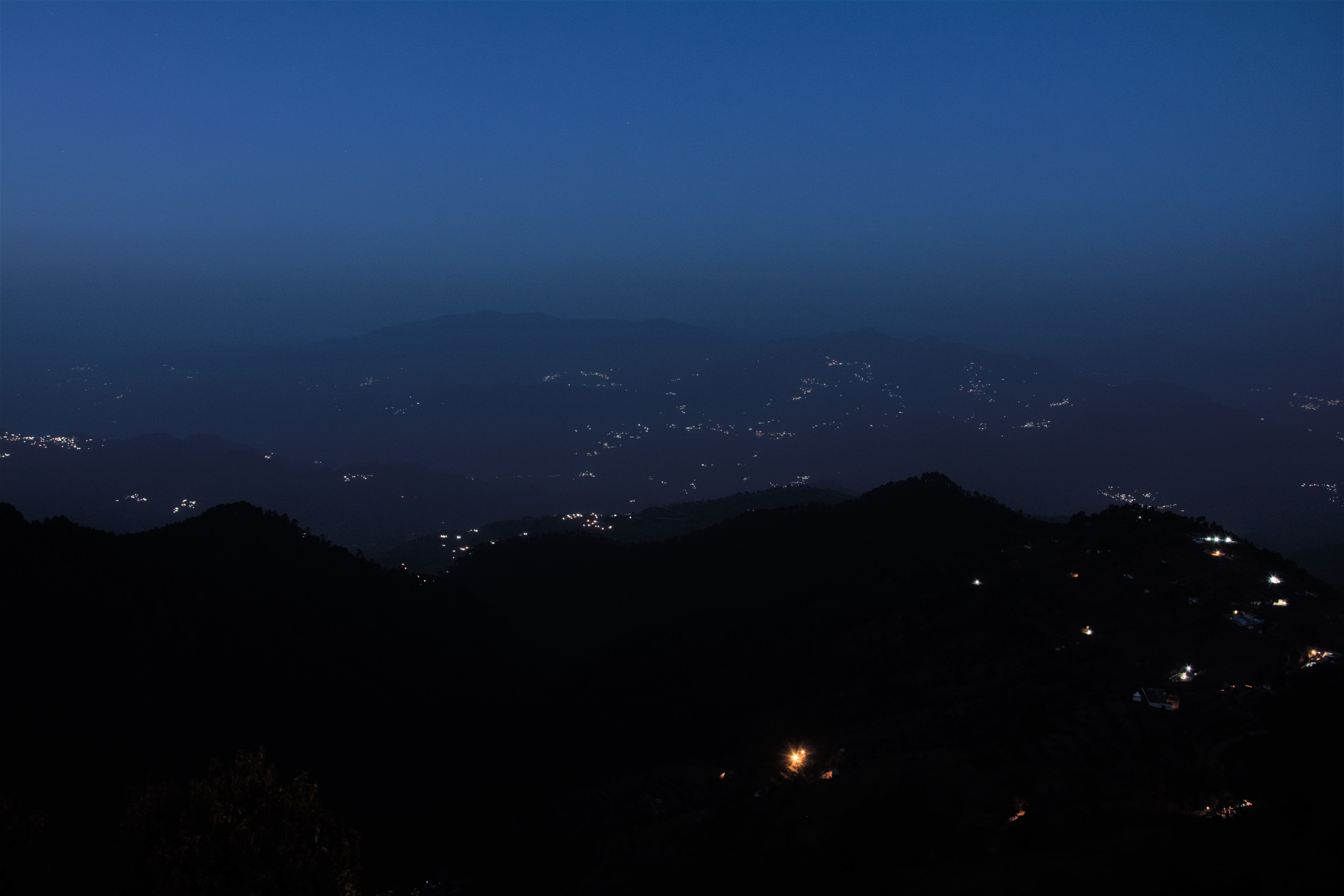
Evening Lights of the Chamba Valley
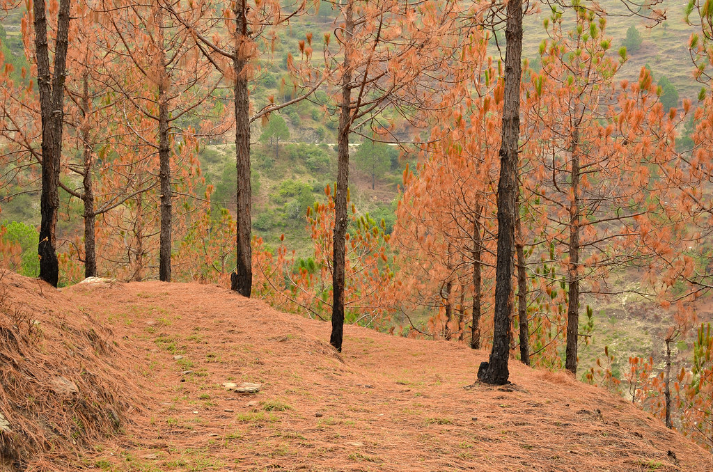
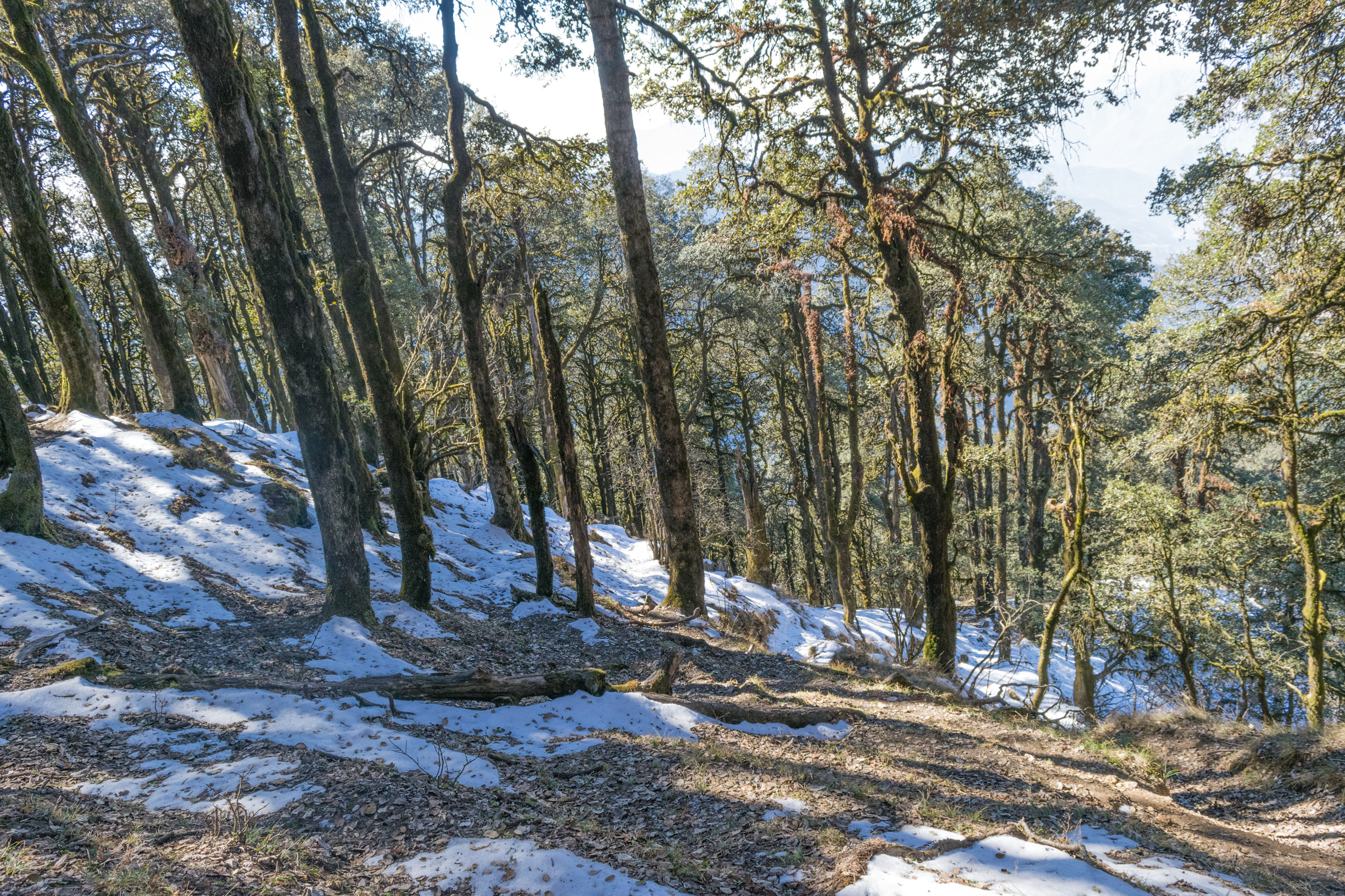
Pine Forest in Tehri Garhwal
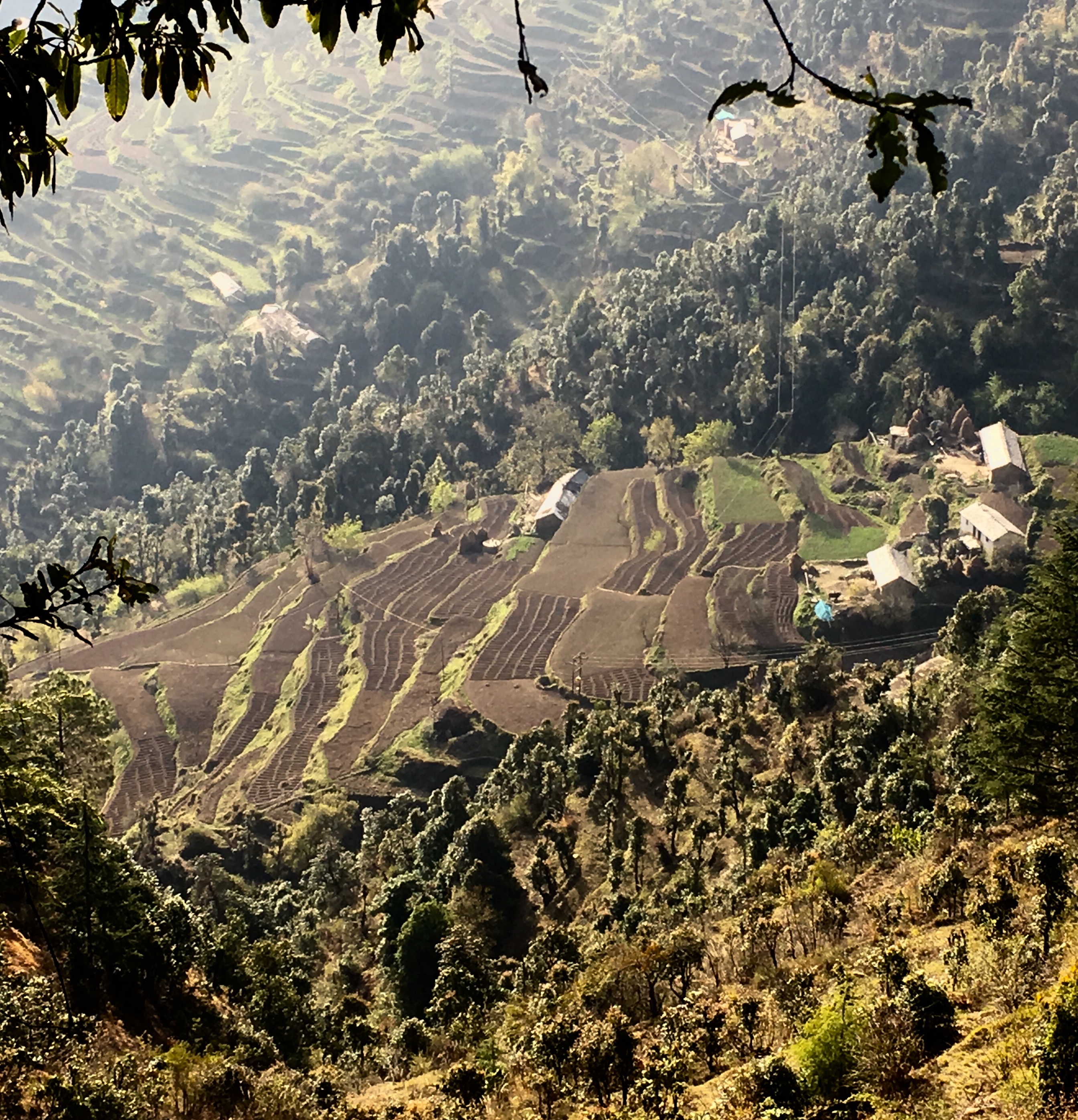
The potato fields of Kaudia
Sleeping Lady

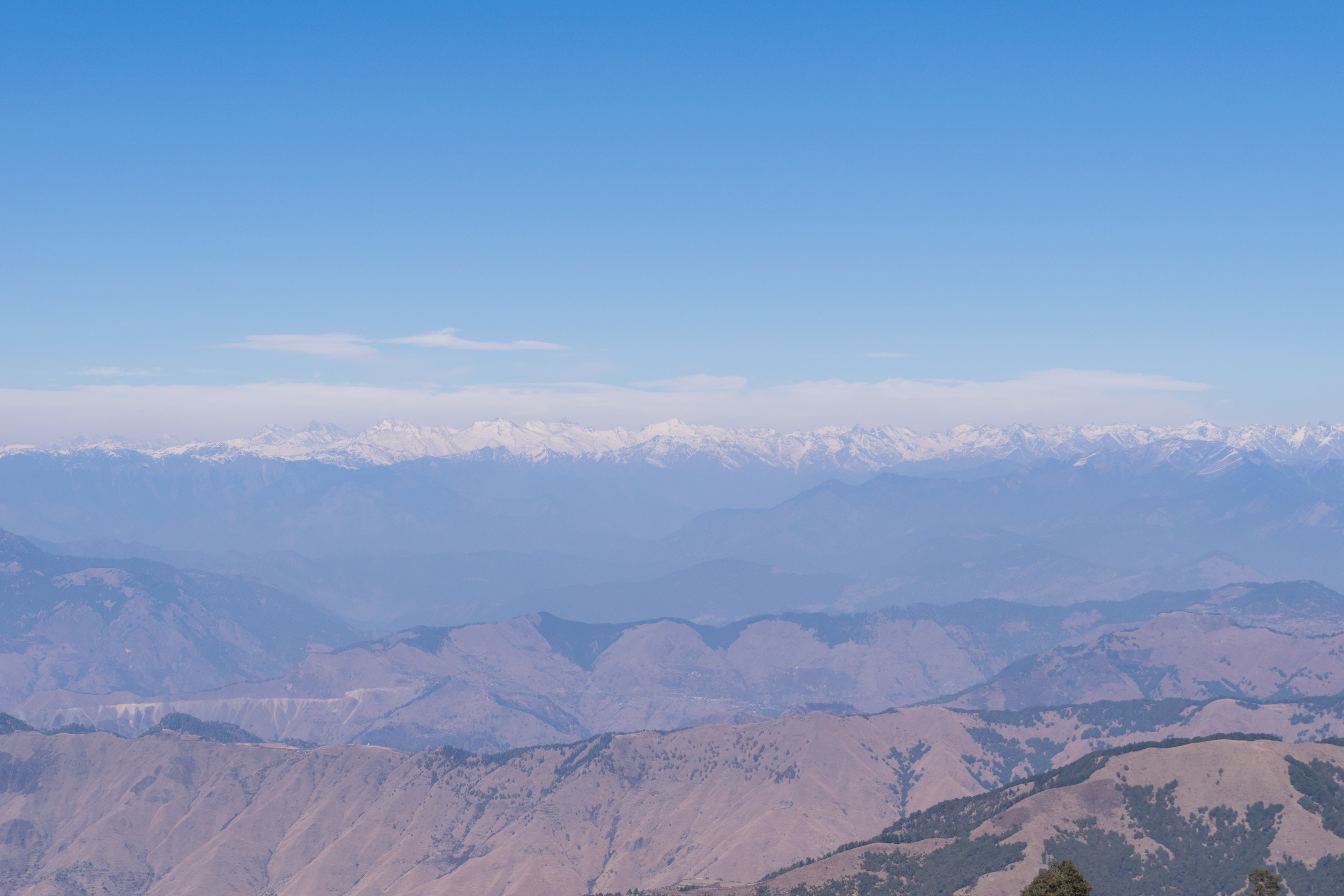
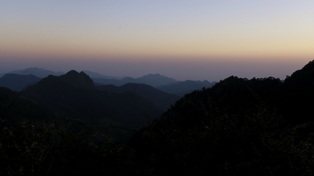
Clear blue skies and Himalayas
Lower Himalayas from the Nag Tibba summit
Awesome Shot 55
Sunrise over Kaudia Range
Nag Tibba jhandi
The trail to the summit
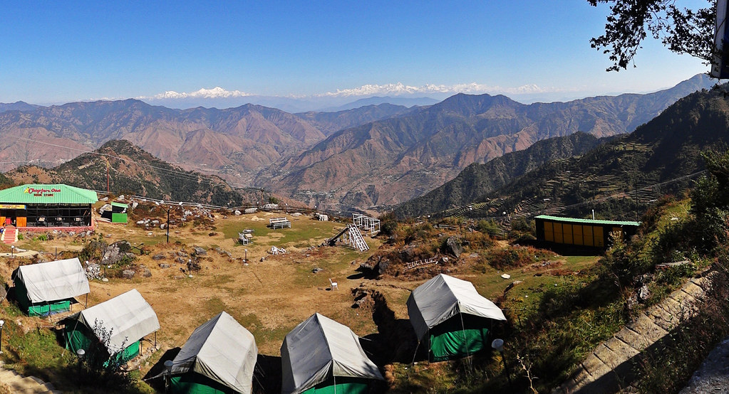
Overlooking the Kaudia Range and Chamba Valley
Camping at Booraskhanda.
Topographic Map of Laluri, Uttarakhand, India
Find elevation by address:

Places near Laluri, Uttarakhand, India:
Kanatal
Surkanda Devi Temple
Kanatal Inn
Kaudia Range
Dhanolti
Kandikhal
Mukhem
Dhanaulti
Nakuri
Matli
Saklana Range
Uttarkashi
New Tehri
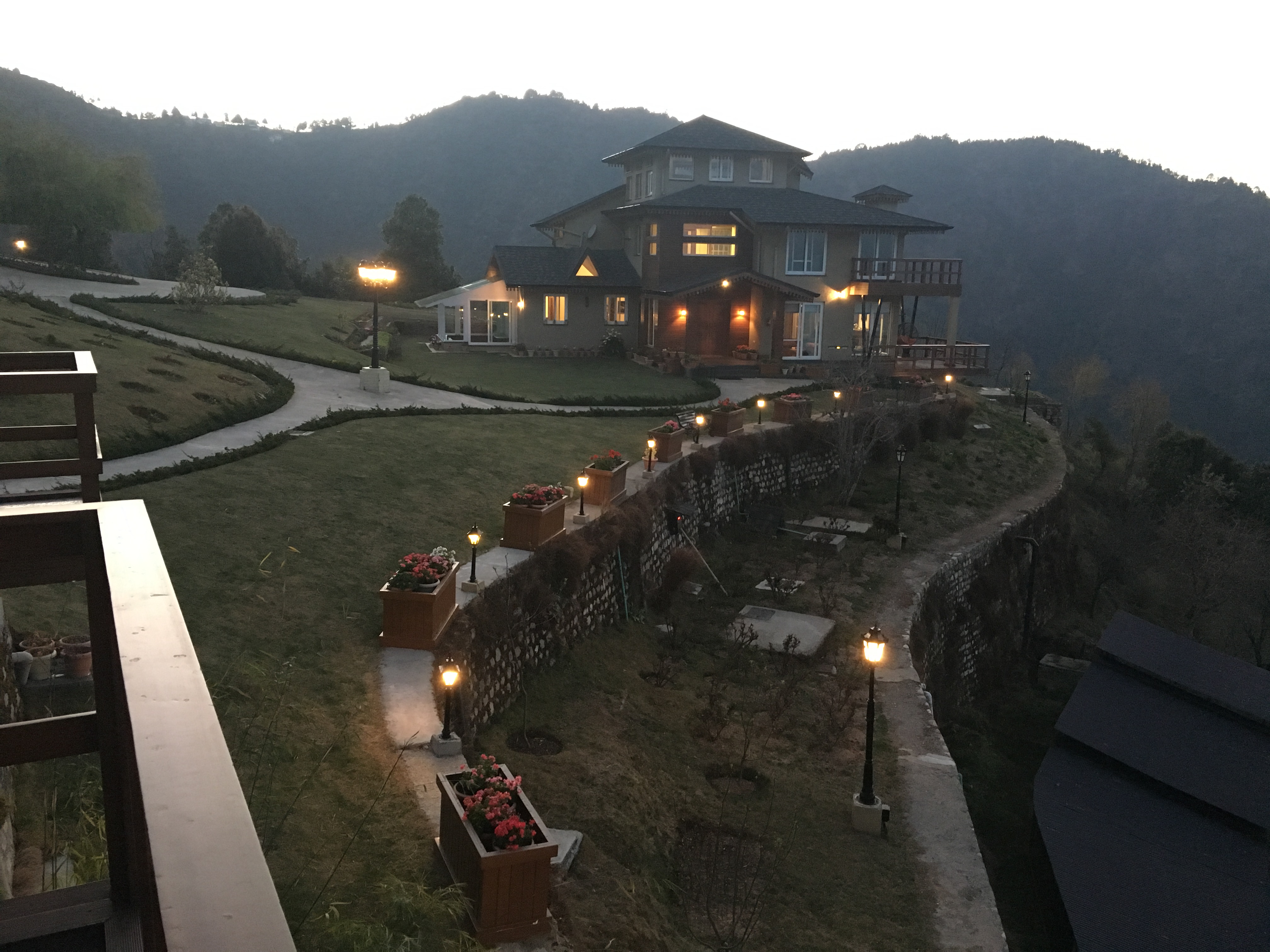
Classic Hill Top Resort - Chamba (uttarakhand)
Chamba
Landour
Badshithaul
Lal Tibba View Point
Naya Mohalla
Department Of Education, Srt Campus, Badshahithaul
Recent Searches:
- Elevation of East W.T. Harris Boulevard, E W.T. Harris Blvd, Charlotte, NC, USA
- Elevation of West Sugar Creek, Charlotte, NC, USA
- Elevation of Wayland, NY, USA
- Elevation of Steadfast Ct, Daphne, AL, USA
- Elevation of Lagasgasan, X+CQH, Tiaong, Quezon, Philippines
- Elevation of Rojo Ct, Atascadero, CA, USA
- Elevation of Flagstaff Drive, Flagstaff Dr, North Carolina, USA
- Elevation of Avery Ln, Lakeland, FL, USA
- Elevation of Woolwine, VA, USA
- Elevation of Lumagwas Diversified Farmers Multi-Purpose Cooperative, Lumagwas, Adtuyon, RV32+MH7, Pangantucan, Bukidnon, Philippines