Elevation of The Body Shop Health and Wellness Studio, Sharp Springs Rd, Winchester, TN, USA
Location: United States > Tennessee > Franklin County > Winchester >
Longitude: -86.100119
Latitude: 35.2138525
Elevation: 296m / 971feet
Barometric Pressure: 98KPa
Elevation Map:
Satellite Map:
Related Photos:

The War Memorial Cross, Sewanee,Tennessee
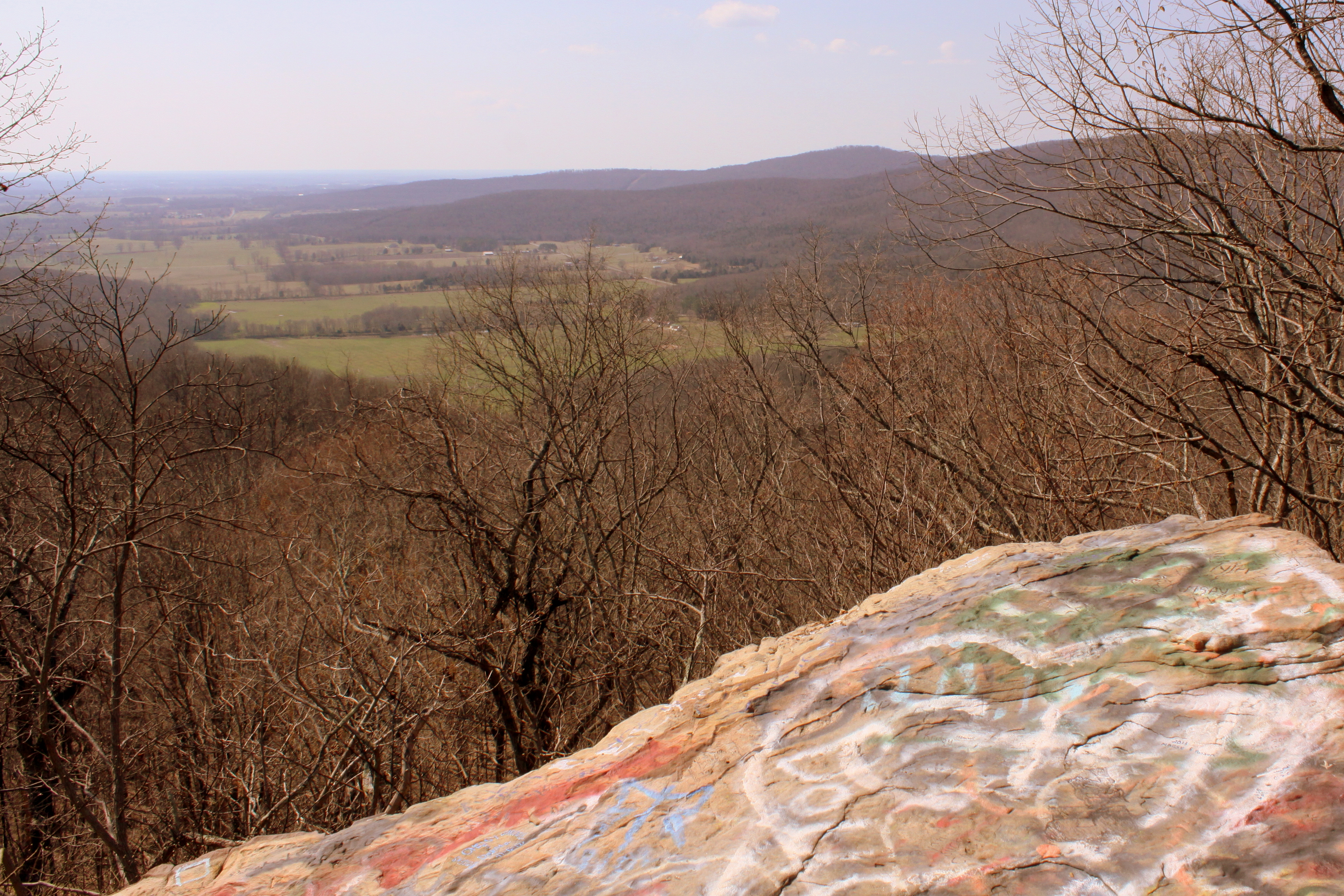
Big Rock & Scenic Overlook - Sewanee, TN

The Wheel Spins
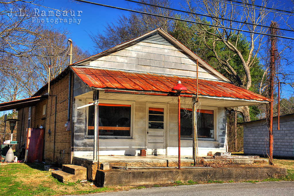
Roadside Service Station

Franklin County, TN Courthouse - Winchester, TN
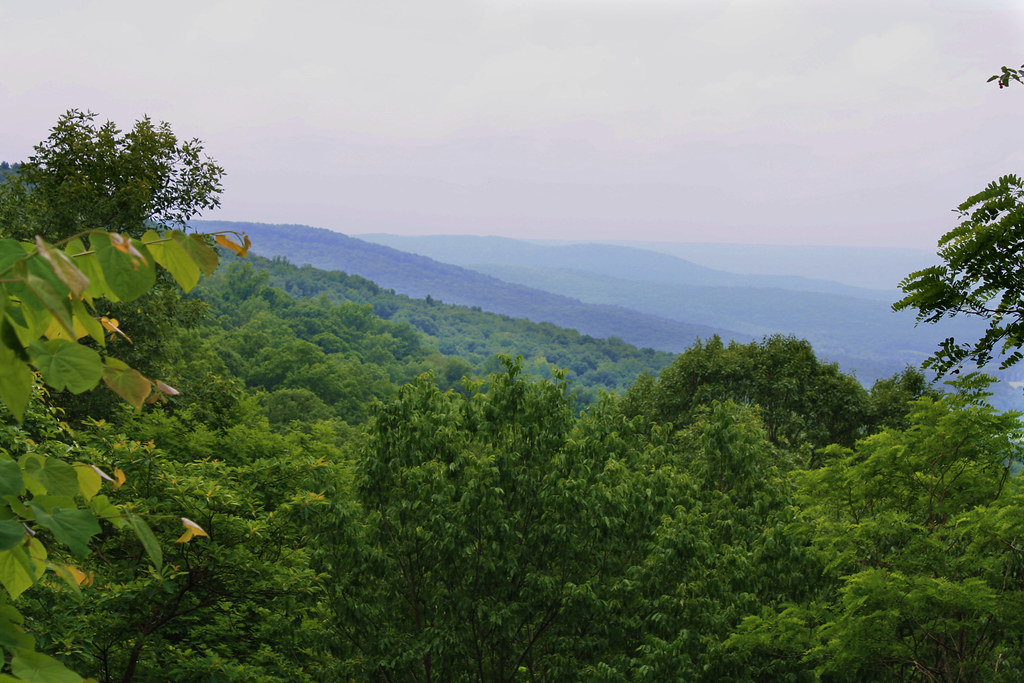
Cumberland Plateau
Sewanee Tennessee 062013

226/365: Fair Rides On A Saturday Night

Ferris Wheel Cars: Fair's Final Night
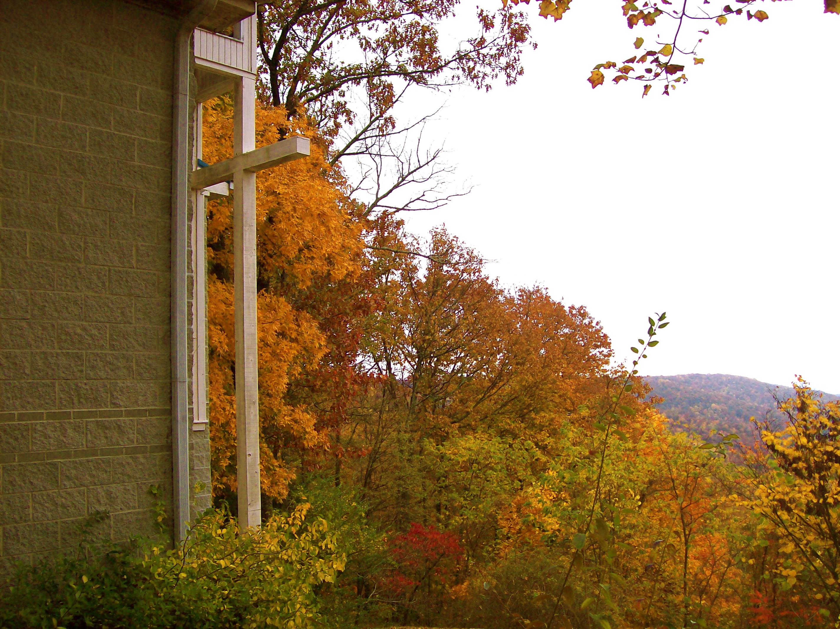
St. Mary's Convent
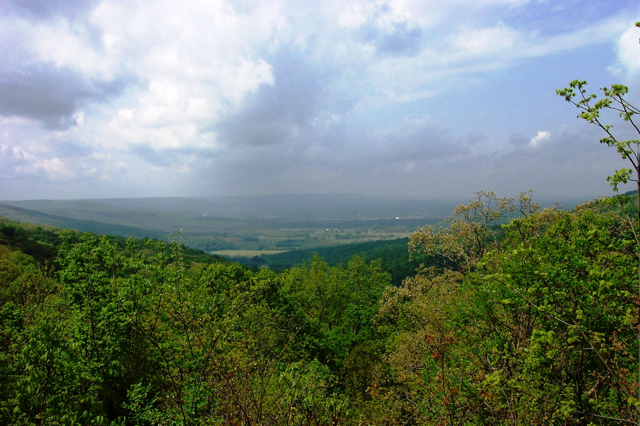
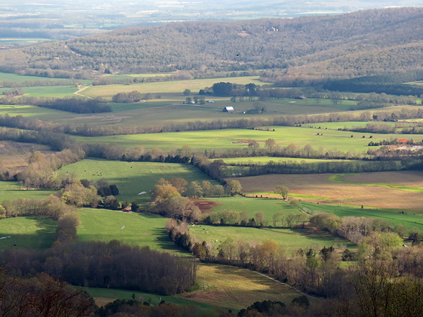
View from Morgan's Steep
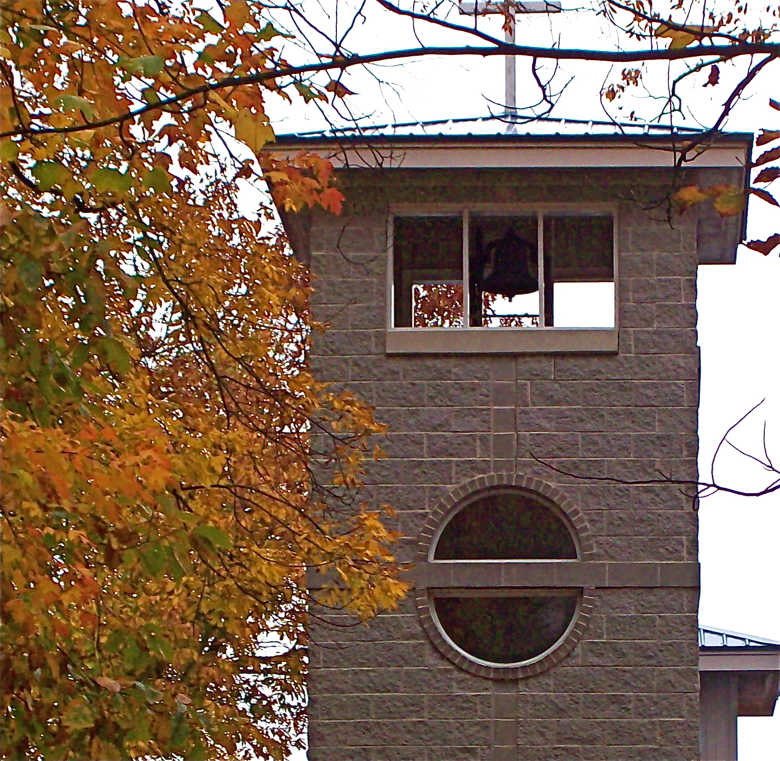
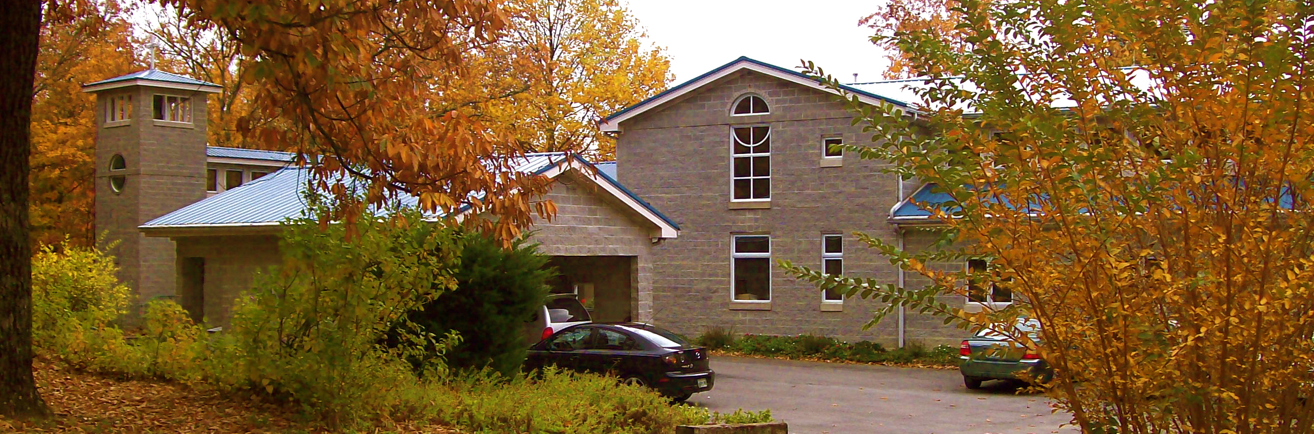
Bell tower, St. Mary's Convent, Sewanee
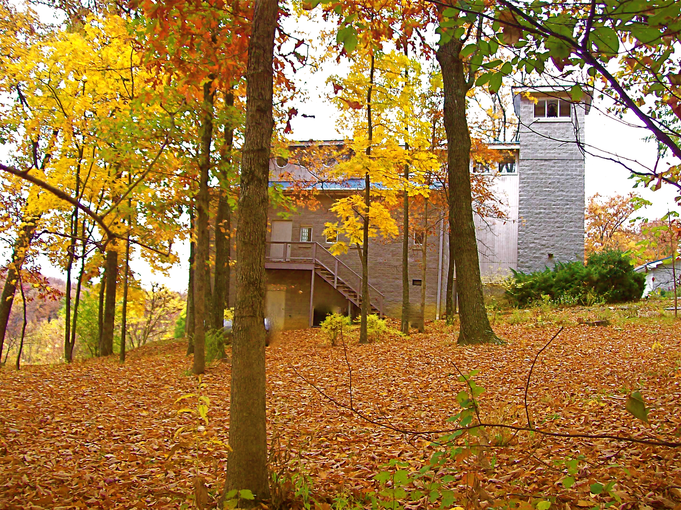
St. Mary's Convent
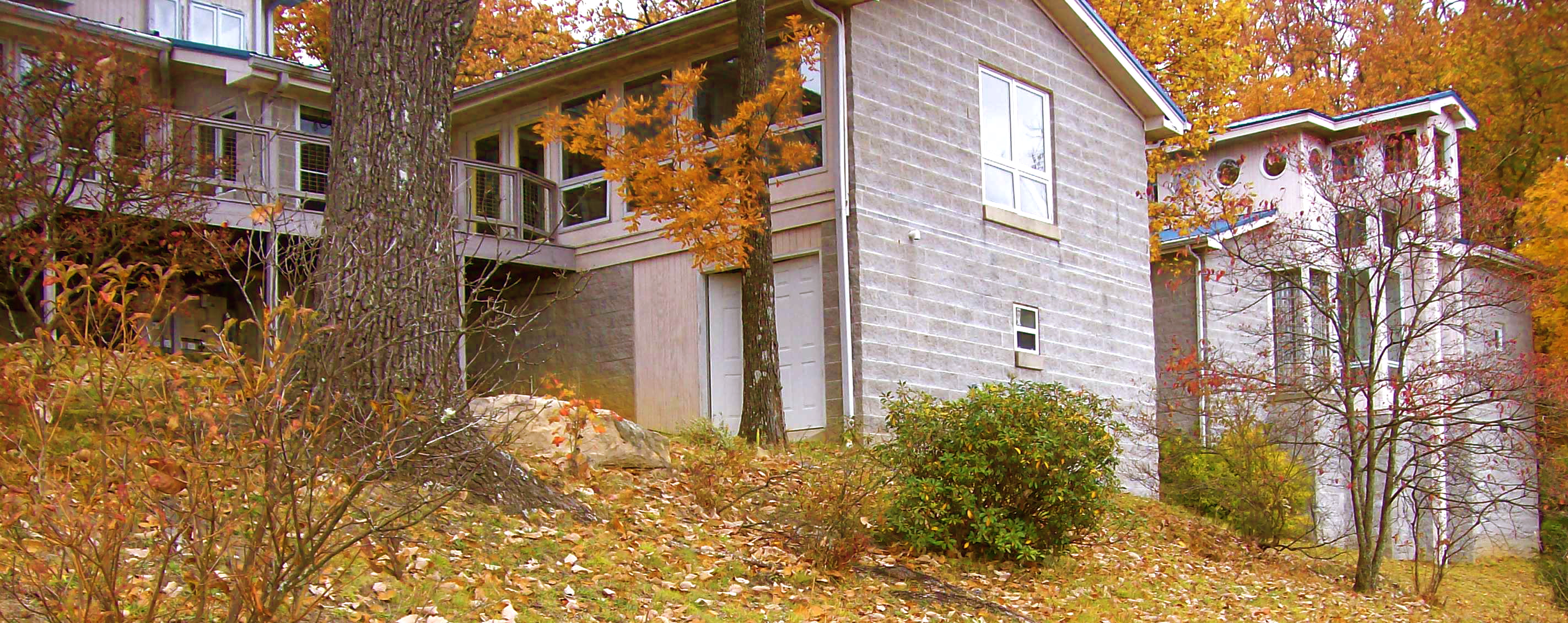
St. Mary's Convent
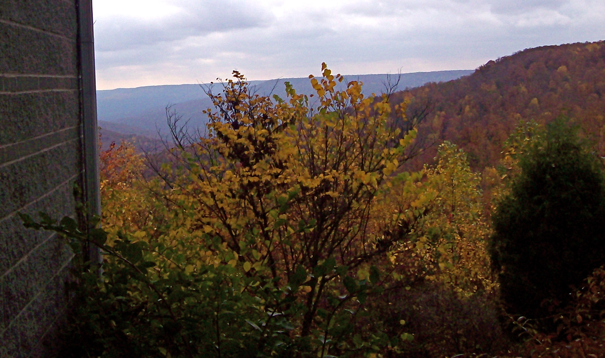
View from St. Mary's Convent
St. Mary's Convent
Morgan's Leap
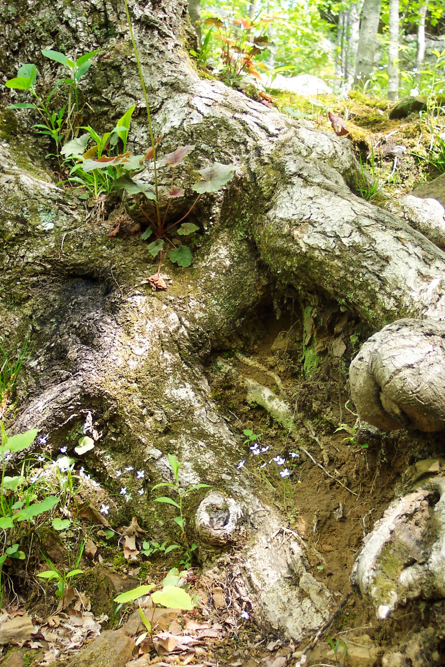
Gnarled root
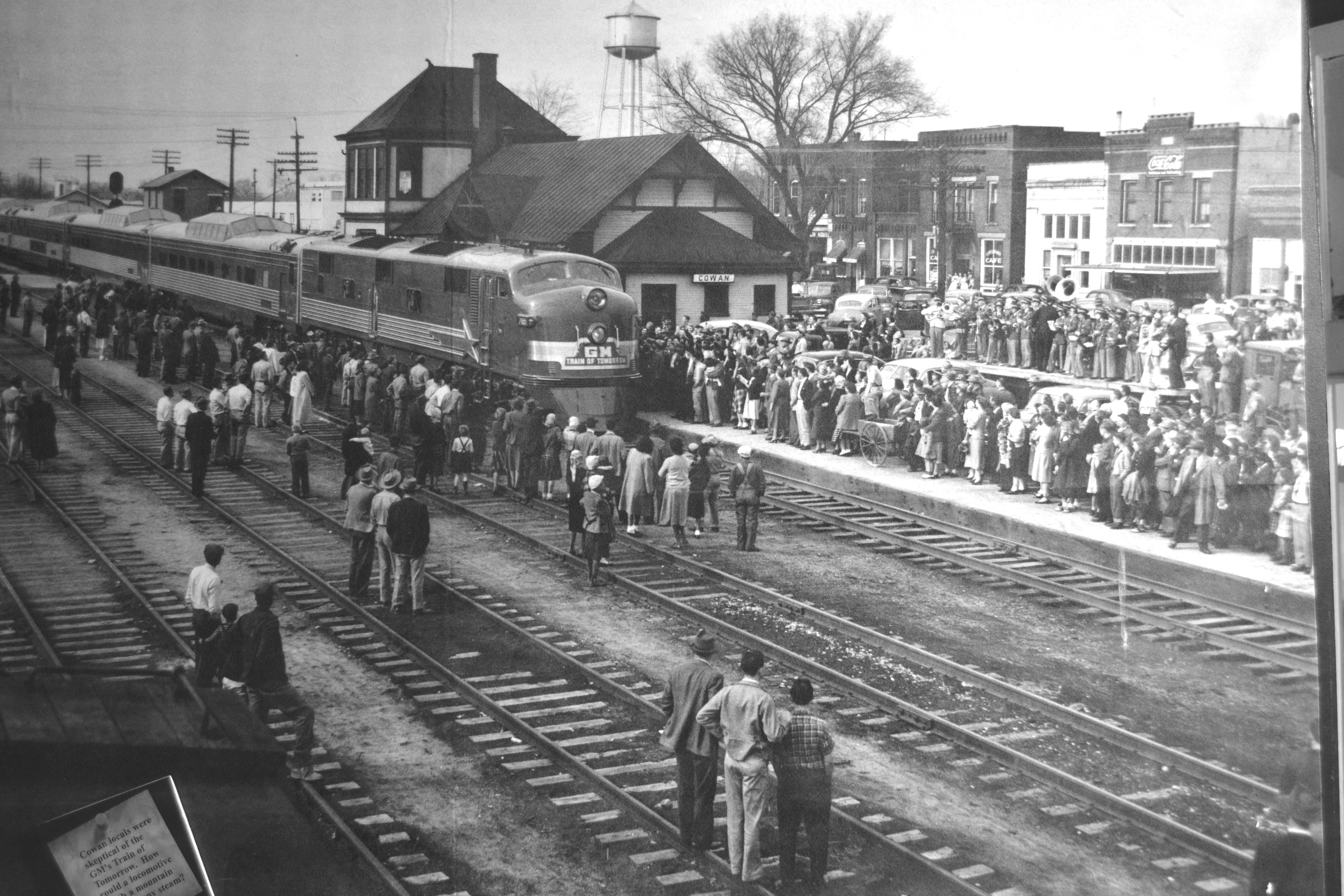
'Train of Tomorrow' at Cowan TN

Railroad Dog Sawyer
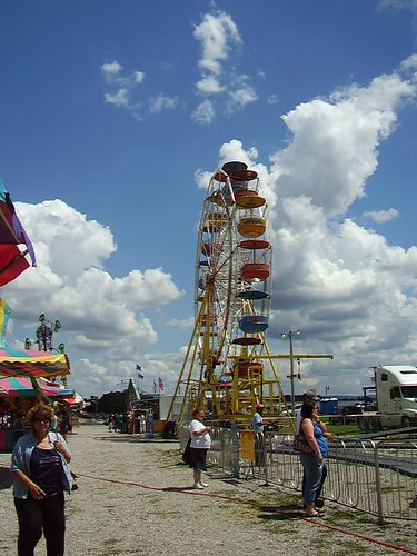
224/365: Midway by Day
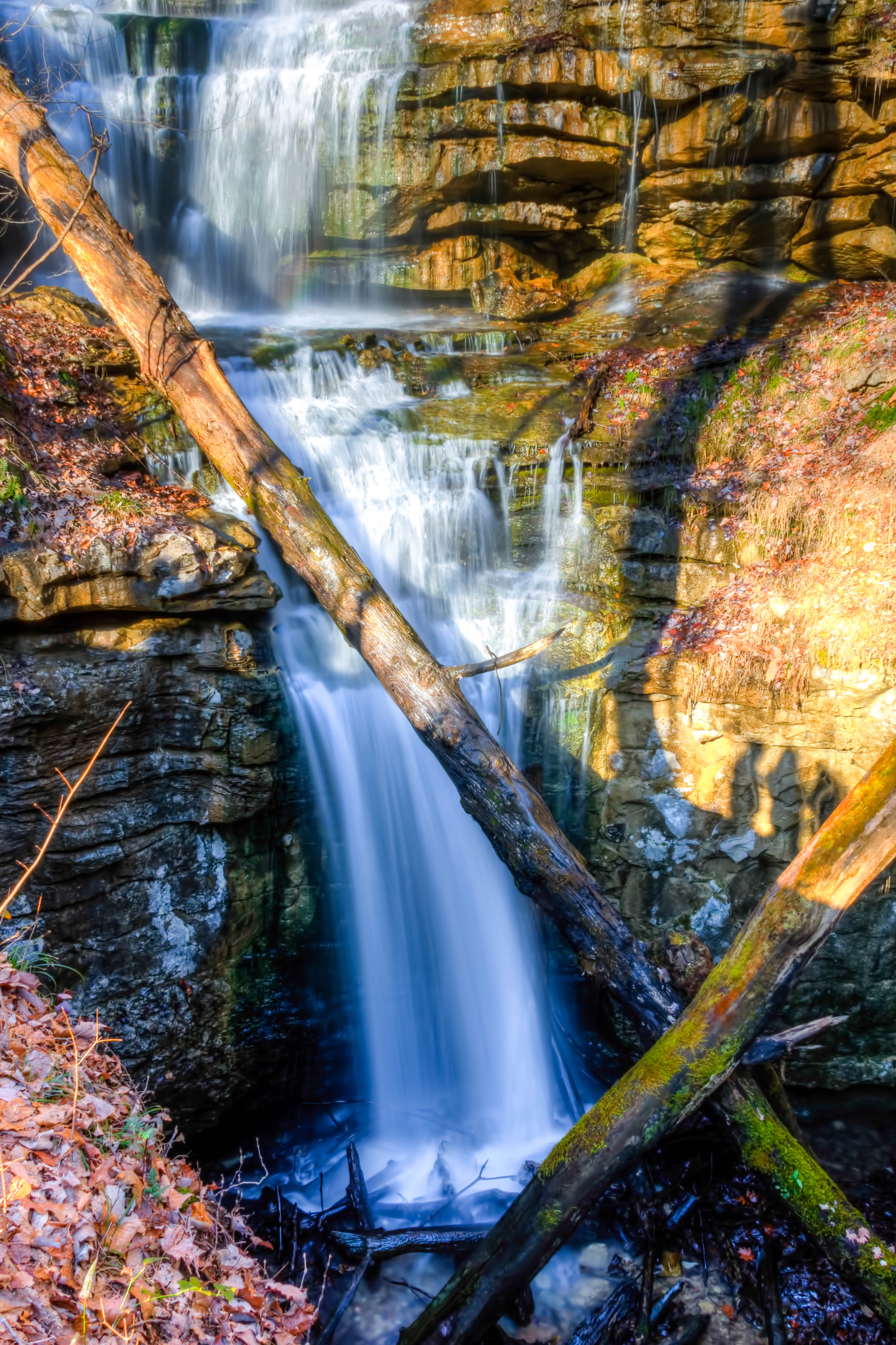
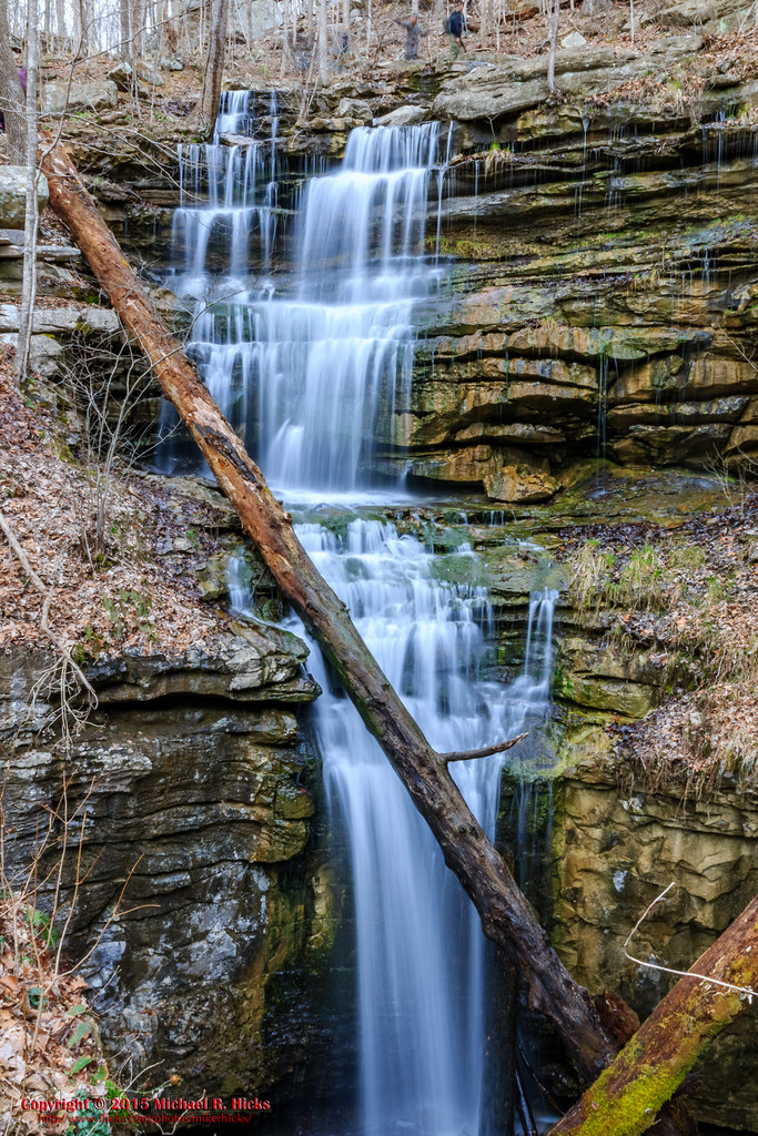
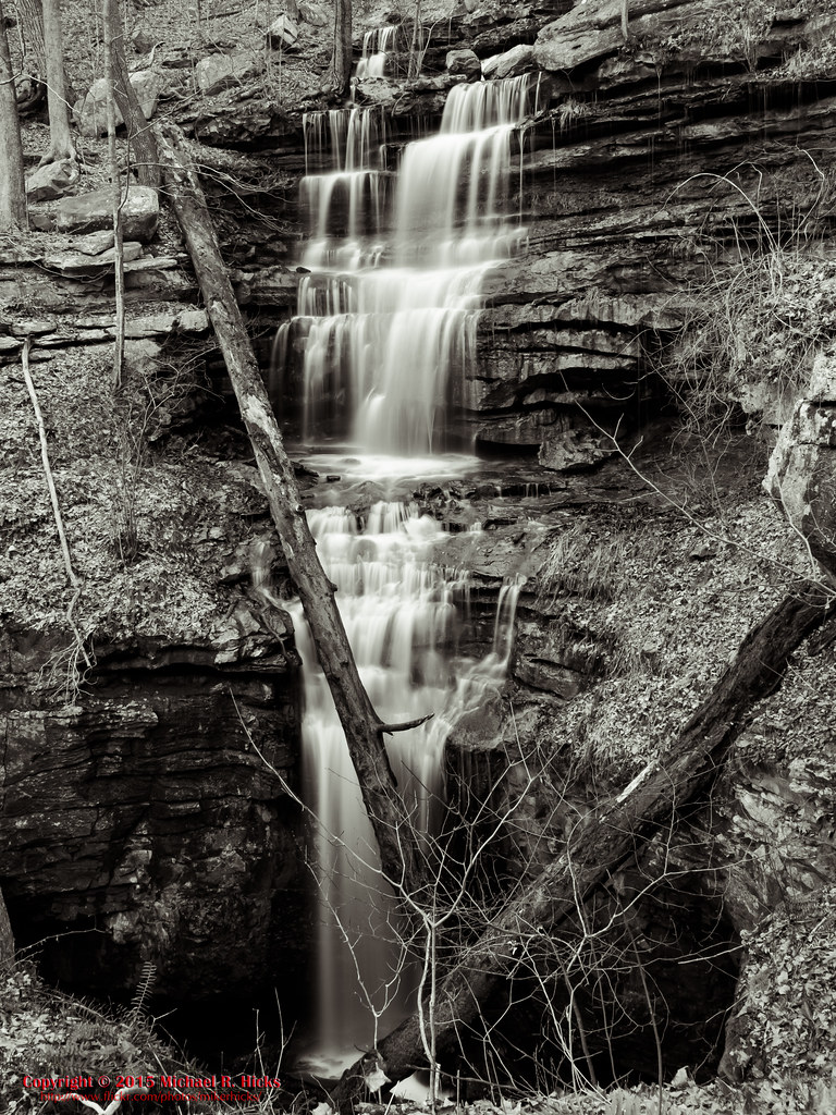
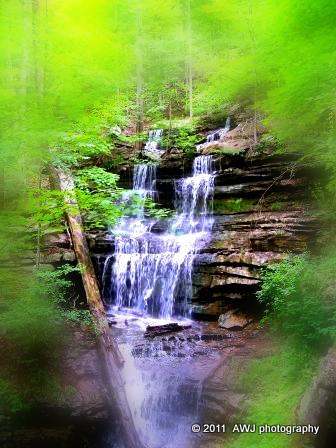
Sewanee Southern Section Perimeter Trail - Bridal Veil Falls
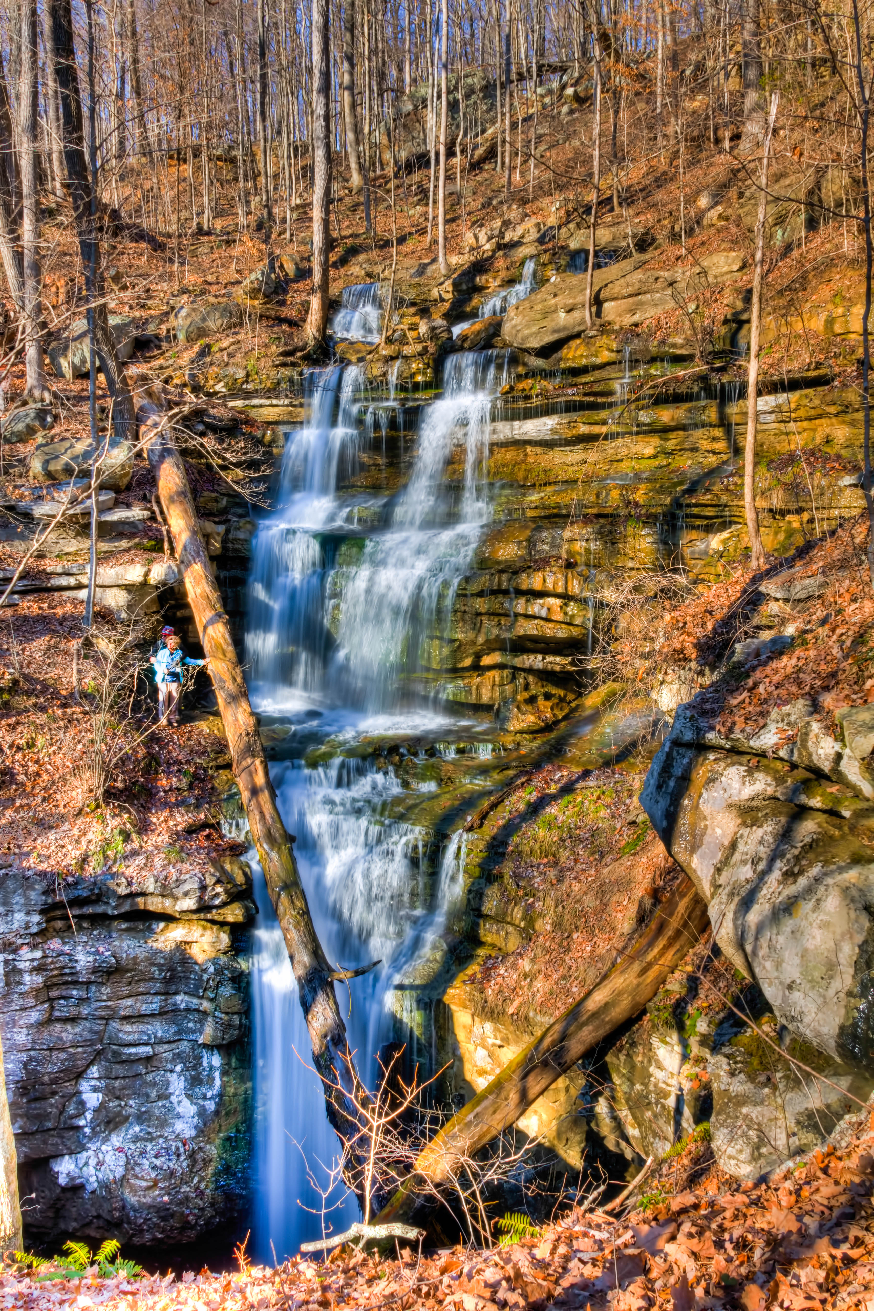
Sewanee Southern Section Perimeter Trail - Bridal Veil Falls
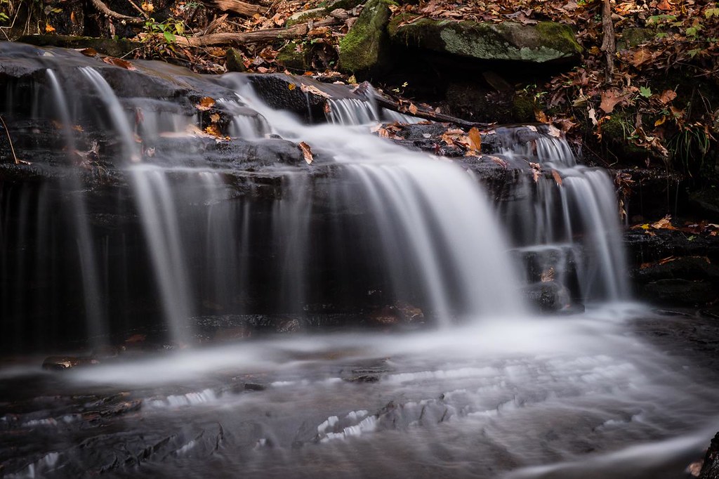
Wiggins Creek Waterfall

Sewanee Southern Section Perimeter Trail - Bridal Veil Falls

Sewanee Southern Section Perimeter Trail - Bridal Veil Falls
Sewanee Southern Section Perimeter Trail - Bridal Veil Falls
Sewanee Southern Section Perimeter Trail - Bridal Veil Falls
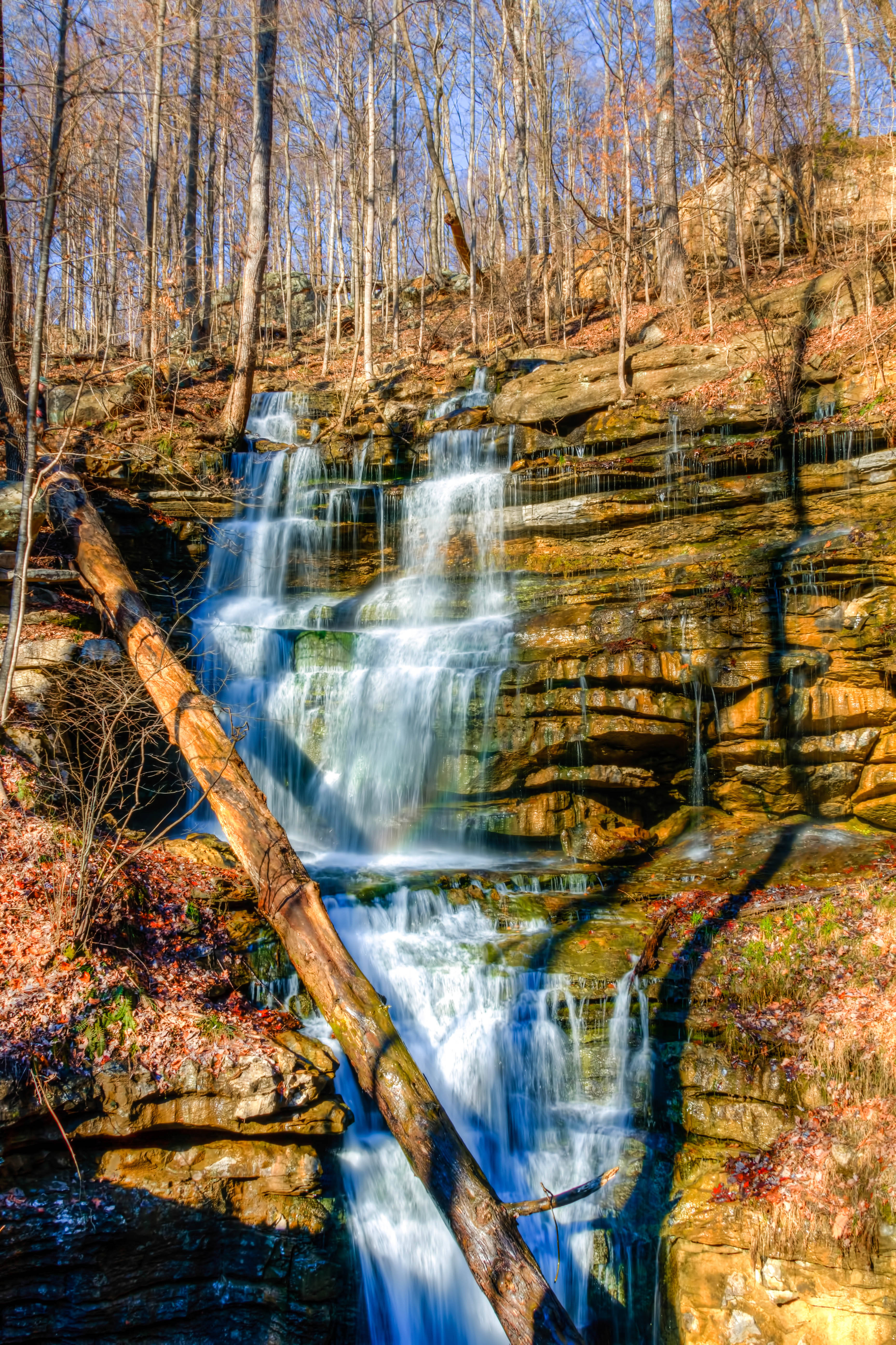
Sewanee Southern Section Perimeter Trail - Bridal Veil Falls
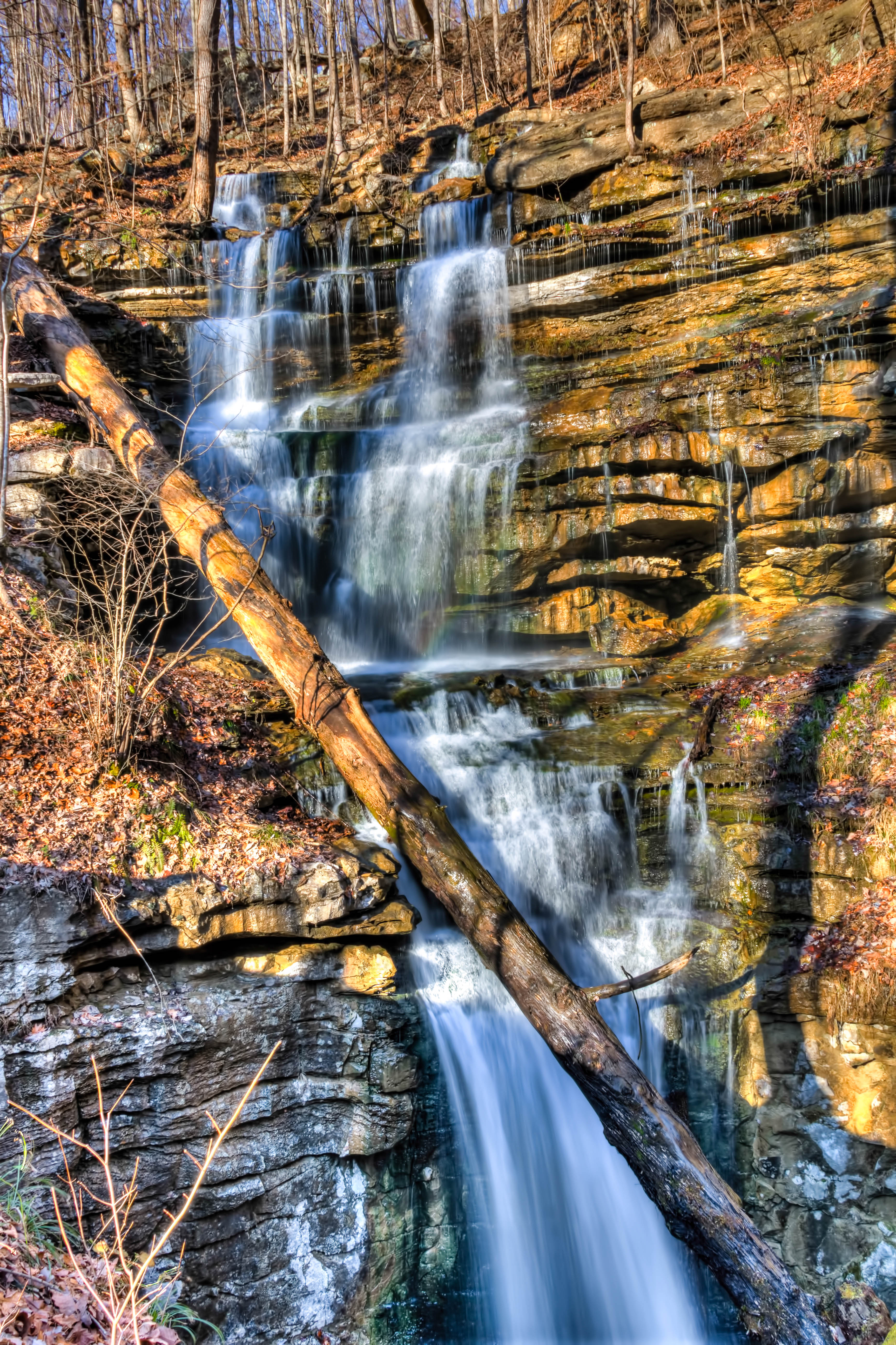
Sewanee Southern Section Perimeter Trail - Bridal Veil Falls

Sewanee Southern Section Perimeter Trail - Bridal Veil Falls
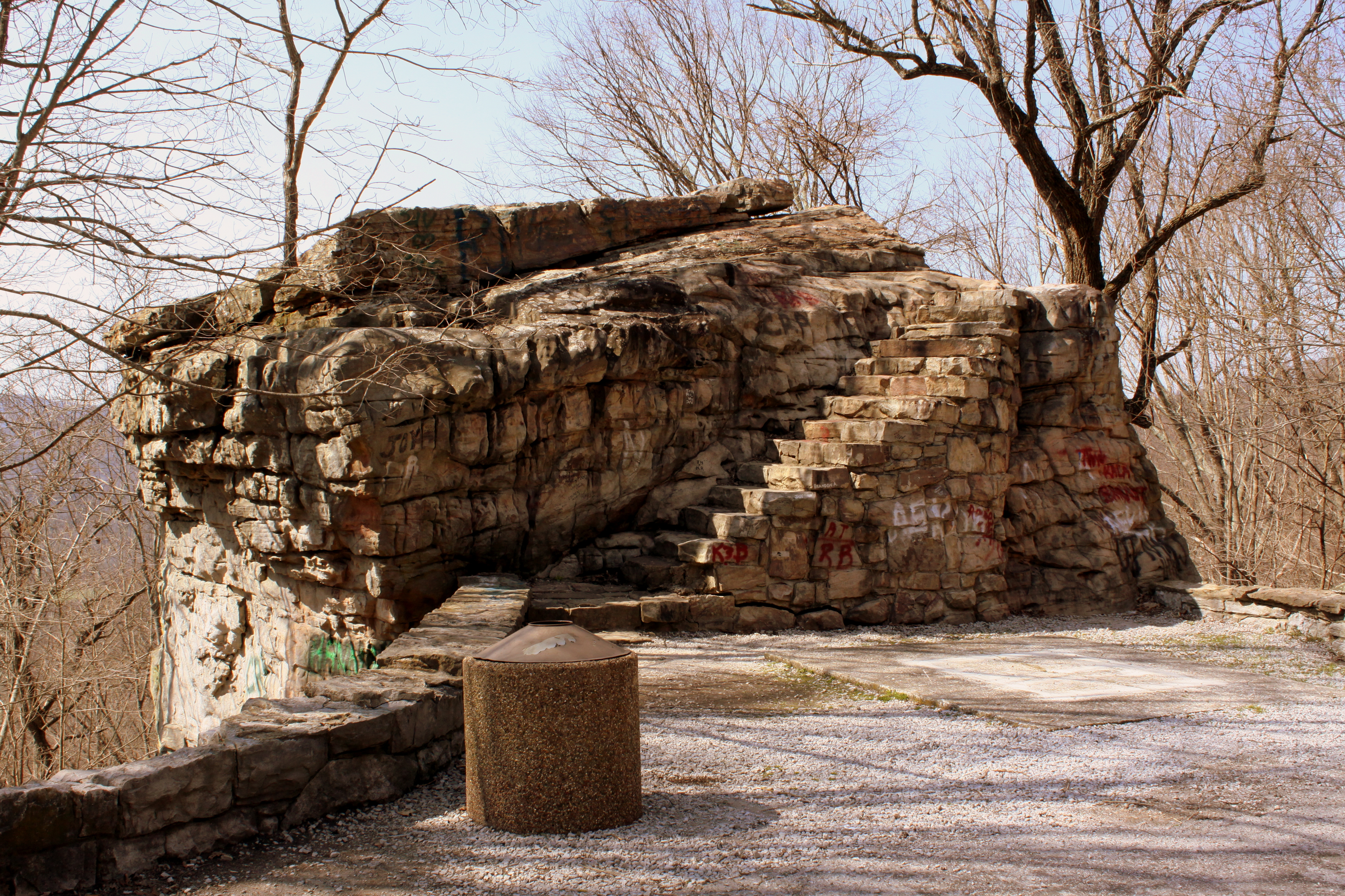
Big Rock & Scenic Overlook - Sewanee, TN
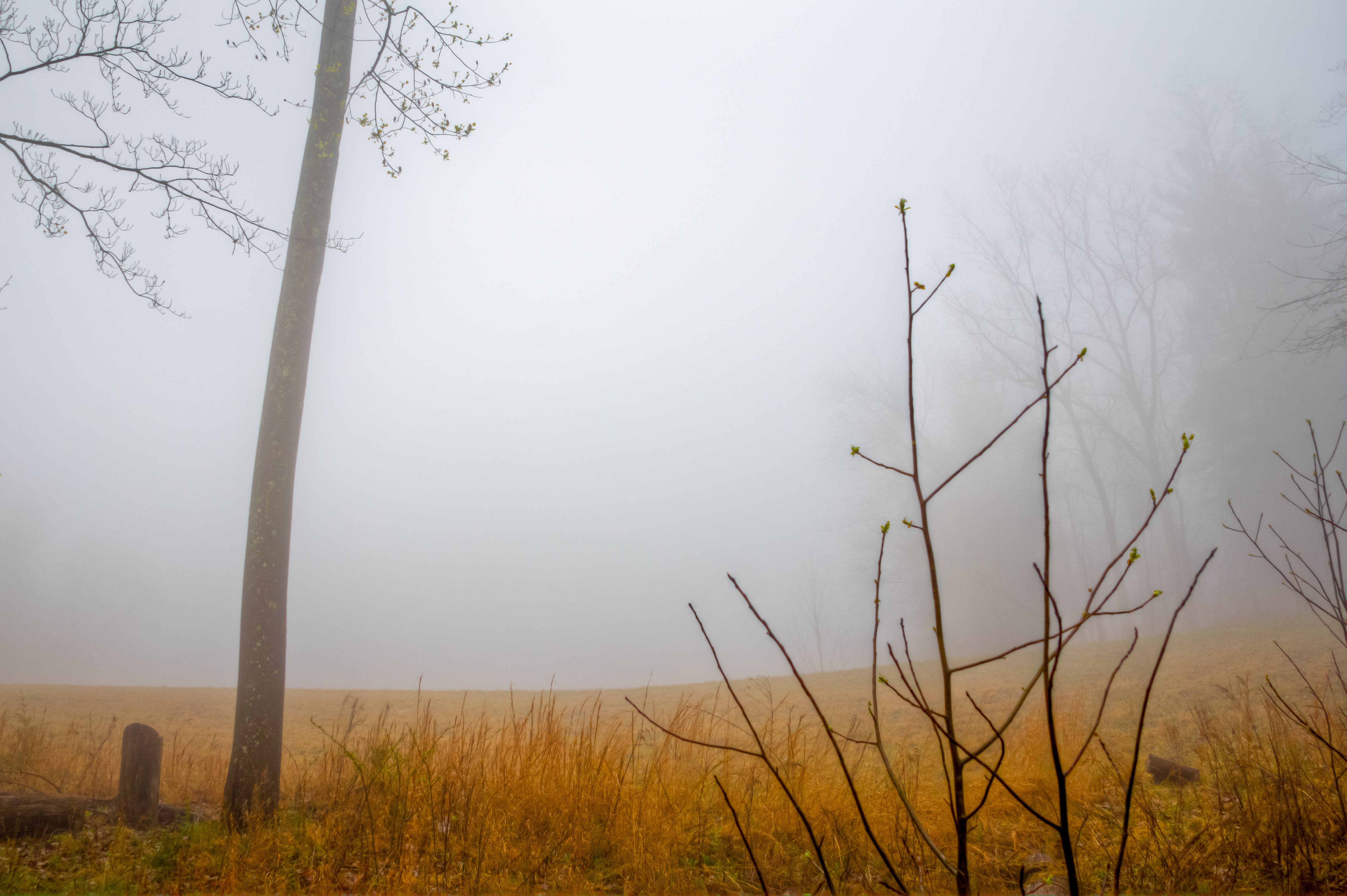
Sewanee - February 6, 2016
Sewanee - February 6, 2016
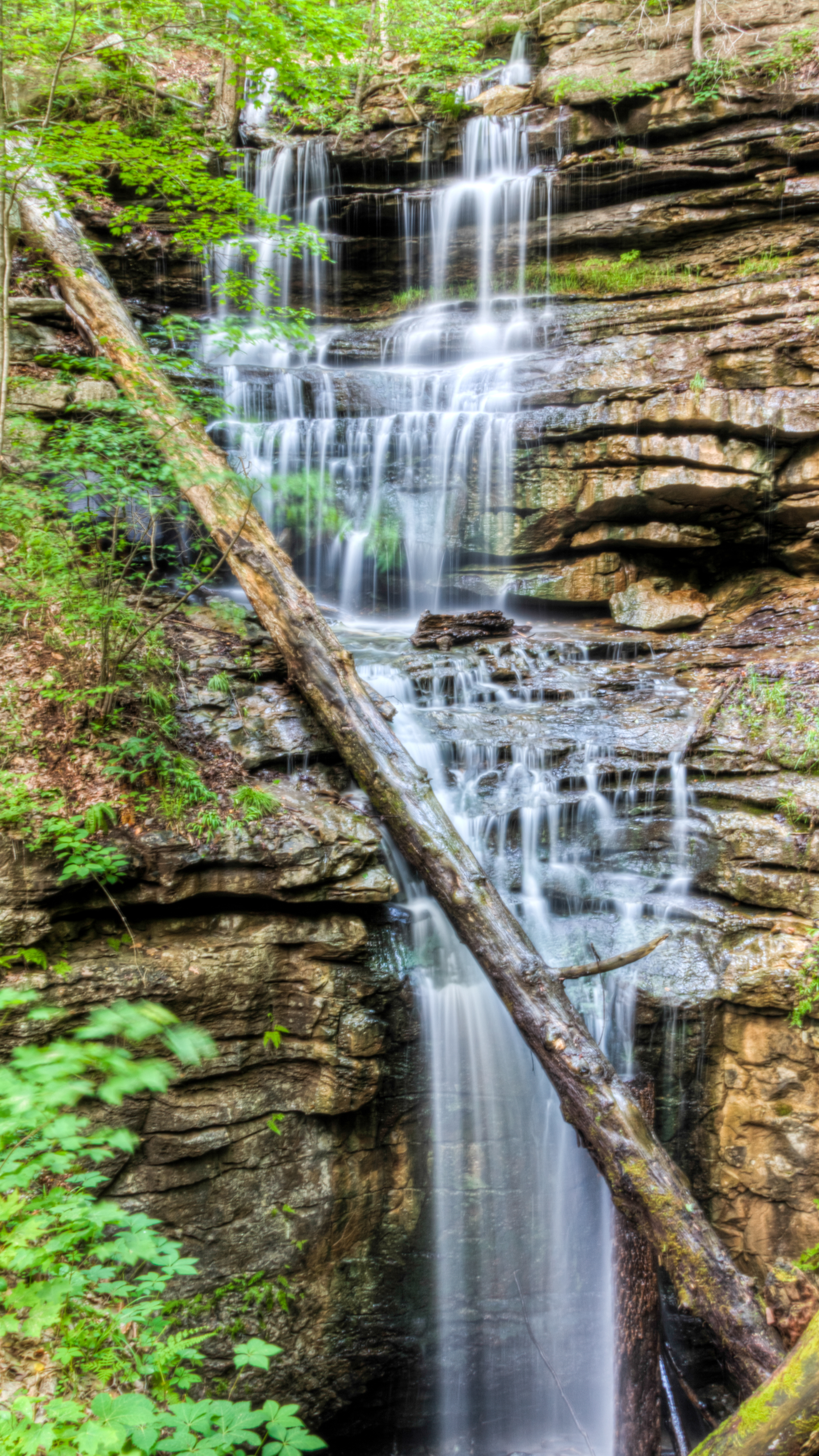
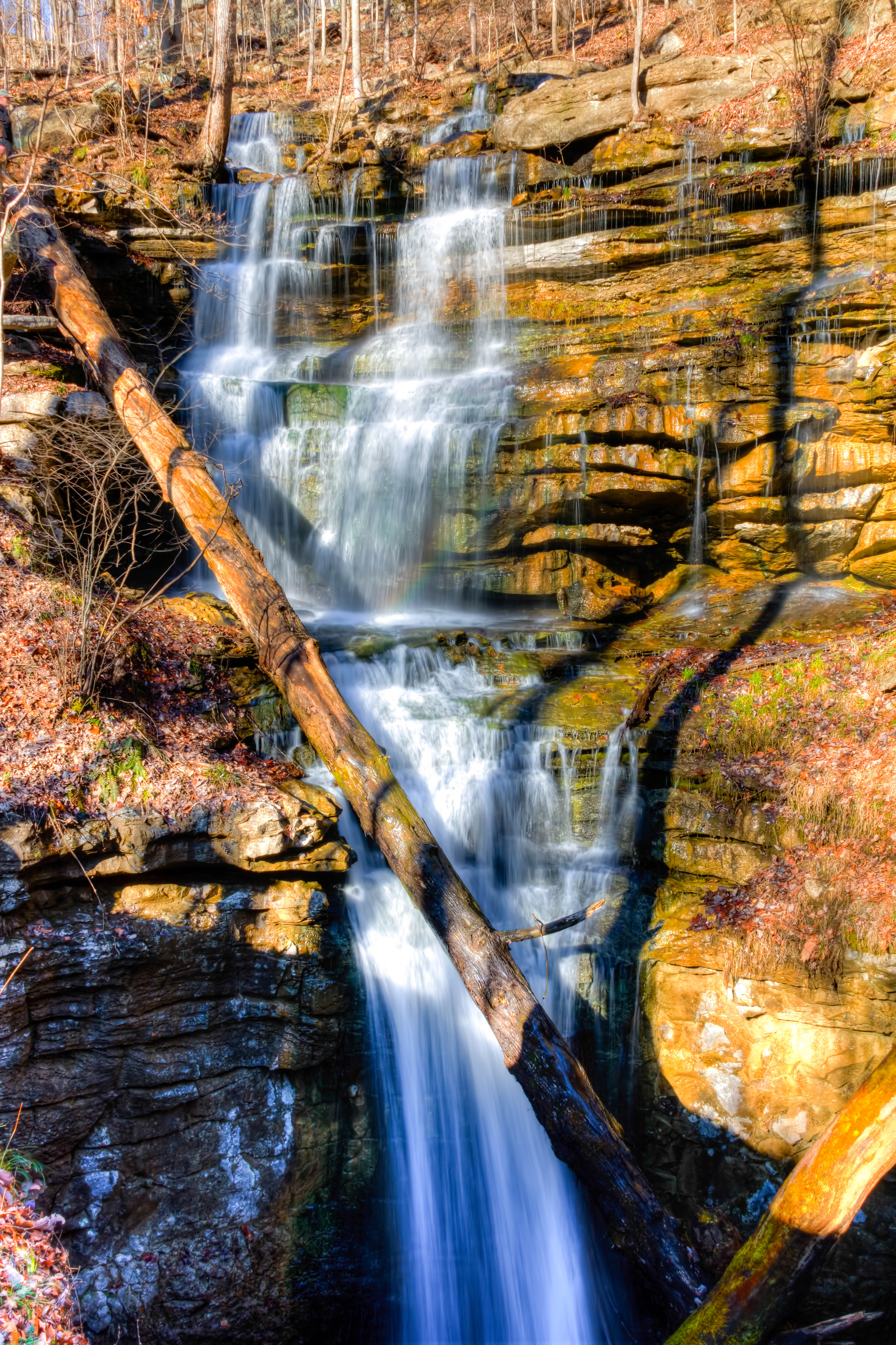
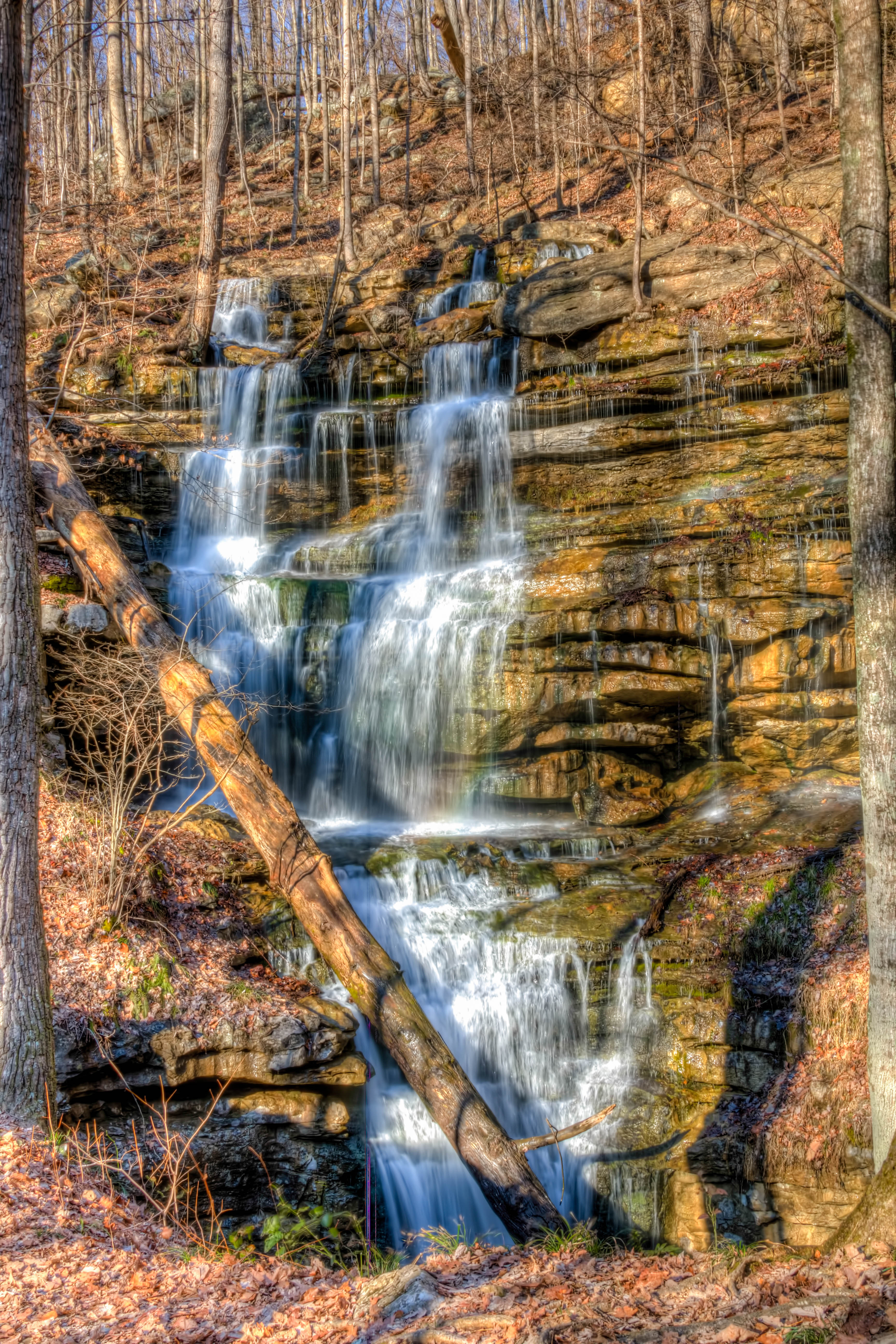
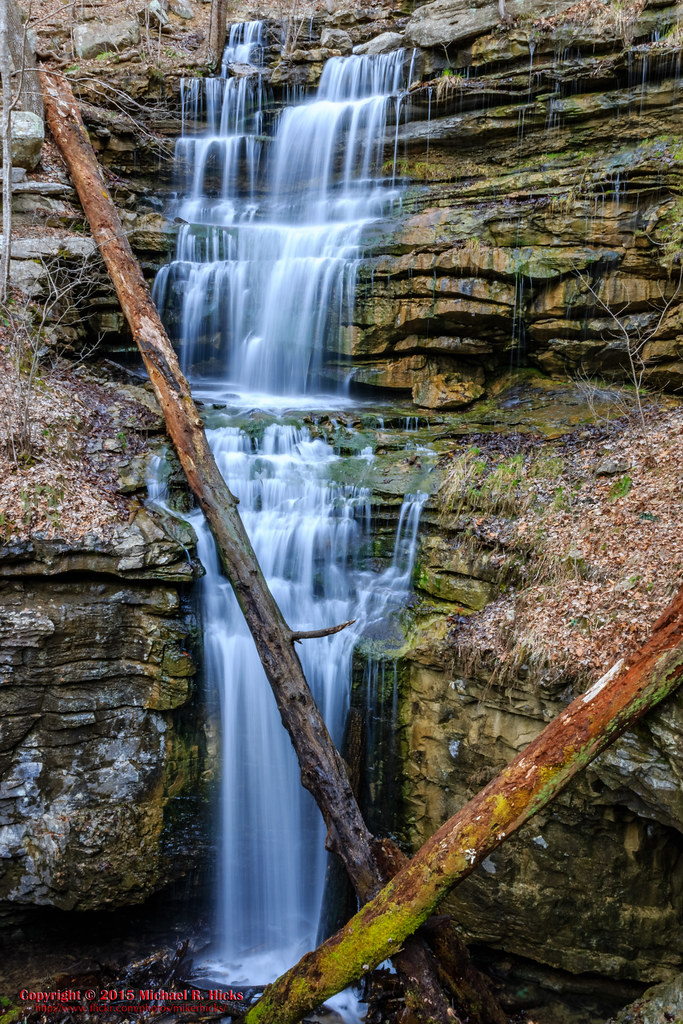
Bridal Veil Falls - Sewanee
Sewanee - February 6, 2016
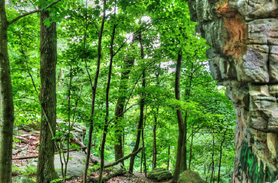
Sewanee Perimeter Trail
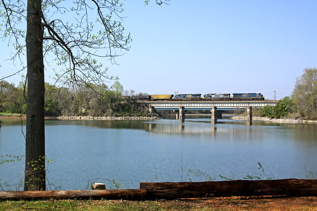
A north bound CSX crosses Estill Springs Lake, TN.
37-1
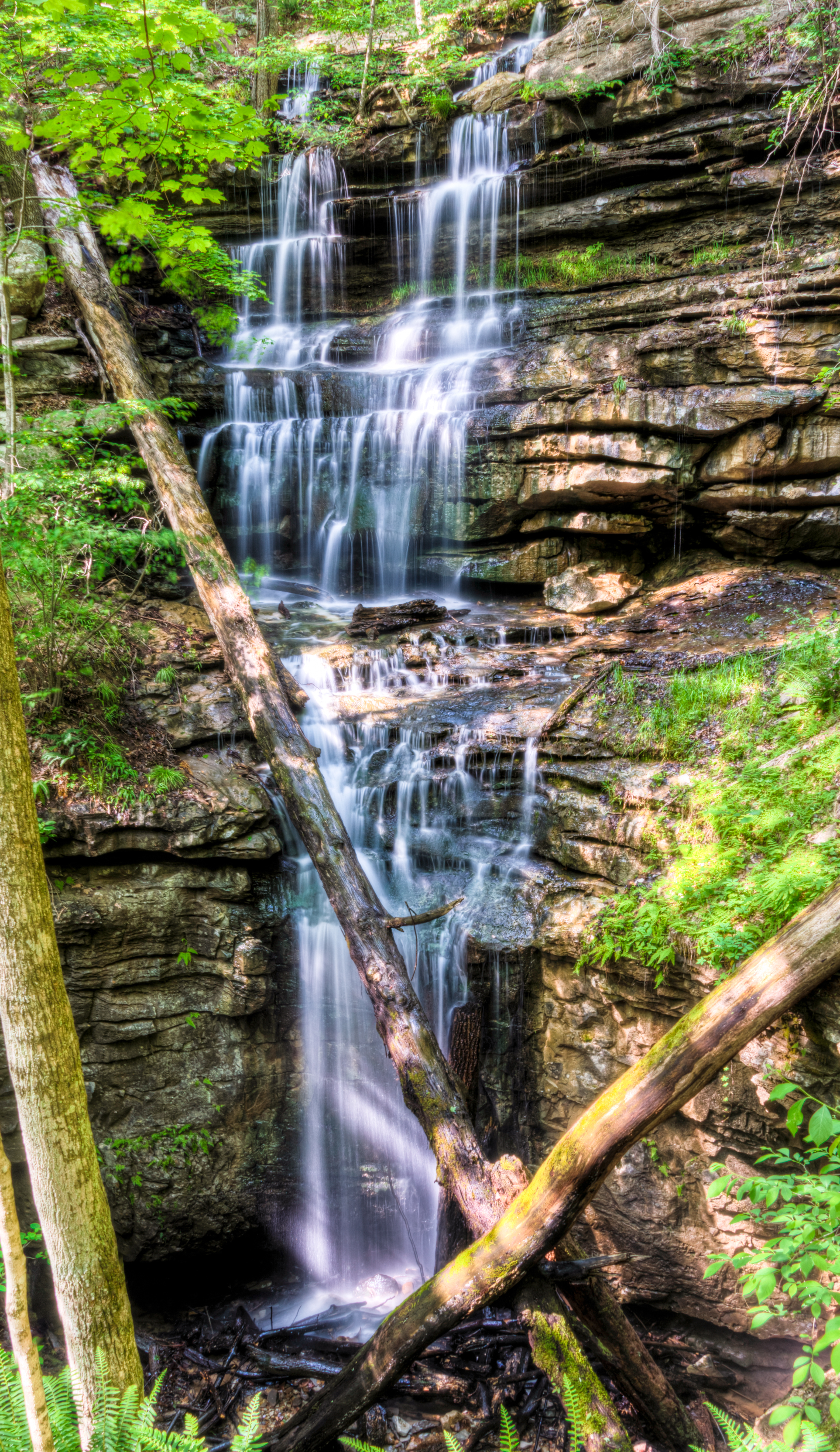
Bridal Veil Falls - Sewanee
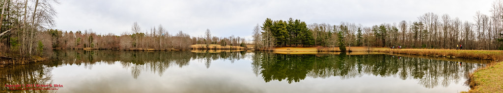
Sewanee - February 6, 2016
Topographic Map of The Body Shop Health and Wellness Studio, Sharp Springs Rd, Winchester, TN, USA
Find elevation by address:

Places near The Body Shop Health and Wellness Studio, Sharp Springs Rd, Winchester, TN, USA:
Decherd Blvd, Decherd, TN, USA
Dogwood Lane
Russell St, Winchester, TN, USA
1st Ave N, Decherd, TN, USA
Decherd
Winchester
401 S High St
111 N Cedar St
117 Fairground St
Winchester, TN, USA
199 Chase Cir
199 Chase Cir
Liberty Rd, Winchester, TN, USA
Franklin County
Tipps Road
Estill Springs
162 Grizzell Ln
340 Old Spring Creek Rd
61 Gipson Ln, Decherd, TN, USA
183 Crossview Rd
Recent Searches:
- Elevation of Elwyn Dr, Roanoke Rapids, NC, USA
- Elevation of Congressional Dr, Stevensville, MD, USA
- Elevation of Bellview Rd, McLean, VA, USA
- Elevation of Stage Island Rd, Chatham, MA, USA
- Elevation of Shibuya Scramble Crossing, 21 Udagawacho, Shibuya City, Tokyo -, Japan
- Elevation of Jadagoniai, Kaunas District Municipality, Lithuania
- Elevation of Pagonija rock, Kranto 7-oji g. 8"N, Kaunas, Lithuania
- Elevation of Co Rd 87, Jamestown, CO, USA
- Elevation of Tenjo, Cundinamarca, Colombia
- Elevation of Côte-des-Neiges, Montreal, QC H4A 3J6, Canada