Elevation of 1st Ave N, Decherd, TN, USA
Location: United States > Tennessee > Franklin County > Decherd >

Longitude: -86.079995

Latitude: 35.208963

Elevation: 294m / 965feet

Barometric Pressure: 98KPa

Elevation Map:

elevation map of 1st Ave N, Decherd, TN, USA

Satellite Map:

Satellite map of 1st Ave N, Decherd, TN, USA
Related Photos:

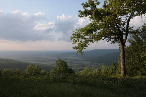
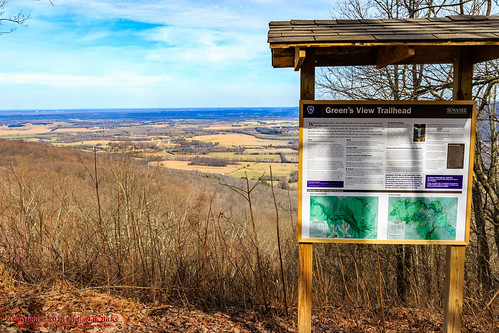
Green's View Road
old church downtown memphis tennessee historic midtown convent anglican episcopal protestant cumberlandplateau medicalcenter youngadults downtownmemphis midtownmemphis winchesterpark
St. Mary's Convent, Sewanee
tennessee sewanee universityofthesouth
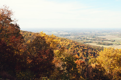
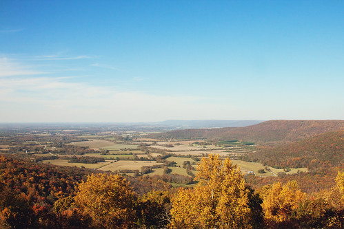
Green's View
sky history architecture rural photography photo nikon tennessee engineering bluesky pic oldbuildings historic clocktower photograph americana courthouse thesouth winchester hdr ruralamerica engineeringasart beautifulsky 2016 courtsquare historicbuilding smalltownamerica franklincounty photomatix deepbluesky bracketed skyabove middletennessee ruraltennessee hdrphotomatix ofandbyengineers ruralview fadingamerica hdrimaging uscountycourthouses vanishingamerica winchestertennessee oldandbeautiful ibeauty franklincountycourthouse historyisallaroundus hdraddicted winchestertn allskyandclouds tennesseephotographer structuresofthesouth southernphotography screamofthephotographer hdrvillage engineeringisart jlrphotography photographyforgod worldhdr tennesseehdr d7200 hdrrighthererightnow engineerswithcameras hdrworlds jlramsaurphotography nikond7200 tennesseecountycourthouses americanrelics it’saretroworldafterall franklincountytncourthouse newdealcourthouse
Franklin County, TN Courthouse - Winchester, TN
tennessee convent anglican episcopal cumberlandplateau
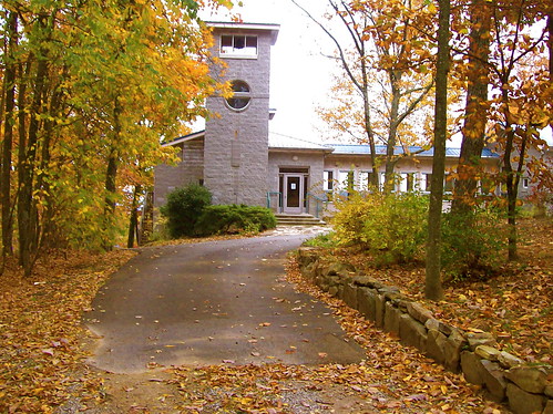
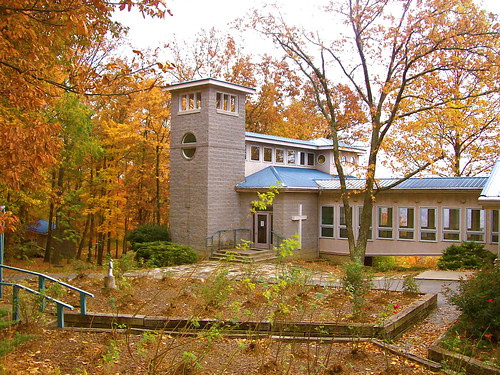
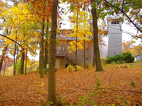
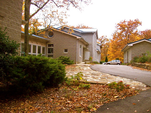
St. Mary's Convent
episcopal anglican tennessee cumberlandplateau convent midtownmemphis downtownmemphis memphis downtown midtown medicalcenter winchesterpark church protestant historic old youngadults
St. Mary's Convent
tennessee convent anglican episcopal cumberlandplateau
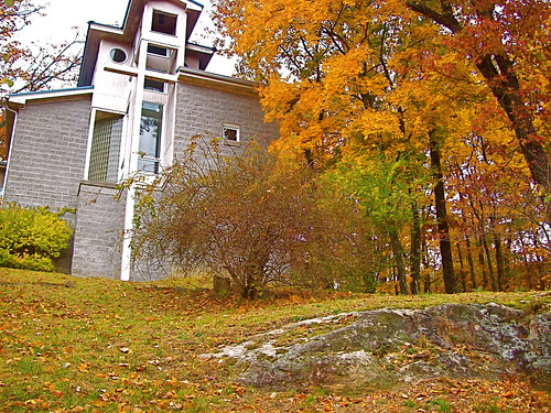
St. Mary's Convent
tennessee convent anglican episcopal cumberlandplateau
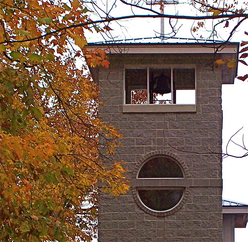
Bell tower, St. Mary's Convent, Sewanee
tennessee convent anglican episcopal cumberlandplateau
St. Mary's Convent
tennessee convent anglican episcopal cumberlandplateau
St. Mary's Convent
Green's View
tennessee convent anglican episcopal cumberlandplateau
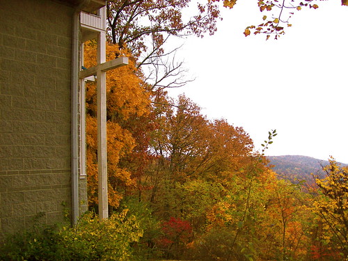
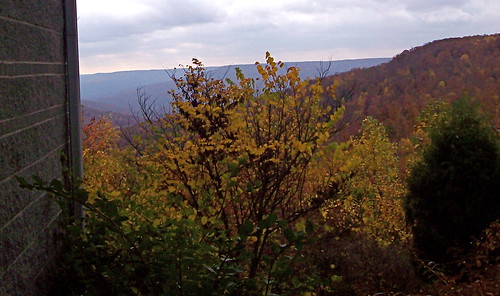
View from St. Mary's Convent
tennessee convent anglican episcopal cumberlandplateau
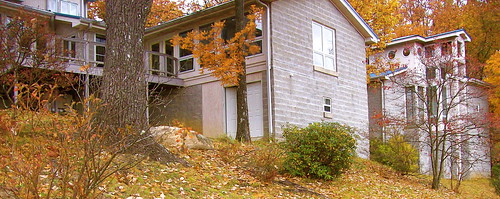
St. Mary's Convent
Green's View
Green's View
tennessee convent anglican episcopal cumberlandplateau
St. Mary's Convent
old church downtown memphis tennessee historic midtown convent anglican episcopal protestant cumberlandplateau medicalcenter youngadults downtownmemphis midtownmemphis winchesterpark
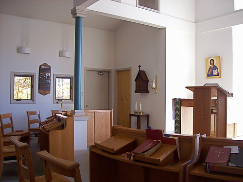
Chapel at St. Mary's Convent
sculpture art college halloween architecture scary education university tennessee gothic goth eerie haunted creepy horror haunting haunt fright frightening frightful spook gothicarchitecture collegecampus sewanee universityofthesouth thedomain monteaglemountain
Horror Scene
winter usa nature geotagged outdoors photography unitedstates hiking tennessee hdr sewanee greensview geo:country=unitedstates camera:make=canon exif:make=canon geo:state=tennessee exif:lens=1750mm exif:aperture=ƒ10 exif:isospeed=200 exif:focallength=23mm canoneos7dmkii camera:model=canoneos7dmarkii exif:model=canoneos7dmarkii geo:city=sewanee geo:location=sewanee geo:lat=3521755333 geo:lon=8591818333 geo:lon=85918055 geo:lat=352175
Sewanee - February 6, 2016
square squareformat iphoneography instagramapp uploaded:by=instagram foursquare:venue=4b4ad146f964a520a88e26e3
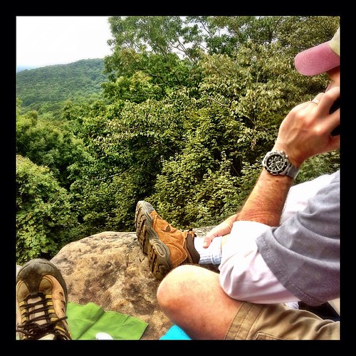
Our picnic spot on Sewanee's campus (The University of the South) during our hike on the Perimeter Trail. We spent a wonderful 4 days, 3 nights in Little Bear Cabin in Monteagle, TN. The views were spectacular, from the cabin and in our many hikes. Planni
tn tennessee boulder cumberlandplateau turnout sewanee universityofthesouth scenicoverlook dixiehighway us41 picnicarea franklincounty us64 roadgeek pulloff us41a roadfan tn15 bmok
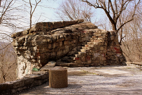
Big Rock & Scenic Overlook - Sewanee, TN
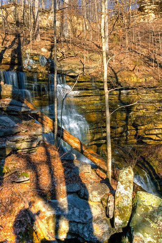
usa geotagged waterfall unitedstates tennessee waterfalls sewanee geo:lon=8594297333 geo:lat=3520229167
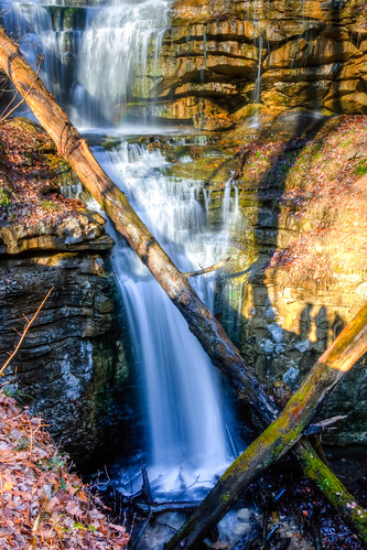
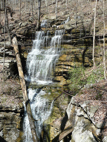
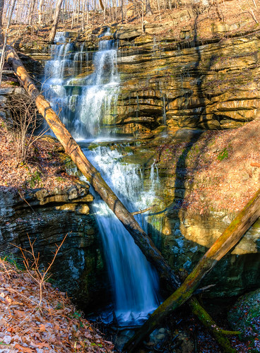
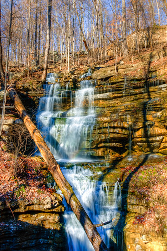
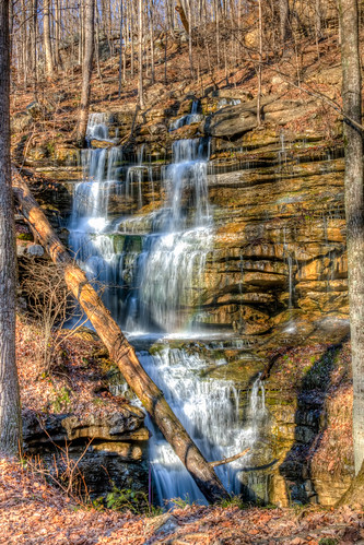
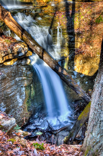
Sewanee Southern Section Perimeter Trail - Bridal Veil Falls
usa geotagged waterfall unitedstates tennessee waterfalls sewanee geo:lat=3520217000 geo:lon=8594294833
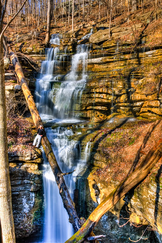
Sewanee Southern Section Perimeter Trail - Bridal Veil Falls
travel architecture landscape unitedstates tennessee churches sewanee
All Saints Chapel
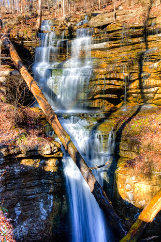
usa geotagged waterfall unitedstates tennessee waterfalls cowan sewanee geo:lat=3520242667 geo:lon=8594304500
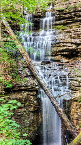
Bridal Veil Falls - Sewanee
freight csx freighttrain estillsprings csx7725 csx788 estillspringslake csx3070
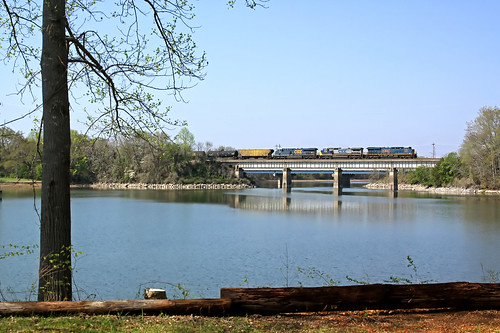
A north bound CSX crosses Estill Springs Lake, TN.
flowers birds photoshopelements landscapeafterabadnight
2008 05 07_After a bad night_5562.JPG
usa geotagged waterfall unitedstates tennessee waterfalls cowan sewanee geo:lat=3520233000 geo:lon=8594304500
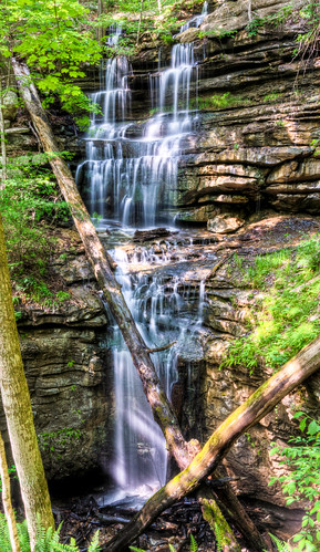
Bridal Veil Falls - Sewanee
longexposure usa creek forest us waterfall woods flora nikon tennessee unitedstatesofamerica bosque nikkor riachuelo cascada quebrada sewanee d4 exposiciónlarga neutraldensityfilter 2470mmf28g filtrodedensidadneutra bwnd30 wigginscreek 2012102010362
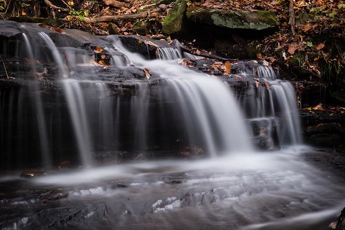
Wiggins Creek Waterfall
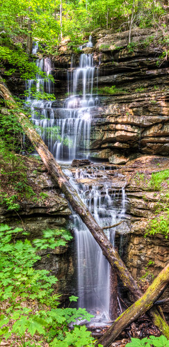
Bridal Veil Falls
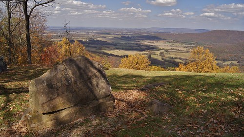
fall tennessee fallfoliage overlook cumberland tennesseeoverlook sawanee sawaneeoverlook
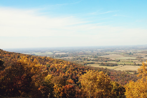
Greens Overlook near Sewanee TN
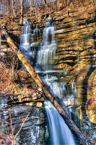
usa geotagged waterfall unitedstates tennessee waterfalls cowan sewanee ptgui photomatix geo:lat=3520234833 geo:lon=8594305000
Bridal Veil Falls - Sewanee
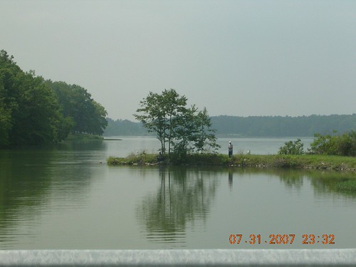
Fishermen at Wood's Reservoir
usa geotagged unitedstates tennessee sewanee geo:lat=3520229333 geo:lon=8594296833
Sewanee Southern Section Perimeter Trail - Bridal Veil Falls
usa geotagged unitedstates tennessee sewanee geo:lat=3520231500 geo:lon=8594302833
Sewanee Southern Section Perimeter Trail - Bridal Veil Falls
usa geotagged unitedstates tennessee sewanee geo:lat=3520221667 geo:lon=8594297333
Sewanee Southern Section Perimeter Trail - Bridal Veil Falls
usa geotagged unitedstates tennessee sewanee geo:lat=3520231333 geo:lon=8594296167
Sewanee Southern Section Perimeter Trail - Bridal Veil Falls
usa geotagged unitedstates tennessee sewanee geo:lat=3520229500 geo:lon=8594292000
Sewanee Southern Section Perimeter Trail - Bridal Veil Falls
usa geotagged unitedstates tennessee sewanee geo:lat=3520229333 geo:lon=8594296833
Sewanee Southern Section Perimeter Trail - Bridal Veil Falls
usa geotagged unitedstates tennessee sewanee geo:lat=3520225000 geo:lon=8594296333
Sewanee Southern Section Perimeter Trail - Bridal Veil Falls
usa geotagged unitedstates tennessee sewanee geo:lat=3520228500 geo:lon=8594299833
Sewanee Southern Section Perimeter Trail - Bridal Veil Falls