Elevation of Tharpu, Nepal
Location: Nepal > Eastern Region >
Longitude: 87.85
Latitude: 27.26
Elevation: 1373m / 4505feet
Barometric Pressure: 86KPa
Elevation Map:
Satellite Map:
Related Photos:
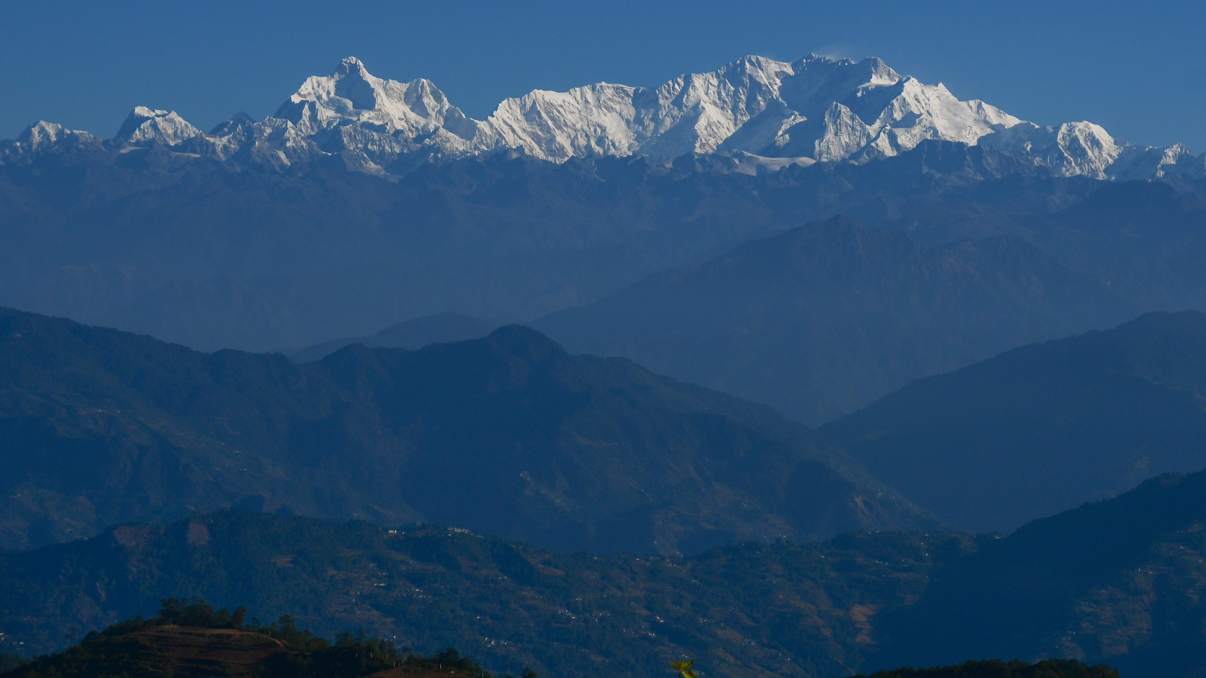
The Kangchenjunga range from Ilam

Rice terraces near Taplejung

RK_IMG_5431.jpg

RK_IMG_5430.jpg

RK_IMG_5427.jpg

RK_IMG_5425.jpg

RK_IMG_5413.jpg

RK_IMG_5410.jpg

RK_IMG_5396.jpg

RK_IMG_5395.jpg

RK_IMG_5389.jpg

RK_IMG_5380.jpg

RK_IMG_5375.jpg

RK_IMG_5369.jpg

RK_IMG_5326.jpg
201605.2253.Nepal.Kabeli

201605.2081.Nepal.Kabeli

201605.2082.Nepal.Kabeli

201605.2083.Nepal.Kabeli

201605.2084.Nepal.Kabeli

201605.2085.Nepal.Kabeli
Topographic Map of Tharpu, Nepal
Find elevation by address:

Places near Tharpu, Nepal:
Panchthar
Phidim Bazar
Phidim
Sandakpur
Ranke
Maipokhari
Ranke Bazzar, Panchthar
Uttarey Bazar
Uttarey
Sandakphu
Chamaita
Puwa Khola
Puwa Khola
Mangalbare
Sherjong
Gufa Pokhari
Guphapokhari
Chayatal- Hee Patel Road
Papung
Tea Garden Restaurant
Recent Searches:
- Elevation of Sadovaya Ulitsa, 20, Rezh, Sverdlovskaya oblast', Russia
- Elevation of Ulitsa Kalinina, 79, Rezh, Sverdlovskaya oblast', Russia
- Elevation of 72-31 Metropolitan Ave, Middle Village, NY, USA
- Elevation of 76 Metropolitan Ave, Brooklyn, NY, USA
- Elevation of Alisal Rd, Solvang, CA, USA
- Elevation of Vista Blvd, Sparks, NV, USA
- Elevation of 15th Ave SE, St. Petersburg, FL, USA
- Elevation of Beall Road, Beall Rd, Florida, USA
- Elevation of Leguwa, Nepal
- Elevation of County Rd, Enterprise, AL, USA