Elevation of Thames Rd, Appin, ON N0L 1A0, Canada
Location: Canada > Ontario > Middlesex County >
Longitude: -81.599981
Latitude: 42.7577619
Elevation: 214m / 702feet
Barometric Pressure: 99KPa
Elevation Map:
Satellite Map:
Related Photos:

Mornin Eh! #canada #roadtoad #roadtoadphoto #ios #instagram #photography

Dutton_Dunwich-20130110-00049.jpg
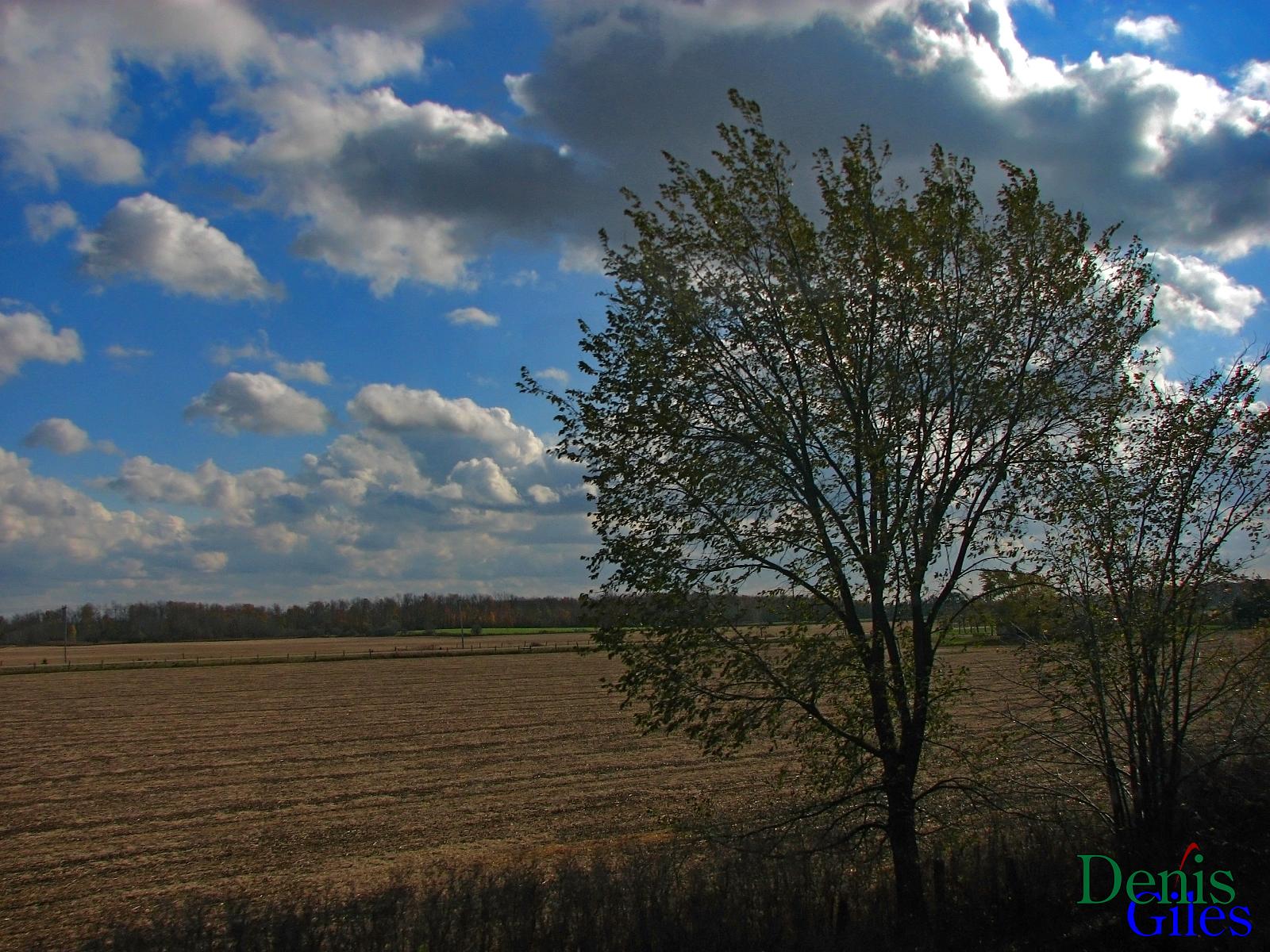
Earth Tones

Sibling Shoot pt 2

Cloud Mountains

And Home Again
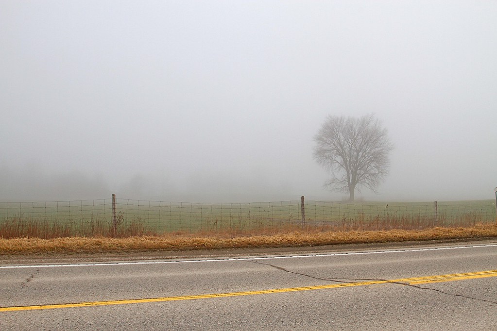
TREE FOG 031216
Fall?
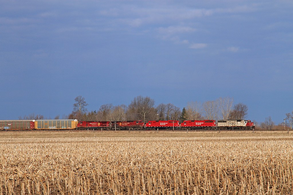
SOO 6027-244 041115

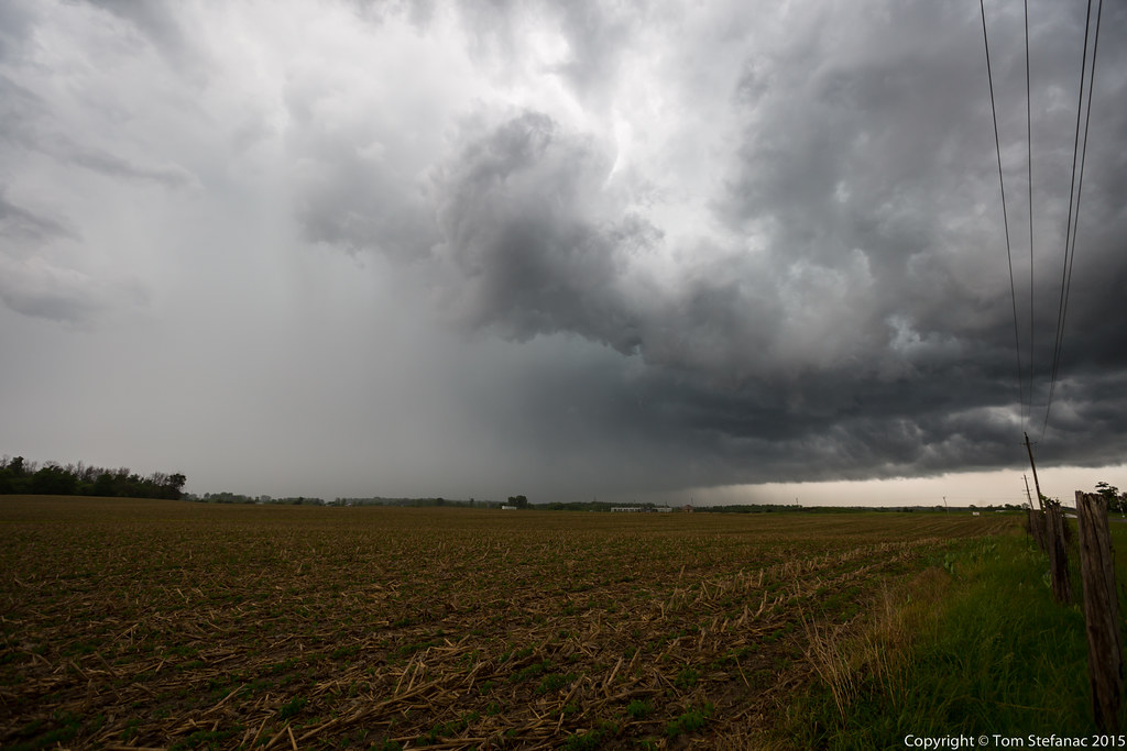
Christina, Ontario Supercell
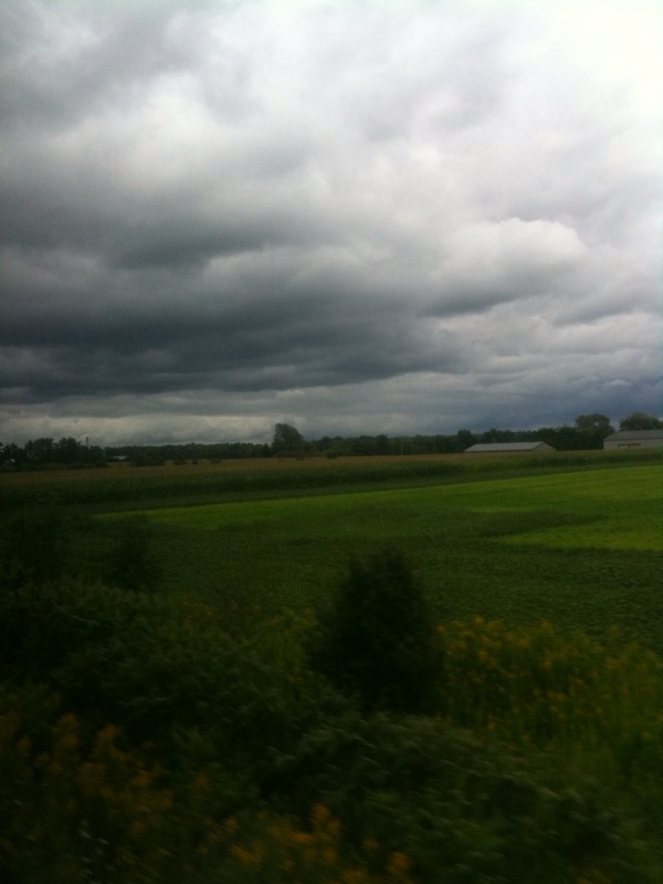
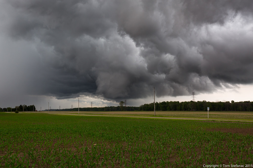
Storm 3 Cont

20150614-_E1A2269.jpg
Inflow / Outflow
Topographic Map of Thames Rd, Appin, ON N0L 1A0, Canada
Find elevation by address:

Places near Thames Rd, Appin, ON N0L 1A0, Canada:
22064 Thames Rd
5849 Falconbridge Dr
Olde Dr, Appin, ON N0L 1A0, Canada
Glencoe
26911 Pioneer Line
Colley Rd, Rodney, ON N0L 2C0, Canada
24801 Pioneer Line
24801 Pioneer Line
West Elgin
27 Lindsay Dr
Strathroy
Pentacast Inc
Rodney
Newbury
8371 Hickory Dr
Mosa Forest - Badder And Robinson Memorial Forest
4074 Egremont Dr
Johnston Line, Bothwell, ON N0P 1C0, Canada
Alvinston
Nauvoo Rd, Alvinston, ON N0N 1A0, Canada
Recent Searches:
- Elevation of Sattva Horizon, 4JC6+G9P, Vinayak Nagar, Kattigenahalli, Bengaluru, Karnataka, India
- Elevation of Great Brook Sports, Gold Star Hwy, Groton, CT, USA
- Elevation of 10 Mountain Laurels Dr, Nashua, NH, USA
- Elevation of 16 Gilboa Ln, Nashua, NH, USA
- Elevation of Laurel Rd, Townsend, TN, USA
- Elevation of 3 Nestling Wood Dr, Long Valley, NJ, USA
- Elevation of Ilungu, Tanzania
- Elevation of Yellow Springs Road, Yellow Springs Rd, Chester Springs, PA, USA
- Elevation of Rēzekne Municipality, Latvia
- Elevation of Plikpūrmaļi, Vērēmi Parish, Rēzekne Municipality, LV-, Latvia