Elevation of Falconbridge Dr, Appin, ON N0L 1A0, Canada
Location: Canada > Ontario > Middlesex County >
Longitude: -81.628494
Latitude: 42.8258137
Elevation: 228m / 748feet
Barometric Pressure: 99KPa
Elevation Map:
Satellite Map:
Related Photos:

My view, right now, w/@annewaterman. Time to chill out.

Cloud Mountains
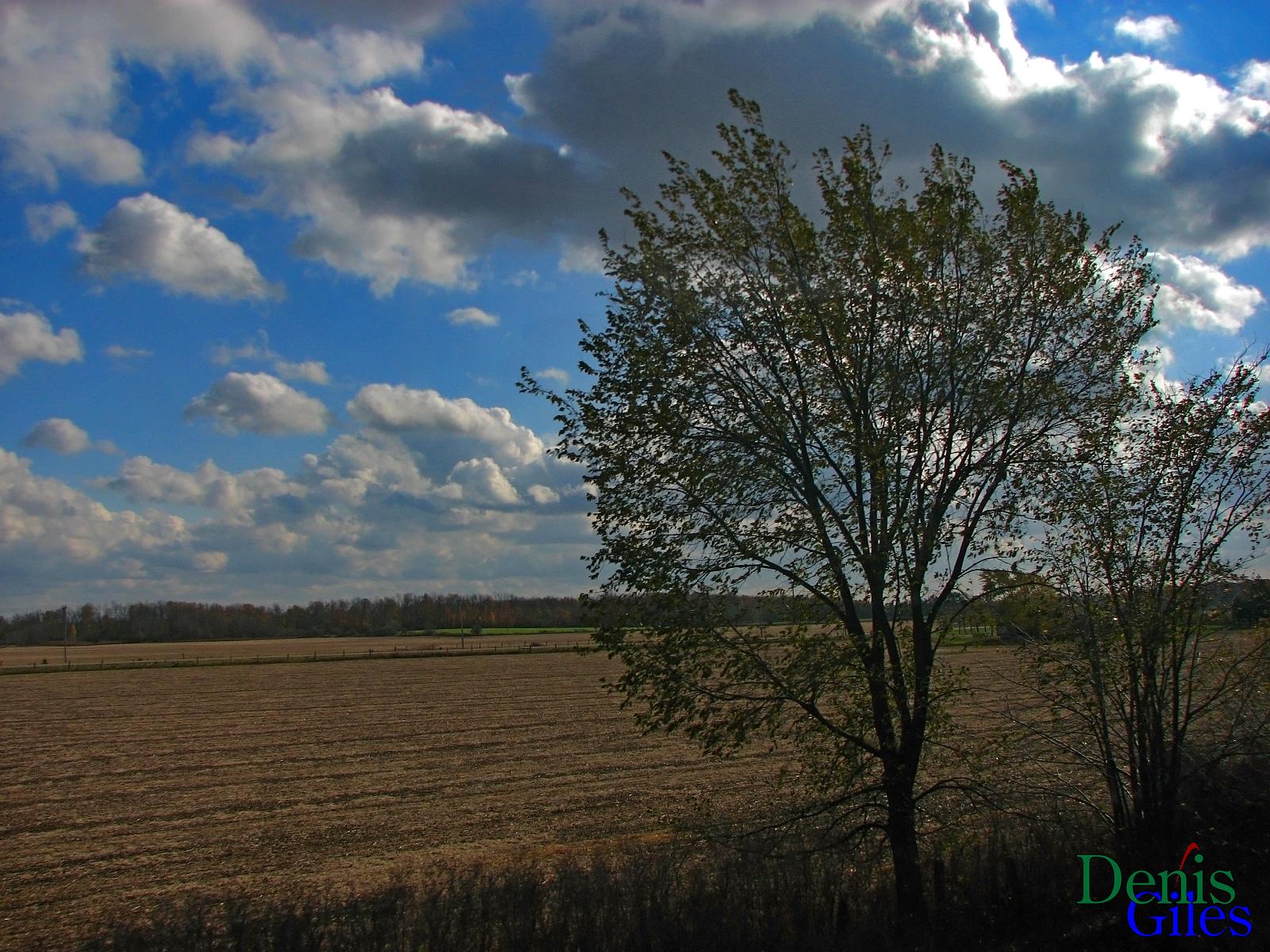
Earth Tones

SOO 6027-244 041115

CN 2180

Sibling Shoot pt 2
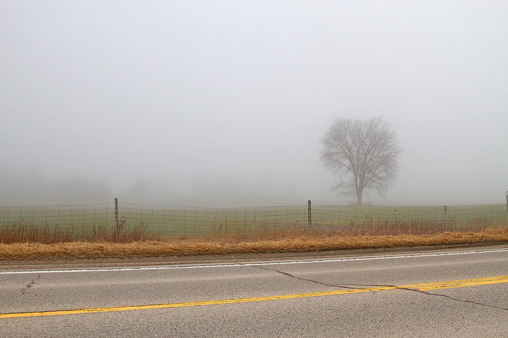
TREE FOG 031216
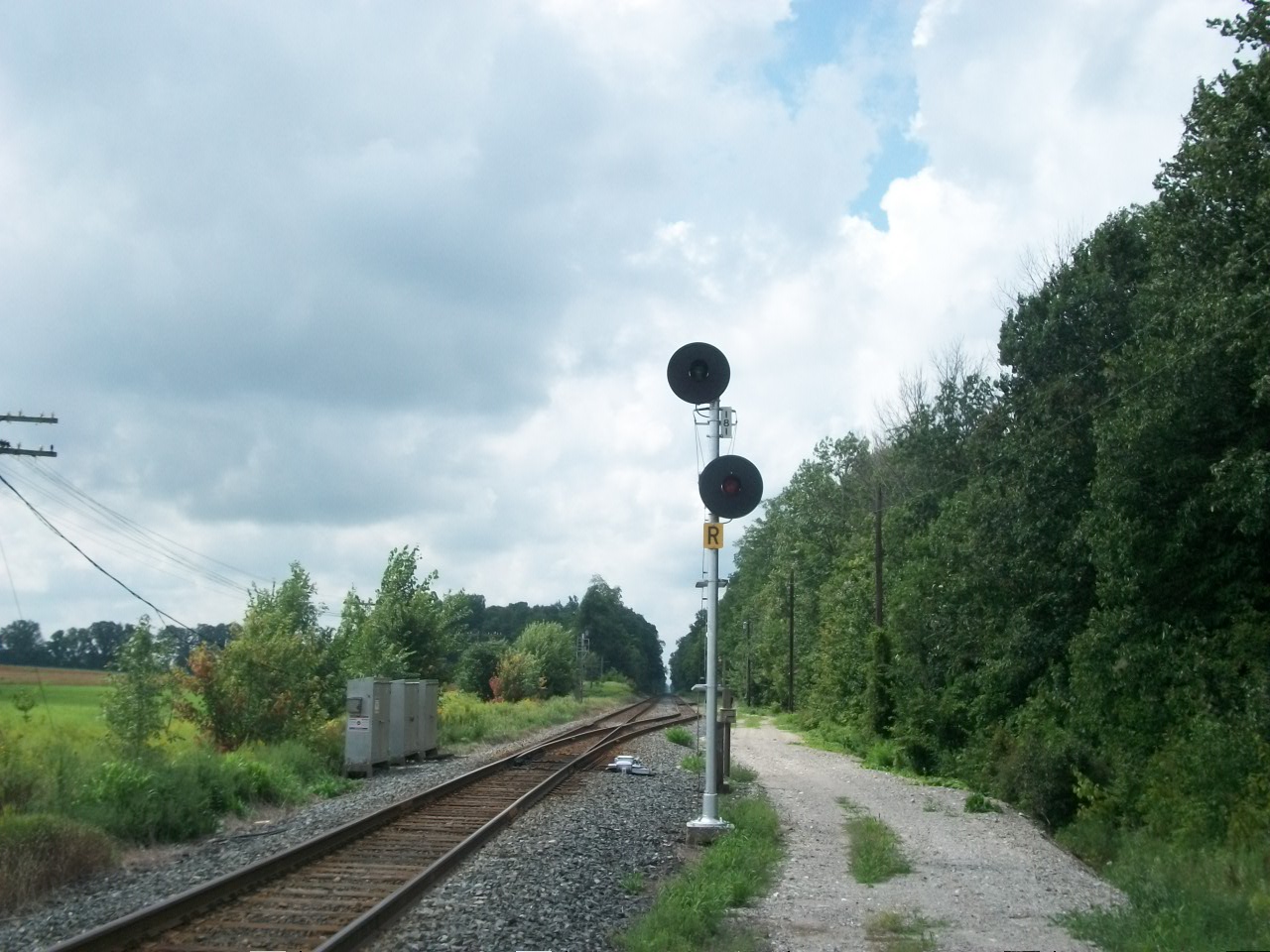
East Siding Switch Longwood

Storm 3 Cont
20150614-_E1A2269.jpg

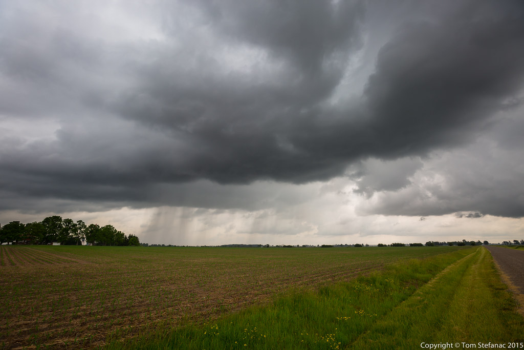
Strong Thunderstorm - Ilderton, ON
Topographic Map of Falconbridge Dr, Appin, ON N0L 1A0, Canada
Find elevation by address:

Places near Falconbridge Dr, Appin, ON N0L 1A0, Canada:
Olde Dr, Appin, ON N0L 1A0, Canada
22064 Thames Rd
Thames Rd, Appin, ON N0L 1A0, Canada
Glencoe
27 Lindsay Dr
Strathroy
Pentacast Inc
8371 Hickory Dr
4074 Egremont Dr
26911 Pioneer Line
Colley Rd, Rodney, ON N0L 2C0, Canada
Newbury
West Elgin
24801 Pioneer Line
24801 Pioneer Line
Alvinston
Nauvoo Rd, Alvinston, ON N0N 1A0, Canada
Mosa Forest - Badder And Robinson Memorial Forest
Rodney
Brooke-alvinston
Recent Searches:
- Elevation of Sattva Horizon, 4JC6+G9P, Vinayak Nagar, Kattigenahalli, Bengaluru, Karnataka, India
- Elevation of Great Brook Sports, Gold Star Hwy, Groton, CT, USA
- Elevation of 10 Mountain Laurels Dr, Nashua, NH, USA
- Elevation of 16 Gilboa Ln, Nashua, NH, USA
- Elevation of Laurel Rd, Townsend, TN, USA
- Elevation of 3 Nestling Wood Dr, Long Valley, NJ, USA
- Elevation of Ilungu, Tanzania
- Elevation of Yellow Springs Road, Yellow Springs Rd, Chester Springs, PA, USA
- Elevation of Rēzekne Municipality, Latvia
- Elevation of Plikpūrmaļi, Vērēmi Parish, Rēzekne Municipality, LV-, Latvia