Elevation of th Street & Eagle Road, th St & Eagle Rd, Menno, KS, USA
Location: United States > Kansas > Marion County > Hillsboro >
Longitude: -97.279582
Latitude: 38.3187984
Elevation: 435m / 1427feet
Barometric Pressure: 96KPa
Elevation Map:
Satellite Map:
Related Photos:
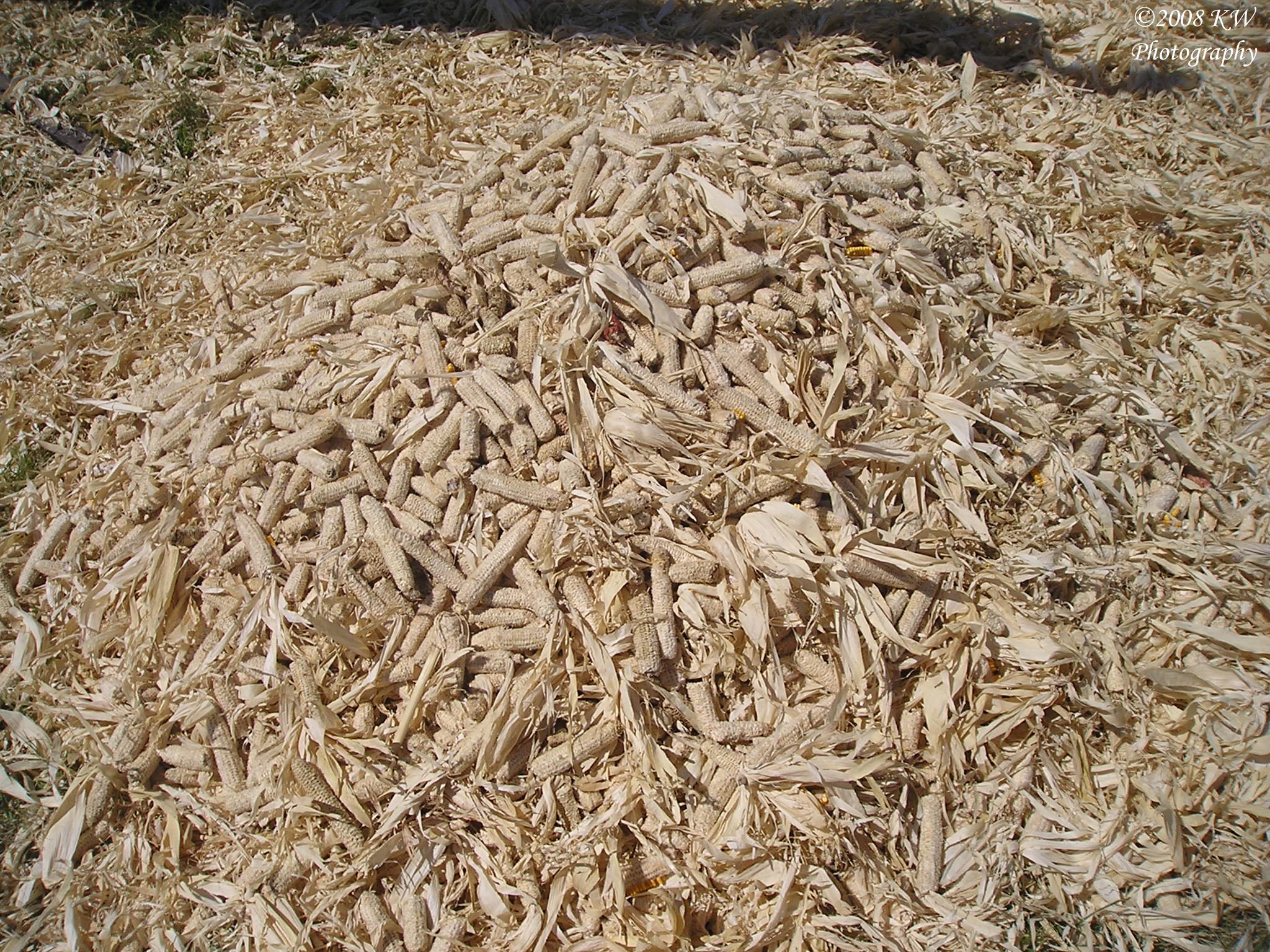
Corn Cobs
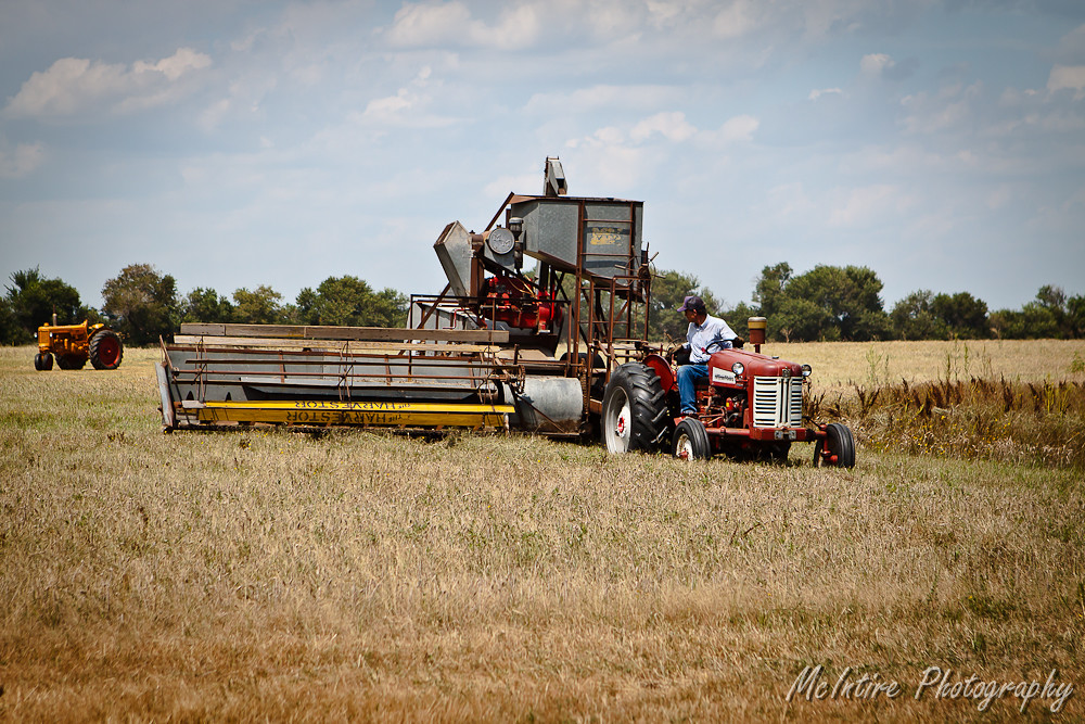
Self Powered Combine
20150710_061755_Richtone(HDR)

“You’re not a realist unless you believe in miracles.” ~Anwar Sadat (#CGEaglesSoar August 2018)

Art room setup that I believe fosters and maximizes artistic and personal growth growth. Mr Anderson walks the inside of this rectangle. High interaction kids to teacher and kids to each other as a community. Art objects on pedestal in middle for practice
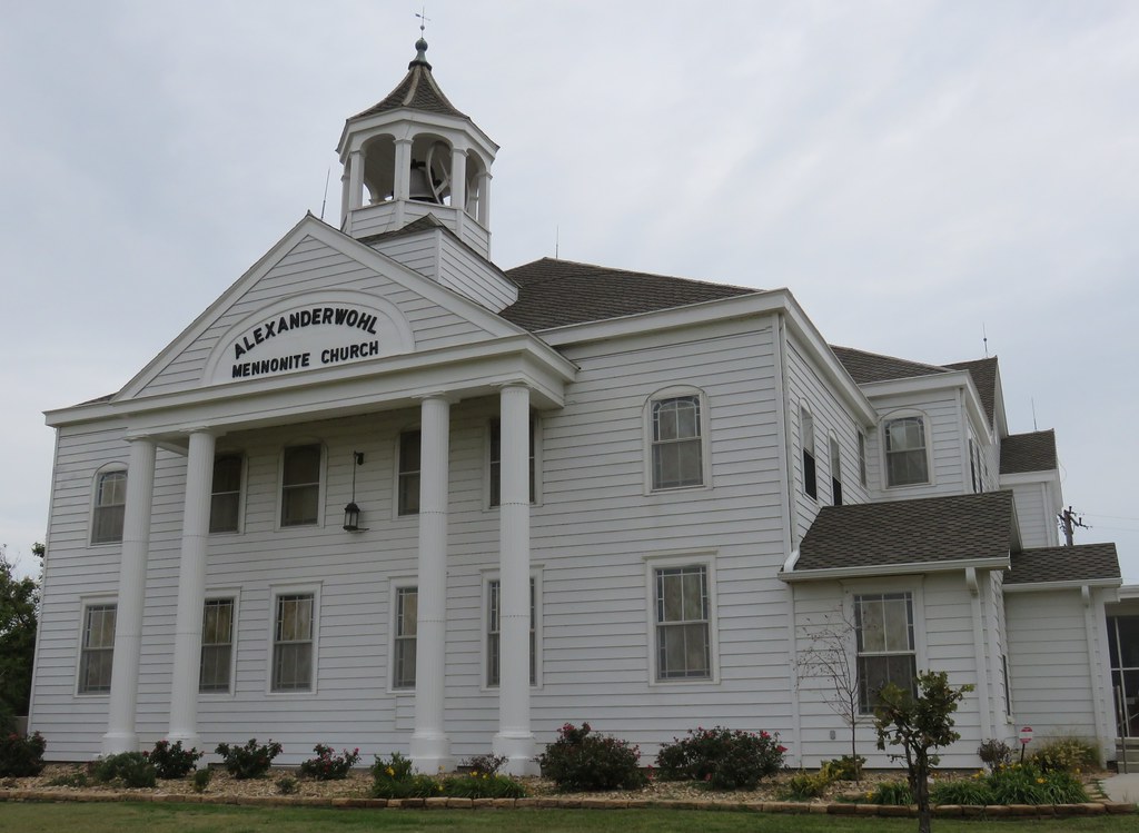
Alexanderwohl Mennonite Church (Marion County, Kansas)

Alexanderwohl Mennonite Church (Marion County, Kansas)
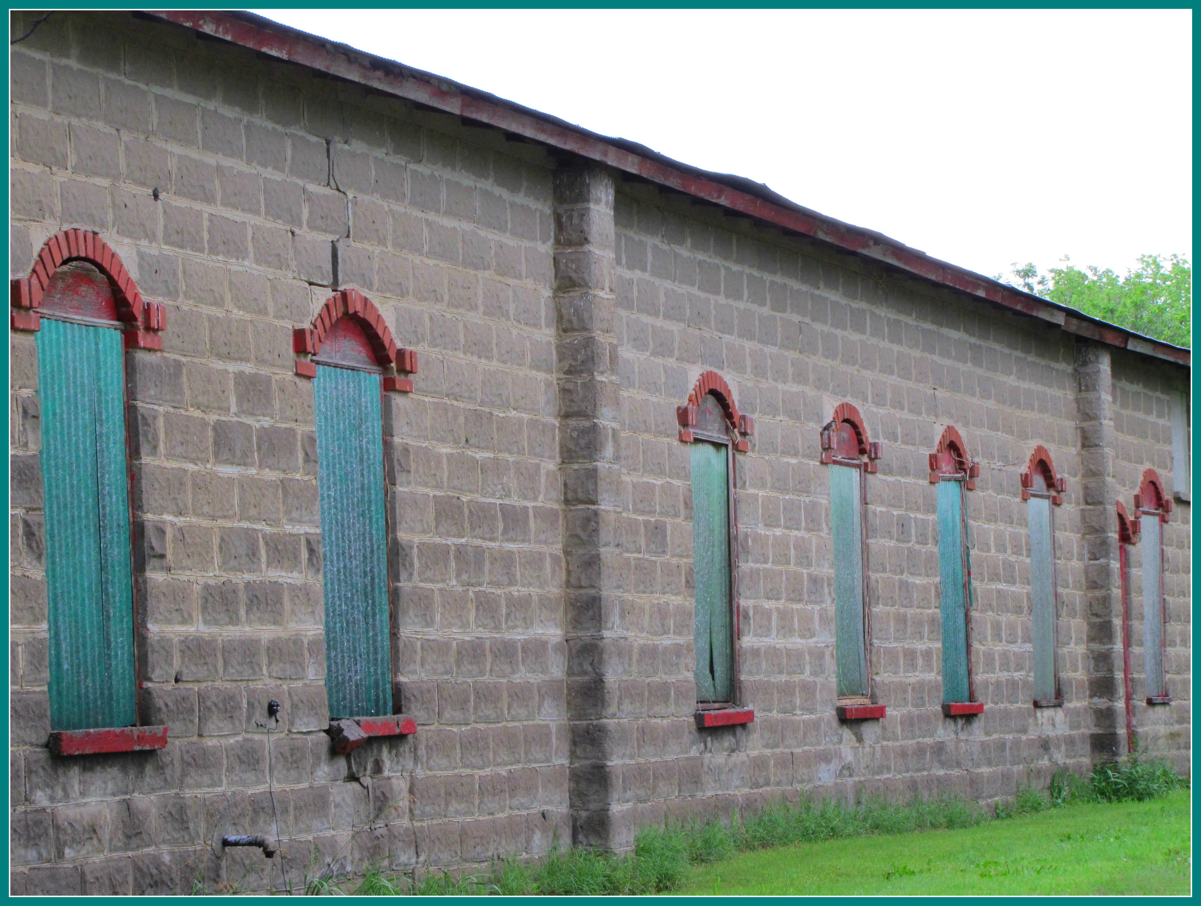
Window detail on storage building
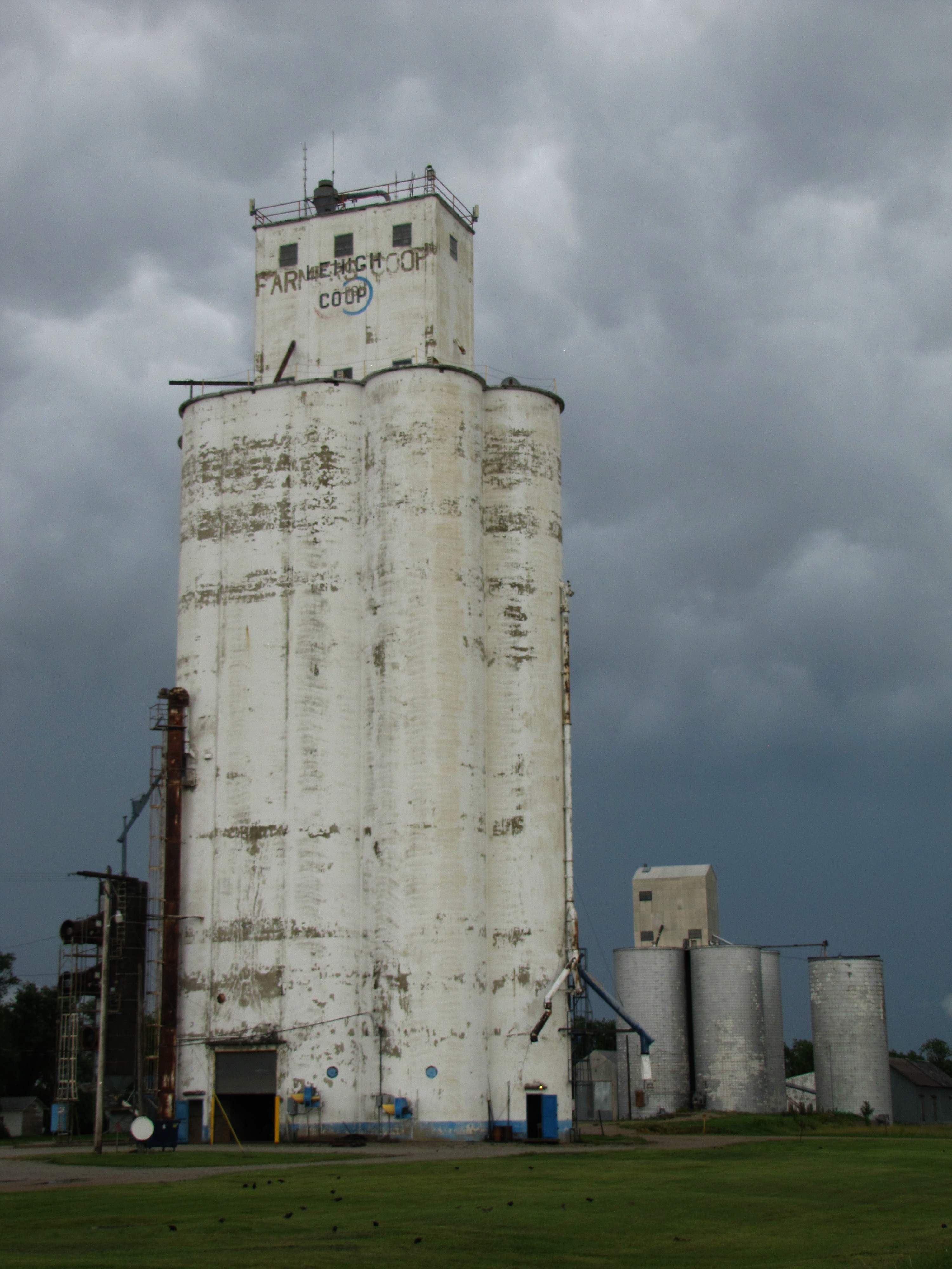
Storm approaches elevator

Image acquired by Sentinel-2A on 2019 January 10 at 17:22 UTC. Centre coordinates: 38.34 N, 97.22 W.

#CGEaglesSoar

Aug PD: Flexible sessions based on choice, edcamp setup. Twitter was a choice in 2 of 3 sessions—full table both times. These teachers are curious and open to learning, connecting, new ideas. Wonderful atmosphere and people. #CGEaglesSoar August 2018

Aug PD: Flexible sessions based on choice, edcamp setup. Twitter was a choice in 2 of 3 sessions—full table both times. These teachers are curious and open to learning, connecting, new ideas. Wonderful atmosphere and people. #CGEaglesSoar August 2018

#CGEaglesSoar

Super succulent window cactus display at Canton Galva JrSr High School! 2018-19

Welcome Back!!! Canton Galva Schools 2018-19

Shoes in the hall. No shoes feels like home. ????
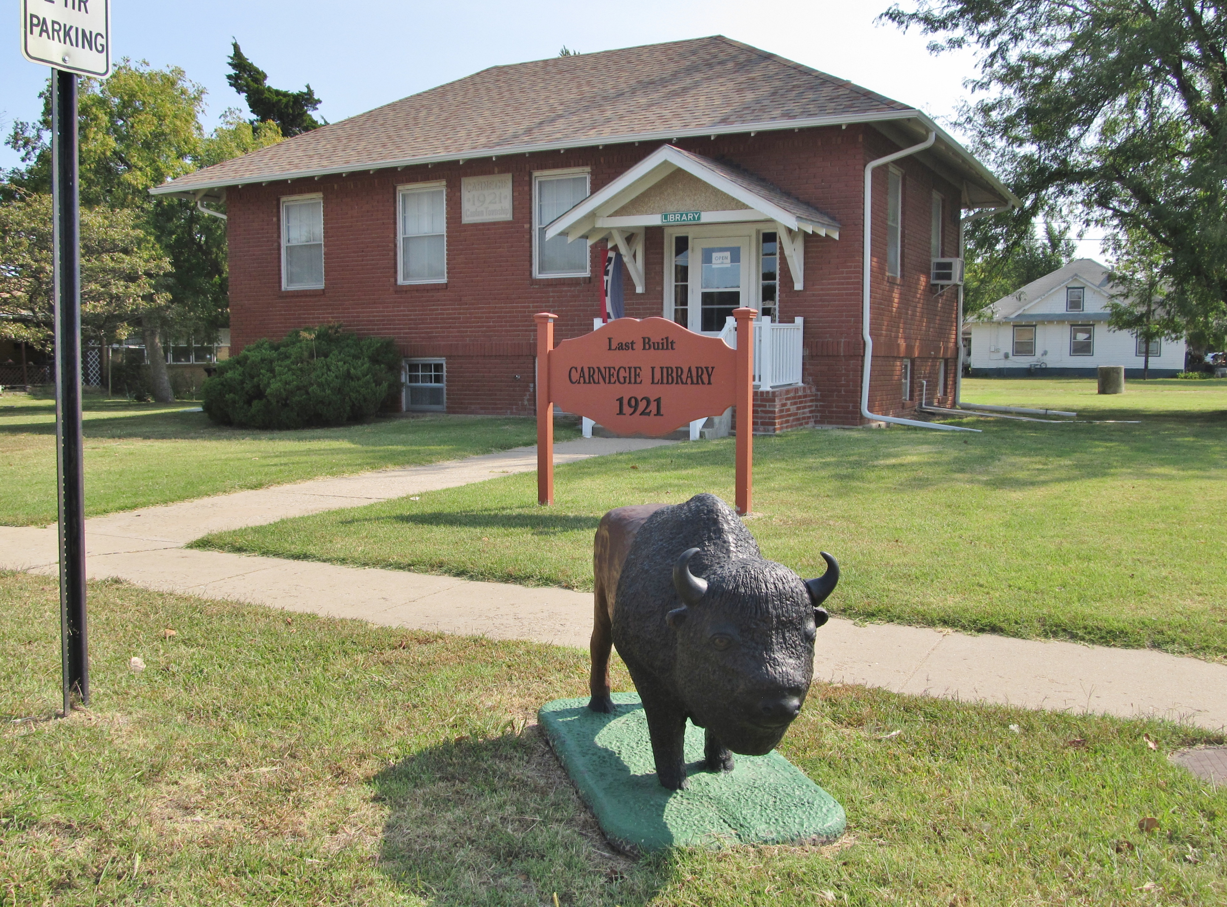
Canton, Kansas
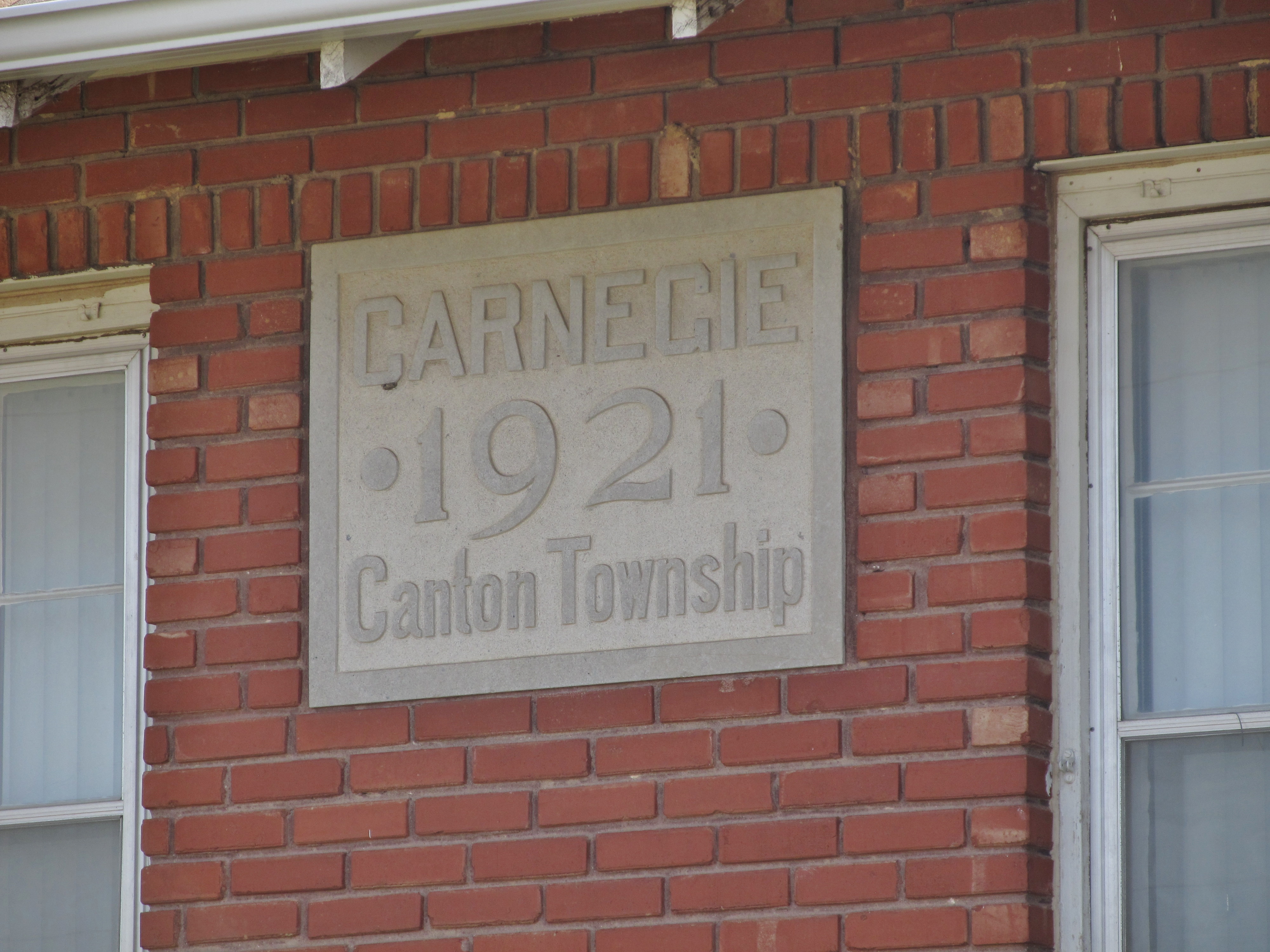
Canton, Kansas
Canton, Kansas

Wiens Stadium, Hillsboro (Kan.), 26 November 2017

Wiens Stadium, Hillsboro (Kan.), 26 November 2017

Wiens Stadium, Hillsboro (Kan.), 26 November 2017

Wiens Stadium, Hillsboro (Kan.), 26 November 2017
Topographic Map of th Street & Eagle Road, th St & Eagle Rd, Menno, KS, USA
Find elevation by address:

Places near th Street & Eagle Road, th St & Eagle Rd, Menno, KS, USA:
Menno
Lehigh
Hillsboro, KS, USA
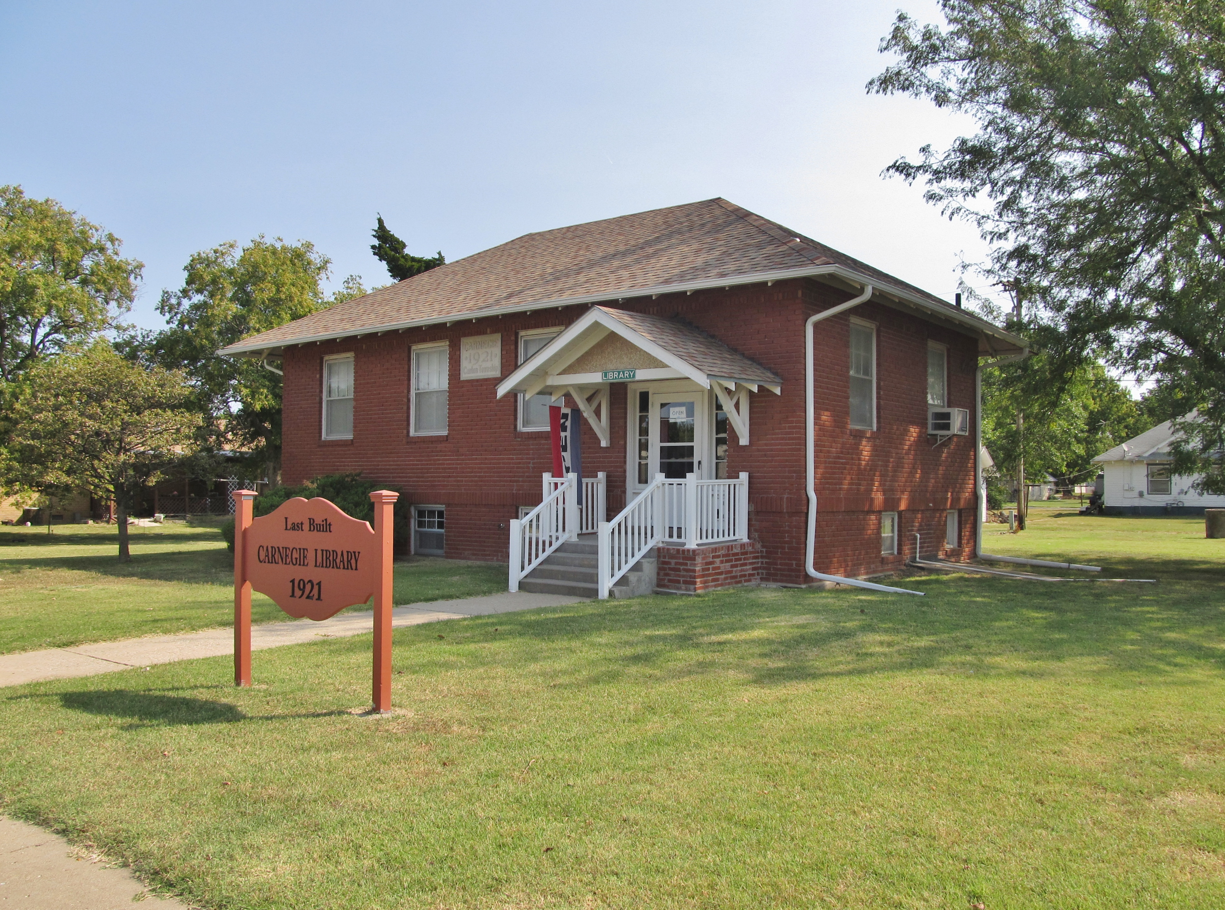
405 S Ash St
Hillsboro
Lehigh
Marion County
Bison Rd, Lehigh, KS, USA
Canton
N Main St, Hillsboro, KS, USA
Canton
Nighthawk Rd, Hillsboro, KS, USA
Gale
Walton
Main St, Walton, KS, USA
Walton
Emma
Peabody
Hesston
US-56, Galva, KS, USA
Recent Searches:
- Elevation of Kambingan Sa Pansol Atbp., Purok 7 Pansol, Candaba, Pampanga, Philippines
- Elevation of Pinewood Dr, New Bern, NC, USA
- Elevation of Mountain View, CA, USA
- Elevation of Foligno, Province of Perugia, Italy
- Elevation of Blauwestad, Netherlands
- Elevation of Bella Terra Blvd, Estero, FL, USA
- Elevation of Estates Loop, Priest River, ID, USA
- Elevation of Woodland Oak Pl, Thousand Oaks, CA, USA
- Elevation of Brownsdale Rd, Renfrew, PA, USA
- Elevation of Corcoran Ln, Suffolk, VA, USA