Elevation of Emma, KS, USA
Location: United States > Kansas > Harvey County >
Longitude: -97.416505
Latitude: 38.1457297
Elevation: 448m / 1470feet
Barometric Pressure: 96KPa
Elevation Map:
Satellite Map:
Related Photos:
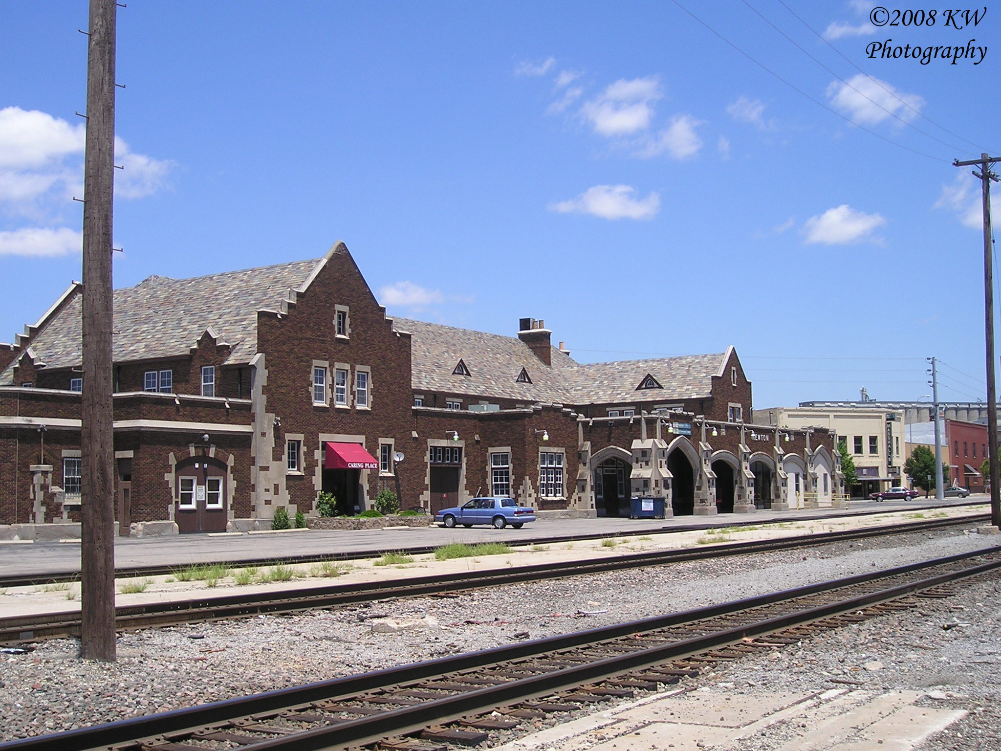
Santa Fe Depot
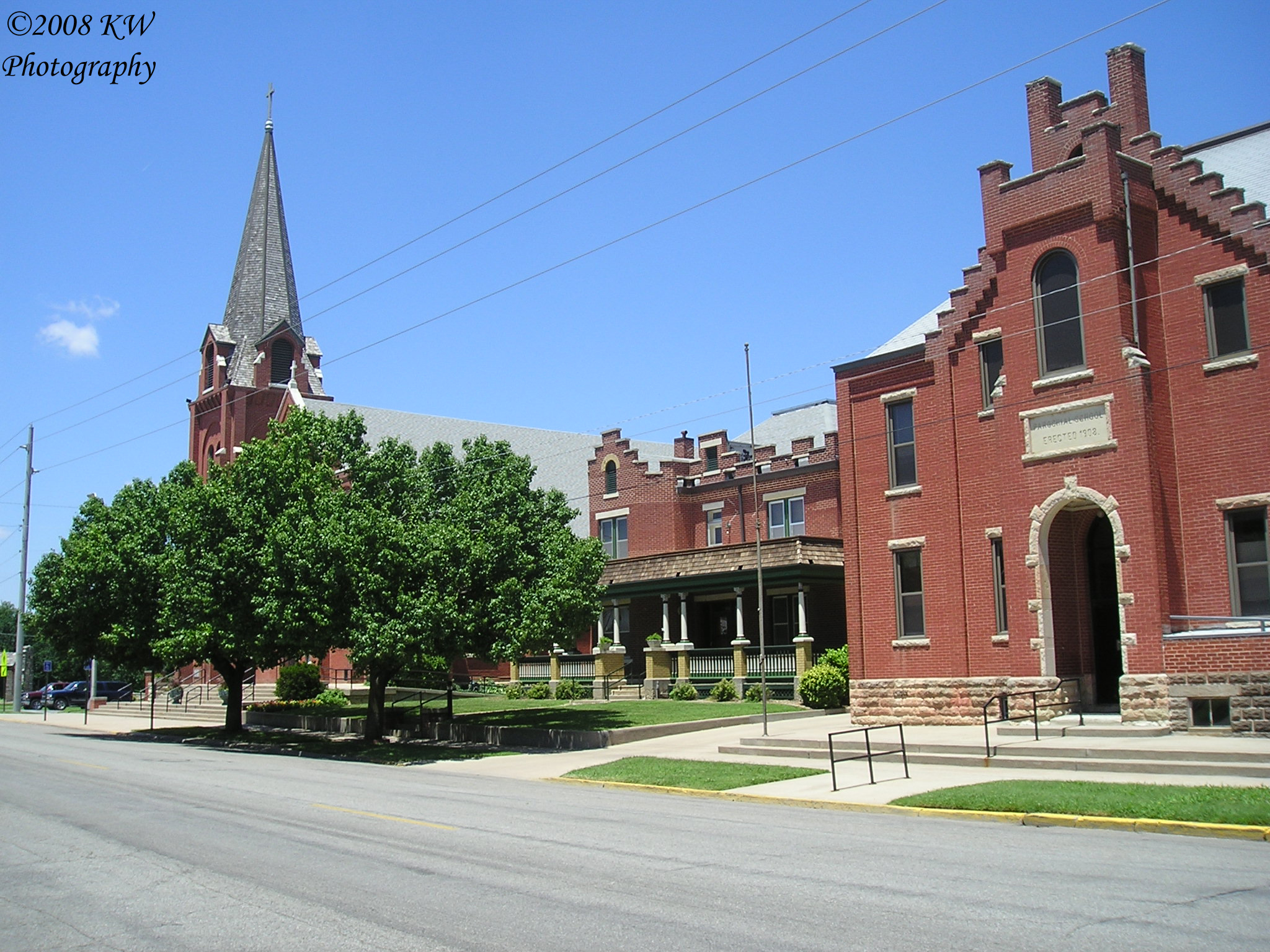
St. Mary's Catholic Church Complex
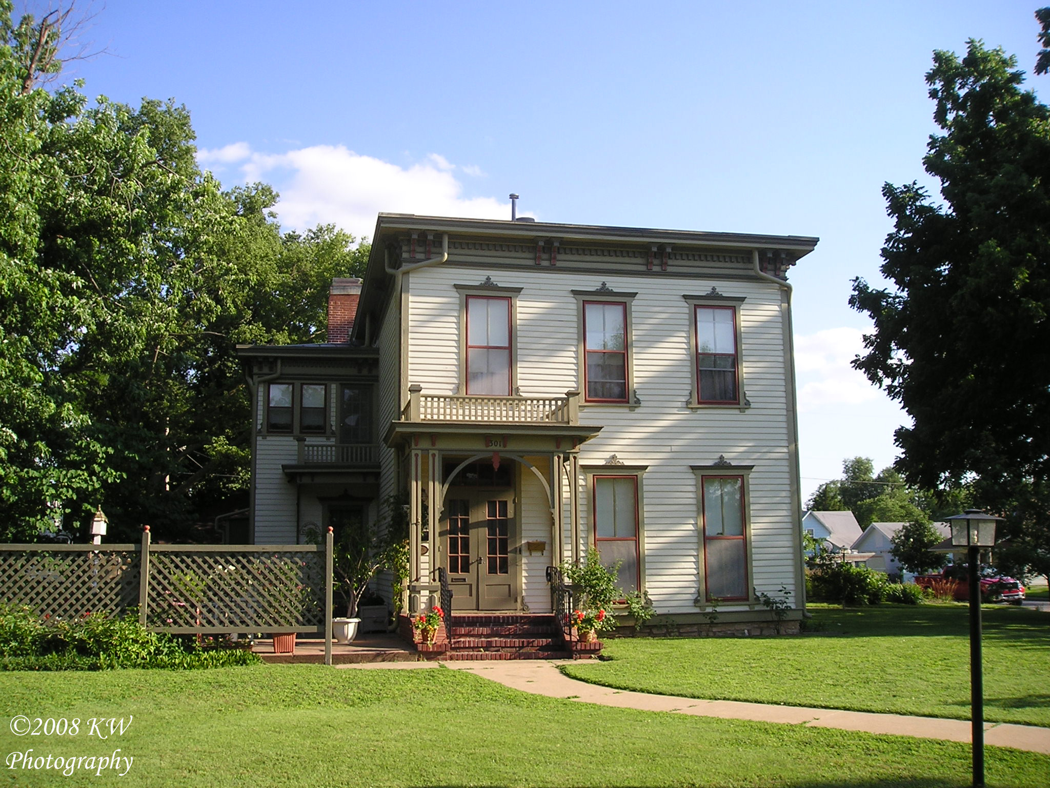
Neal House
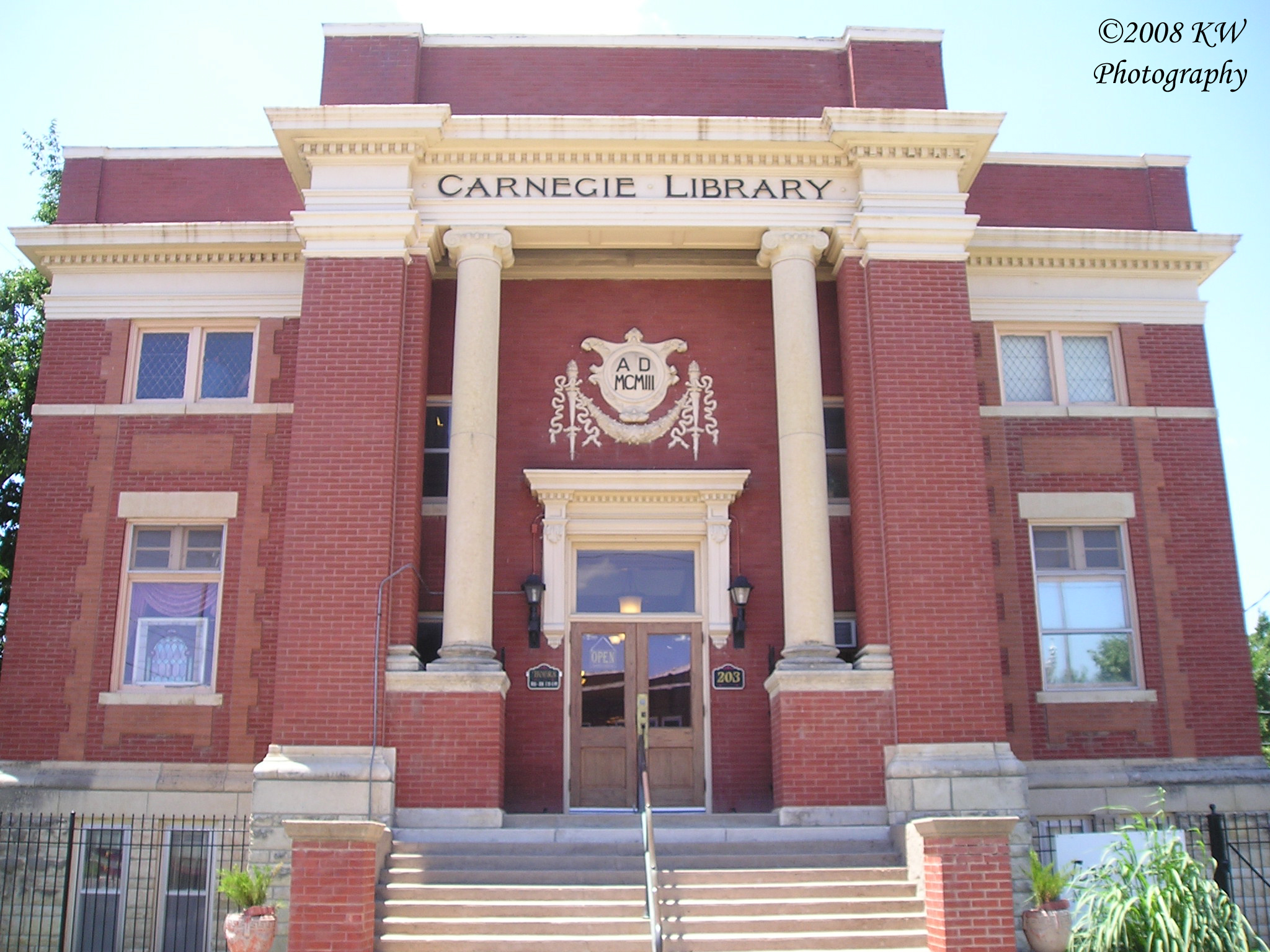
Carnegie Library
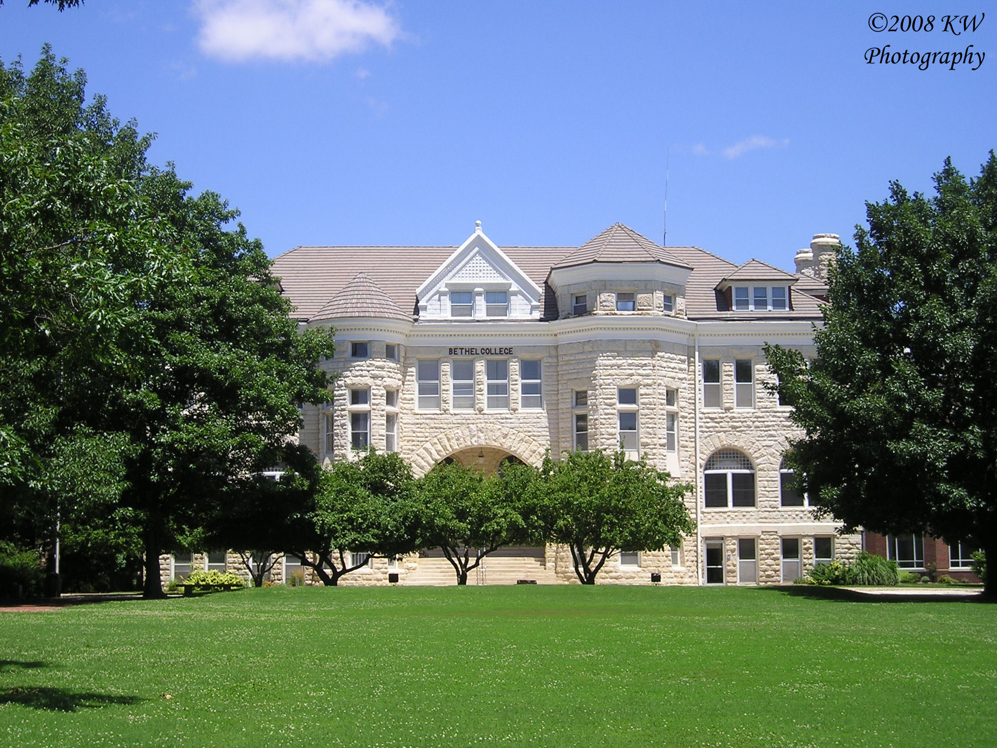
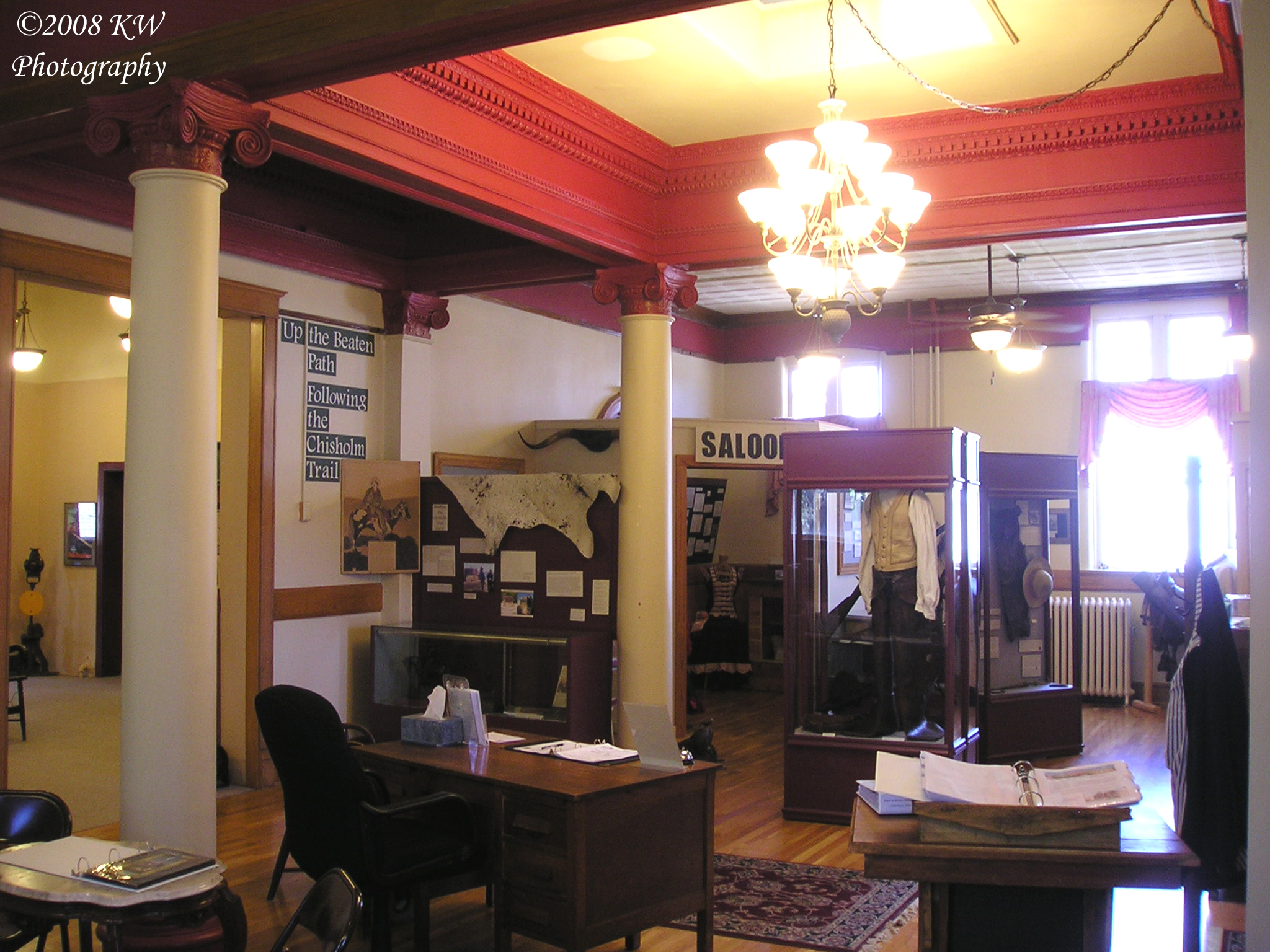
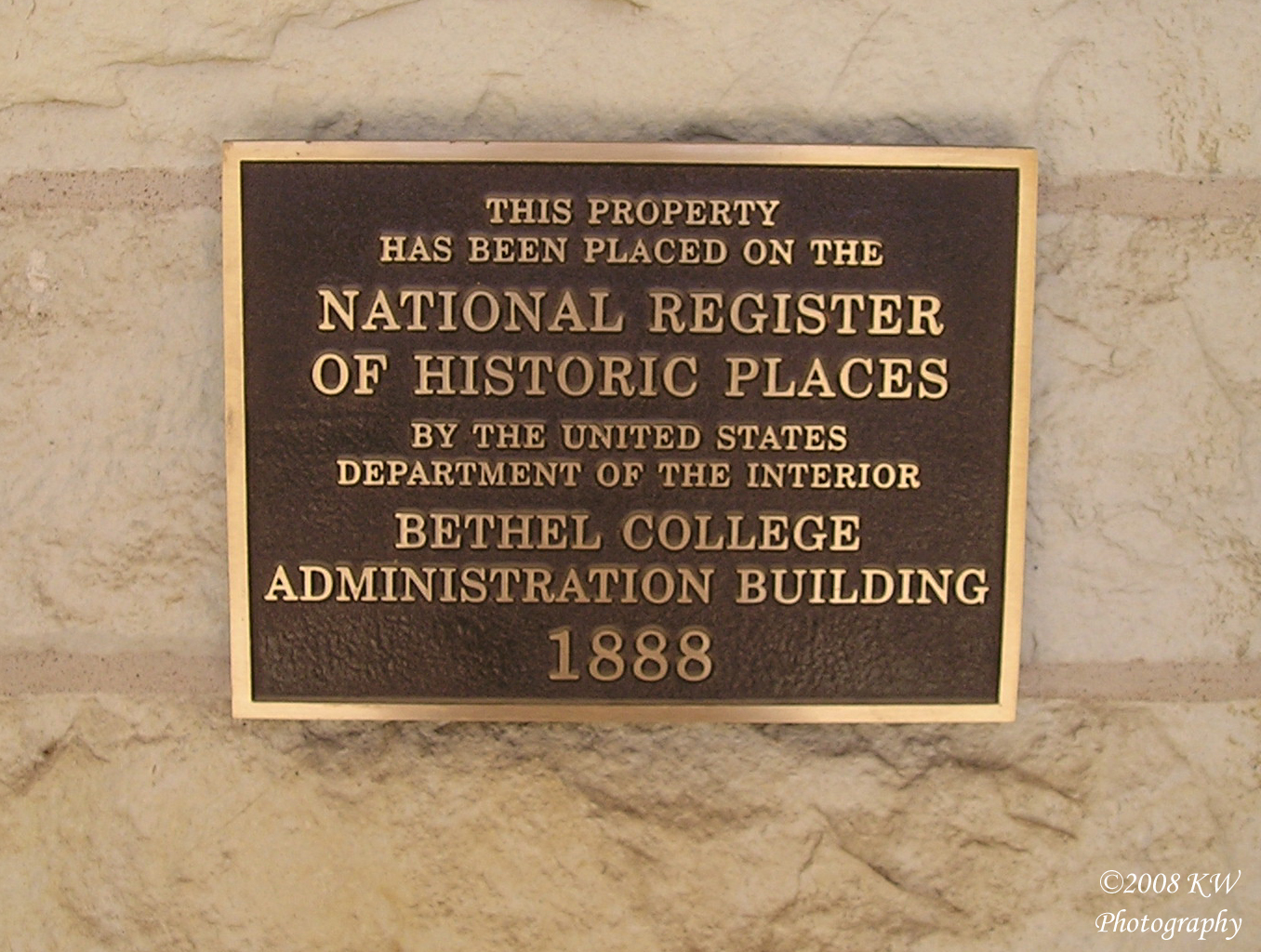
Administration Building
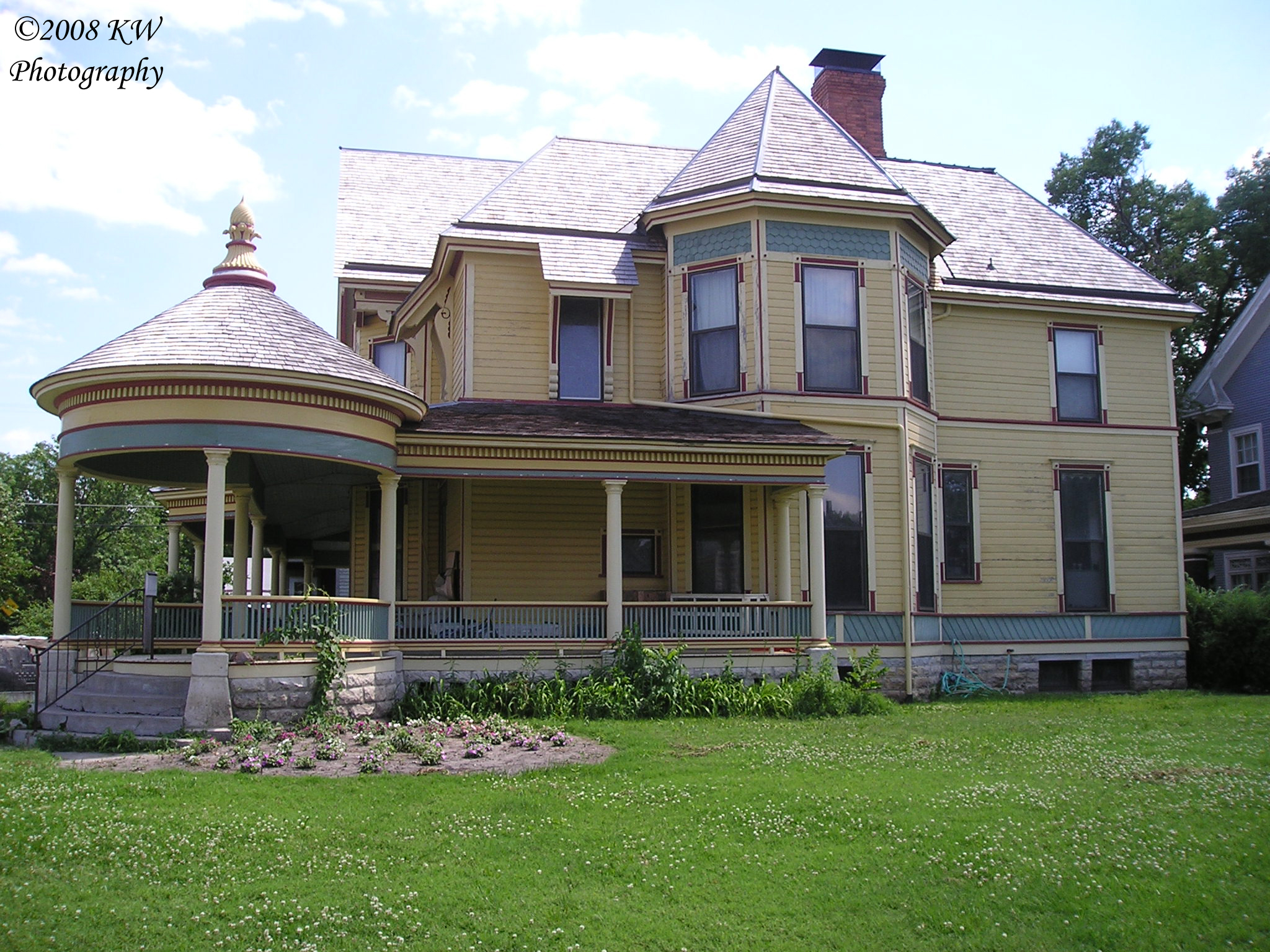
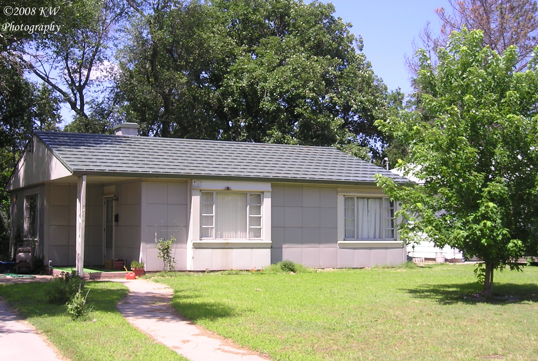
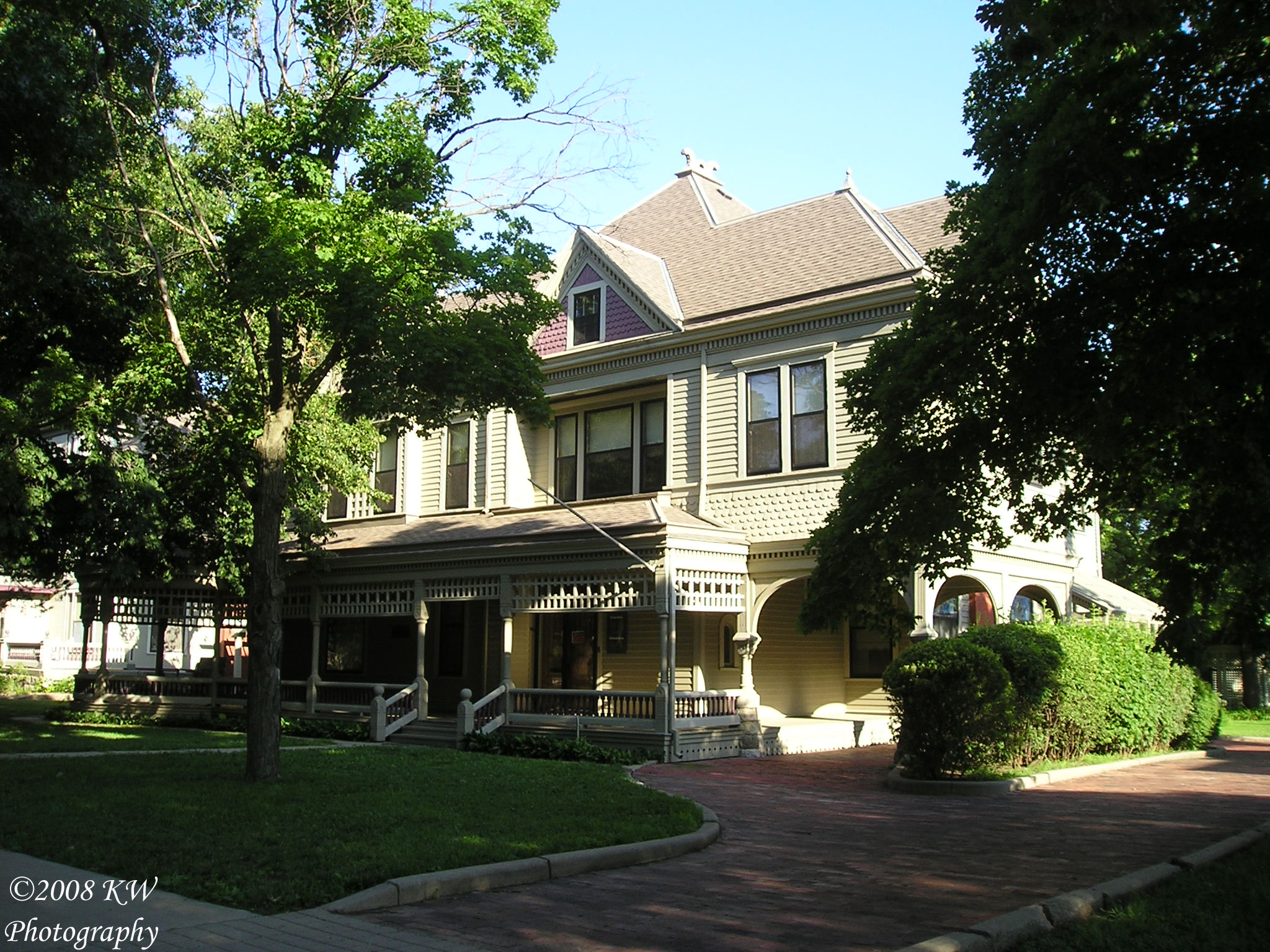
Hoag House
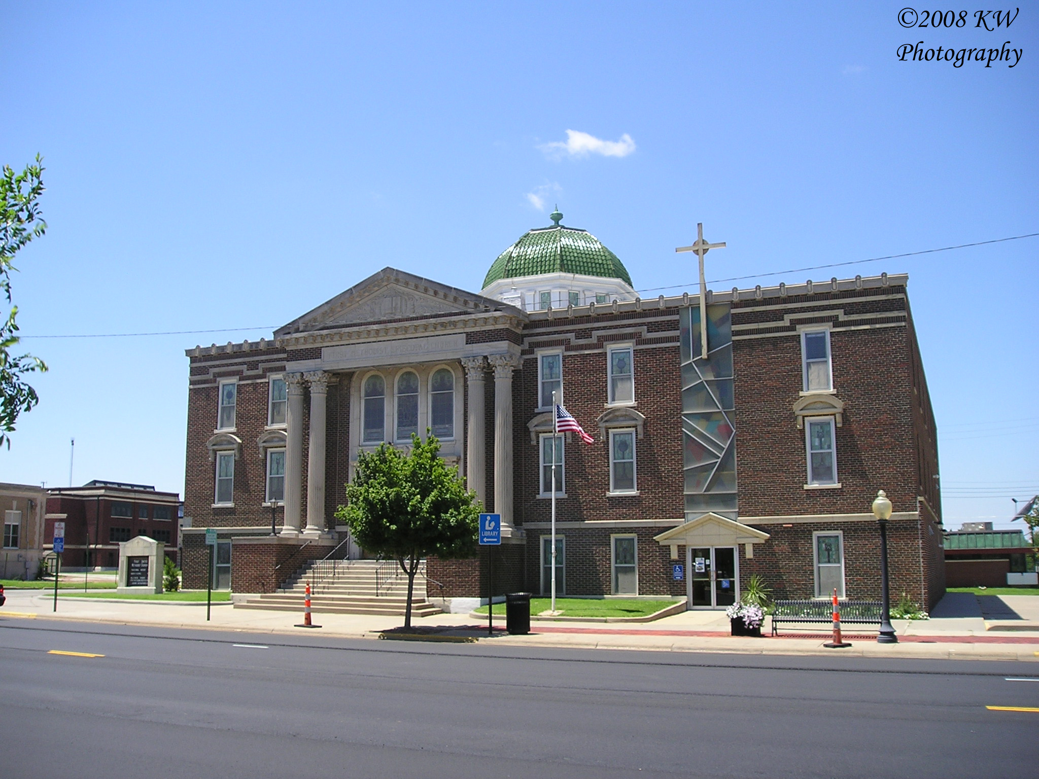
First United Methodist Church
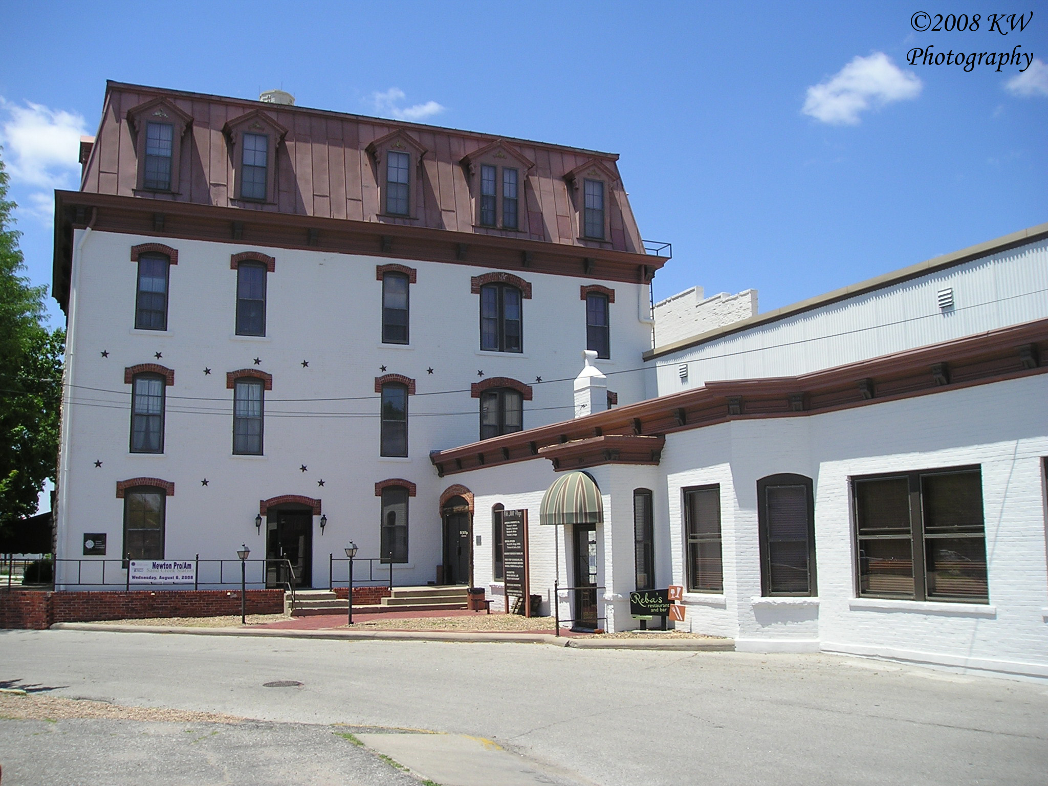
Old Mill Plaza
Coleman House
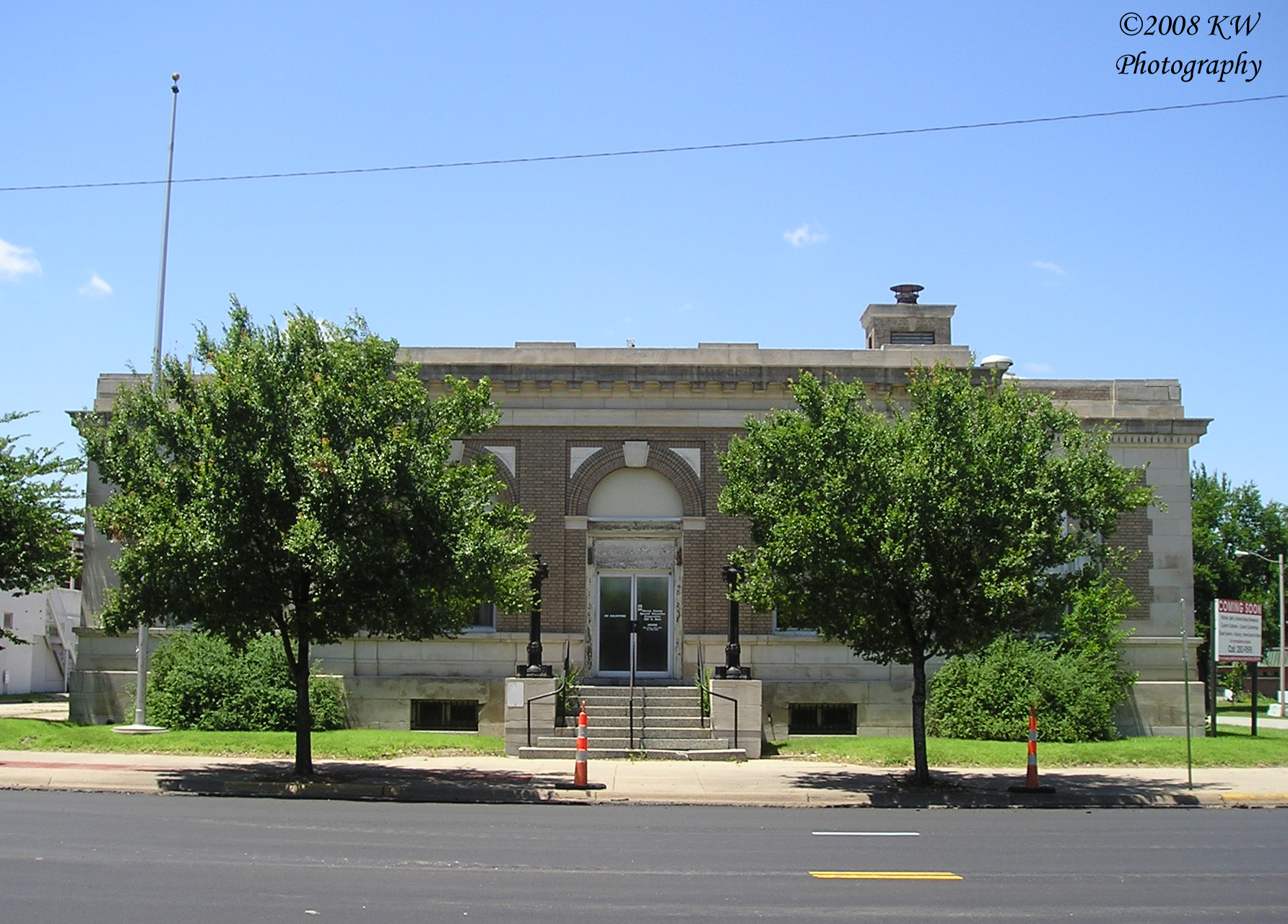
Old Post Office
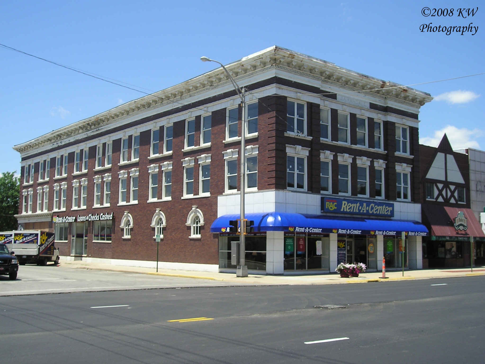
J.A. Randall Building
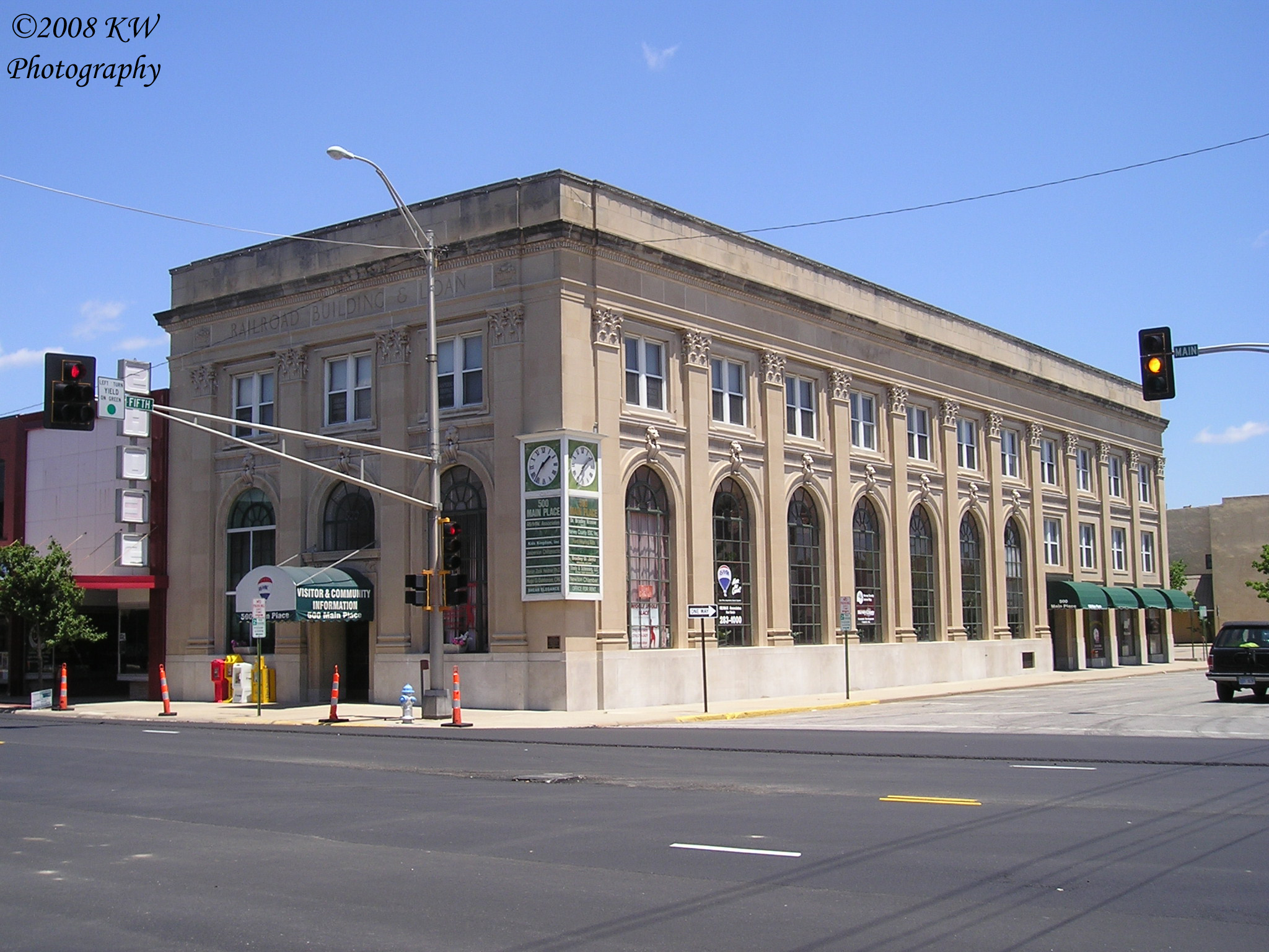
500 Main Place

Fox Marquee
Carnegie Interior
Historical Marker

Light, lines, shadows & reflections. This is a view under one of the bridges over Sand Creek in Newton. Converted to black-and-white. #water #reflections #lines #light #b&w #blackandwhitephotography
Warkentin House
Historical Plaque
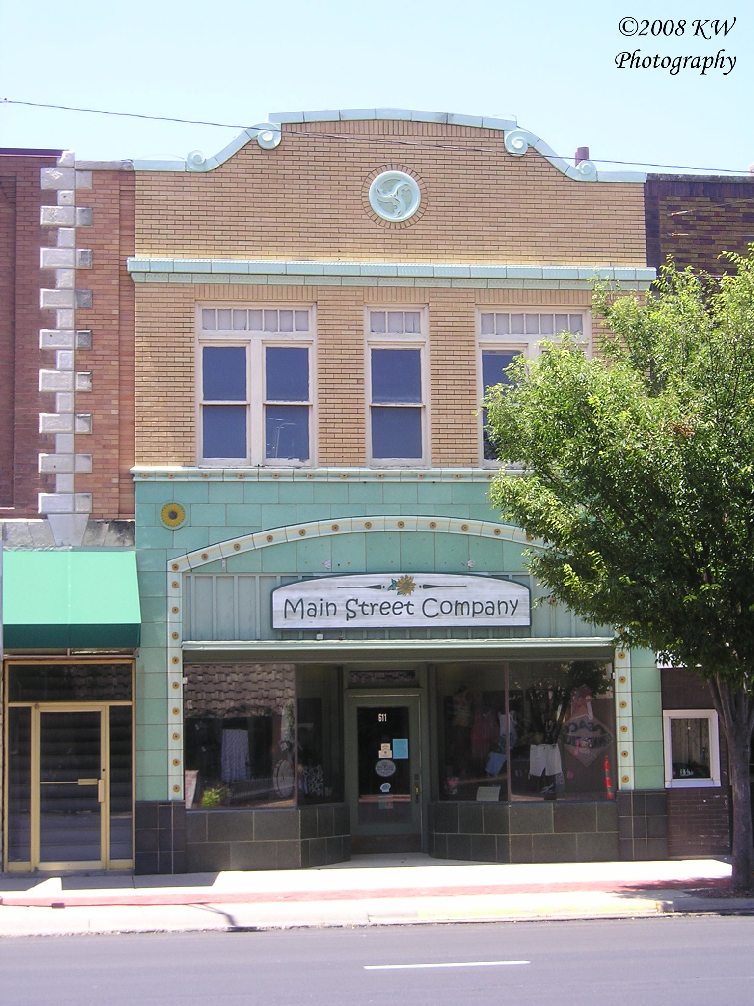
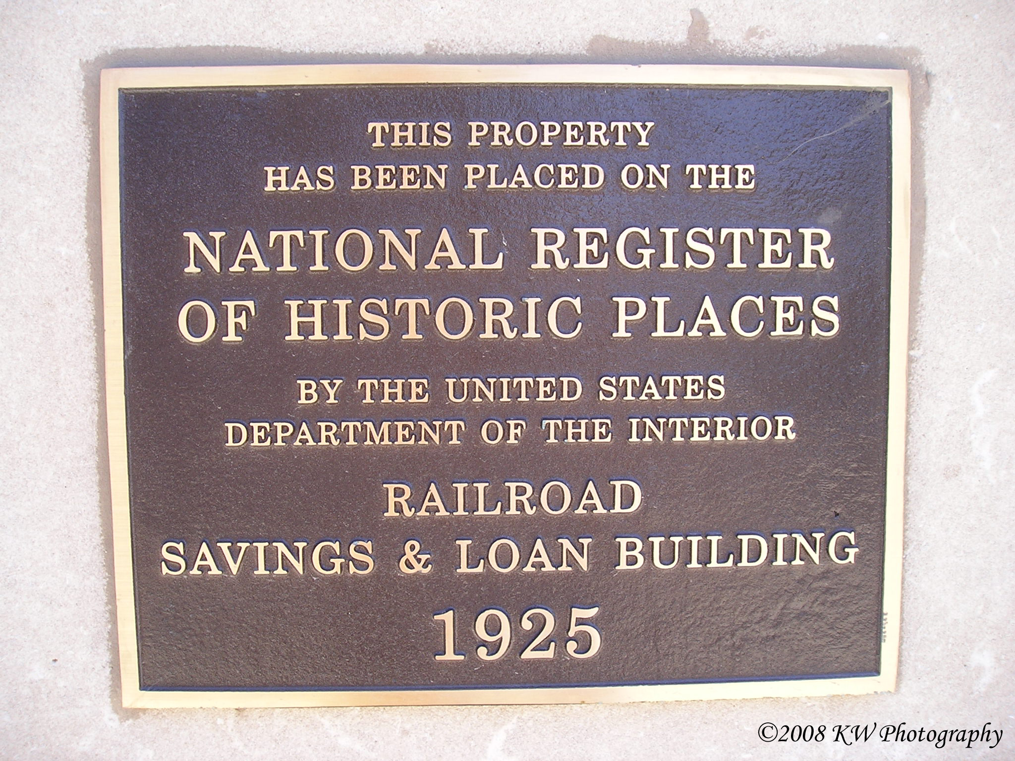
Terra Cotta Building

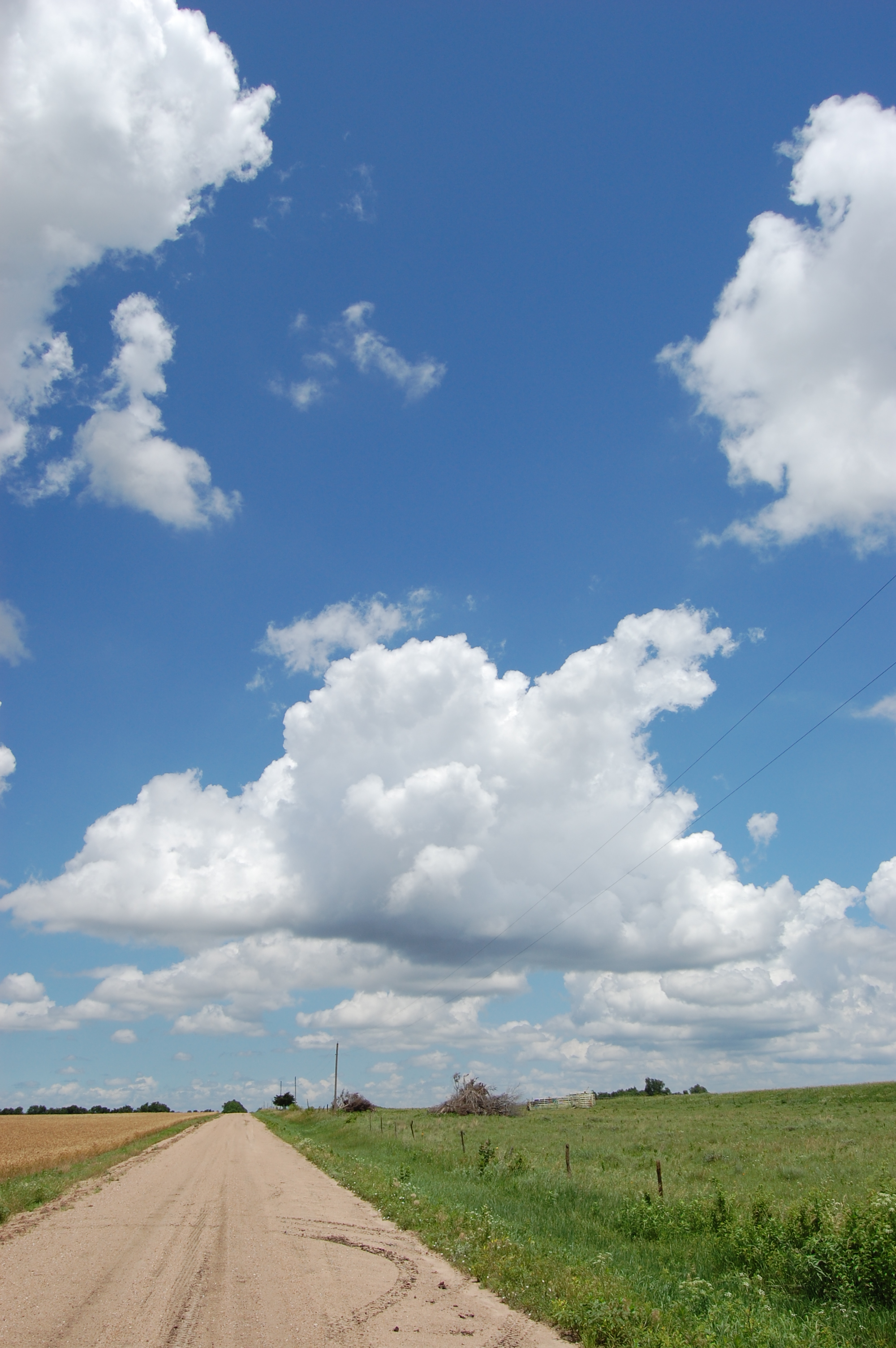
Untitled Landscape No. 2
Untitled Landscape No. 1

Sand Creek Trail B&W 2012-12-02 001
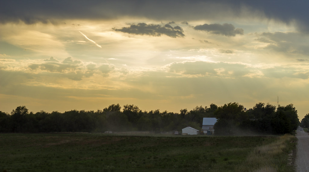
Cool clouds 2

Horse Hair in snow
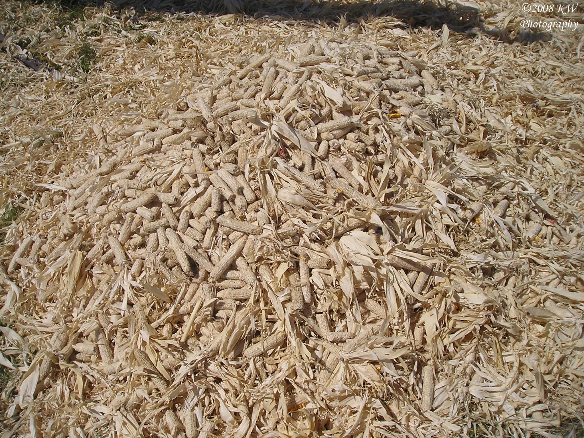
Corn Cobs

Self Powered Combine
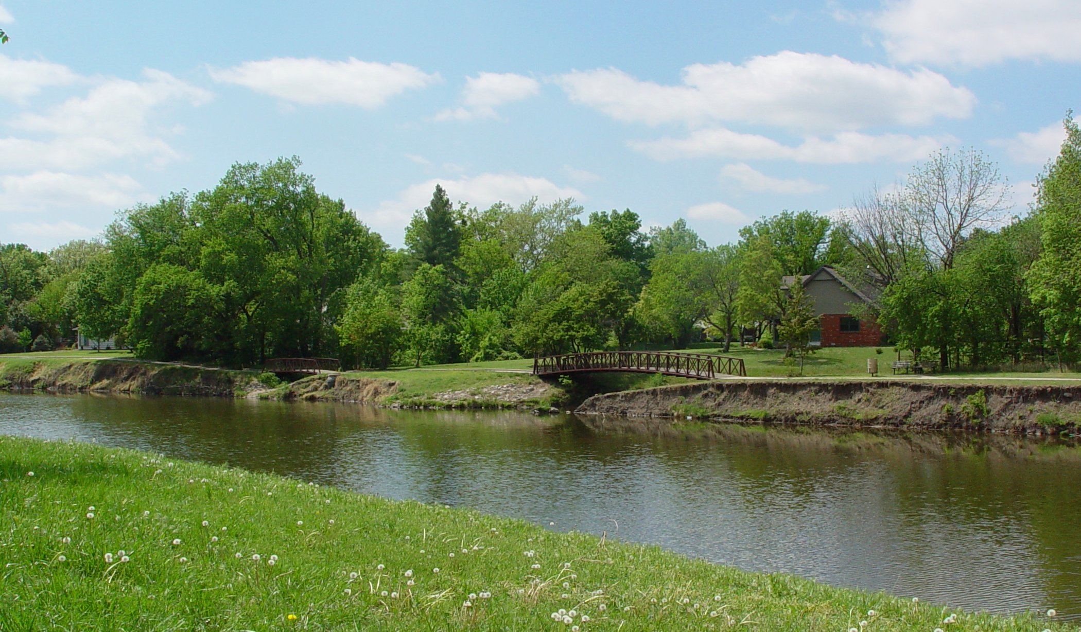
Bike path bridges
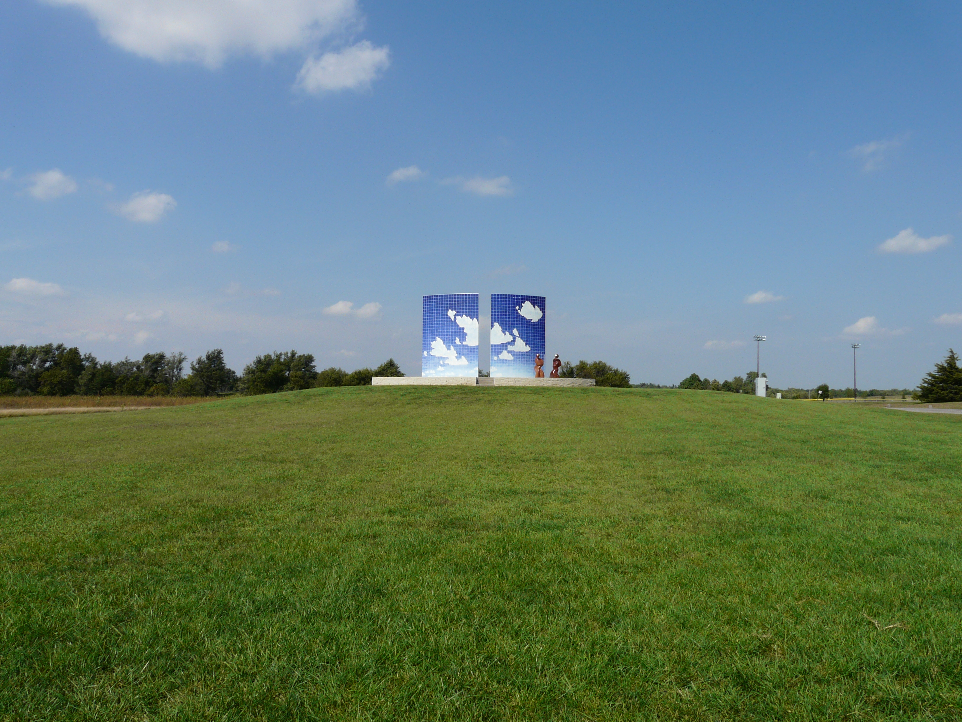
Blue Sky Tile Sculpture 1
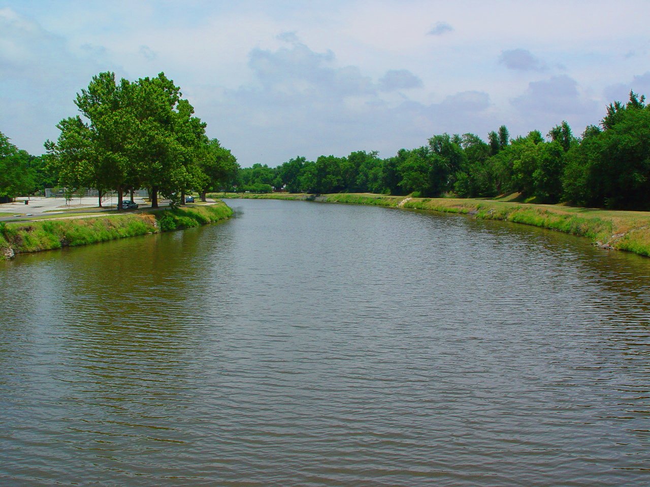
Sand Creek

IMG_0797.jpg

Evening Sun on Sand Creek Trail 2013-01-06
Camera Roll-699
Topographic Map of Emma, KS, USA
Find elevation by address:

Places in Emma, KS, USA:
Places near Emma, KS, USA:
Hesston
N Hesston Rd, Newton, KS, USA
Macon
209 W 26th St
1128 Columbus Ct
North Newton
N Main St, North Newton, KS, USA
12 W 10th St Ct
2412 College Ave
1615 N Main St
Cole St, Moundridge, KS, USA
Moundridge
S Meridian Rd, Newton, KS, USA
US-50, Newton, KS, USA
Newton
920 N Duncan St
Mound
Harvey County
Halstead
Main St, Walton, KS, USA
Recent Searches:
- Elevation of S Layton Cir W, Layton, UT, USA
- Elevation of F36W+3M, Mussoorie, Uttarakhand, India
- Elevation of Fairland Ave, Fairhope, AL, USA
- Elevation of Sunset Dr, Richmond, VA, USA
- Elevation of Grodna District, Hrodna Region, Belarus
- Elevation of Hrodna, Hrodna Region, Belarus
- Elevation of Sandia Derby Estates, Tijeras, NM, USA
- Elevation of 23 Sunrise View Ct, Tijeras, NM, USA
- Elevation of Lytham Ln, Katy, TX, USA
- Elevation of Tater Hill, Oklahoma, USA