Elevation of N Duncan St, Newton, KS, USA
Location: United States > Kansas > Harvey County > Newton >
Longitude: -97.331845
Latitude: 38.0530503
Elevation: 448m / 1470feet
Barometric Pressure: 96KPa
Elevation Map:
Satellite Map:
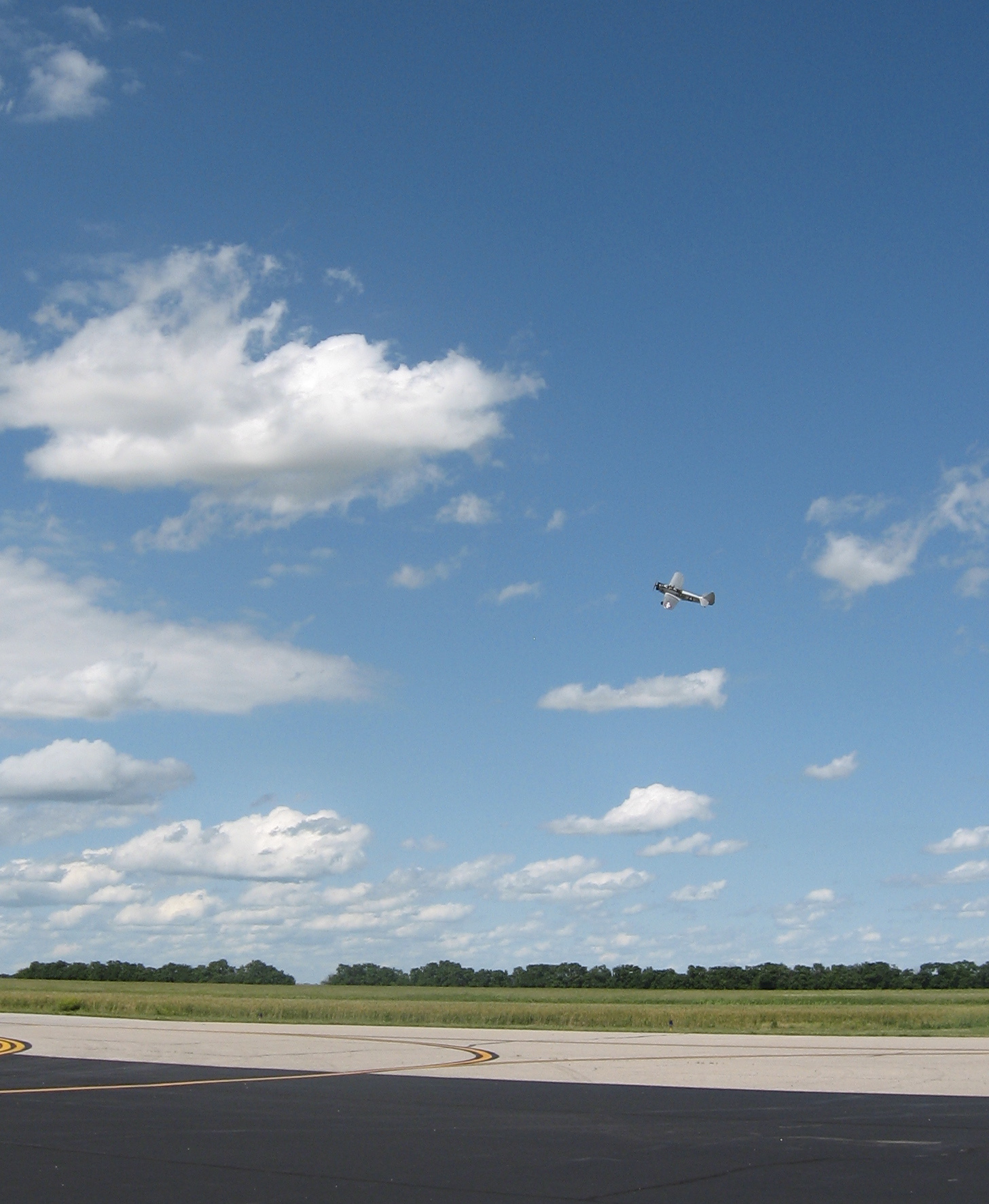
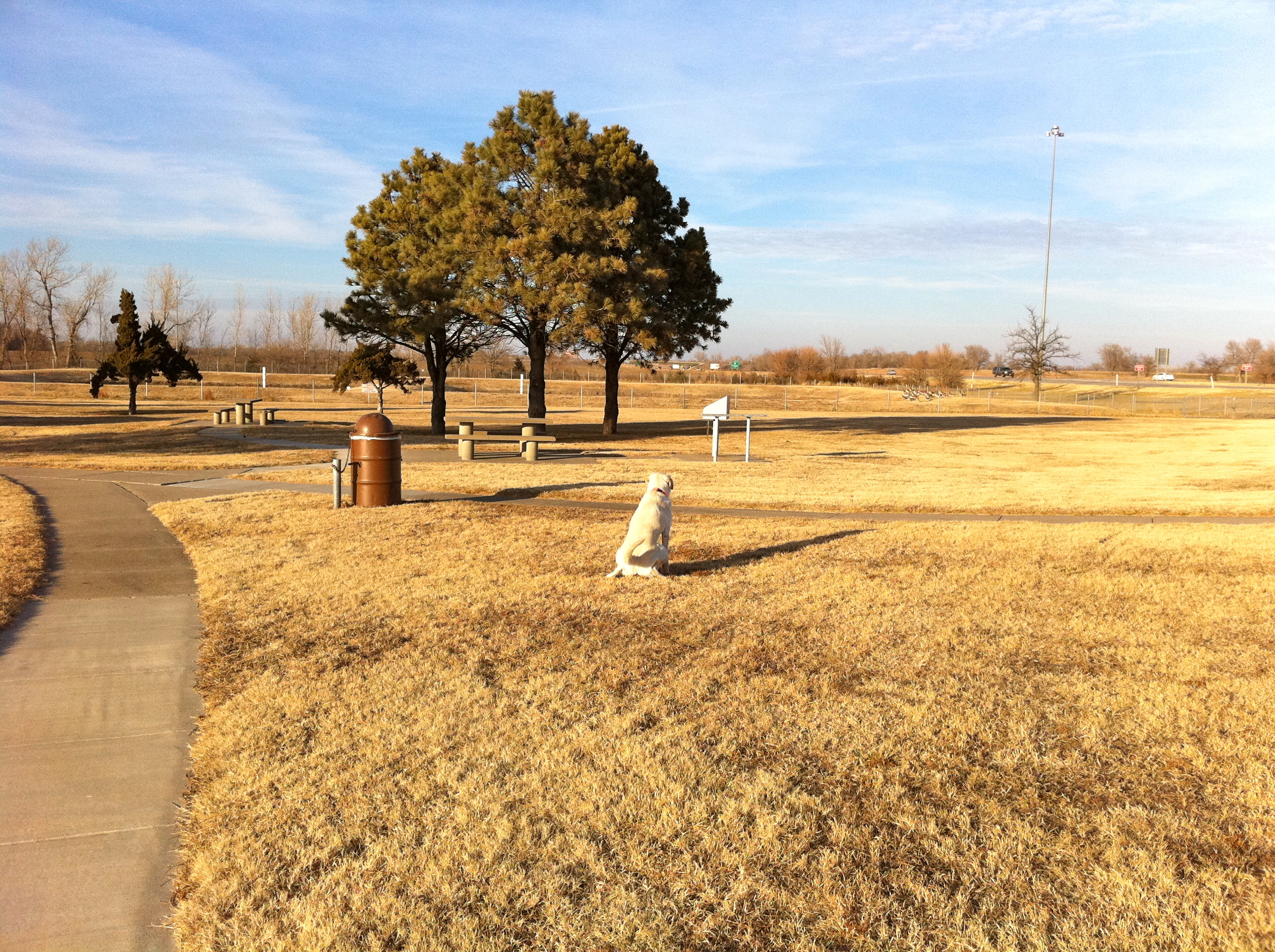
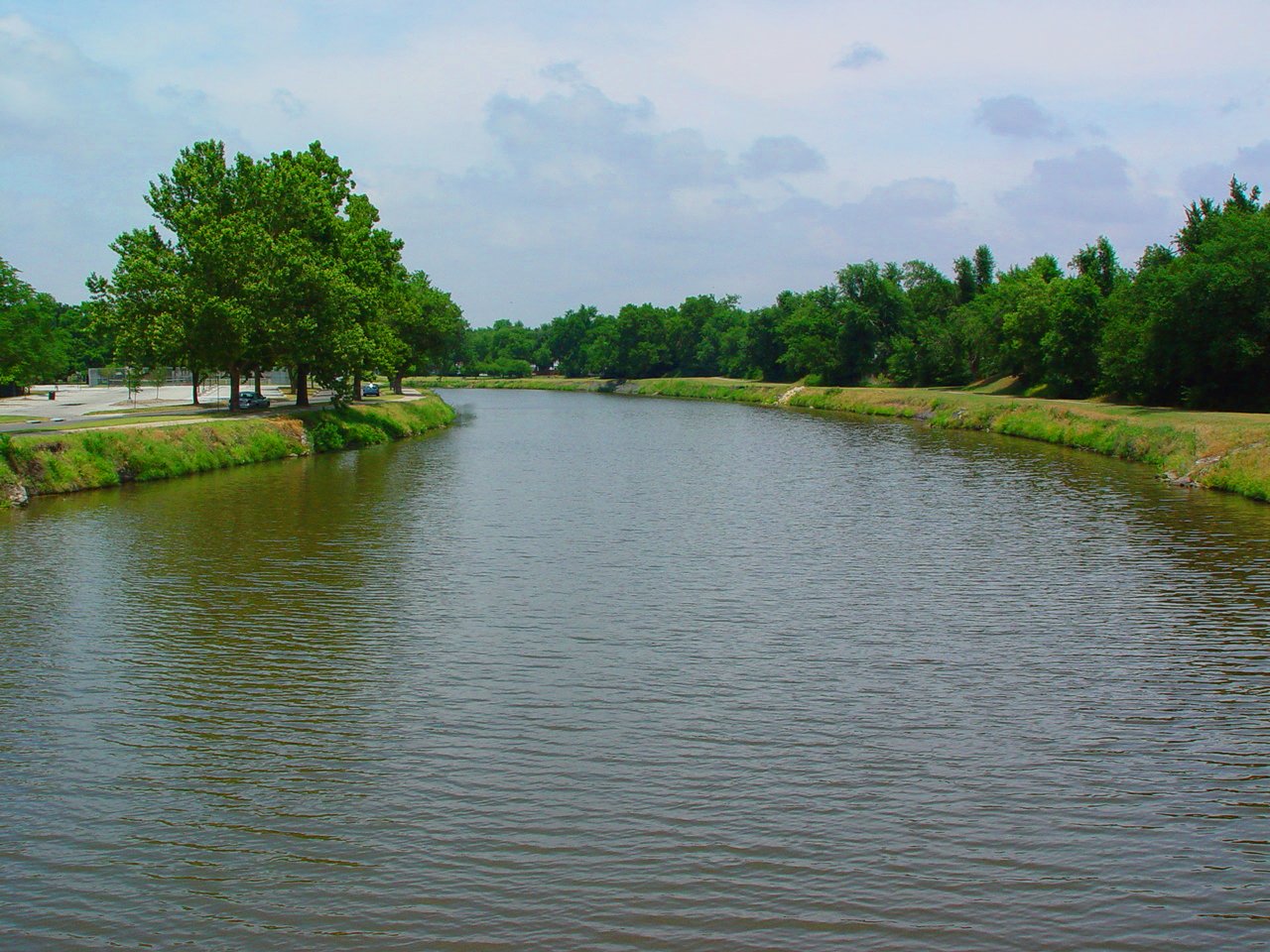
Related Photos:
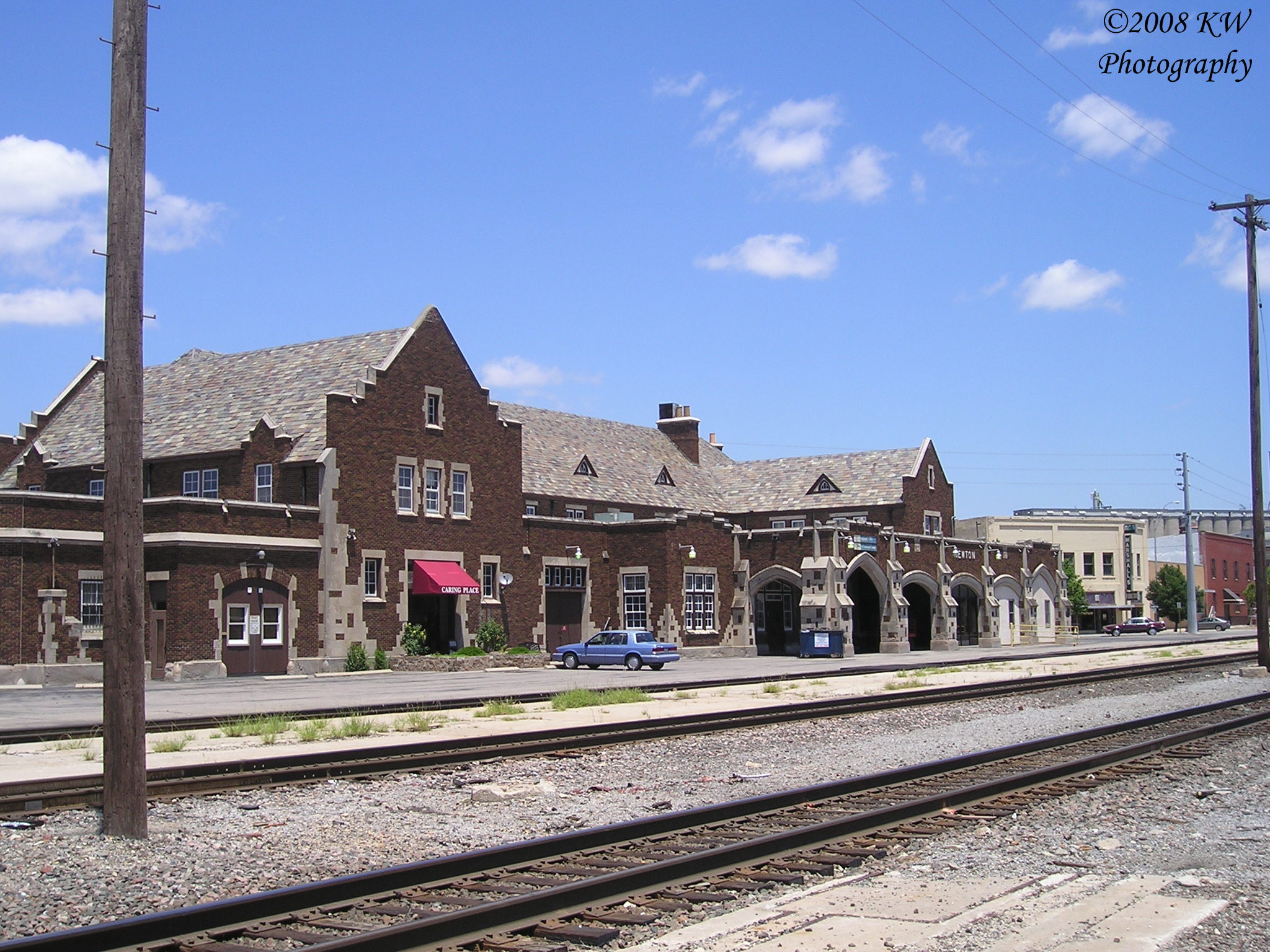
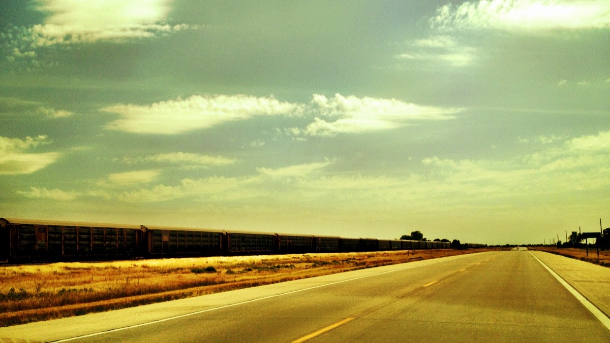
Santa Fe Depot
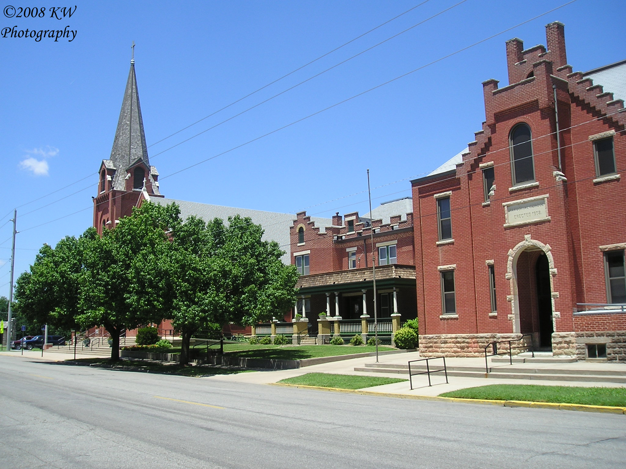
St. Mary's Catholic Church Complex
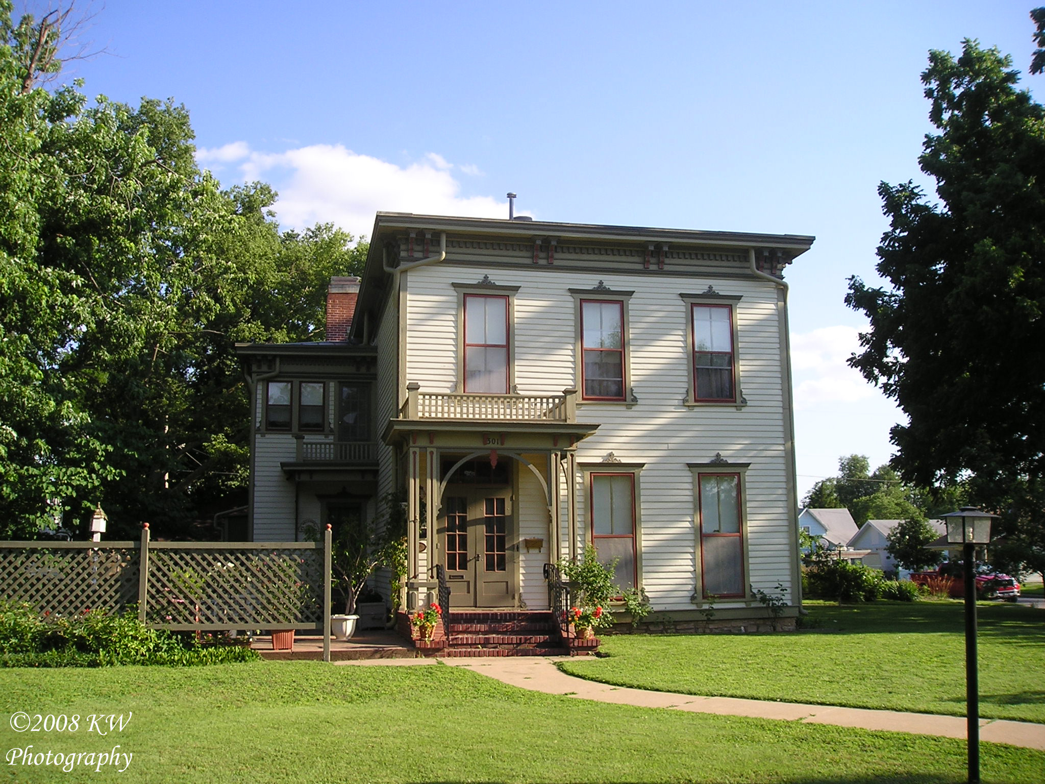
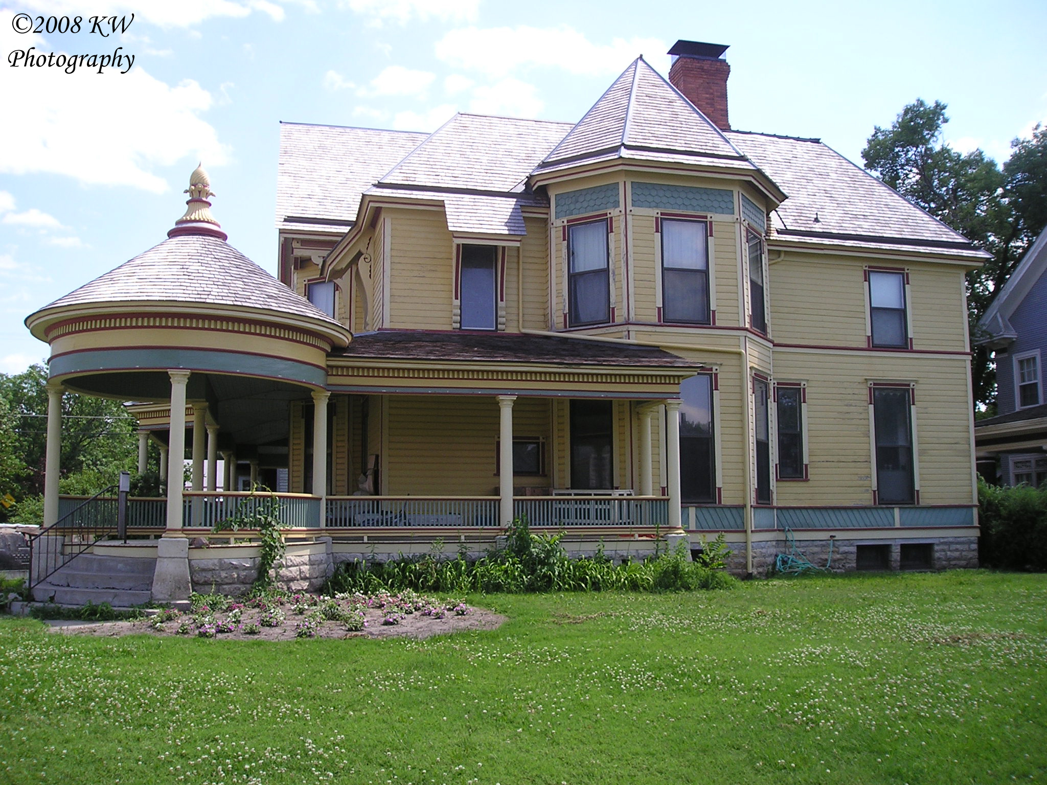
Neal House
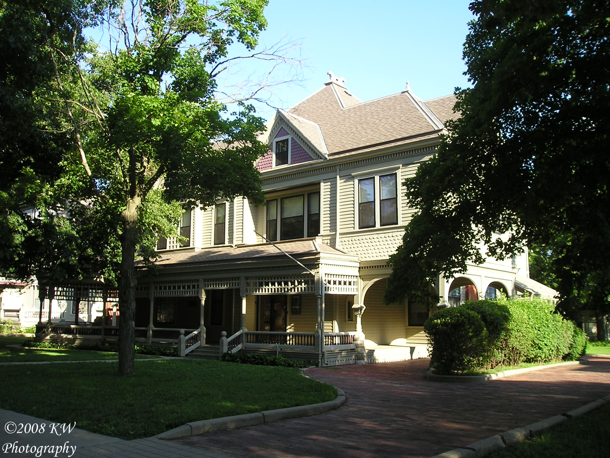
Warkentin House
Hoag House
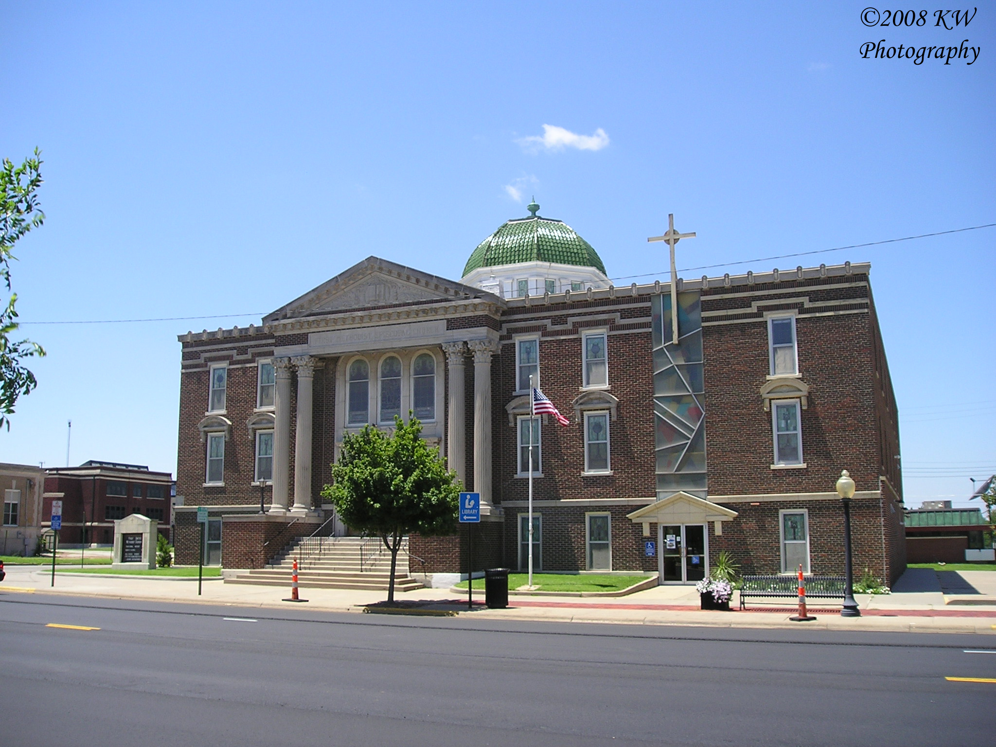
First United Methodist Church
Coleman House
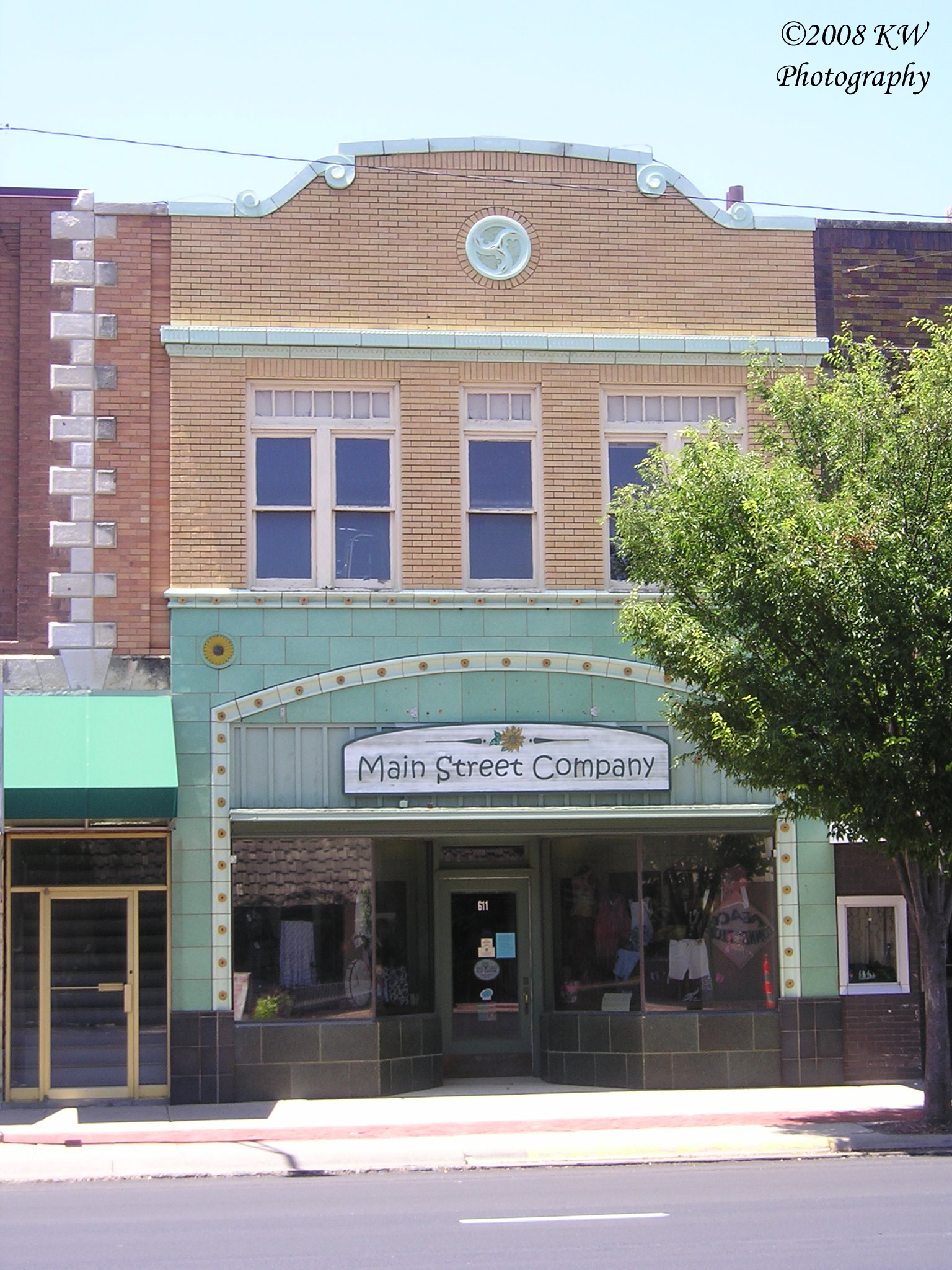
Terra Cotta Building
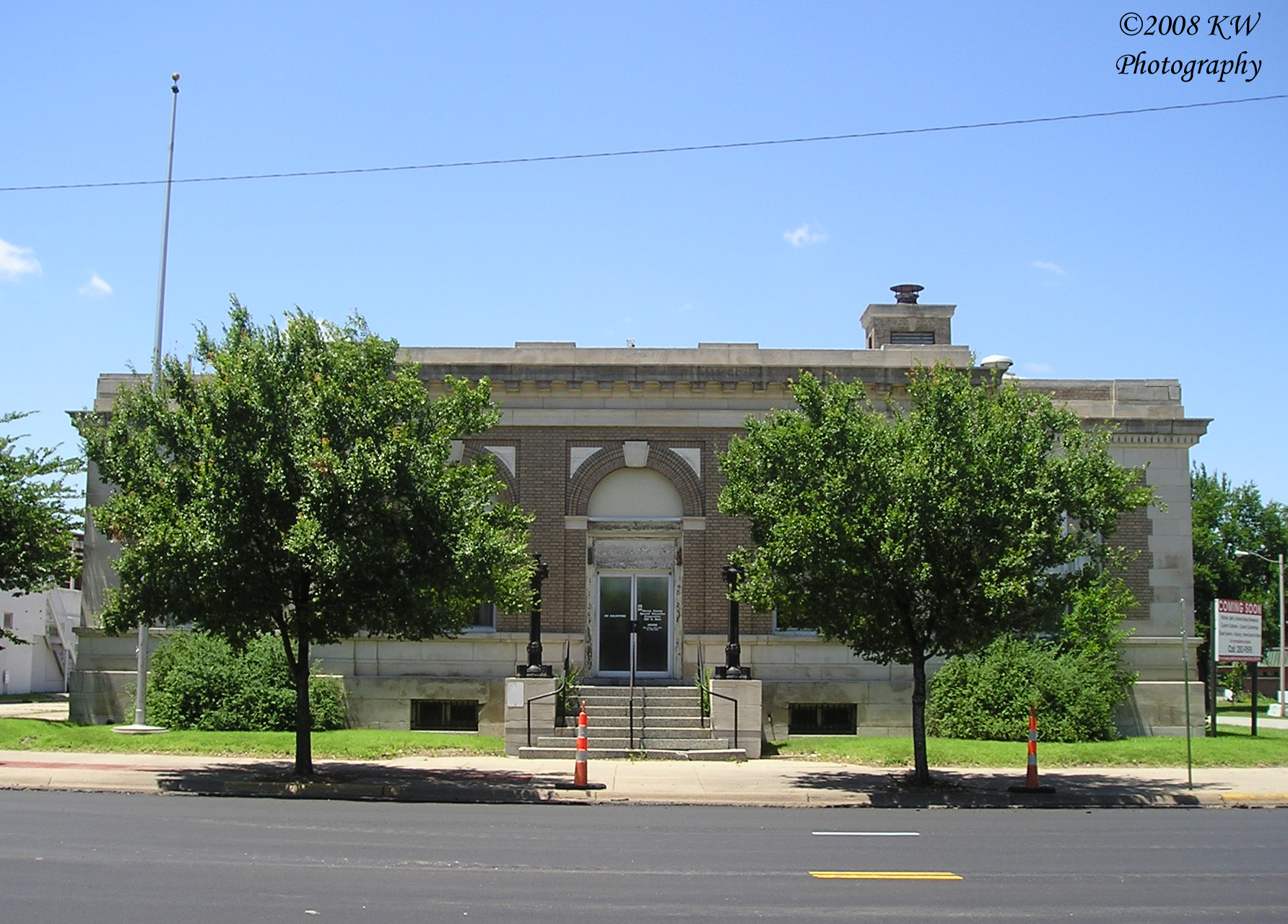
Old Post Office
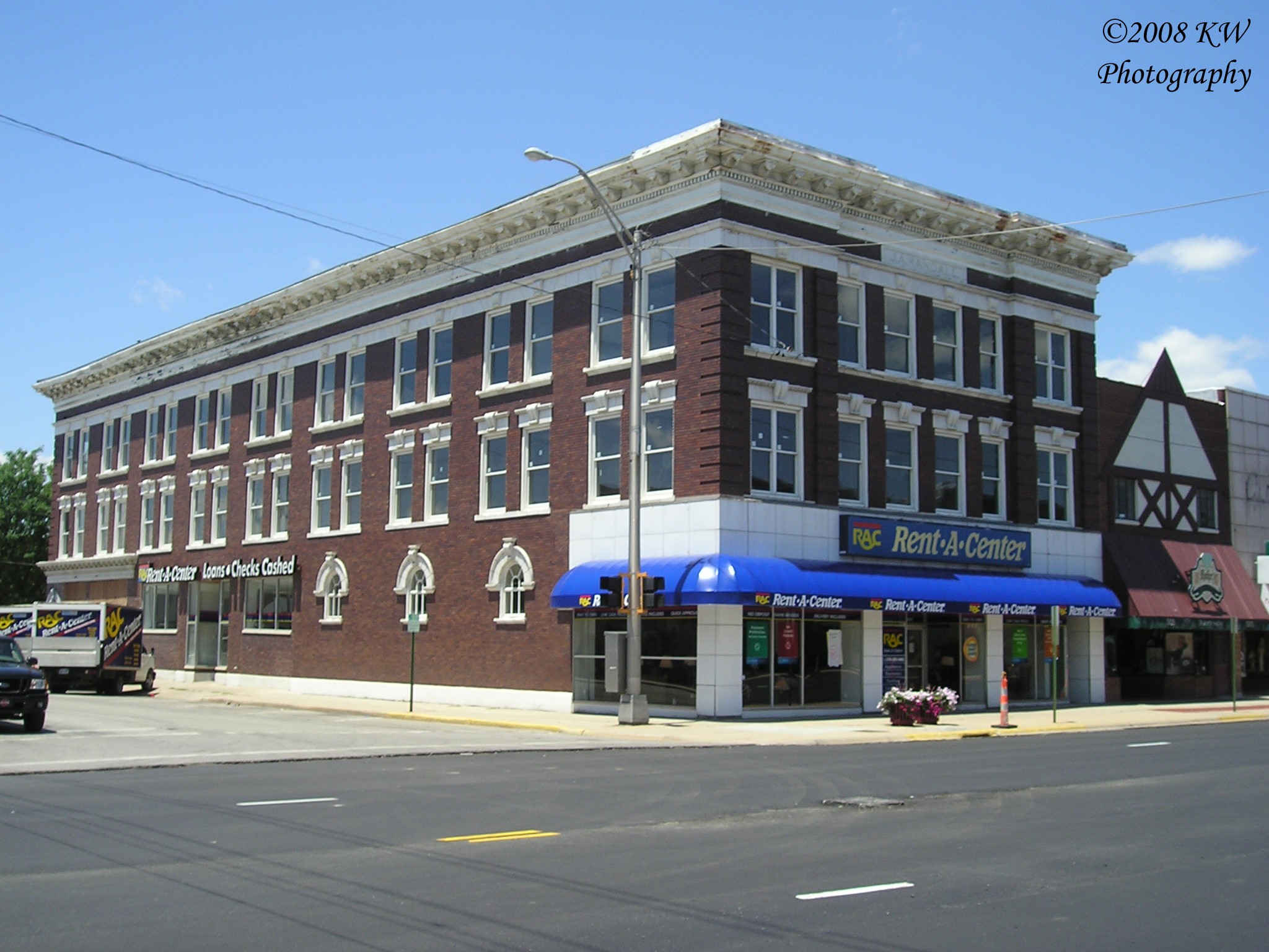
J.A. Randall Building
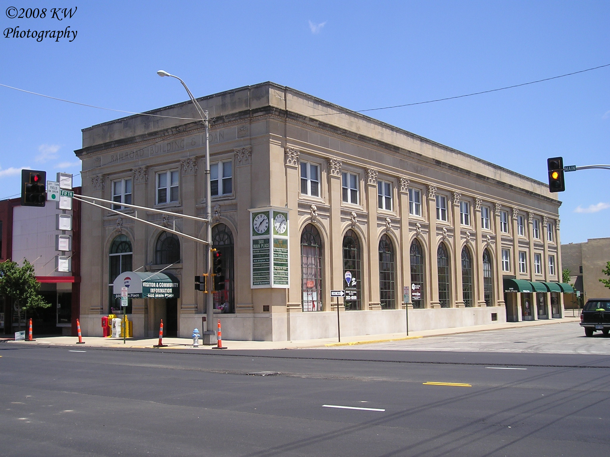
500 Main Place
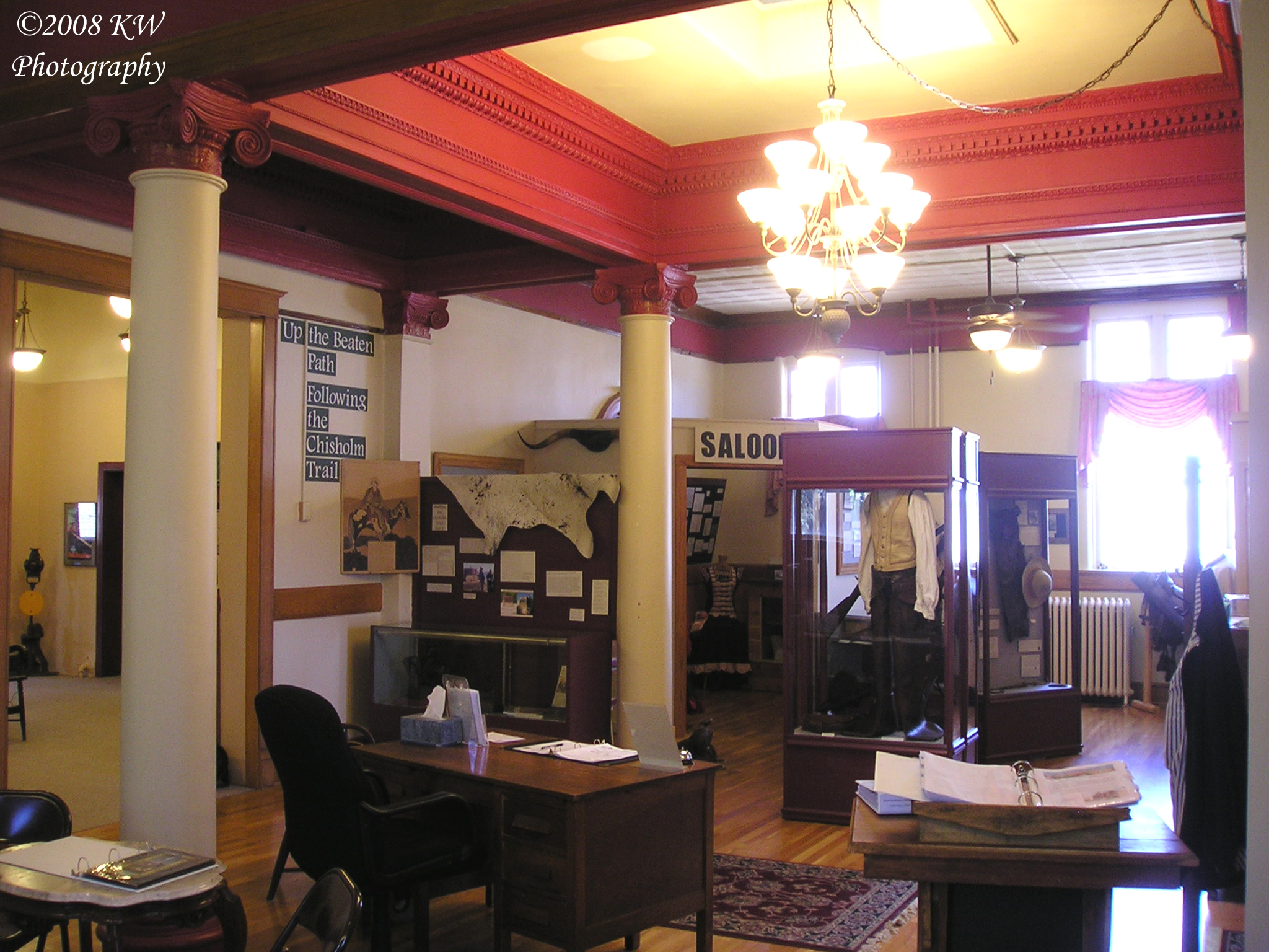
Carnegie Interior
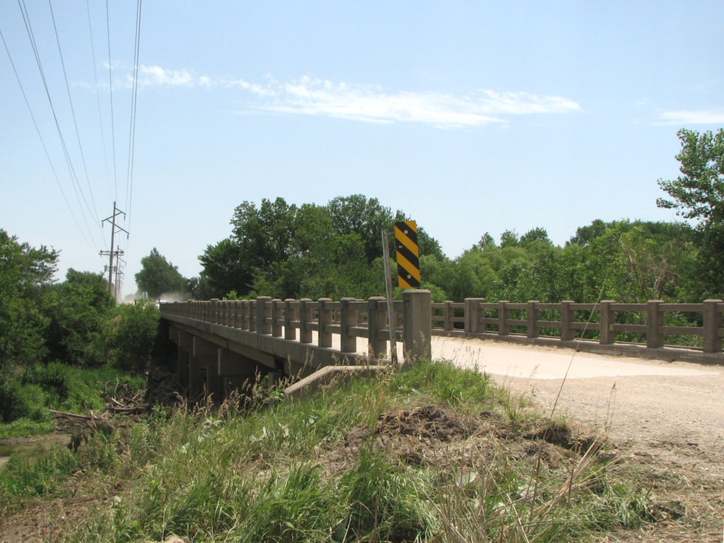
Side View: Little Arkansas River Bridge
Historical Marker
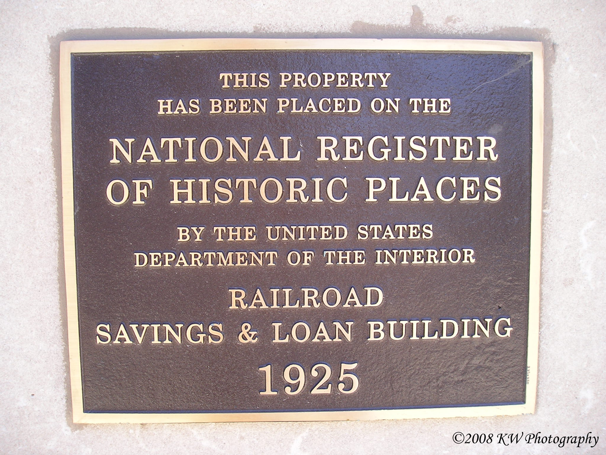
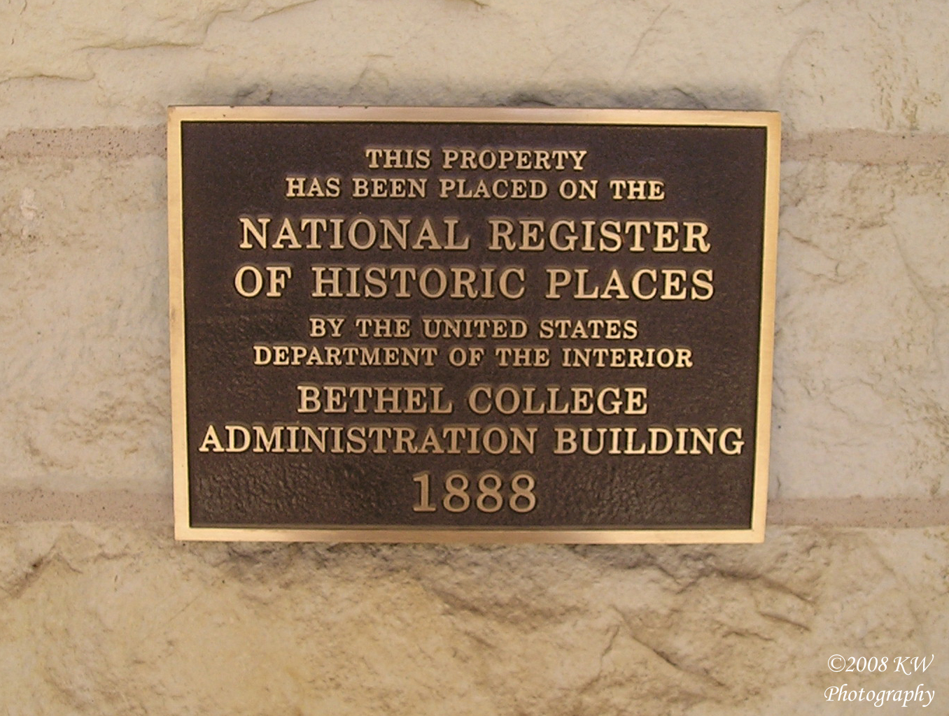
Historical Plaque
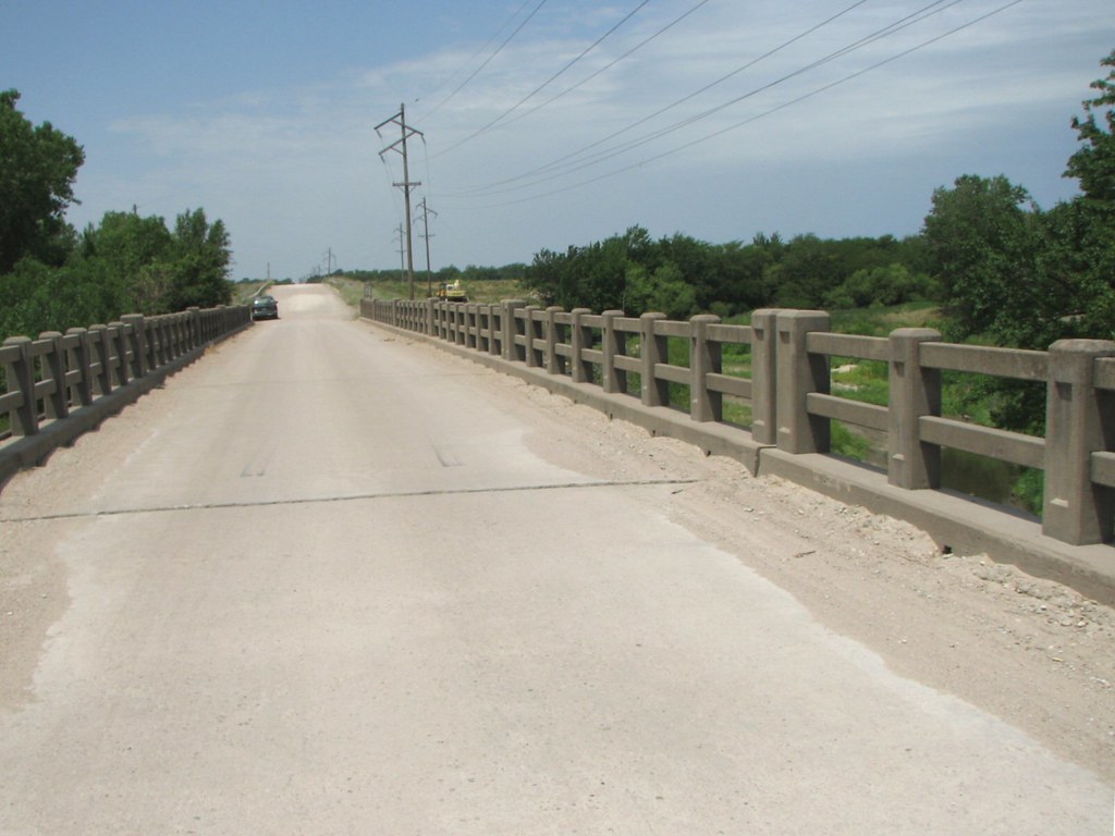
Deck View: Little Arkansas River

Light, lines, shadows & reflections. This is a view under one of the bridges over Sand Creek in Newton. Converted to black-and-white. #water #reflections #lines #light #b&w #blackandwhitephotography
Camera Roll-699
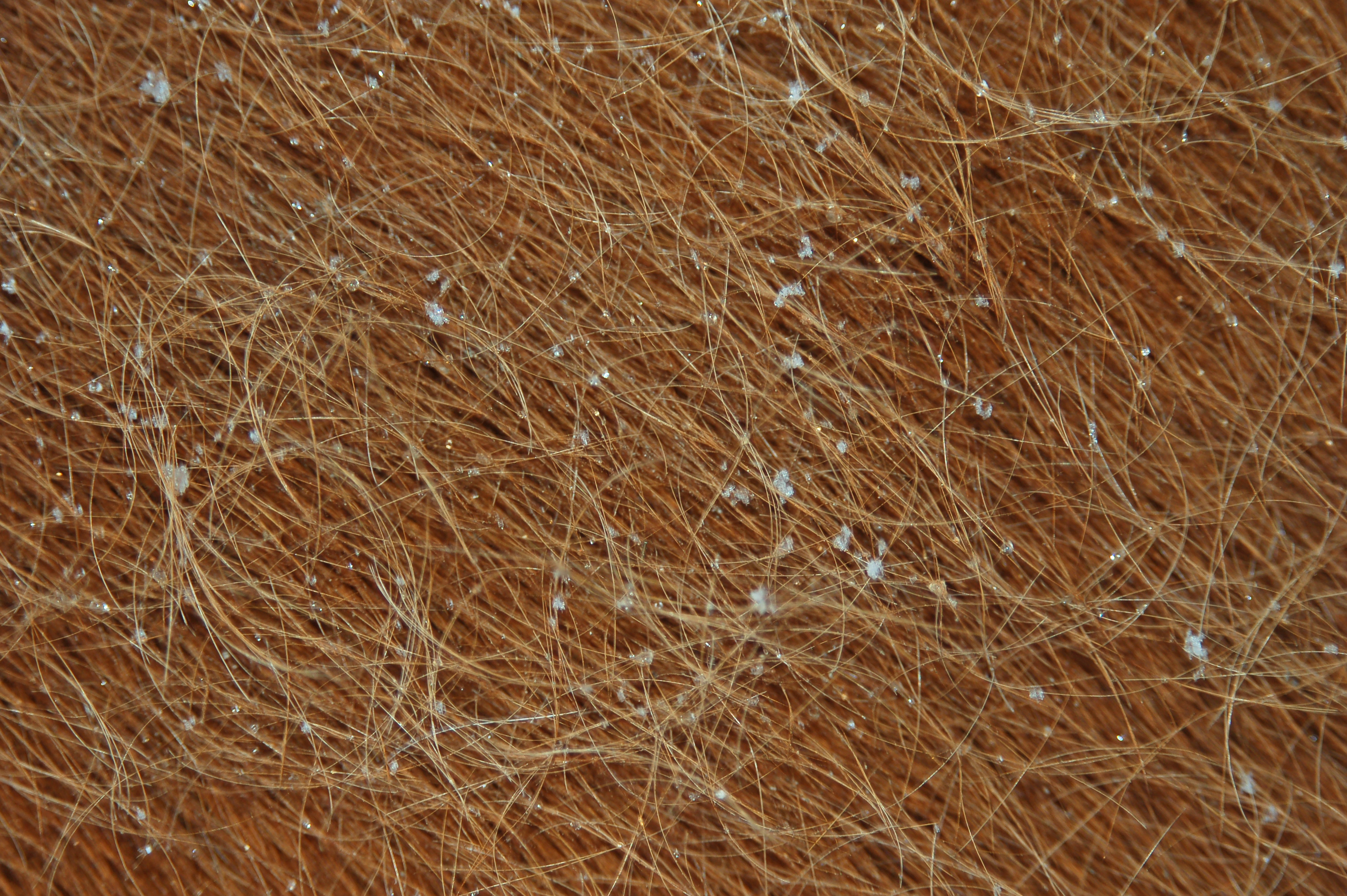
Horse Hair in snow

Wheat Field

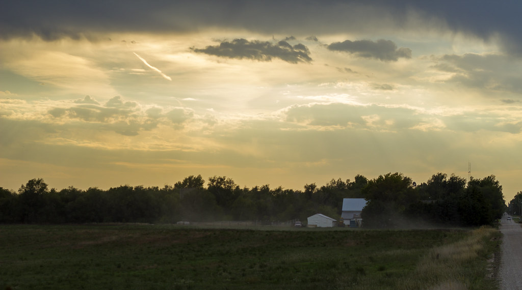
Evening Sun on Sand Creek Trail 2013-01-06
Untitled Landscape No. 1

Untitled Landscape No. 2

Sand Creek Trail B&W 2012-12-02 001
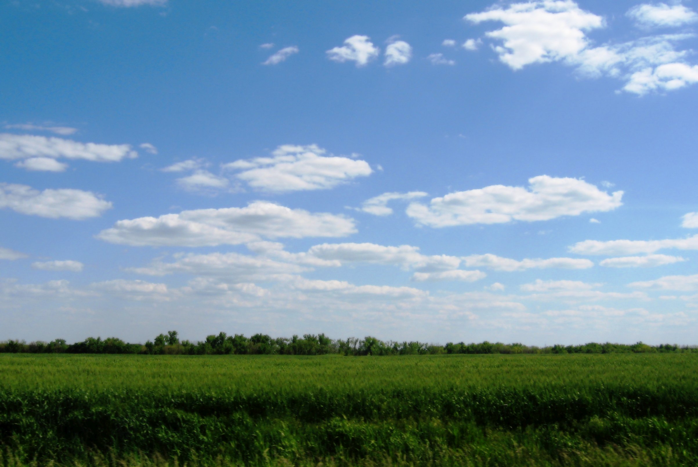
New wheat
Wings of Remembrance 2007
Peeing on Kansas
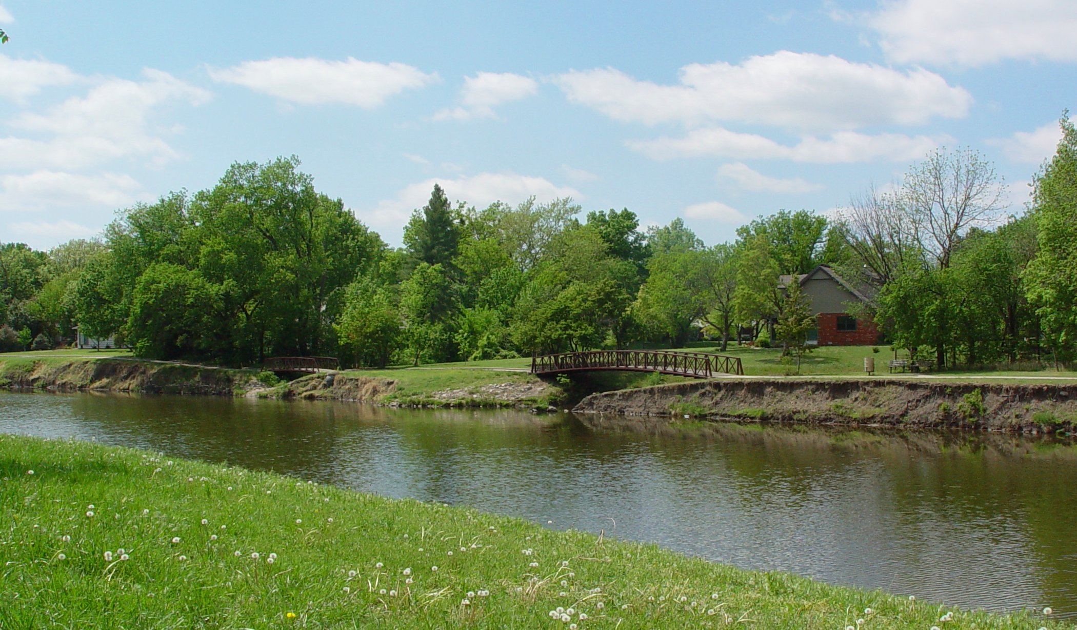
Bike path bridges
Sand Creek
Topographic Map of N Duncan St, Newton, KS, USA
Find elevation by address:

Places near N Duncan St, Newton, KS, USA:
Newton
1615 N Main St
2412 College Ave
N Main St, North Newton, KS, USA
North Newton
209 W 26th St
12 W 10th St Ct
1128 Columbus Ct
S Meridian Rd, Newton, KS, USA
Newton
Harvey County
Jordan Sports
2708 Sw 48th St
Main St, Walton, KS, USA
Walton
6917 E 1st St
719 N East Lake Rd
Pleasant
Walton
Elbing
Recent Searches:
- Elevation of Fern Rd, Whitmore, CA, USA
- Elevation of 62 Abbey St, Marshfield, MA, USA
- Elevation of Fernwood, Bradenton, FL, USA
- Elevation of Felindre, Swansea SA5 7LU, UK
- Elevation of Leyte Industrial Development Estate, Isabel, Leyte, Philippines
- Elevation of W Granada St, Tampa, FL, USA
- Elevation of Pykes Down, Ivybridge PL21 0BY, UK
- Elevation of Jalan Senandin, Lutong, Miri, Sarawak, Malaysia
- Elevation of Bilohirs'k
- Elevation of 30 Oak Lawn Dr, Barkhamsted, CT, USA