Elevation of th St, Morrill, KS, USA
Location: United States > Kansas > Brown County > Walnut >
Longitude: -95.704650
Latitude: 39.889192
Elevation: 338m / 1109feet
Barometric Pressure: 97KPa
Elevation Map:
Satellite Map:
Related Photos:
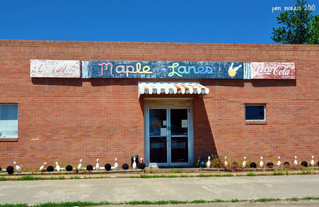
What a Bowling alley

Francis M. Starns Sr.
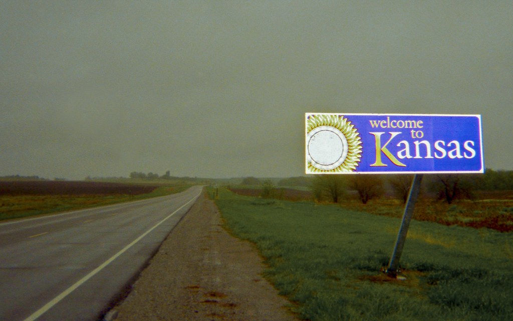
Welcome to Kansas
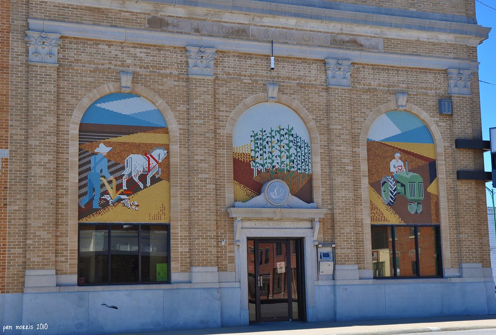
Main Street Splendor
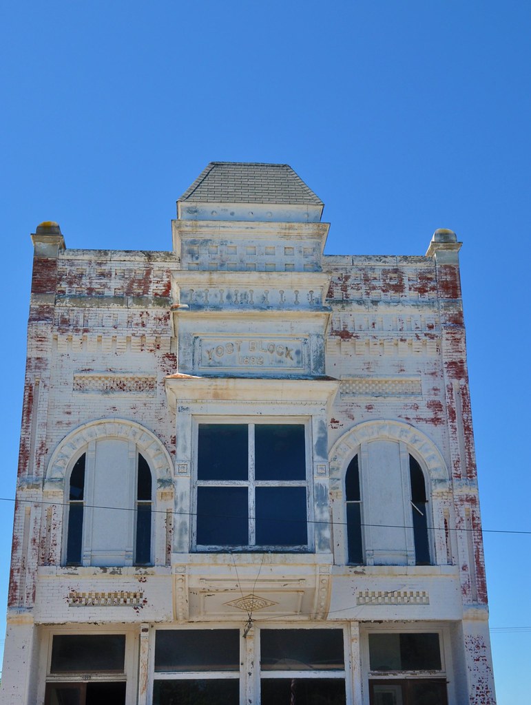
1892 Facade
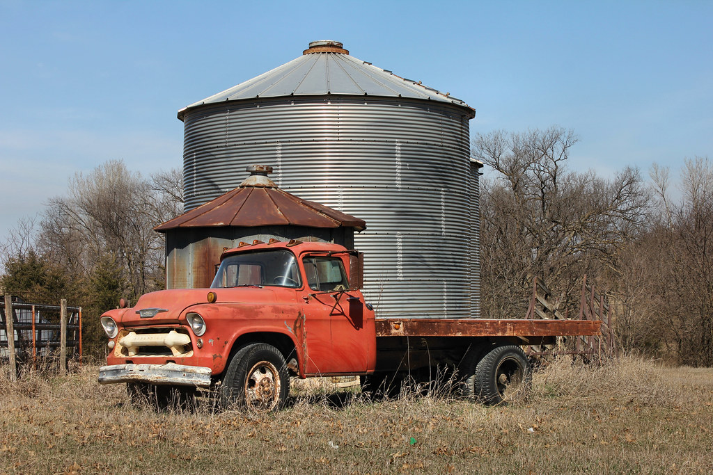
1956 Chevy Truck - rural Woodlawn, KS
Driving in Kansas

Boulder Hike
RCWest 1285
Hiawatha Municipal Airport
Hiawatha Municipal Airport
Topographic Map of th St, Morrill, KS, USA
Find elevation by address:

Places near th St, Morrill, KS, USA:
Walnut
Roxanna St, Morrill, KS, USA
Morrill
Morrill
Sabetha
Usc, Llc
2117 200th Rd
2117 200th Rd
X6 Rd, Wetmore, KS, USA
Richardson County
Granada
Washington
Dawson
Railroad St, Bern, KS, USA
Bern
Netawaka
Grant
Netawaka
Kansas Ave, Netawaka, KS, USA
Nemaha County
Recent Searches:
- Elevation of Elwyn Dr, Roanoke Rapids, NC, USA
- Elevation of Congressional Dr, Stevensville, MD, USA
- Elevation of Bellview Rd, McLean, VA, USA
- Elevation of Stage Island Rd, Chatham, MA, USA
- Elevation of Shibuya Scramble Crossing, 21 Udagawacho, Shibuya City, Tokyo -, Japan
- Elevation of Jadagoniai, Kaunas District Municipality, Lithuania
- Elevation of Pagonija rock, Kranto 7-oji g. 8"N, Kaunas, Lithuania
- Elevation of Co Rd 87, Jamestown, CO, USA
- Elevation of Tenjo, Cundinamarca, Colombia
- Elevation of Côte-des-Neiges, Montreal, QC H4A 3J6, Canada