Elevation of th Rd, Live Oak, FL, USA
Location: United States > Florida > Suwannee County > Live Oak >
Longitude: -83.237083
Latitude: 30.244216
Elevation: 18m / 59feet
Barometric Pressure: 101KPa
Elevation Map:
Satellite Map:
Related Photos:
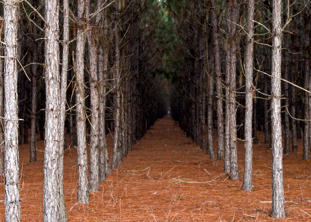
In The Pines, In The Pines

Project 365- 335-365

Charles Springs County Park, FL 11 Nov 2014 13
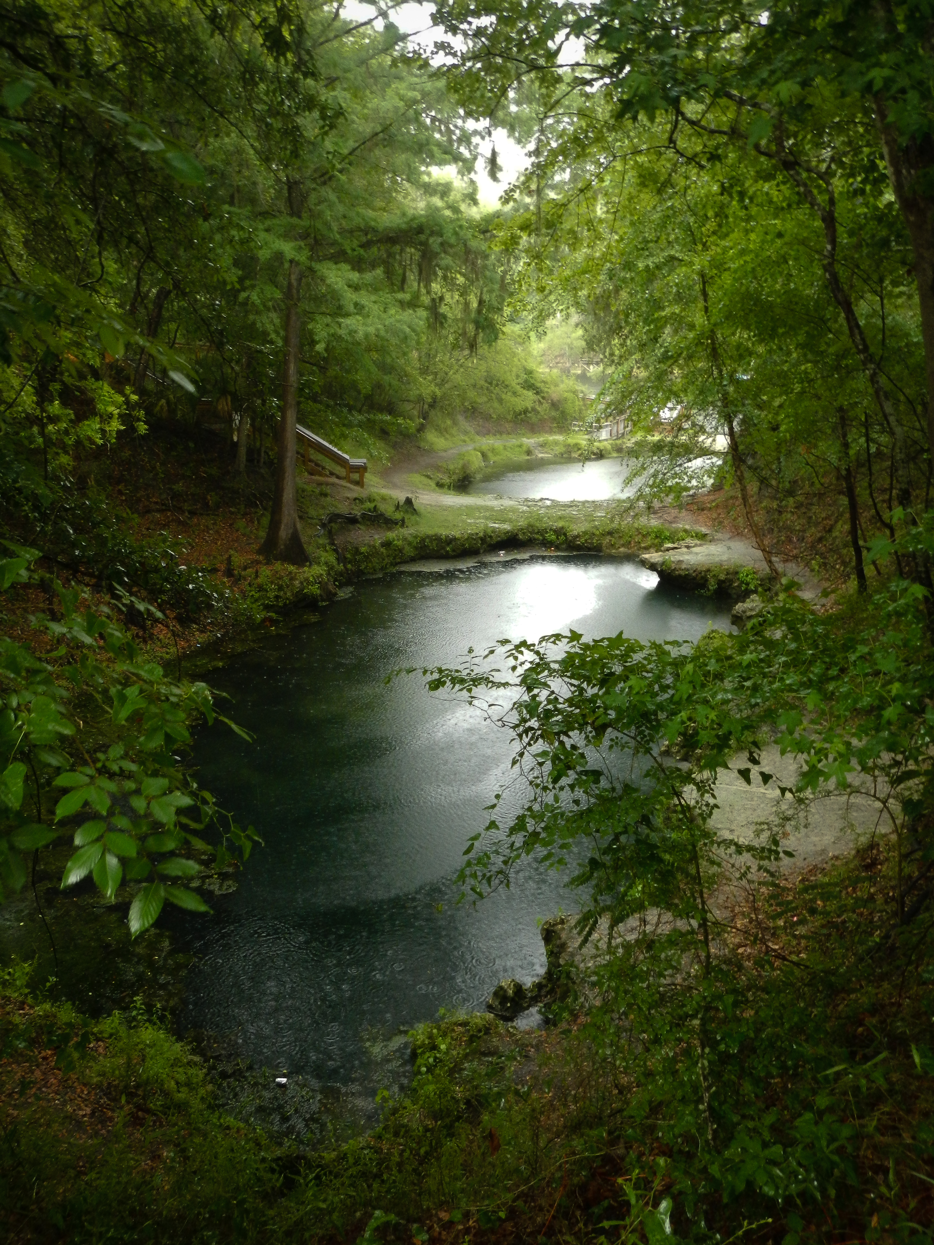
Lafayette Blue Springs Rainy

Charles Springs County Park, FL 11 Nov 2014 2
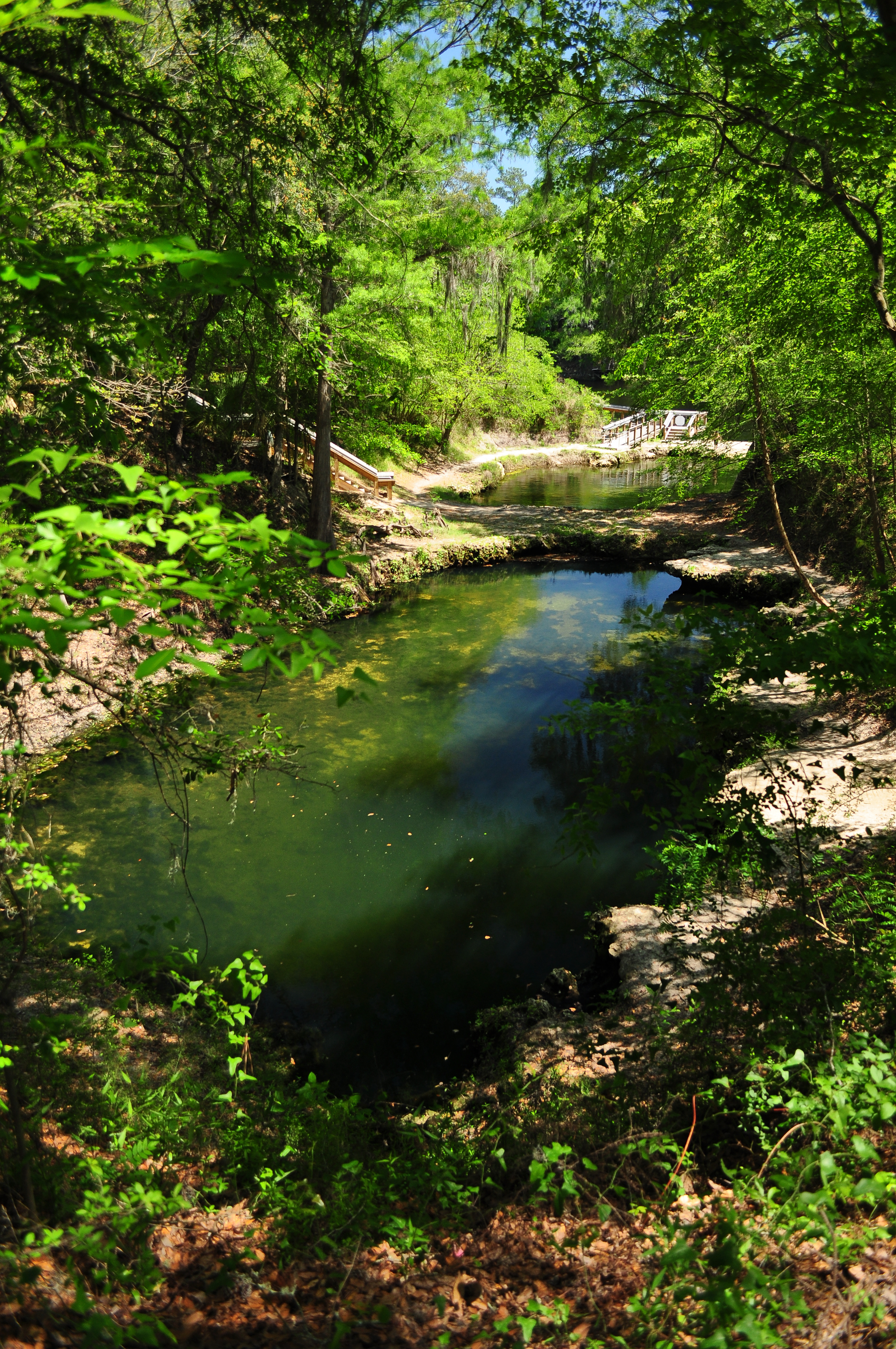
Main Karst Window
OLYMPUS DIGITAL CAMERA

Charles Springs County Park, FL 11 Nov 2014 8

Charles Springs County Park, FL 11 Nov 2014 7
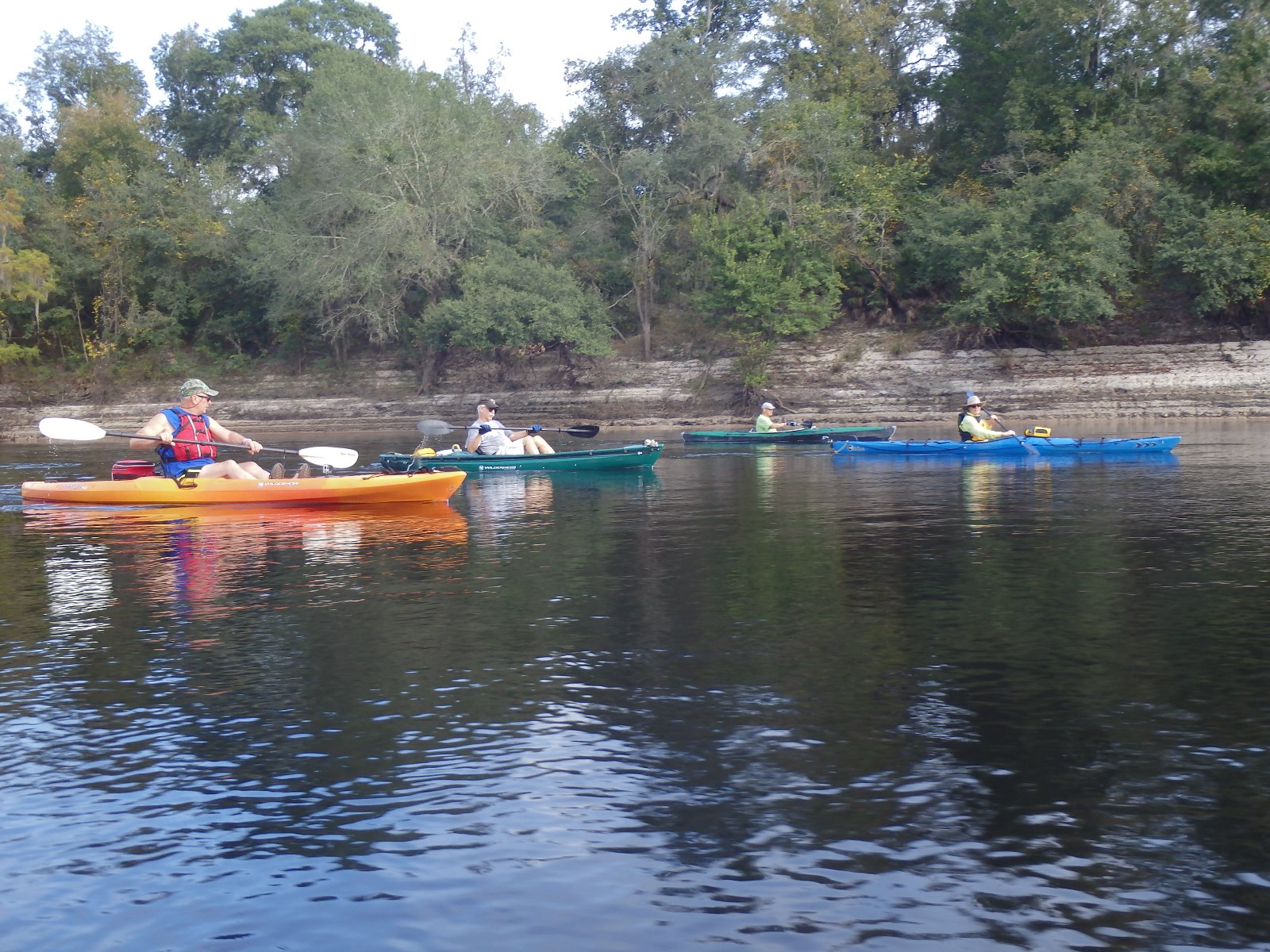
Lafayette Blue Springs

Charles Springs County Park, FL 11 Nov 2014 21

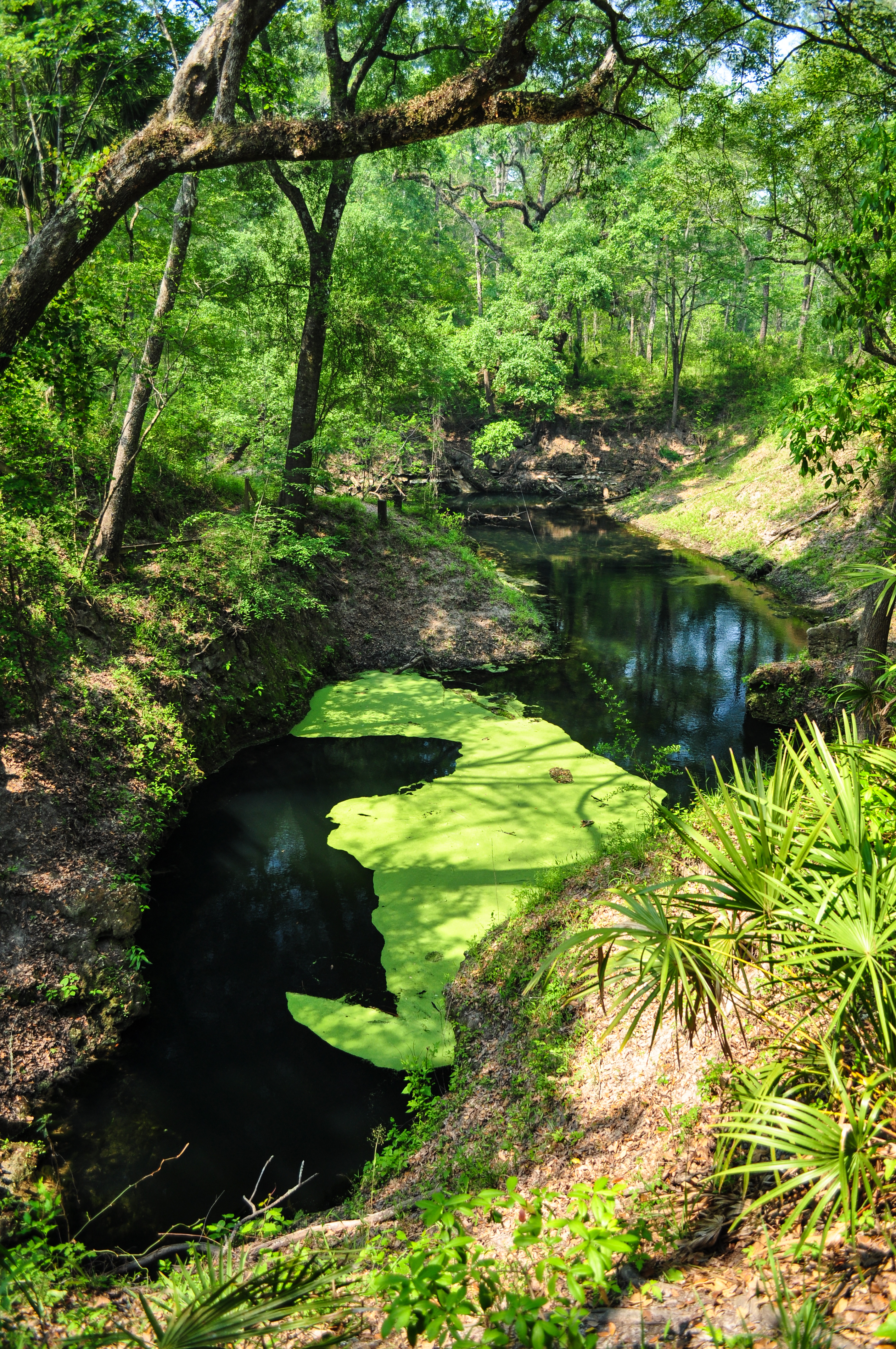
Karst Emergence

Charles Springs County Park, FL 11 Nov 2014 10

First Karst Window

Charles Springs County Park, FL 11 Nov 2014 15

Karst Window Pool

Under the Bridge

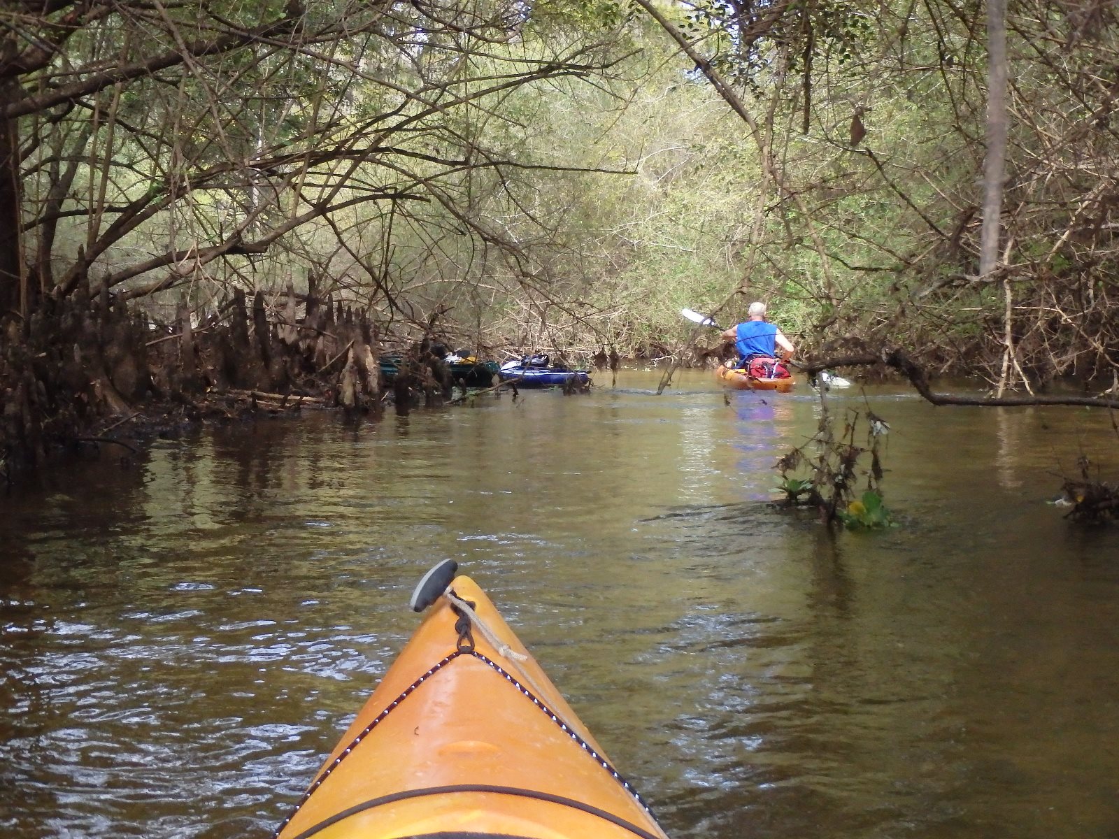
Karst Window River

Path to the Ramp
OLYMPUS DIGITAL CAMERA
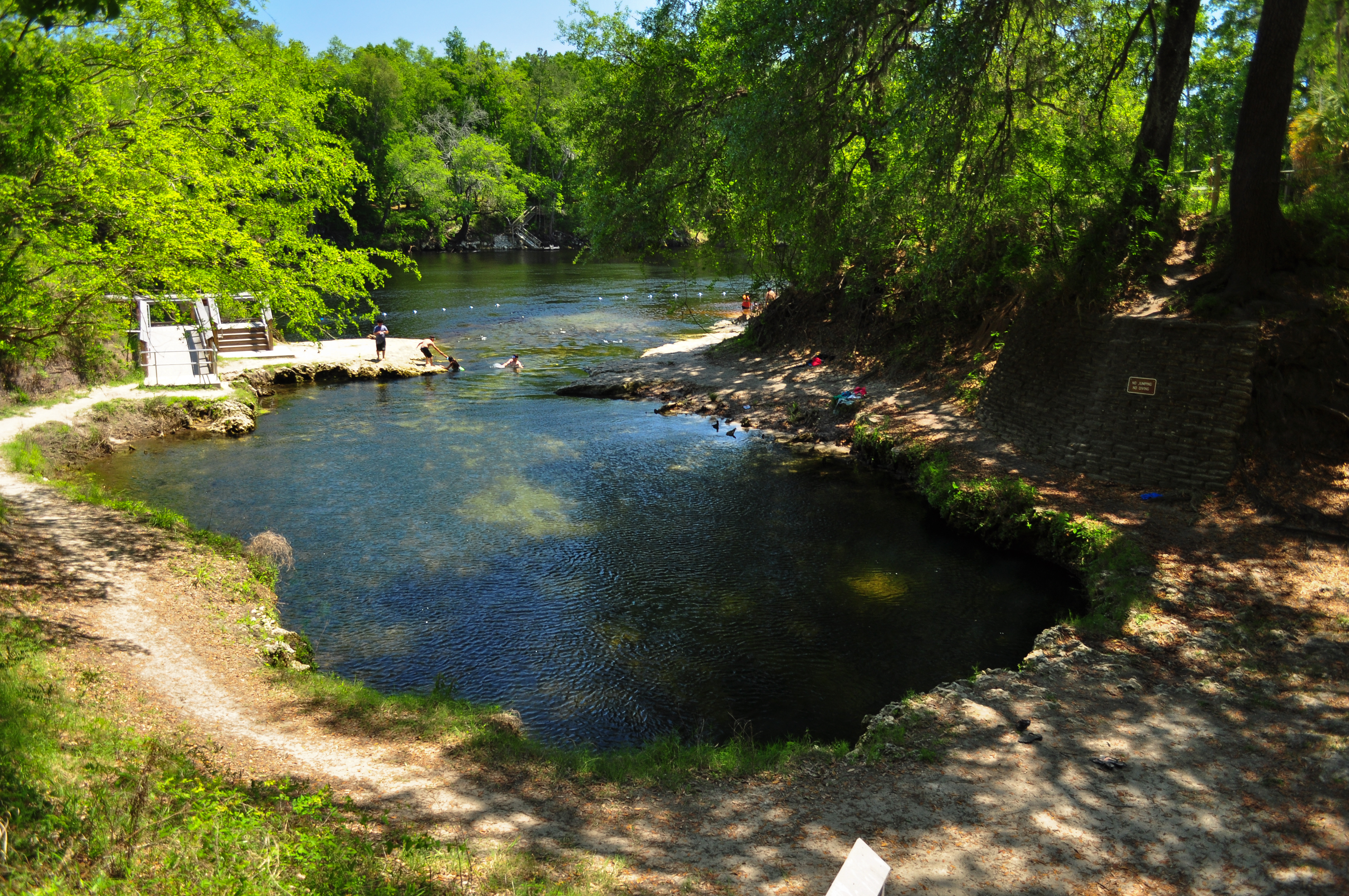
Main Swimming Pool
Topographic Map of th Rd, Live Oak, FL, USA
Find elevation by address:

Places near th Rd, Live Oak, FL, USA:
23520 112th Terrace
Dowling Park
Willow Bend Way
10625 River Wood Dr
10625 River Wood Dr
10409 River Wood Dr
7093 Walker Pl
20318 76th St
st Rd, Live Oak, FL, USA
8448 189th Pl
th Rd, Live Oak, FL, USA
4653 River Rd
10045 Rocky Sink Rd
7020 175th Dr
st Rd, Live Oak, FL, USA
Suwannee River State Park
US-90, Live Oak, FL, USA
147th Road
15314 68th St
8891 143rd Dr
Recent Searches:
- Elevation of E 63rd St, New York, NY, USA
- Elevation of Elk City, OK, USA
- Elevation of Erika Dr, Windsor, CA, USA
- Elevation of Village Ln, Finleyville, PA, USA
- Elevation of 24 Oakland Rd #, Scotland, ON N0E 1R0, Canada
- Elevation of Deep Gap Farm Rd E, Mill Spring, NC, USA
- Elevation of Dog Leg Dr, Minden, NV, USA
- Elevation of Dog Leg Dr, Minden, NV, USA
- Elevation of Kambingan Sa Pansol Atbp., Purok 7 Pansol, Candaba, Pampanga, Philippines
- Elevation of Pinewood Dr, New Bern, NC, USA