Elevation of th Ave SE, Durbin, ND, USA
Location: United States > North Dakota > Cass County > Everest > Durbin >
Longitude: -97.199012
Latitude: 46.866344
Elevation: 283m / 928feet
Barometric Pressure: 98KPa
Elevation Map:
Satellite Map:
Related Photos:


Everest, North Dakota

Addison Township, North Dakota

This road was not on my route

But this one was

Myra, North Dakota
Mapleton, ND

Rather Flat

Everest, North Dakota

BNSF 4860

Myra, North Dakota

BNSF 8125

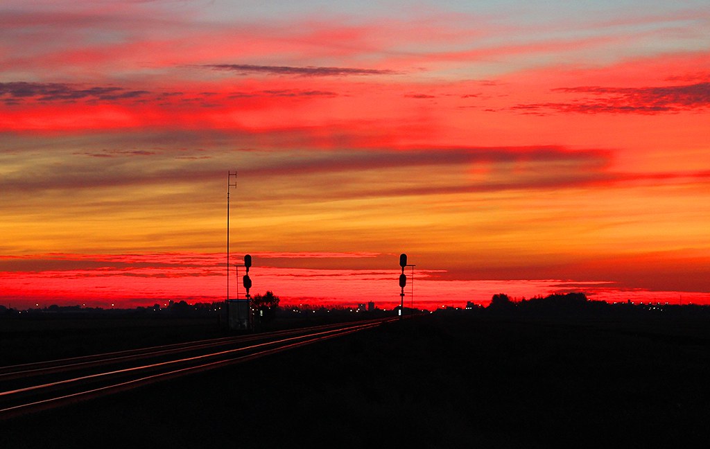
Everest, North Dakota

Everest, North Dakota

Everest, North Dakota

Addison Township, North Dakota

Addison Township, North Dakota

Addison Township, North Dakota

Everest, North Dakota

Dalrymple Spur, North Dakota

Myra, North Dakota

Everest, North Dakota
Topographic Map of th Ave SE, Durbin, ND, USA
Find elevation by address:

Places near th Ave SE, Durbin, ND, USA:
3766 156th Ave Se
907 Governor's Dr
Everest
Casselton
Casselton
15705 36th St Se
th Ave SE, Wheatland, ND, USA
Mapleton, ND, USA
4159 154th Ave Se
Durbin
Casselton
32nd St SE, Wheatland, ND, USA
Harmony
Addison
15916 45th St Se
Amenia
Mapleton
500 Knutson St
16305 41st St Se
Davenport
Recent Searches:
- Elevation of Congressional Dr, Stevensville, MD, USA
- Elevation of Bellview Rd, McLean, VA, USA
- Elevation of Stage Island Rd, Chatham, MA, USA
- Elevation of Shibuya Scramble Crossing, 21 Udagawacho, Shibuya City, Tokyo -, Japan
- Elevation of Jadagoniai, Kaunas District Municipality, Lithuania
- Elevation of Pagonija rock, Kranto 7-oji g. 8"N, Kaunas, Lithuania
- Elevation of Co Rd 87, Jamestown, CO, USA
- Elevation of Tenjo, Cundinamarca, Colombia
- Elevation of Côte-des-Neiges, Montreal, QC H4A 3J6, Canada
- Elevation of Bobcat Dr, Helena, MT, USA