Elevation of 41st St SE, Mapleton, ND, USA
Location: United States > North Dakota > Cass County > Mapleton > Mapleton >
Longitude: -97.052172
Latitude: 46.819363
Elevation: 277m / 909feet
Barometric Pressure: 98KPa
Elevation Map:
Satellite Map:
Related Photos:
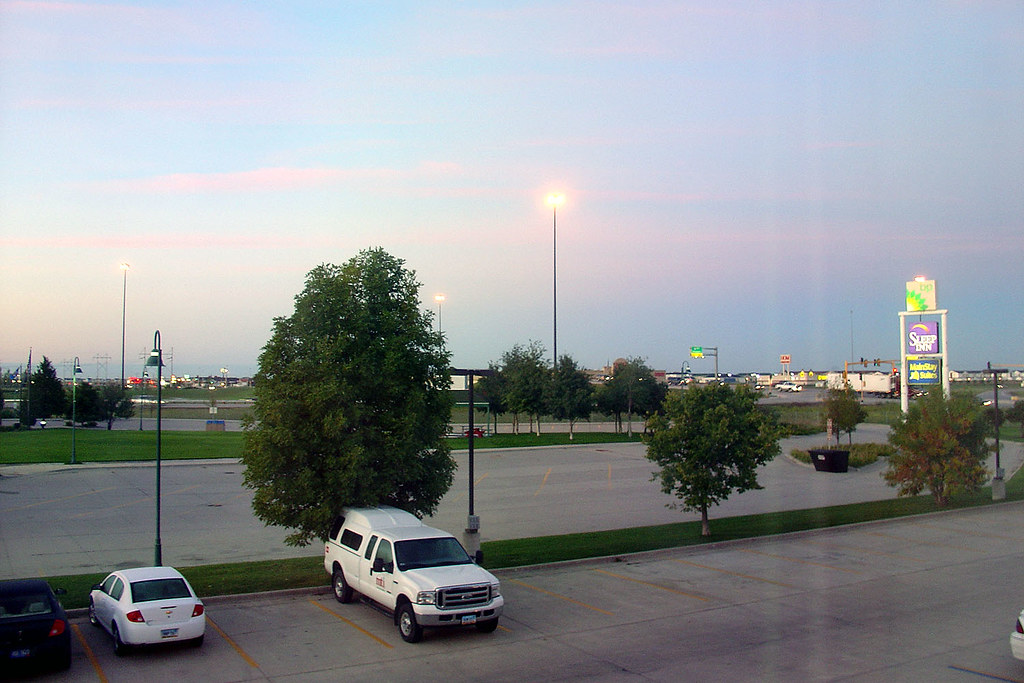
Early morning in Fargo
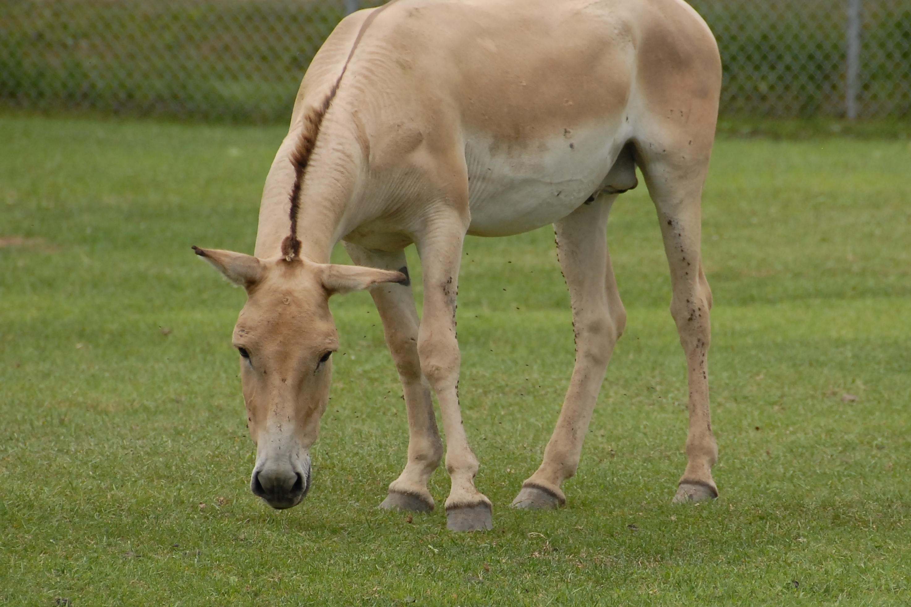
Persian Onager (Equus hemiunus onager)
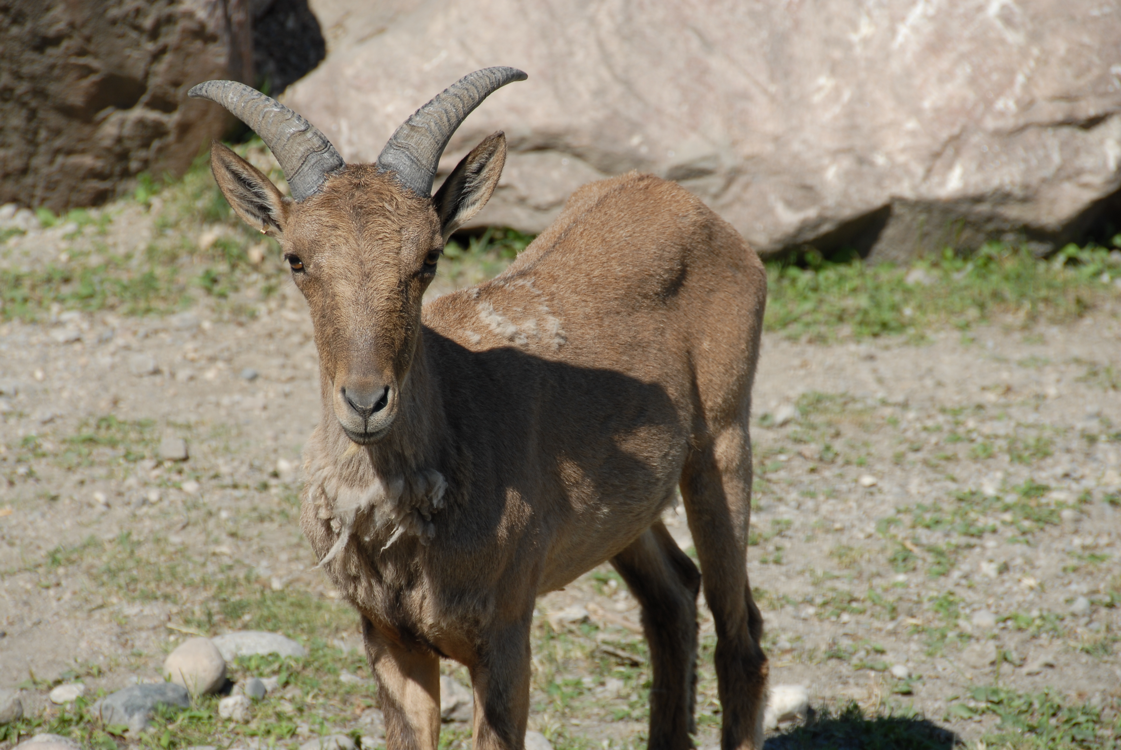
East Caucasian Tur (Capra cylindricornis)

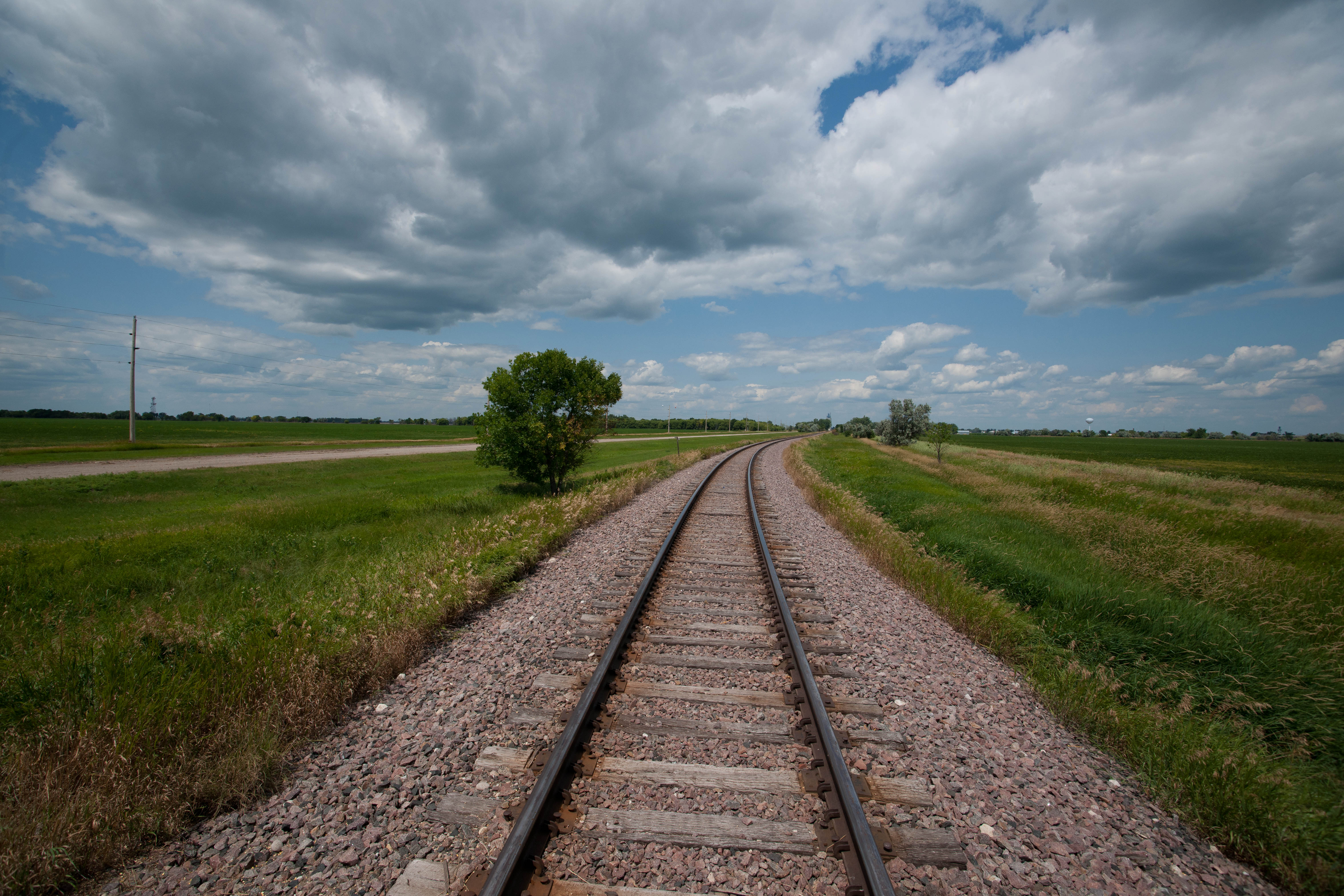
Down the Line
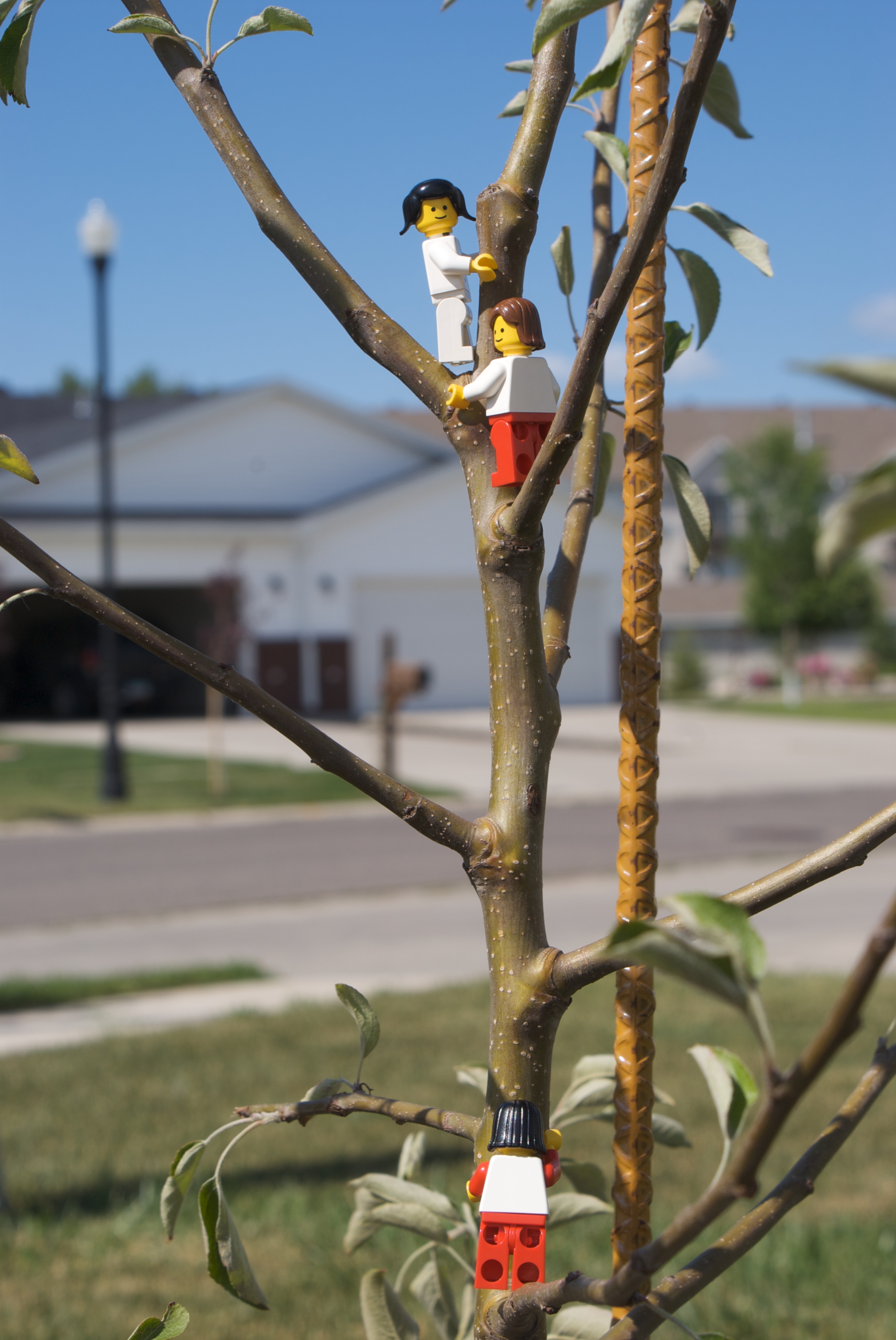
Climbing tree to get a better view

View from above
My Point of view

Signs for I-94 east at sunrise, 15 Nov 2011
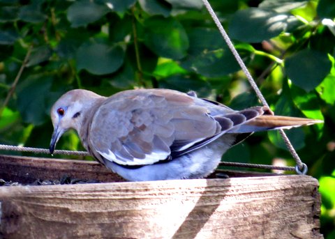
White-winged Dove, Horace, ND, 15Sept2014, Rick Shaw (2)
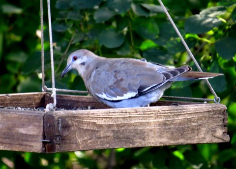
White-winged Dove, Horace, ND, 15Sept2014, Rick Shaw (3)

365-097

It's a better view from upside-down...
365-090
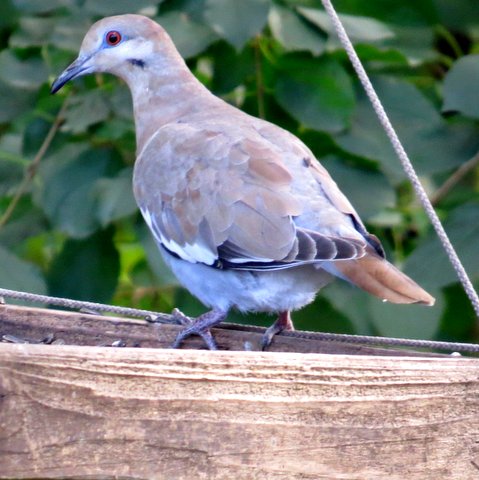
White-winged Dove, Horace, ND, 15Sept2014, Rick Shaw (1)
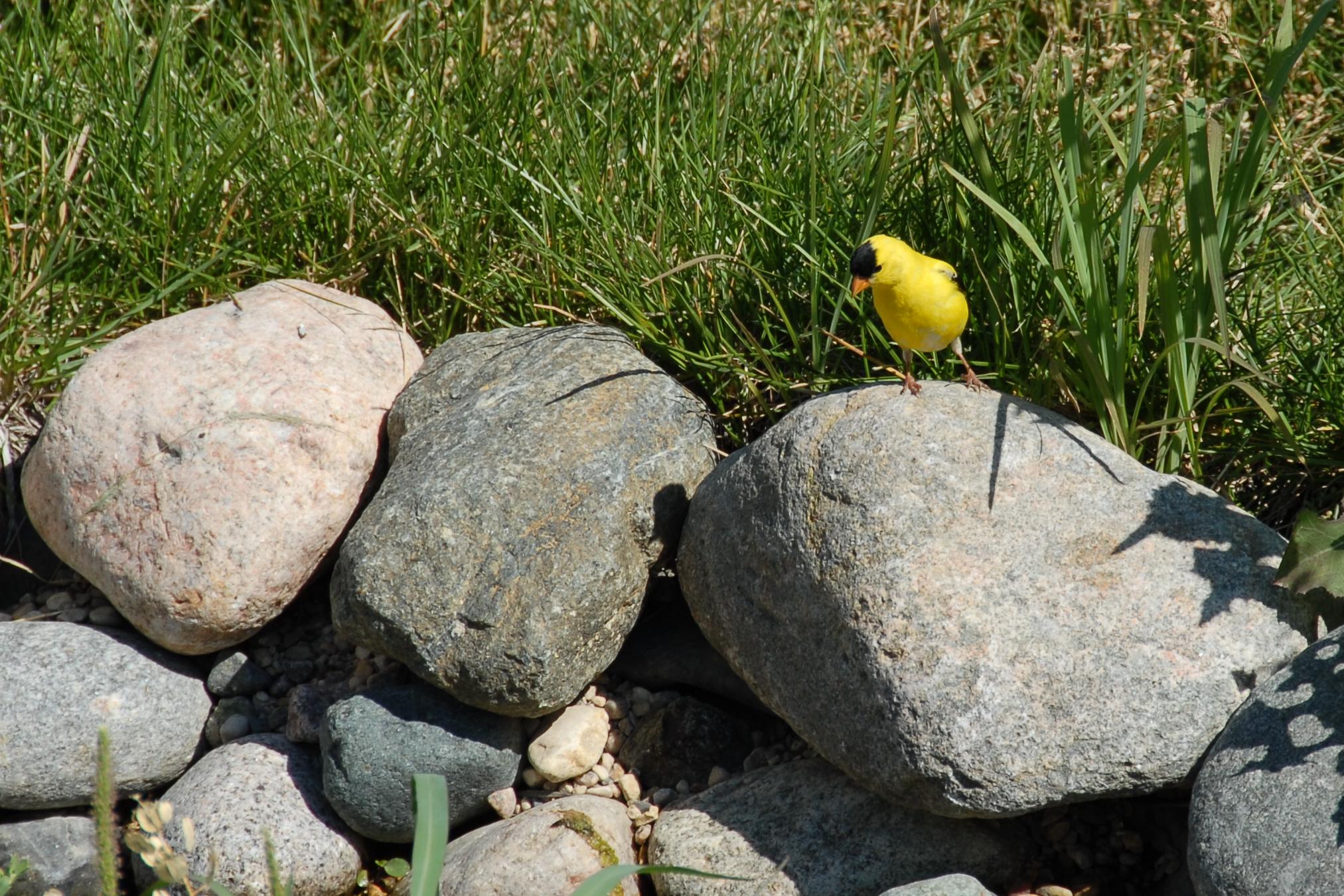
American Goldfinch-Male

View from work

Geocaching in Horace

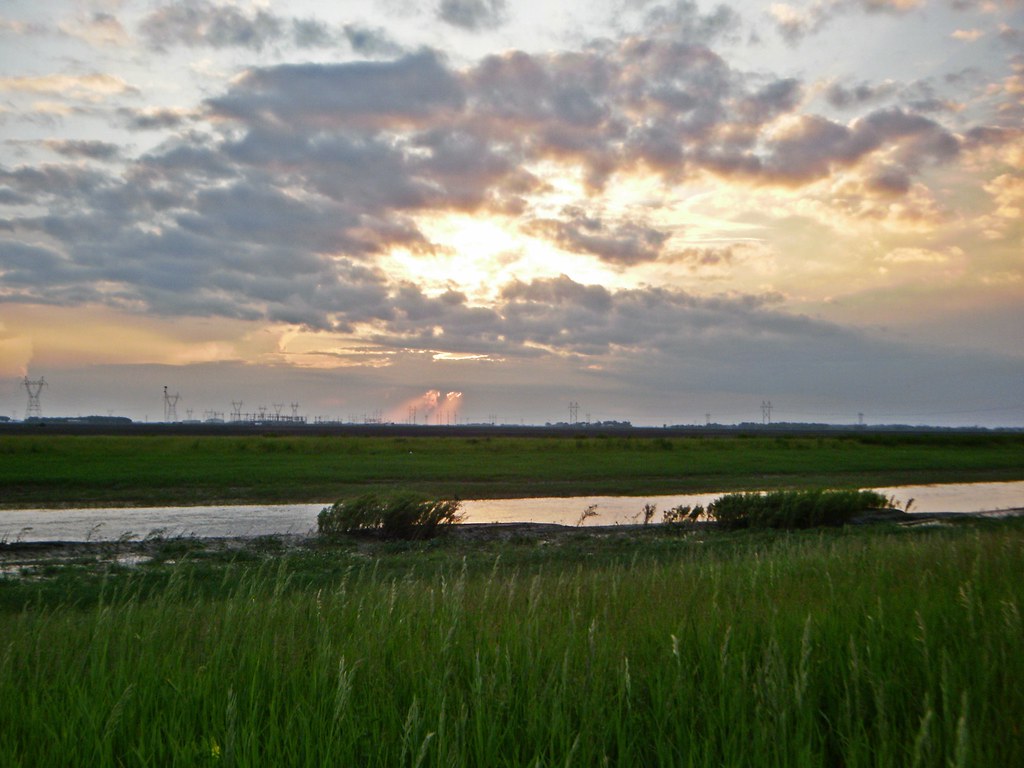
Fargo Countryside
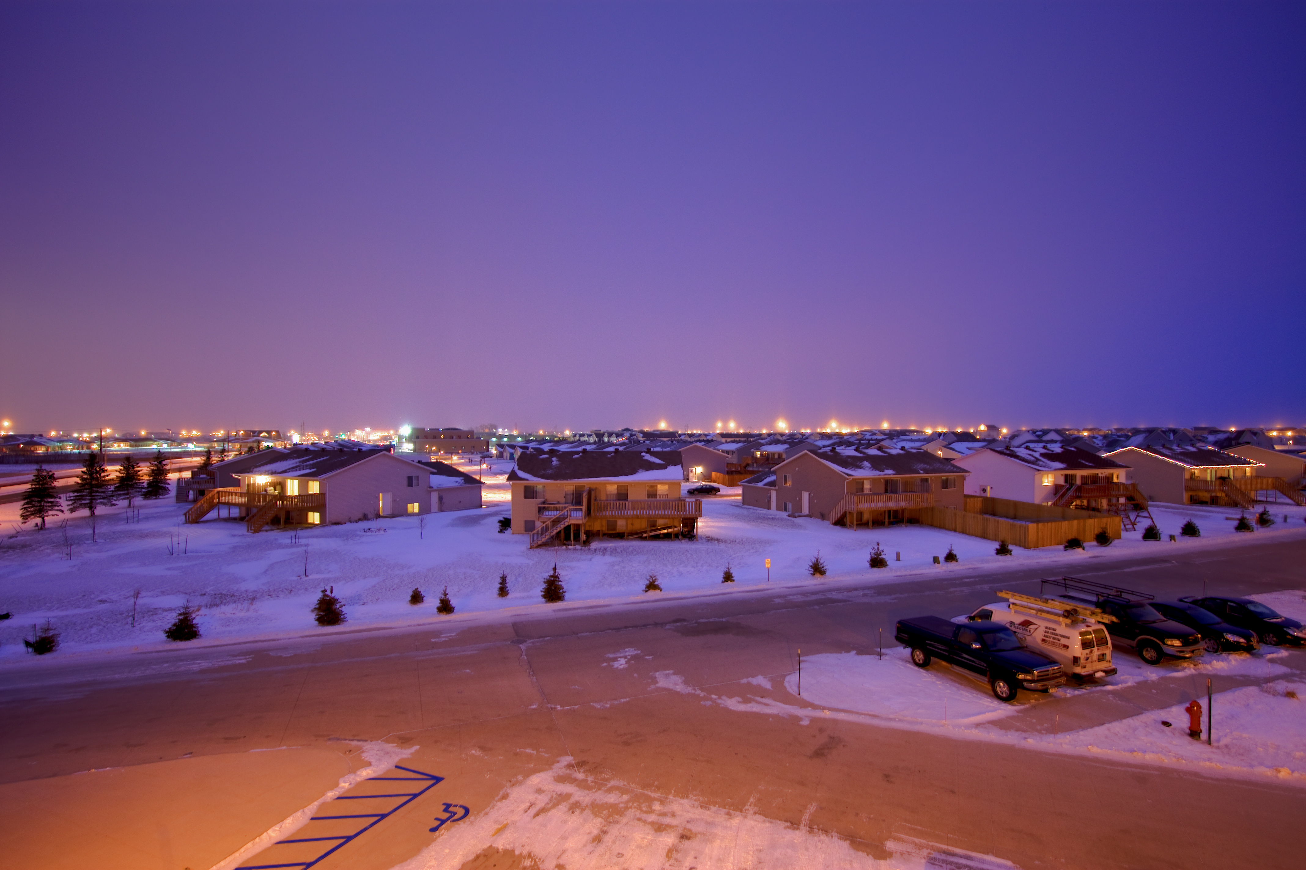
West Fargo Sunset, June II
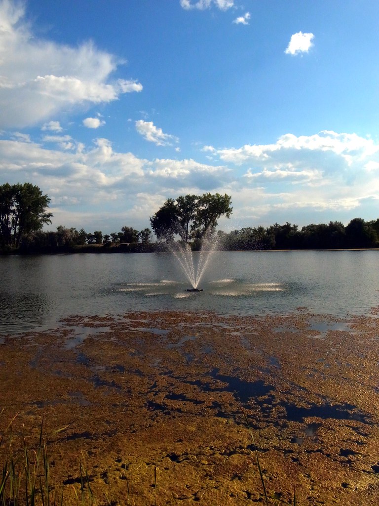
Fountain in the lake
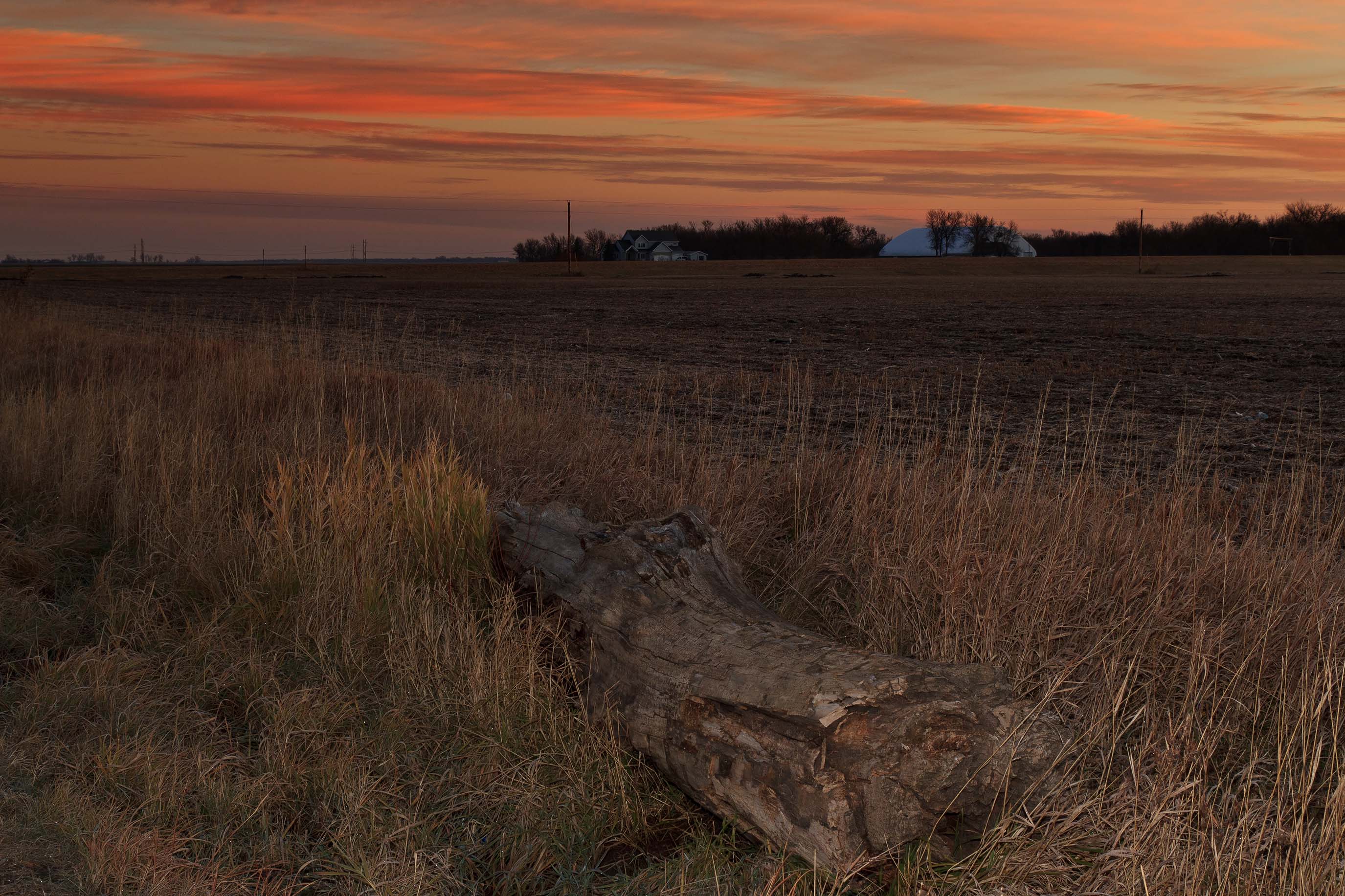
Everest, North Dakota
Addison Township, North Dakota
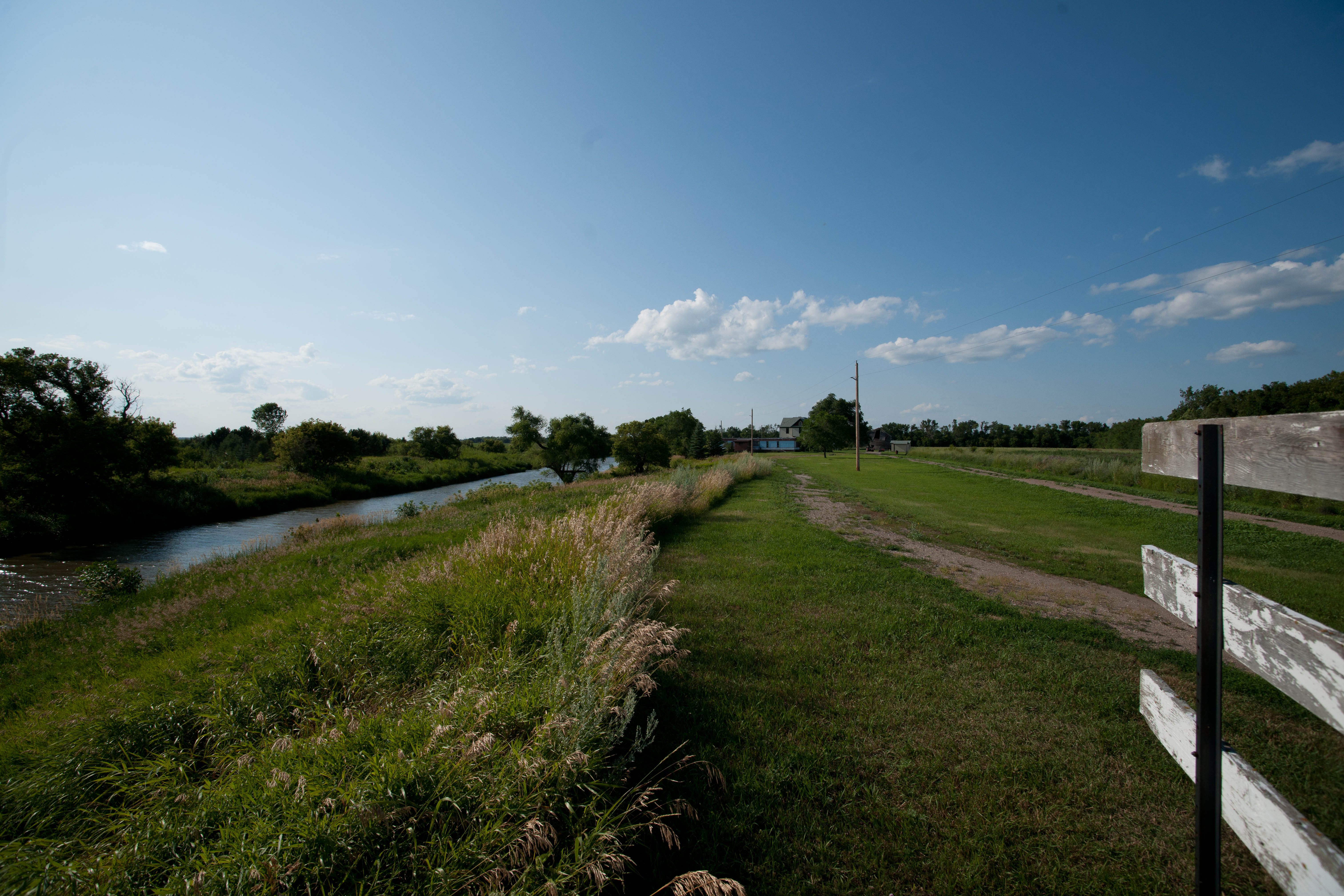
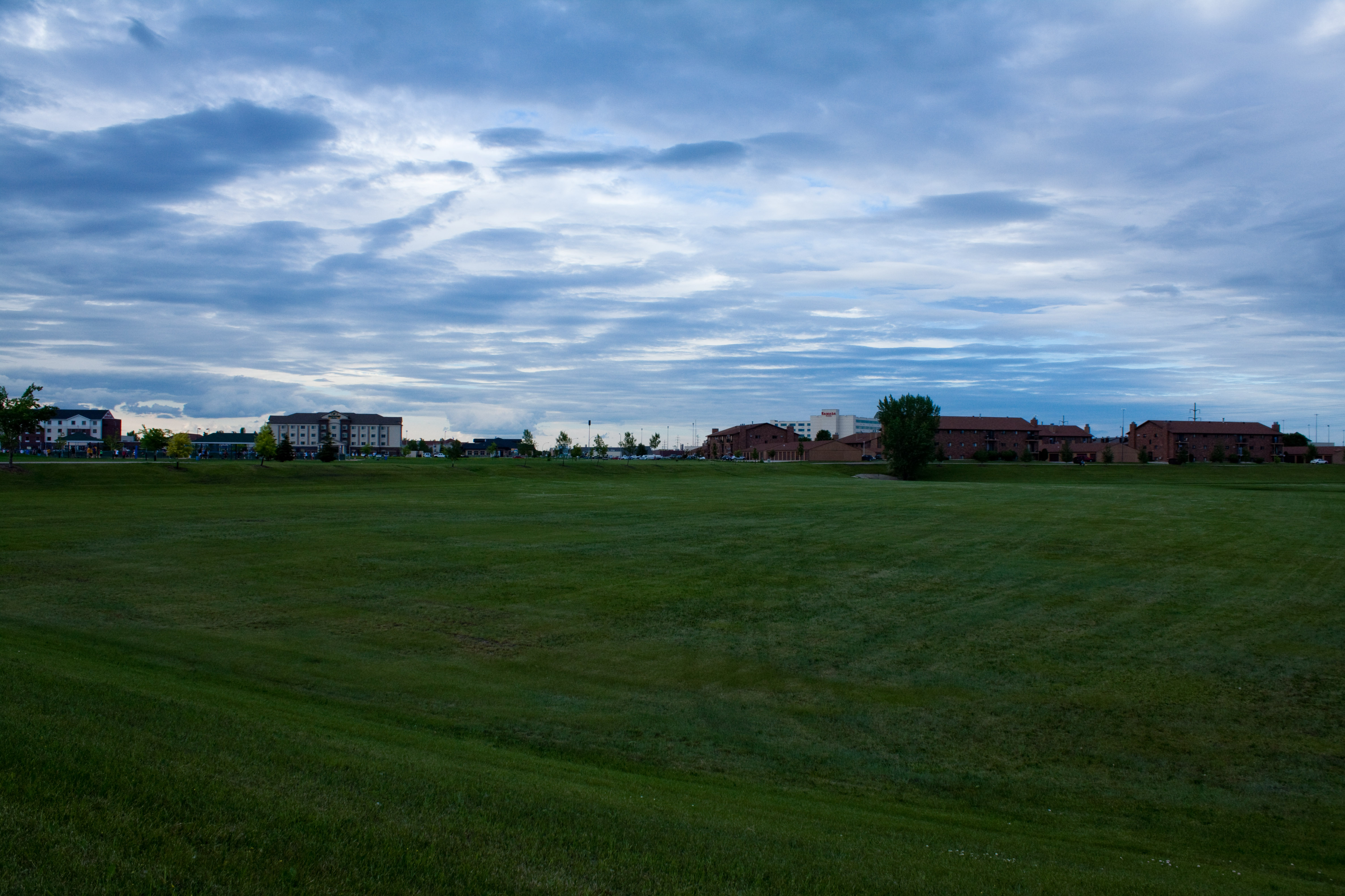
Mapleton, ND
Everest, North Dakota
Memories of A Past Morning
It's complicated
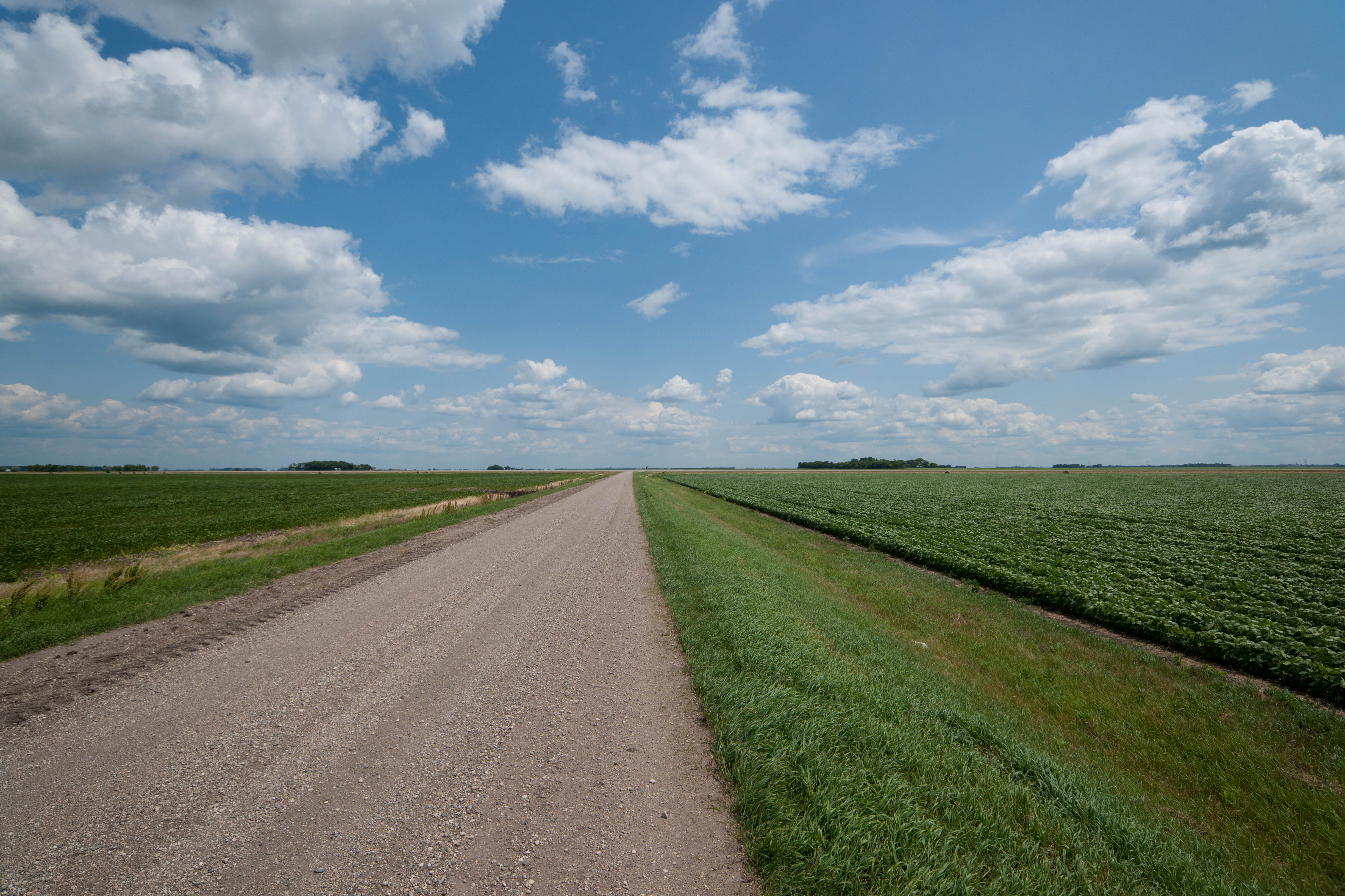
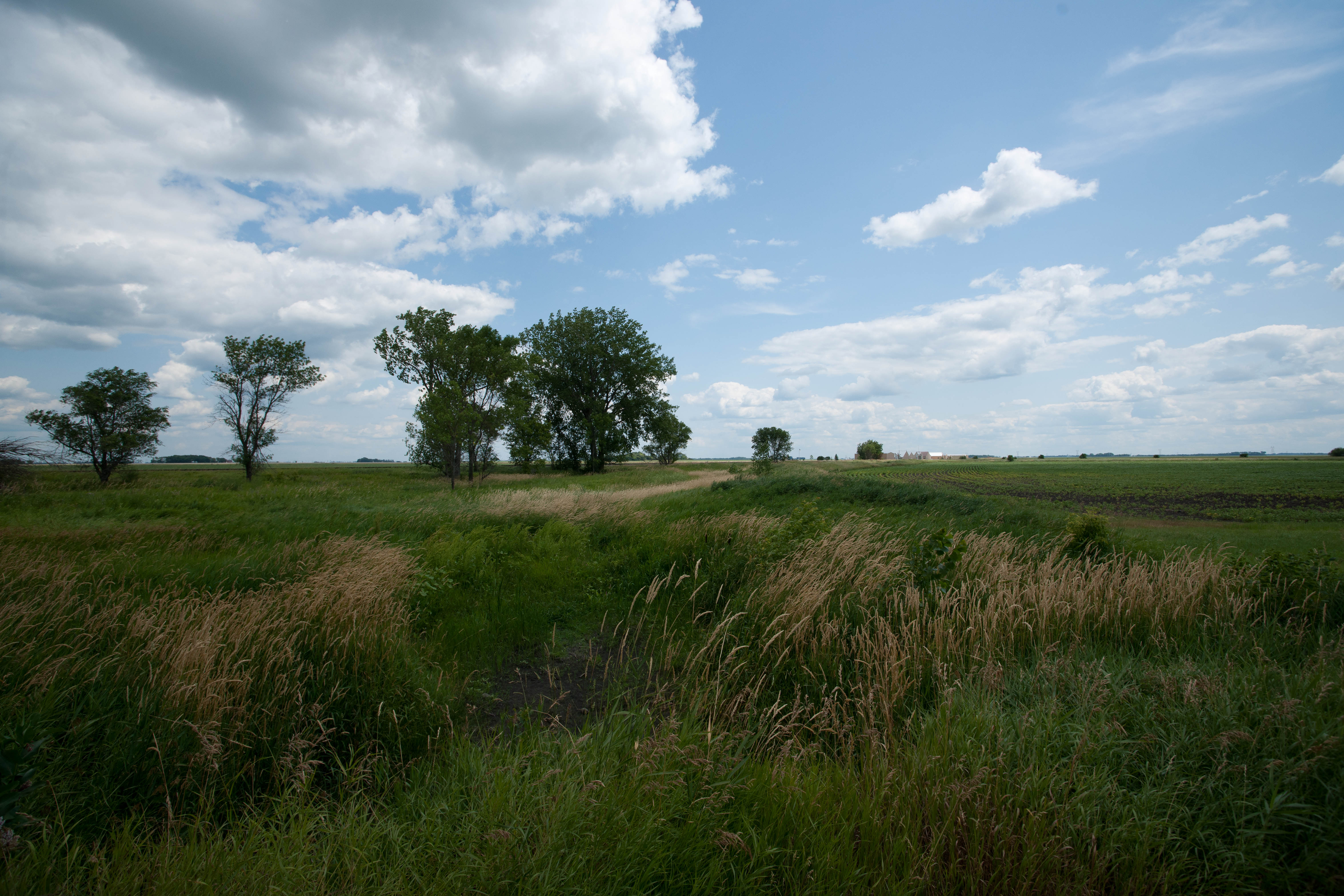
Rather Flat
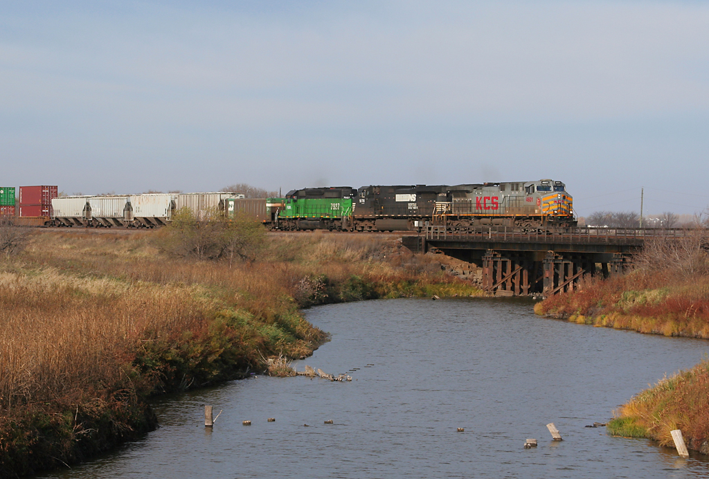
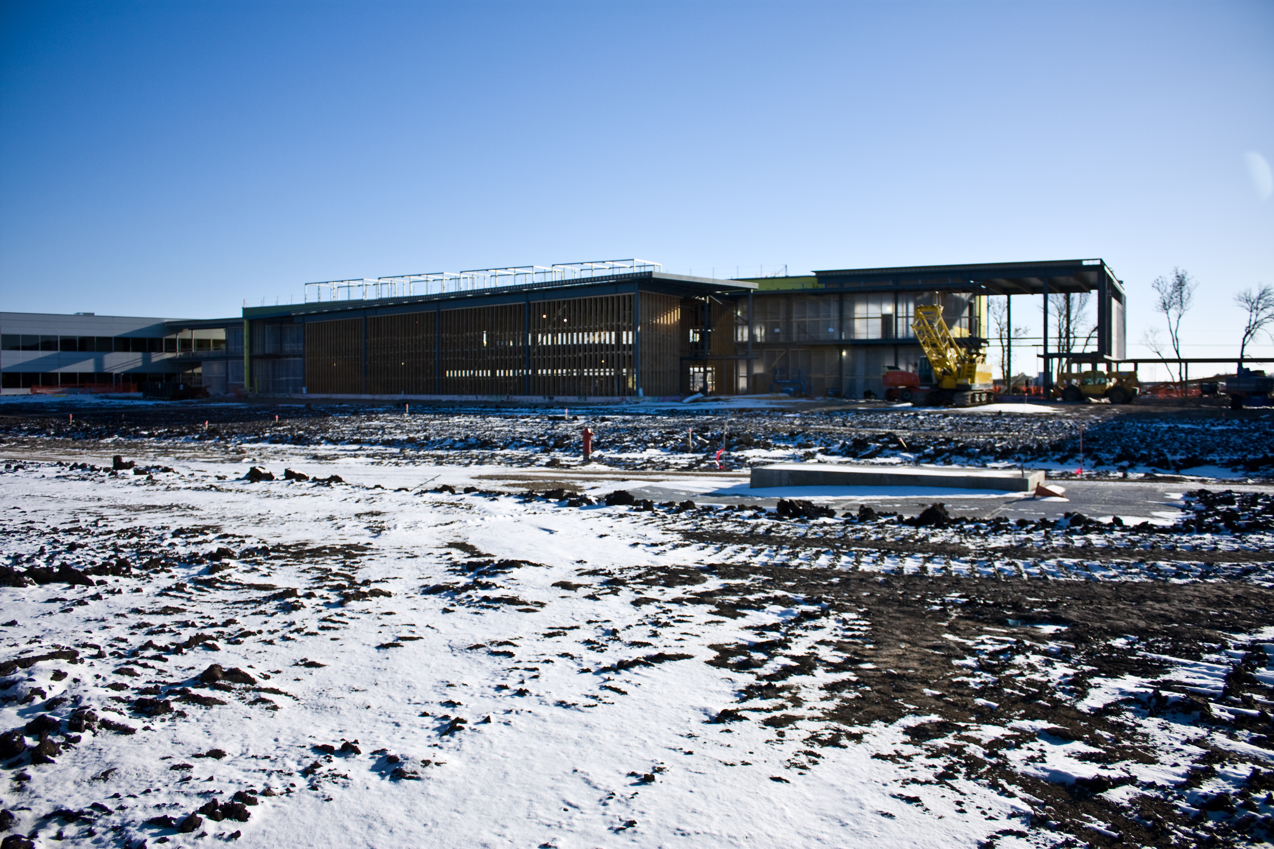
kcs4601mapleton-1

Down the line
South Fargo, before the storm
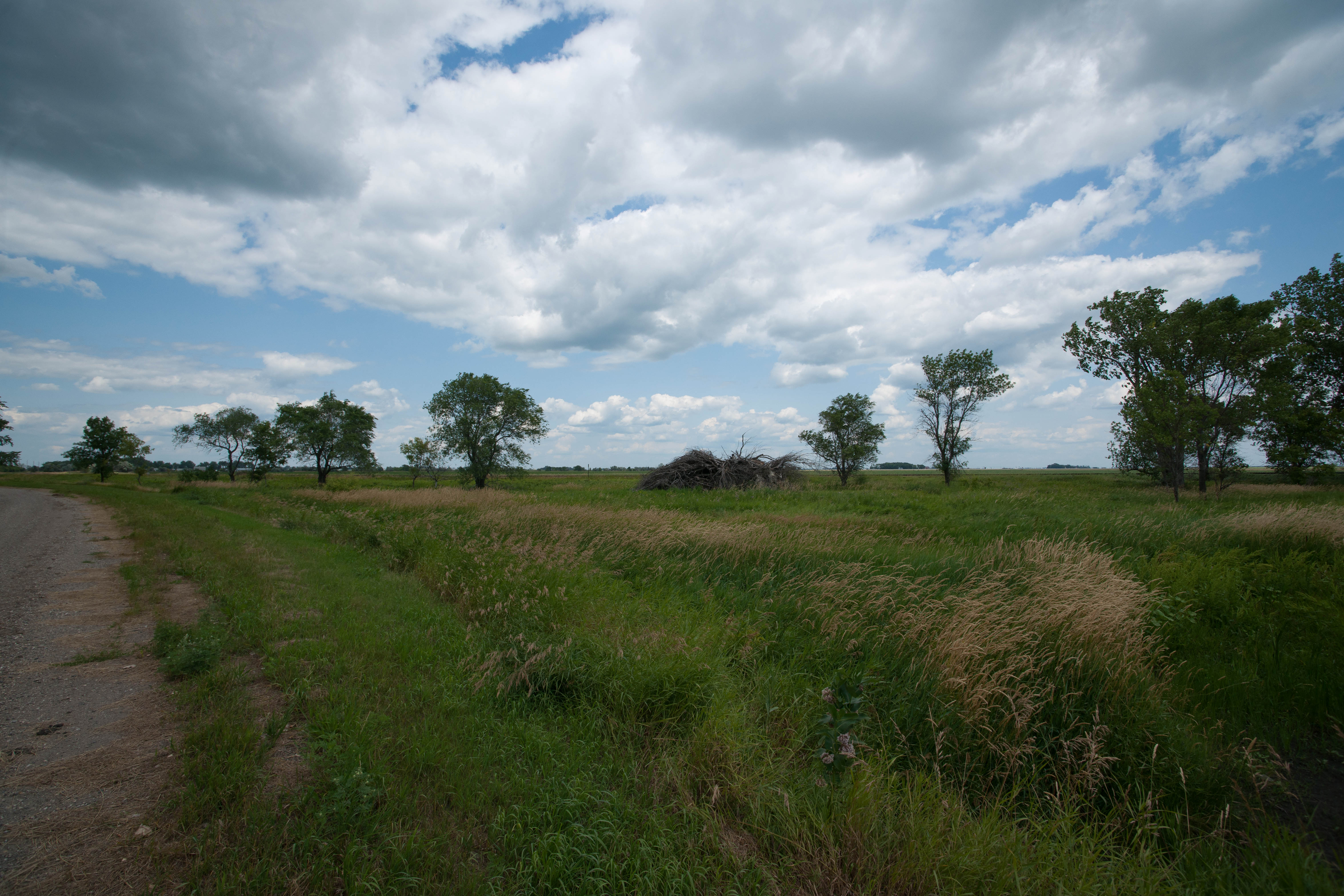
The lonliest hydrant
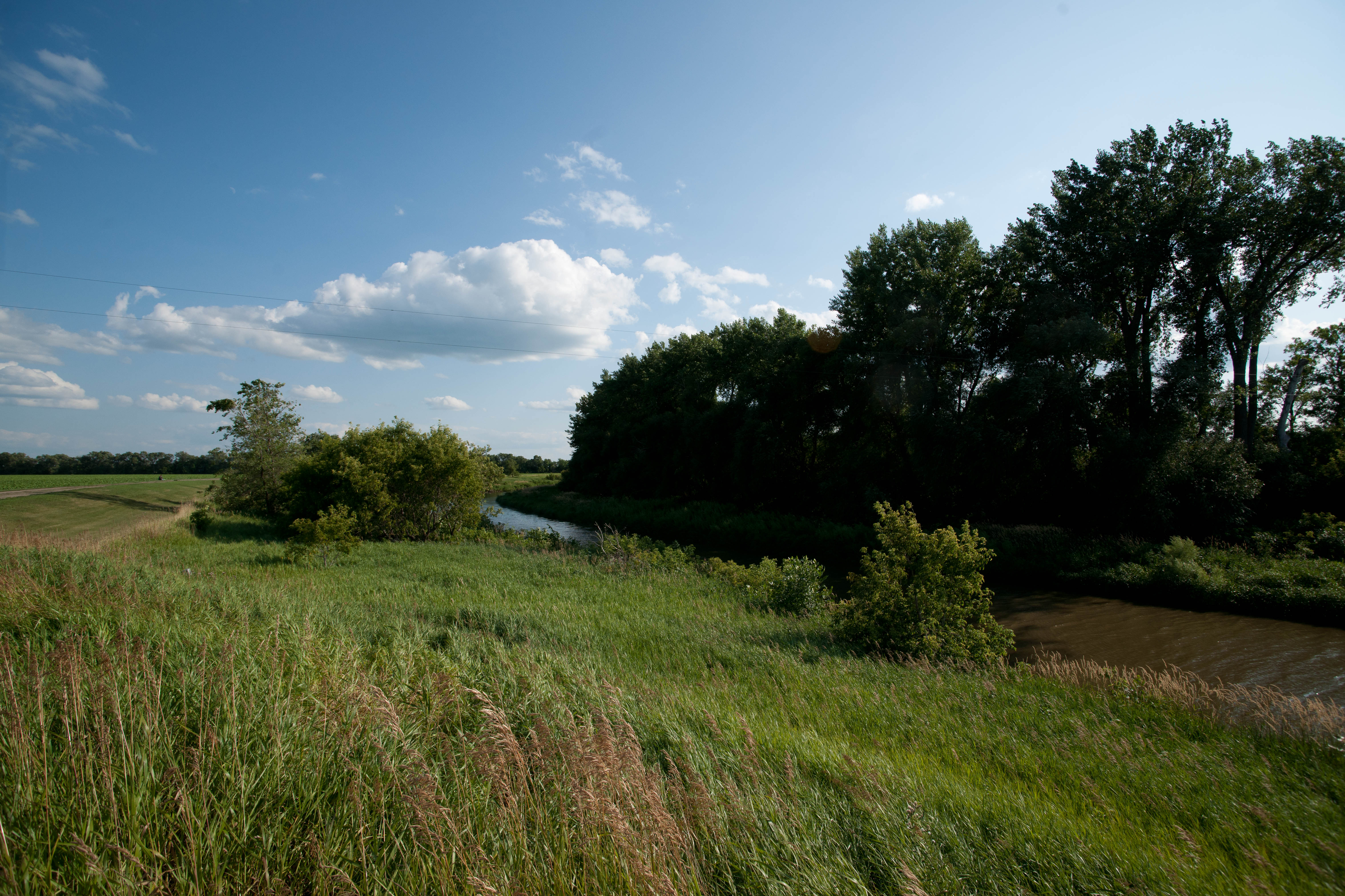
Everest, North Dakota
Everest, North Dakota
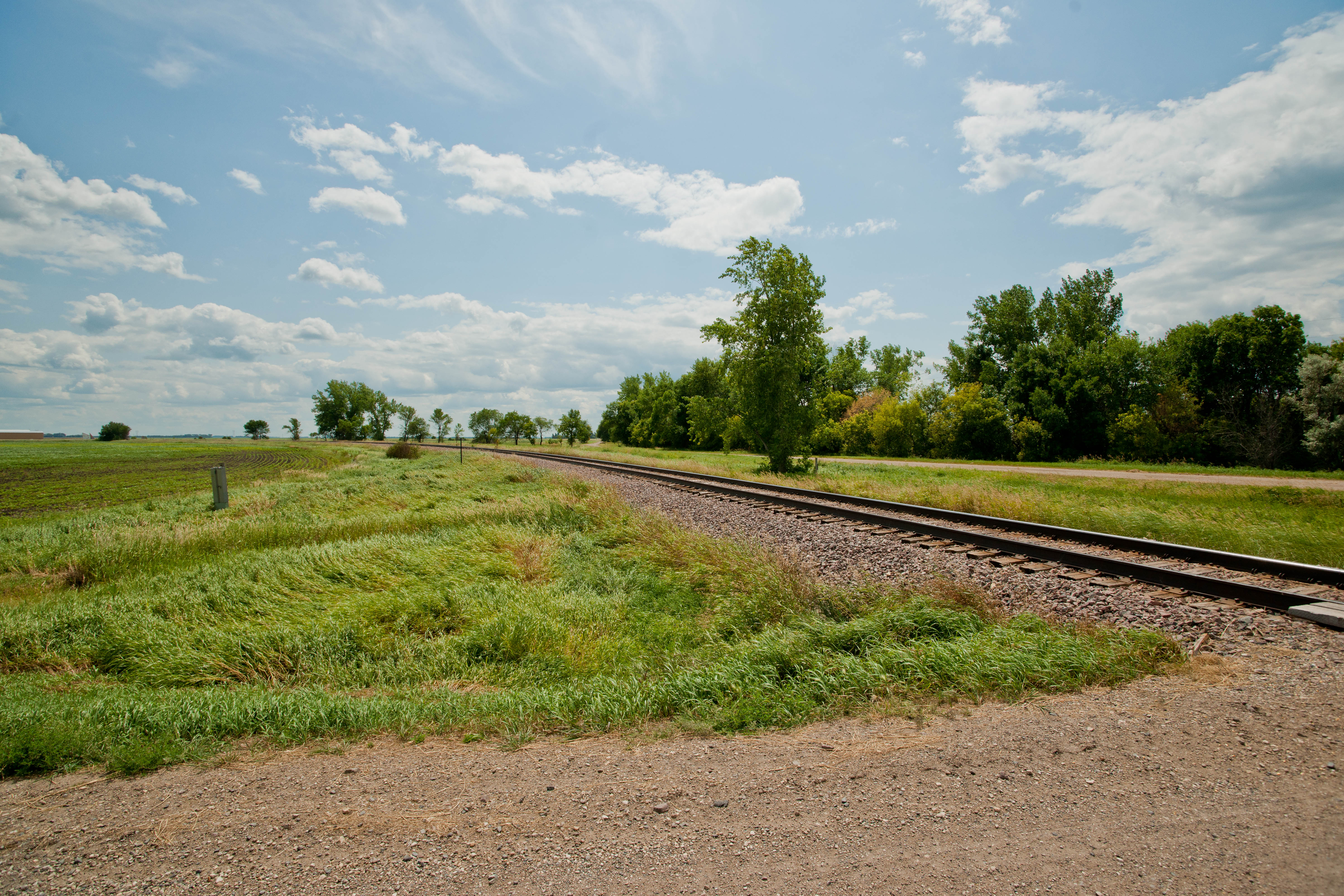
Addison Township, North Dakota
Addison Township, North Dakota
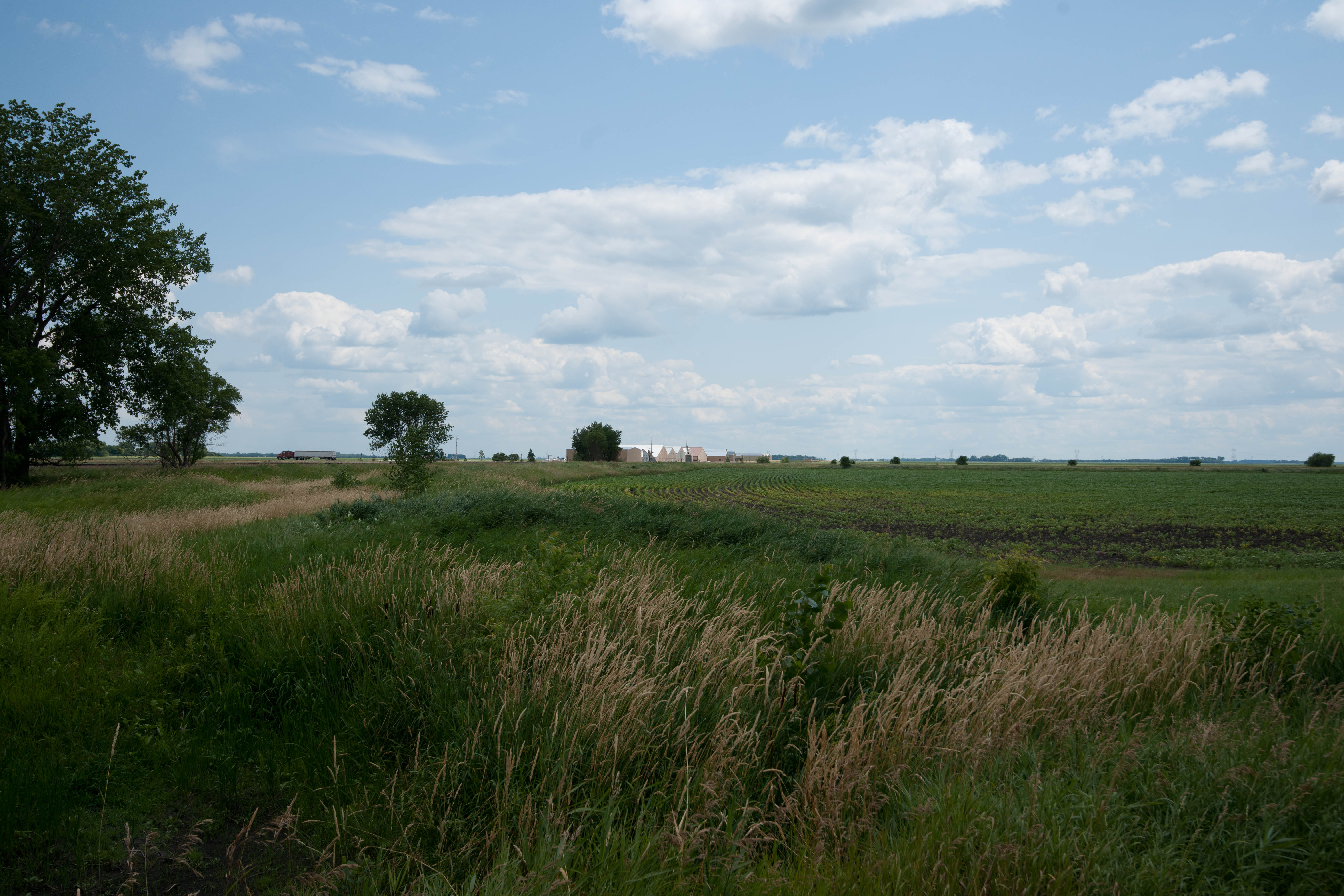
Everest, North Dakota
Everest, North Dakota
Eine Wiese in Fargo
Topographic Map of 41st St SE, Mapleton, ND, USA
Find elevation by address:

Places near 41st St SE, Mapleton, ND, USA:
500 Knutson St
Mapleton
Addison
Mapleton, ND, USA
Durbin
15916 45th St Se
Davenport
Harmony
15705 36th St Se
3766 156th Ave Se
3766 156th Ave Se
907 Governor's Dr
Casselton
Casselton
Everest
4159 154th Ave Se
th Ave SE, Wheatland, ND, USA
32nd St SE, Wheatland, ND, USA
Casselton
Amenia
Recent Searches:
- Elevation of Congressional Dr, Stevensville, MD, USA
- Elevation of Bellview Rd, McLean, VA, USA
- Elevation of Stage Island Rd, Chatham, MA, USA
- Elevation of Shibuya Scramble Crossing, 21 Udagawacho, Shibuya City, Tokyo -, Japan
- Elevation of Jadagoniai, Kaunas District Municipality, Lithuania
- Elevation of Pagonija rock, Kranto 7-oji g. 8"N, Kaunas, Lithuania
- Elevation of Co Rd 87, Jamestown, CO, USA
- Elevation of Tenjo, Cundinamarca, Colombia
- Elevation of Côte-des-Neiges, Montreal, QC H4A 3J6, Canada
- Elevation of Bobcat Dr, Helena, MT, USA