Elevation of th Ave, New London, IA, USA
Location: United States > Iowa > Des Moines County > Pleasant Grove >
Longitude: -91.287085
Latitude: 40.967987
Elevation: 224m / 735feet
Barometric Pressure: 99KPa
Elevation Map:
Satellite Map:
Related Photos:


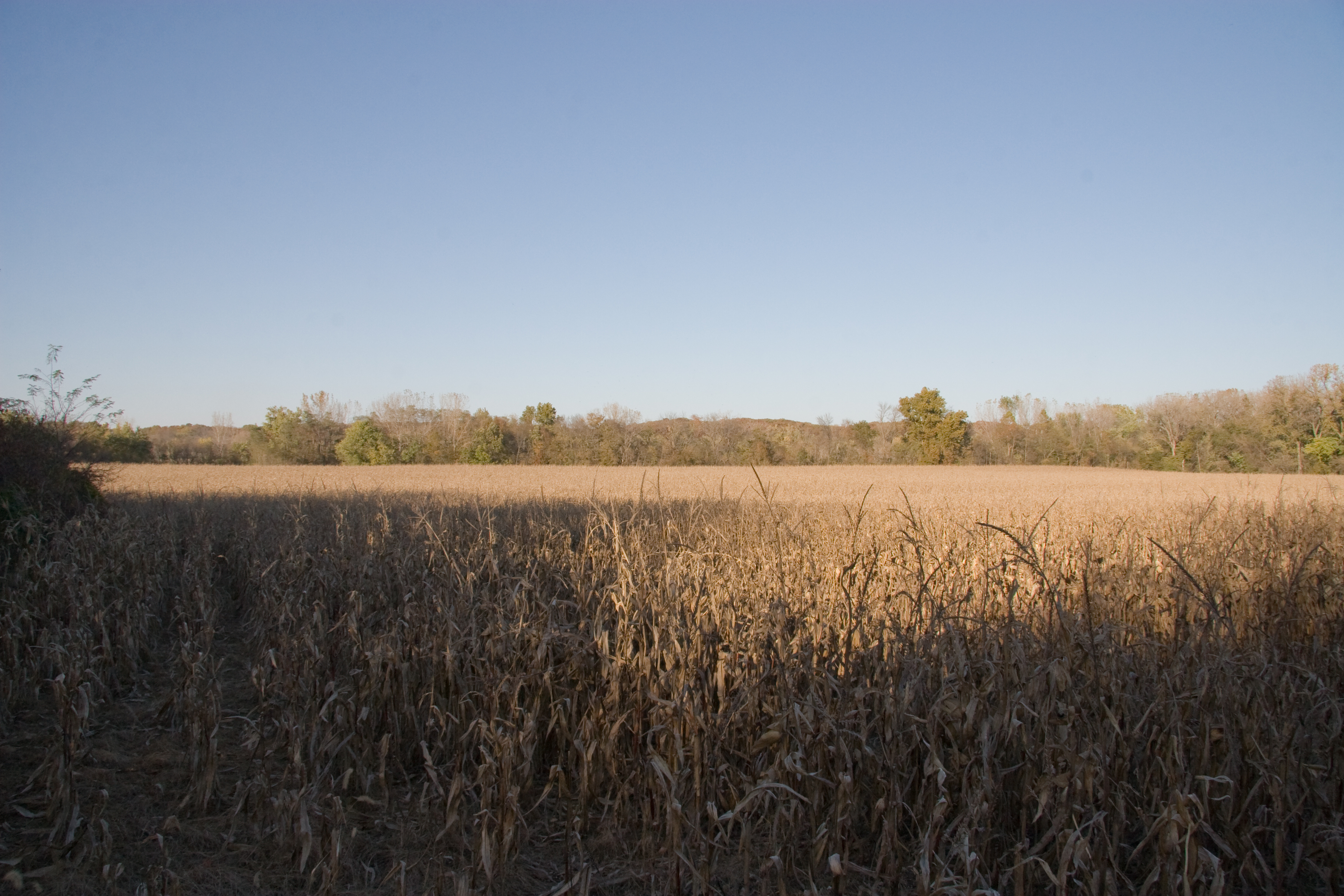
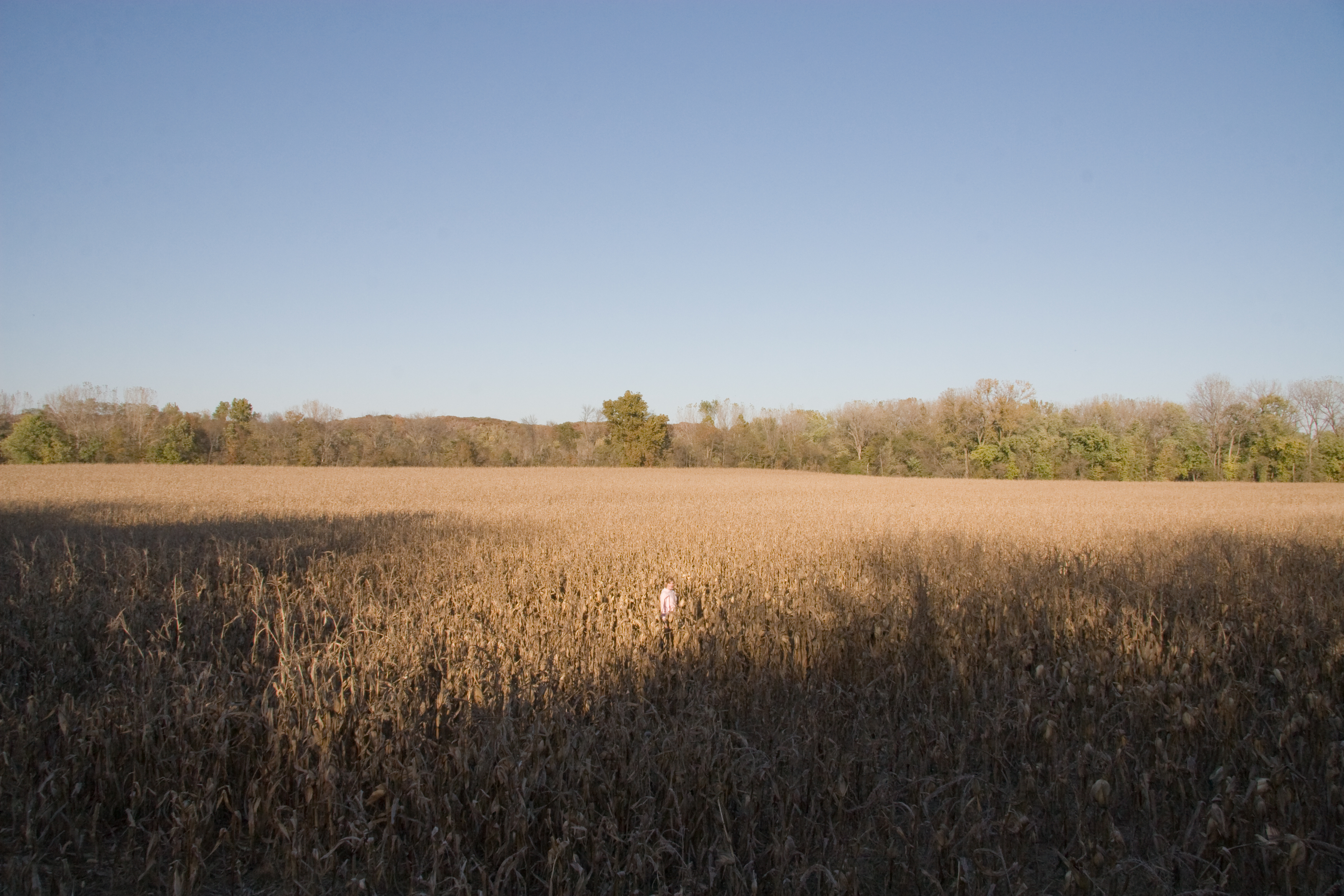
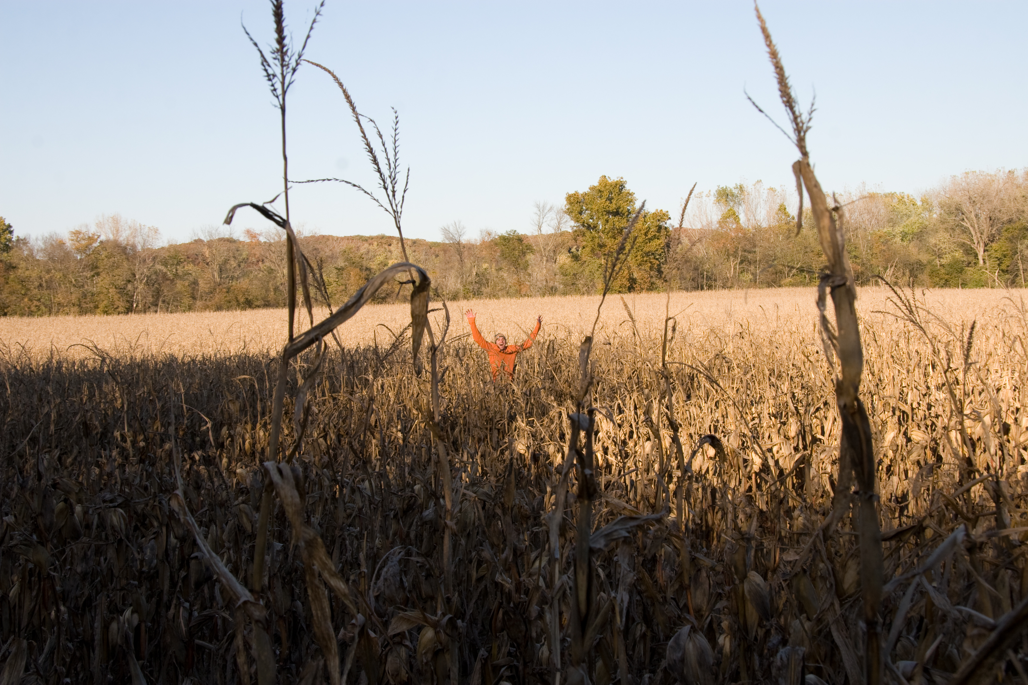
Dyana in a Corn Field
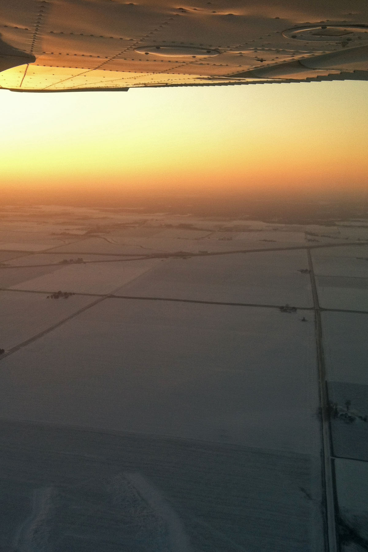
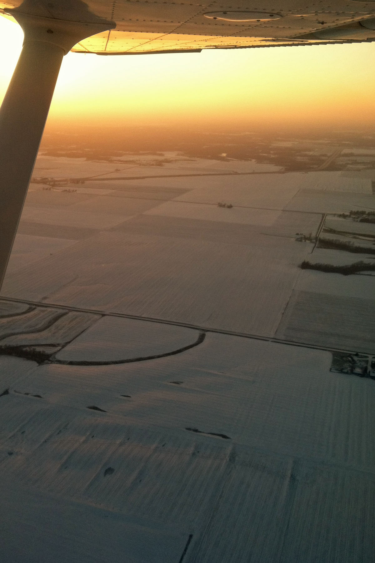
Flying in Burlington, IA

IMG_4192.jpg
IMG_4191.jpg
IMG_4194.jpg
IMG_4197.jpg

IMG_4195.jpg
Flying in Burlington, IA
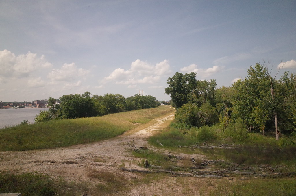
RI038178.JPG
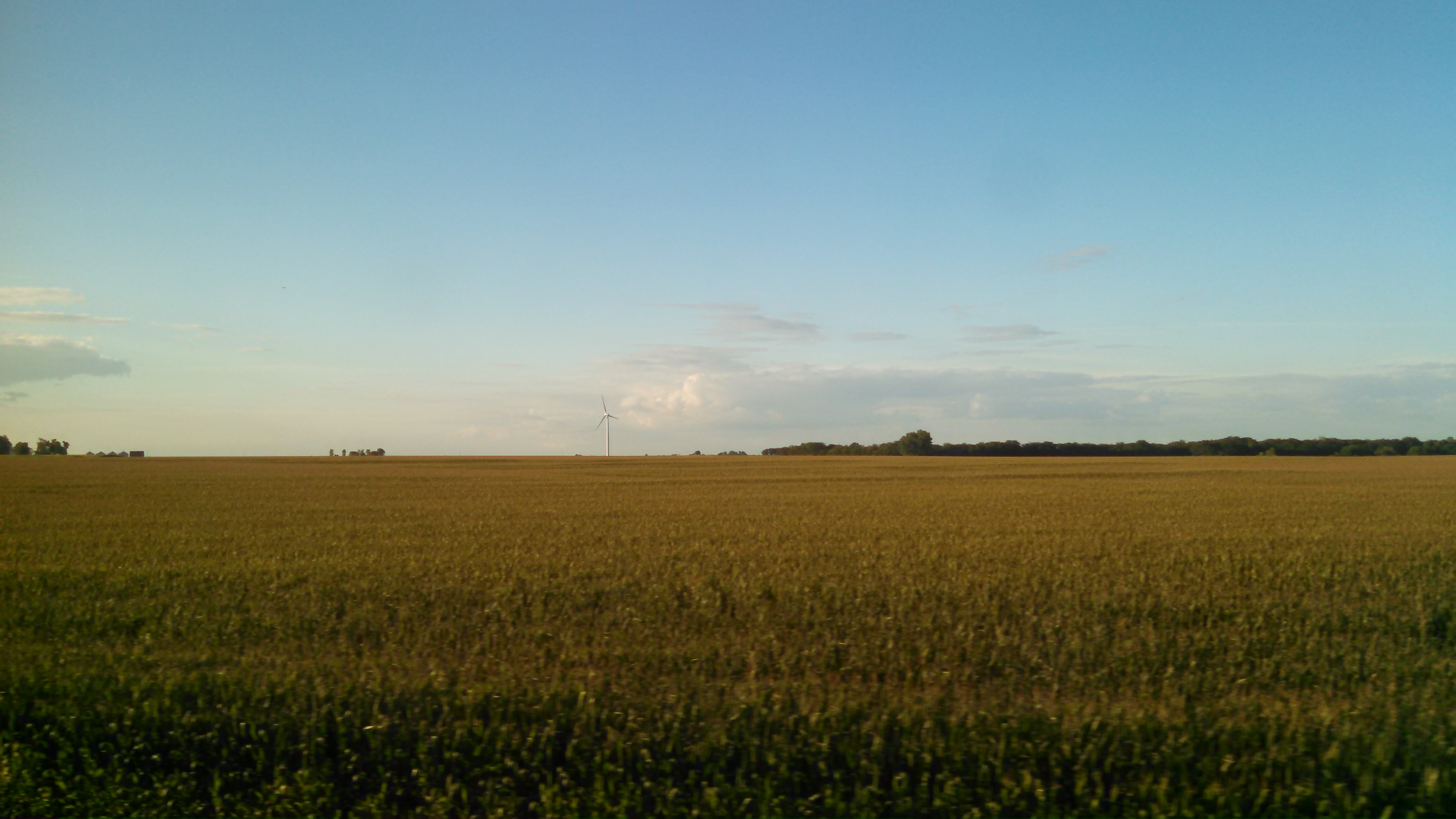
Turbines Over Iowa
Topographic Map of th Ave, New London, IA, USA
Find elevation by address:

Places near th Ave, New London, IA, USA:
Pleasant Grove
Washington
Eastern Ave, Yarmouth, IA, USA
Yarmouth
th St, Sperry, IA, USA
S Prairie Grove Rd, West Burlington, IA, USA
Franklin
Teal Rd, Sperry, IA, USA
E Michigan Ave, Danville, IA, USA
Danville
Des Moines County
Mediapolis
Main St, Mediapolis, IA, USA
214 Se 4th St
Sperry
15 N Washington St, Morning Sun, IA, USA
Morning Sun
Morning Sun
Flint River
Mechanic St, Middletown, IA, USA
Recent Searches:
- Elevation of Corso Fratelli Cairoli, 35, Macerata MC, Italy
- Elevation of Tallevast Rd, Sarasota, FL, USA
- Elevation of 4th St E, Sonoma, CA, USA
- Elevation of Black Hollow Rd, Pennsdale, PA, USA
- Elevation of Oakland Ave, Williamsport, PA, USA
- Elevation of Pedrógão Grande, Portugal
- Elevation of Klee Dr, Martinsburg, WV, USA
- Elevation of Via Roma, Pieranica CR, Italy
- Elevation of Tavkvetili Mountain, Georgia
- Elevation of Hartfords Bluff Cir, Mt Pleasant, SC, USA