Elevation of E Michigan Ave, Danville, IA, USA
Location: United States > Iowa > Des Moines County > Danville >
Longitude: -91.314314
Latitude: 40.864313
Elevation: 222m / 728feet
Barometric Pressure: 99KPa
Elevation Map:
Satellite Map:
Related Photos:
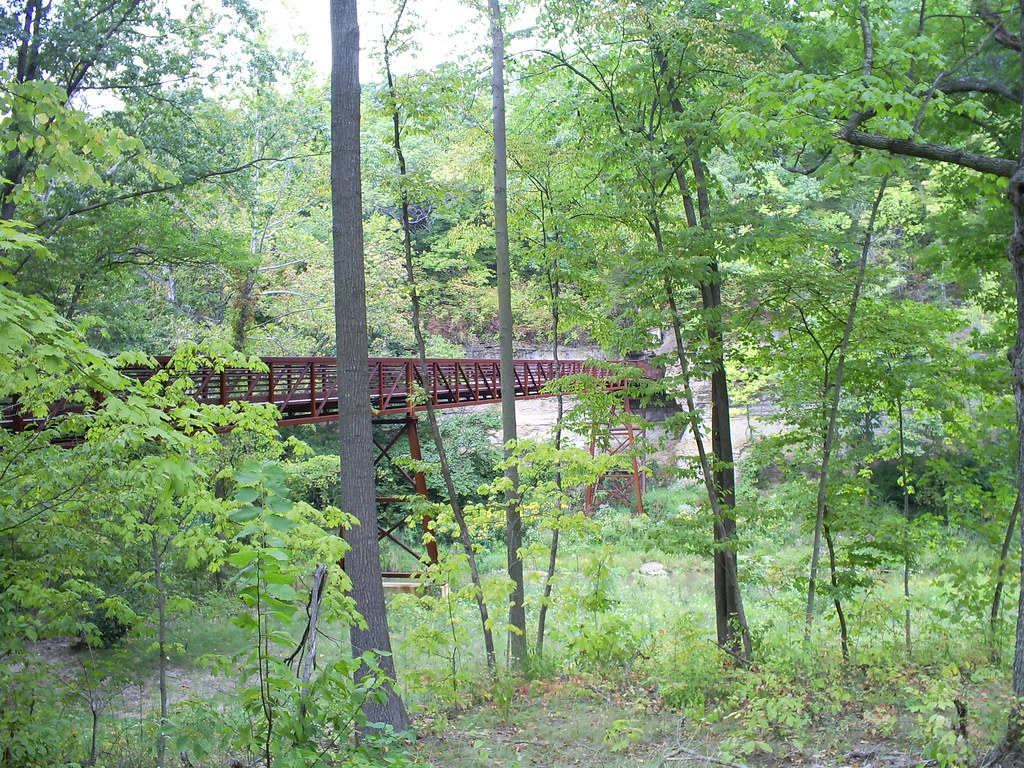
Bridge Leading to Cave II
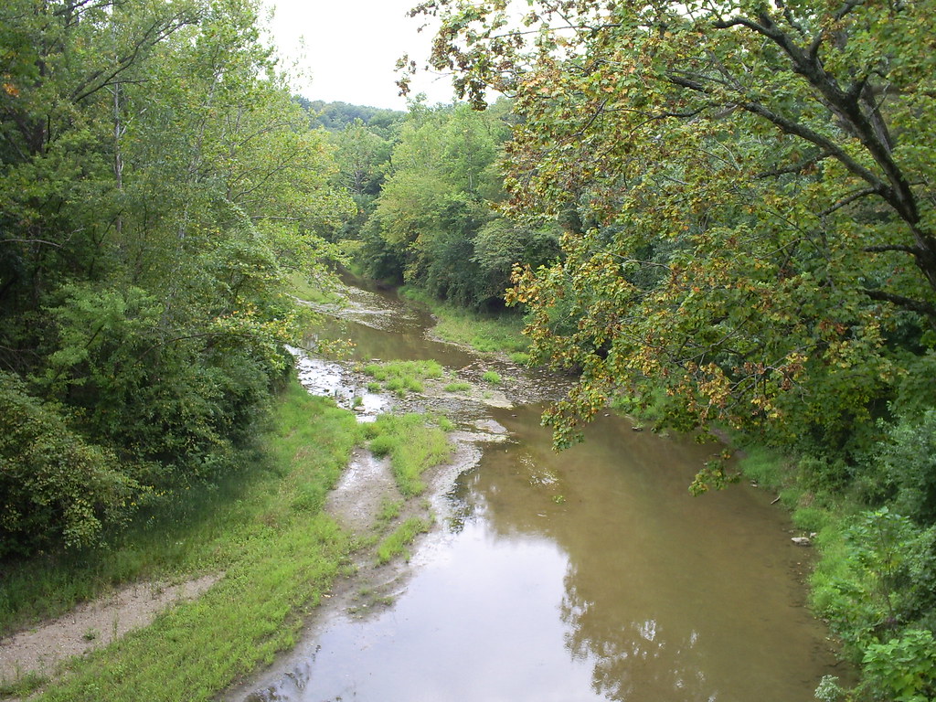
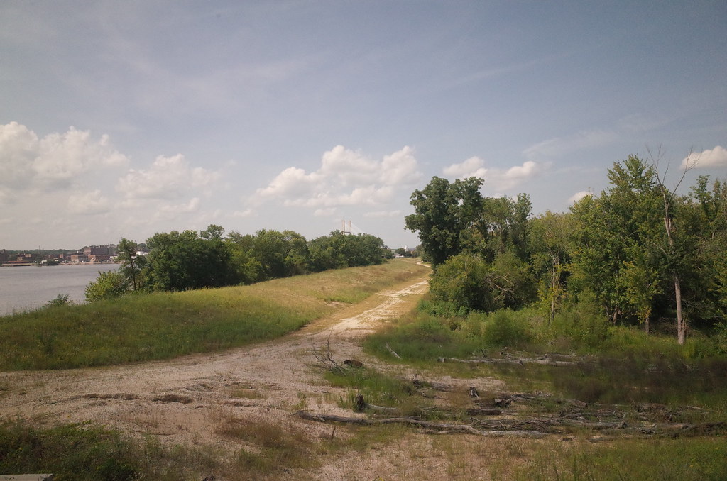
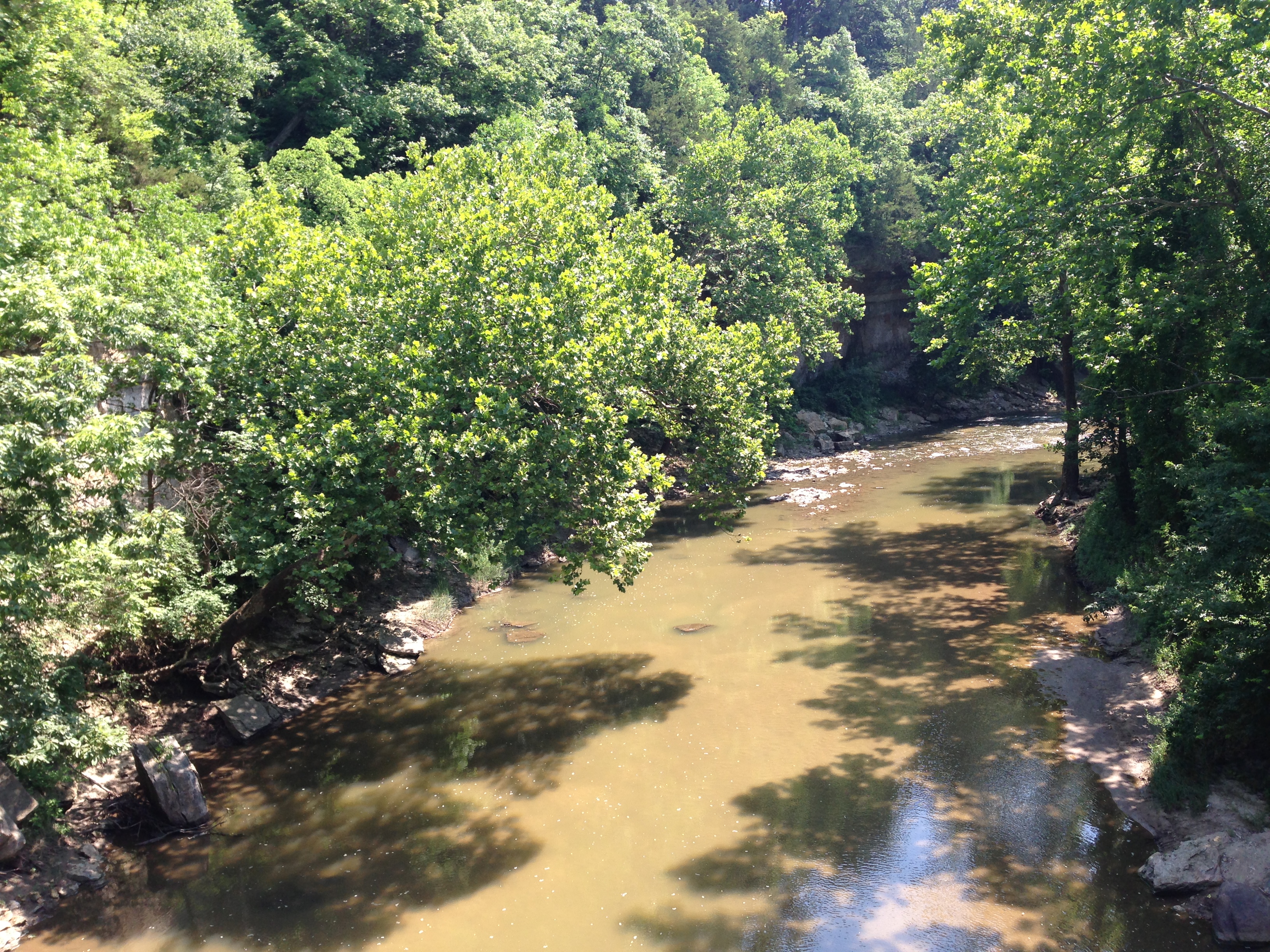
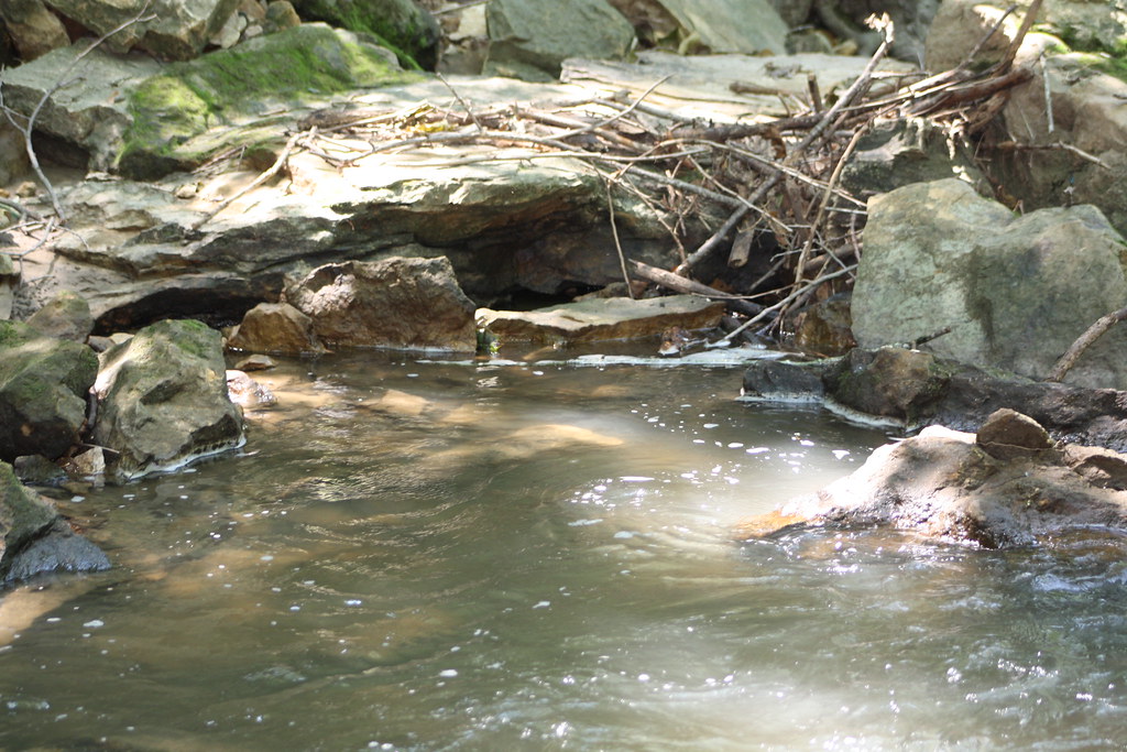
The View Downstream
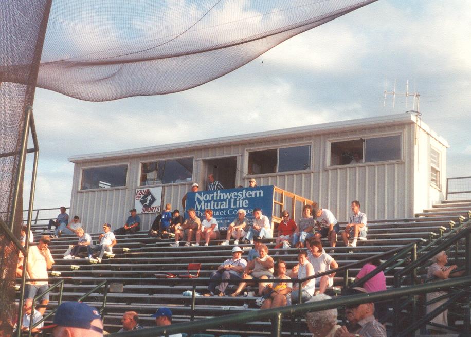
COMMUNITY FIELD GRANDSTAND
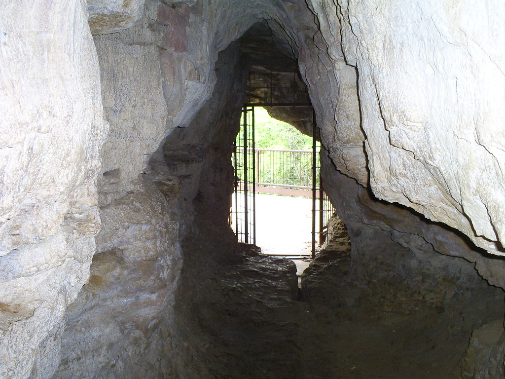
The Light at the End of the Tunnel II
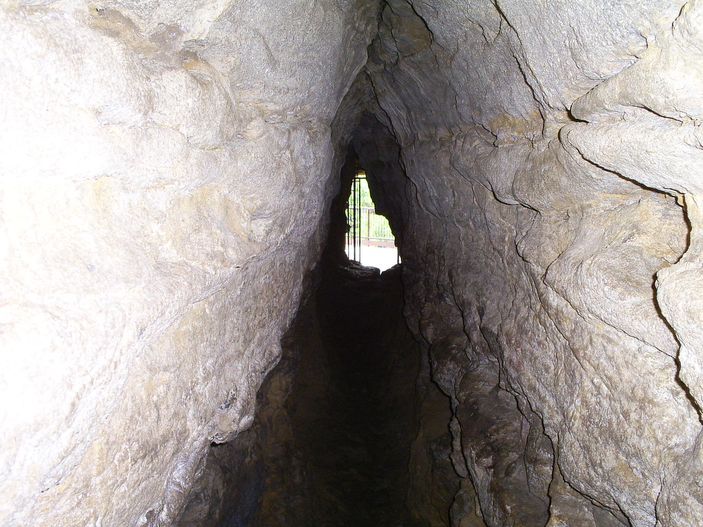
The Light at the End of the Tunnel
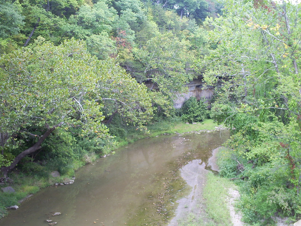
The View Upstream
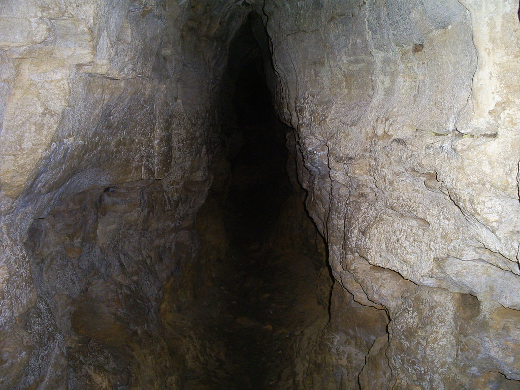
Cave Passage IV

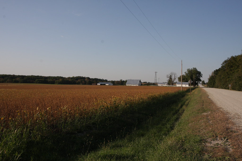
Autumn Cliché

Still Dark

Spring Won't Wait

Storm Chasin'

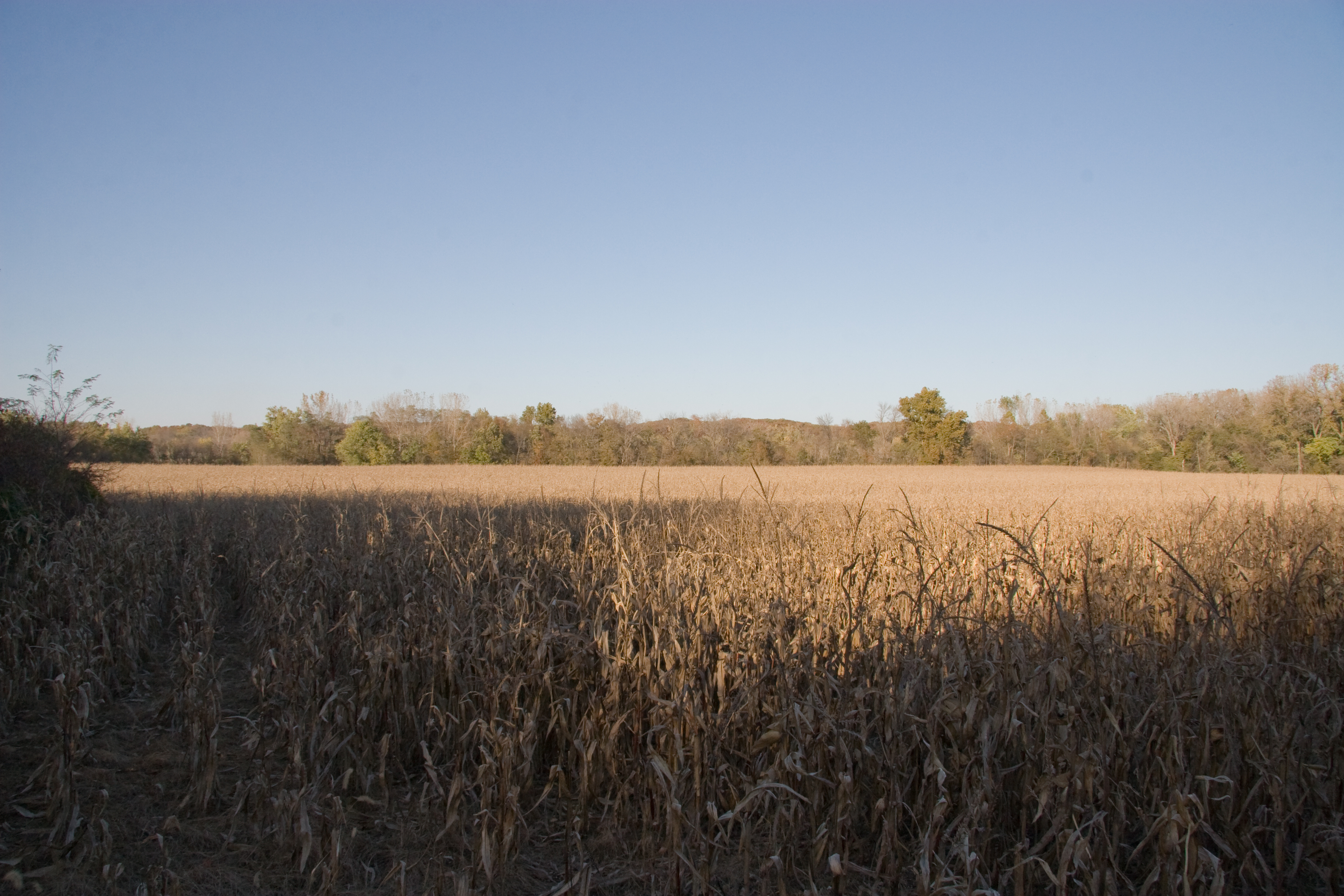
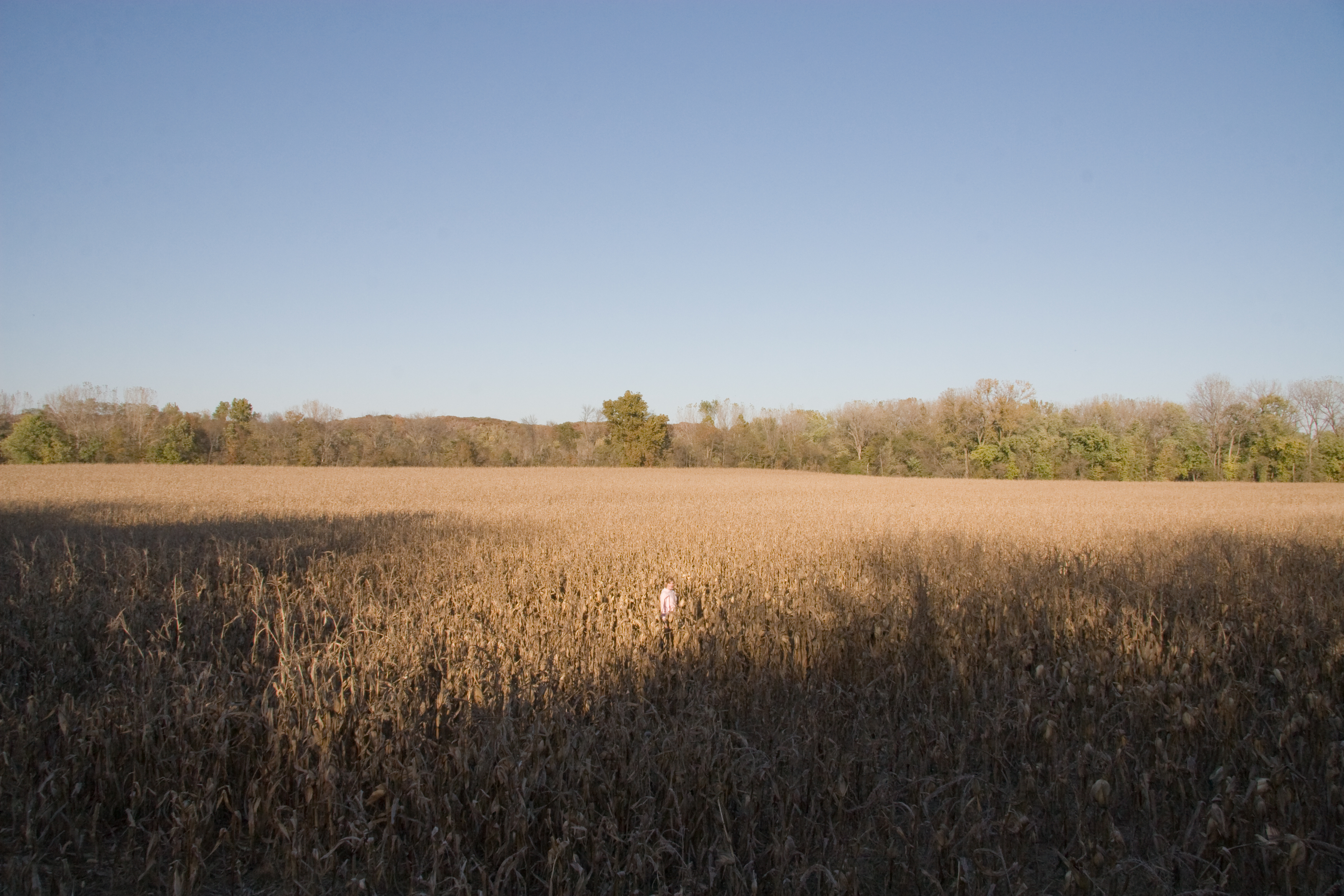
Dyana in a Corn Field
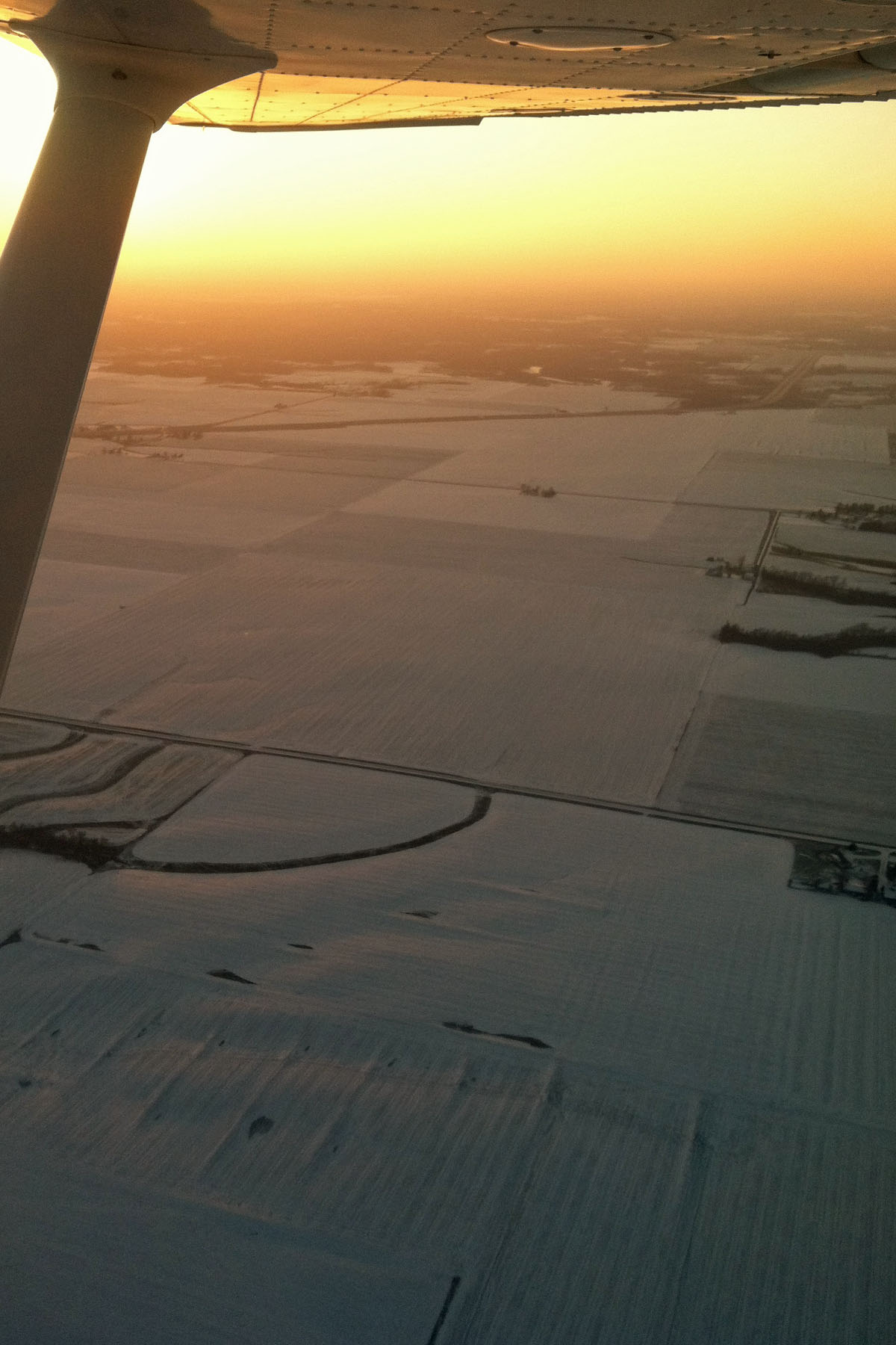
Flying in Burlington, IA
RI038178.JPG
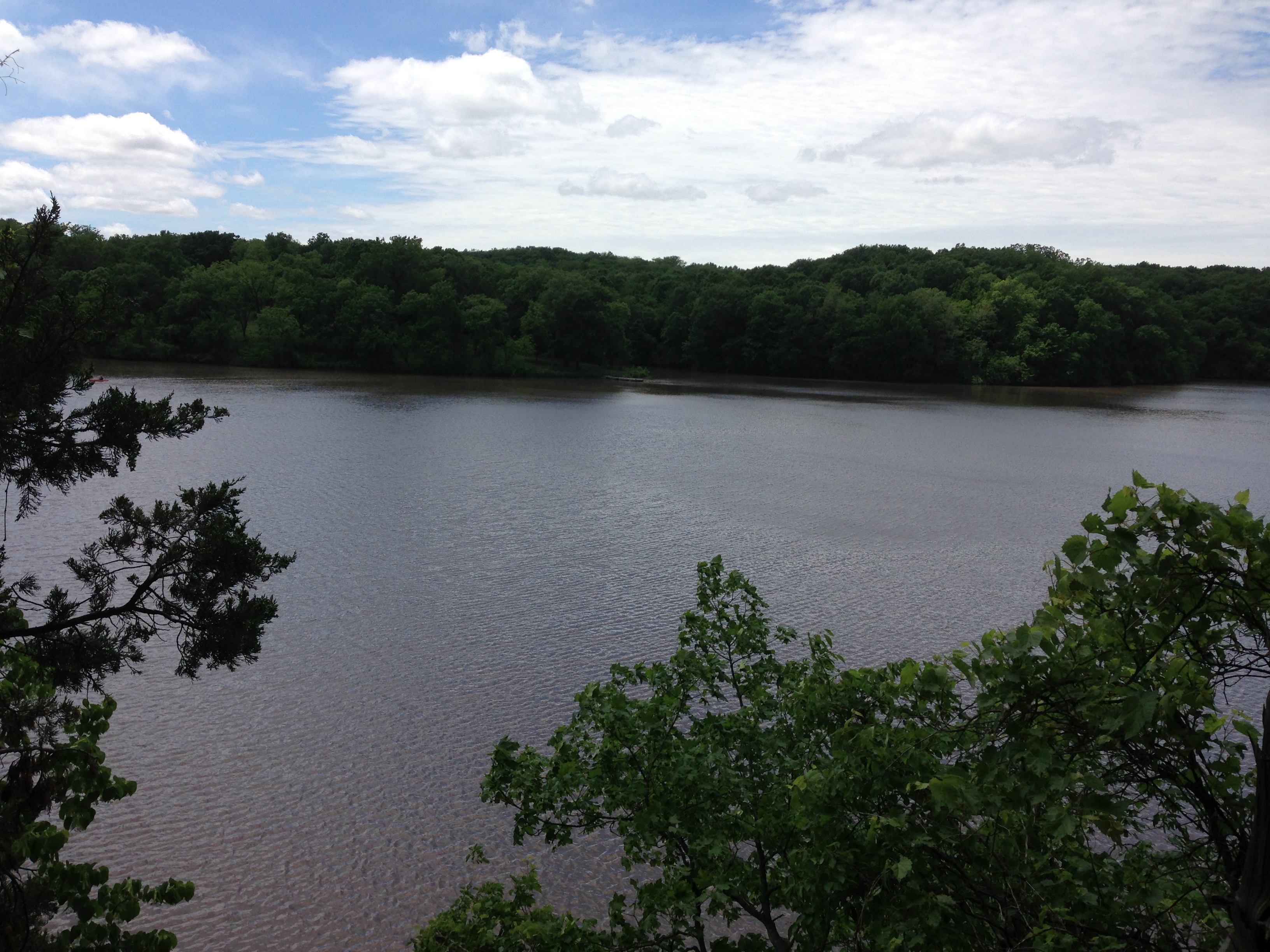
Geode State Park Lake

IMG_4192.jpg
IMG_4191.jpg
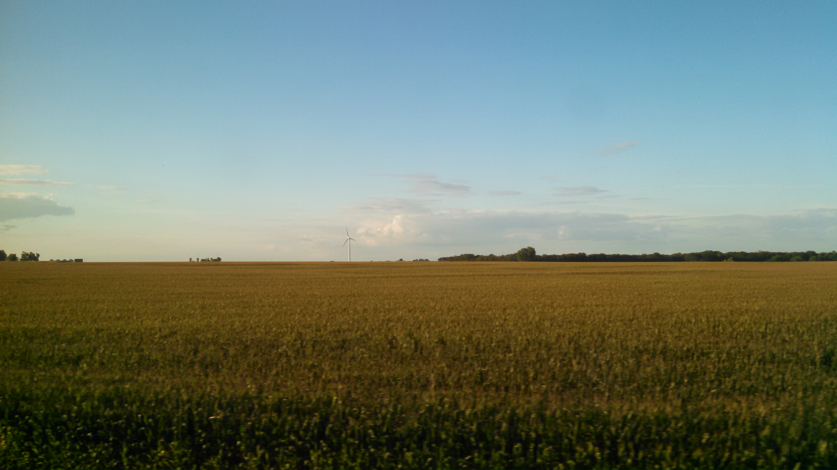
Turbines Over Iowa
IMG_12323.JPG
IMG_4194.jpg
IMG_4197.jpg

IMG_4195.jpg
IMG_0268[1]
Geode State Park
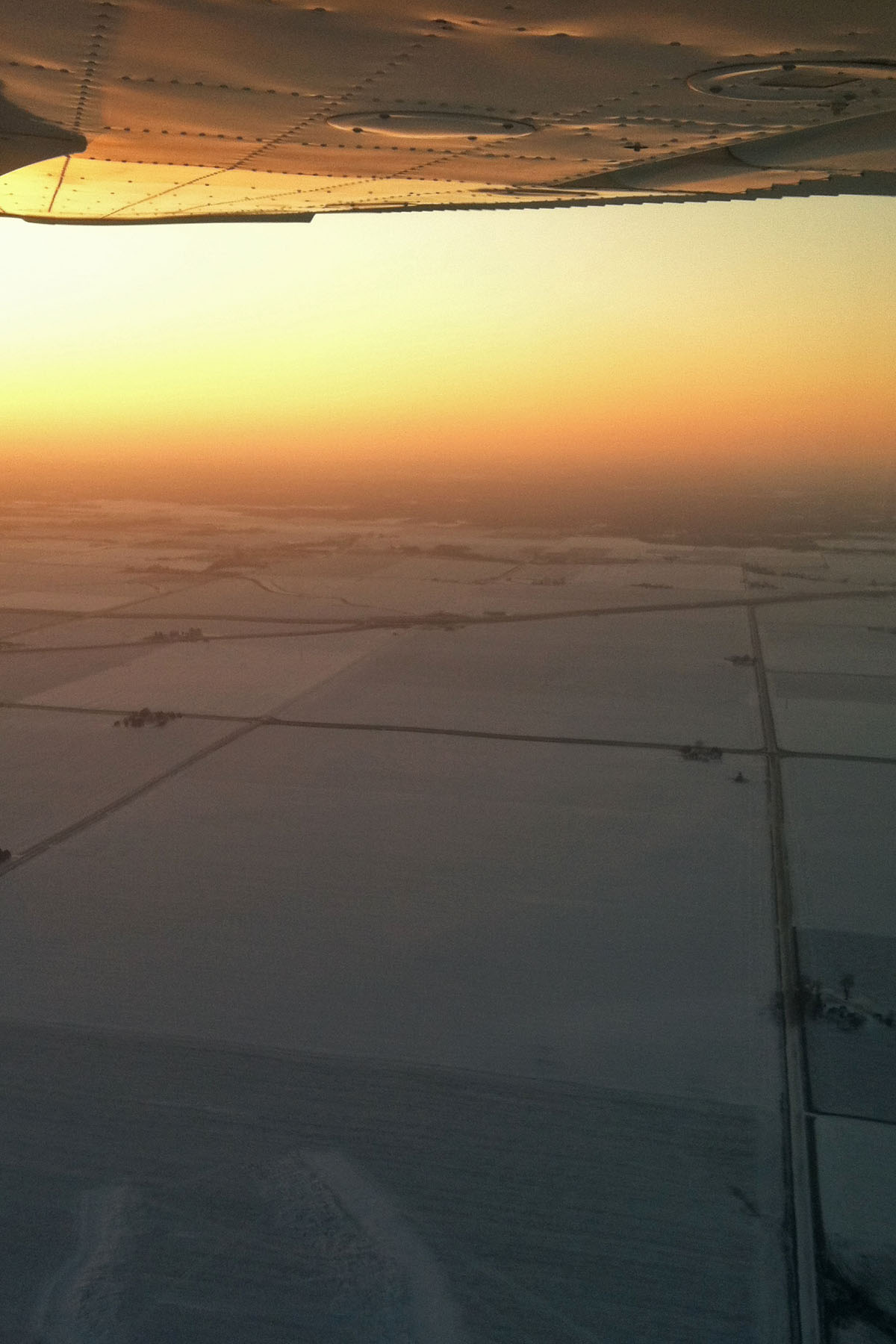
Flying in Burlington, IA
Topographic Map of E Michigan Ave, Danville, IA, USA
Find elevation by address:

Places near E Michigan Ave, Danville, IA, USA:
Danville
S Prairie Grove Rd, West Burlington, IA, USA
Middletown
Mechanic St, Middletown, IA, USA
Pleasant Grove
Beaverdale
Flint River
th St, Sperry, IA, USA
Teal Rd, Sperry, IA, USA
Franklin
Des Moines County
13179 Us-61
710 Ramsey St
West Burlington
East Pennington Street
U.s. 61
828 Cindy Dr
2901 Garden Ave
2901 Garden Ave
Magnolia Lane
Recent Searches:
- Elevation of Bratskaya Ulitsa, 24, Kurgan, Kurganskaya oblast', Russia
- Elevation of Paradisvegen, Biri, Norway
- Elevation of Crystal Cir, Birmingham, AL, USA
- Elevation of N Railroad Ave, West Palm Beach, FL, USA
- Elevation of 55 Cassick Valley Rd, Wellfleet, MA, USA
- Elevation of Ironwood Dr, Minden, NV, USA
- Elevation of 高尾山口駅, Takaomachi, Hachioji, Tokyo -, Japan
- Elevation of 15 Victory Ave, Greenville, SC, USA
- Elevation of Kota Ternate Utara, Ternate City, North Maluku, Indonesia
- Elevation of Allon St, Oceanside, NY, USA