Elevation of th Ave NE, Isanti, MN, USA
Location: United States > Minnesota > Isanti County >
Longitude: -93.234714
Latitude: 45.4554948
Elevation: 283m / 928feet
Barometric Pressure: 98KPa
Elevation Map:
Satellite Map:
Related Photos:
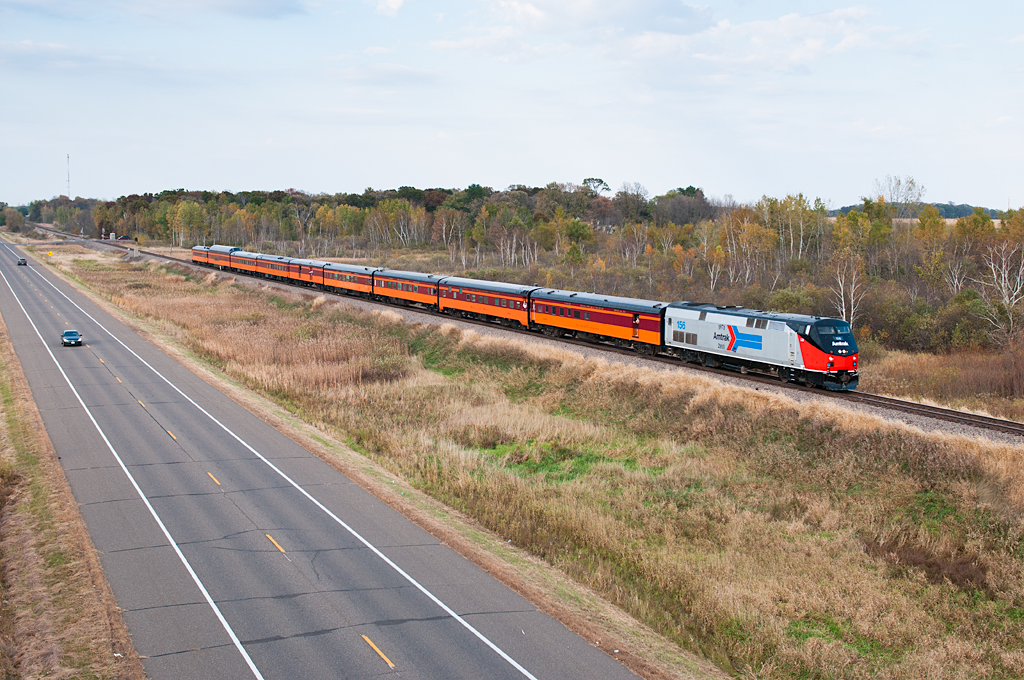
Amtrak 156 Cambridge

lensbaby_03302010-2

Cambridge, MN
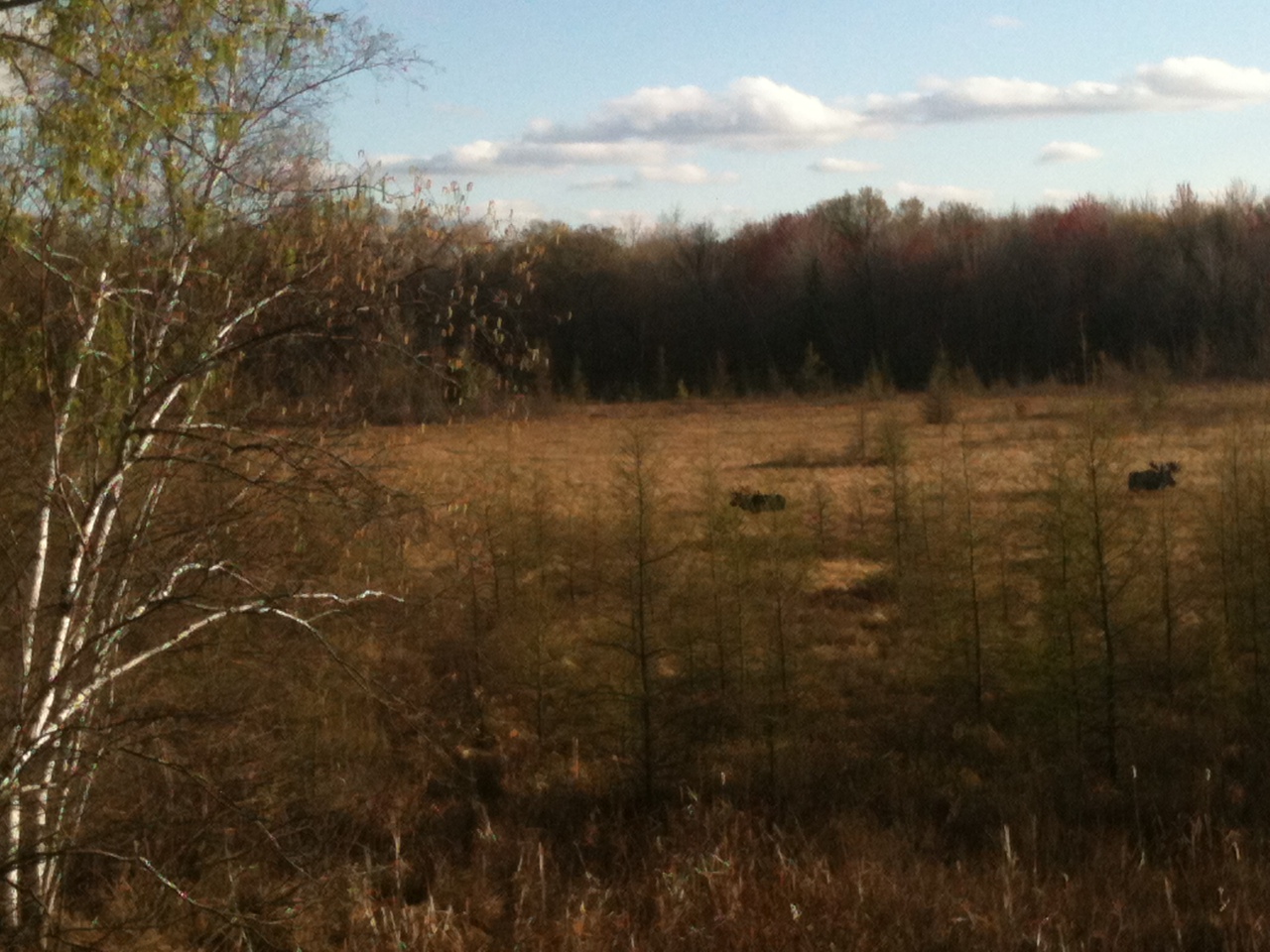
Is that a moose? Elk?
Rooms With a View

Sunset Landscape

Red Barn

Fall Landscapes & Colors

Sunrise Landscape

Sunrise Landscape

Sunrise Landscape

Sunrise Landscape

Sunrise Landscape

Sunrise Landscape

Sunrise Landscape

Sunrise Landscape

Sunrise Landscape

Sunrise Landscape

Sunrise Landscape

Sunrise Landscape

Sunset Landscape

Sunset Landscape

Sunset Landscape

Sunrise Landscapes

Sunset Landscape

Sunrise Landscape
Topographic Map of th Ave NE, Isanti, MN, USA
Find elevation by address:

Places near th Ave NE, Isanti, MN, USA:
Isanti
26580 Rum River Dr Nw
Main St NW, Bethel, MN, USA
109 Main St
Bethel
27451 Flamingo St Nw
Isanti Township
th Ave NE, Isanti, MN, USA
1943 Jenkins St Ne
1809 211th Ave Ne
Tucker St NE, Isanti, MN, USA
Cambridge
Cedar East Bethel
U-pull R-parts
th Ave NW, Isanti, MN, USA
The Scotsman
Rendova Cir NE, Cambridge, MN, USA
32158 Lever St Ne
The Ponds Golf Course
Anoka County
Recent Searches:
- Elevation of E 63rd St, New York, NY, USA
- Elevation of Elk City, OK, USA
- Elevation of Erika Dr, Windsor, CA, USA
- Elevation of Village Ln, Finleyville, PA, USA
- Elevation of 24 Oakland Rd #, Scotland, ON N0E 1R0, Canada
- Elevation of Deep Gap Farm Rd E, Mill Spring, NC, USA
- Elevation of Dog Leg Dr, Minden, NV, USA
- Elevation of Dog Leg Dr, Minden, NV, USA
- Elevation of Kambingan Sa Pansol Atbp., Purok 7 Pansol, Candaba, Pampanga, Philippines
- Elevation of Pinewood Dr, New Bern, NC, USA