Elevation of th Ave NE, Arlington, WA, USA
Location: United States > Washington > Snohomish County > Arlington >
Longitude: -121.99444
Latitude: 48.10354
Elevation: 80m / 262feet
Barometric Pressure: 100KPa
Elevation Map:
Satellite Map:
Related Photos:
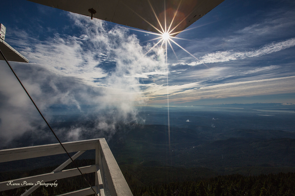
Sun Kissed
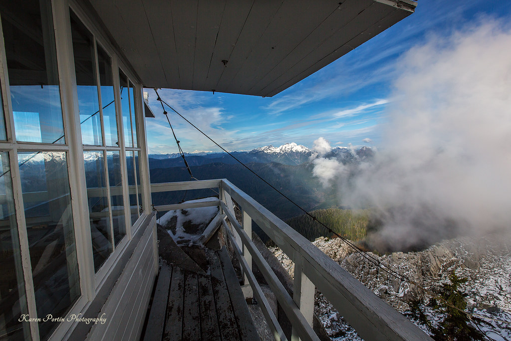
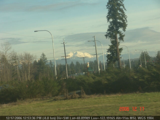
Mt. Pilchuck Weather
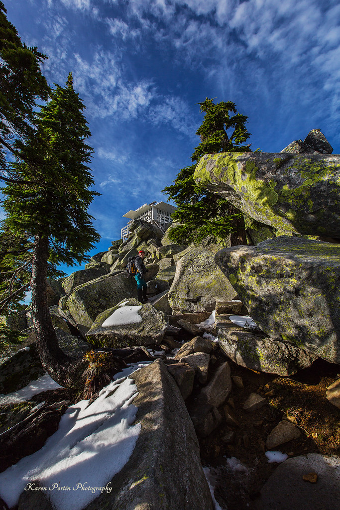
lookout view
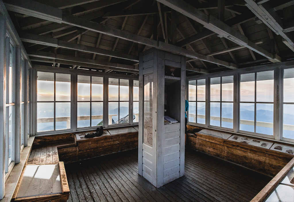
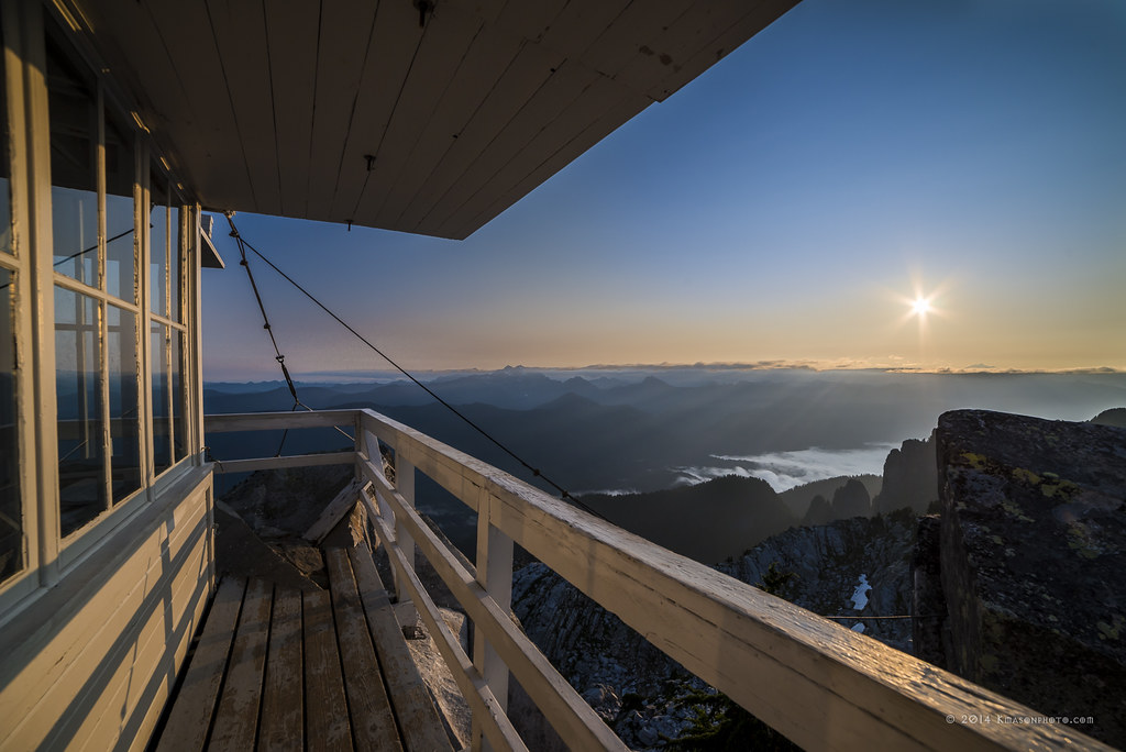
At Last! The Lookout!
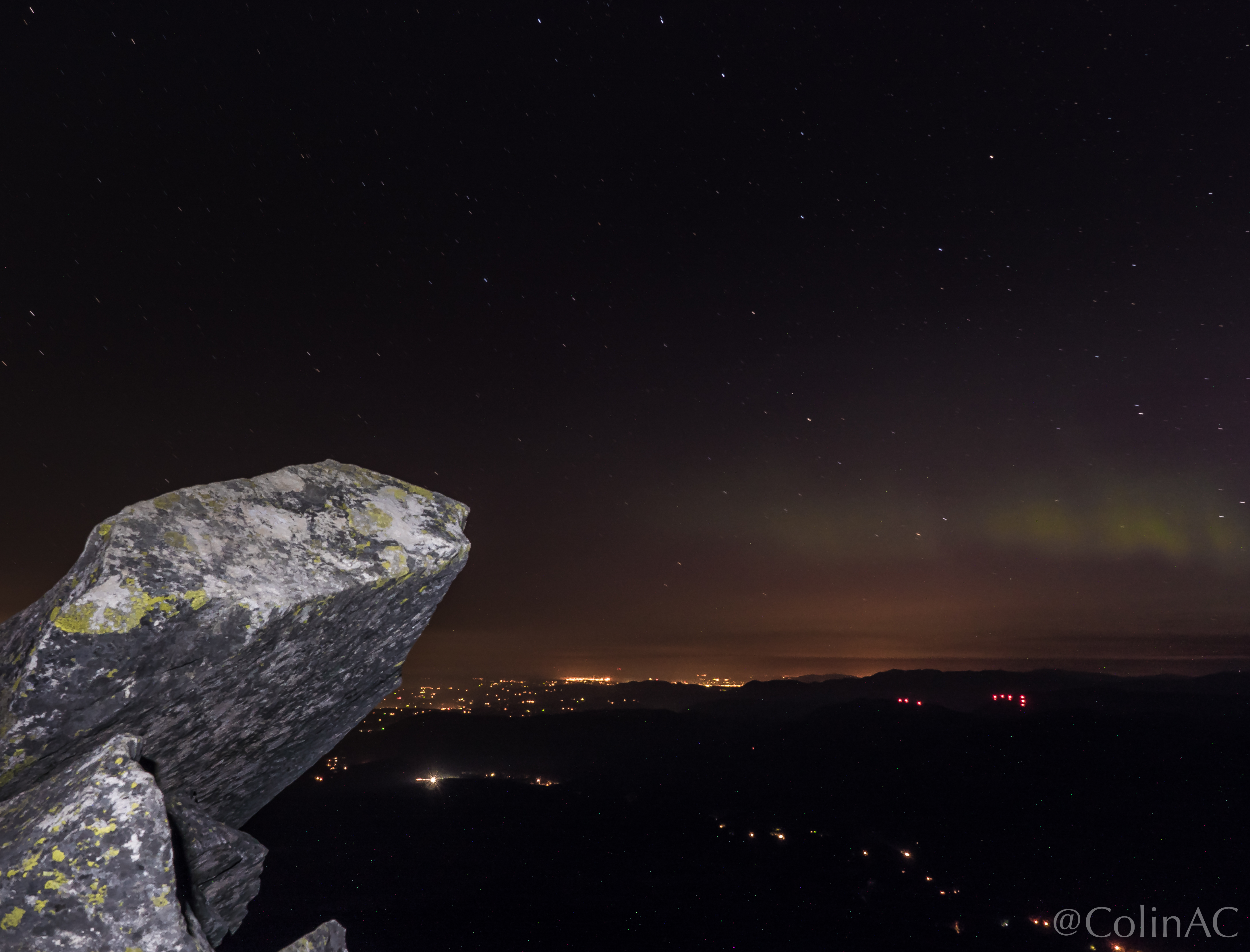
Northern Lights, Aurora Borealis, Night Hike to Mount Pilchuck - June 2015
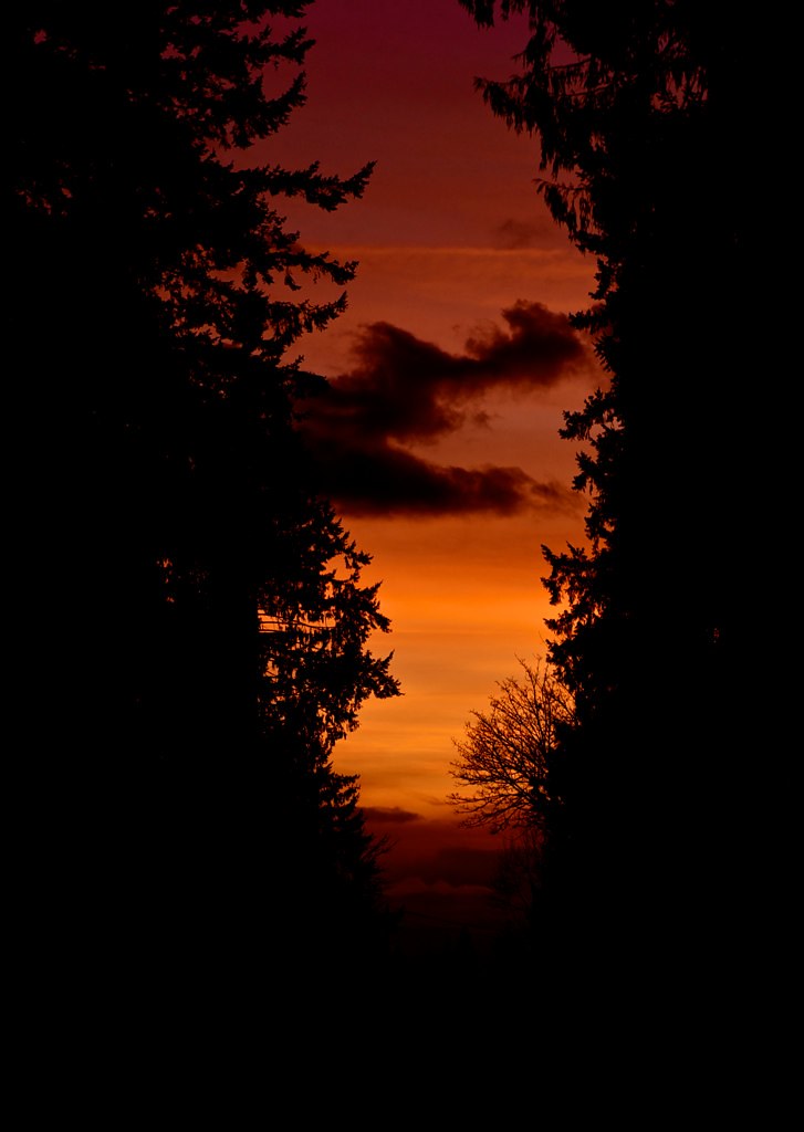
Sunset through the trees
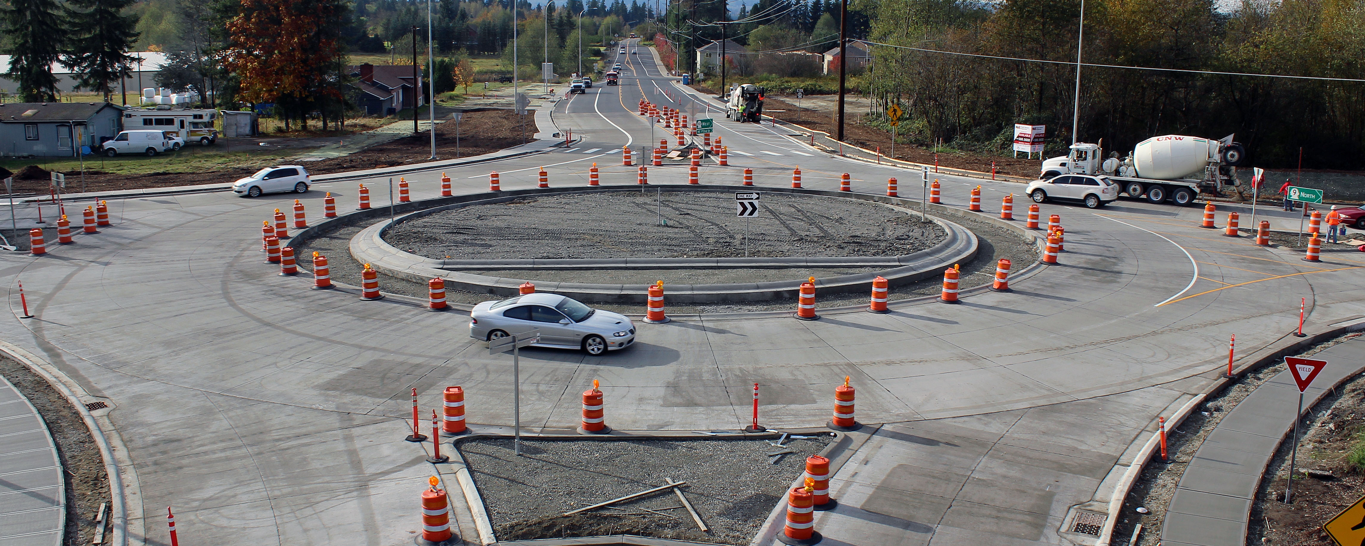
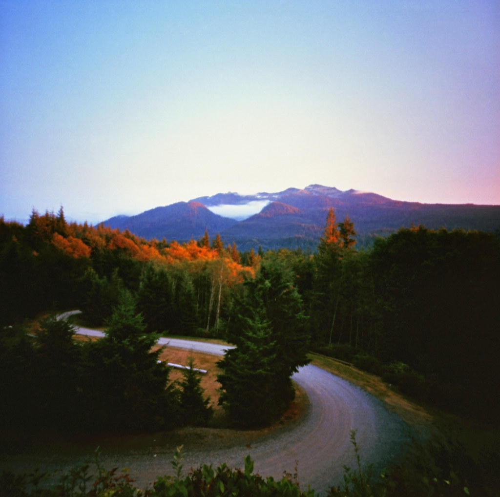
New SR 9 roundabout in Arlington
Sunrise from the summit of Pilchuck

Diamond T Flatbed ( Explored ).
The Mountain
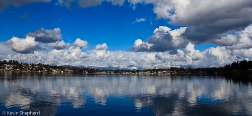
View of Lake Stevens

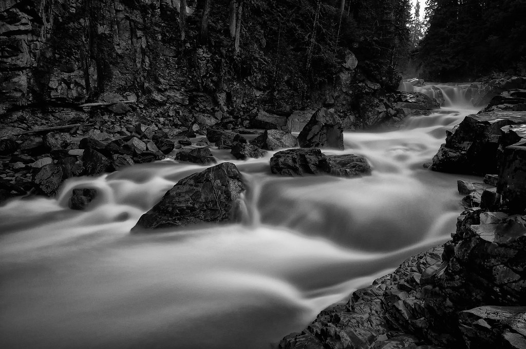
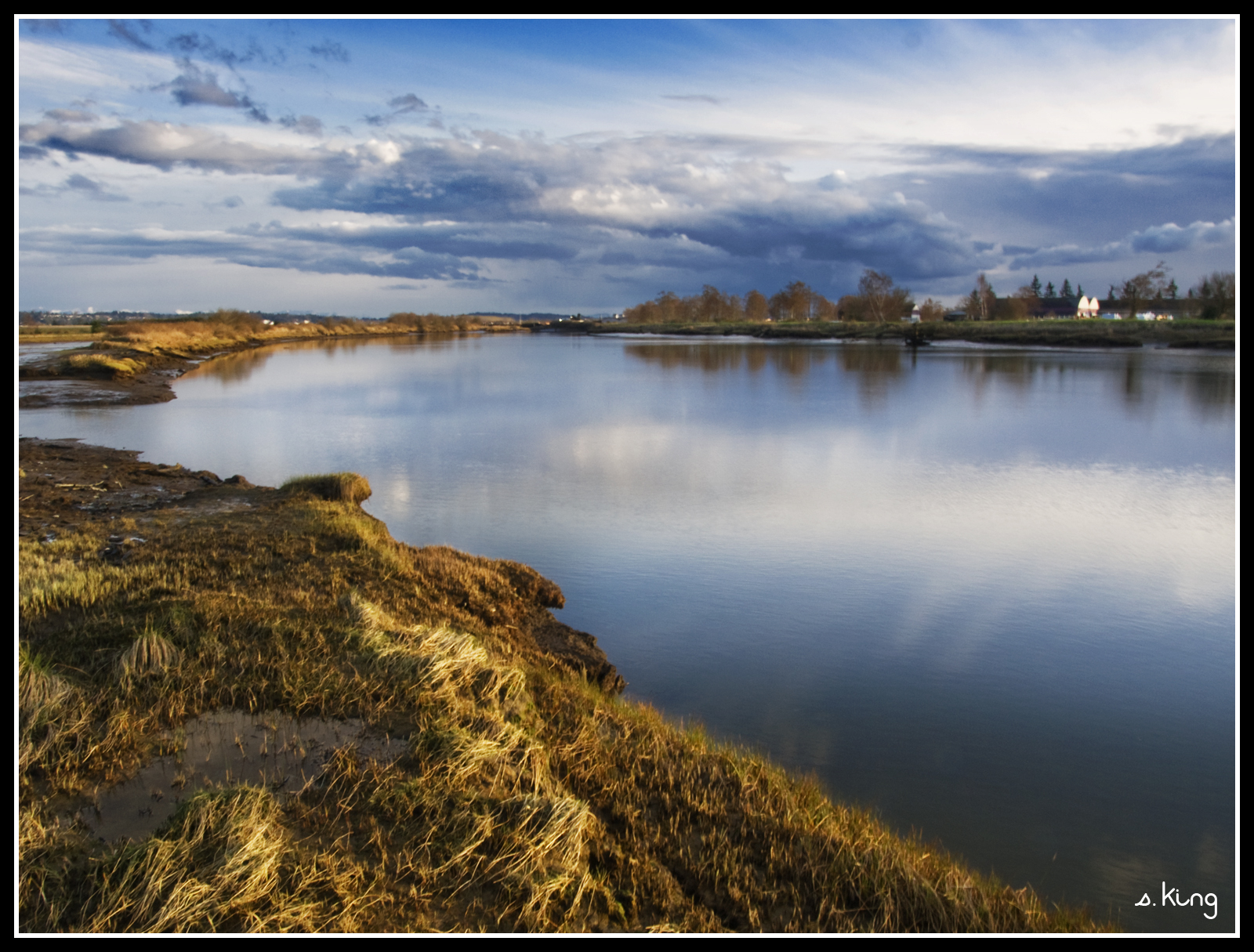
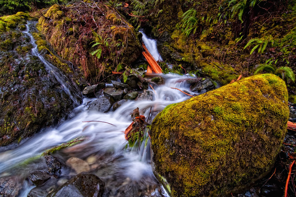
The river wild
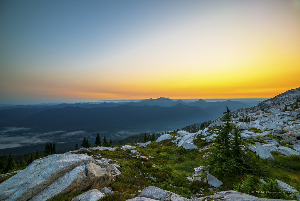
Three Fingers at sunrise
Lake View
Cascade View

View NE. Mt. Baker on the left.
Granite in Gray

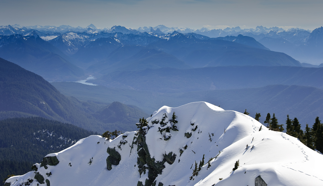
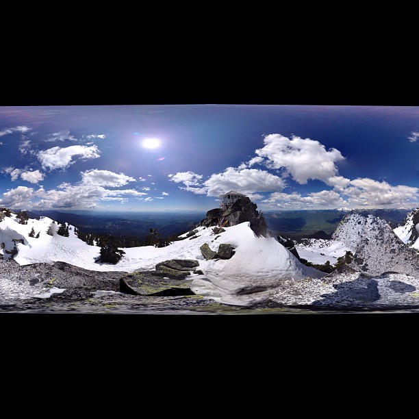
Summit panorama

The view north looking down towards the S Fork Stillaguamish River

Fuchsia Stars.
LV1293DSC00676.JPG

Roesinger awakens

First snow at sunrise
Quilceda Creek at high tide
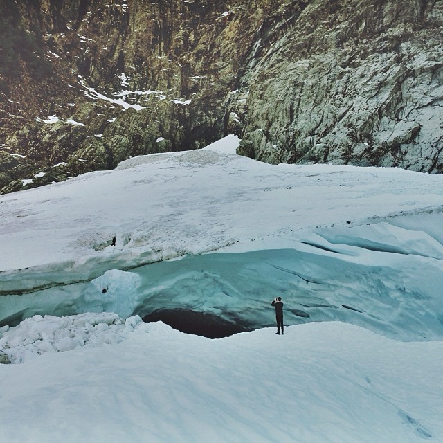
Big ol caves.

Granite Sword

A new day
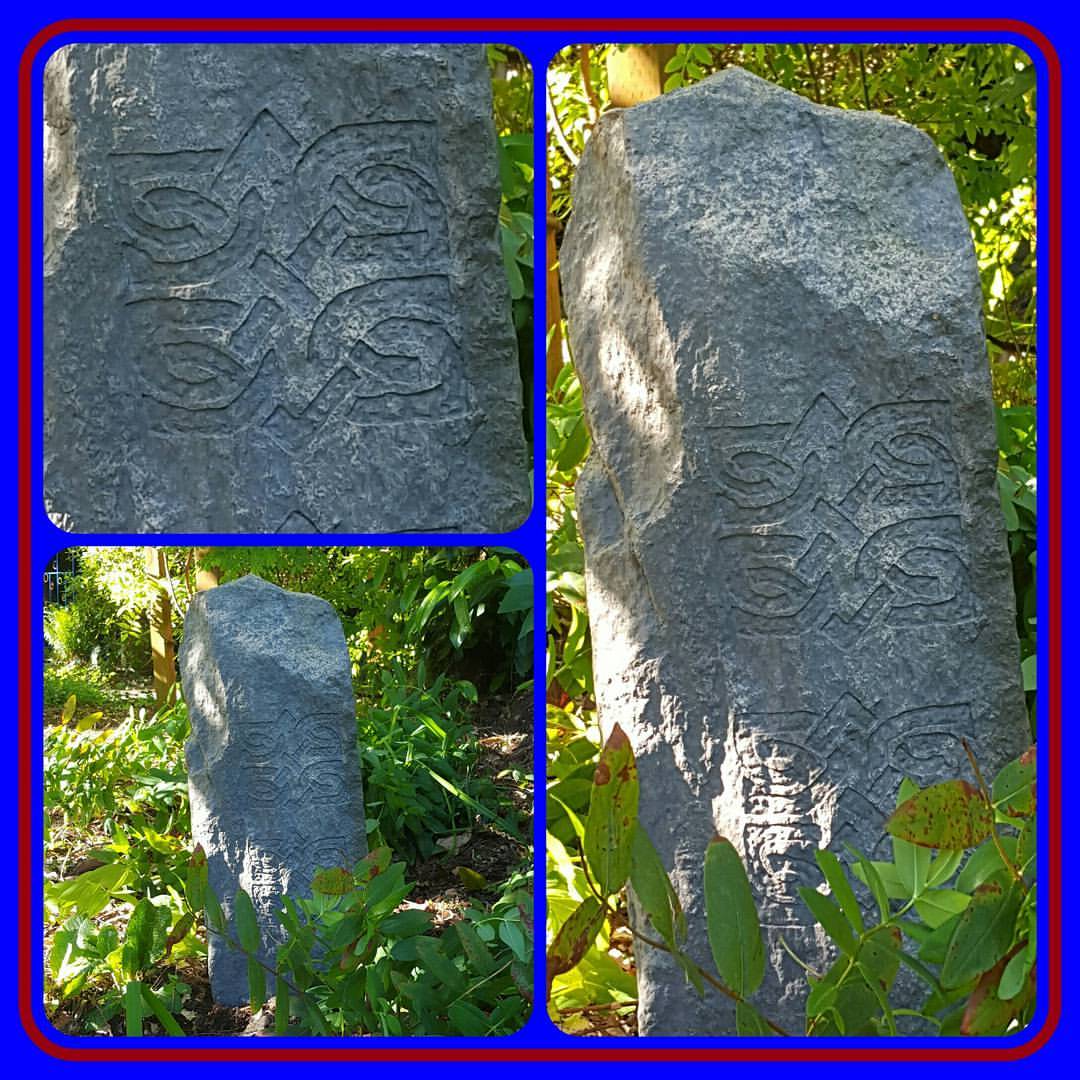
#infusionstudiollc #dylan #saintd #masterpiercer #rock #rocks #carving #naturelovers #gardener #gardening #landscape #decor #fake #fiberglass #selfmade #plants #flowers
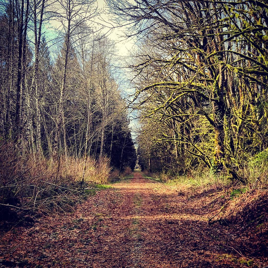
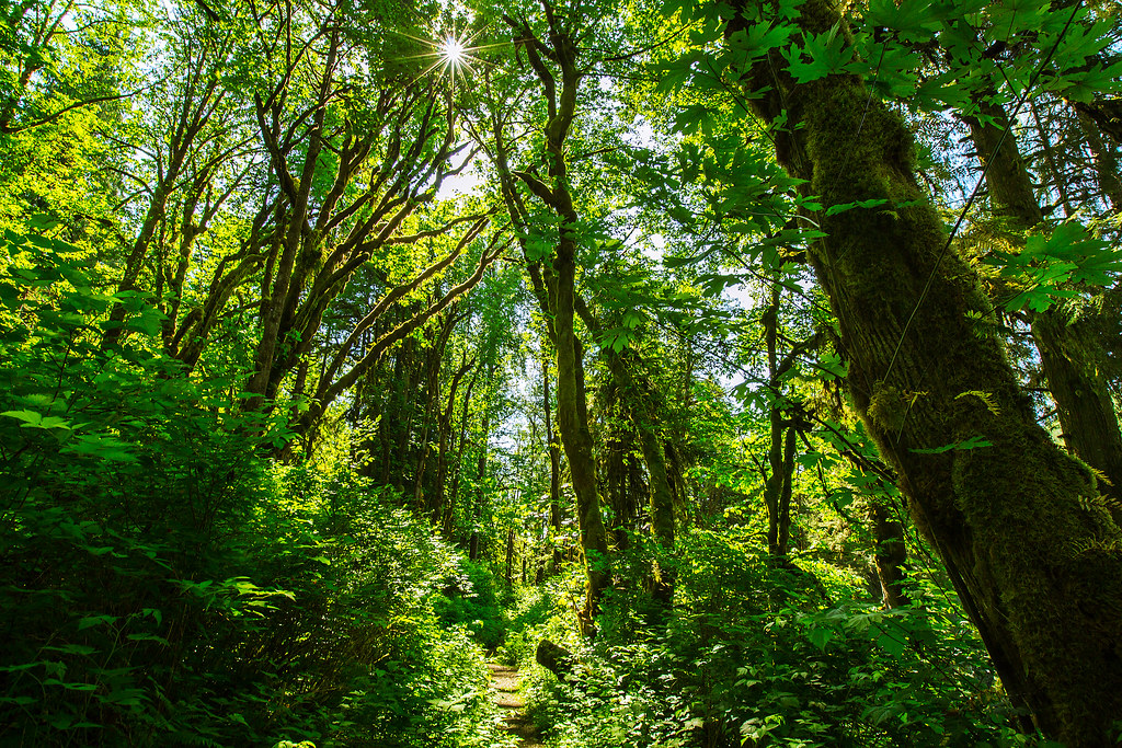
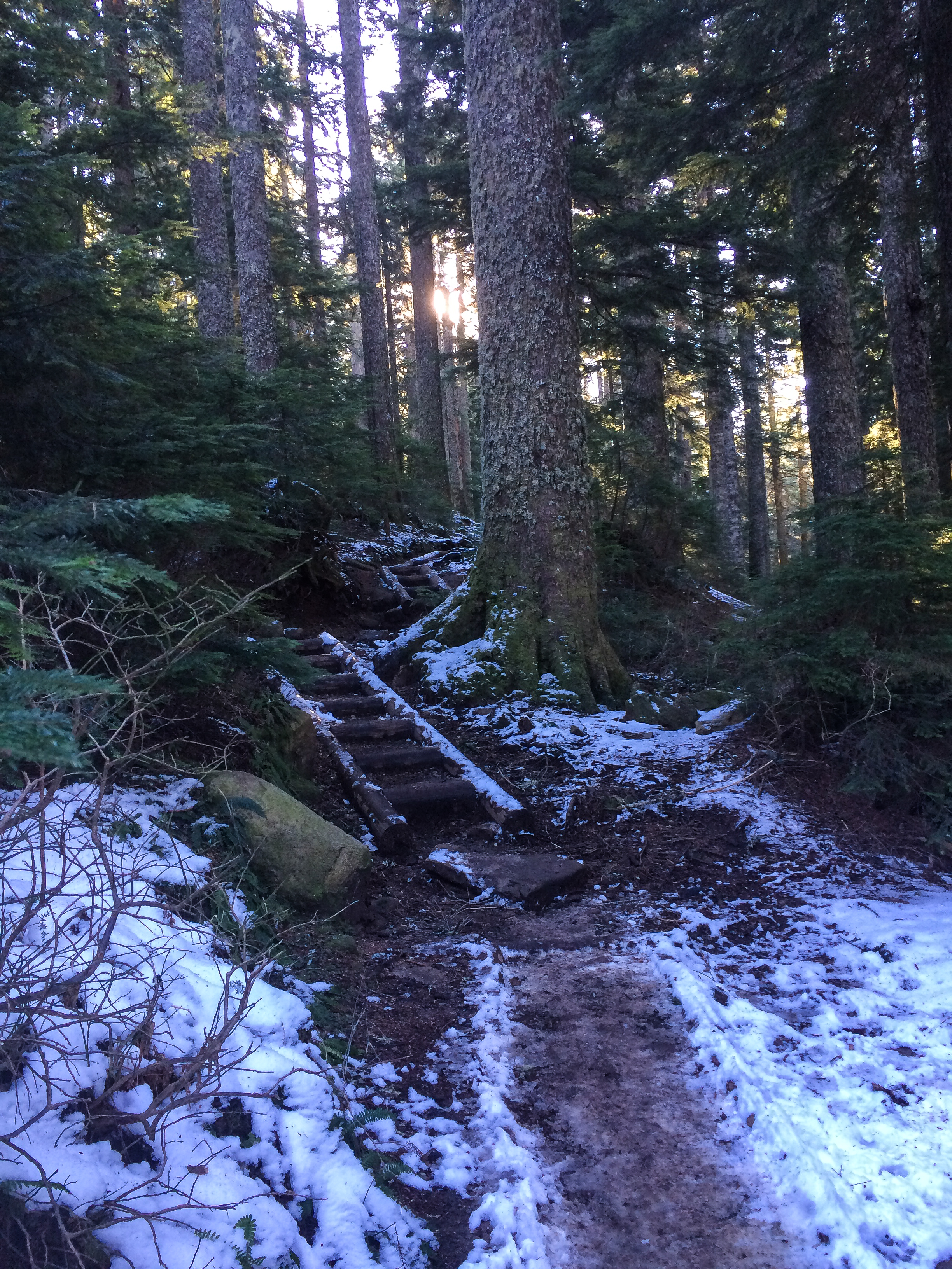
Out for a walk... #pnw
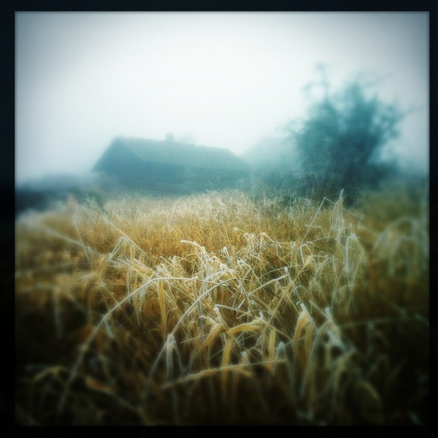
Frozen Fog
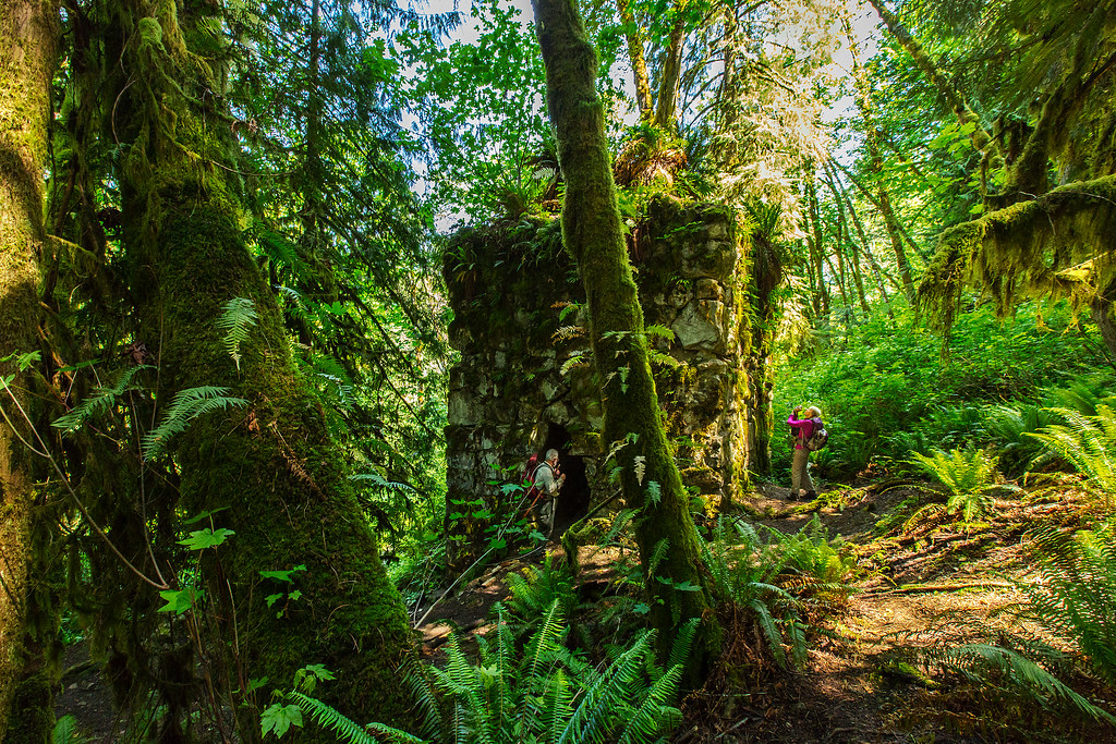
The Lime Kiln
Panoramic...damn square format

Granite Falls

Angry cloud
Union Sough, Everett
Traveling Toward the Sun
Standing in streams
And the snow begins!
Topographic Map of th Ave NE, Arlington, WA, USA
Find elevation by address:

Places near th Ave NE, Arlington, WA, USA:
11904 Chappel Rd
17212 116th Pl Ne
11302 172nd Dr Ne
17024 126th St Ne
12120 167th Dr Ne
16303 148th St Ne
15521 Jordan Rd
14204 110th Street Ne
14311 Burn Rd
16127 Jordan Way
13905 Jordan Trails Rd
14116 Club Way
Spruce Lane
13805 Jordan Trails Rd
13805 Jordan Trails Rd
13805 Jordan Trails Rd
13805 Jordan Trails Rd
13805 Jordan Trails Rd
Lochsloy
13735 Jordan Trails Rd
Recent Searches:
- Elevation of Erika Dr, Windsor, CA, USA
- Elevation of Village Ln, Finleyville, PA, USA
- Elevation of 24 Oakland Rd #, Scotland, ON N0E 1R0, Canada
- Elevation of Deep Gap Farm Rd E, Mill Spring, NC, USA
- Elevation of Dog Leg Dr, Minden, NV, USA
- Elevation of Dog Leg Dr, Minden, NV, USA
- Elevation of Kambingan Sa Pansol Atbp., Purok 7 Pansol, Candaba, Pampanga, Philippines
- Elevation of Pinewood Dr, New Bern, NC, USA
- Elevation of Mountain View, CA, USA
- Elevation of Foligno, Province of Perugia, Italy