Elevation of Teshio, Teshio District, Hokkaido Prefecture, Japan
Location: Japan > Hokkaido Prefecture > Teshio District >
Longitude: 141.745396
Latitude: 44.8883411
Elevation: 5m / 16feet
Barometric Pressure: 101KPa
Elevation Map:
Satellite Map:
Related Photos:
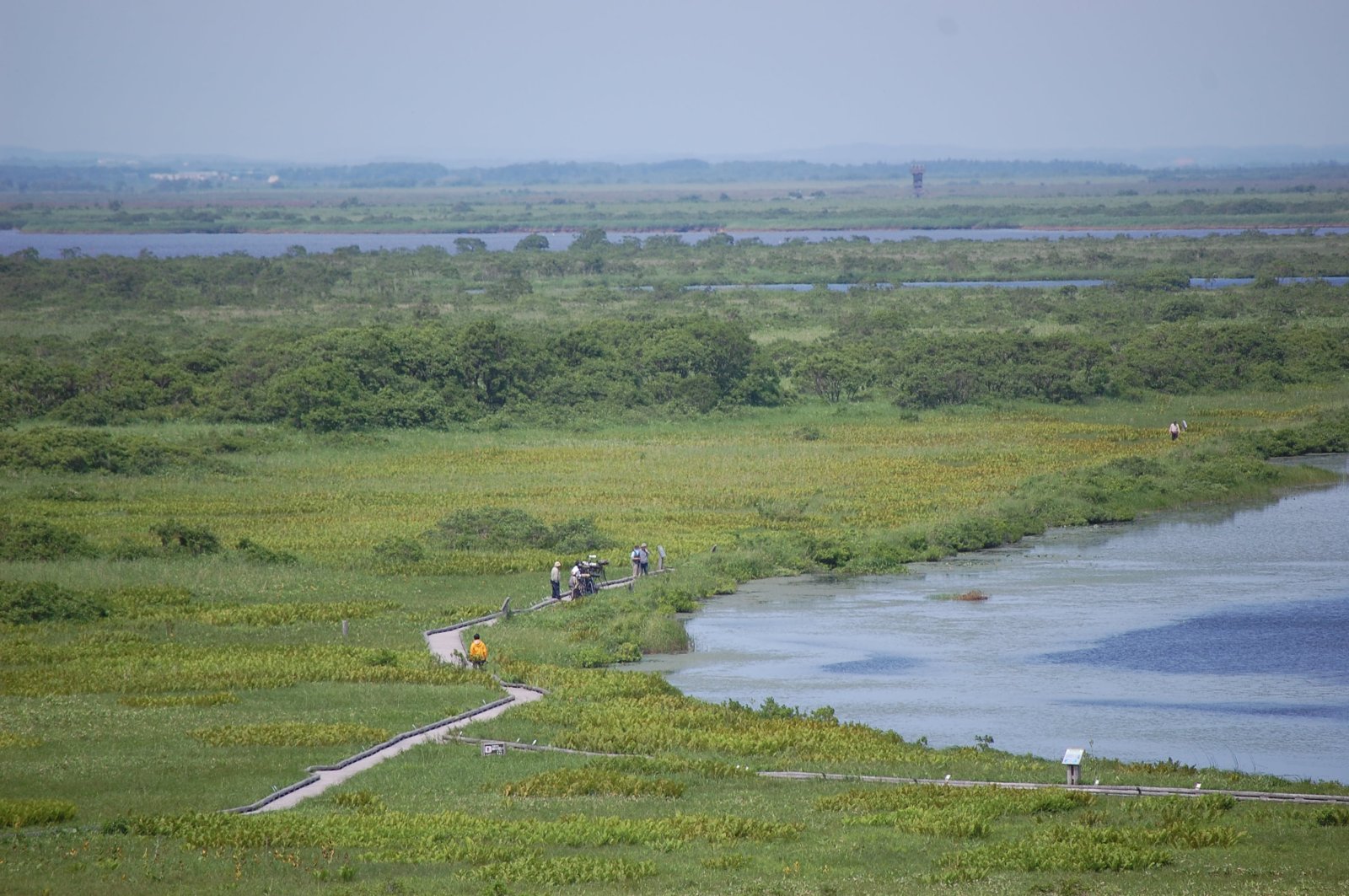
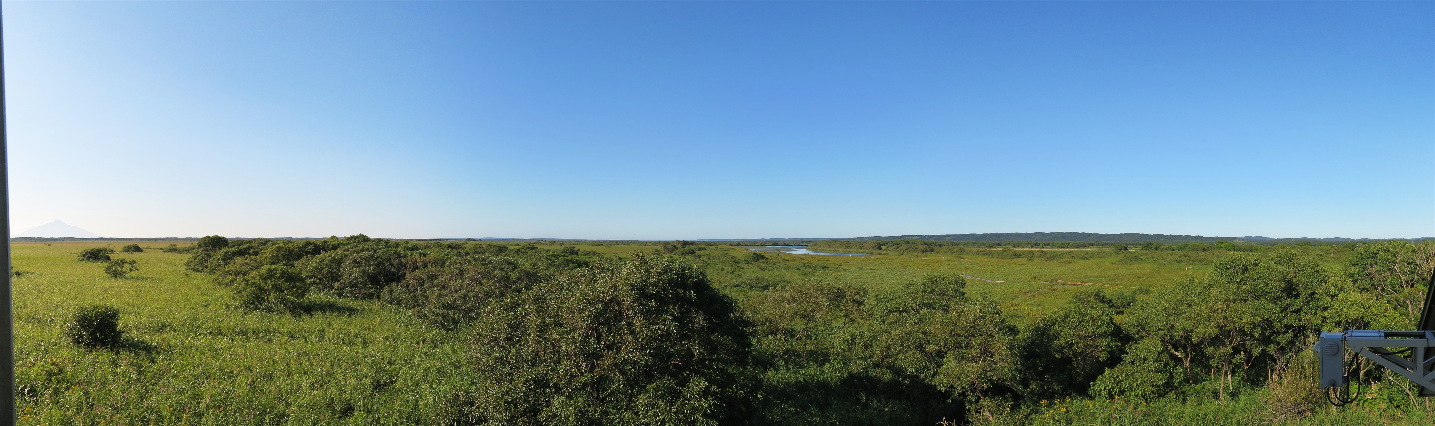
View over Sarobetsu Marshes
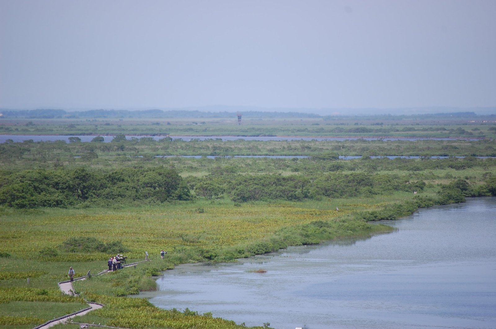
View over Sarobetsu Marshes
オトンルイ・Rishiri Island viewed from Otonrui
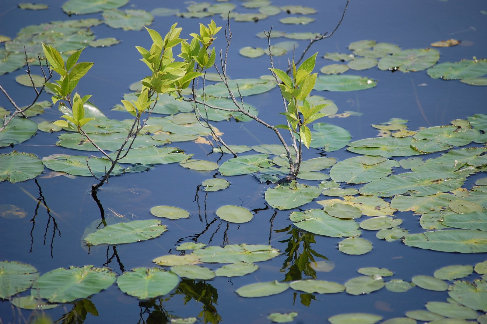
Water Plants

GRIII-0010453
IMG_0914 - IMG_0918_R
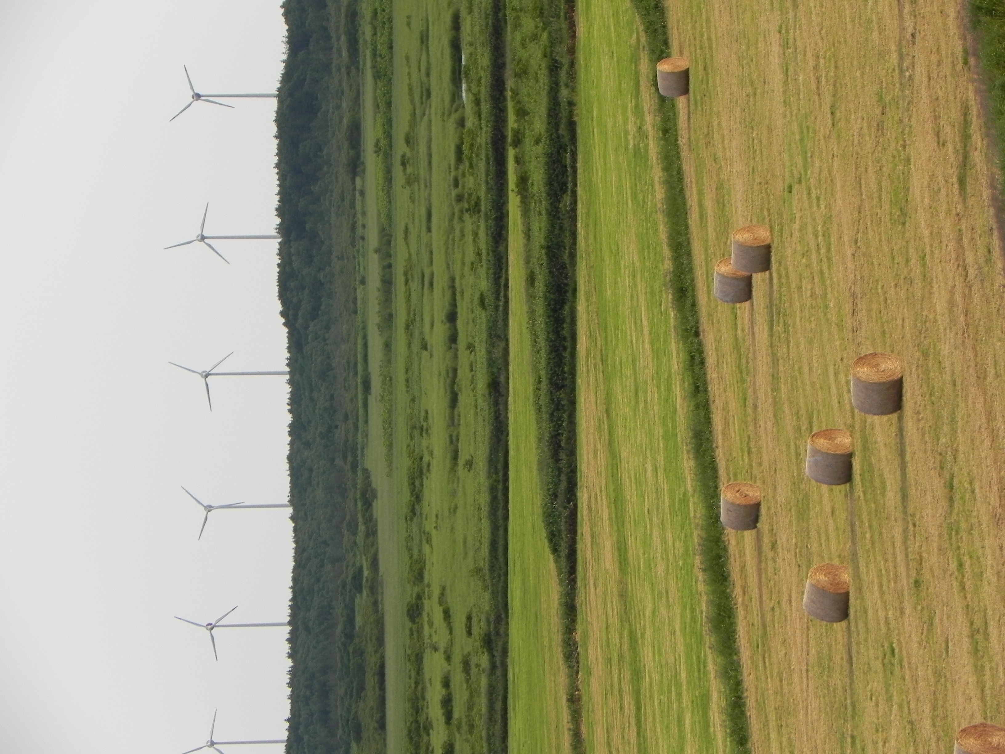
Windy hay
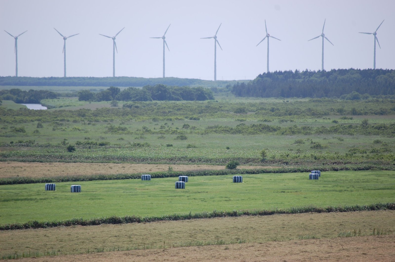
Windmill Skyline
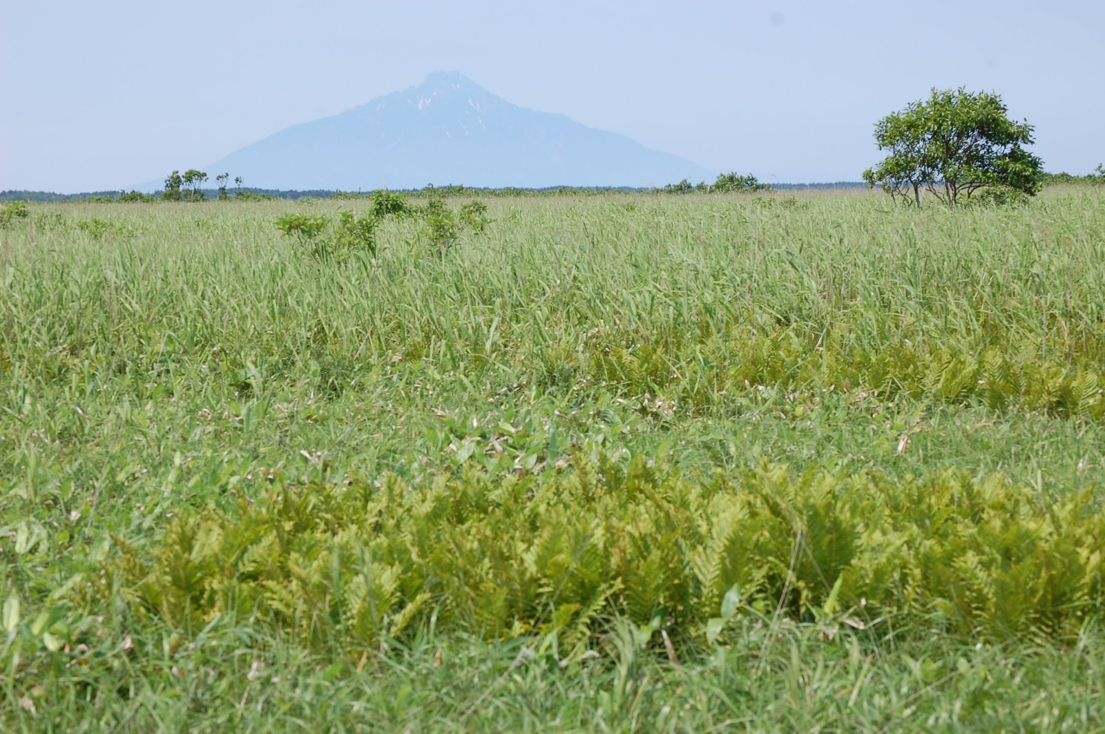
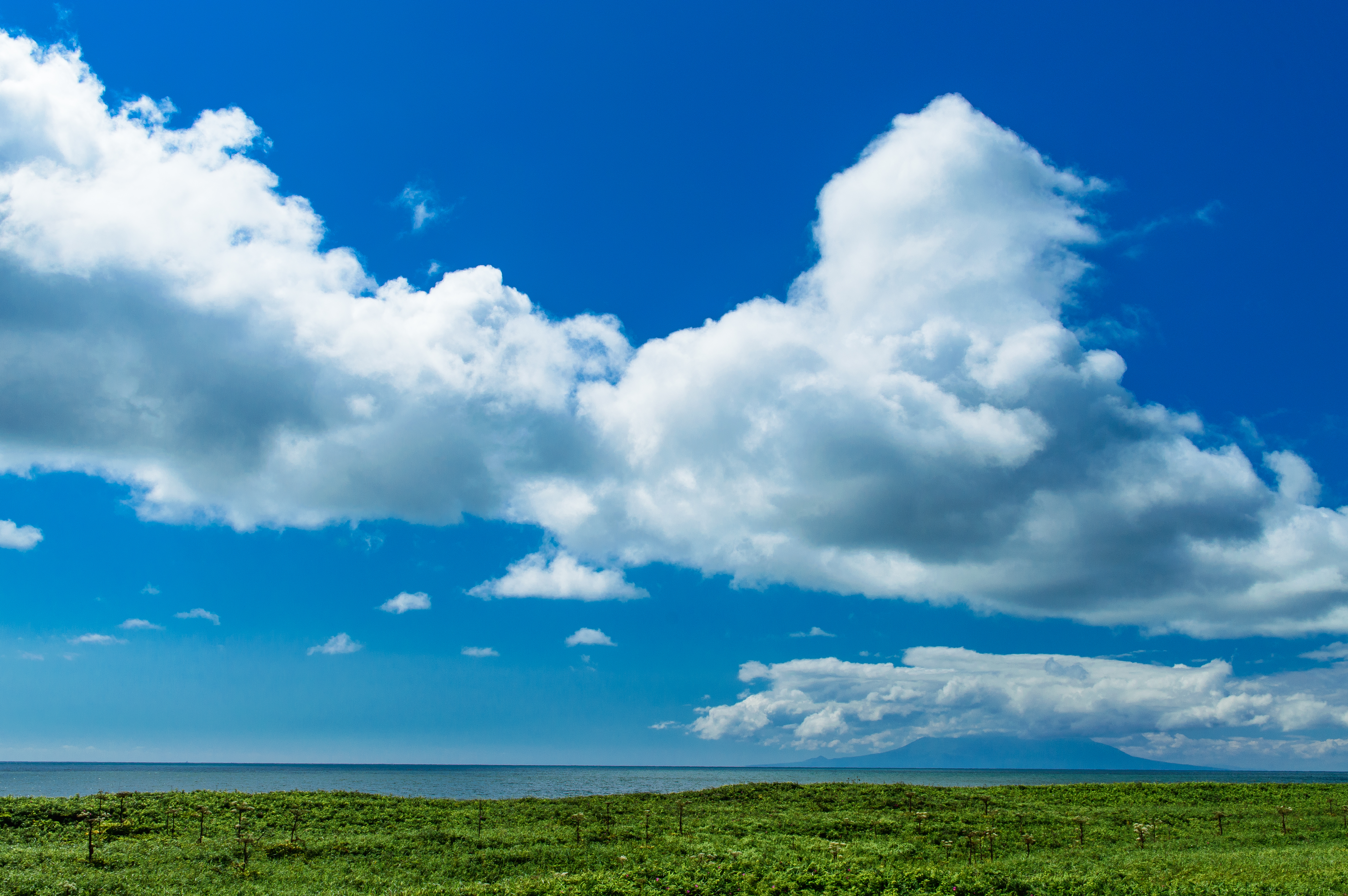
Mount Rishiri over the Marshes
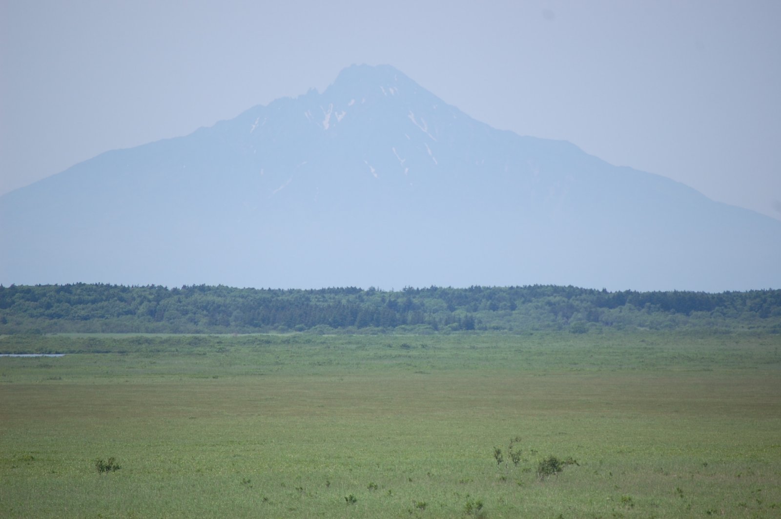
Mount Rishiri over Sarobetsu Marshes
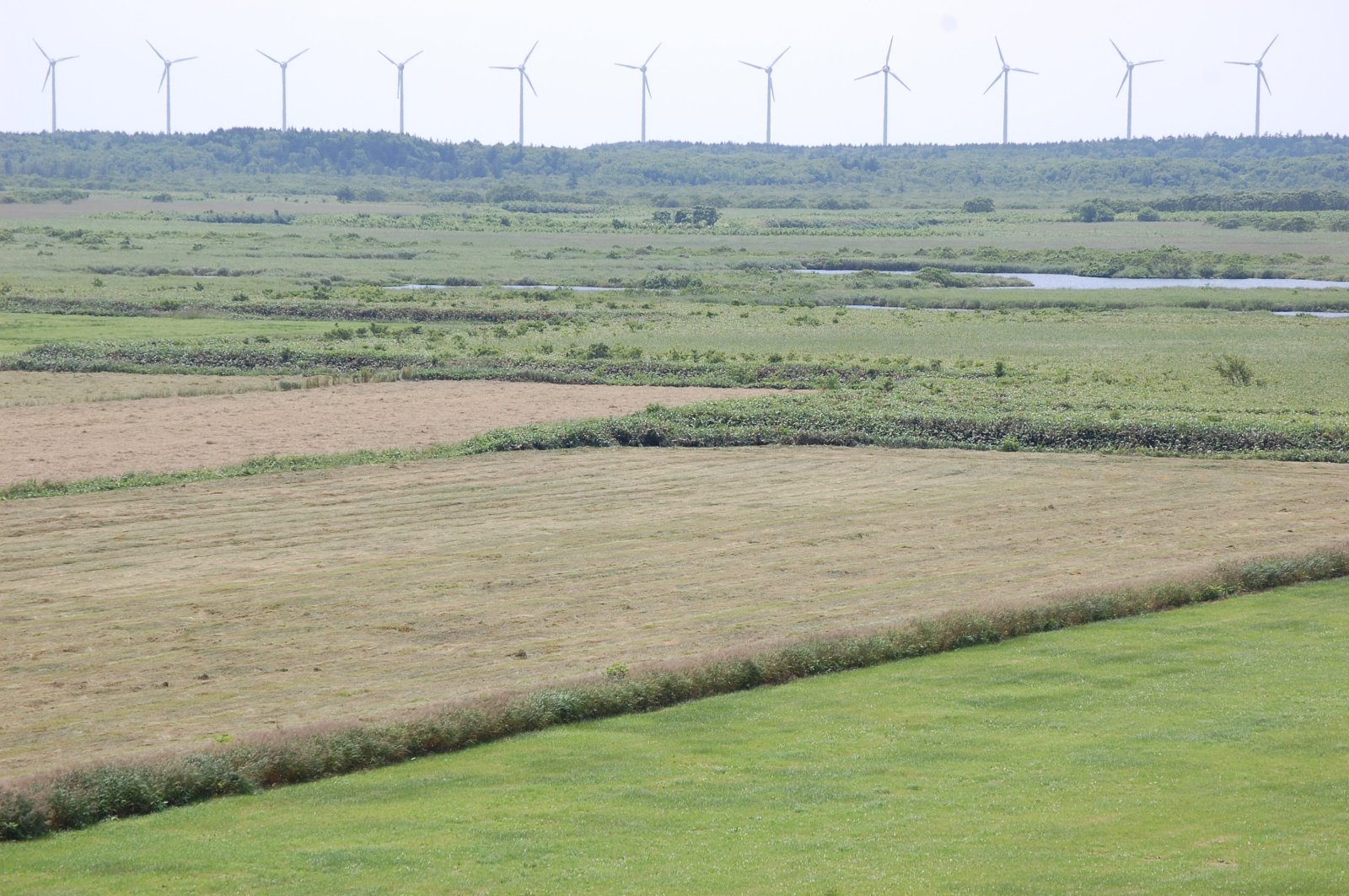
Windmill Skyline
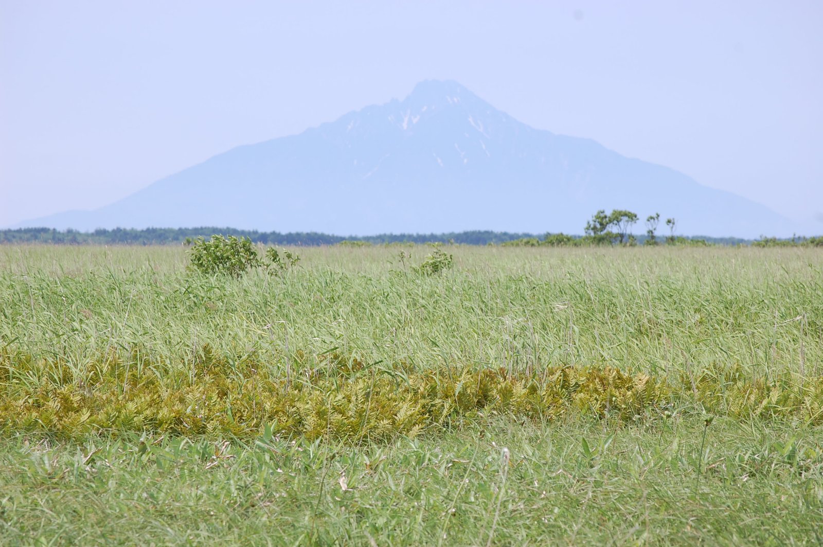
Mount Rishiri over the Marshes
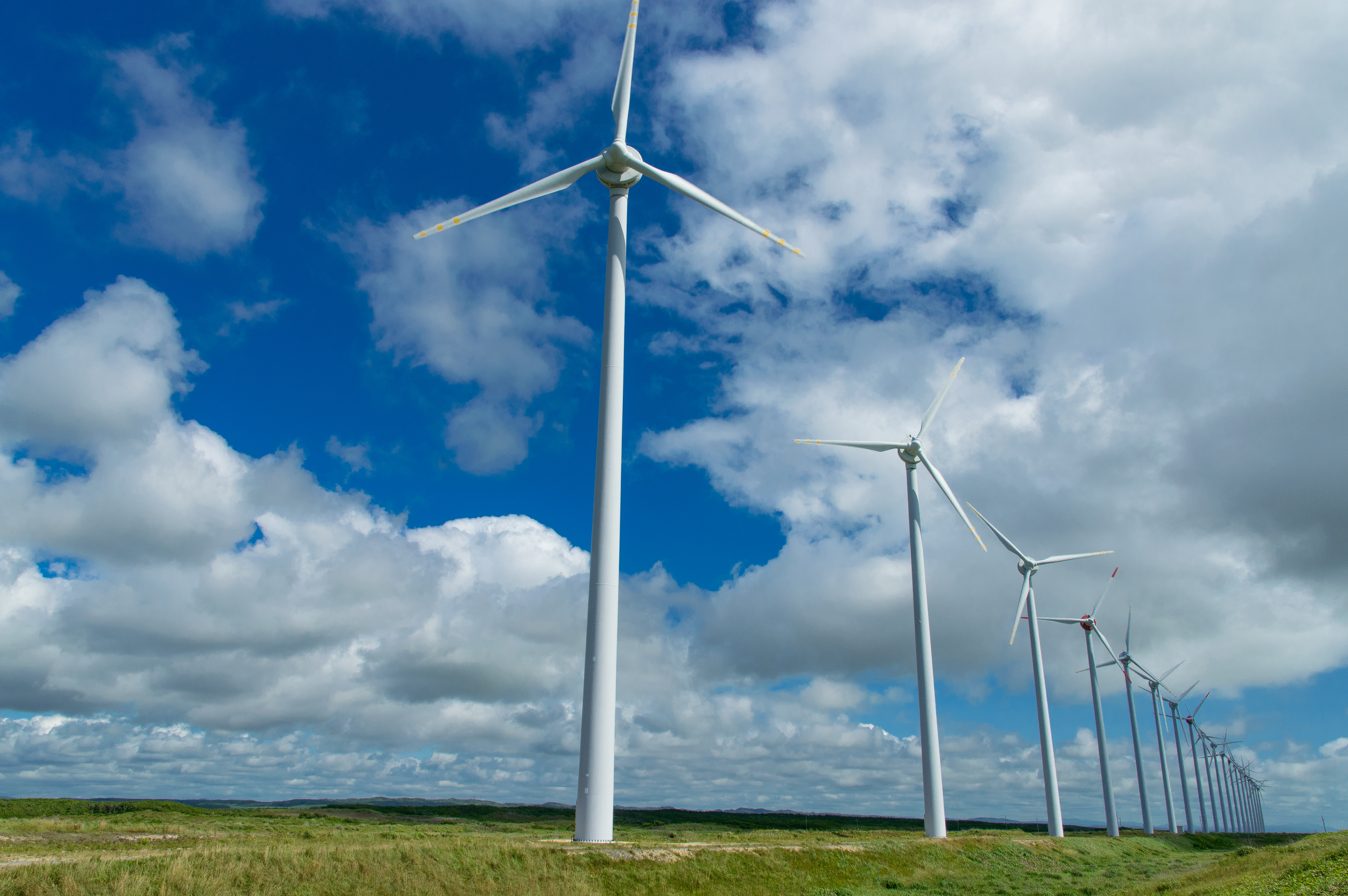
オトンルイ風力発電2・Otonrui Wind Power Factory
Topographic Map of Teshio, Teshio District, Hokkaido Prefecture, Japan
Find elevation by address:

Places in Teshio, Teshio District, Hokkaido Prefecture, Japan:
Places near Teshio, Teshio District, Hokkaido Prefecture, Japan:
Kawaguchi, Teshio-chō, Teshio-gun, Hokkaidō -, Japan
Teshio District
Enbetsu
Utakoshi, Enbetsu-chō, Teshio-gun, Hokkaidō -, Japan
Shosanbetsu
Chiyoda, Shosanbetsu-mura, Tomamae-gun, Hokkaidō -, Japan
Haboro
Sakaemachi, Haboro-chō, Tomamae-gun, Hokkaidō -, Japan
Tomamae
Tomamae District
Kotanbetsu, Tomamae-chō, Tomamae-gun, Hokkaidō -, Japan
Rumoi
1 Chome- Midorigaokachō, Rumoi-shi, Hokkaidō -, Japan
Mashike
Shokansawa
Shokansawa, Mashike-chō, Mashike-gun, Hokkaidō -, Japan
Mashike District
Chippubetsu, Chippubetsu-chō, Uryū-gun, Hokkaidō -, Japan
70 Hekisui, Hokuryū-chō, Uryū-gun, Hokkaidō -, Japan
830 Shokansawa
Recent Searches:
- Elevation of Leguwa, Nepal
- Elevation of County Rd, Enterprise, AL, USA
- Elevation of Kolchuginsky District, Vladimir Oblast, Russia
- Elevation of Shustino, Vladimir Oblast, Russia
- Elevation of Lampiasi St, Sarasota, FL, USA
- Elevation of Elwyn Dr, Roanoke Rapids, NC, USA
- Elevation of Congressional Dr, Stevensville, MD, USA
- Elevation of Bellview Rd, McLean, VA, USA
- Elevation of Stage Island Rd, Chatham, MA, USA
- Elevation of Shibuya Scramble Crossing, 21 Udagawacho, Shibuya City, Tokyo -, Japan