Elevation map of Teshio District, Hokkaido Prefecture, Japan
Location: Japan > Hokkaido Prefecture >
Longitude: 141.86
Latitude: 44.986
Elevation: 9m / 30feet
Barometric Pressure: 101KPa
Elevation Map:
Satellite Map:
Related Photos:
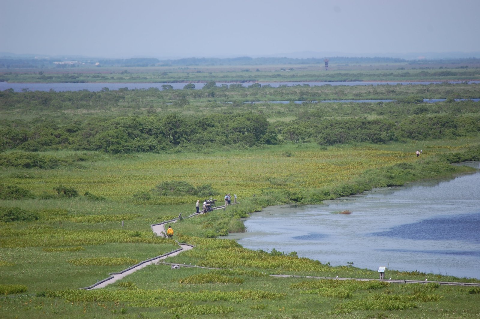
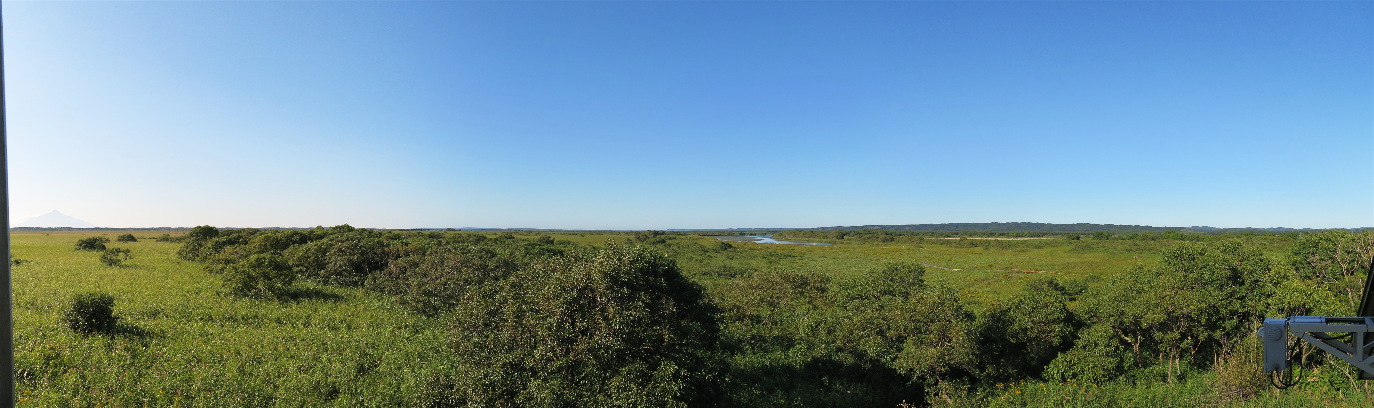
View over Sarobetsu Marshes
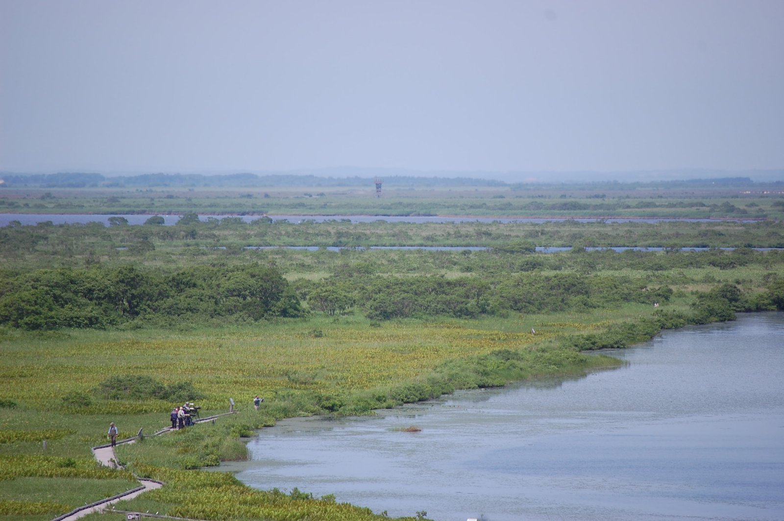
View over Sarobetsu Marshes
オトンルイ・Rishiri Island viewed from Otonrui
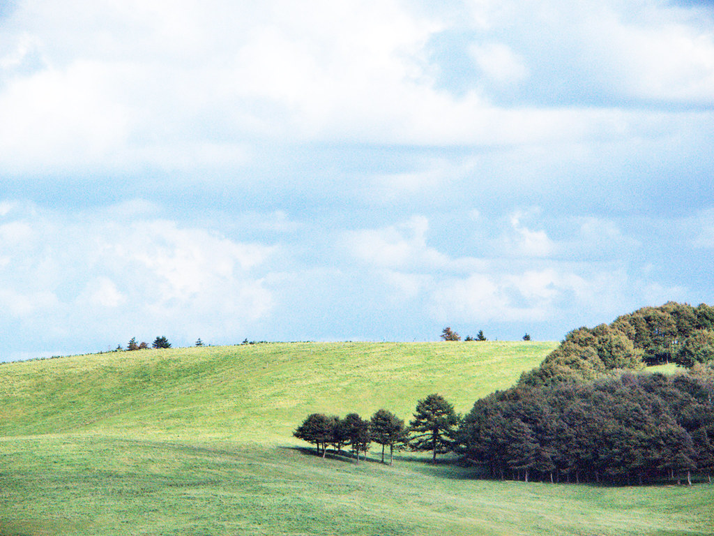
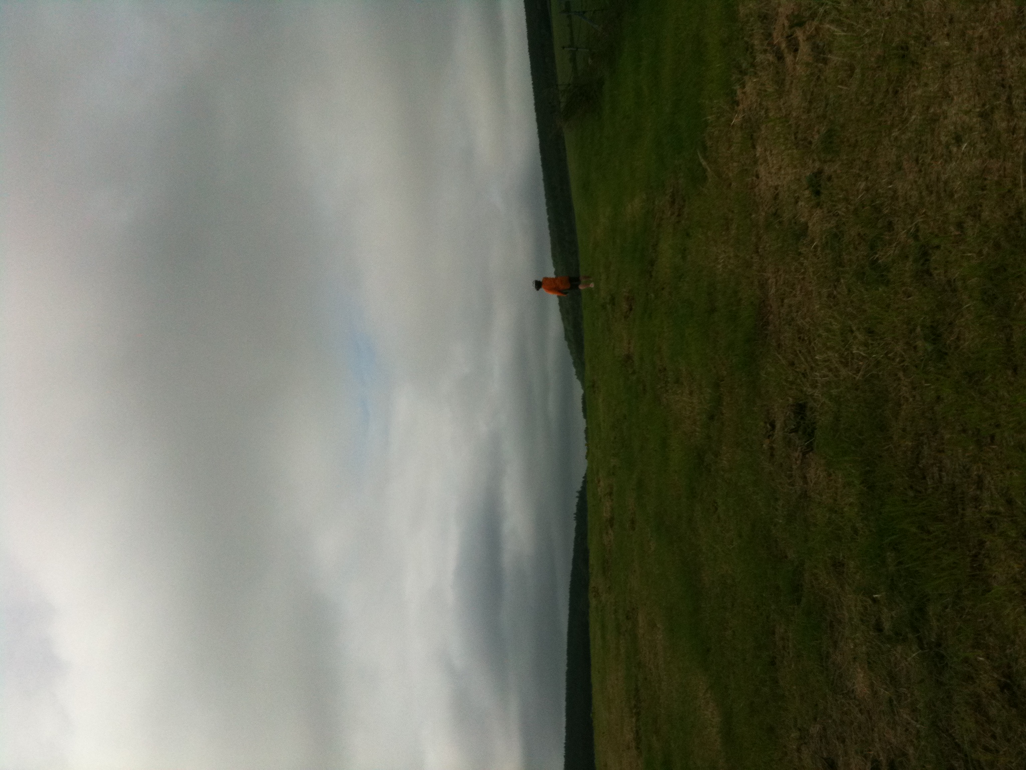
豊富町 / 大規模草地牧場の丘陵

豊富町 / 大規模草地牧場の丘陵
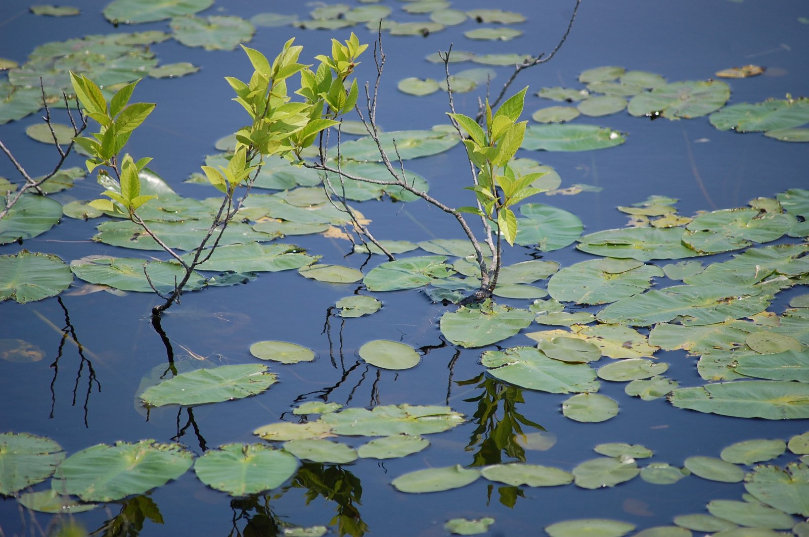
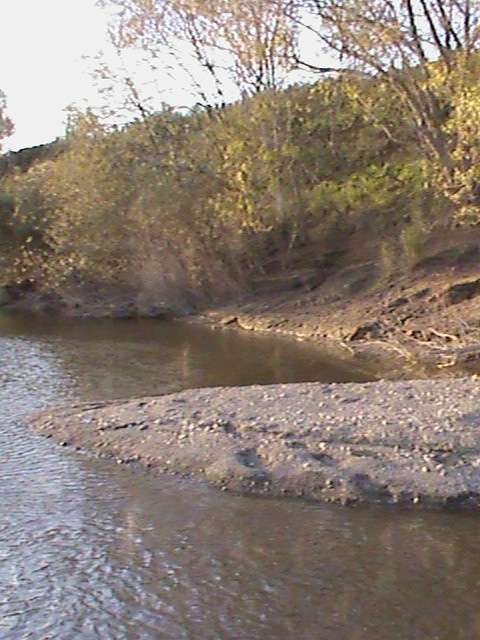
Water Plants

GRIII-0010453
IMG_0914 - IMG_0918_R
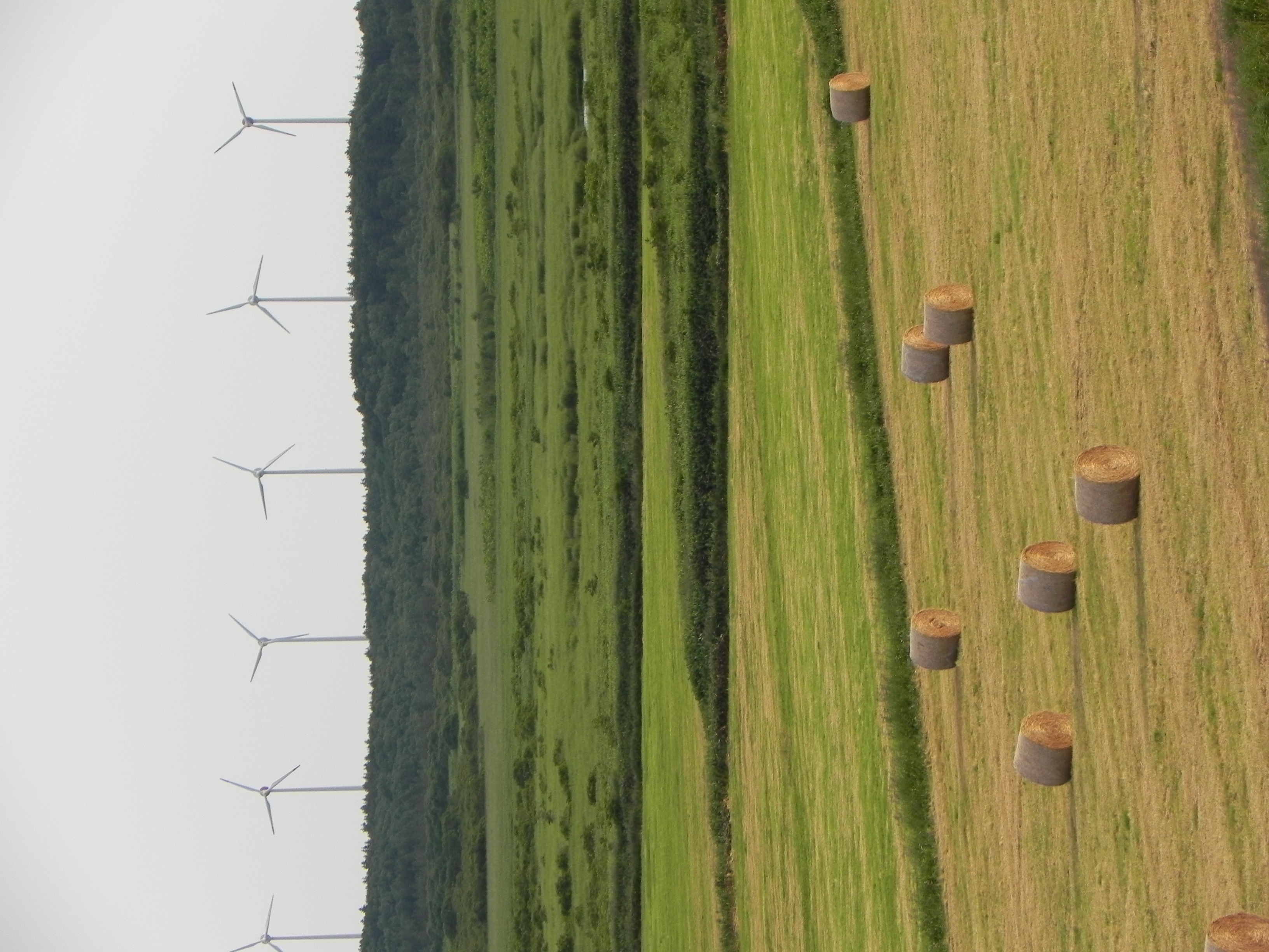
Windy hay
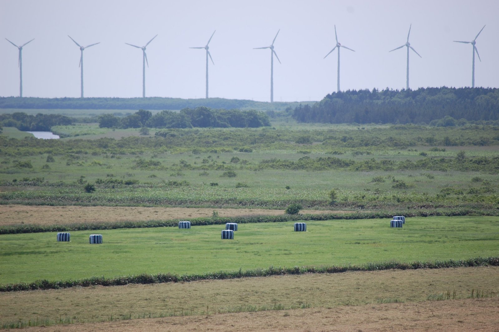
Windmill Skyline
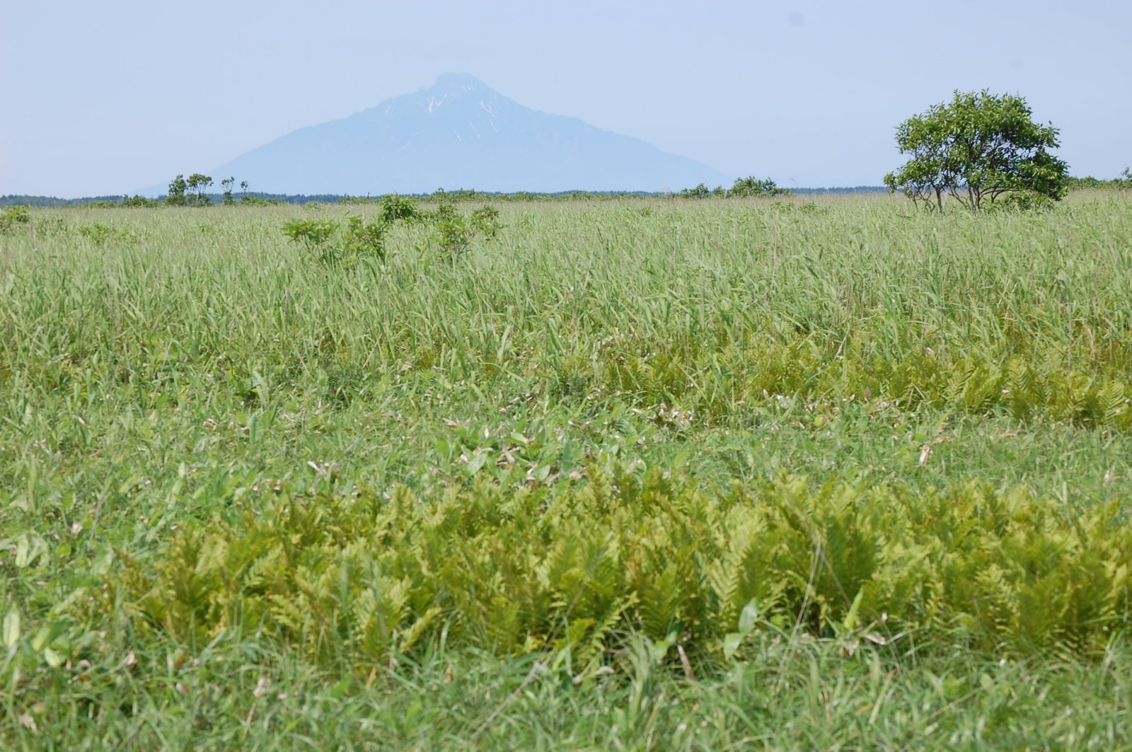
Mount Rishiri over the Marshes
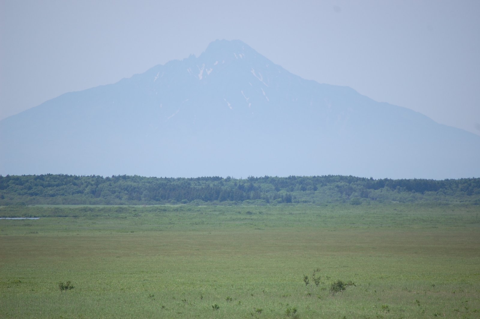
Mount Rishiri over Sarobetsu Marshes
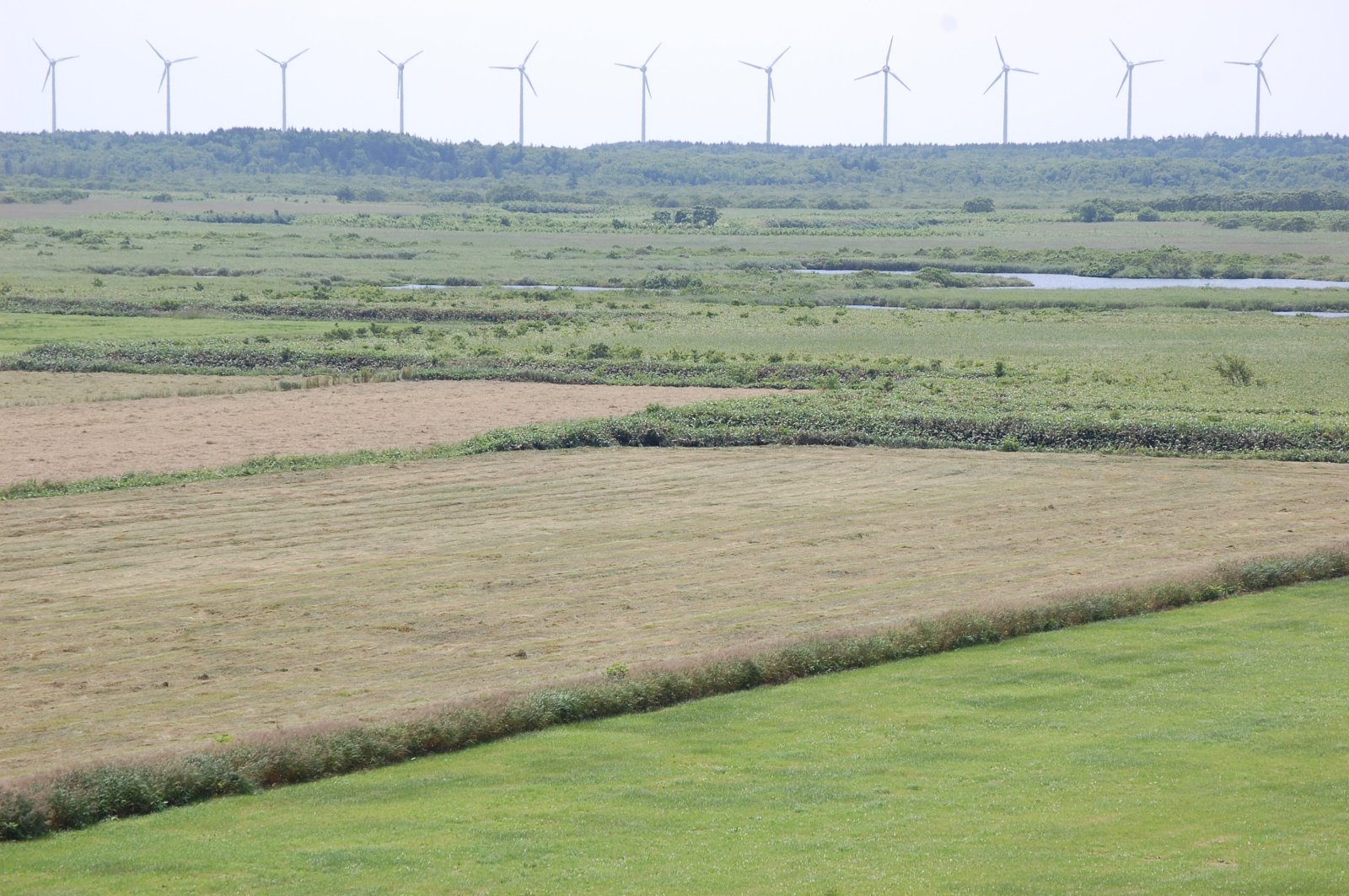
Windmill Skyline
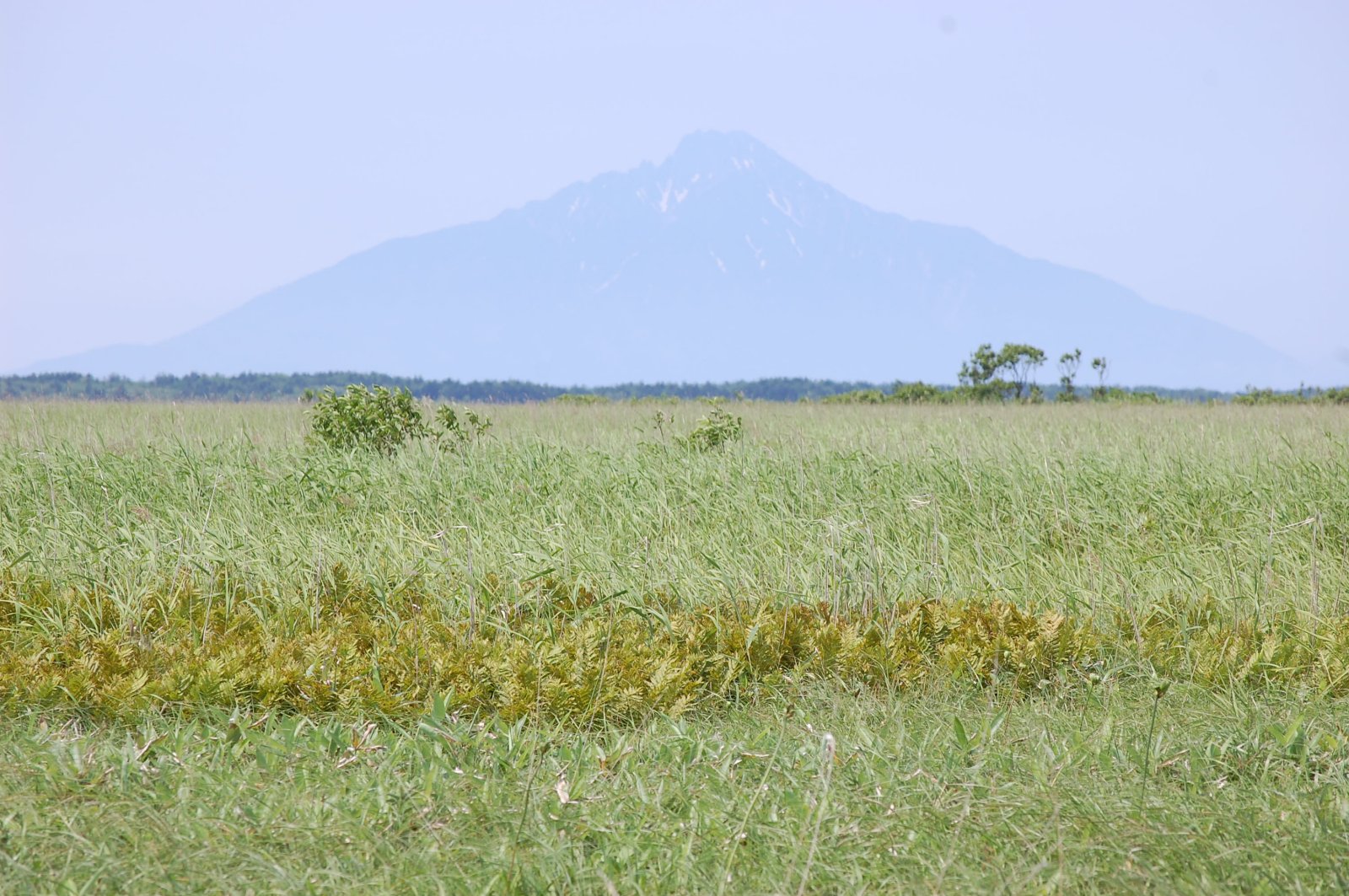
Mount Rishiri over the Marshes

オトンルイ風力発電2・Otonrui Wind Power Factory
広々だね~
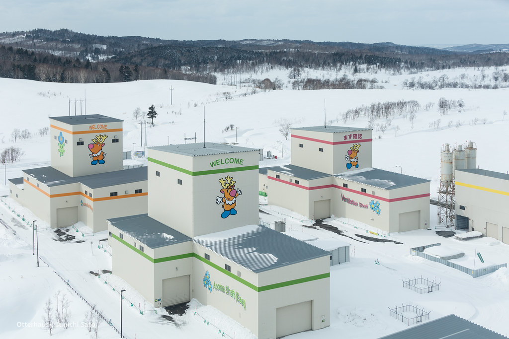
Horonobe underground research center
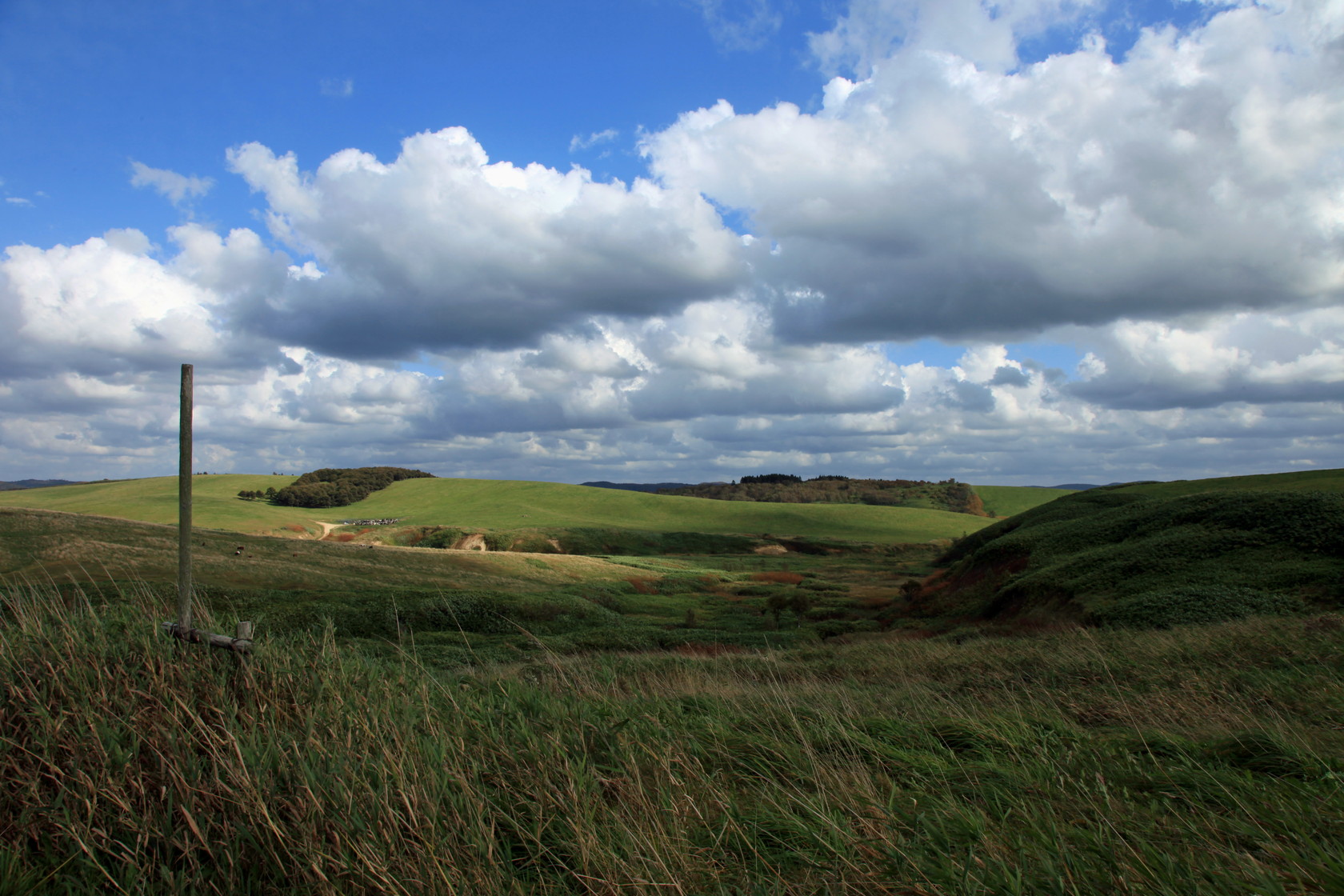
大規模草地牧場 [天塩郡/豊富町]

牛

食事中のトナカイ
DSC00368.jpg

高さ50メートルの展望室からの眺め1
Topographic Map of Teshio District, Hokkaido Prefecture, Japan
Find elevation by address:

Places in Teshio District, Hokkaido Prefecture, Japan:
Places near Teshio District, Hokkaido Prefecture, Japan:
Kawaguchi, Teshio-chō, Teshio-gun, Hokkaidō -, Japan
Teshio
Enbetsu
Utakoshi, Enbetsu-chō, Teshio-gun, Hokkaidō -, Japan
Shosanbetsu
Chiyoda, Shosanbetsu-mura, Tomamae-gun, Hokkaidō -, Japan
Haboro
Sakaemachi, Haboro-chō, Tomamae-gun, Hokkaidō -, Japan
Tomamae District
Tomamae
Kotanbetsu, Tomamae-chō, Tomamae-gun, Hokkaidō -, Japan
Rumoi
1 Chome- Midorigaokachō, Rumoi-shi, Hokkaidō -, Japan
Mashike
Shokansawa
Shokansawa, Mashike-chō, Mashike-gun, Hokkaidō -, Japan
Chippubetsu, Chippubetsu-chō, Uryū-gun, Hokkaidō -, Japan
70 Hekisui, Hokuryū-chō, Uryū-gun, Hokkaidō -, Japan
Chippubetsu
Mashike District
Recent Searches:
- Elevation of Spaceport America, Co Rd A, Truth or Consequences, NM, USA
- Elevation of Warwick, RI, USA
- Elevation of Fern Rd, Whitmore, CA, USA
- Elevation of 62 Abbey St, Marshfield, MA, USA
- Elevation of Fernwood, Bradenton, FL, USA
- Elevation of Felindre, Swansea SA5 7LU, UK
- Elevation of Leyte Industrial Development Estate, Isabel, Leyte, Philippines
- Elevation of W Granada St, Tampa, FL, USA
- Elevation of Pykes Down, Ivybridge PL21 0BY, UK
- Elevation of Jalan Senandin, Lutong, Miri, Sarawak, Malaysia