Elevation of Terrell County, GA, USA
Location: United States > Georgia >
Longitude: -84.480260
Latitude: 31.7370079
Elevation: 104m / 341feet
Barometric Pressure: 100KPa
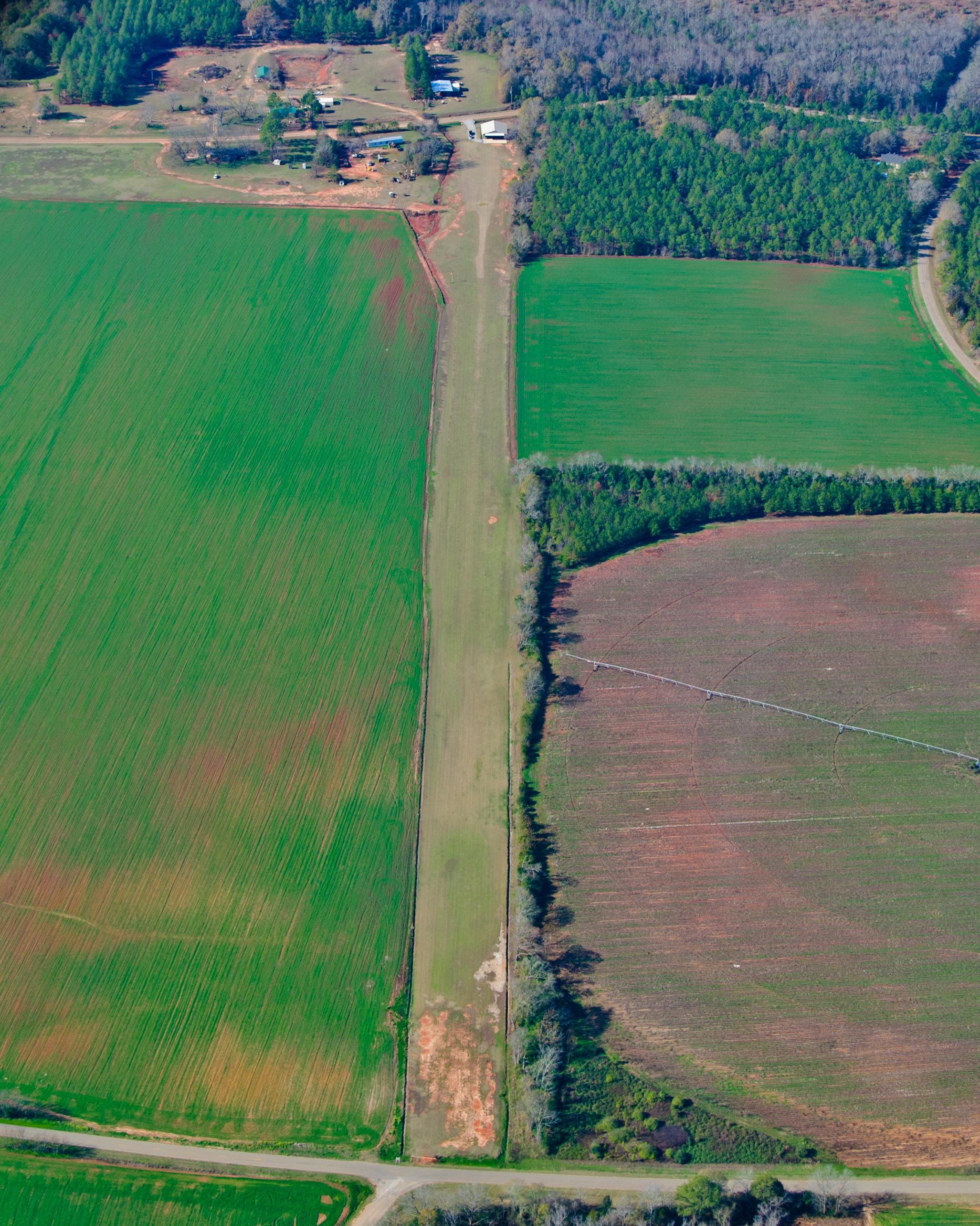
Elevation Map:
Satellite Map:
Related Photos:
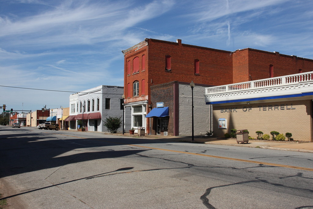
East Lee Street, Dawson, Georgia / P2013-1013D175

20090126-_DSC6574

20090126-_DSC6570
20090126-_DSC6571
20090126-_DSC6573
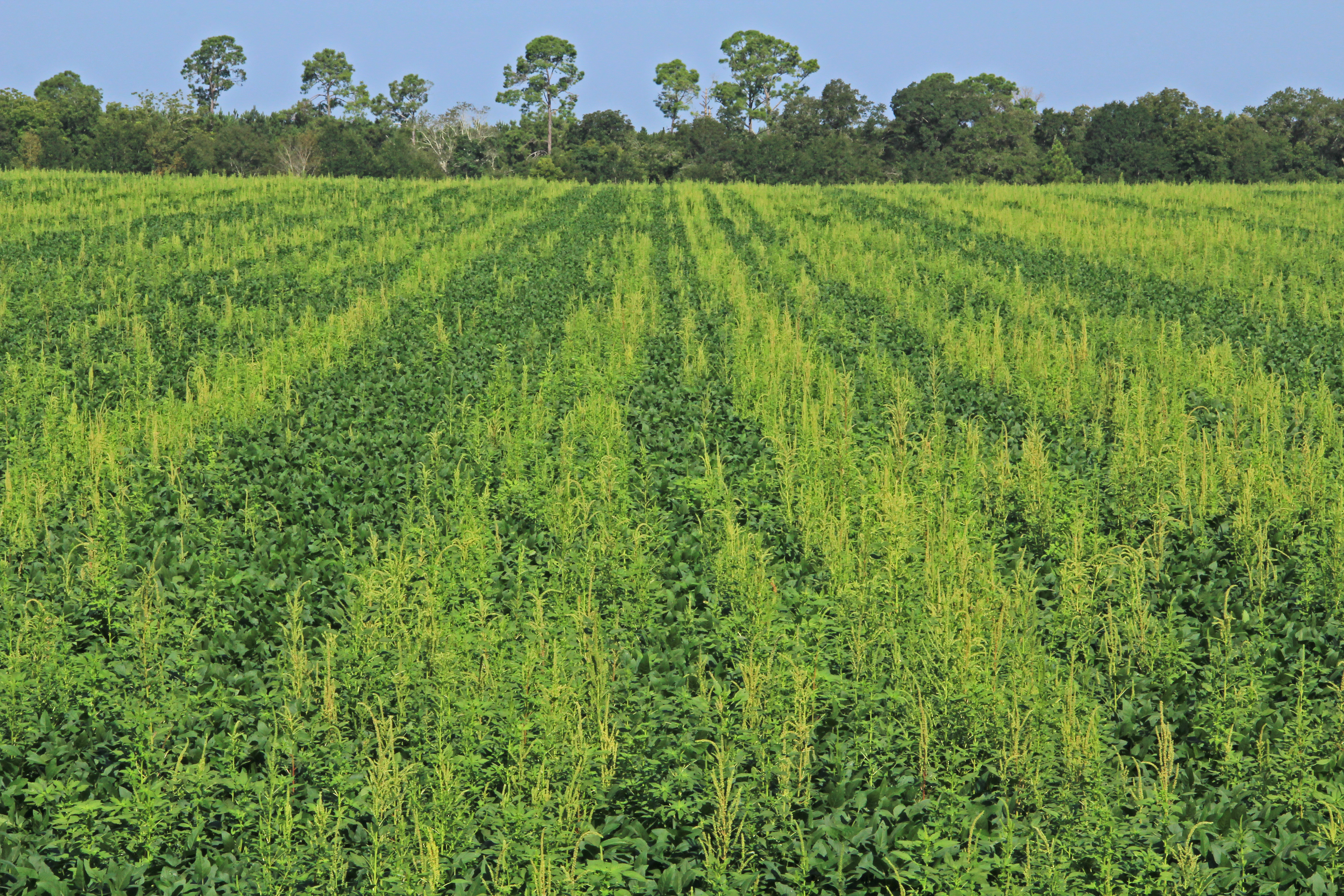
Amaranthus palmeri, infested soybean (Glycine max) field, near Shellman, Randolph County, Georgia 2

20090126-_DSC6539
20111224-163
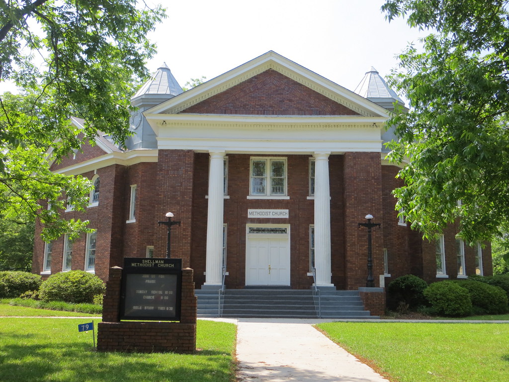
Shellman Methodist Shellman GA
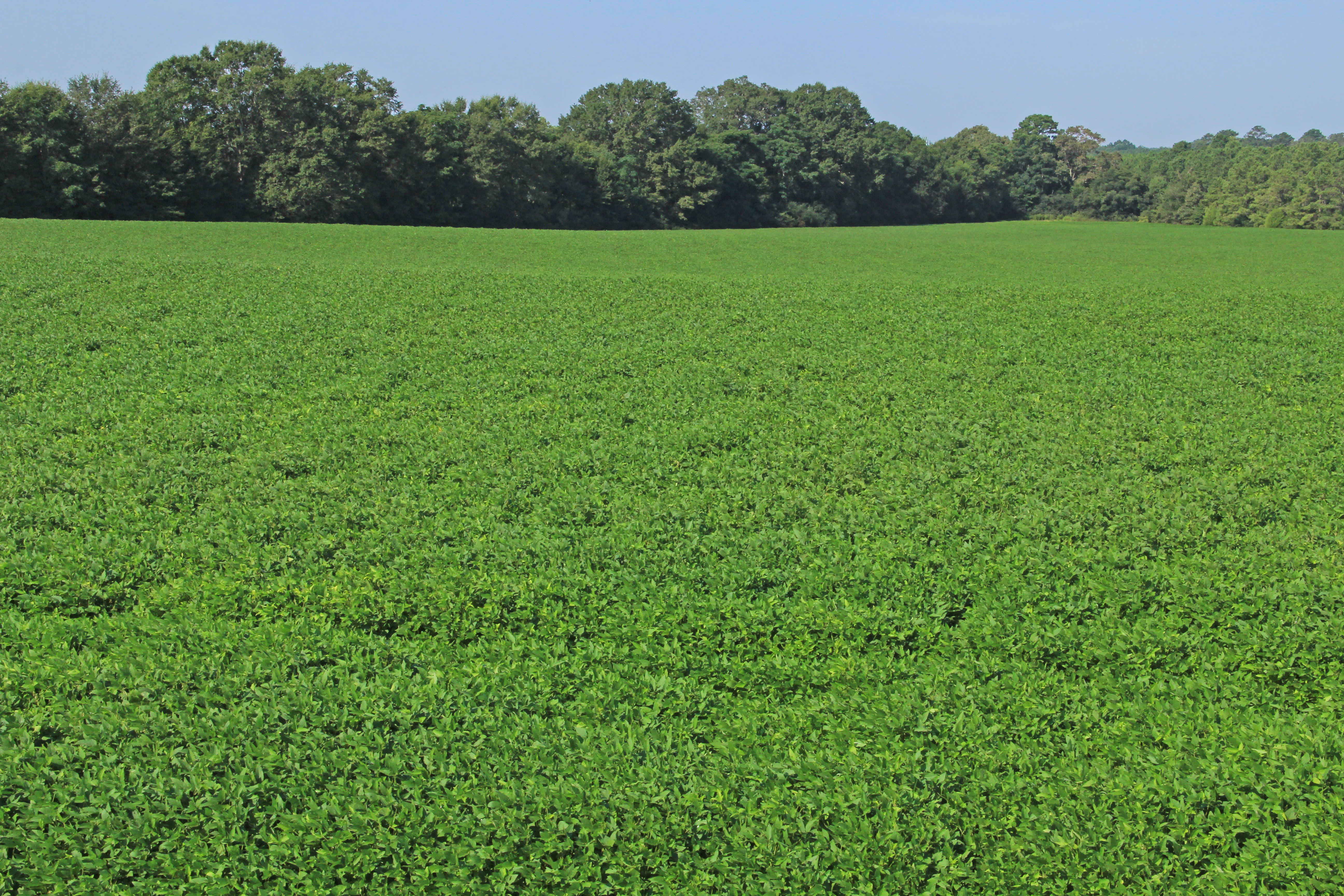
Glycine max (soybean), cultivated field, near Martins Crossroads, Randolph County, Georgia 1

Old House
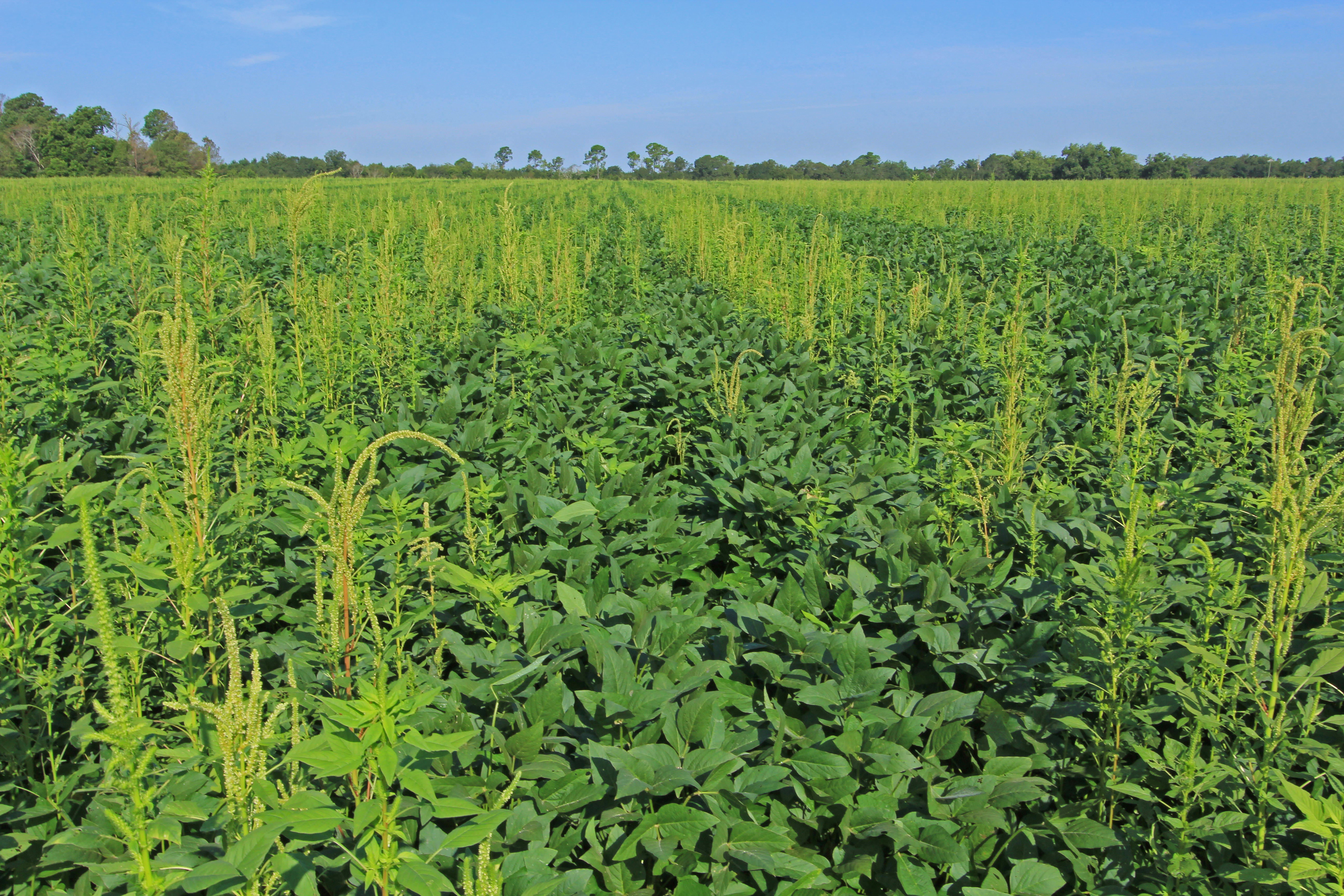
Amaranthus palmeri, infested soybean (Glycine max) field, near Shellman, Randolph County, Georgia 1
20090126-_DSC6542

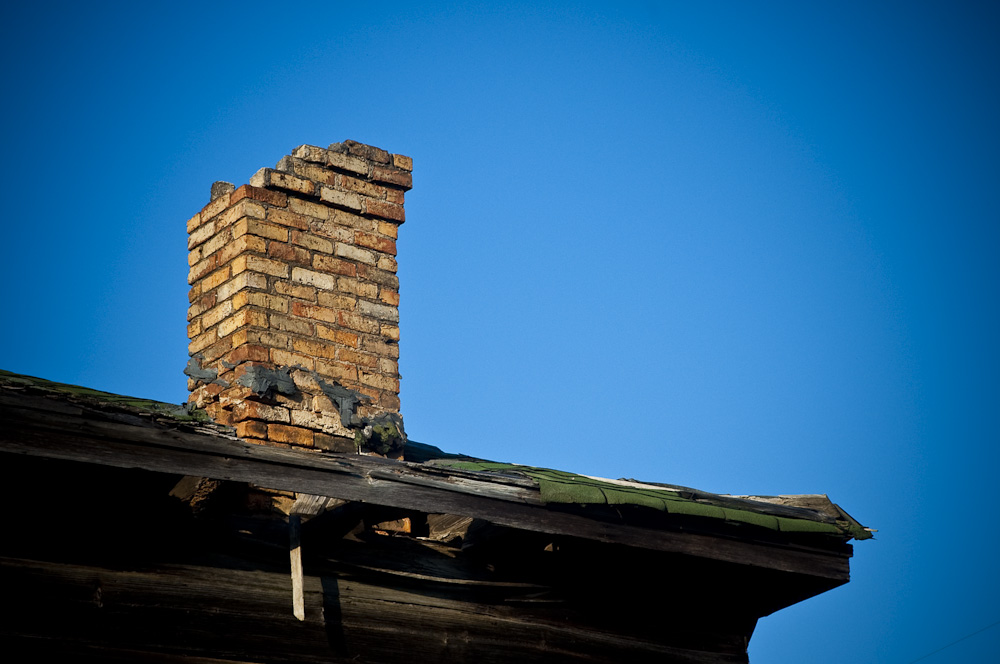
Sticks & Stove
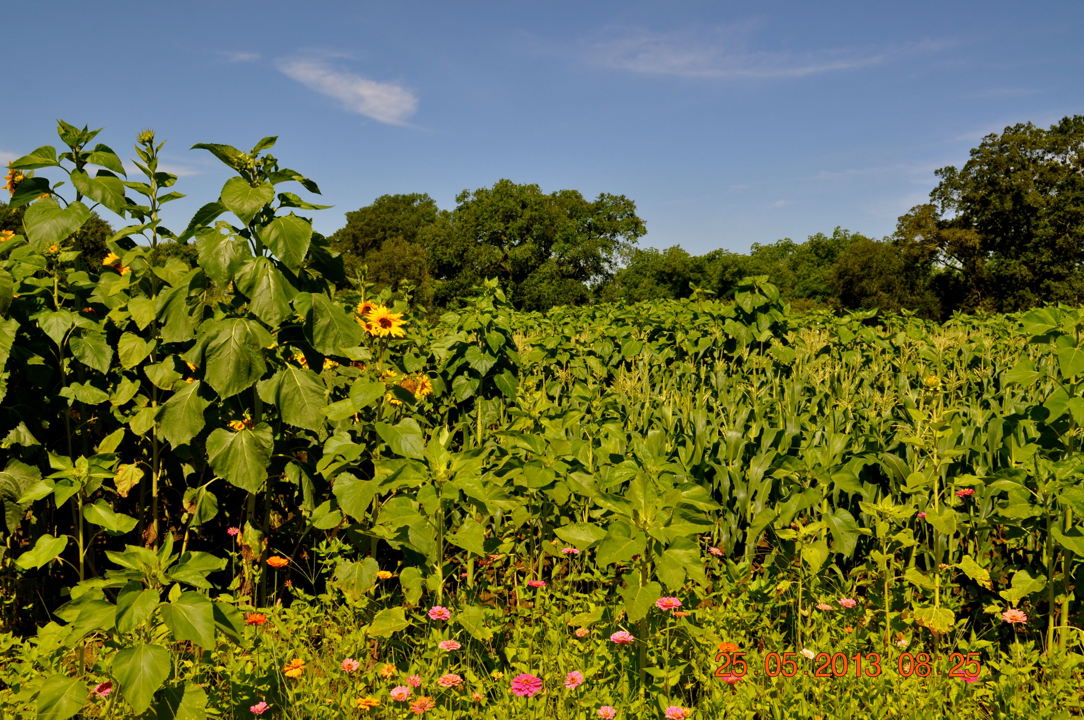
Mark's Melon Patch Dawson Ga Terrell County
Watering the yard
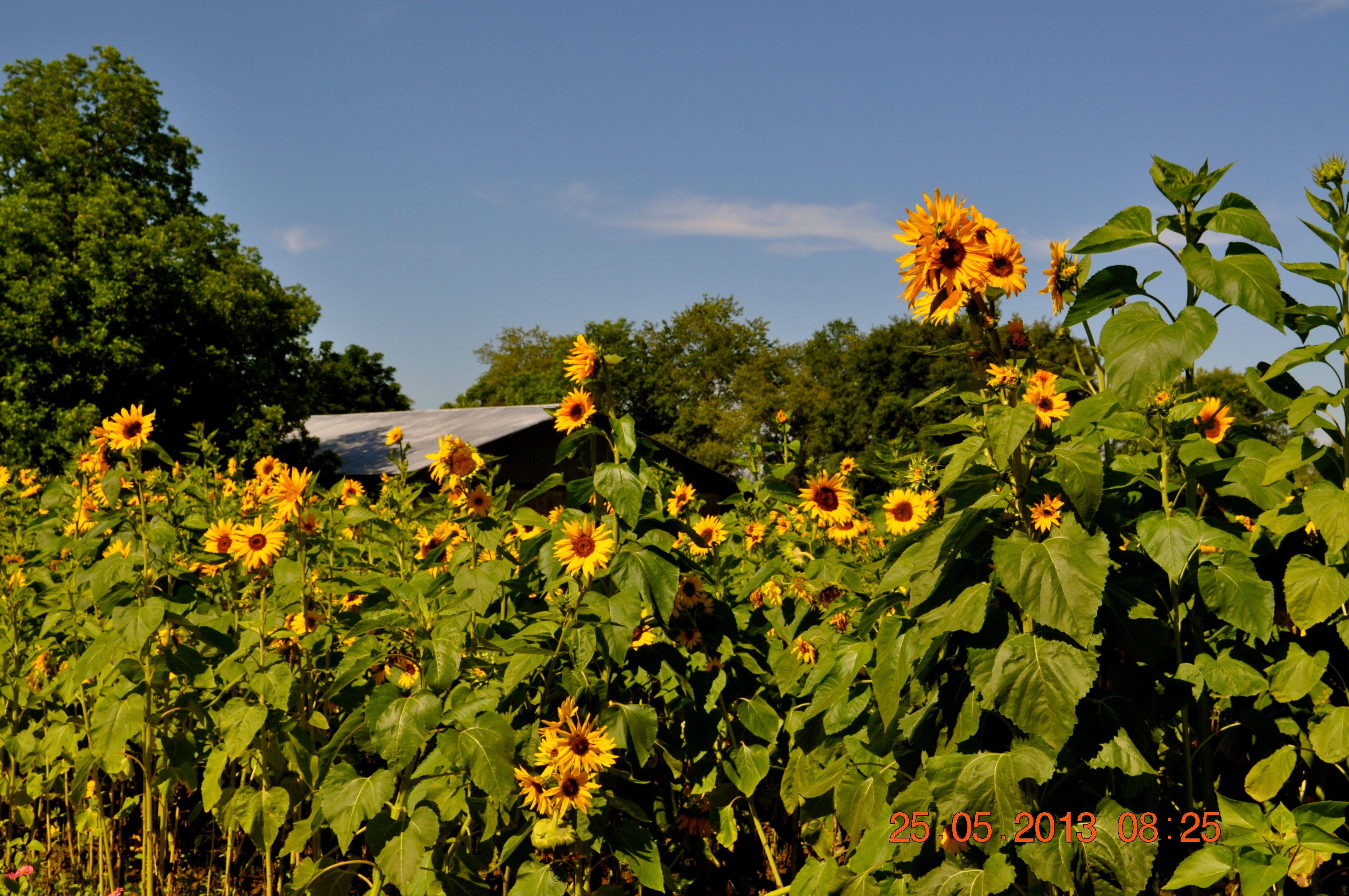
Mark's Melon Patch Dawson Ga Terrell County
Topographic Map of Terrell County, GA, USA
Find elevation by address:

Places in Terrell County, GA, USA:
Places near Terrell County, GA, USA:
Dawson
Co Rd, Dawson, GA, USA
Clarks Millpond Dam
Shellman
Buford St, Shellman, GA, USA
162 College St
Parrott
Randolph County
40 School St NE, Morgan, GA, USA
Morgan
196 Wildmeade Rd
Calhoun County
Leary
Main St, Leary, GA, USA
45 GA-37, Edison, GA, USA
Weston
GA-41, Weston, GA, USA
Webster County
Tolleson Rd, Preston, GA, USA
S Bond St, Plains, GA, USA
Recent Searches:
- Elevation of Corso Fratelli Cairoli, 35, Macerata MC, Italy
- Elevation of Tallevast Rd, Sarasota, FL, USA
- Elevation of 4th St E, Sonoma, CA, USA
- Elevation of Black Hollow Rd, Pennsdale, PA, USA
- Elevation of Oakland Ave, Williamsport, PA, USA
- Elevation of Pedrógão Grande, Portugal
- Elevation of Klee Dr, Martinsburg, WV, USA
- Elevation of Via Roma, Pieranica CR, Italy
- Elevation of Tavkvetili Mountain, Georgia
- Elevation of Hartfords Bluff Cir, Mt Pleasant, SC, USA