Elevation of Shellman, GA, USA
Location: United States > Georgia > Randolph County >
Longitude: -84.615196
Latitude: 31.7562765
Elevation: 119m / 390feet
Barometric Pressure: 100KPa
Elevation Map:
Satellite Map:
Related Photos:
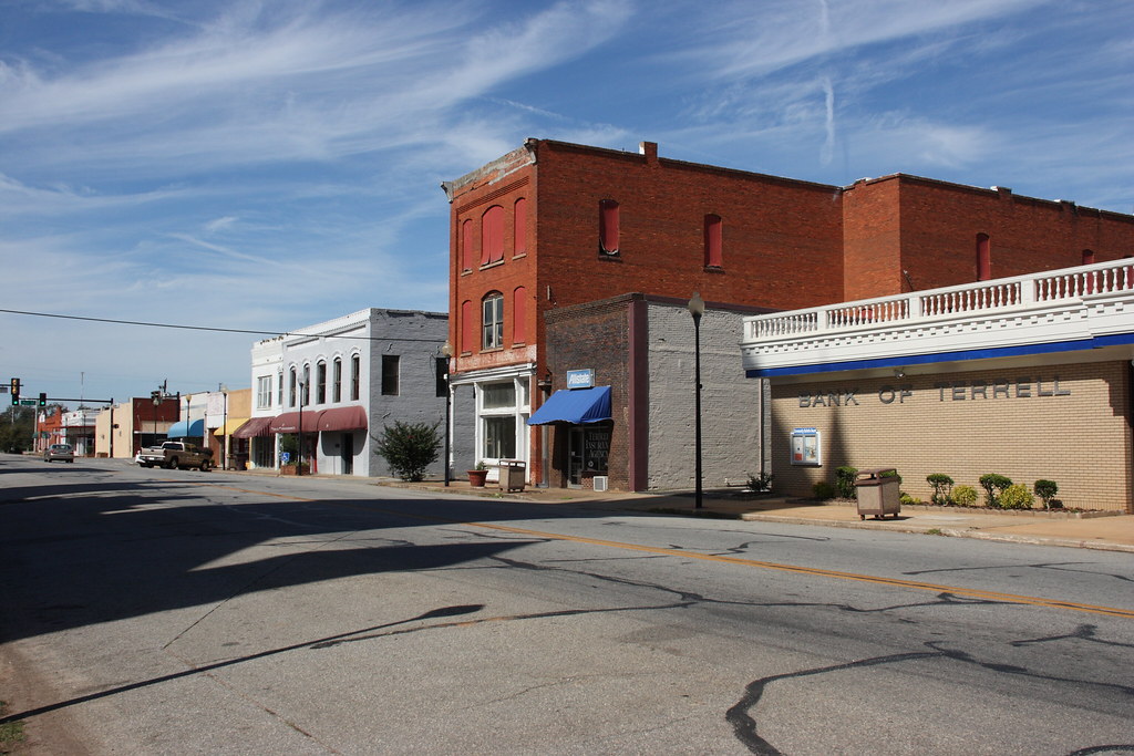
East Lee Street, Dawson, Georgia / P2013-1013D175
20090126-_DSC6571

20090126-_DSC6570
20090126-_DSC6573

20090126-_DSC6539
20111224-163
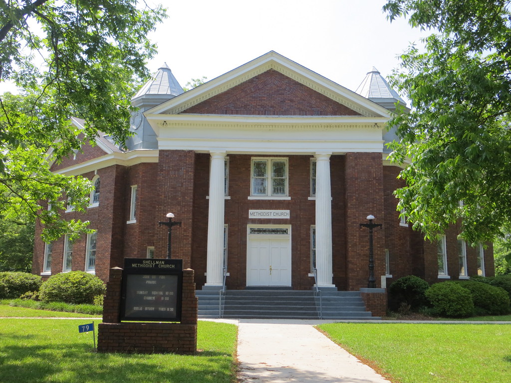
Shellman Methodist Shellman GA
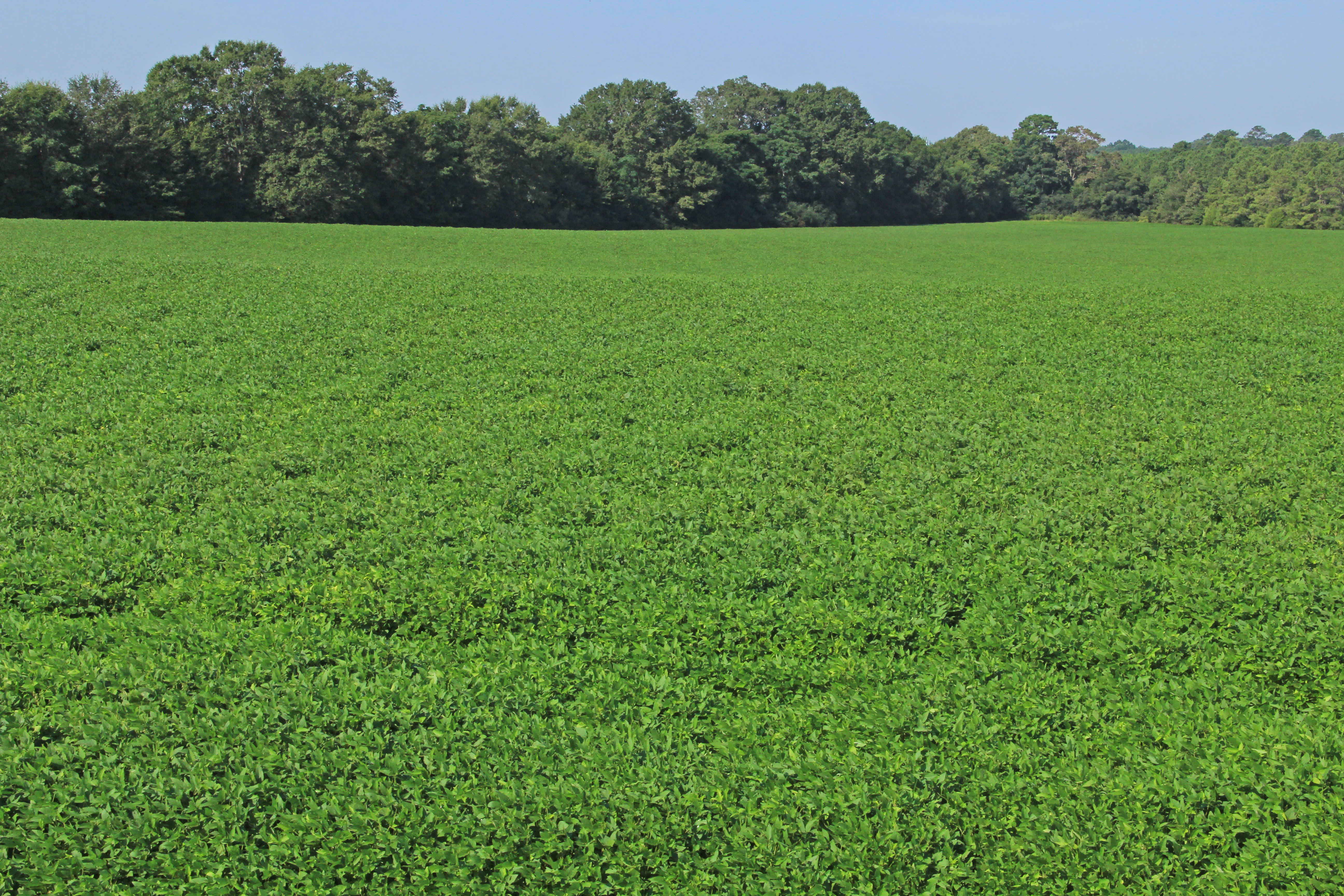
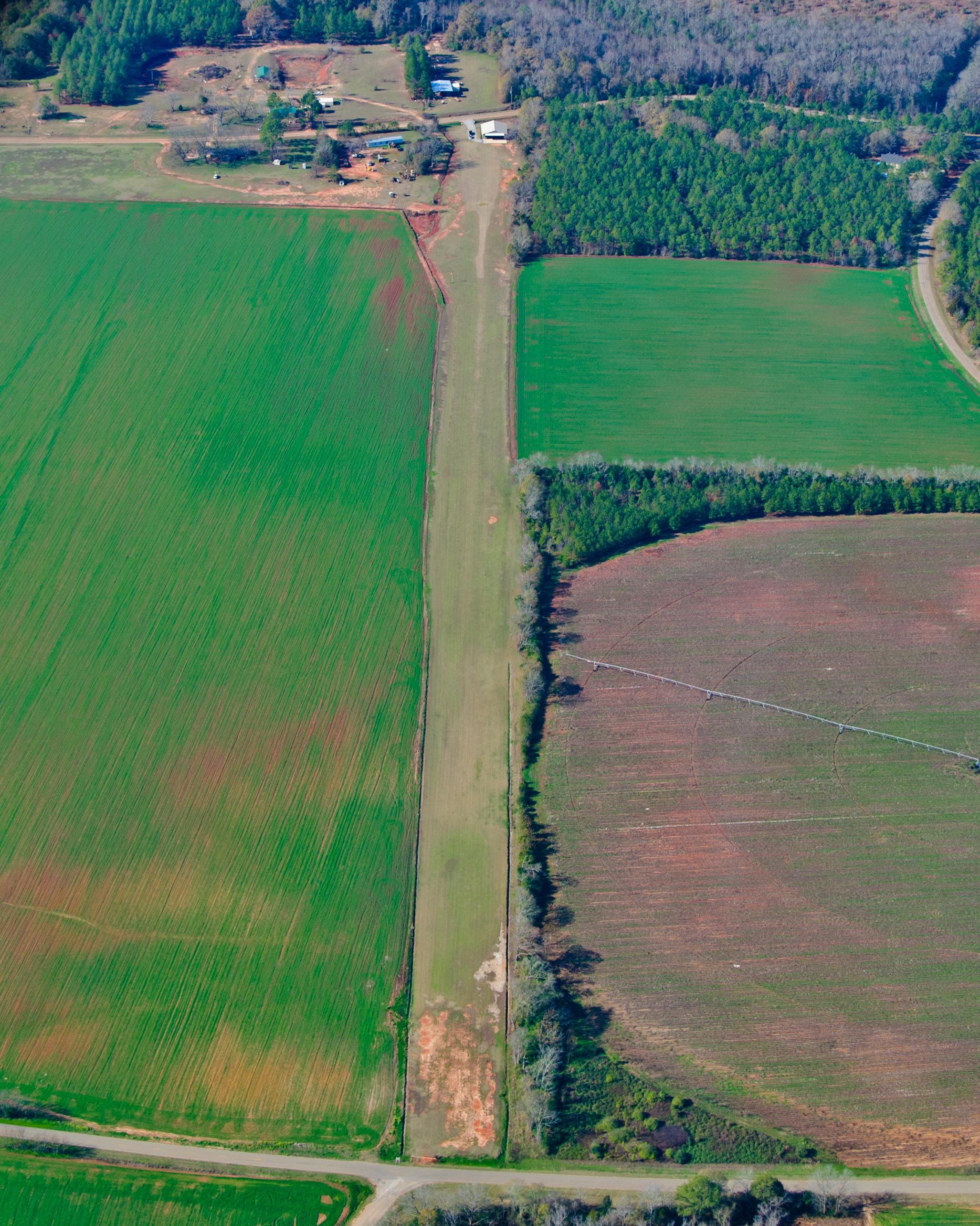
Glycine max (soybean), cultivated field, near Martins Crossroads, Randolph County, Georgia 1

Old House

Sticks & Stove
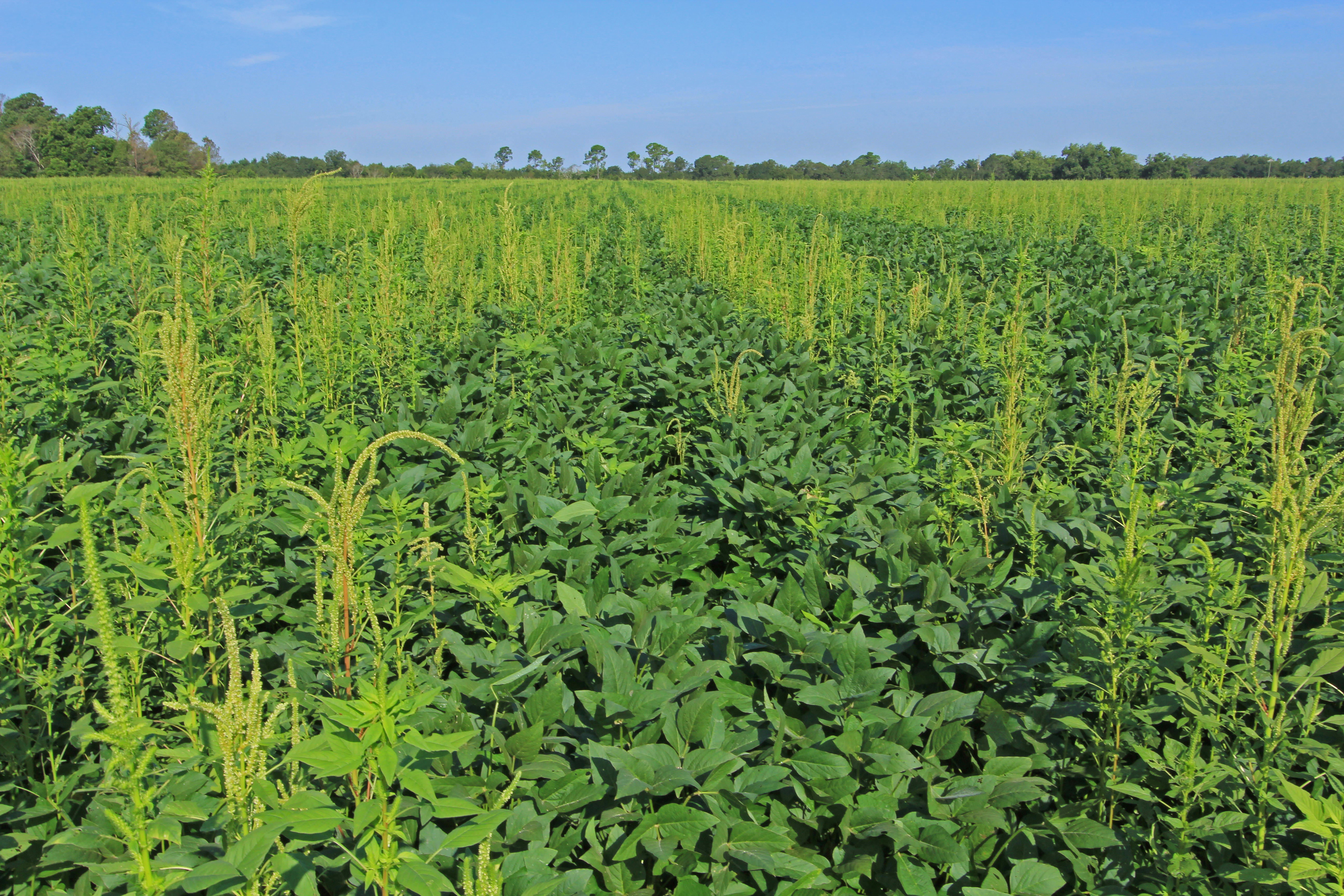
Amaranthus palmeri, infested soybean (Glycine max) field, near Shellman, Randolph County, Georgia 1
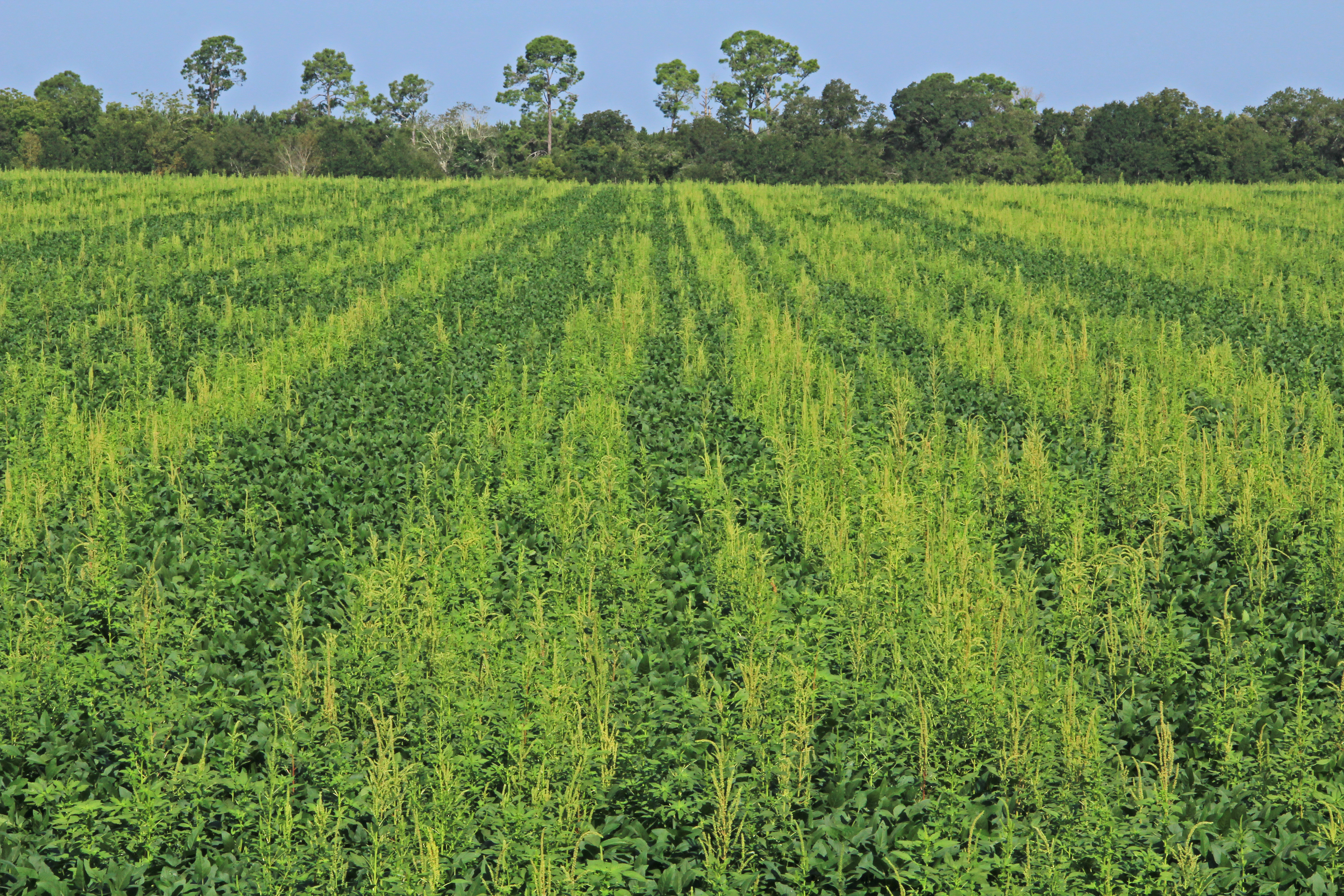
Amaranthus palmeri, infested soybean (Glycine max) field, near Shellman, Randolph County, Georgia 2

20090126-_DSC6574

20090126-_DSC6542
Topographic Map of Shellman, GA, USA
Find elevation by address:

Places in Shellman, GA, USA:
Places near Shellman, GA, USA:
Buford St, Shellman, GA, USA
Randolph County
Co Rd, Dawson, GA, USA
Terrell County
162 College St
Dawson
Parrott
Cuthbert
Clarks Millpond Dam
Calhoun County
GA-, Cuthbert, GA, USA
463 Ga-216
45 GA-37, Edison, GA, USA
40 School St NE, Morgan, GA, USA
Morgan
Weston
GA-41, Weston, GA, USA
22 US-27, Coleman, GA, USA
Edison
Kimbrough Rd, Richland, GA, USA
Recent Searches:
- Elevation of 15th Ave SE, St. Petersburg, FL, USA
- Elevation of Beall Road, Beall Rd, Florida, USA
- Elevation of Leguwa, Nepal
- Elevation of County Rd, Enterprise, AL, USA
- Elevation of Kolchuginsky District, Vladimir Oblast, Russia
- Elevation of Shustino, Vladimir Oblast, Russia
- Elevation of Lampiasi St, Sarasota, FL, USA
- Elevation of Elwyn Dr, Roanoke Rapids, NC, USA
- Elevation of Congressional Dr, Stevensville, MD, USA
- Elevation of Bellview Rd, McLean, VA, USA