Elevation of Tenke, Democratic Republic of the Congo
Location: Democratic Republic Of The Congo > Katanga > Kolwezi >
Longitude: 26.1211713
Latitude: -10.603841
Elevation: 1442m / 4731feet
Barometric Pressure: 85KPa
Elevation Map:
Satellite Map:
Related Photos:
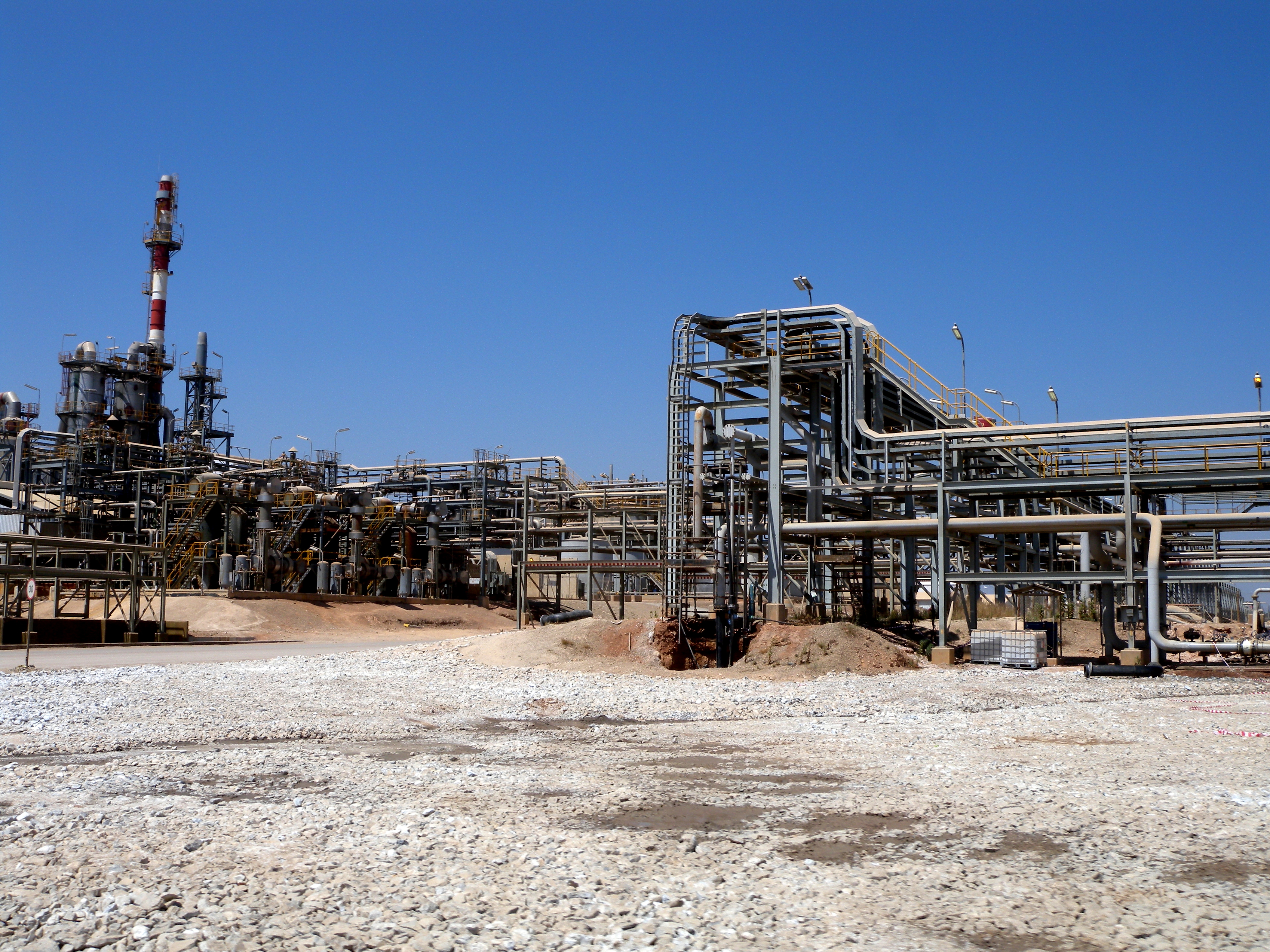
Tenke Fungurume Mining plant - DRC
Topographic Map of Tenke, Democratic Republic of the Congo
Find elevation by address:

Places near Tenke, Democratic Republic of the Congo:
Recent Searches:
- Elevation of Lytham Ln, Katy, TX, USA
- Elevation of Tater Hill, Oklahoma, USA
- Elevation of NY-, Friendship, NY, USA
- Elevation of 64 Danakas Dr, Winnipeg, MB R2C 5N7, Canada
- Elevation of 4 Vale Rd, Sheffield S3 9QX, UK
- Elevation of Keene Point Drive, Keene Point Dr, Grant, AL, USA
- Elevation of State St, Zanesville, OH, USA
- Elevation of Austin Stone Dr, Haslet, TX, USA
- Elevation of Bydgoszcz, Poland
- Elevation of Bydgoszcz, Poland