Elevation of Kolwezi, Democratic Republic of the Congo
Location: Democratic Republic Of The Congo > Katanga > Kolwezi >
Longitude: 25.5088914
Latitude: -10.727527
Elevation: 1524m / 5000feet
Barometric Pressure: 84KPa
Elevation Map:
Satellite Map:
Related Photos:
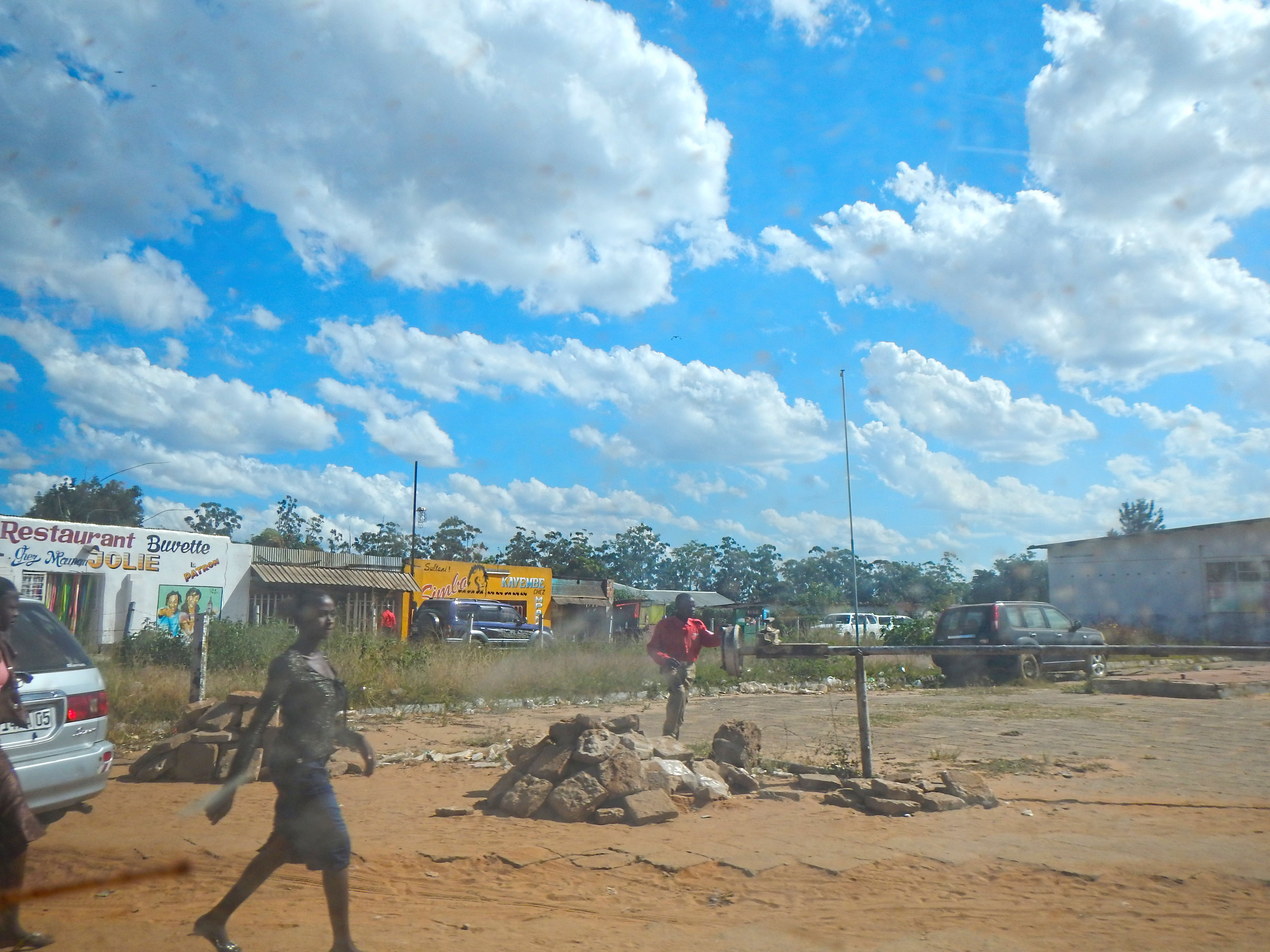
Kolwezi, Democratic Republic of the Congo
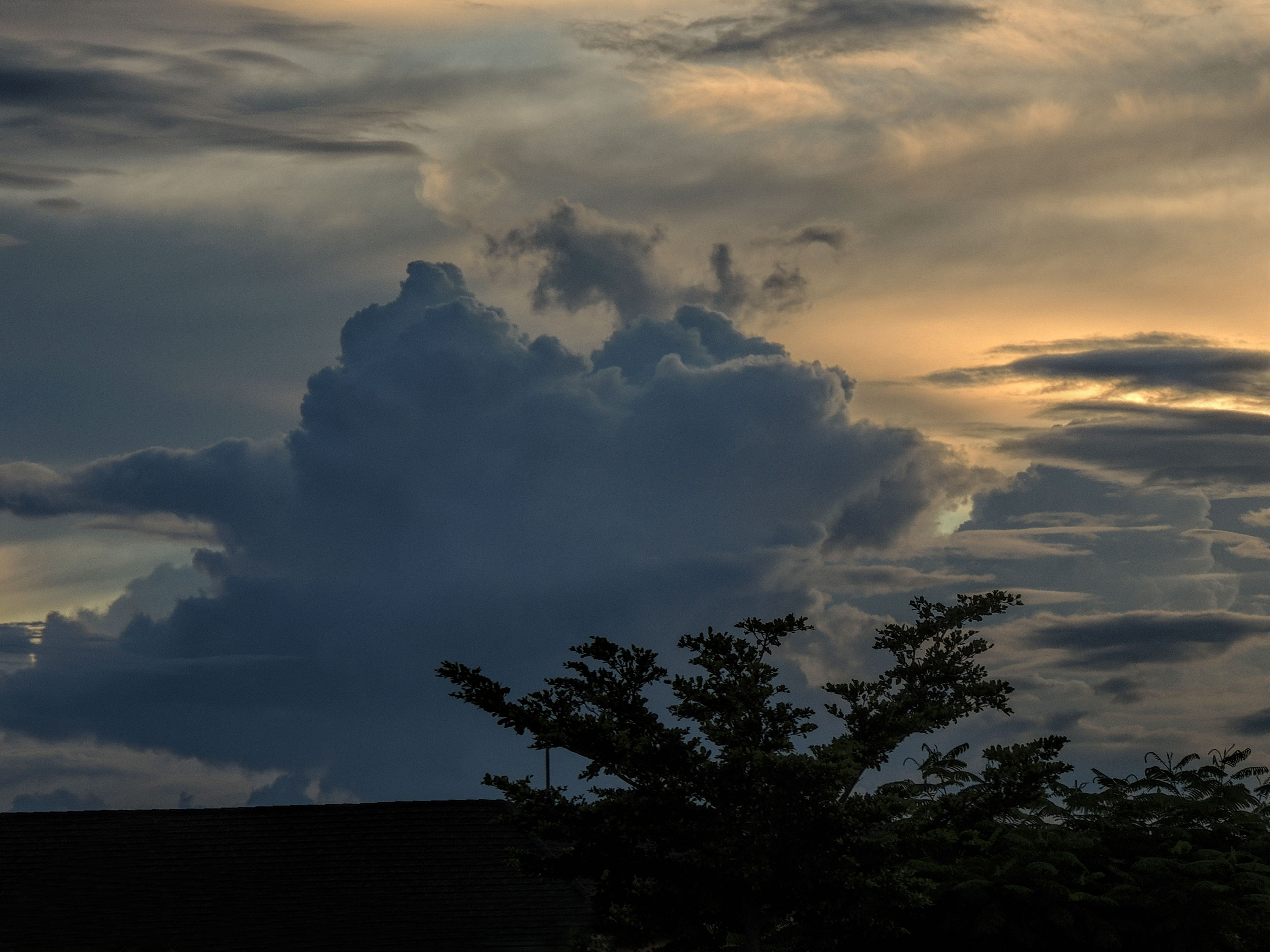
Clouds over Kolwezi DRC
DSCN1355-1

Shaft #1 Headframe
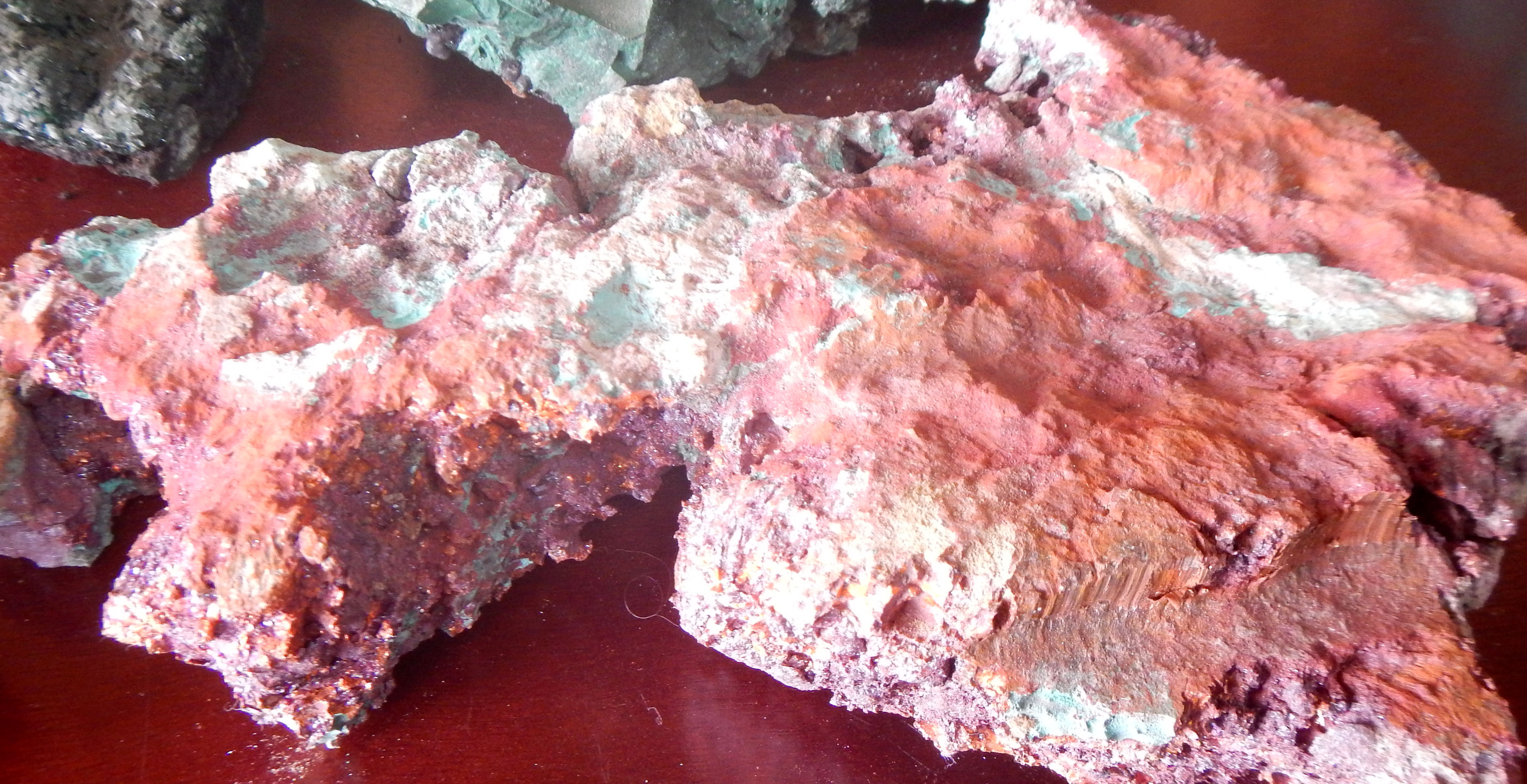
Malachite & Native Copper
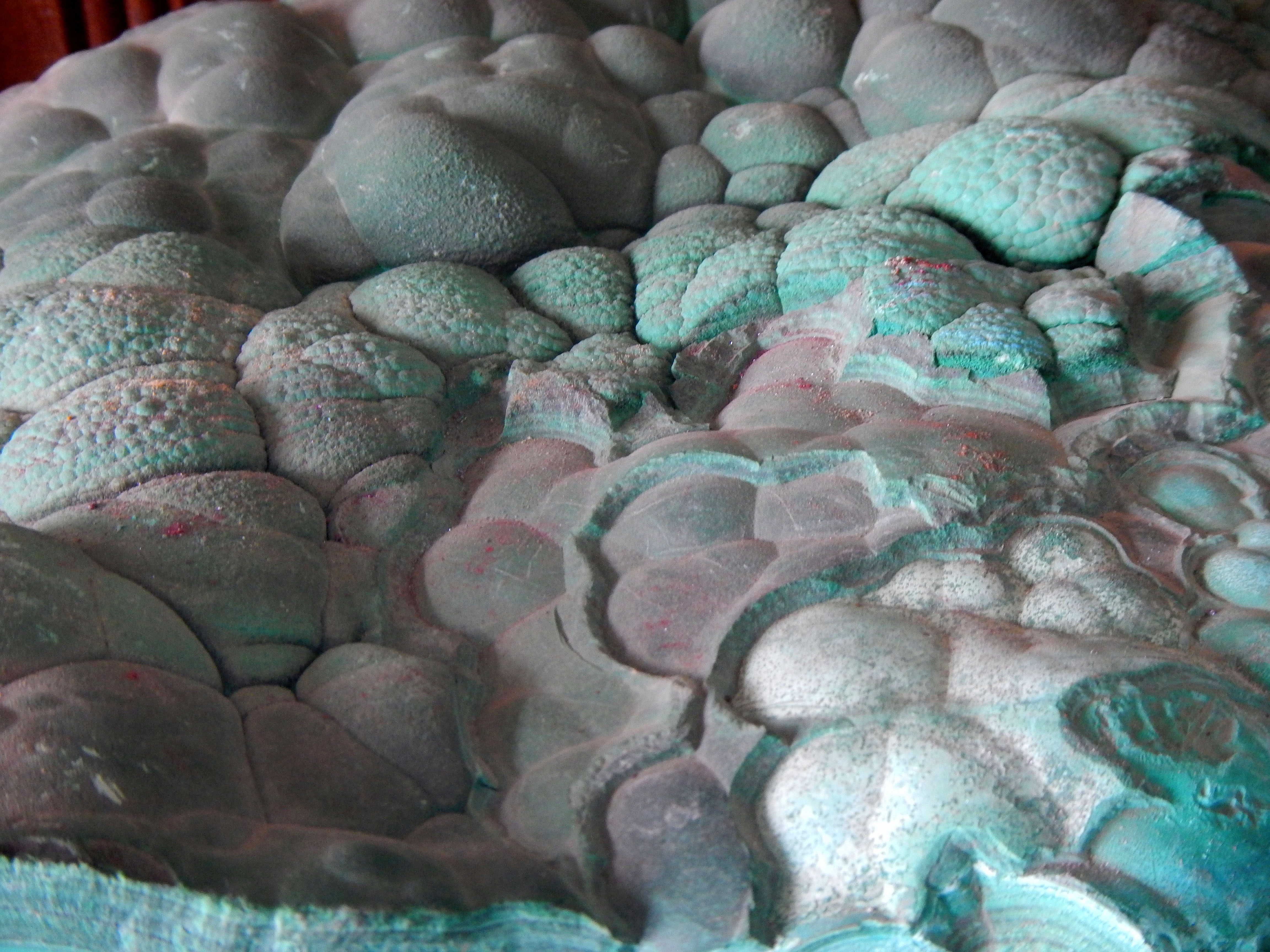
Malachite & Native Copper
Malachite & Native Copper
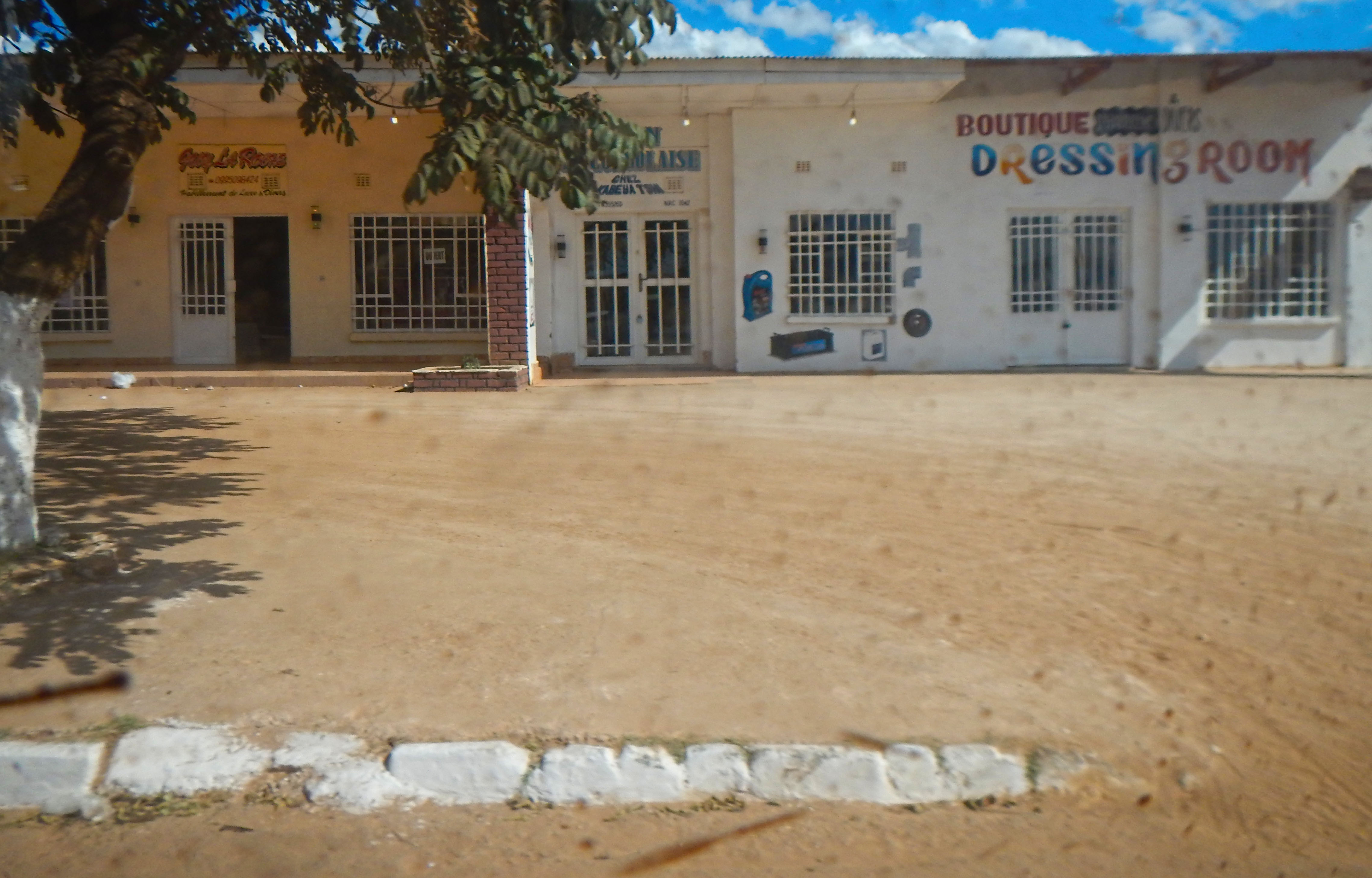
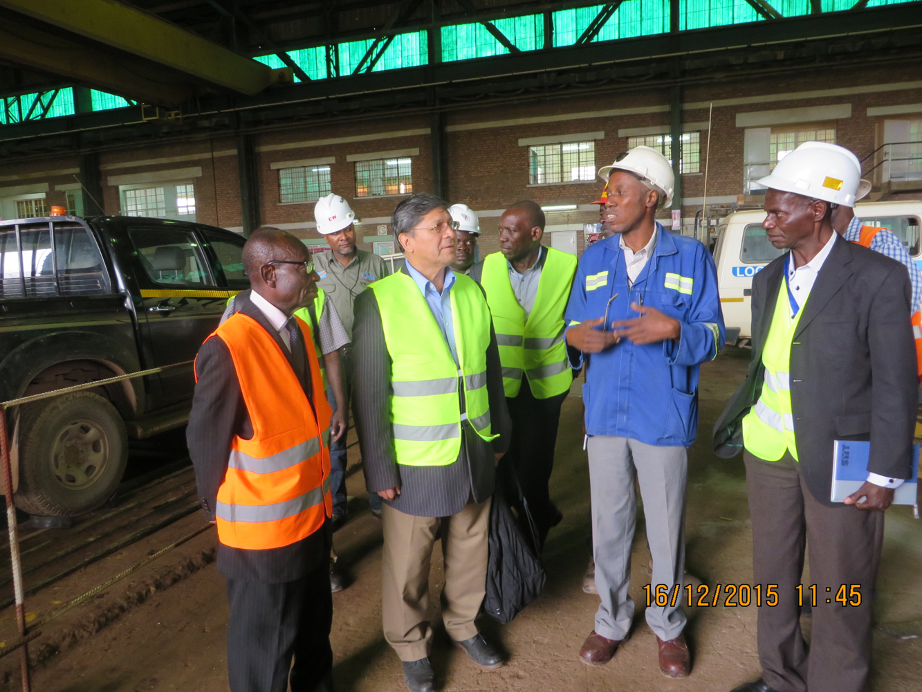
Kolwezi, Democratic Republic of the Congo
Kolwezi, Democratic Republic of the Congo
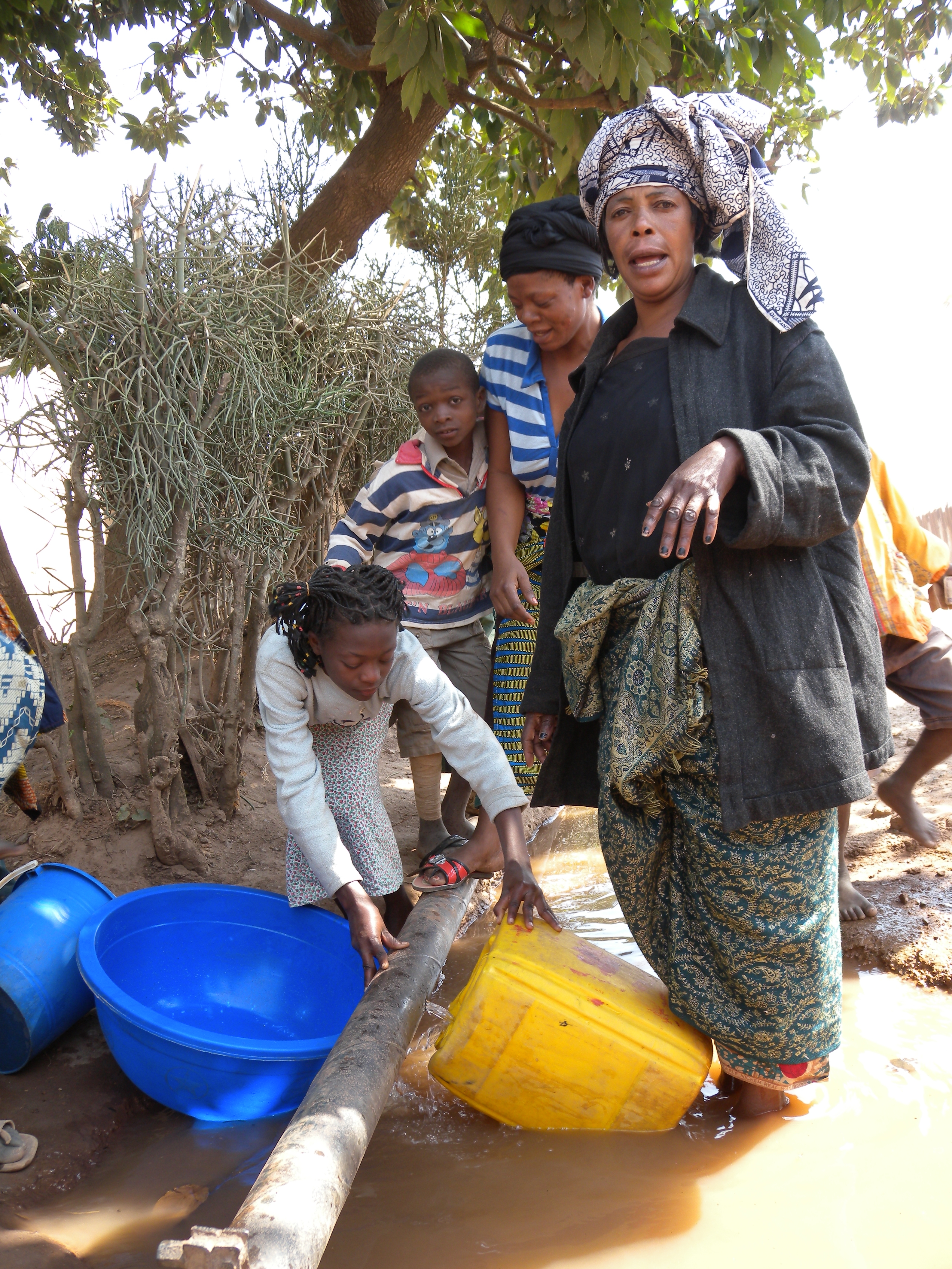
Queue for Water - Katanga Province, DRC
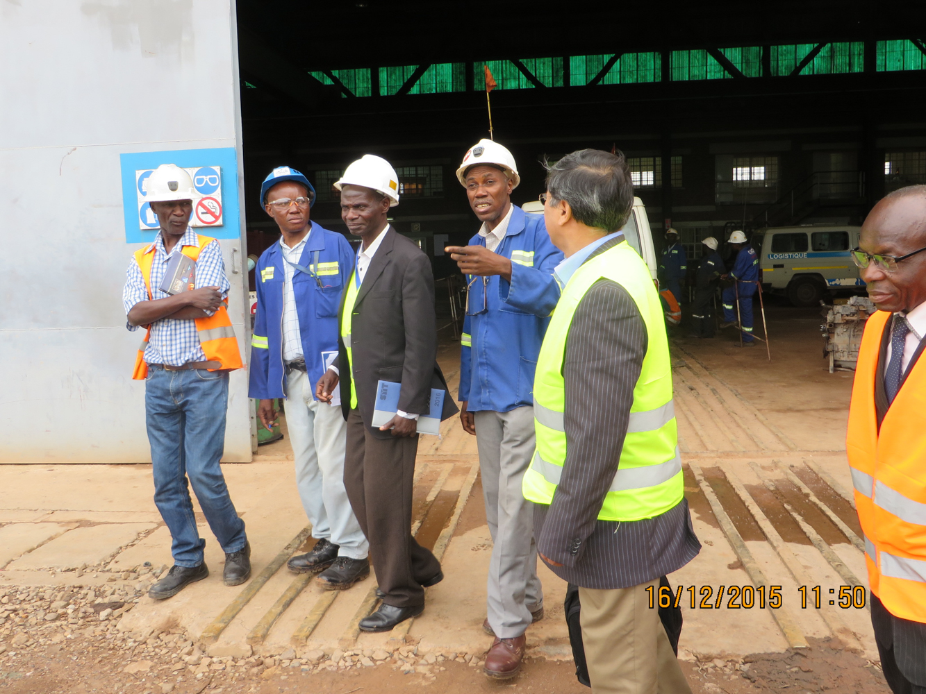
Programme d'appui à l'insertion professionnelle des jeunes en RDCongo
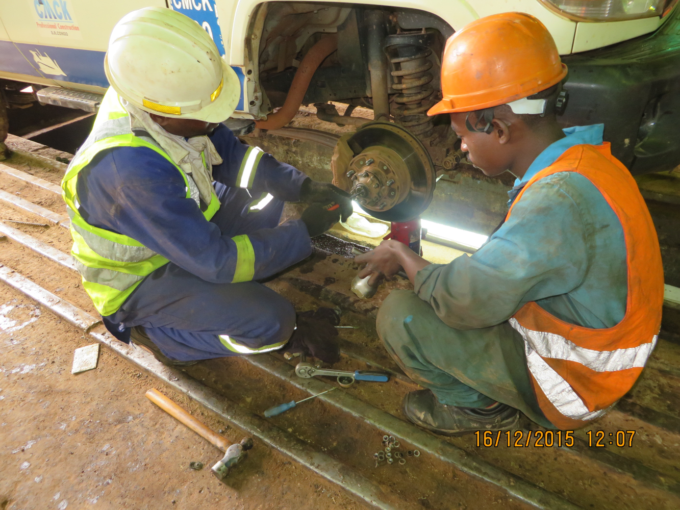
Programme d'appui à l'insertion professionnelle des jeunes en RDCongo
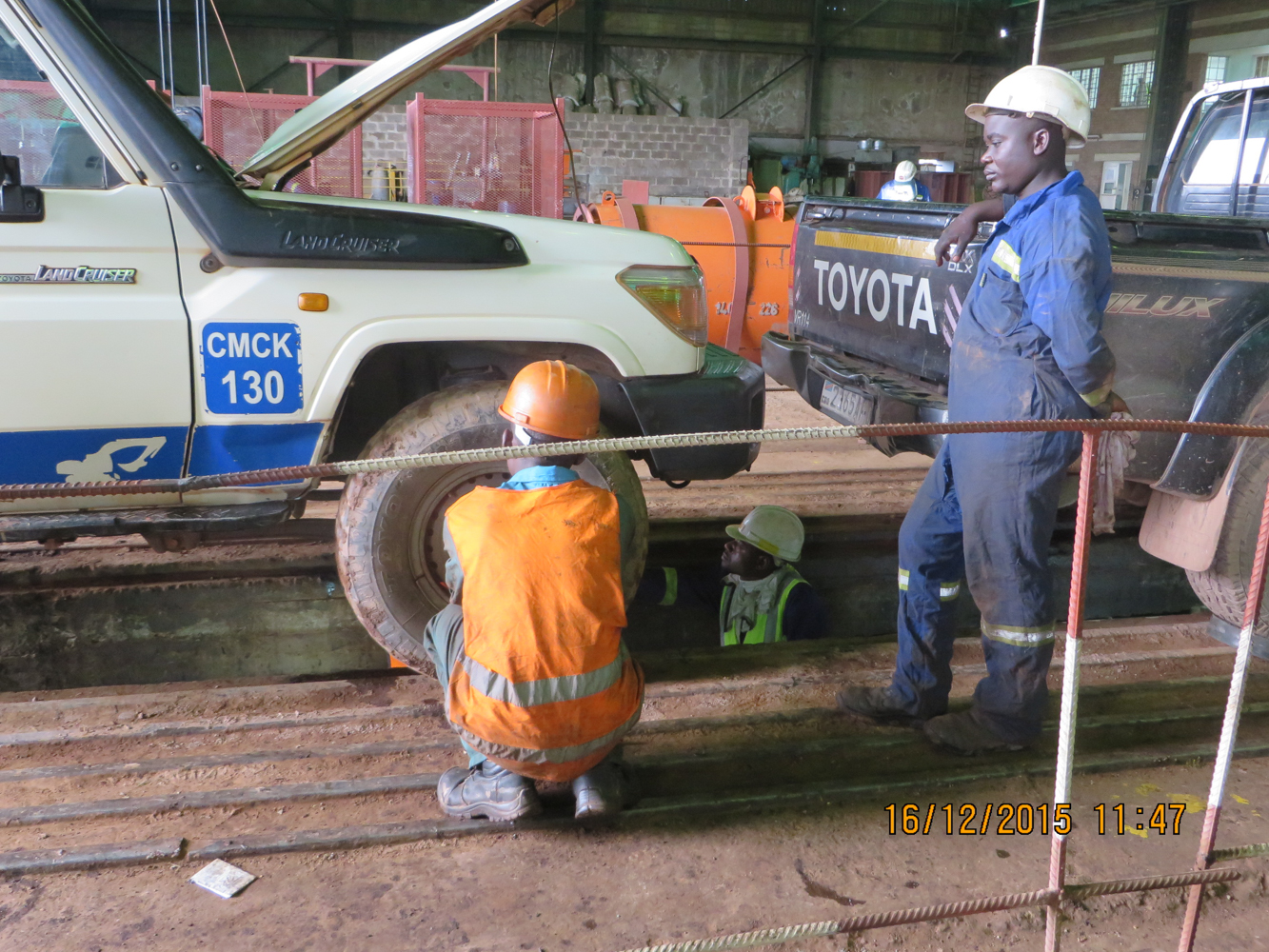
Programme d'appui à l'insertion professionnelle des jeunes en RDCongo
Programme d'appui à l'insertion professionnelle des jeunes en RDCongo
DSCN1457-1
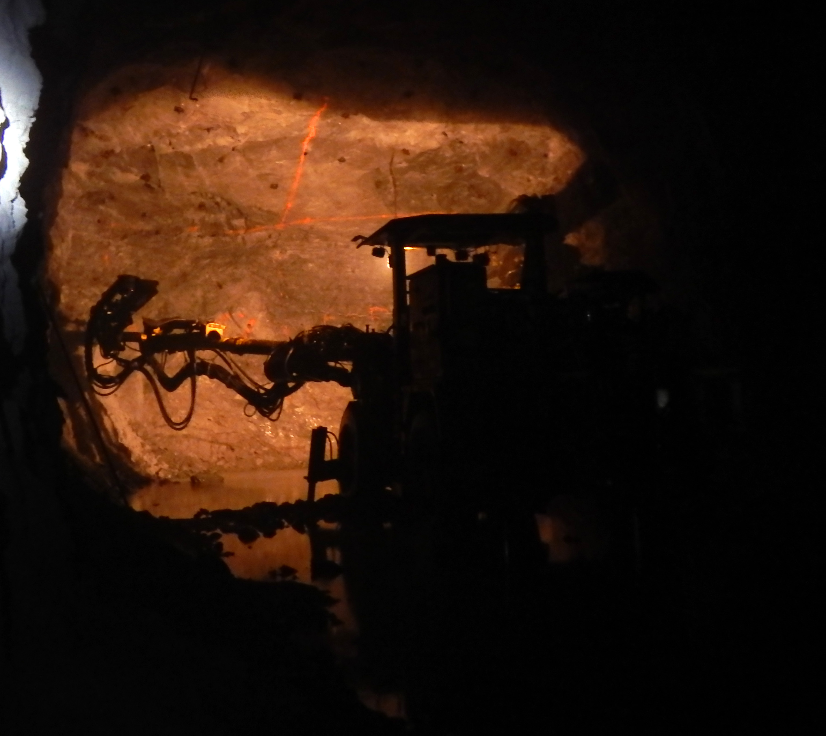
Kamoto Underground Copper Mine, DRC Kolwezi, Congo
Kamoto Underground Copper Mine, DRC Kolwezi, Congo
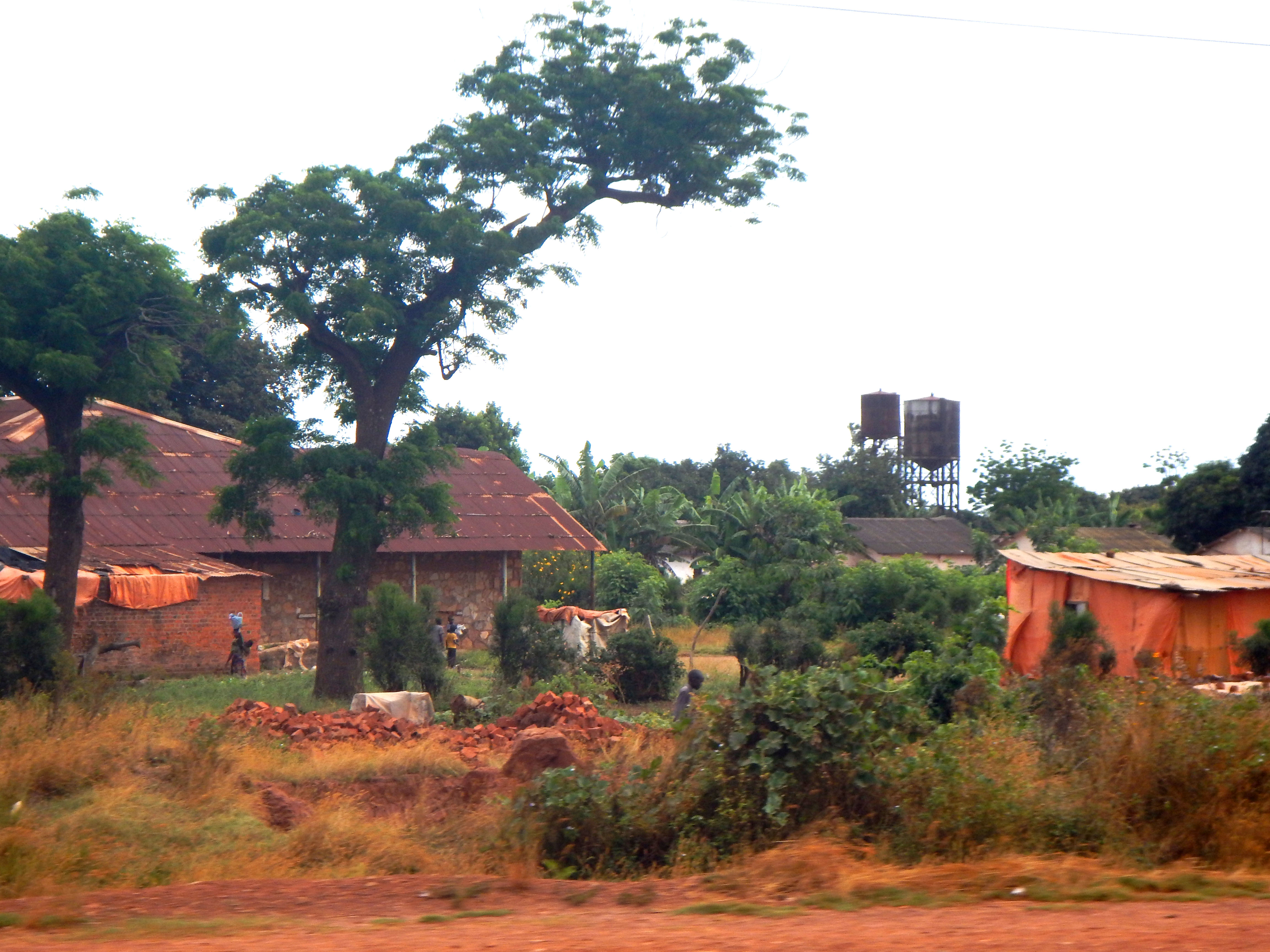
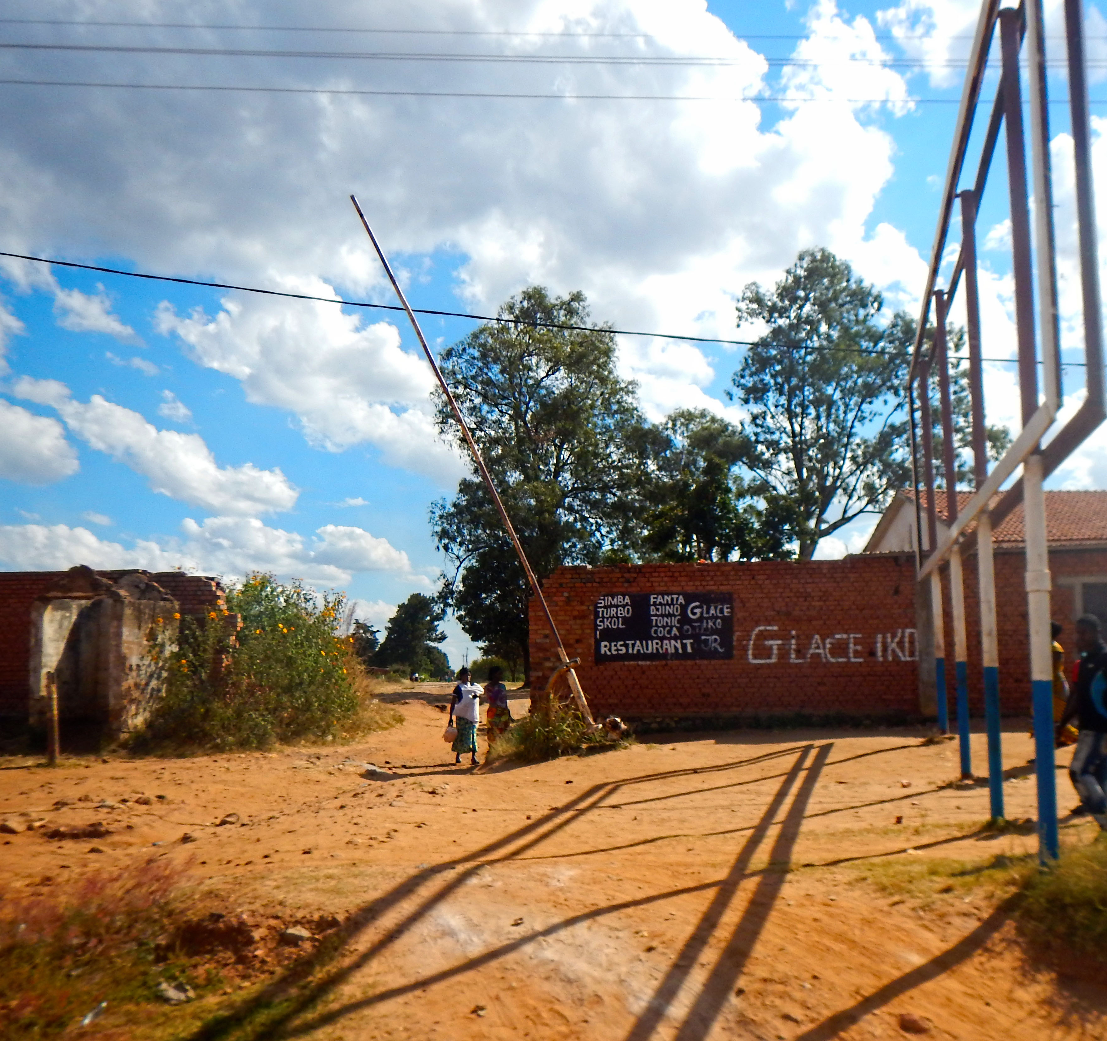
Kolwezi, Democratic Republic of the Congo
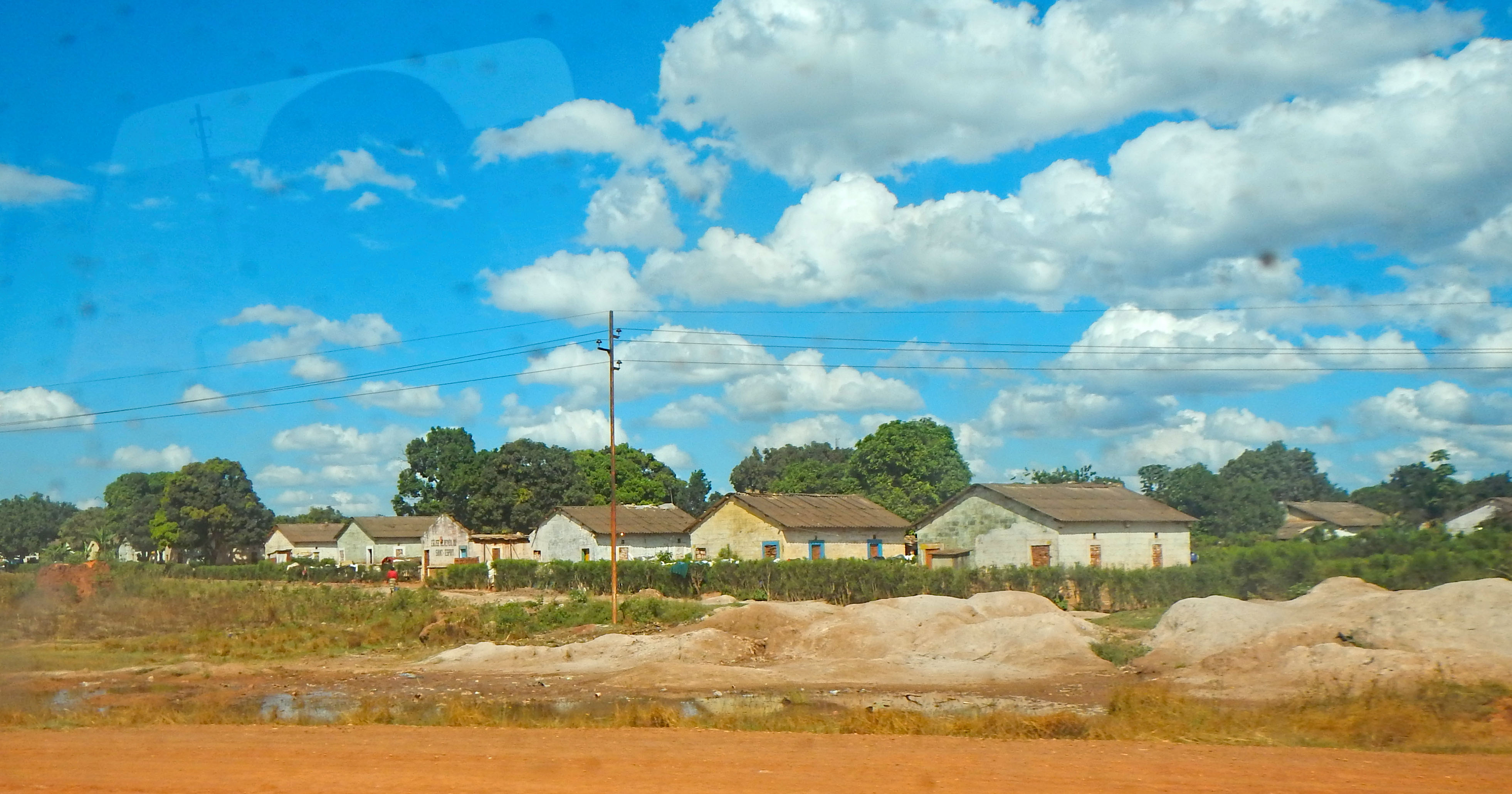
Kolwezi, Democratic Republic of the Congo

Kolwezi, Democratic Republic of the Congo
Kolwezi, Democratic Republic of the Congo
Topographic Map of Kolwezi, Democratic Republic of the Congo
Find elevation by address:

Places in Kolwezi, Democratic Republic of the Congo:
Places near Kolwezi, Democratic Republic of the Congo:
Recent Searches:
- Elevation of 15th Ave SE, St. Petersburg, FL, USA
- Elevation of Beall Road, Beall Rd, Florida, USA
- Elevation of Leguwa, Nepal
- Elevation of County Rd, Enterprise, AL, USA
- Elevation of Kolchuginsky District, Vladimir Oblast, Russia
- Elevation of Shustino, Vladimir Oblast, Russia
- Elevation of Lampiasi St, Sarasota, FL, USA
- Elevation of Elwyn Dr, Roanoke Rapids, NC, USA
- Elevation of Congressional Dr, Stevensville, MD, USA
- Elevation of Bellview Rd, McLean, VA, USA