Elevation of Teman Mill Rd, Beaverdam, VA, USA
Location: United States > Virginia > Hanover County > Beaverdam >
Longitude: -77.622533
Latitude: 37.937625
Elevation: 86m / 282feet
Barometric Pressure: 100KPa
Elevation Map:
Satellite Map:
Related Photos:

Day 223 - I Just Met This Sexy Haitian Girl Moving Like A Dancer

Corn Field
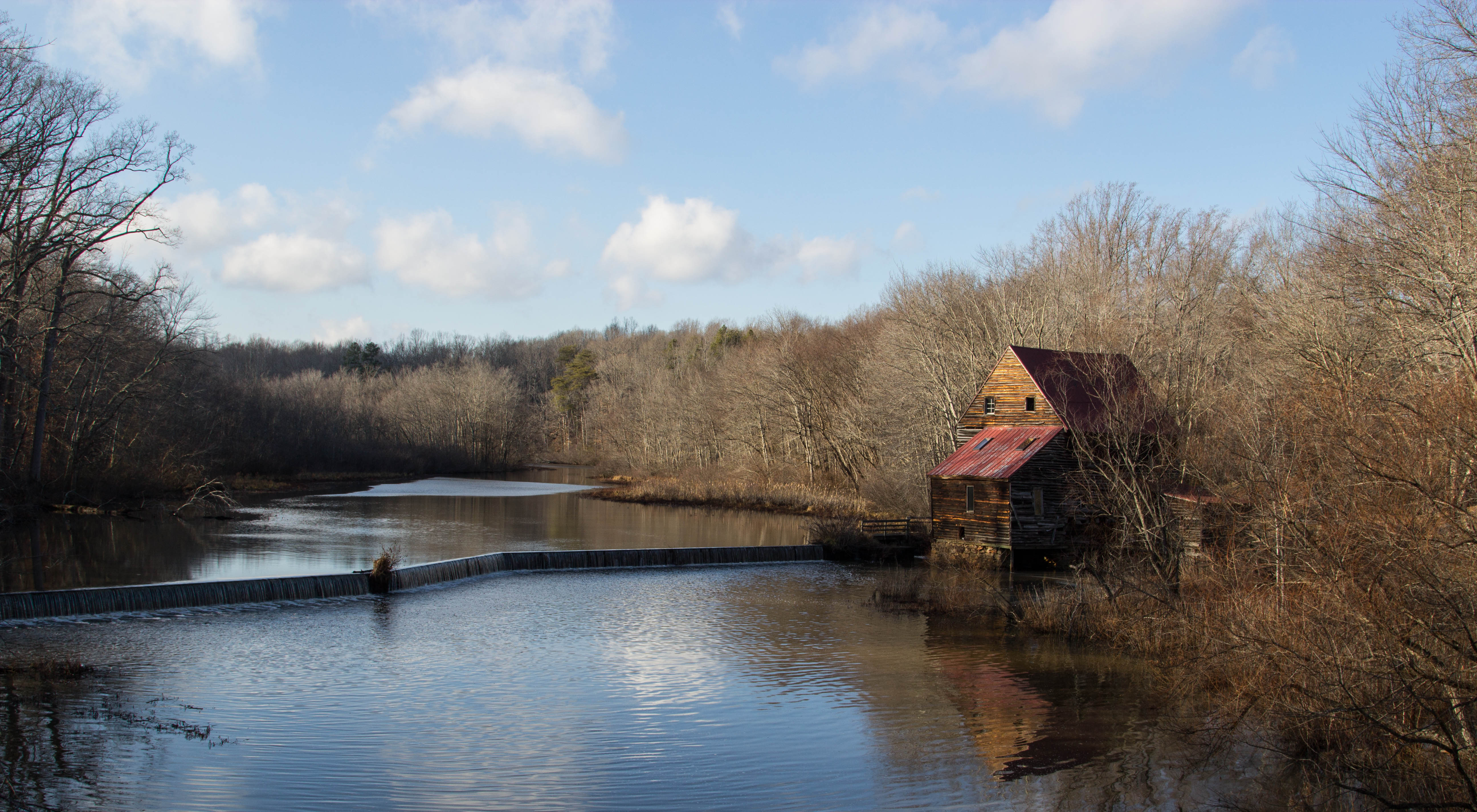
Woodson's Mill, Hanover Virginia
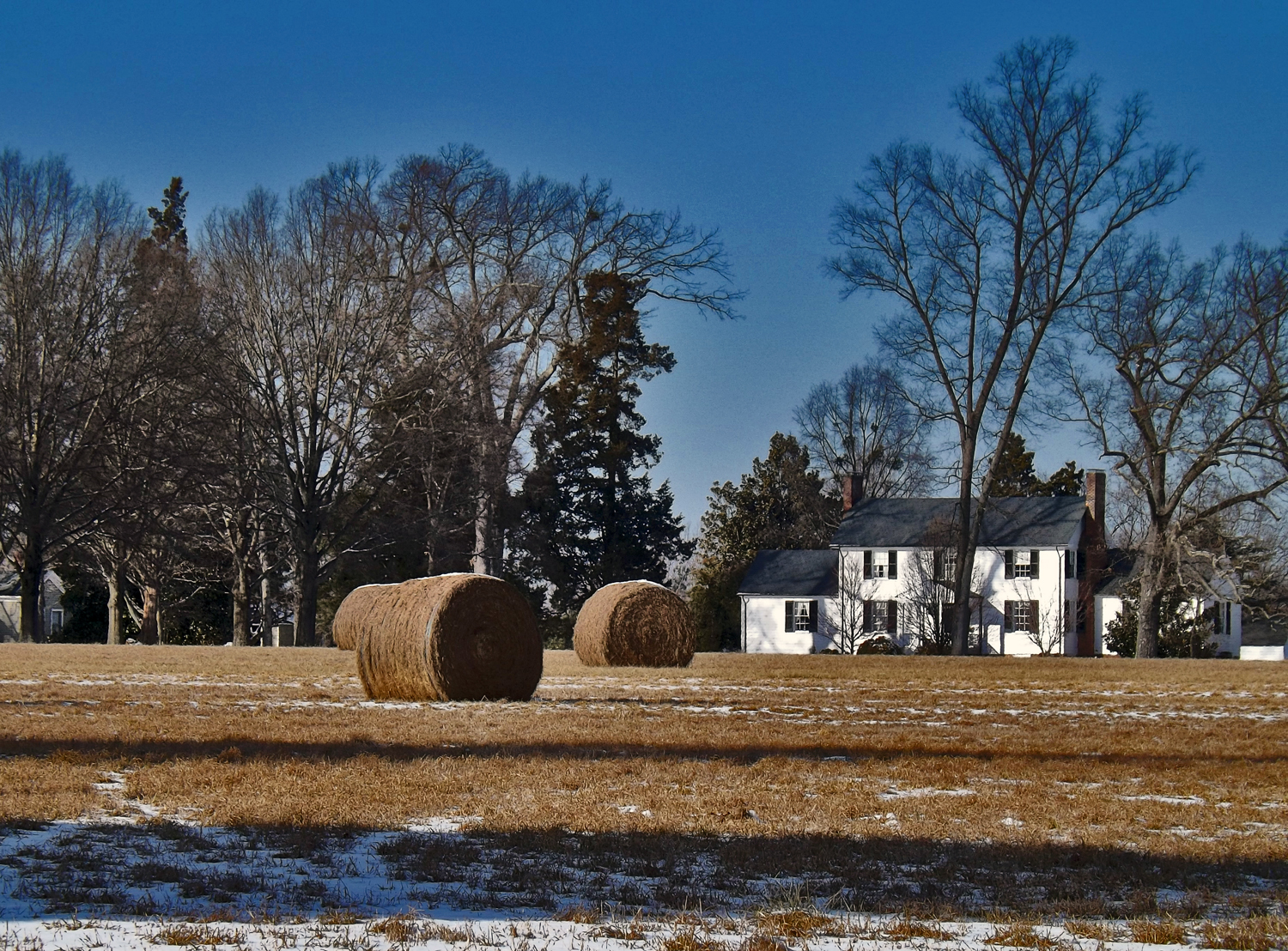
Rolled Hay in Front of a Farm House

Yellow-rumped (Myrtle) Warbler, Virginia
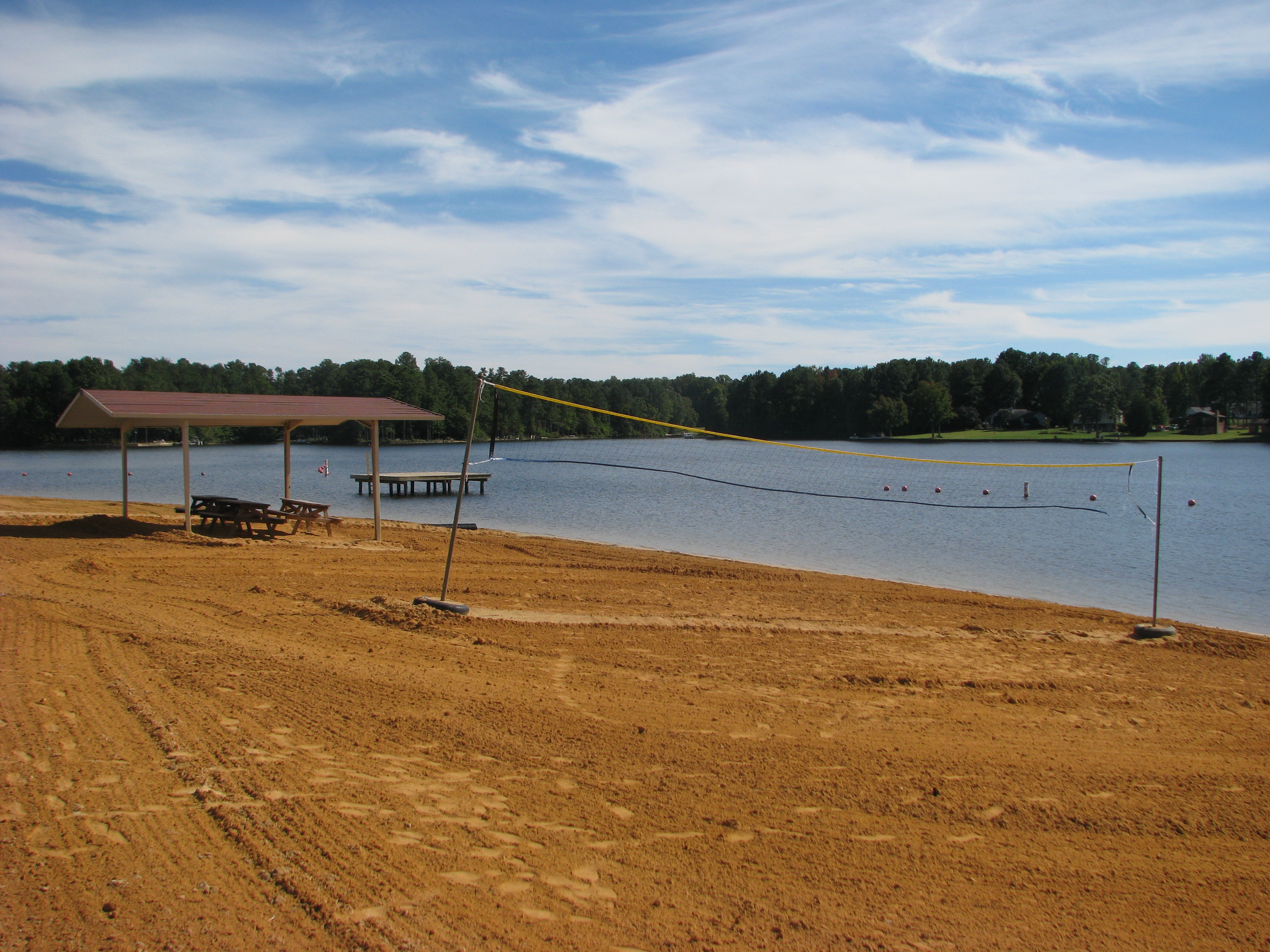
the Lake

Yellow-rumped (Myrtle) Warbler, Virginia
DSC_0049.JPG

The Farm on Wallers Rd (042)
Lake Caroline, Ruther Glen, Virginia
The Pond at Wallers Rd Farm

Country Farm
2013-08-30 19.07.08 HDR

Pendleton Golf Club in Caroline County
The Farm on Wallers Rd (041)

Gail Martin Service Weekend 009
Lake Caroline Community Beach

Foggy Morning in Hanover
fall rain

the berry farm

Lake Land'Or, Caroline County
Topographic Map of Teman Mill Rd, Beaverdam, VA, USA
Find elevation by address:

Places near Teman Mill Rd, Beaverdam, VA, USA:
Beaverdam
Hewlett Rd, Ruther Glen, VA, USA
Beaverdam
Montpelier
15003 Lane Mill Rd
Melody Hills Drive
14185 Hollows Dr
21807 Cool Water Dr
Cool Water Dr, Ruther Glen, VA, USA
23724 Rogers Clark Blvd
Interstate 95
Interstate 95
Interstate 95
11087 Affirmed Ct
Ruther Glen
Doswell
Colemans Mill Rd, Ruther Glen, VA, USA
Taylorsville
Ashland Mill
10029 Old Ridge Rd
Recent Searches:
- Elevation of Elwyn Dr, Roanoke Rapids, NC, USA
- Elevation of Congressional Dr, Stevensville, MD, USA
- Elevation of Bellview Rd, McLean, VA, USA
- Elevation of Stage Island Rd, Chatham, MA, USA
- Elevation of Shibuya Scramble Crossing, 21 Udagawacho, Shibuya City, Tokyo -, Japan
- Elevation of Jadagoniai, Kaunas District Municipality, Lithuania
- Elevation of Pagonija rock, Kranto 7-oji g. 8"N, Kaunas, Lithuania
- Elevation of Co Rd 87, Jamestown, CO, USA
- Elevation of Tenjo, Cundinamarca, Colombia
- Elevation of Côte-des-Neiges, Montreal, QC H4A 3J6, Canada